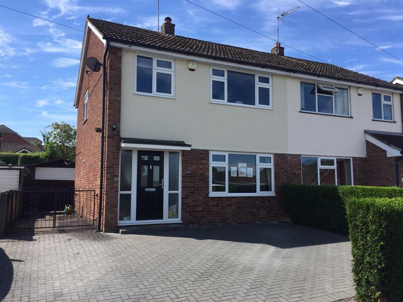
6 CHURCHILL CLOSE
CONGLETON, CHESHIRE EAST CW12 4QU
£1,100 pcm
Property details
Floor area
80 m²
Council tax band
B
Year built
England and Wales: 1967-1975
Deprivation
Decile 8 (24,609 of 33,755)
Street crime
68 incidents within 1 mile (Apr 2026)
Key features
- SOUGHT-AFTER WEST HEATH LOCATION WITH STRONG LOCAL DEMAND
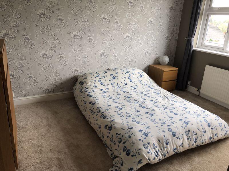
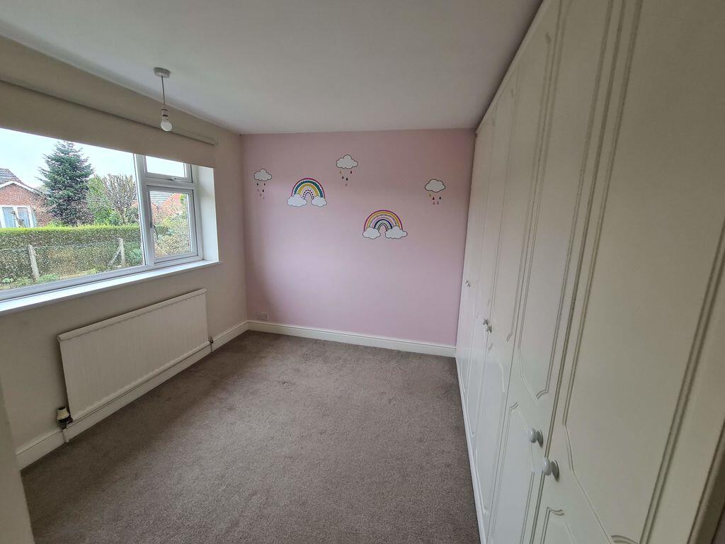
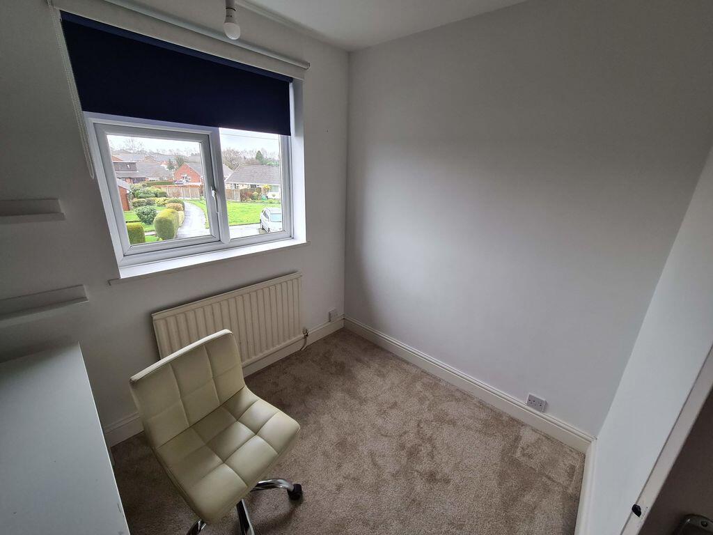
- THREE WELL-PROPORTIONED BEDROOMS – IDEAL FOR FAMILIES
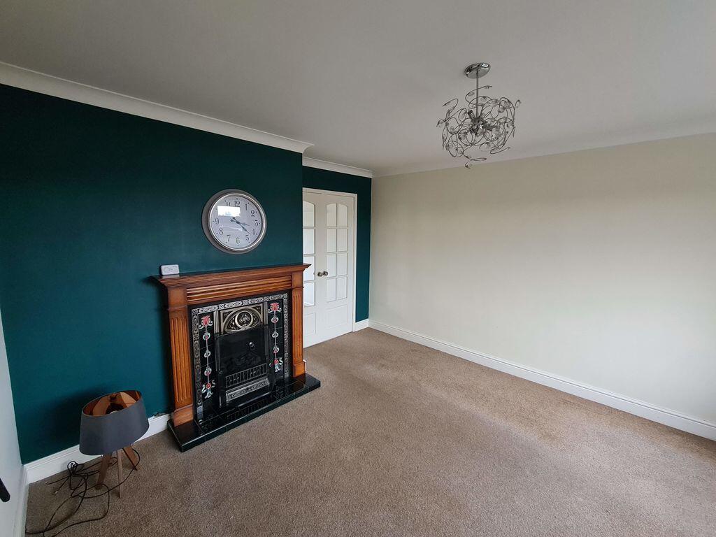
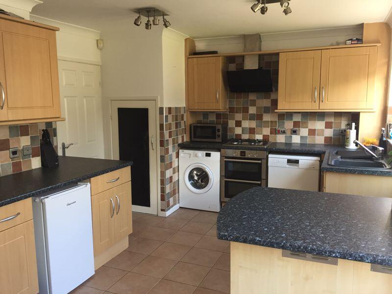
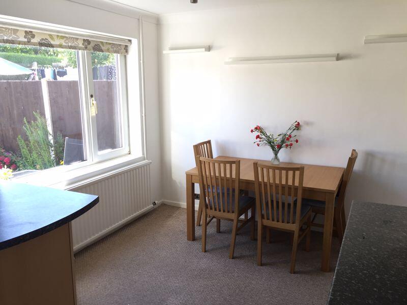
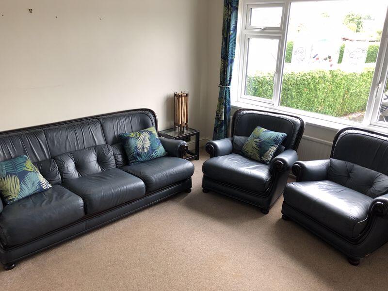
- SPACIOUS LOUNGE AND MODERN FITTED DINING KITCHEN
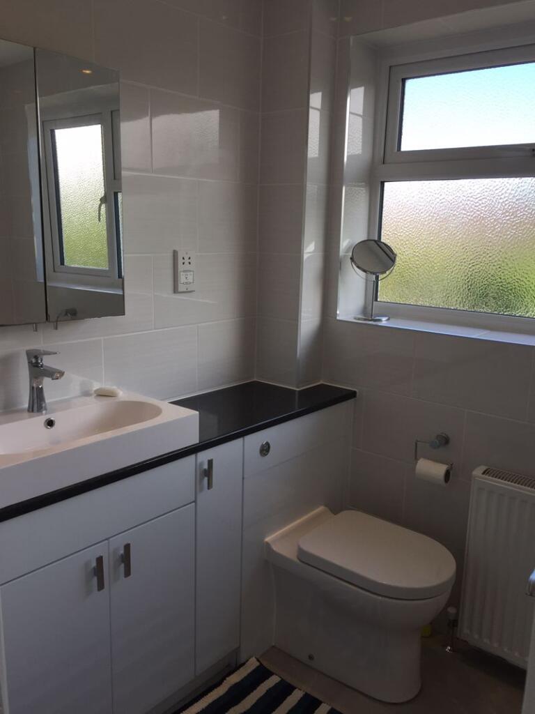
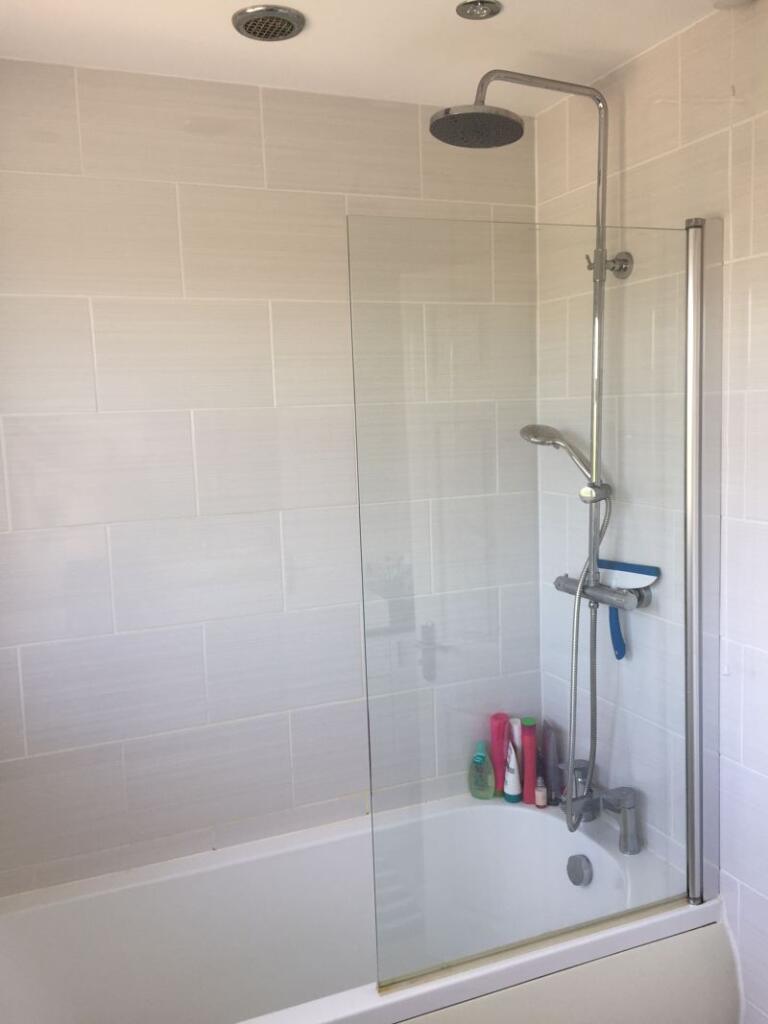
- RECENTLY REFITTED, STYLISH FAMILY BATHROOM
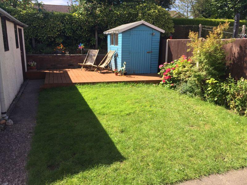
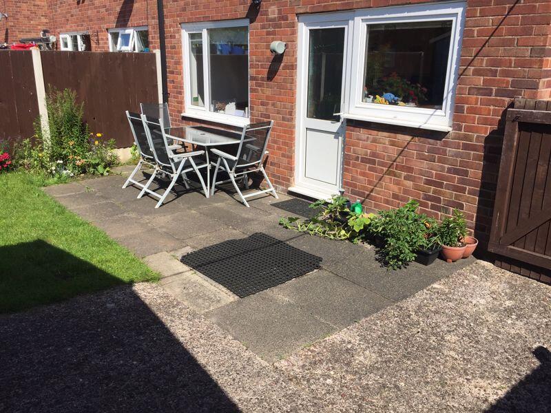
- SOUTH-FACING REAR GARDEN – PERFECT FOR OUTDOOR LIVING
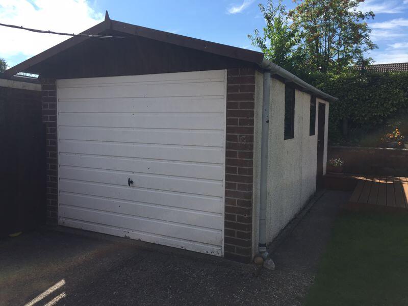
- GARAGE AND AMPLE OFF-ROAD PARKING
- WALKING DISTANCE TO HIGHLY REGARDED SCHOOLS AND LOCAL SHOPS
- EXCELLENT COMMUTER LINKS WITH EASY ACCESS TO M6 (J17 & J18)
Additional details
- Parking
- Yes
- Garden
- Yes
Description
Listed by
Congleton
Timothy A Brown Ltd
Reference: 174244766
EPC Rating & Upgrade Cost
Fetching EPC data… Refresh this page in a moment.
Flood risk
Zone: 1
Risk: Low
Job (default Low)
EPC Graphs

Energy Performance Certificate
Rental Range
Estimated market rent for Cheshire East. Low = conservative, Realistic = average, Optimistic = best case.
Based on Local Authority from postcode lookup → Cheshire East.
LHA (30th percentile) floor for Oldham & Rochdale: £693/mo (Apr 2025 – Mar 2026)
Location
Nearby
Nearest stations, universities and amenities (distance from property).
| Type | Name | Distance |
|---|---|---|
| Bus stop | West Heath, Cumberland Road / Grosvenor Road | 0.1 miles |
| Shop | Constantinos | 0.2 miles |
| Shop | Bargain Booze | 0.2 miles |
| Hospital | Congleton War Memorial Hospital | 1.6 miles |
| Train station | Congleton | 2.0 miles |
| Train station | Holmes Chapel | 5.2 miles |
| Hospital | John Munroe Hospital | 7.1 miles |
| University | University of Buckingham Crewe Campus | 9.2 miles |
| University | Buxton & Leek College | 9.8 miles |
Street-level crime
| Category | Count |
|---|---|
| Violence and sexual offences | 42 |
| Shoplifting | 7 |
| Public order | 6 |
| Other crime | 3 |
| Burglary | 2 |
| Criminal damage and arson | 2 |
| Drugs | 2 |
| Vehicle crime | 2 |
| Anti-social behaviour | 1 |
| Bicycle theft | 1 |
| Total incidents | 68 |
Within 1 mile during Apr 2026. Source: data.police.uk (England & Wales).
Schools nearby
Nearest open schools with Ofsted ratings (England). Closed schools are not shown. Data from Get Information about Schools and Ofsted.
| Name | Type | Distance | Ofsted |
|---|---|---|---|
| Black Firs Primary School | Primary | 0.3 miles | Good — 27 Nov 2013 |
| The Quinta Primary School | Primary | 0.4 miles | Good — 12 Sep 2023 |
| Congleton High School | Secondary | 0.5 miles | Good — 15 Jan 2015 |
| Aidenswood School | Other | 0.7 miles | Good — 24 Apr 2024 |
| Saint Mary's Catholic Primary School | Primary | 0.8 miles | Requires improvement — 1 Jul 2024 |
Rental Comparables
Residential lets from OpenRent and Rightmove for the area (same bedroom count). Use to validate rent estimates. Student lets are excluded.
| Title | Rent | Beds | Distance | As seen on |
|---|---|---|---|---|
| Burgess Place, Congleton, CW12 | £1,400/mo | 3 | 0.48 miles | Rightmove |
| Ormiston Way, Congleton | £1,495/mo | 3 | 0.49 miles | Rightmove |
| Loachbrook Farm Way, Congleton, CW12 | £1,300/mo | 3 | 0.72 miles | Rightmove |
| Dobson Way, Congleton, CW12 | £2,200/mo | 3 | 1.47 miles | Rightmove |
| Canal Road, Congleton, CW12 | £1,300/mo | 3 | 1.67 miles | Rightmove |
| Wallhill Lane, Brownlow, CW12 | £1,500/mo | 3 | 1.71 miles | Rightmove |
| Annan Close, Congleton | £1,300/mo | 3 | 1.9 miles | Rightmove |
| Moss Road, Astbury, CW12 | £1,500/mo | 3 | 1.97 miles | Rightmove |
| Boundary Lane, Congleton | £1,350/mo | 3 | 2.35 miles | Rightmove |
| Overton Road, Congleton, CW12 | £1,350/mo | 3 | 3.59 miles | Rightmove |
| Congleton, Staffordshire | £2,000/mo | 3 | 4.03 miles | Rightmove |
Average rent: £1,518/mo (11 listings)