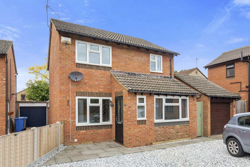
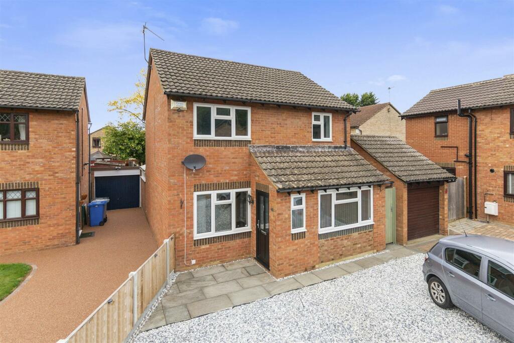
4 WALSINGHAM AVENUE
KETTERING, NORTH NORTHAMPTONSHIRE NN15 5ER
£1,200 pcm
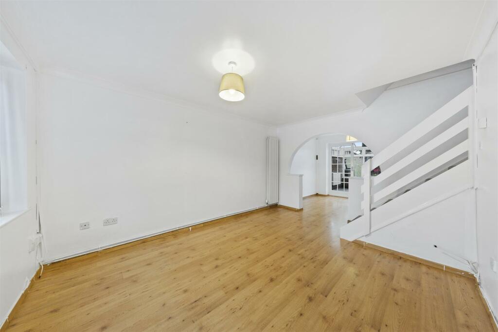
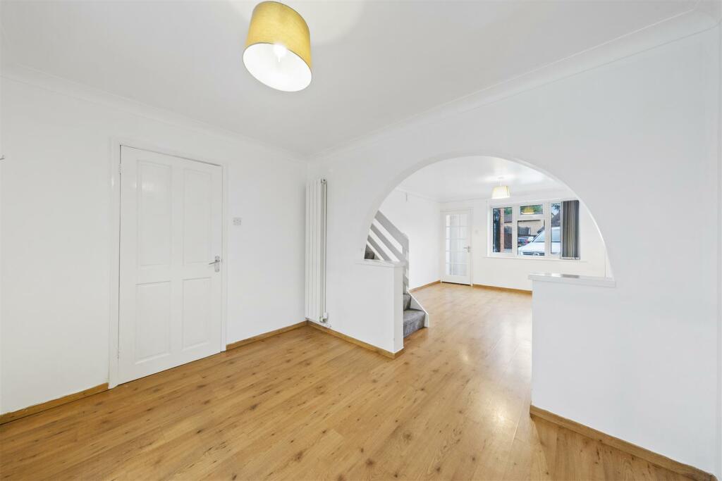
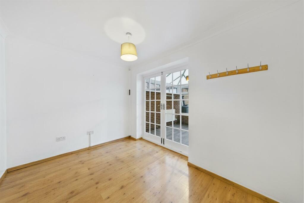


Property details
Floor area
107 m²
Council tax band
C
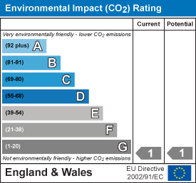
EPC rating
D
Deprivation
Decile 9 (29,353 of 33,755)
Street crime
101 incidents within 1 mile (Apr 2026)
Additional details
- Parking
- Yes
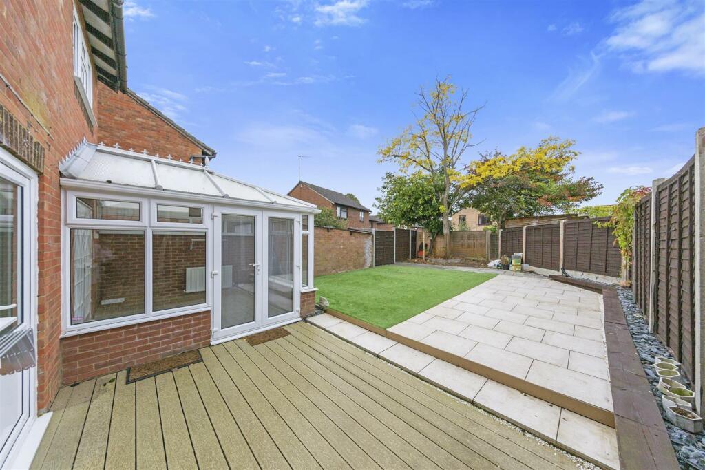
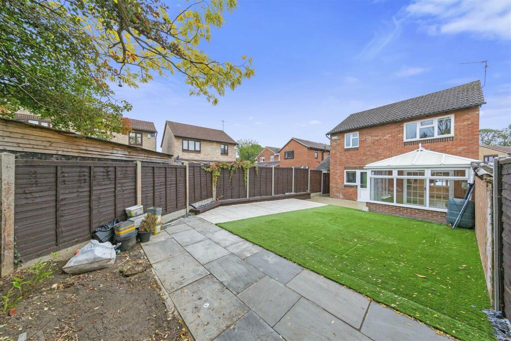
- Garden
- Yes
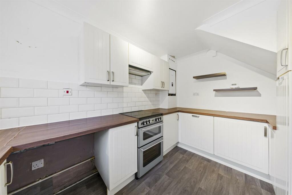
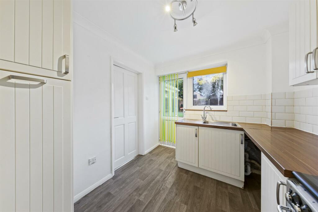
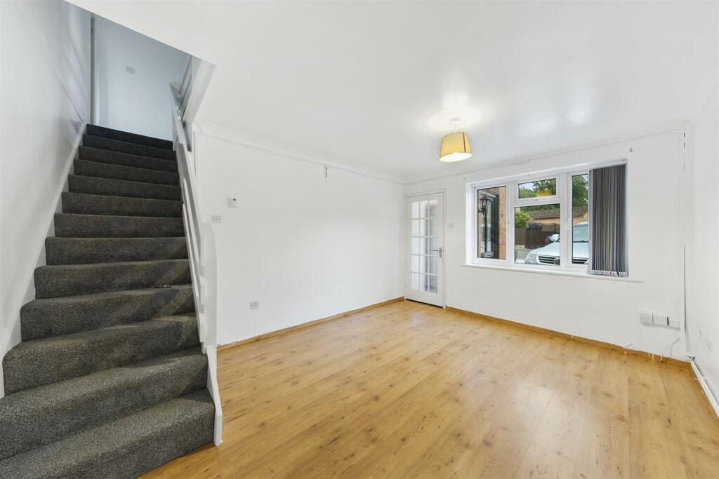
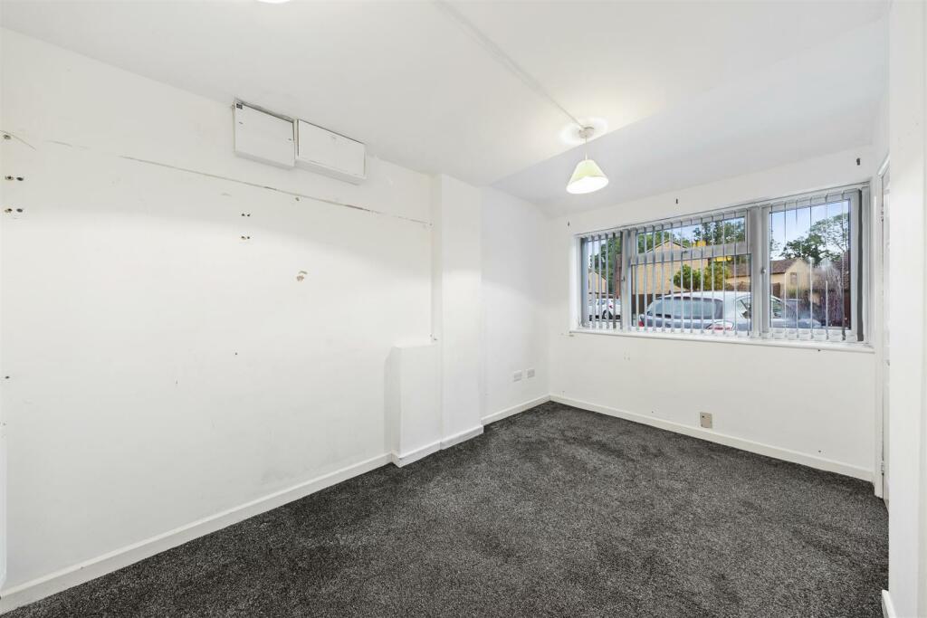
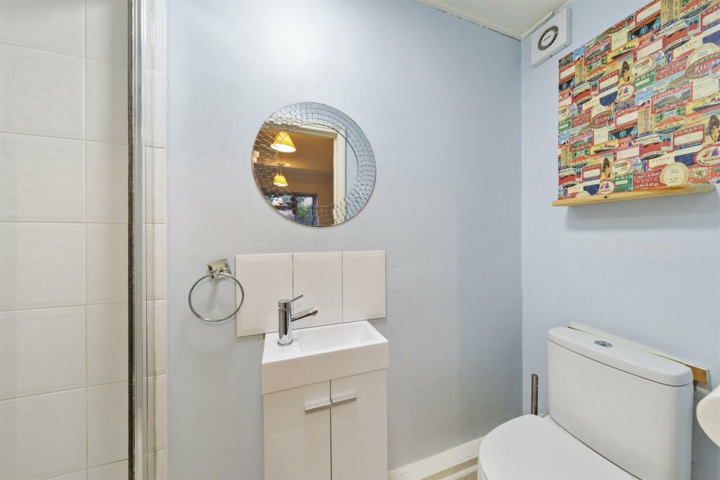
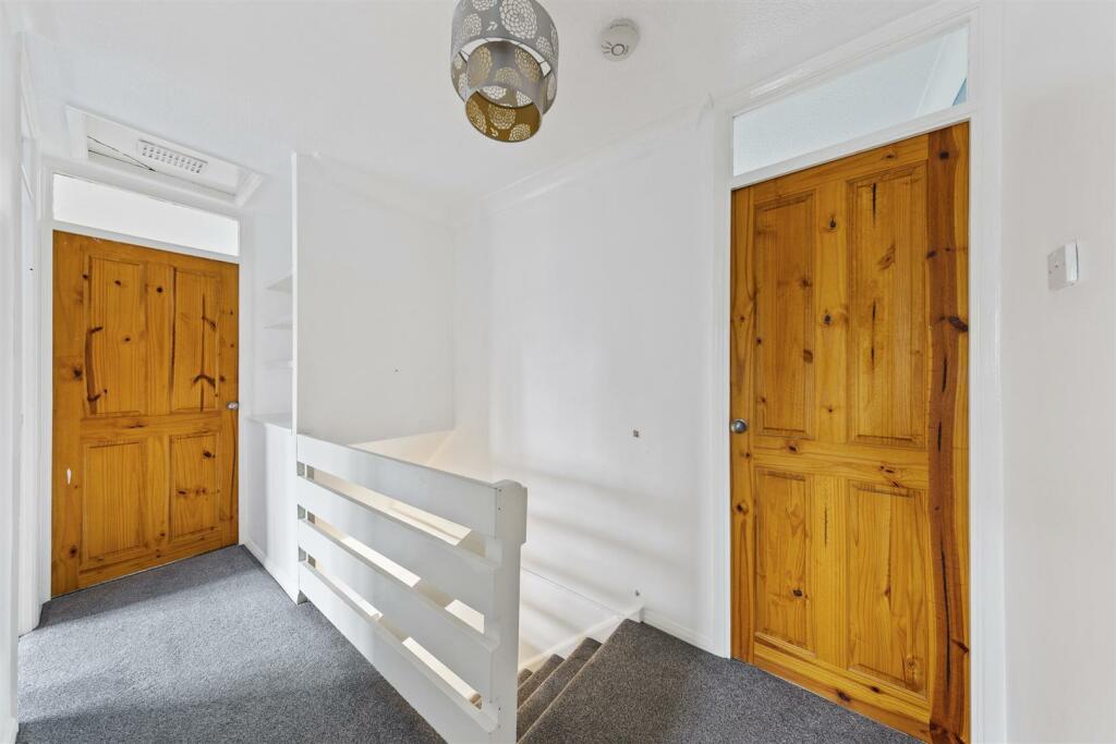
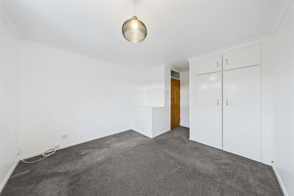
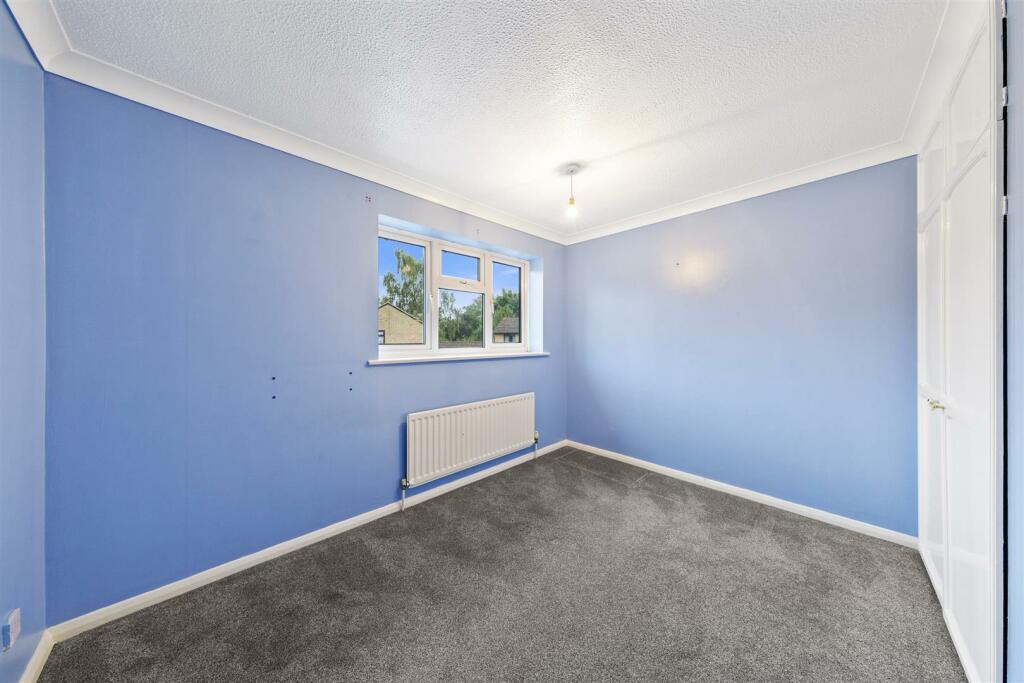
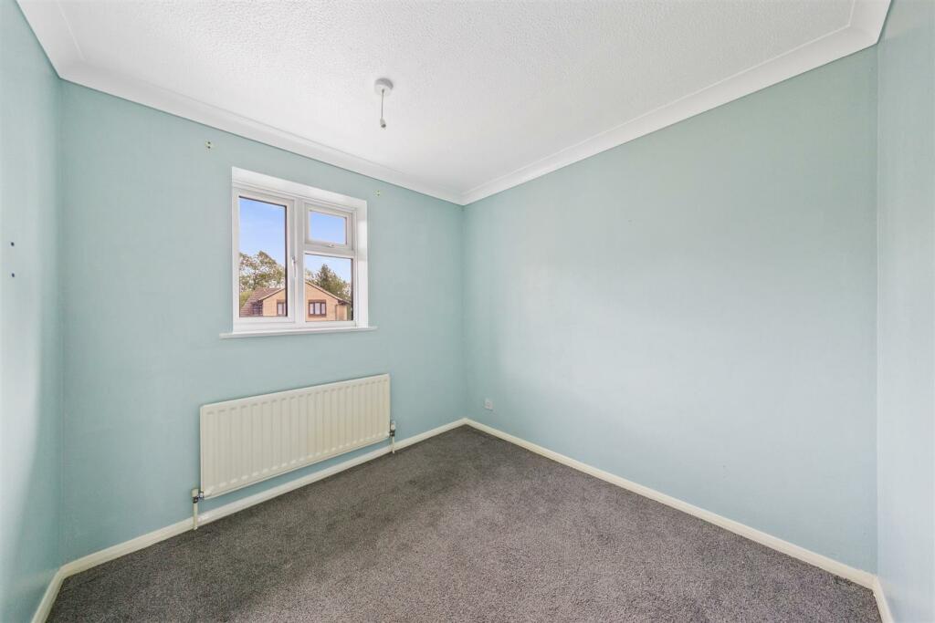
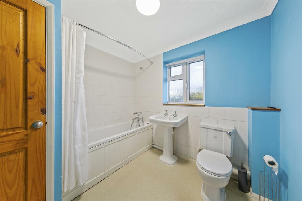
Description
Sorry pets are not accepted.
Listed by
Kettering
Simpson & Partners
Reference: 141437504
EPC Rating & Upgrade Cost
Current rating: D
Potential rating: B
Inspection date: 14/05/2025
Expiry date: 13/05/2035
Current heating cost: £979/year
Potential heating cost: £910/year
Est. upgrade cost to C: £14,535
Recommendations
- Floor insulation (solid floor) (£4,000 - £6,000)
- Low energy lighting for all fixed outlets (£35)
- Solar water heating (£4,000 - £6,000)
- Solar photovoltaic panels, 2.5 kWp (£3,500 - £5,500)
Flood risk
Zone: 1
Risk: Low
Job (default Low)
Floorplans
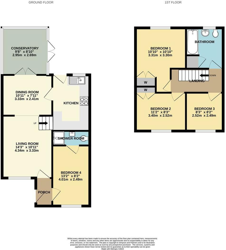
Floorplan.jpg
EPC Graphs

EE Rating
EI Rating
Rental Range
Estimated market rent for North Northamptonshire. Low = conservative, Realistic = average, Optimistic = best case.
Based on Local Authority from postcode lookup → North Northamptonshire.
LHA (30th percentile) floor for Northants Central: £992/mo (Apr 2025 – Mar 2026)
Location
Nearby
Nearest stations, universities and amenities (distance from property).
| Type | Name | Distance |
|---|---|---|
| Bus stop | Gleneagles Close (opp) | 0.1 miles |
| Bus stop | Barton Seagrave Hall (o/s) | 0.2 miles |
| Shop | Ise Lodge News | 0.3 miles |
| Shop | The Co-operative Food | 0.4 miles |
| Train station | Wicksteed Park | 0.5 miles |
| Hospital | St. Mary's Hospital | 1.1 miles |
| Train station | Kettering | 1.5 miles |
| Hospital | Prospect House | 1.7 miles |
Street-level crime
| Category | Count |
|---|---|
| Violence and sexual offences | 34 |
| Anti-social behaviour | 30 |
| Criminal damage and arson | 11 |
| Other theft | 7 |
| Vehicle crime | 6 |
| Public order | 5 |
| Burglary | 4 |
| Other crime | 2 |
| Possession of weapons | 1 |
| Shoplifting | 1 |
| Total incidents | 101 |
Within 1 mile during Apr 2026. Source: data.police.uk (England & Wales).
Schools nearby
Nearest open schools with Ofsted ratings (England). Closed schools are not shown. Data from Get Information about Schools and Ofsted.
| Name | Type | Distance | Ofsted |
|---|---|---|---|
| Millbrook Infant School | Primary | 0.2 miles | Good — 10 May 2022 |
| Millbrook Junior School | Primary | 0.3 miles | Good — 3 Jan 2018 |
| Kingsley Special Academy | Other | 0.4 miles | Outstanding — 1 Aug 2023 |
| Isebrook School | Other | 0.4 miles | Good — 6 Feb 2014 |
| St Edward's Catholic Primary School | Primary | 0.5 miles | Good — 19 Jan 2022 |
Rental Comparables
Residential lets from OpenRent and Rightmove for the area (same bedroom count). Use to validate rent estimates. Student lets are excluded.
| Title | Rent | Beds | Distance | As seen on |
|---|---|---|---|---|
| 4 Bed Detached House, Templar Road, NN15 | £1,600/mo | 4 | 0.42 miles | OpenRent |
| NN15, Jupiter Road, Barton Seagrave | £1,850/mo | 4 | 0.68 miles | Rightmove |
Average rent: £1,725/mo (2 listings)