213 PONTEFRACT ROAD
BARNSLEY, CUDWORTH, SOUTH YORKSHIRE S72 8AE
£433 pcm
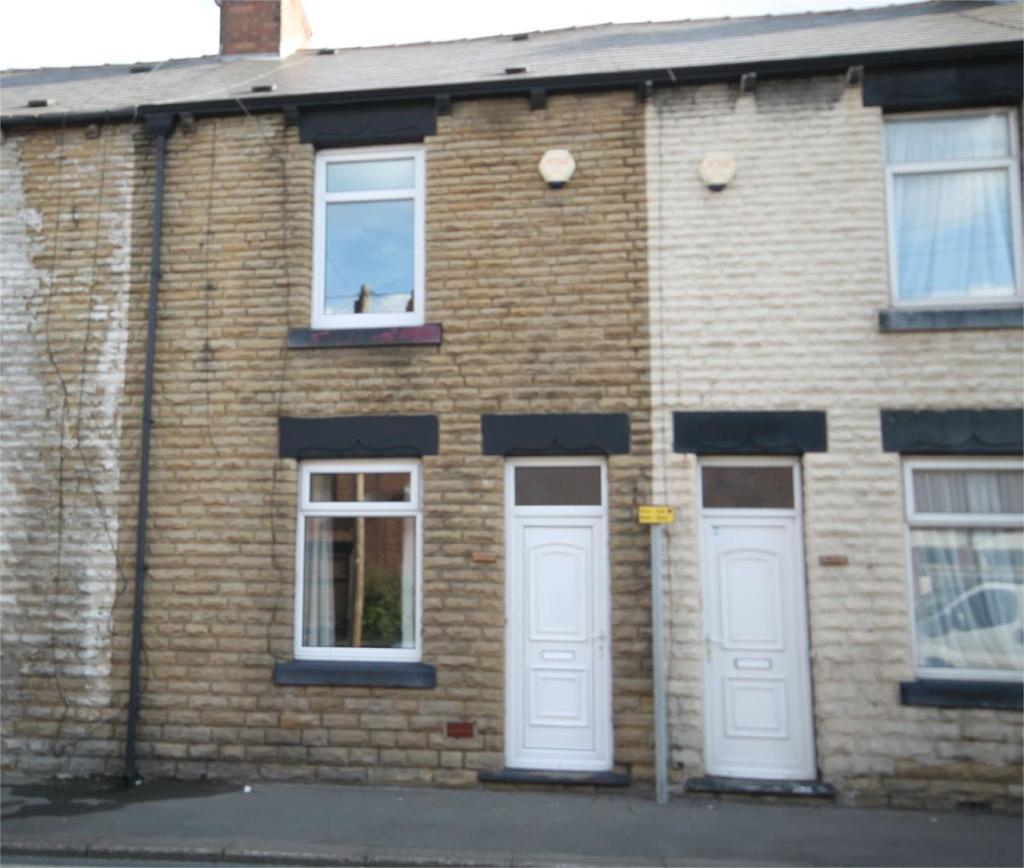
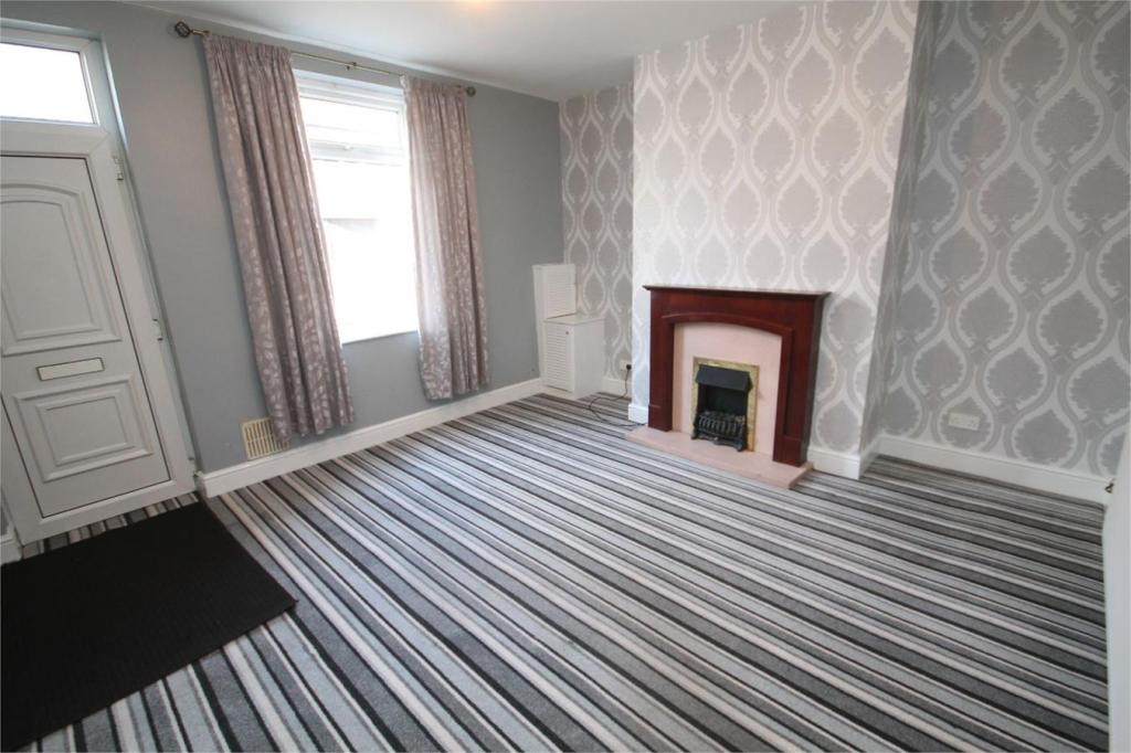
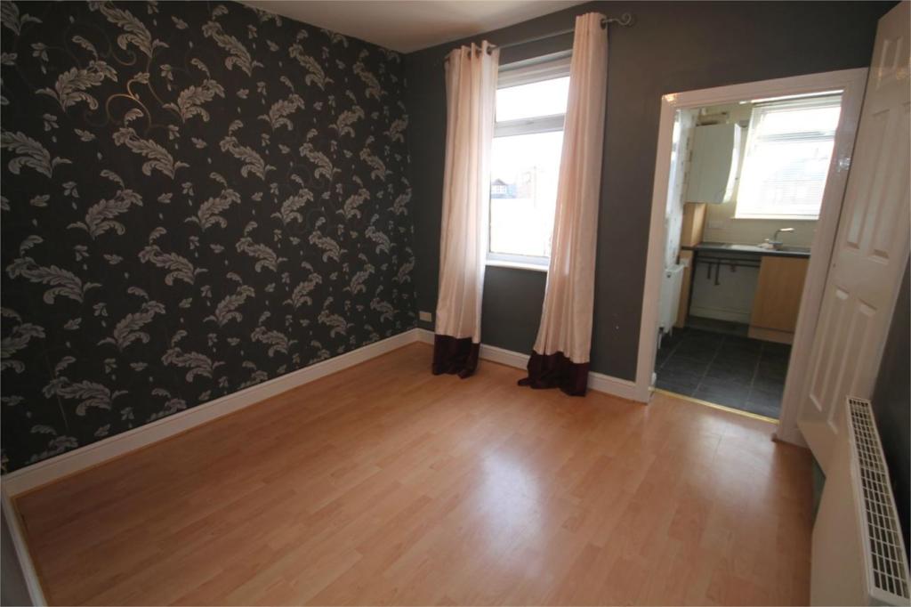
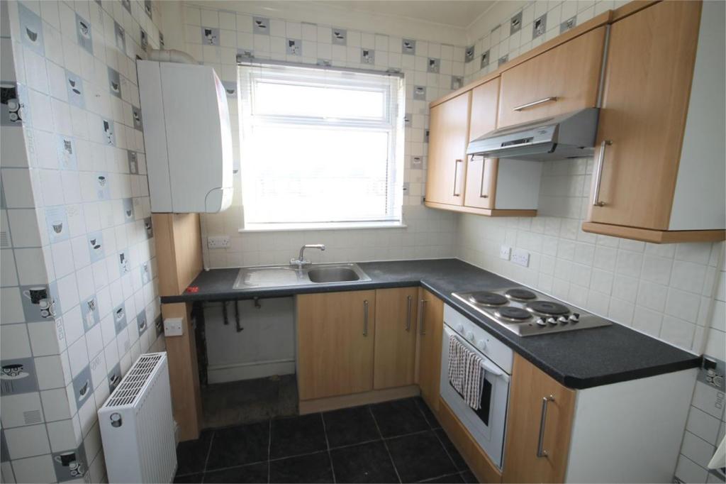
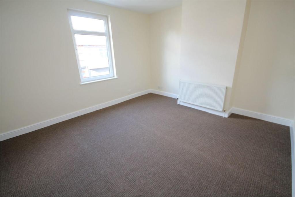
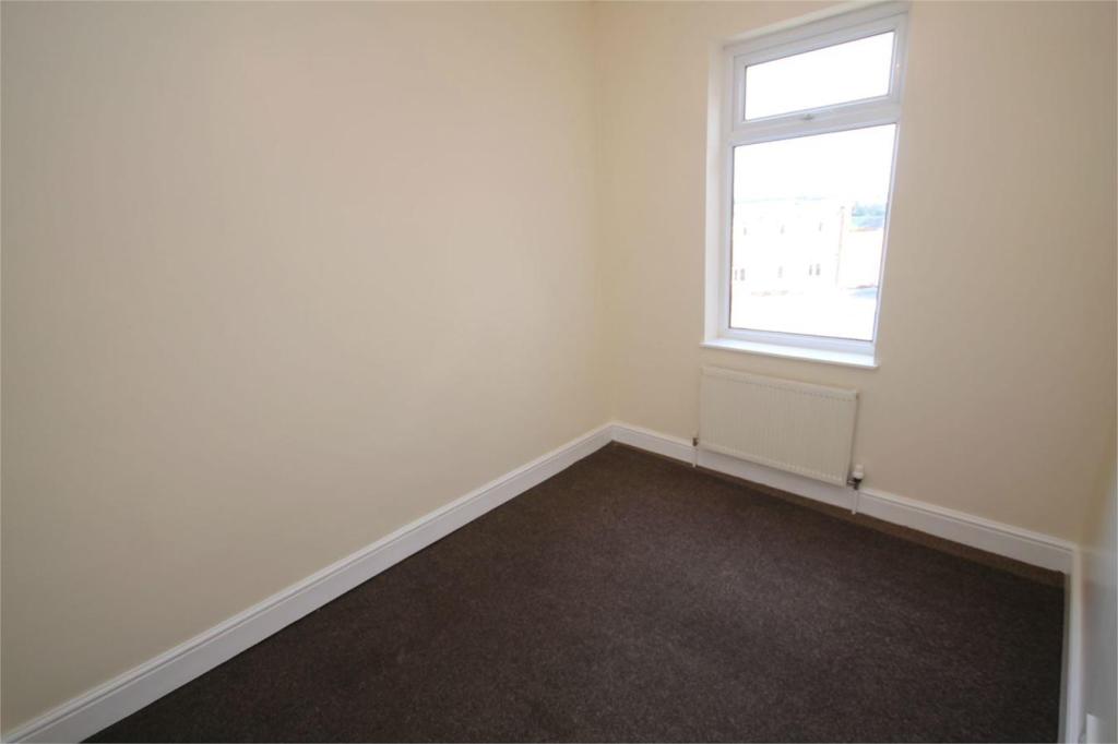
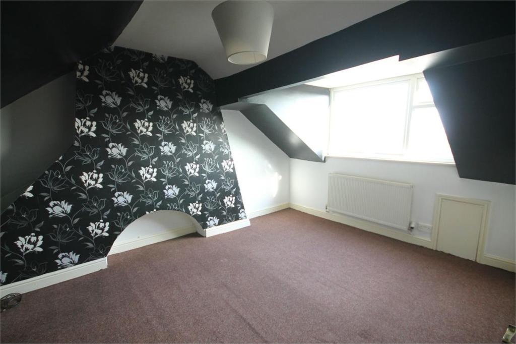
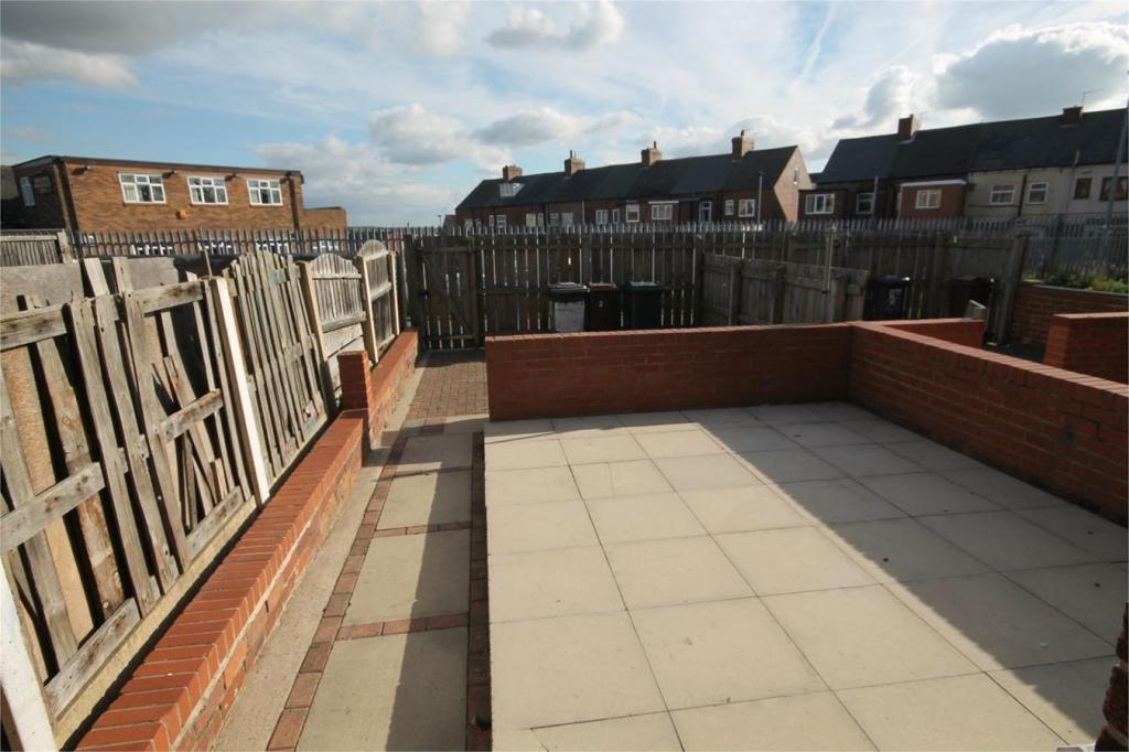
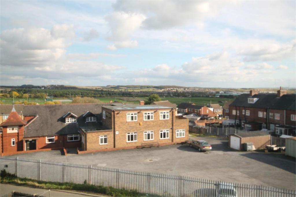
Photo 1 Photo 2 Photo 3 Photo 4 Photo 5 Photo 6 Photo 7 Photo 8 Photo 9
/ 9
Property details
Floor area
87 m²
EPC rating
E
Year built
England and Wales: 1900-1929
Deprivation
Decile 4 (10,816 of 33,755)
Street crime
98 incidents within 1 mile (Apr 2026)
Description
Property ref: 121_125_3964143
Listed by
Barnsley
The Property Franchise Group
Reference: 37087911
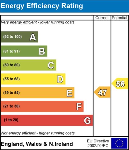
EPC Rating & Upgrade Cost
Current rating: E
Potential rating: C
Inspection date: 11/05/2018
Expiry date: 10/05/2028
Current heating cost: £1,026/year
Potential heating cost: £830/year
Recommendations
- 50 mm internal or external wall insulation (14,000)
- Floor insulation (suspended floor) (1,200)
- Replace boiler with new condensing boiler (3,000)
- Flue gas heat recovery in conjunction with boiler (900)
- Solar photovoltaic panels, 2.5 kWp (8,000)
Flood risk
Zone: 1
Risk: Low
Job (default Low)
EPC Graphs
EER
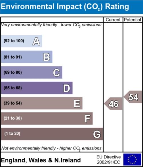
EIR
Rental Range
Estimated market rent for Yorkshire and The Humber. Low = conservative, Realistic = average, Optimistic = best case.
Based on Region from postcode lookup → Yorkshire and The Humber.
LHA (30th percentile) floor for Barnsley: £549/mo (Apr 2025 – Mar 2026)
Location
Nearby
Nearest stations, universities and amenities (distance from property).
| Type | Name | Distance |
|---|---|---|
| Bus stop | Pontefract Road/Albert Street | 0.1 miles |
| Bus stop | Pontefract Road/Montague Street | 0.1 miles |
| Shop | Fulton's Foods | 0.4 miles |
| Shop | Aldi | 0.4 miles |
| Hospital | Holgate Hospital | 2.1 miles |
| Hospital | Kendray Hospital | 3.2 miles |
| Train station | Barnsley Interchange | 3.4 miles |
| Train station | Fitzwilliam | 3.7 miles |
Street-level crime
| Category | Count |
|---|---|
| Violence and sexual offences | 29 |
| Anti-social behaviour | 23 |
| Vehicle crime | 9 |
| Criminal damage and arson | 7 |
| Other theft | 7 |
| Public order | 7 |
| Burglary | 6 |
| Other crime | 3 |
| Shoplifting | 3 |
| Drugs | 1 |
| Possession of weapons | 1 |
| Robbery | 1 |
| Theft from the person | 1 |
| Total incidents | 98 |
Within 1 mile during Apr 2026. Source: data.police.uk (England & Wales).
Schools nearby
Nearest open schools with Ofsted ratings (England). Closed schools are not shown. Data from Get Information about Schools and Ofsted.
| Name | Type | Distance | Ofsted |
|---|---|---|---|
| Cherry Dale Primary School | Primary | 0.1 miles | Outstanding — 4 Dec 2014 |
| Outwood Academy Shafton | Secondary | 0.4 miles | Good — 16 Feb 2018 |
| Churchfield Primary School | Primary | 0.5 miles | Good — 16 Jul 2024 |
| Shafton Primary Academy | Primary | 0.6 miles | Good — 10 Dec 2015 |
| Birkwood Primary School | Primary | 1.1 miles | — (Inspected (no overall grade)) |
Rental Comparables
Residential lets from OpenRent and Rightmove for the area (same bedroom count). Use to validate rent estimates. Student lets are excluded.
| Title | Rent | Beds | Distance | As seen on |
|---|---|---|---|---|
| 3 Bed Terraced House, Scholars Gate, S72 | £1,000/mo | 3 | 0.02 miles | OpenRent |
| 3 Bed Semi-Detached House, Kings Road, S72 | £850/mo | 3 | 0.17 miles | OpenRent |
| 3 Bed Semi-Detached House, Intake Lane, S72 | £895/mo | 3 | 0.21 miles | OpenRent |
| 3 Bed Terraced House, Church Street, S72 | £850/mo | 3 | 0.59 miles | OpenRent |
| 3 Bed Terraced House, St. Johns Road, S72 | £825/mo | 3 | 0.62 miles | OpenRent |
| 3 Bed Detached House, Bellcross Way, S71 | £1,175/mo | 3 | 1.16 miles | OpenRent |
Average rent: £933/mo (6 listings)