4 EDEN GROVE
CREWE, HOLMES CHAPEL, CHESHIRE EAST CW4 8FP
£1,500 pcm
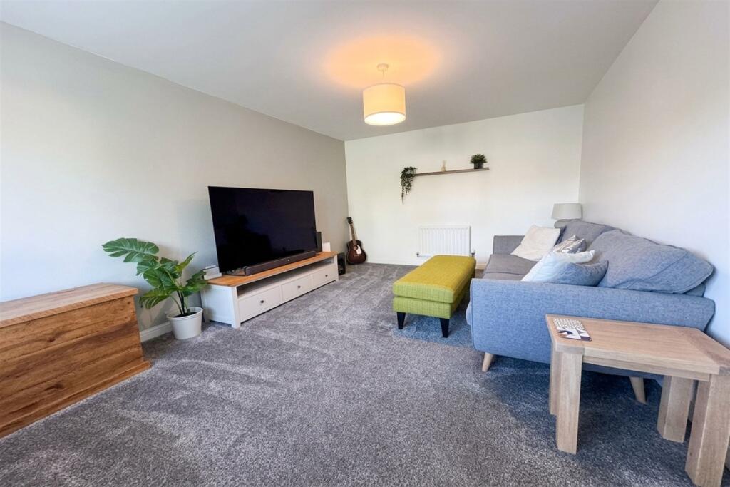
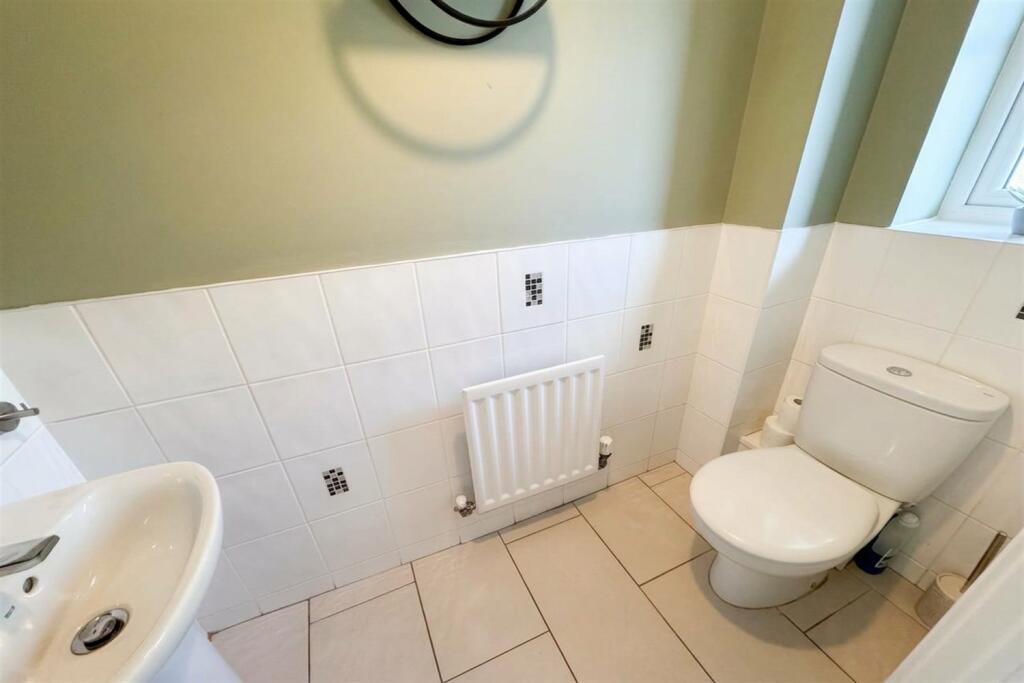
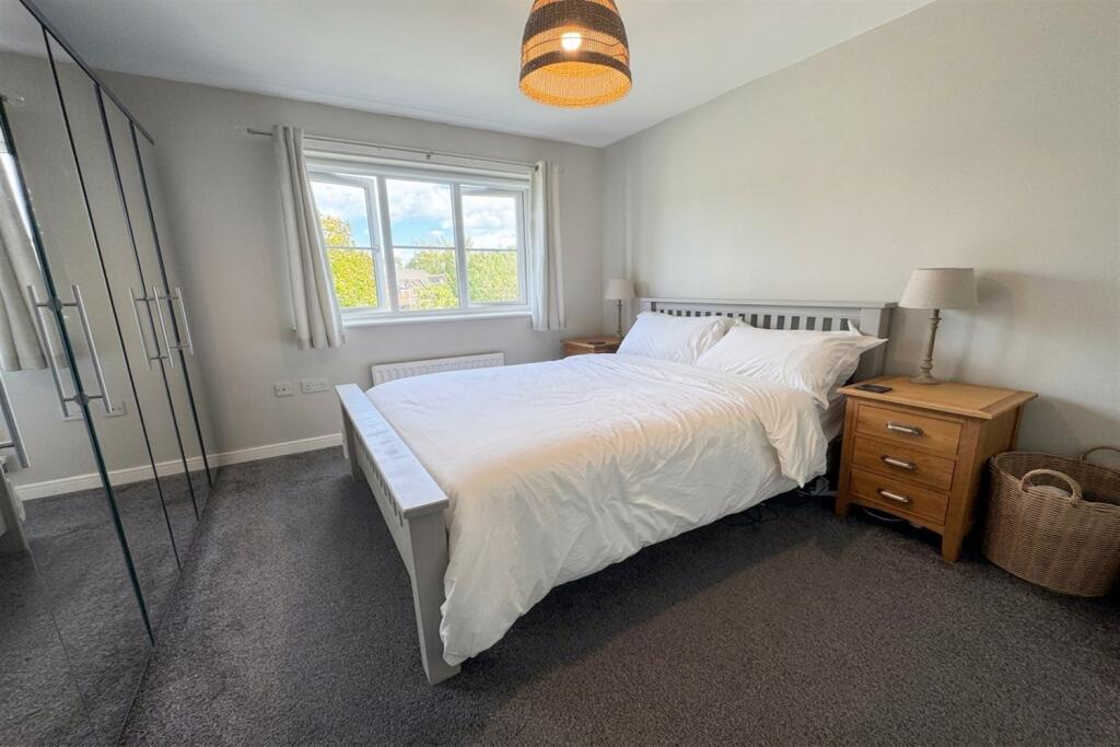
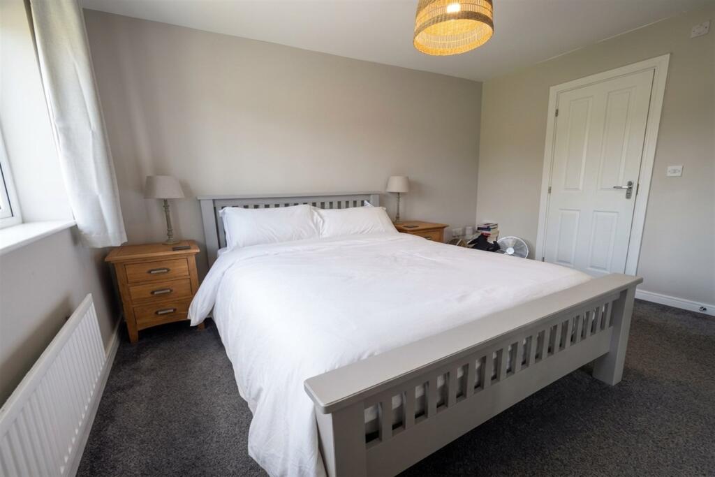
Property details
Council tax band
E
Deprivation
Decile 9 (30,022 of 33,755)
Street crime
23 incidents within 1 mile (Aug 2026)
Key features
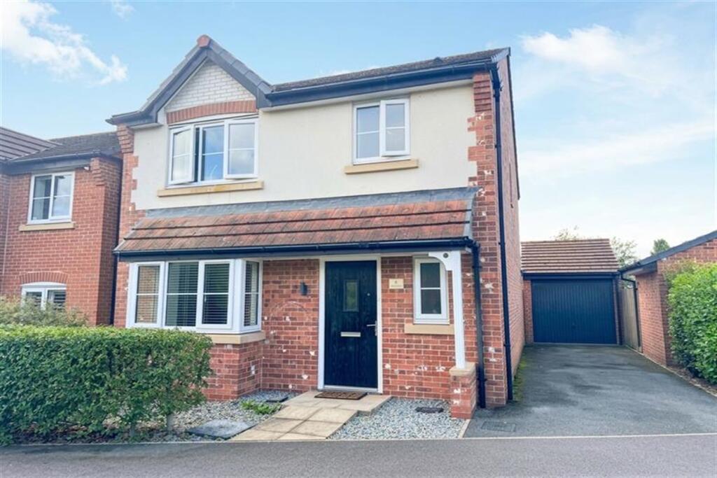
- Detached
- Driveway
- Single garage
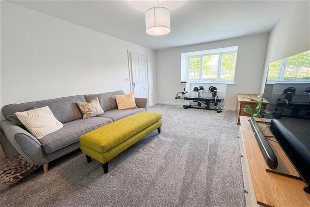
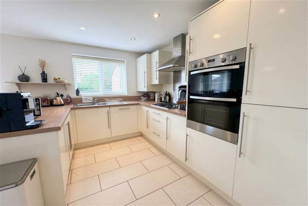
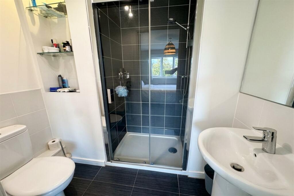
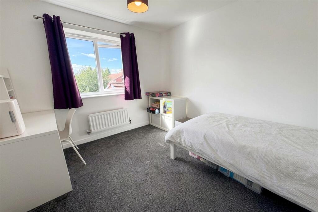
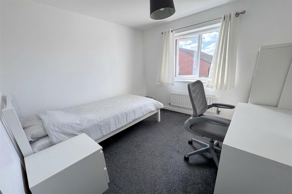
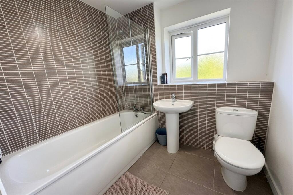
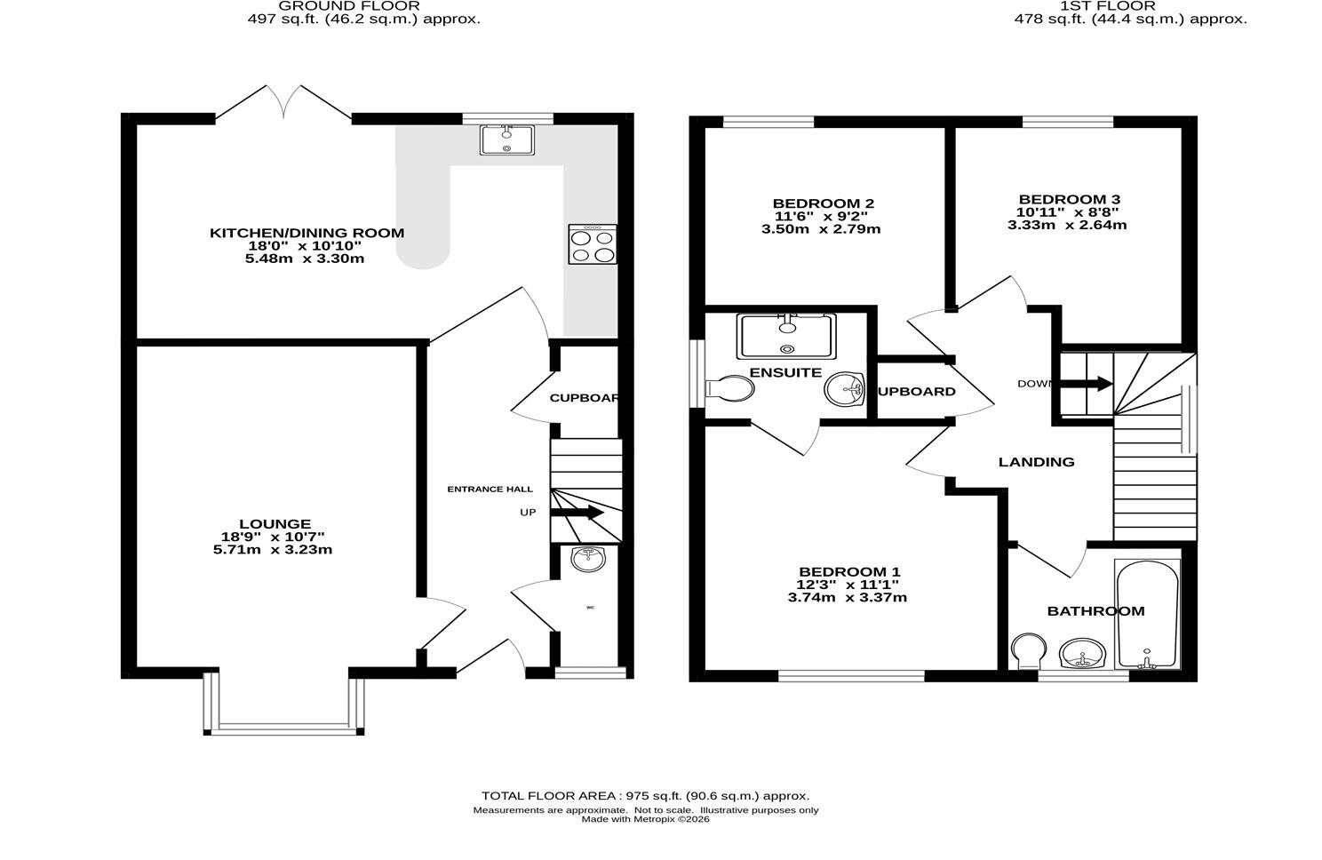
- Three bedrooms, two bathrooms and ground floor WC
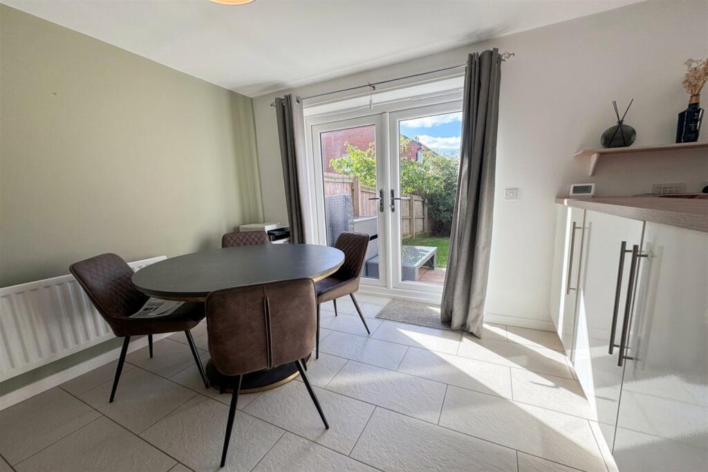
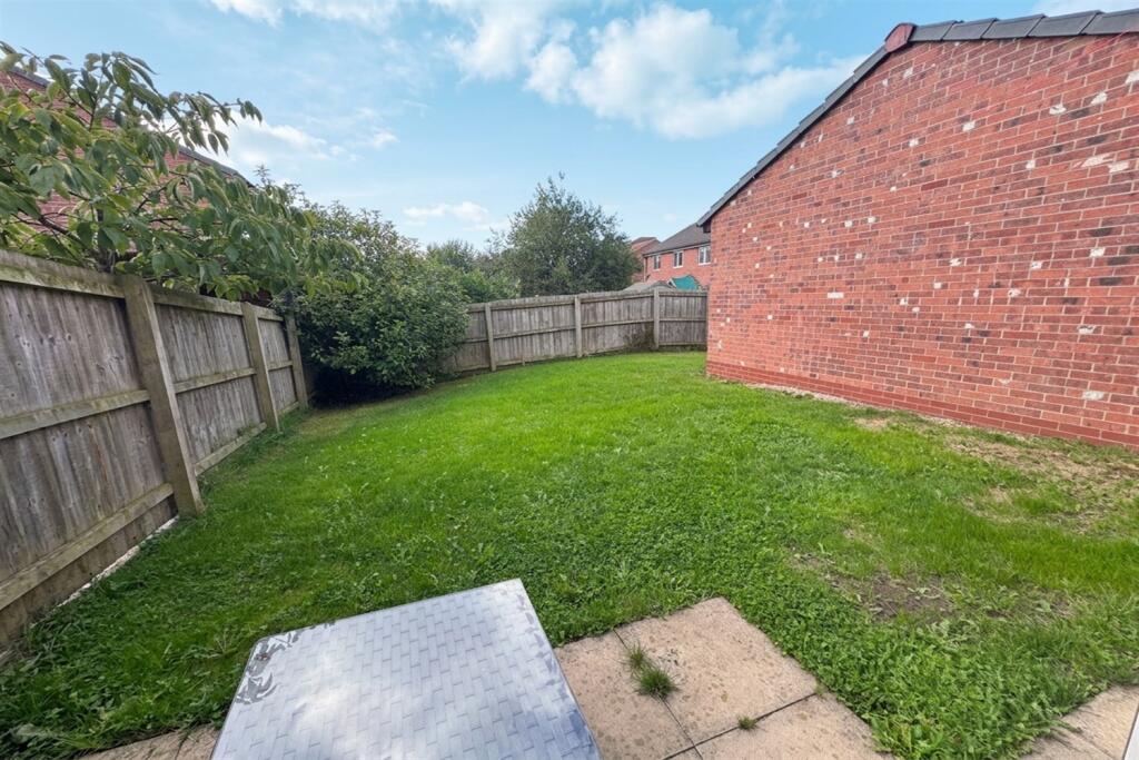
- South facing rear garden
Additional details
- Electricity
- Mains supply
- Water
- Mains supply
- Sewerage
- Mains supply
- Heating
- Gas
- Parking
- Yes
- Garden
- Yes
Description
DESCRIPTION
Listed by
Knutsford
Gascoigne Halman - Connells
Reference: 93520554
Flood risk
Zone: 1
Risk: Low
Job (default Low)
Registered land (INSPIRE)
This location falls inside an HM Land Registry INSPIRE registered freehold polygon.
Plot: ~195 m² (0.05 acres)
Source: HM Land Registry INSPIRE Index Polygons.
Floorplans
Other
EPC Graphs

EPC Graph
Rental Range
Estimated market rent for Cheshire East. Low = conservative, Realistic = average, Optimistic = best case.
Based on Local Authority from postcode lookup → Cheshire East.
LHA (30th percentile) floor for South Cheshire: £678/mo (Apr 2025 – Mar 2026)
Location
Nearby
Nearest stations, universities and amenities (distance from property).
| Type | Name | Distance |
|---|---|---|
| Bus stop | Holmes Chapel, Marsh Lane / Brooklands | 0.1 miles |
| Bus stop | Holmes Chapel, Manor Lane / Thatch Close | 0.1 miles |
| Shop | Face & Figure | 0.2 miles |
| Shop | Correction and Detail | 0.3 miles |
| Train station | Holmes Chapel | 0.3 miles |
| Train station | Goostrey | 2.0 miles |
| University | University of Buckingham Crewe Campus | 7.7 miles |
| Hospital | Rosemount Resource Centre | 9.4 miles |
| Hospital | Haywood Hospital Walk-in Centre | 11.6 miles |
Street-level crime
| Category | Count |
|---|---|
| Violence and sexual offences | 9 |
| Anti-social behaviour | 7 |
| Burglary | 3 |
| Criminal damage and arson | 1 |
| Other crime | 1 |
| Possession of weapons | 1 |
| Vehicle crime | 1 |
| Total incidents | 23 |
Within 1 mile during Aug 2026. Source: data.police.uk (England & Wales).
Schools nearby
Nearest open schools with Ofsted ratings (England). Closed schools are not shown. Data from Get Information about Schools and Ofsted.
| Name | Type | Distance | Ofsted |
|---|---|---|---|
| Hermitage Primary School | Primary | 0.6 miles | Good — 20 Nov 2023 |
| Holmes Chapel Primary School | Primary | 0.7 miles | Outstanding — 17 Jul 2015 |
| Holmes Chapel Comprehensive School | Secondary | 0.9 miles | Good — 10 Mar 2020 |
| Brereton CofE Primary School | Primary | 1.6 miles | Good — 19 Jan 2018 |
| Goostrey Community Primary School | Primary | 2.1 miles | Good — 16 Mar 2022 |
Rental Comparables
Residential lets from OpenRent and Rightmove for the area (same bedroom count). Use to validate rent estimates. Student lets are excluded.
| Title | Rent | Beds | Distance | As seen on |
|---|---|---|---|---|
| Eden Grove, Holmes Chapel | £1,500/mo | 3 | 0 miles | Rightmove |
| 3 Bed Semi-Detached House, Ribble Close, CW4 | £1,600/mo | 3 | 0.06 miles | OpenRent |
| Station Road, Holmes Chapel | £1,600/mo | 3 | 0.22 miles | Rightmove |
| Forty Acre Lane, Kermincham | £1,750/mo | 3 | 2.71 miles | Rightmove |
Average rent: £1,613/mo (4 listings)