141A
ST JAMES ROAD, SOUTHAMPTON, SOUTHAMPTON, SOUTHAMPTON SO15 5QF
£725 pcm
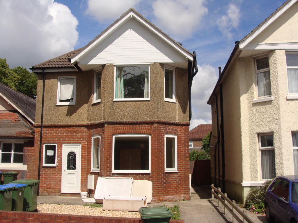
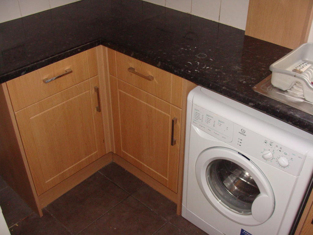
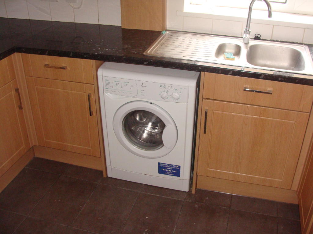
Photo 1 Photo 2 Photo 3 Photo 4 Photo 5 Photo 6
/ 6
Property details
Deprivation
Decile 5 (15,442 of 33,755)
Street crime
500 incidents within 1 mile (Apr 2026)
Key features
- Available Now
- Central Heating
- Double Glazed
- Garden
- Laminate Flooring
- Lounge
- Washing Machine
- White Goods
Additional details
- Garden
- Yes
Description
Please contact Kings Estates for further details on 02380 55 33 55.
Listed by
Southampton
Kings Estates
Reference: 45290335
EPC Rating & Upgrade Cost
Fetching EPC data… Refresh this page in a moment.
Flood risk
Zone: 1
Risk: Low
Job (default Low)
Rental Range
Estimated market rent for Southampton. Low = conservative, Realistic = average, Optimistic = best case.
Based on Local Authority from postcode lookup → Southampton.
LHA (30th percentile) floor for Cherwell Valley: £947/mo (Apr 2025 – Mar 2026)
Location
Nearby
Nearest stations, universities and amenities (distance from property).
| Type | Name | Distance |
|---|---|---|
| Bus stop | Shirley Avenue | 0.1 miles |
| Shop | The DJ Shop | 0.3 miles |
| Shop | Jak Booze | 0.3 miles |
| University | South Academic Block | 0.6 miles |
| Train station | Millbrook | 1.0 miles |
| University | Boldrewood Innovation Campus | 1.3 miles |
| Train station | Southampton Central | 1.4 miles |
| Hospital | Royal South Hants Urgent Treatment Centre | 1.6 miles |
Street-level crime
| Category | Count |
|---|---|
| Violence and sexual offences | 174 |
| Shoplifting | 66 |
| Anti-social behaviour | 54 |
| Public order | 43 |
| Criminal damage and arson | 35 |
| Other theft | 34 |
| Burglary | 20 |
| Vehicle crime | 19 |
| Drugs | 16 |
| Other crime | 11 |
| Robbery | 10 |
| Possession of weapons | 9 |
| Bicycle theft | 5 |
| Theft from the person | 4 |
| Total incidents | 500 |
Within 1 mile during Apr 2026. Source: data.police.uk (England & Wales).
Schools nearby
Nearest open schools with Ofsted ratings (England). Closed schools are not shown. Data from Get Information about Schools and Ofsted.
| Name | Type | Distance | Ofsted |
|---|---|---|---|
| Wordsworth Primary and Nursery School | Primary | 0.2 miles | Requires improvement — 23 May 2023 |
| Shirley Infant School | Primary | 0.2 miles | Good — 8 Jun 2011 |
| Shirley Junior School | Primary | 0.2 miles | Good — 7 Jul 2017 |
| Upper Shirley High School | Secondary | 0.4 miles | Good — 13 Nov 2019 |
| Southampton Hospital School | Other | 0.5 miles | Good — 4 Jan 2012 |
Rental Comparables
Residential lets from OpenRent and Rightmove for the area (same bedroom count). Use to validate rent estimates. Student lets are excluded.
| Title | Rent | Beds | Distance | As seen on |
|---|---|---|---|---|
| 2 Bed Flat, Waterhouse Way, SO15 | £2,770/mo | 2 | 0.63 miles | OpenRent |
Average rent: £2,770/mo (1 listing)