9 GOLDENHILL ROAD
STOKE-ON-TRENT, STOKE-ON-TRENT, STOKE-ON-TRENT ST4 3DL
£650 pcm
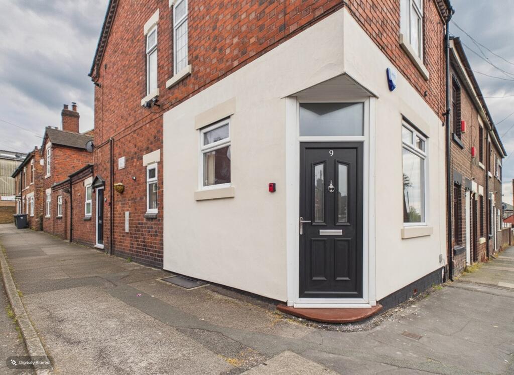
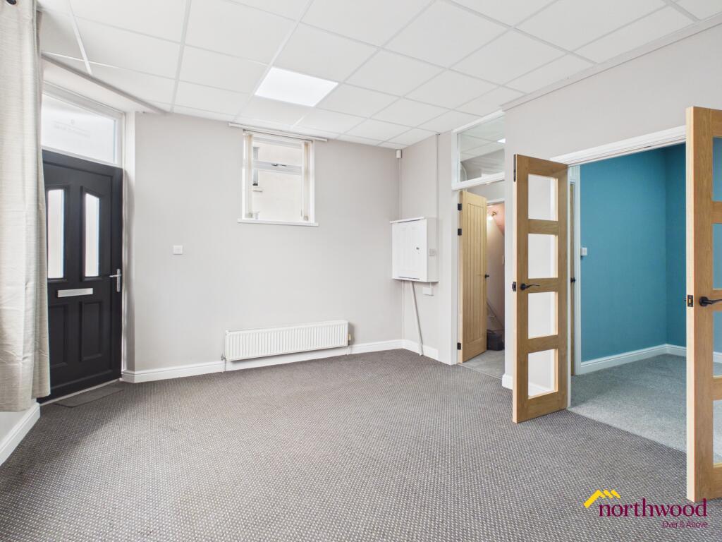
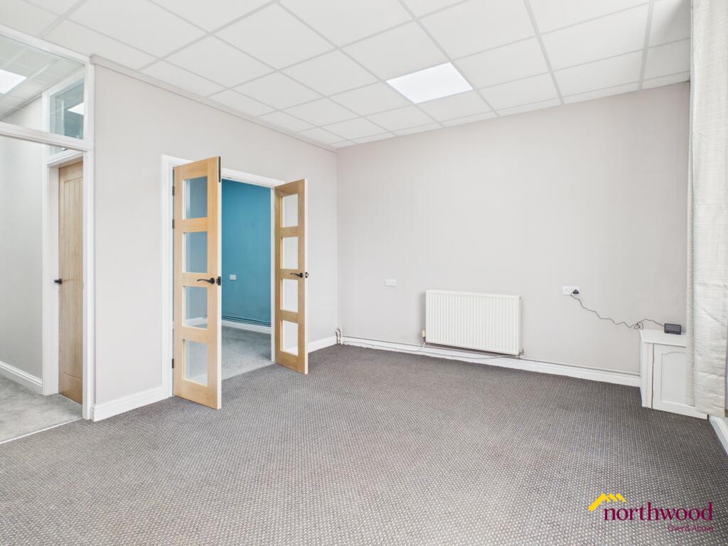
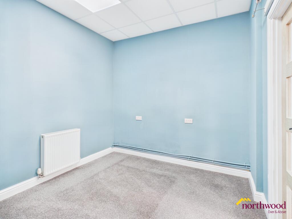
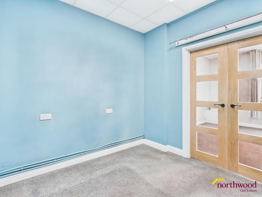
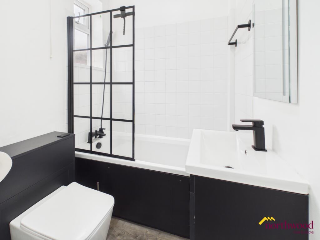
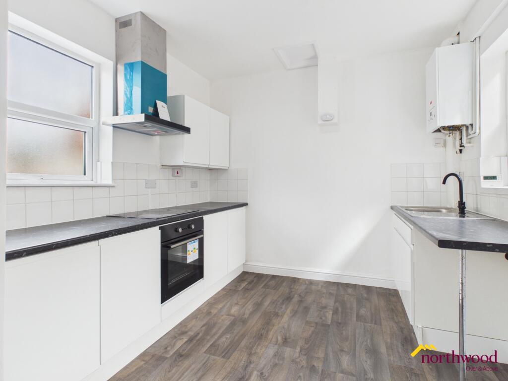
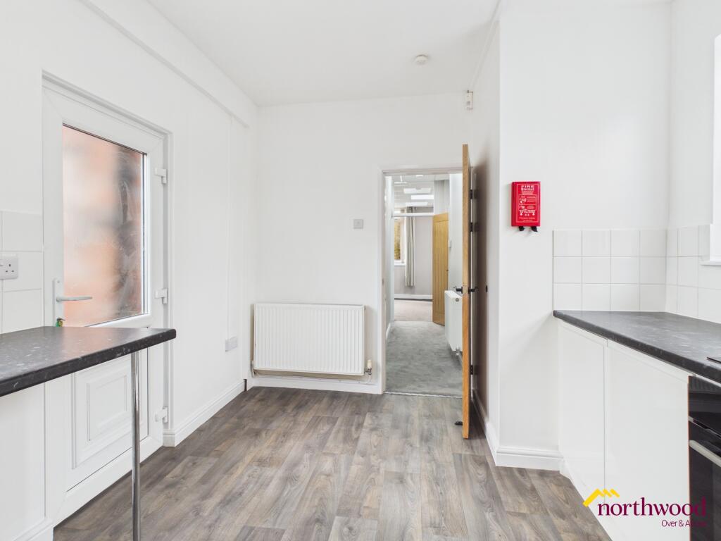
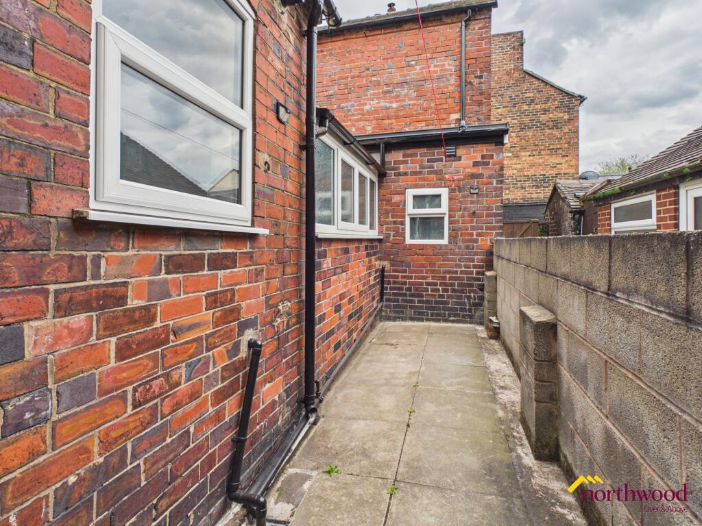
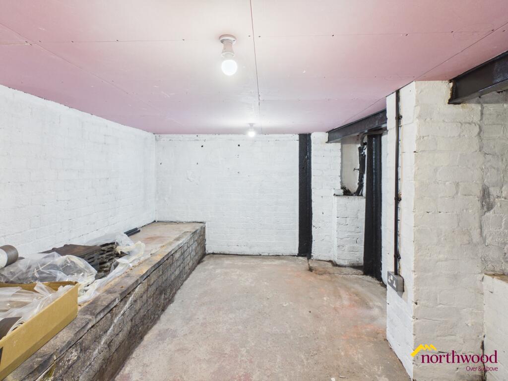
Photo 1 Photo 2 Photo 3 Photo 4 Photo 5 Photo 6 Photo 7 Photo 8 Photo 9 Photo 10
/ 10
Property details
Floor area
40 m²
Deprivation
Decile 2 (5,489 of 33,755)
Street crime
338 incidents within 1 mile (Apr 2026)
Additional details
- Parking
- On street
- Garden
- Private garden
Description
Property also benefits from a cellar for added storage.
Local area
Located in Fenton, Staffordshire, this flat enjoys a position within a well-connected neighbourhood. The locality offers access to a range of amenities, services, and transport links, supporting a variety of lifestyles and requirements. Fenton is recognised for its community atmosphere and provides convenient access to surrounding areas within Staffordshire. EPC rating: D.
Listed by
Stoke-on-Trent
The Property Franchise Group
Reference: 88430736
EPC Rating & Upgrade Cost
Fetching EPC data… Refresh this page in a moment.
Flood risk
Zone: 1
Risk: Low
Job (default Low)
Rental Range
Estimated market rent for Stoke-on-Trent. Low = conservative, Realistic = average, Optimistic = best case.
Based on Local Authority from postcode lookup → Stoke-on-Trent.
LHA (30th percentile) floor for Staffordshire North: £424/mo (Apr 2025 – Mar 2026)
Location
Nearby
Nearest stations, universities and amenities (distance from property).
| Type | Name | Distance |
|---|---|---|
| Train station | Longton | 0.2 miles |
| Shop | Wrights Pies | 0.3 miles |
| Shop | R A B Fabrics | 0.3 miles |
| Bus stop | Unknown | 0.3 miles |
| Bus stop | St James' Church | 0.7 miles |
| Train station | Stoke-on-Trent | 2.0 miles |
| Hospital | Royal Stoke University Hospital | 3.2 miles |
| Hospital | North Staffordshire Nuffield Hospital | 3.5 miles |
| University | Keele University | 5.5 miles |
| University | Buxton & Leek College | 9.3 miles |
Street-level crime
| Category | Count |
|---|---|
| Violence and sexual offences | 120 |
| Anti-social behaviour | 53 |
| Shoplifting | 35 |
| Public order | 26 |
| Vehicle crime | 21 |
| Criminal damage and arson | 20 |
| Other theft | 18 |
| Other crime | 13 |
| Drugs | 10 |
| Burglary | 8 |
| Robbery | 7 |
| Possession of weapons | 3 |
| Bicycle theft | 2 |
| Theft from the person | 2 |
| Total incidents | 338 |
Within 1 mile during Apr 2026. Source: data.police.uk (England & Wales).
Schools nearby
Nearest open schools with Ofsted ratings (England). Closed schools are not shown. Data from Get Information about Schools and Ofsted.
| Name | Type | Distance | Ofsted |
|---|---|---|---|
| Co-Op Academy Clarice Cliff | Primary | 0.2 miles | Requires improvement — 18 Jan 2024 |
| Gladstone Primary Academy | Primary | 0.5 miles | Good — 18 Apr 2013 |
| St Thomas More Catholic Academy | Secondary | 0.5 miles | Good — 8 Jun 2017 |
| Sandford Hill Primary School | Primary | 0.6 miles | Good — 15 Nov 2023 |
| St Gregory's Catholic Academy | Primary | 0.7 miles | Outstanding — 12 Jan 2017 |
Rental Comparables
Residential lets from OpenRent and Rightmove for the area (same bedroom count). Use to validate rent estimates. Student lets are excluded.
Average rent: £620/mo (45 listings)