33 BRIDLE LANE
SUTTON COLDFIELD, SUTTON COLDFIELD, WEST MIDLANDS B74 3QE
£675 pcm
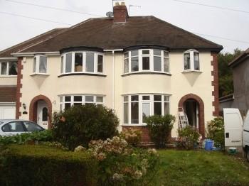
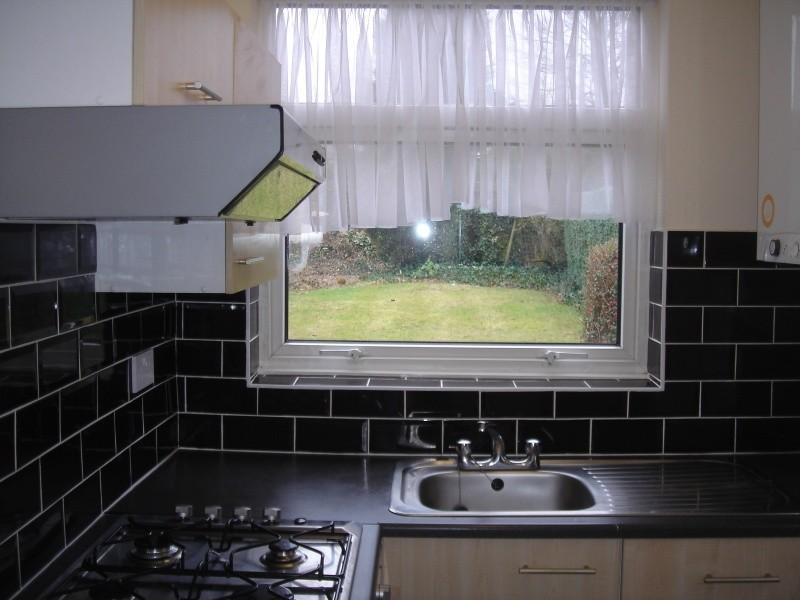
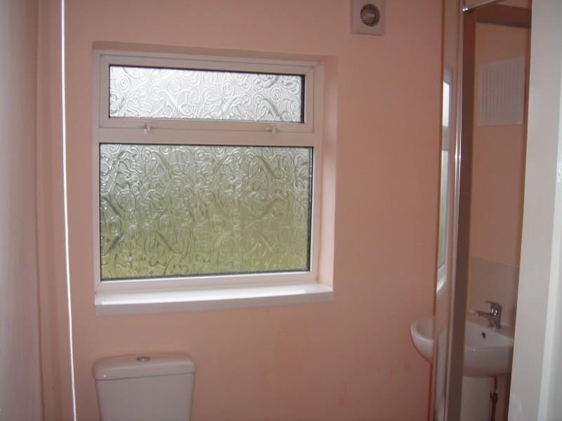
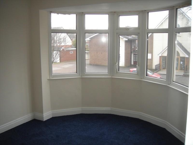
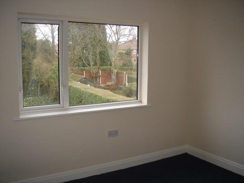
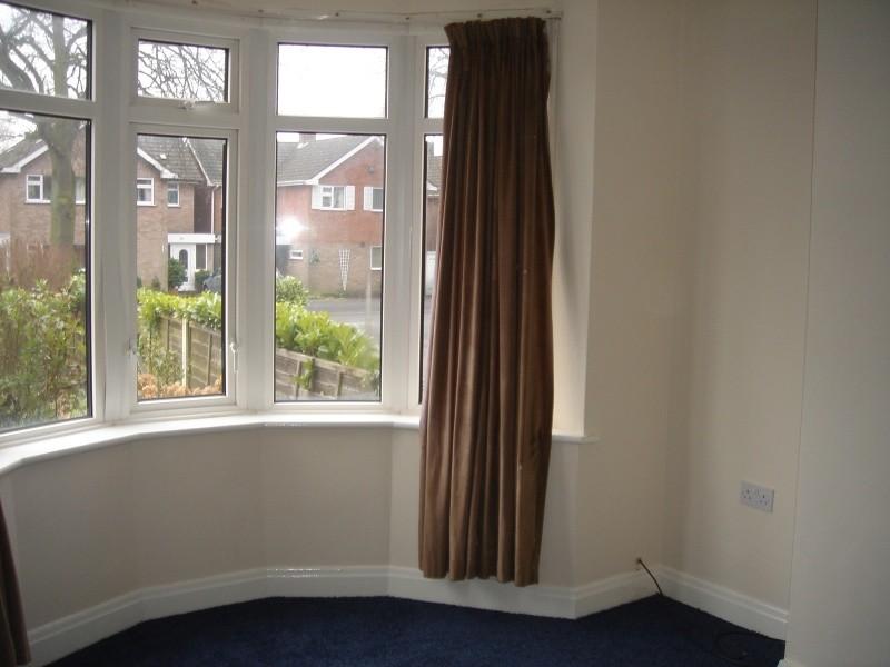
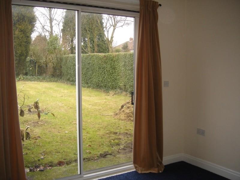
Photo 1 Photo 2 Photo 3 Photo 4 Photo 5 Photo 6 Photo 7
/ 7
Property details
Floor area
67 m²
EPC rating
D
Year built
England and Wales: 1930-1949
Deprivation
Decile 10 (32,389 of 33,755)
Street crime
38 incidents within 1 mile (Mar 2026)
Key features
- Lounge
- Dining Room
- Fitted Kitchen
- Family Bathroom with Shower
- 2 Double Bedrooms
- 1 Single Bedroom
- Gas Central Heating
- Double Glazing
- Off Road Parking
- Front & Rear Gardens
Additional details
- Parking
- Yes
- Garden
- Yes
Description
Listed by
Sutton Coldfield
Belvoir
Reference: 23175464
EPC Rating & Upgrade Cost
Current rating: D
Potential rating: B
Inspection date: 08/01/2022
Current heating cost: £619/year
Potential heating cost: £393/year
Est. upgrade cost to C: £19,500
Recommendations
- 50 mm internal or external wall insulation (£4,000 - £14,000)
- Floor insulation (suspended floor) (£800 - £1,200)
- Solar water heating (£4,000 - £6,000)
- Solar photovoltaic panels, 2.5 kWp (£3,500 - £5,500)
Flood risk
Zone: 2
Risk: In flood risk area
Environment Agency Flood Risk Areas (APSFR)
Rental Range
Estimated market rent for Walsall. Low = conservative, Realistic = average, Optimistic = best case.
Based on Local Authority from postcode lookup → Walsall.
LHA (30th percentile) floor for Birmingham: £823/mo (Apr 2025 – Mar 2026)
Location
Nearby
Nearest stations, universities and amenities (distance from property).
| Type | Name | Distance |
|---|---|---|
| Bus stop | Bridle Lane / Bridlewood | 0.0 miles |
| Shop | Sutton Mobility Centre | 0.2 miles |
| Shop | Mahoneys | 0.7 miles |
| Train station | Butlers Lane | 2.4 miles |
| Train station | Four Oaks | 2.5 miles |
| University | BIMM University Birmingham | 6.9 miles |
| University | University of Birmingham School of Dentistry | 8.8 miles |
| Hospital | Brian Oliver Centre | 9.4 miles |
| Hospital | Bilston Street Surgery | 10.0 miles |
Street-level crime
| Category | Count |
|---|---|
| Violence and sexual offences | 15 |
| Other theft | 8 |
| Criminal damage and arson | 5 |
| Burglary | 3 |
| Anti-social behaviour | 2 |
| Vehicle crime | 2 |
| Other crime | 1 |
| Public order | 1 |
| Shoplifting | 1 |
| Total incidents | 38 |
Within 1 mile during Mar 2026. Source: data.police.uk (England & Wales).
Schools nearby
Nearest open schools with Ofsted ratings (England). Closed schools are not shown. Data from Get Information about Schools and Ofsted.
| Name | Type | Distance | Ofsted |
|---|---|---|---|
| St Anne's Catholic Primary School, Streetly | Primary | 0.2 miles | Outstanding — 16 Oct 2013 |
| Blackwood School | Primary | 0.4 miles | Good — 14 Oct 2011 |
| Manor Primary School | Primary | 0.5 miles | Good — 26 Oct 2012 |
| The Streetly Academy | Secondary | 0.5 miles | Good — 1 Dec 2022 |
| Lindens Primary School | Primary | 0.6 miles | Good — 21 May 2023 |
Rental Comparables
Residential lets from OpenRent and Rightmove for the area (same bedroom count). Use to validate rent estimates. Student lets are excluded.
| Title | Rent | Beds | Distance | As seen on |
|---|---|---|---|---|
| 3 Bed Semi-Detached House, Hundred Acre Road, B74 | £1,600/mo | 3 | 0.16 miles | OpenRent |
| 3 Bed Semi-Detached House, Hillside Drive, B74 | £1,399/mo | 3 | 0.21 miles | OpenRent |
| 3 Bed Flat, Forbury Road, RG1 | £4,000/mo | 3 | 0.32 miles | OpenRent |
| 3 Bed Semi-Detached House, Tulip Grove, B74 | £1,350/mo | 3 | 0.37 miles | OpenRent |
| 3 Bed Semi-Detached House, Aldridge Road, B74 | £1,399/mo | 3 | 0.39 miles | OpenRent |
| 3 Bed Detached House, Sunnybank Close, WS9 | £1,650/mo | 3 | 0.66 miles | OpenRent |
| 3 Bed Detached House, Sunnybank Close, WS9 | £1,575/mo | 3 | 0.66 miles | OpenRent |
| 3 Bed Semi-Detached House, Foley Road West, B74 | £1,500/mo | 3 | 0.74 miles | OpenRent |
| 3 Bed Semi-Detached House, Stanhope Way, B43 | £1,250/mo | 3 | 1.22 miles | OpenRent |
Average rent: £1,747/mo (9 listings)