28 DOWNS CLOSE
WATERLOOVILLE, HAMPSHIRE PO7 8SN
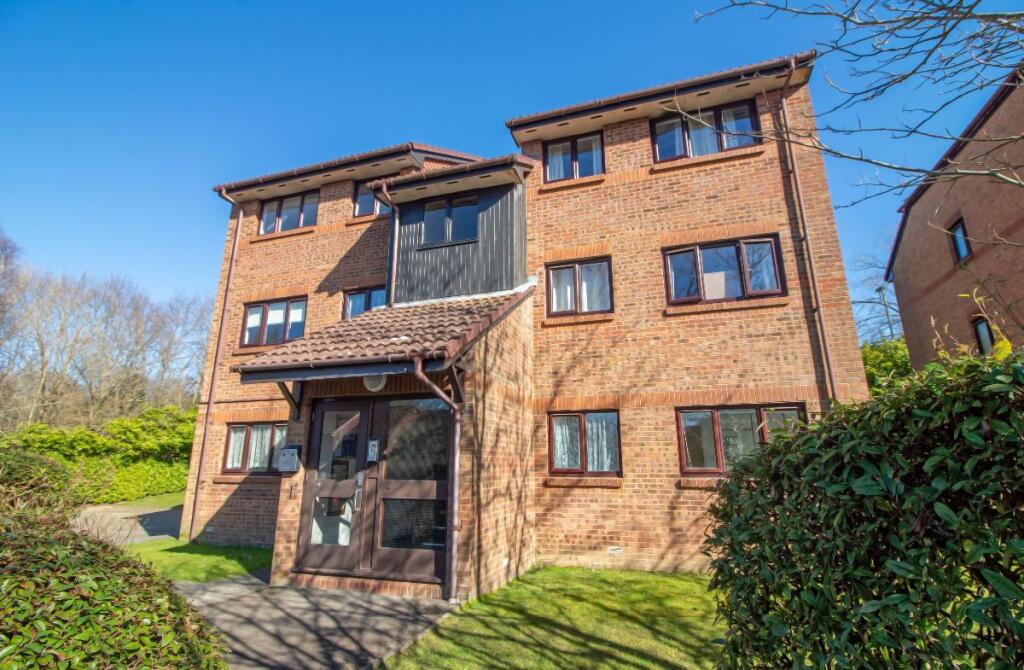
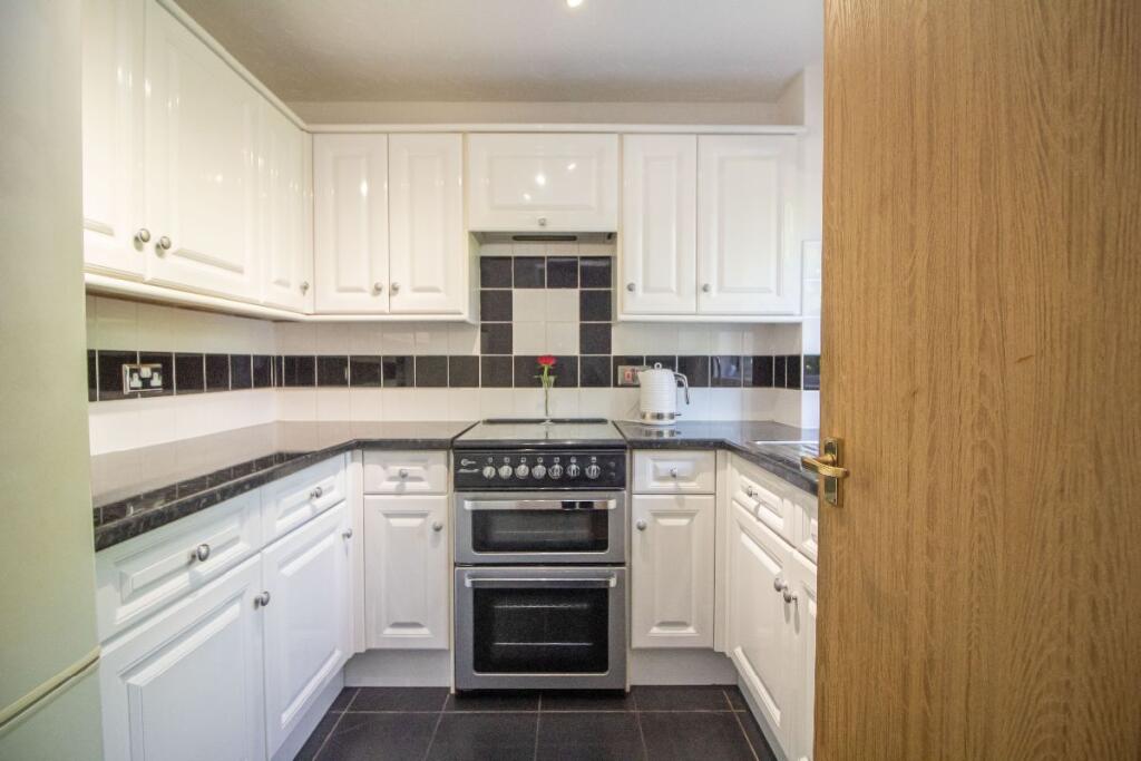
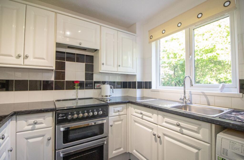
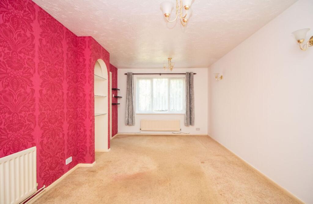
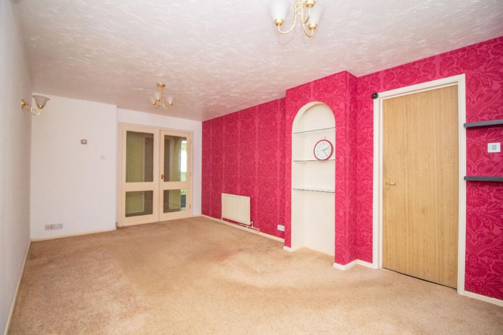
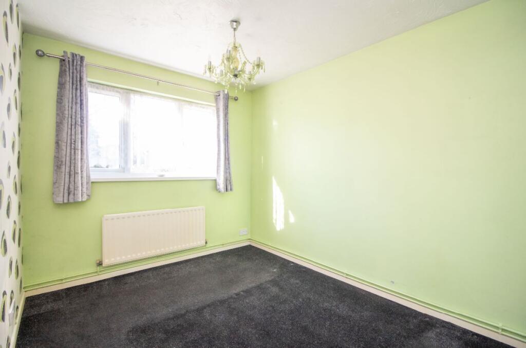
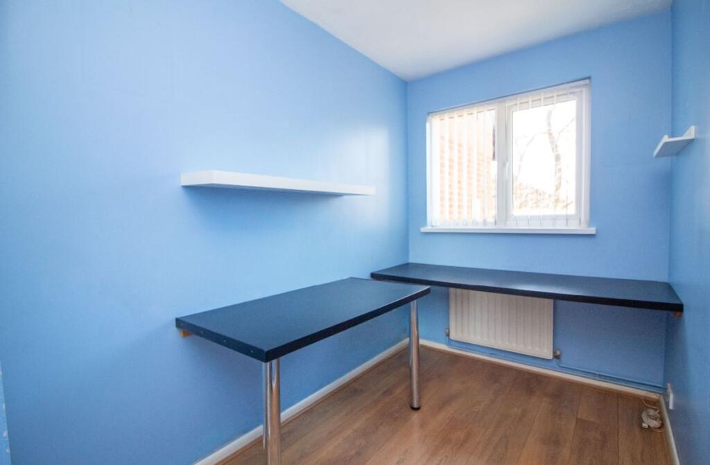
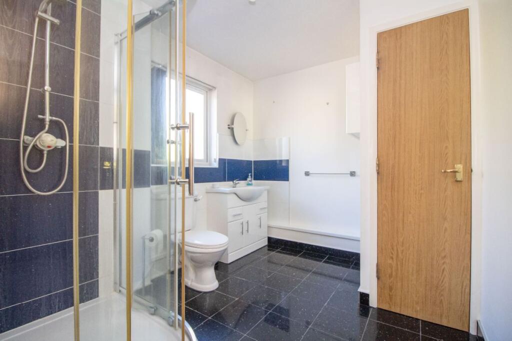
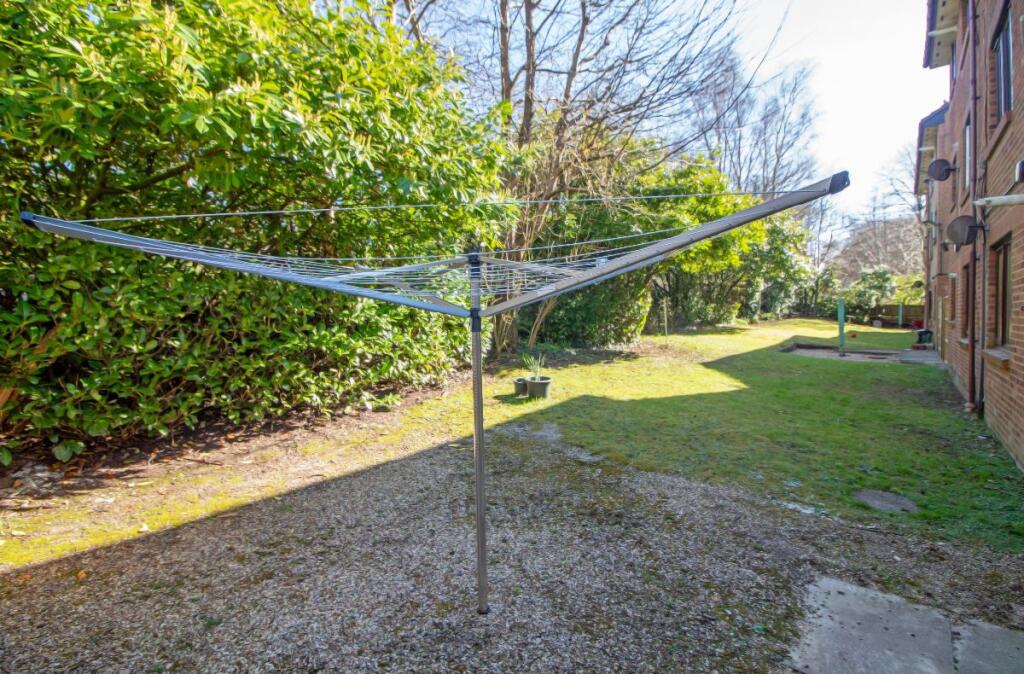
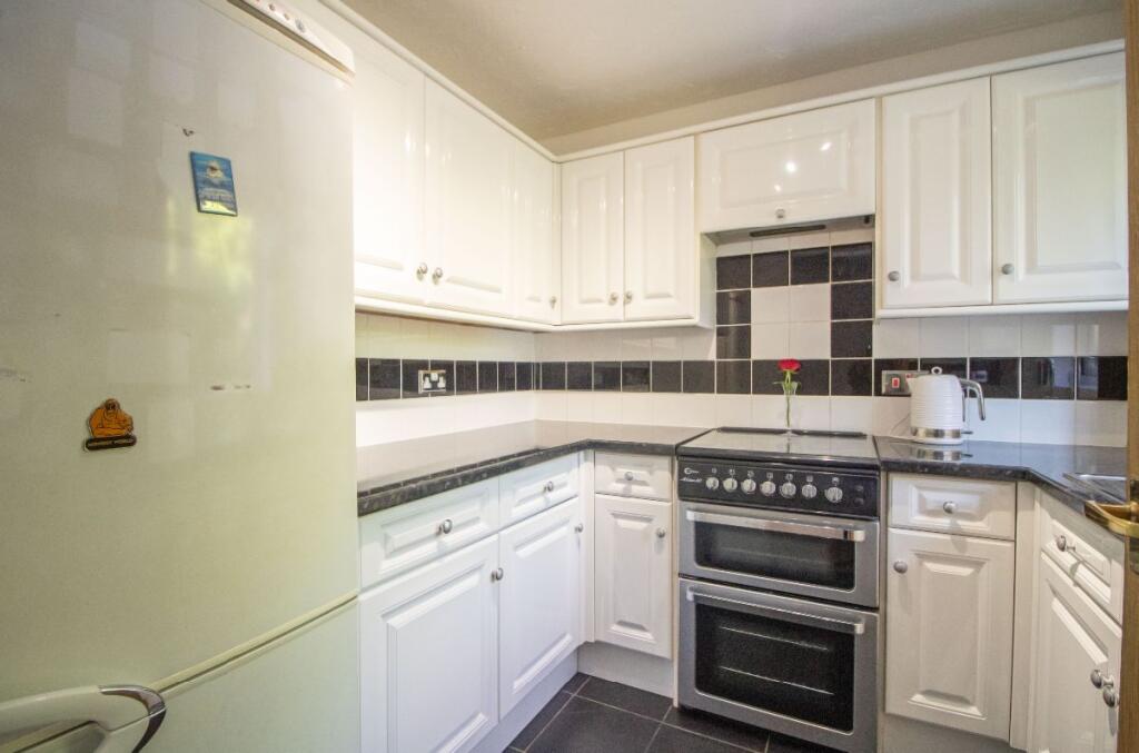
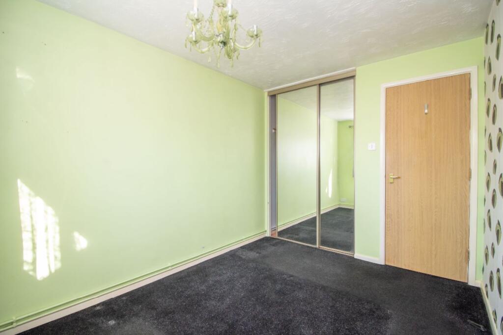
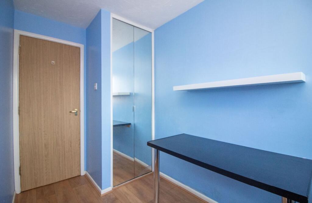
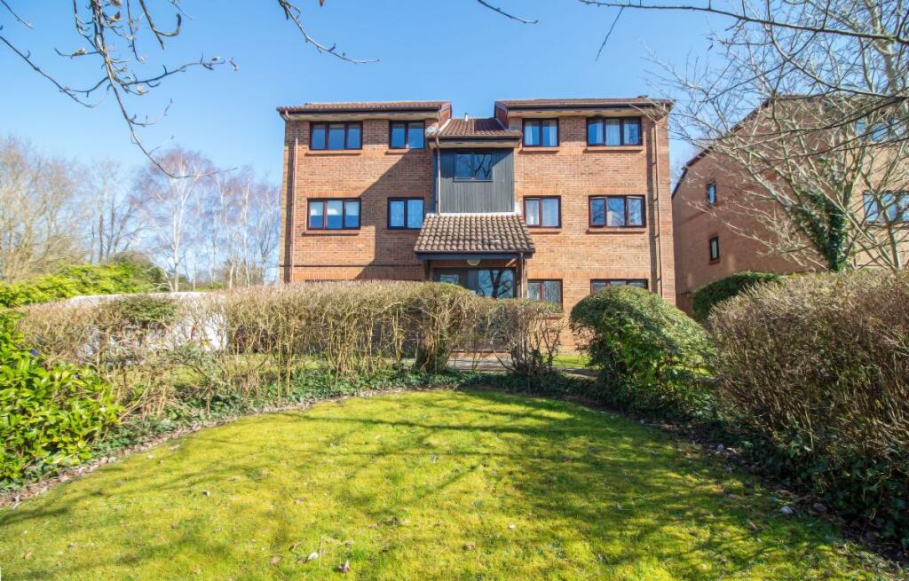
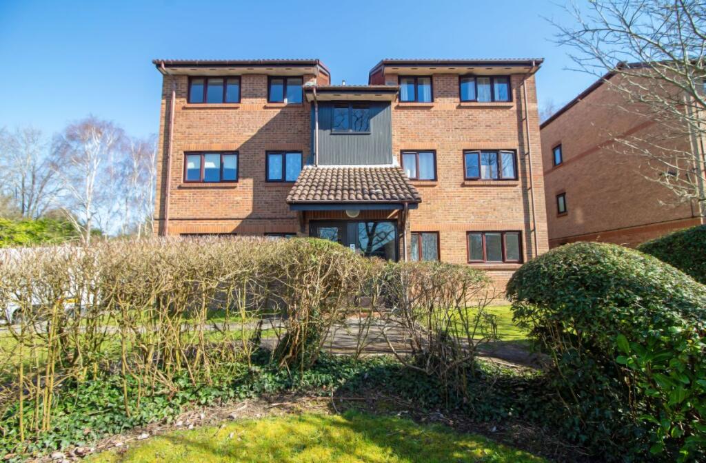
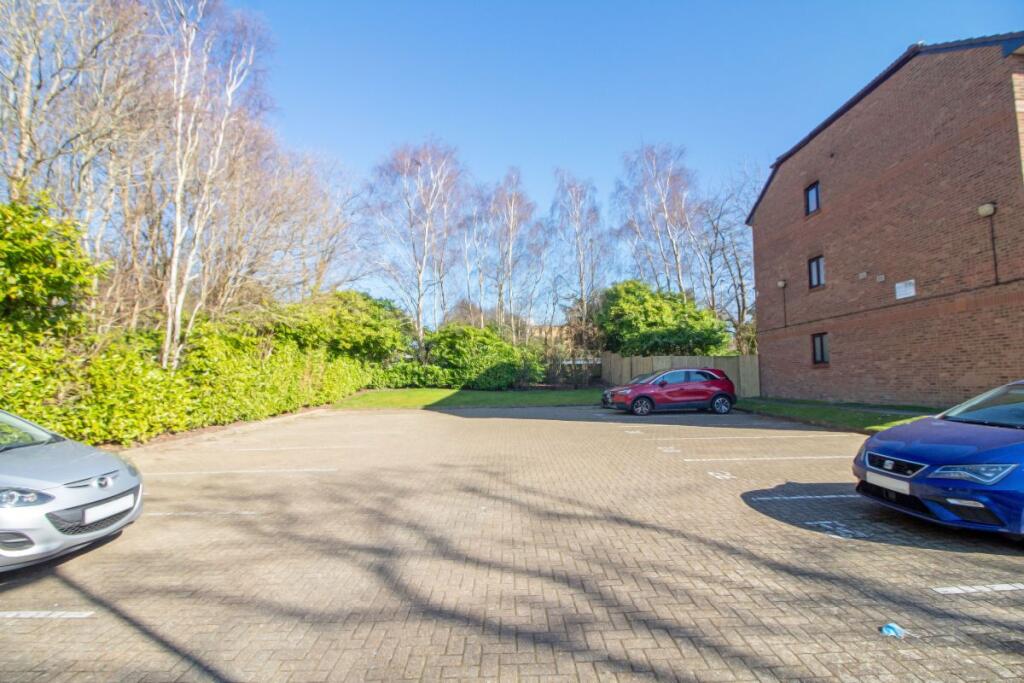
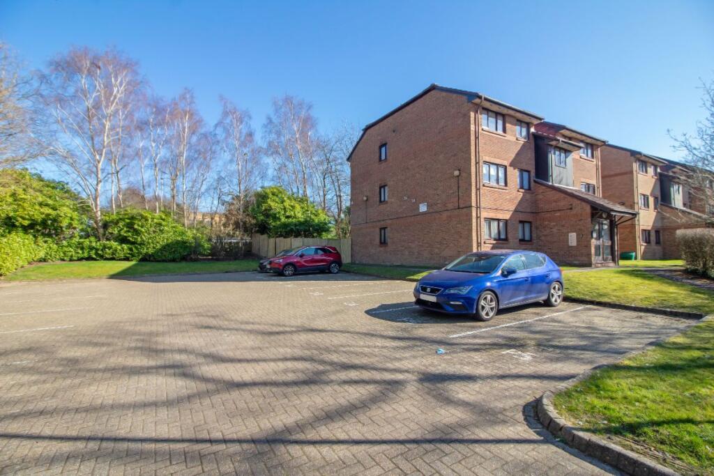
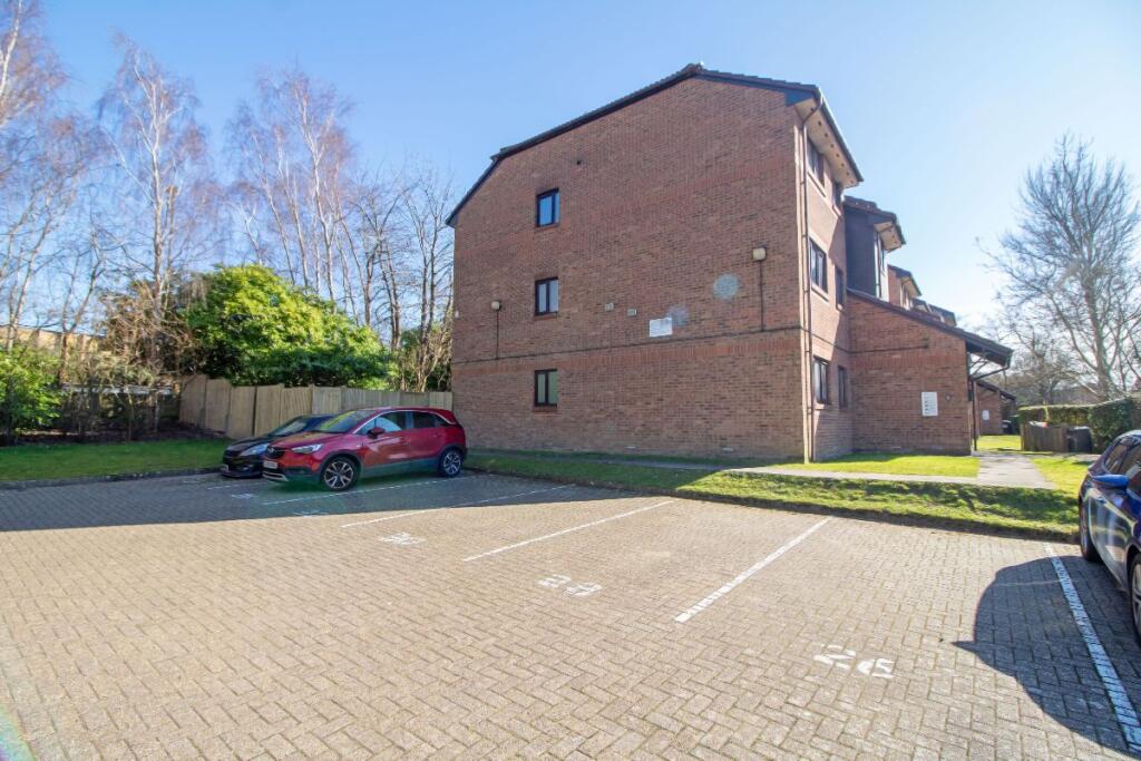
Photo 1 Photo 2 Photo 3 Photo 4 Photo 5 Photo 6 Photo 7 Photo 8 Photo 9 Photo 10 Photo 11 Photo 12 Photo 13 Photo 14 Photo 15 Photo 16 Photo 17
/ 17
Property details
Tenure
LEASEHOLD (89 years remaining on lease)
Floor area
52 m²
Council tax band
B
Last sold
£137,000 Feb 2026
Local average
£160,527 (-3.4%)
Deprivation
Decile 9 (27,942 of 33,755)
Street crime
116 incidents within 1 mile (Apr 2026)
Additional details
- Parking
- Off street, Residents
- Garden
- Communal garden
- Listed property
- No
- Restrictions
- No
- Required access
- No
- Rights of way
- No
- Flooded in last 5 years
- No
- Flood defences
- No
Description
Council Tax Band: B
Tenure: Leasehold (89 years)
Service Charge: £1,936.99 per year
Listed by
Waterlooville
A J Eyre & Sons
Reference: 159710144
EPC Rating & Upgrade Cost
Fetching EPC data… Refresh this page in a moment.
Flood risk
Zone: 1
Risk: Low
Job (default Low)
Floorplans
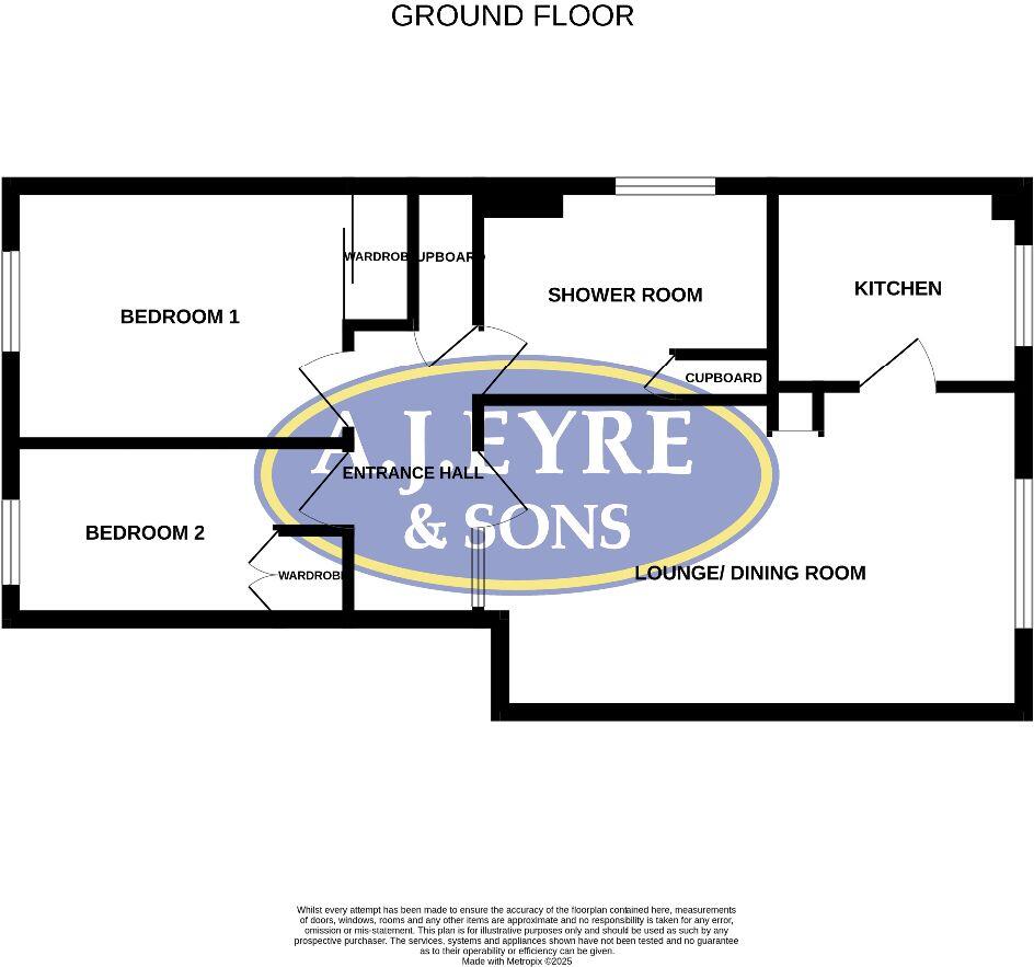
Floorplan 1
EPC Graphs
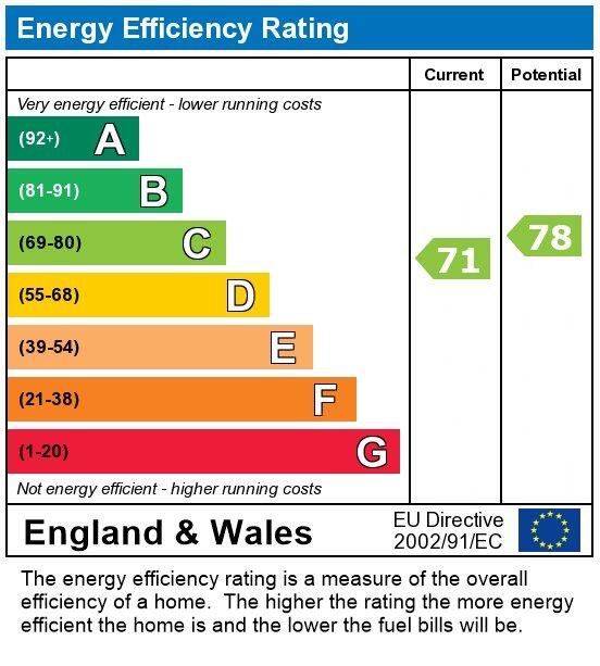
EPC
Price history
| Event | Date | Price | % change |
|---|---|---|---|
| Sold | 02/02/2026 (4 months ago) | £137,000 | — |
Source: HM Land Registry Price Paid Data. Crown copyright.
Sold Comparables
Same street and nearby sales within 0.25 miles (last 5 years). Data from Land Registry Price Paid.
| Address | Price | Date | Type |
|---|---|---|---|
| Same street 26 DOWNS CLOSE, WATERLOOVILLE, HAVANT, HAMPSHIRE, PO7 8SN | £145,000 | 16/12/2025 | Flat |
| Same street 21 DOWNS CLOSE, WATERLOOVILLE, HAVANT, HAMPSHIRE, PO7 8SN | £161,500 | 06/06/2023 | Flat |
| 24 ZEUS LANE, WATERLOOVILLE, HAVANT, HAMPSHIRE, PO7 8AQ | £165,000 | 04/11/2022 | Flat |
| Same street 31 DOWNS CLOSE, WATERLOOVILLE, HAVANT, HAMPSHIRE, PO7 8SN | £236,000 | 30/06/2022 | Terraced |
| 41 ATHENA AVENUE, WATERLOOVILLE, HAVANT, HAMPSHIRE, PO7 8AE | £150,000 | 16/06/2022 | Flat |
| 22 TROJAN WAY, WATERLOOVILLE, HAVANT, HAMPSHIRE, PO7 8AL | £175,000 | 30/05/2022 | Flat |
| 35 TROJAN WAY, WATERLOOVILLE, HAVANT, HAMPSHIRE, PO7 8AL | £205,000 | 16/05/2022 | Flat |
| Same street 44 DOWNS CLOSE, WATERLOOVILLE, HAVANT, HAMPSHIRE, PO7 8SN | £165,000 | 27/01/2022 | Flat |
| 32 TOR CLOSE, WATERLOOVILLE, HAVANT, HAMPSHIRE, PO7 8SU | £130,000 | 17/01/2022 | Flat |
| 30 ZEUS LANE, WATERLOOVILLE, HAVANT, HAMPSHIRE, PO7 8AQ | £80,400 | 22/11/2021 | Flat |
| Same street 19 DOWNS CLOSE, WATERLOOVILLE, HAVANT, HAMPSHIRE, PO7 8SN | £150,000 | 12/11/2021 | Flat |
| 55 ATHENA AVENUE, WATERLOOVILLE, HAVANT, HAMPSHIRE, PO7 8AF | £160,000 | 10/09/2021 | Flat |
| 7 TOR CLOSE, WATERLOOVILLE, HAVANT, HAMPSHIRE, PO7 8SU | £120,000 | 09/09/2021 | Flat |
| Same street 50 DOWNS CLOSE, WATERLOOVILLE, HAVANT, HAMPSHIRE, PO7 8SN | £184,000 | 23/07/2021 | Semi-detached |
Street average: £173,583 (6 sales)
Area average: £148,175 (8 sales)
Capital growth trend
Land Registry outcode average: last 12 months vs 5y and 10y ago (from sold prices).
House Price Index (HM Land Registry — official index, not sold-price averages): Havant. Series: Flats and maisonettes. As of March 2026.
Rental Range
Estimated market rent for Havant. Low = conservative, Realistic = average, Optimistic = best case.
Based on Local Authority from postcode lookup → Havant.
LHA (30th percentile) floor for Portsmouth: £843/mo (Apr 2025 – Mar 2026)
Location
Nearby
Nearest stations, universities and amenities (distance from property).
| Type | Name | Distance |
|---|---|---|
| Bus stop | HSDC South Downs Bus Stop | 0.0 miles |
| Shop | Purbrook Chase Shopping Precinct | 0.3 miles |
| Shop | The Co-operative Food | 0.3 miles |
| Train station | Bedhampton | 1.3 miles |
| Train station | Havant | 1.9 miles |
| Hospital | Oak Park Community Clinic | 2.0 miles |
| Hospital | Elmleigh Hospital | 2.1 miles |
| University | University of Portsmouth - Langstone Campus | 4.6 miles |
| University | Rodney Road Centre | 4.7 miles |
Street-level crime
| Category | Count |
|---|---|
| Violence and sexual offences | 46 |
| Public order | 14 |
| Vehicle crime | 13 |
| Anti-social behaviour | 11 |
| Criminal damage and arson | 9 |
| Shoplifting | 7 |
| Drugs | 4 |
| Other theft | 4 |
| Bicycle theft | 2 |
| Other crime | 2 |
| Robbery | 2 |
| Burglary | 1 |
| Possession of weapons | 1 |
| Total incidents | 116 |
Within 1 mile during Apr 2026. Source: data.police.uk (England & Wales).
Schools nearby
Nearest open schools with Ofsted ratings (England). Closed schools are not shown. Data from Get Information about Schools and Ofsted.
| Name | Type | Distance | Ofsted |
|---|---|---|---|
| Havant and South Downs College | Other | 0.1 miles | — (No rating) |
| Riverside Community Special School | Other | 0.1 miles | Good — 7 Sep 2023 |
| Crookhorn College | Secondary | 0.3 miles | — (Inspected (no overall grade)) |
| Morelands Primary School | Primary | 0.4 miles | Good — 15 Jan 2023 |
| Oaklands Catholic School | Secondary | 0.5 miles | Good — 13 Apr 2013 |
Rental Comparables
Residential lets from OpenRent and Rightmove for the area (same bedroom count). Use to validate rent estimates. Student lets are excluded.
| Title | Rent | Beds | Distance | As seen on |
|---|---|---|---|---|
| 2 Bed Flat, Stakes Hill Road, PO7 | £1,500/mo | 2 | 0.58 miles | OpenRent |
Average rent: £1,500/mo (1 listing)
Rent-driven metrics
Based on OpenRent comparables.
- Rent ratio — Monthly rent ÷ purchase price (1% rule). 1%+ = strong, 0.8–1% = okay, <0.8% = weak for cashflow.
- Max investor price — Rent ÷ 0.8%; the price at which rent would be 0.8% of price (Stoke-style target).
- Target investor price — Rent ÷ 1%; the price at which rent would be 1% of price (strong cashflow band).
- Gross yield — Annual rent as % of purchase price (no costs).
- Cost-to-rent — Price ÷ annual rent (from OpenRent comparables). Under 14× = strong, 14–16× = acceptable, 17×+ = compressed.
- Cashflow — Rent minus mortgage, 10% maintenance, £25/mo compliance. Assumes 75% LTV, 3.95% APR (5yr fixed), 25yr term.
- ROI — Annual profit ÷ cash in (deposit + 4% purchase costs).