6 LADYCROFT AVENUE
BUXTON, BUXTON, DERBYSHIRE SK17 7AQ
Property details
Tenure
FREEHOLD
Council tax band
D
Last sold
£121,000 Jun 2002
Local average
£315,097 (+19%)
Deprivation
Decile 8 (24,748 of 33,755)
Street crime
139 incidents within 1 mile (Aug 2026)
Additional details
- Parking
- Yes
- Garden
- Yes
Description
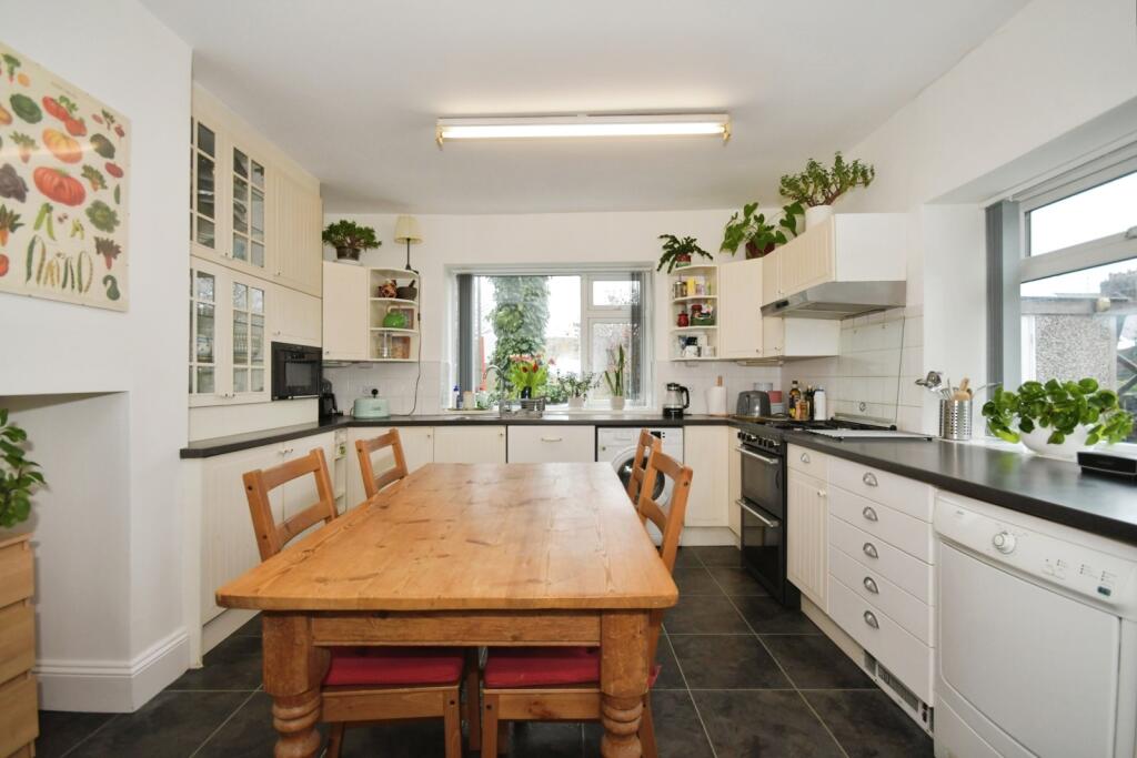
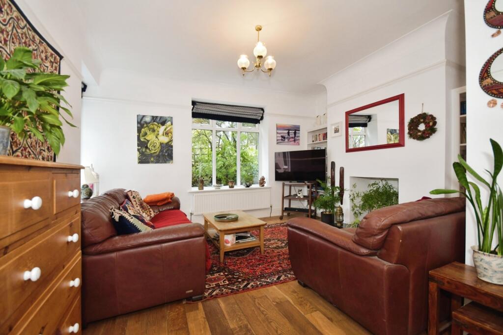
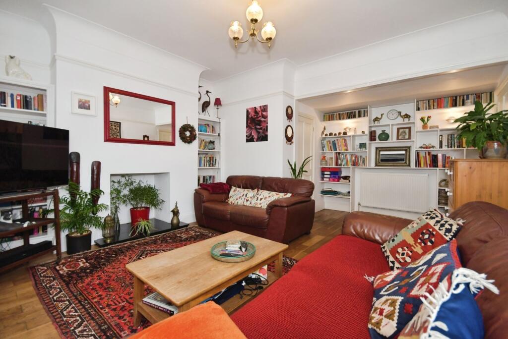
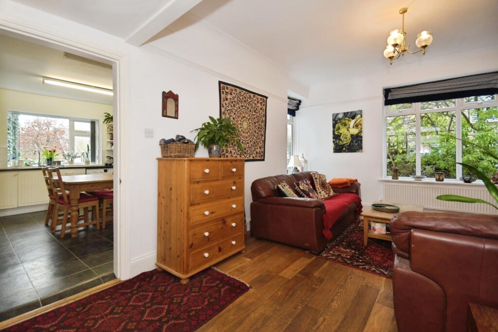
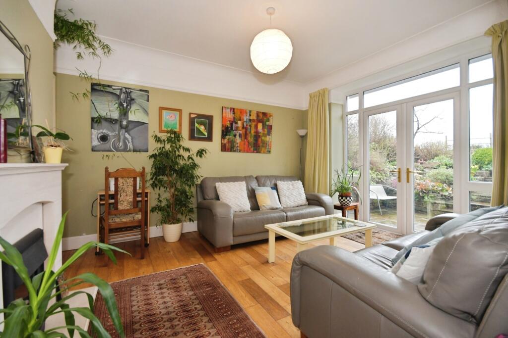
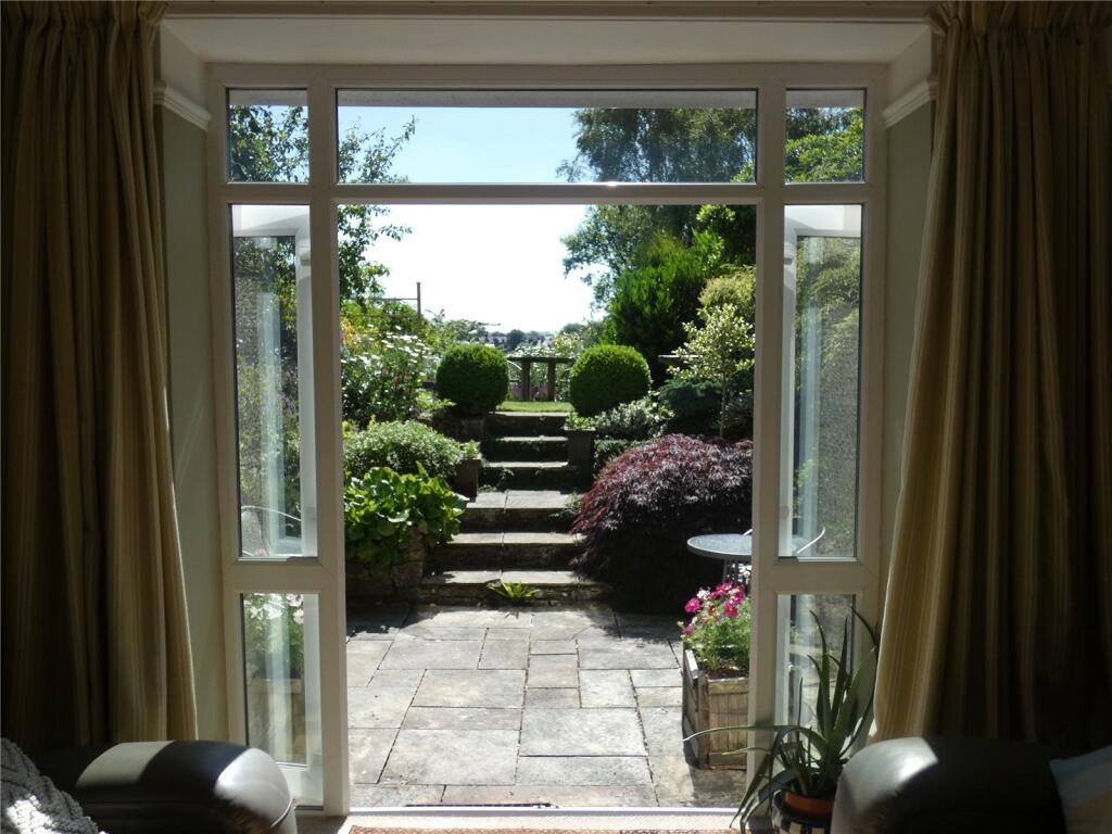
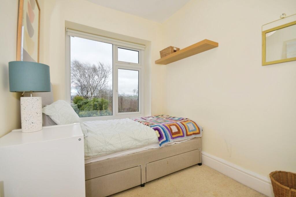
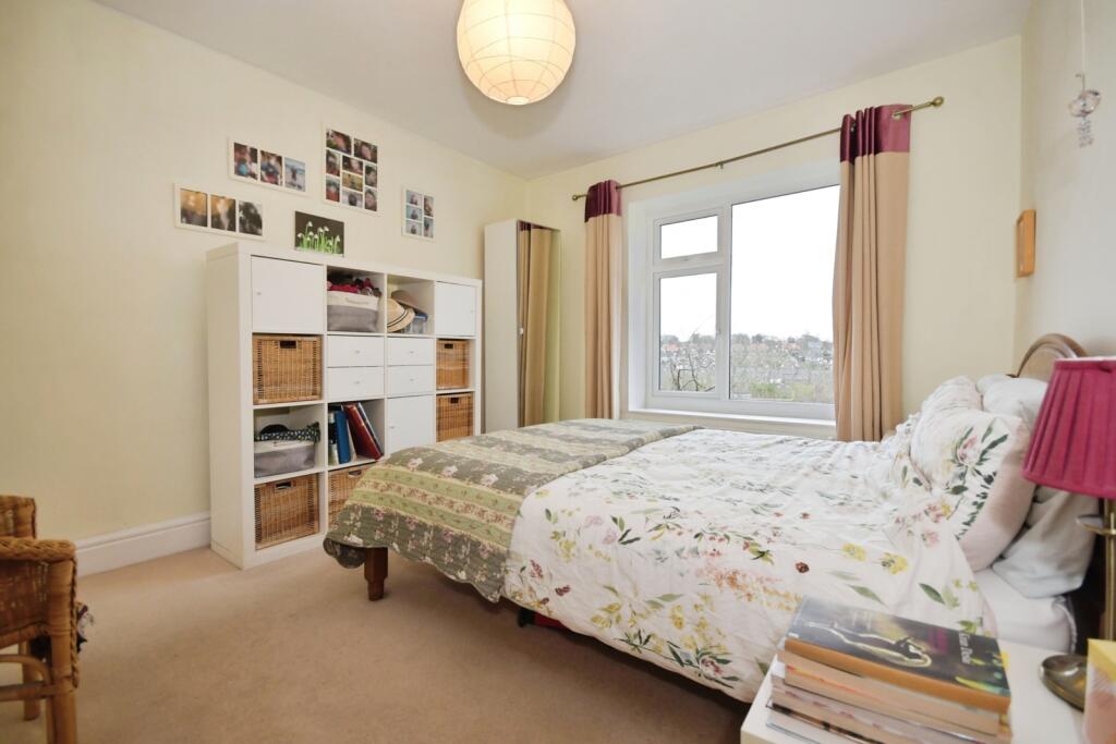
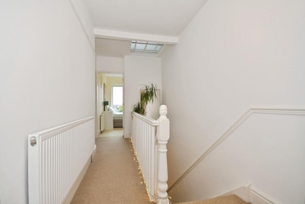
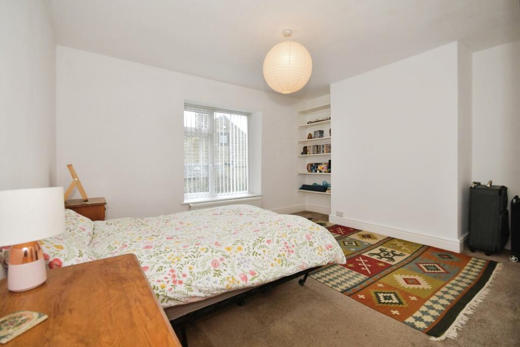
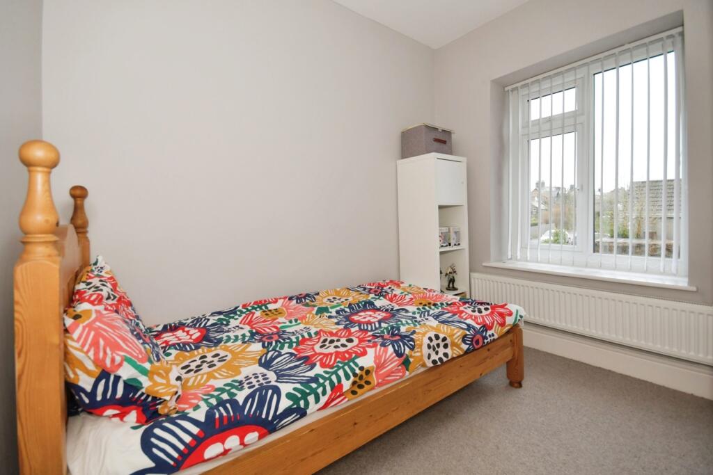
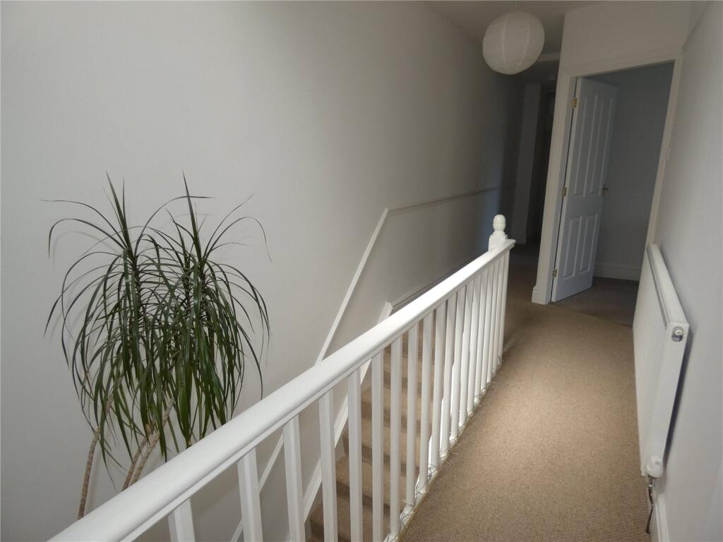
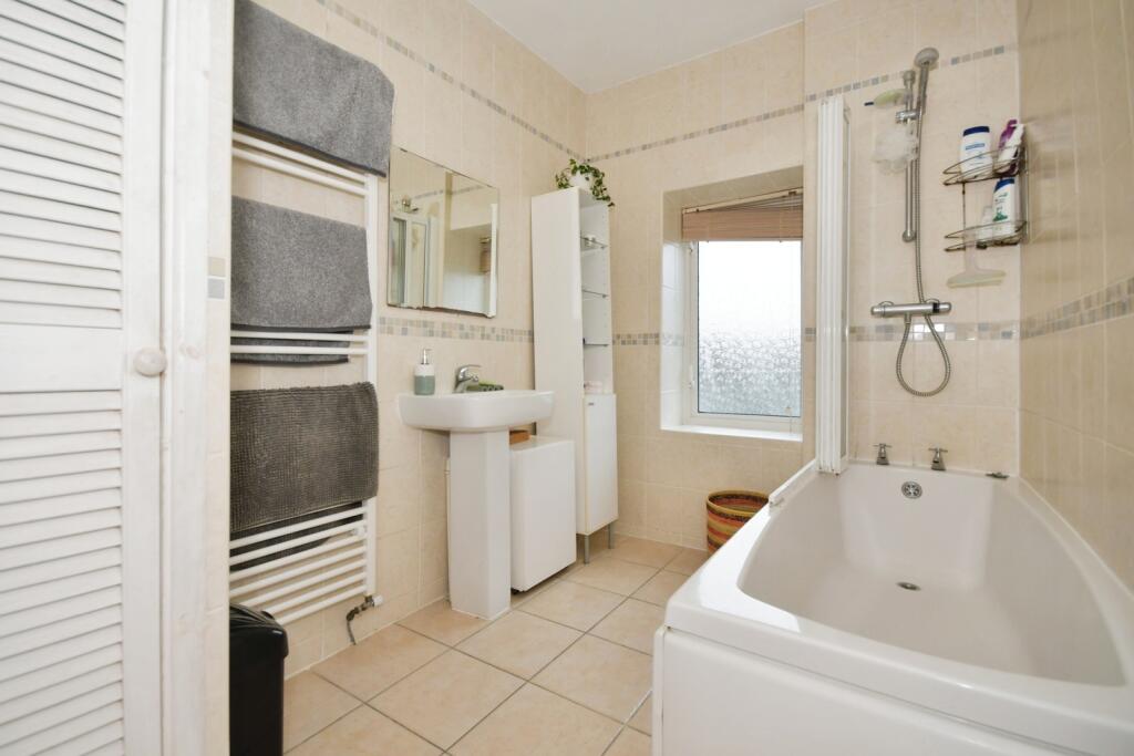
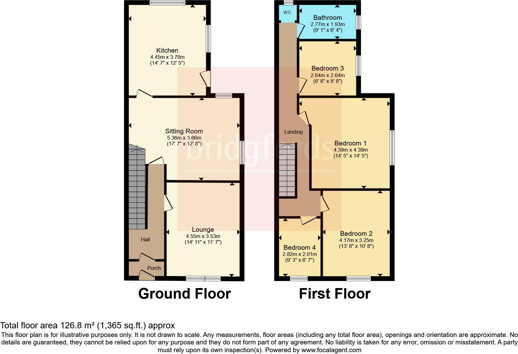
Internally the accommodation is bright and airy, having a large dining kitchen and two good-sized living rooms with high ceilings, original coving and picture rails. The kitchen is amply equipped with cream base and wall units, display cabinets, contrasting work surface, slate-effect flooring and built-in fridge, freezer and dishwasher. The formal front lounge has large windows, a chimney breast with insert for a fire or stove, shelved alcoves and warm natural oak flooring which extends through to the hall and the rear sitting room. This latter room is a lovely bright space with double doors that frame the patio and mature gardens beyond. A vestibule entrance at the back of the house leads to a wide staircase with natural light provided by an overhead lightwell and a spacious landing, some 30ft long, with four good-sized bedrooms, bathroom and separate WC leading off.
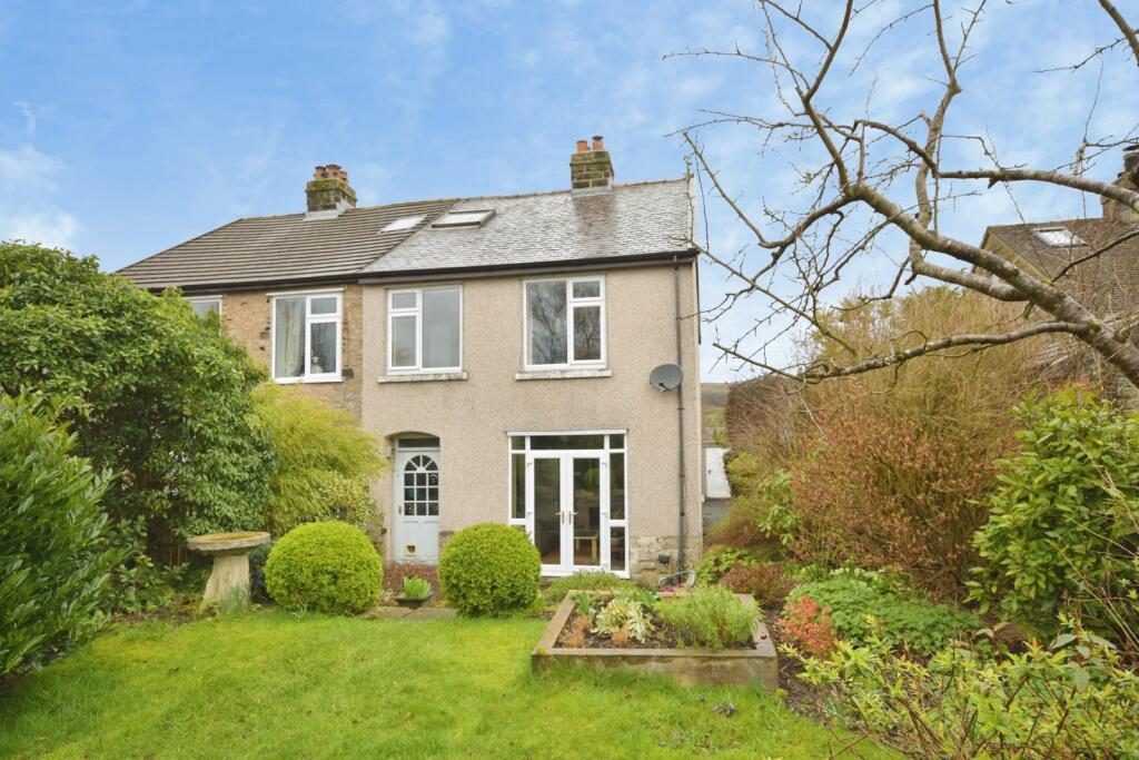
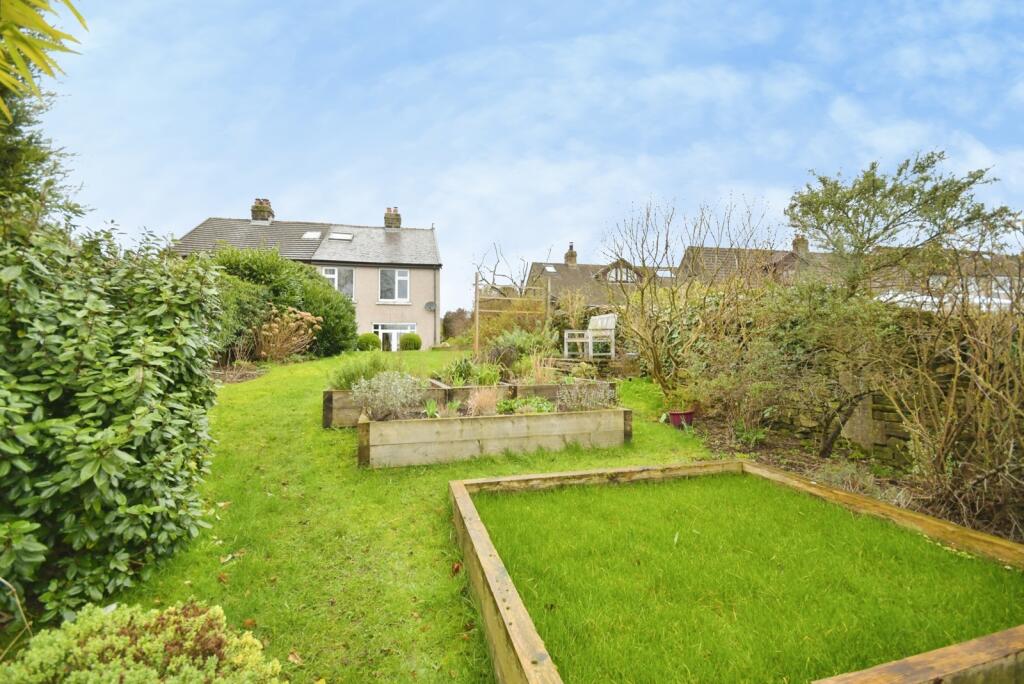
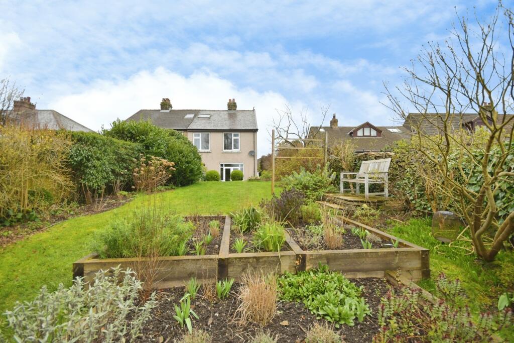
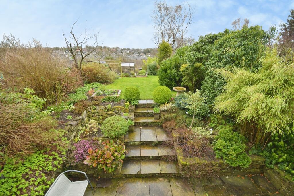
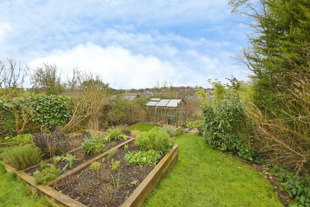
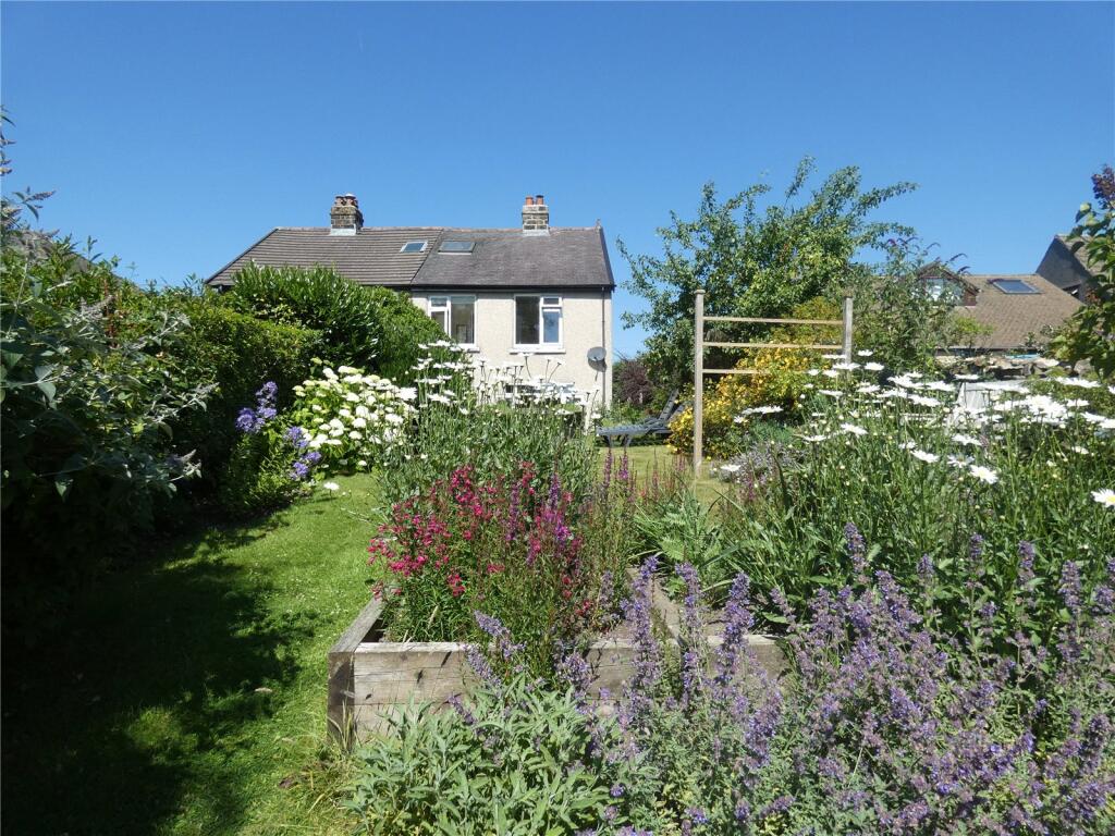
The private rear garden is a peaceful haven that overlooks the valley beyond. It extends to approximately 128ft (39 meters) and includes patio and seating areas, sunny lawns, shed, timber greenhouse and raised beds. Planting includes formal and wildlife friendly areas, fruit trees and bushes with lots of opportunity for home grown produce.
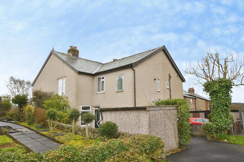
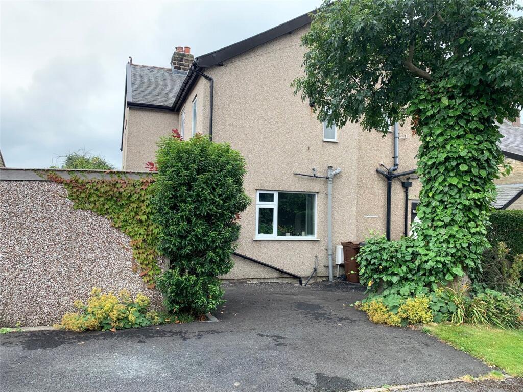
Externally to the front there is off-road parking and a concrete sectional shed for storage.
The location offers easy walking access to the town centre and railway station as well as breathtaking open countryside. The best of both worlds in this beautiful town.
Listed by
Buxton
Countrywide UK Sales - Connells
Reference: 165364886
Flood risk
Zone: 1
Risk: Low
Job (default Low)
Registered land (INSPIRE)
This location falls inside an HM Land Registry INSPIRE registered freehold polygon.
Plot: ~460 m² (0.11 acres)
Source: HM Land Registry INSPIRE Index Polygons.
Floorplans
Floorplan
EPC Graphs
EPC Rating Graph
FENSA Certificates
This property has 2 FENSA certificate(s) on record, indicating window/door installations by FENSA-approved installers.
FENSA Certificate #15016539 Recent
Property Details
Street: 6 Ladycroft Avenue
Town: BUXTON
Postcode: SK17 7AQ
Installation Details
Items: 4 windows
Certificate Issued: 06/02/2022
Work Completed: 18/01/2022
This certificate data was retrieved from FENSA's database
FENSA Certificate #16792234 Recent
Property Details
Street: 6 Ladycroft Avenue
Town: BUXTON
Postcode: SK17 7AQ
Installation Details
Items: 1 door
Certificate Issued: 11/05/2025
Work Completed: 28/03/2025
This certificate data was retrieved from FENSA's database
What is FENSA? FENSA (Fenestration Self-Assessment Scheme) is a government-authorised scheme that monitors building regulation compliance for replacement windows and doors. Certificates indicate that work was completed by FENSA-approved installers.
Price history
| Event | Date | Price | % change |
|---|---|---|---|
| Listed for sale | — | £375,000 | +209.9% |
| Sold | 28/06/2002 (24 years ago) | £121,000 | — |
Source: HM Land Registry Price Paid Data. Crown copyright.
Sold Comparables
Same street and nearby sales within 0.25 miles (last 5 years). Data from Land Registry Price Paid.
| Address | Price | Date | Type |
|---|---|---|---|
| Same street 3 LADYCROFT AVENUE, BUXTON, HIGH PEAK, DERBYSHIRE, SK17 7AQ | £385,000 | 24/08/2023 | Other |
| 100 LIGHTWOOD ROAD, BUXTON, HIGH PEAK, DERBYSHIRE, SK17 7AN | £305,000 | 18/11/2022 | Semi-detached |
| 127 LIGHTWOOD ROAD, BUXTON, HIGH PEAK, DERBYSHIRE, SK17 6RW | £465,000 | 10/11/2022 | Semi-detached |
| 138 LIGHTWOOD ROAD, BUXTON, HIGH PEAK, DERBYSHIRE, SK17 6RW | £660,000 | 03/11/2022 | Semi-detached |
| 74 BROWN EDGE ROAD, BUXTON, HIGH PEAK, DERBYSHIRE, SK17 7AF | £221,000 | 26/08/2022 | Semi-detached |
| 20 HOGSHAW VILLAS ROAD, BUXTON, HIGH PEAK, DERBYSHIRE, SK17 7AR | £235,000 | 26/08/2022 | Semi-detached |
| 84 BROWN EDGE ROAD, BUXTON, HIGH PEAK, DERBYSHIRE, SK17 7AF | £335,000 | 28/06/2022 | Semi-detached |
| 52 BROWN EDGE ROAD, BUXTON, HIGH PEAK, DERBYSHIRE, SK17 7AG | £450,000 | 15/12/2021 | Semi-detached |
Street average: £385,000 (1 sale)
Area average: £381,571 (7 sales)
Capital growth trend
Land Registry outcode average: last 12 months vs 5y and 10y ago (from sold prices).
House Price Index (HM Land Registry — official index, not sold-price averages): High Peak. Series: Semi-detached. As of July 2026.
Rental Range
Estimated market rent for High Peak. Low = conservative, Realistic = average, Optimistic = best case.
Based on Local Authority from postcode lookup → High Peak.
LHA (30th percentile) floor for Peaks & Dales: £898/mo (Apr 2025 – Mar 2026)
Location
Nearby
Nearest stations, universities and amenities (distance from property).
| Type | Name | Distance |
|---|---|---|
| Bus stop | Fairfield, Queens Road / opposite Windsor Road | 0.3 miles |
| Bus stop | Buxton, Station Road / Railway Station | 0.3 miles |
| Train station | Buxton | 0.4 miles |
| Shop | NDA Motors | 0.4 miles |
| Shop | GT Motor Spares | 0.4 miles |
| University | University of Derby, Buxton | 0.5 miles |
| Train station | Buxton Miniature Railway | 0.7 miles |
| Hospital | Buxton Hospital & Corbar Birth Centre | 1.2 miles |
| Hospital | Rosemount Resource Centre | 9.8 miles |
| University | Tovell Building, Buxton & Leek College | 11.9 miles |
Street-level crime
| Category | Count |
|---|---|
| Violence and sexual offences | 65 |
| Anti-social behaviour | 19 |
| Shoplifting | 18 |
| Public order | 12 |
| Criminal damage and arson | 9 |
| Burglary | 4 |
| Other theft | 4 |
| Drugs | 3 |
| Other crime | 2 |
| Possession of weapons | 1 |
| Robbery | 1 |
| Vehicle crime | 1 |
| Total incidents | 139 |
Within 1 mile during Aug 2026. Source: data.police.uk (England & Wales).
Schools nearby
Nearest open schools with Ofsted ratings (England). Closed schools are not shown. Data from Get Information about Schools and Ofsted.
| Name | Type | Distance | Ofsted |
|---|---|---|---|
| St Anne's Catholic Voluntary Academy | Primary | 0.2 miles | Good — 7 Feb 2023 |
| St Thomas More Catholic Voluntary Academy | Secondary | 0.3 miles | Requires improvement — 9 Feb 2023 |
| Buxton and Leek College | Other | 0.5 miles | — (No rating) |
| Fairfield Infant and Nursery School | Primary | 0.6 miles | Good — 14 Nov 2018 |
| Buxton Infant School | Primary | 0.6 miles | Good — 30 Jan 2024 |
Rental Comparables
Rental listings exist nearby, but none matched the 4-bedroom count for this property.
Rent-driven metrics
Based on Area rent estimate.
- Rent ratio — Monthly rent ÷ purchase price (1% rule). 1%+ = strong, 0.8–1% = okay, <0.8% = weak for cashflow.
- Max investor price — Rent ÷ 0.8%; the price at which rent would be 0.8% of price (Stoke-style target).
- Target investor price — Rent ÷ 1%; the price at which rent would be 1% of price (strong cashflow band).
- Gross yield — Annual rent as % of purchase price (no costs).