16 CHAMBERS STREET
CREWE, CHESHIRE EAST CW2 6HJ
£750 pcm
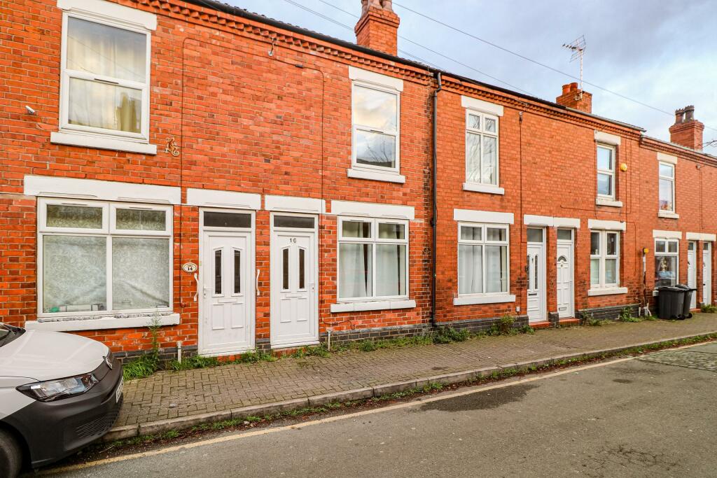
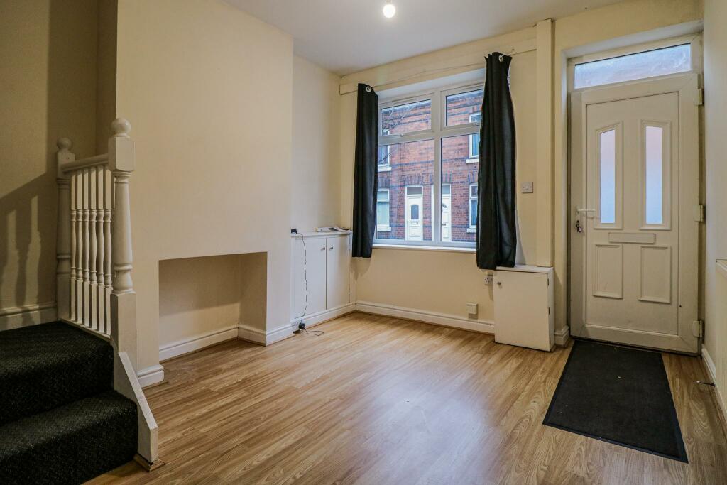
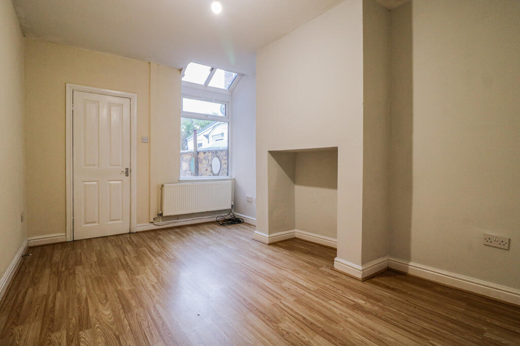
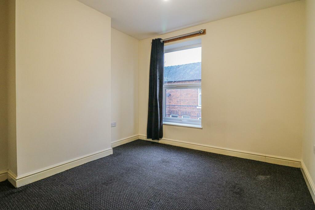
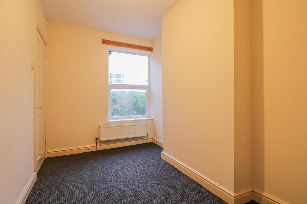
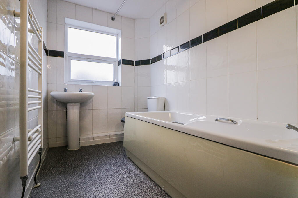
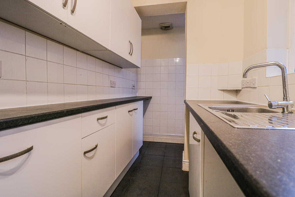
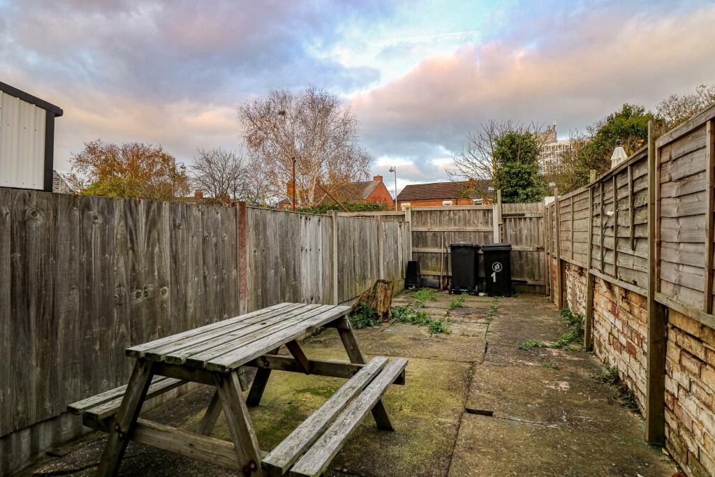
Photo 1 Photo 2 Photo 3 Photo 4 Photo 5 Photo 6 Photo 7 Photo 8
/ 8
Property details
Floor area
63 m²
Council tax band
A
Deprivation
Decile 2 (5,873 of 33,755)
Street crime
370 incidents within 1 mile (Apr 2026)
Additional details
- Heating
- Gas central
- Parking
- On street
- Garden
- Private garden
- Listed property
- No
Description
EPC rating: D.
Listed by
Sandbach
The Property Franchise Group
Reference: 155931938
EPC Rating & Upgrade Cost
Fetching EPC data… Refresh this page in a moment.
Flood risk
Zone: 1
Risk: Low
Job (default Low)
EPC Graphs

EPC Certificate
Rental Range
Estimated market rent for Cheshire East. Low = conservative, Realistic = average, Optimistic = best case.
Based on Local Authority from postcode lookup → Cheshire East.
LHA (30th percentile) floor for South Cheshire: £573/mo (Apr 2025 – Mar 2026)
Location
Nearby
Nearest stations, universities and amenities (distance from property).
| Type | Name | Distance |
|---|---|---|
| Shop | Jay's Computer Services | 0.1 miles |
| Shop | Top Gee | 0.1 miles |
| Bus stop | Crewe, Nantwich Road / The Brunswick | 0.1 miles |
| Train station | Crewe | 0.3 miles |
| University | University of Buckingham Crewe Campus | 0.8 miles |
| Hospital | Leighton Hospital | 2.6 miles |
| Train station | Nantwich | 3.7 miles |
| Hospital | Weaver Lodge Independent Hospital | 7.4 miles |
| University | Keele University | 9.2 miles |
Street-level crime
| Category | Count |
|---|---|
| Violence and sexual offences | 142 |
| Shoplifting | 55 |
| Public order | 45 |
| Anti-social behaviour | 29 |
| Criminal damage and arson | 21 |
| Drugs | 19 |
| Other theft | 17 |
| Burglary | 12 |
| Bicycle theft | 8 |
| Other crime | 8 |
| Possession of weapons | 7 |
| Vehicle crime | 4 |
| Robbery | 3 |
| Total incidents | 370 |
Within 1 mile during Apr 2026. Source: data.police.uk (England & Wales).
Schools nearby
Nearest open schools with Ofsted ratings (England). Closed schools are not shown. Data from Get Information about Schools and Ofsted.
| Name | Type | Distance | Ofsted |
|---|---|---|---|
| Westminster Nursery School | Nursery | 0.2 miles | Good — 26 Nov 2014 |
| Ruskin Community High School | Secondary | 0.4 miles | Good — 1 Jul 2015 |
| Pebble Brook Primary School | Primary | 0.5 miles | Good — 25 Nov 2014 |
| Cheshire College - South & West | Other | 0.6 miles | — (No rating) |
| Edleston Primary School | Primary | 0.6 miles | Good — 10 Jun 2016 |
Rental Comparables
Residential lets from OpenRent and Rightmove for the area (same bedroom count). Use to validate rent estimates. Student lets are excluded.
| Title | Rent | Beds | Distance | As seen on |
|---|---|---|---|---|
| 2 Bed Terraced House, Gresty Road, CW2 | £1,900/mo | 2 | 0.17 miles | OpenRent |
Average rent: £1,900/mo (1 listing)