10 KINGS BROOK CLOSE
LOUGHBOROUGH, REMPSTONE, NOTTINGHAMSHIRE LE12 6RR
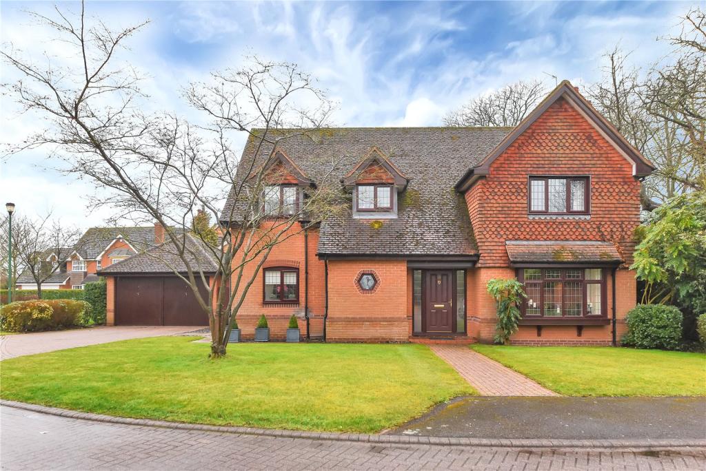
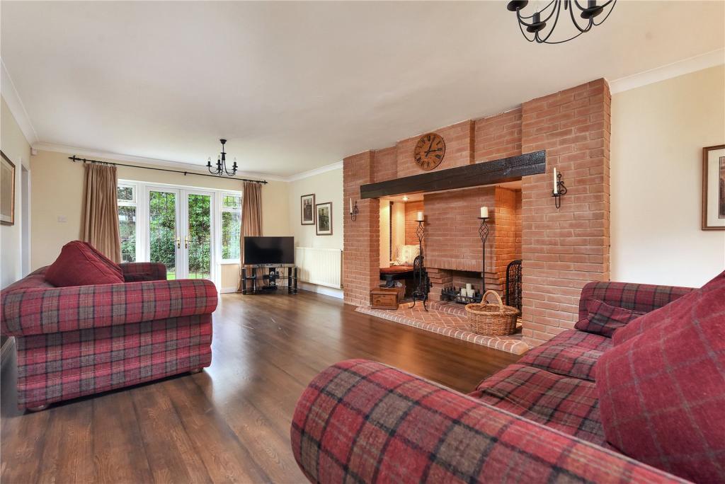
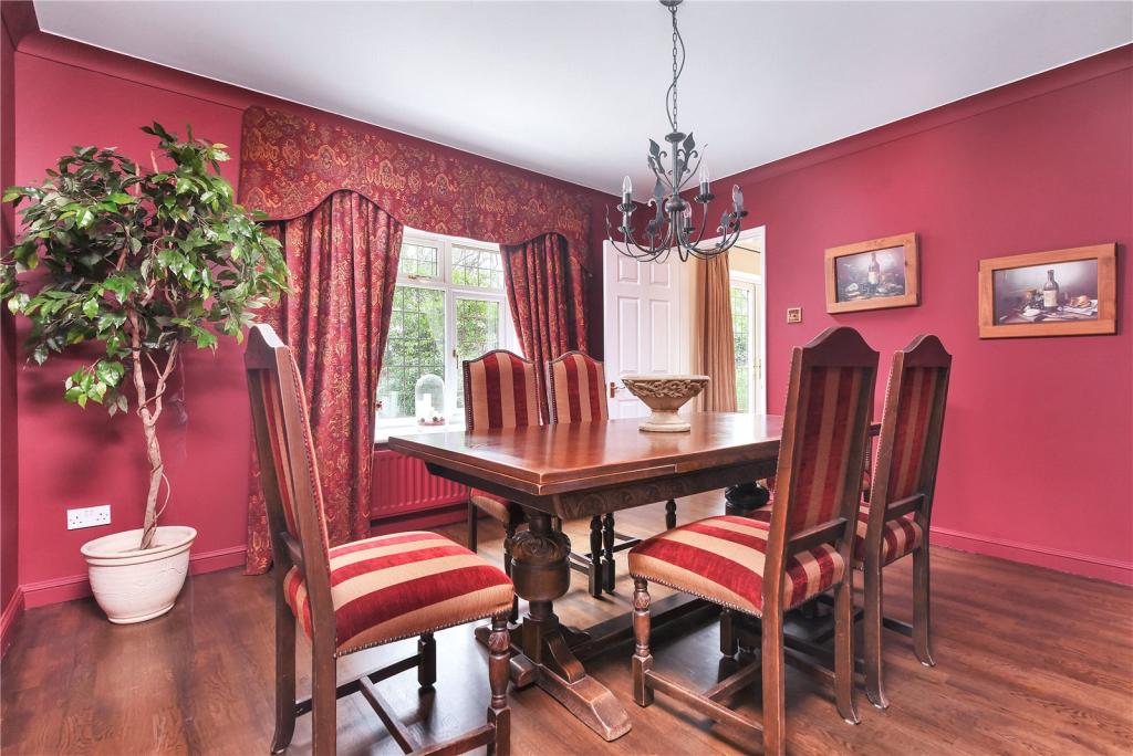
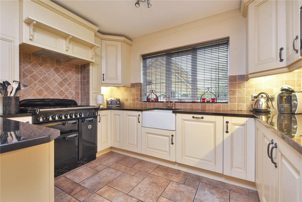
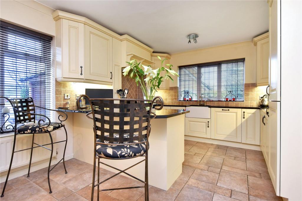
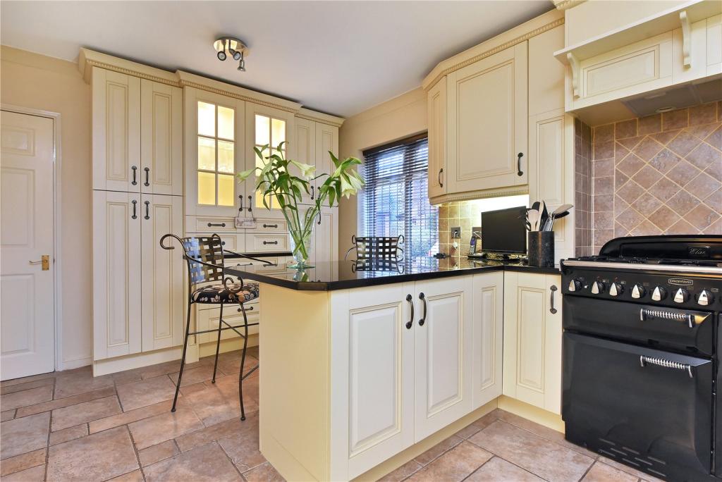
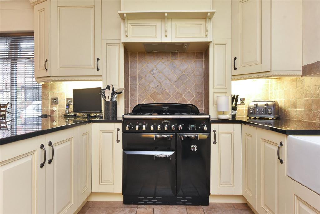
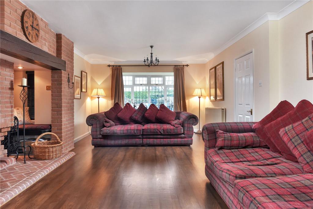
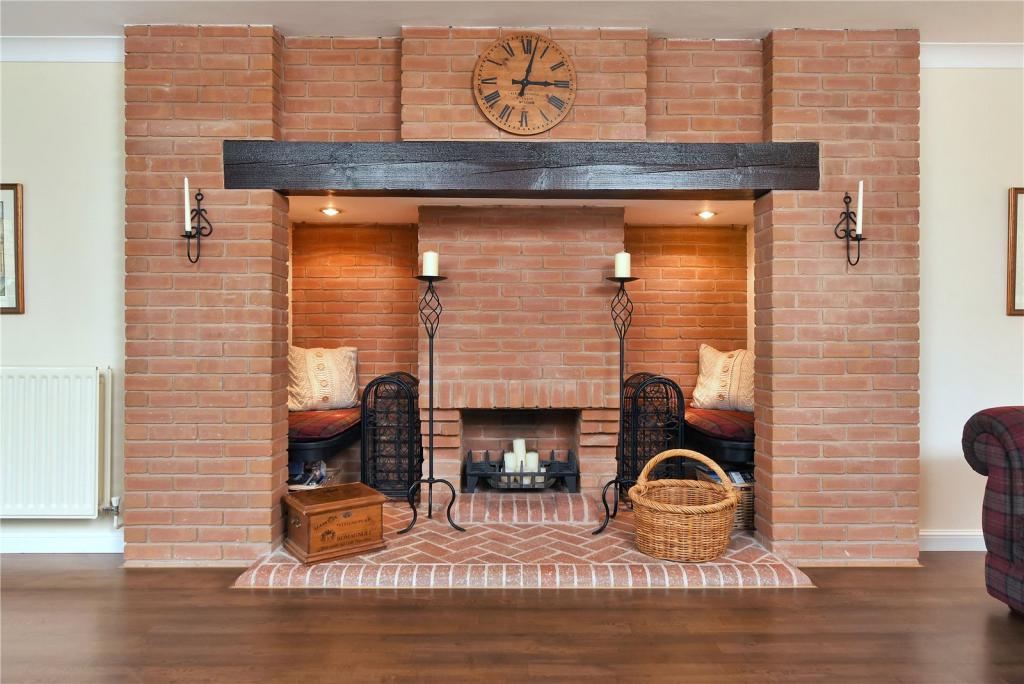
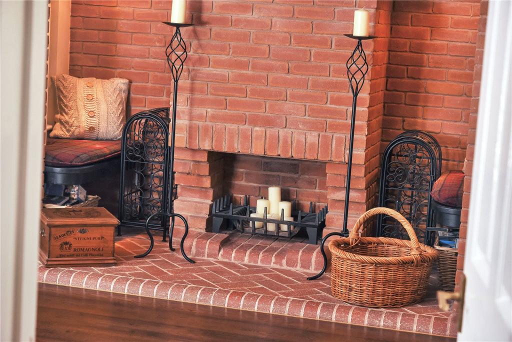
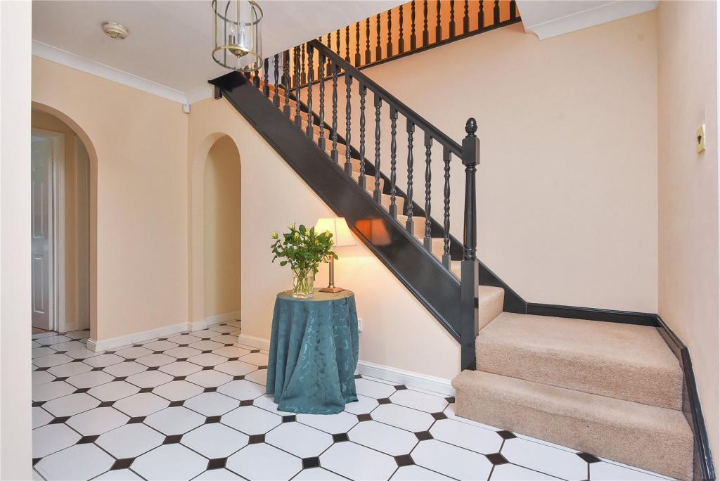
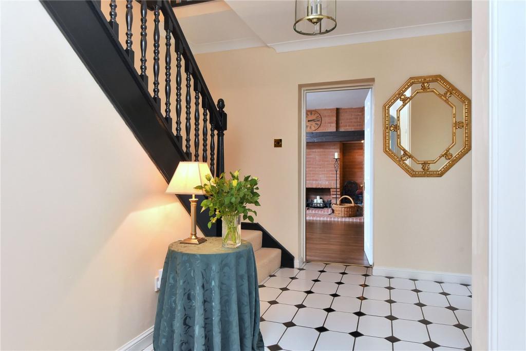
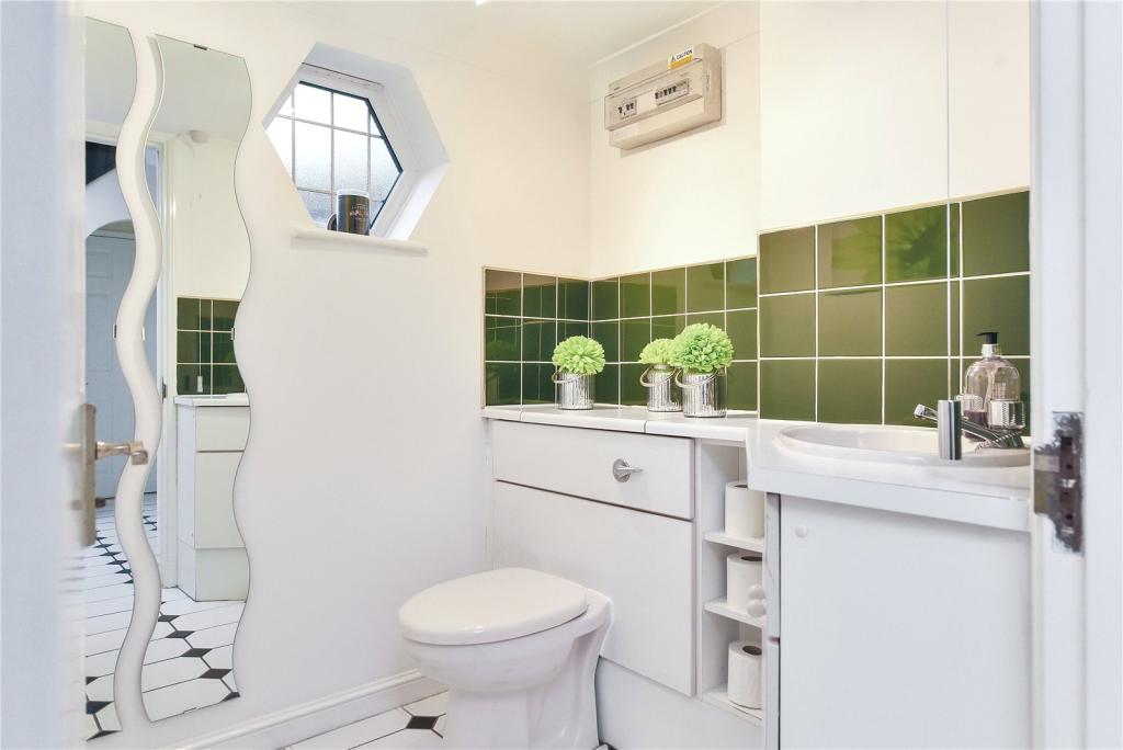
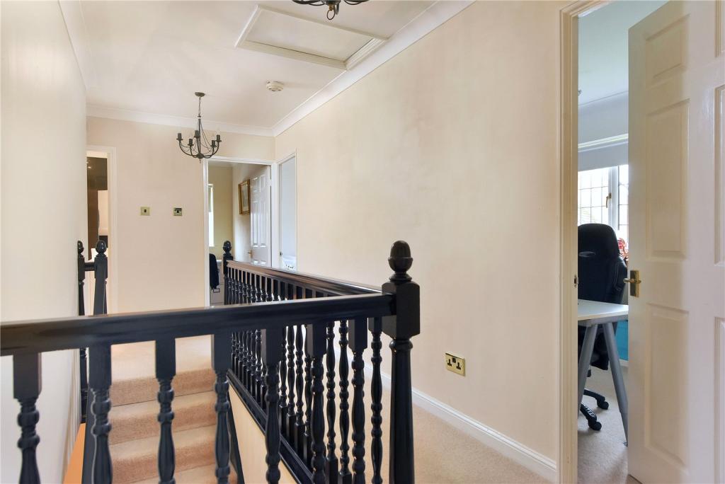
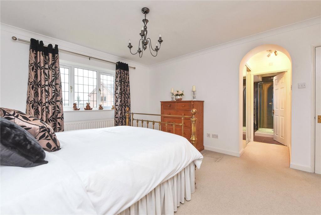
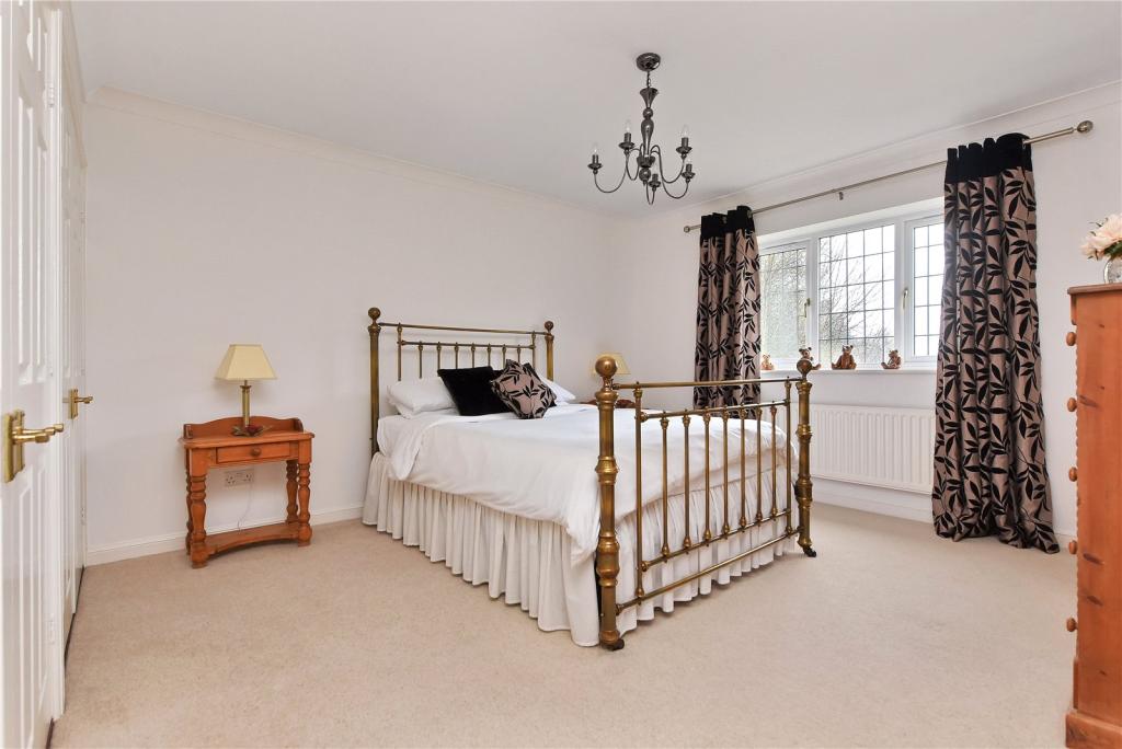
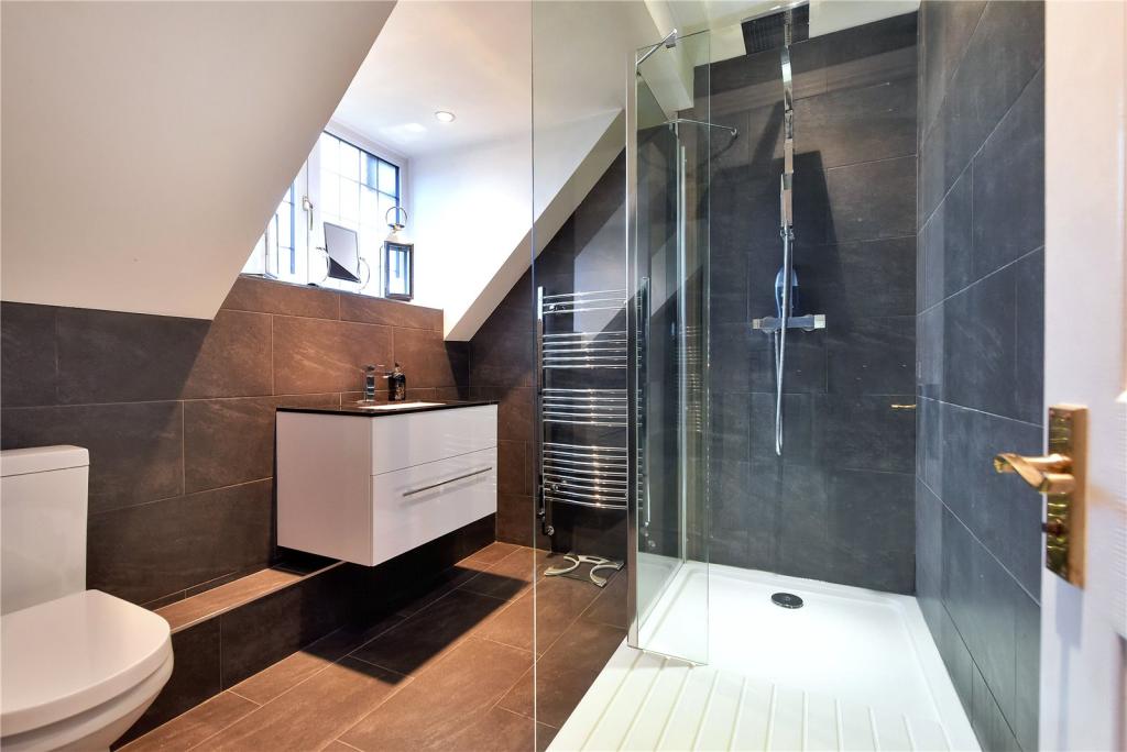
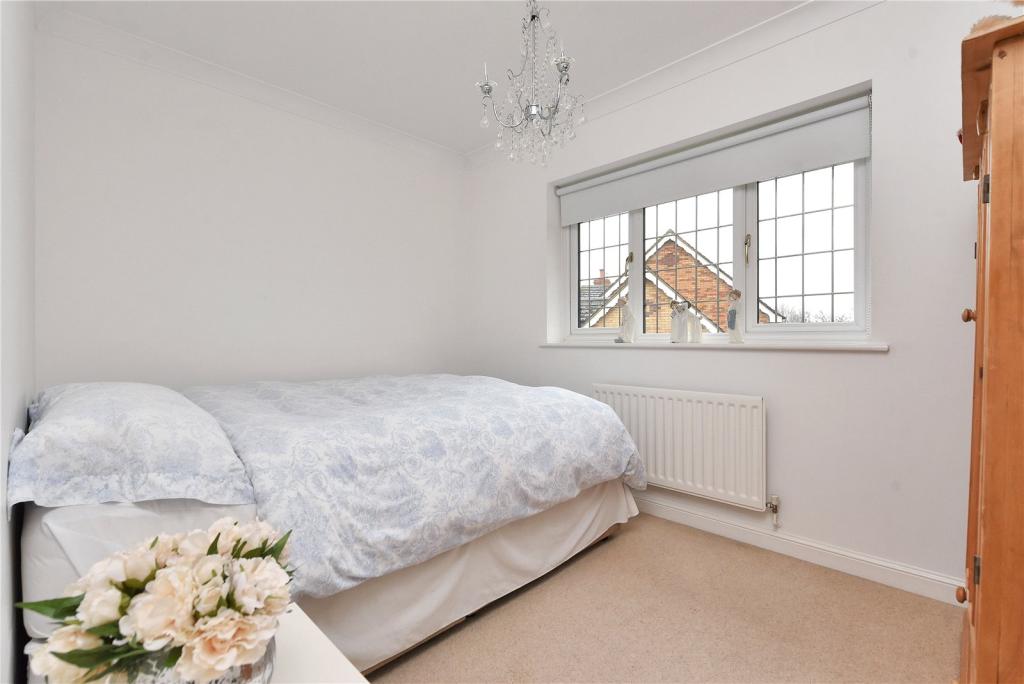
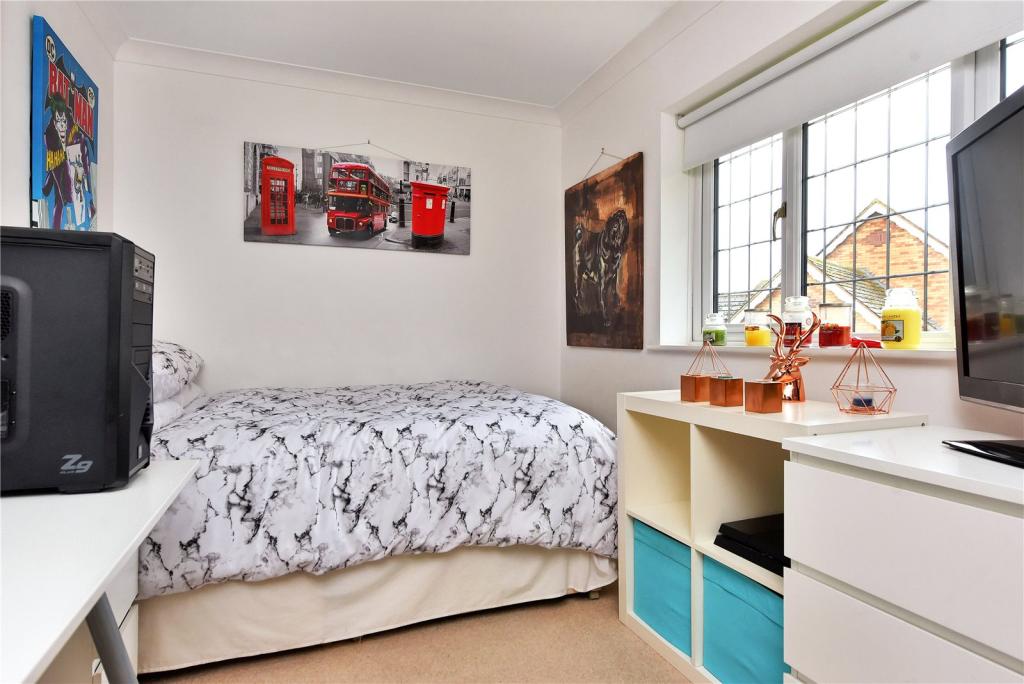
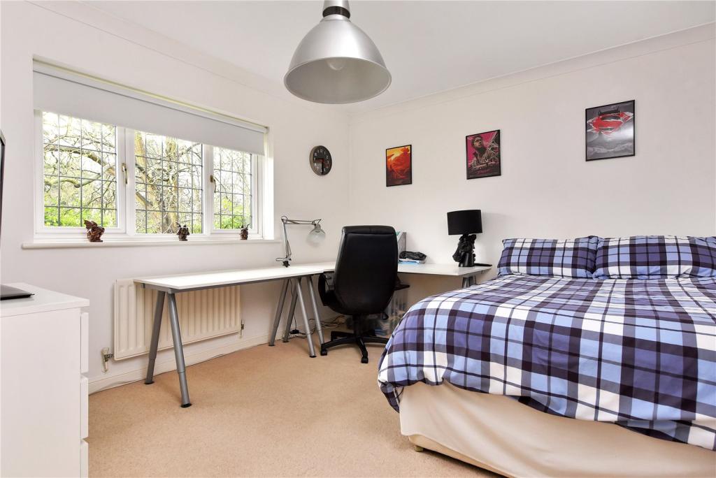
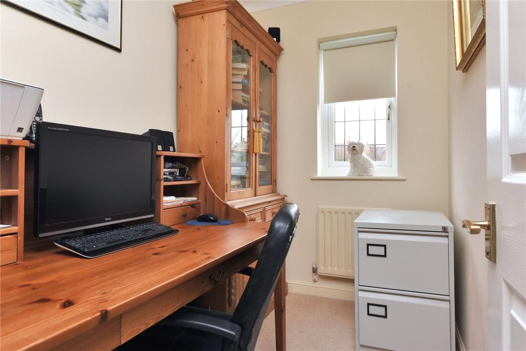
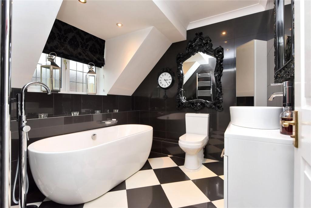
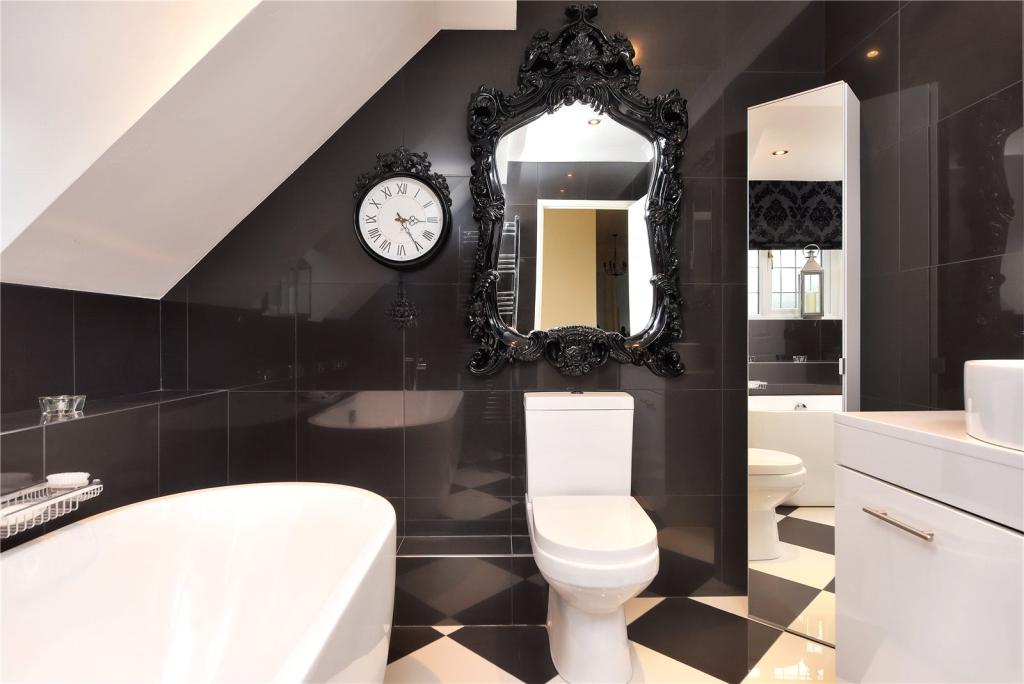
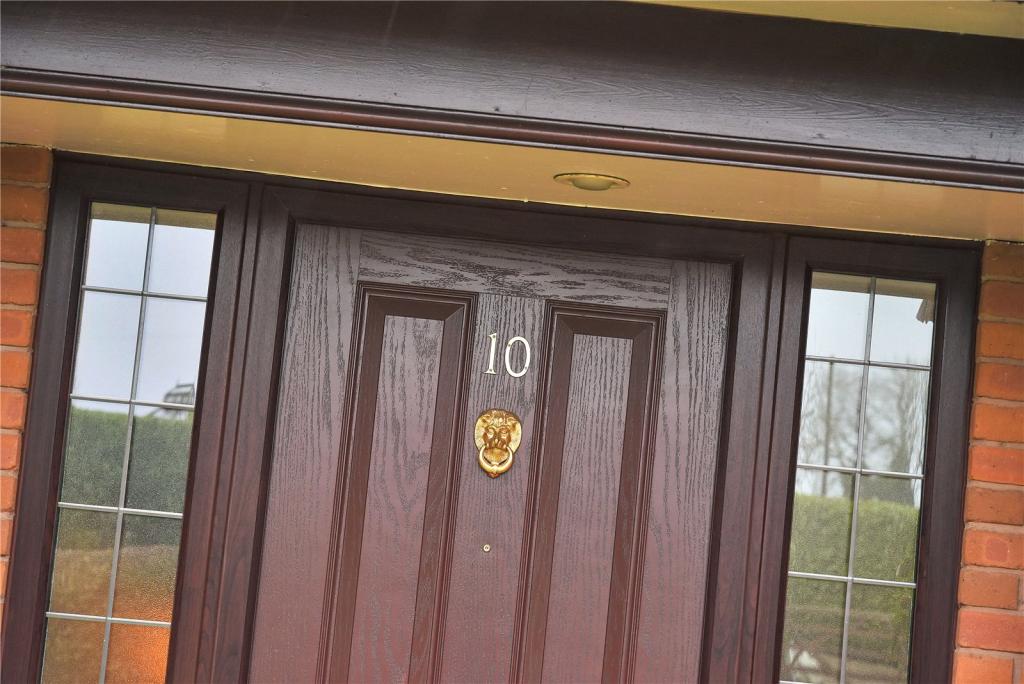
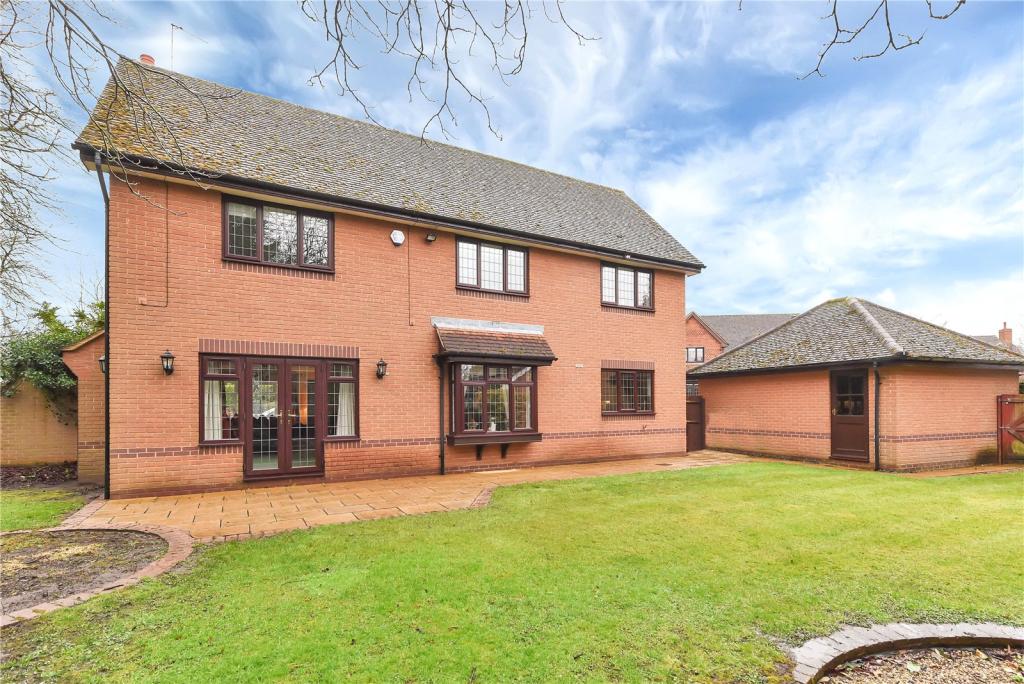
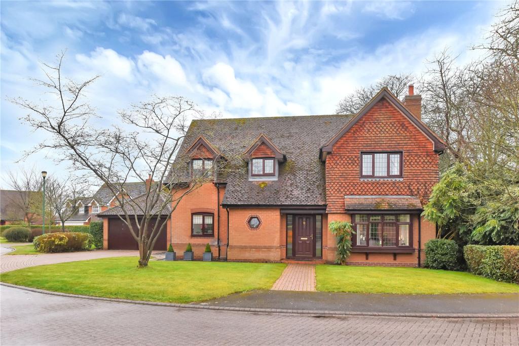
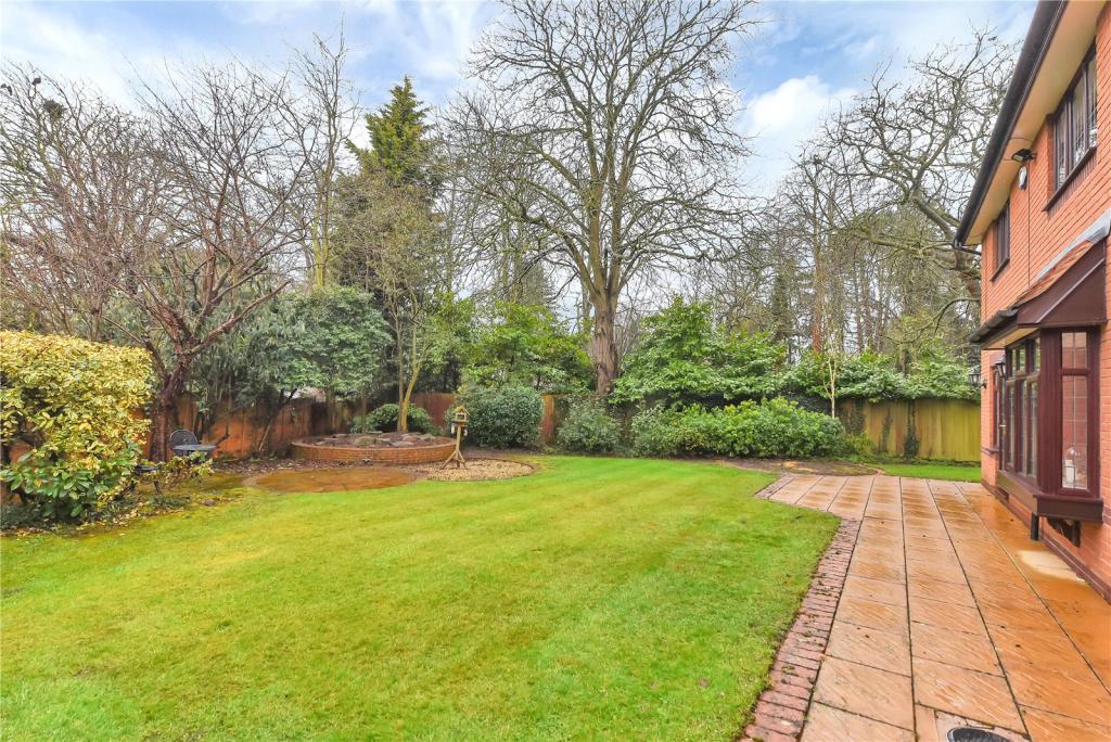
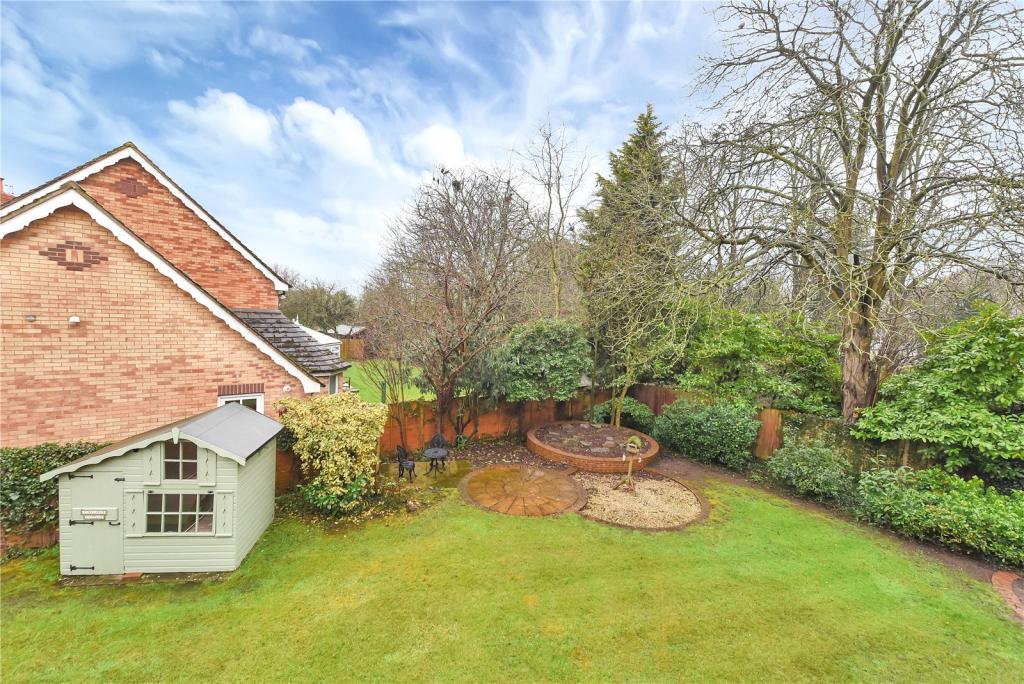
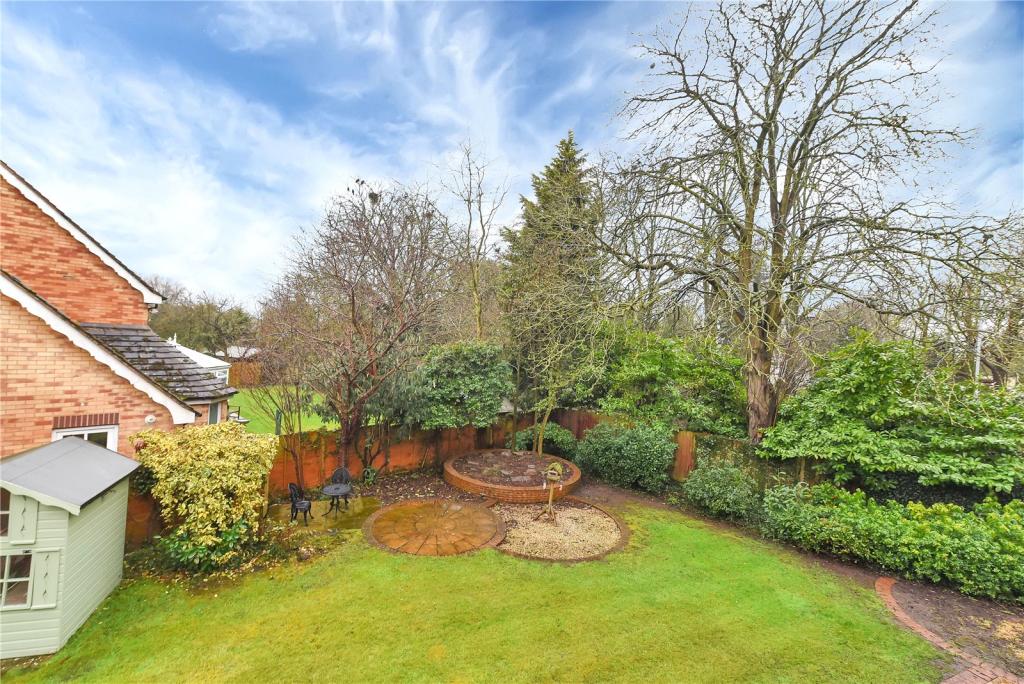
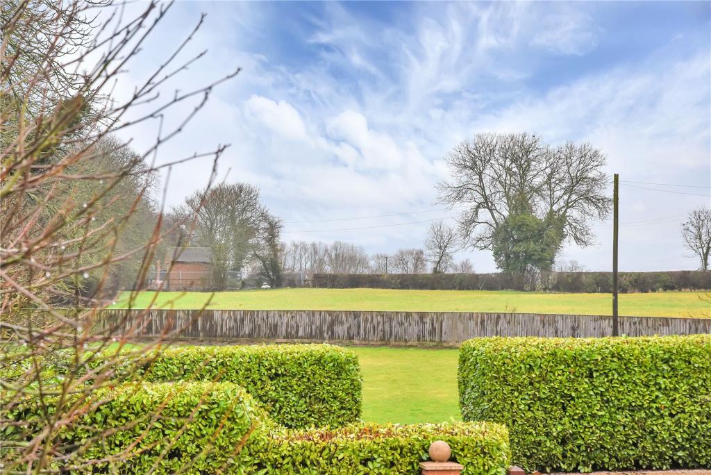
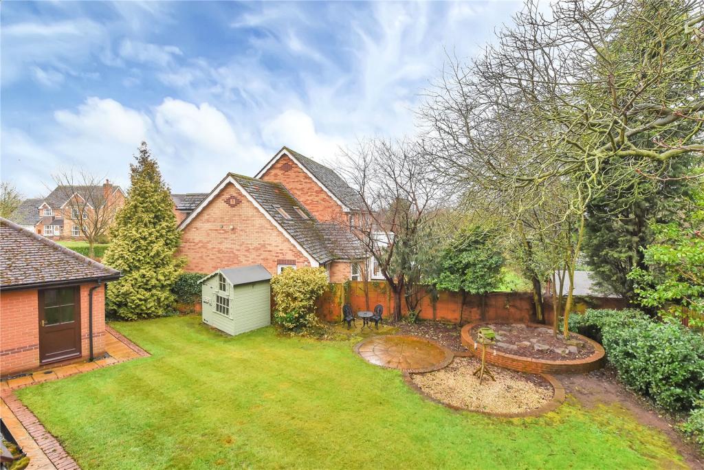
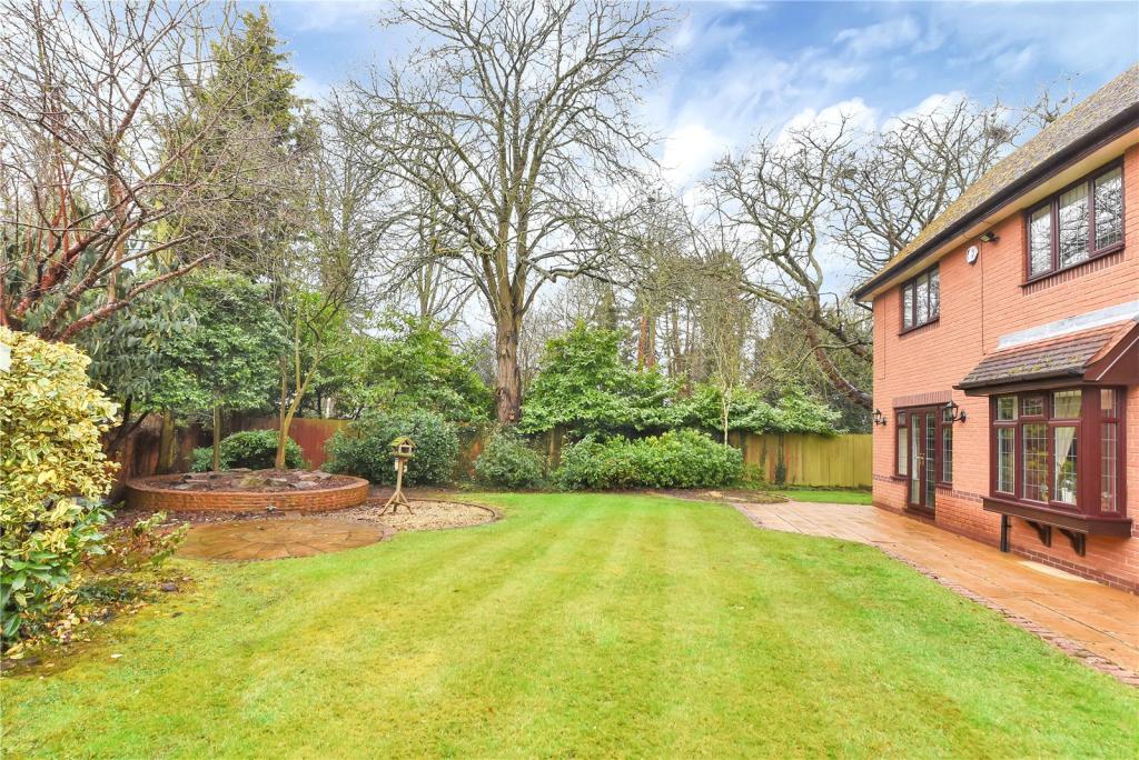
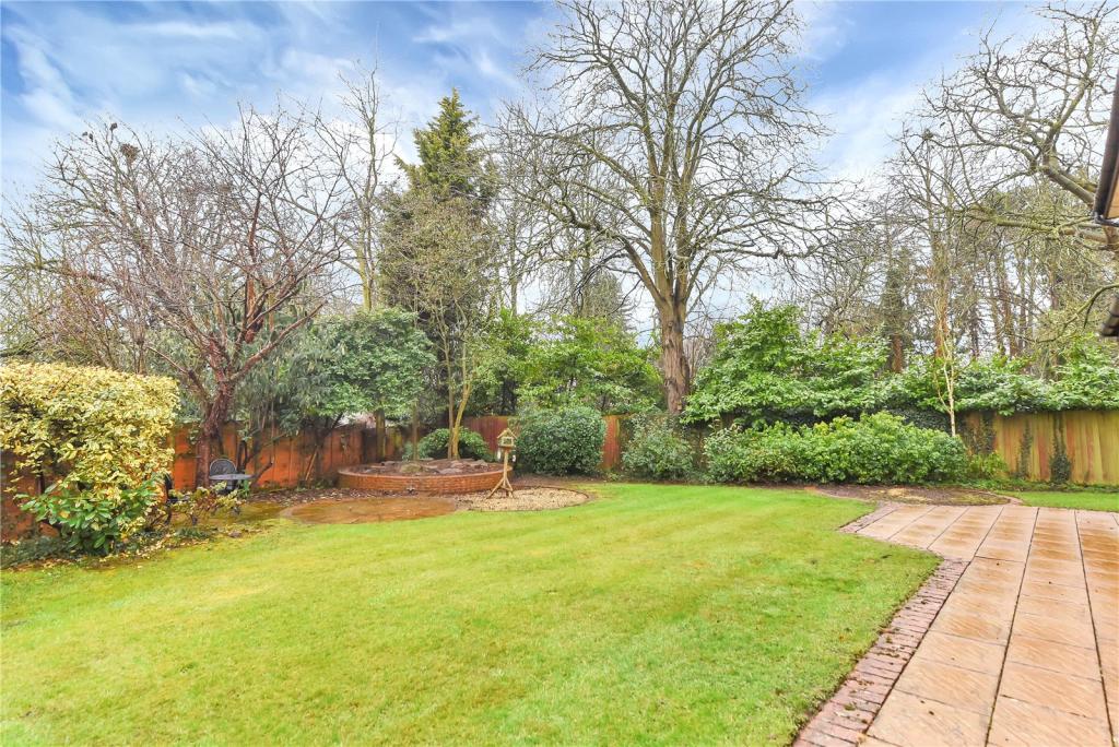
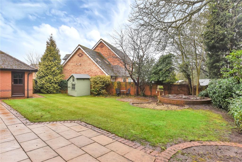
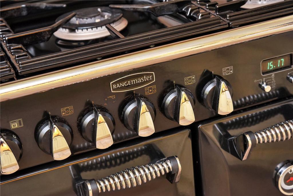
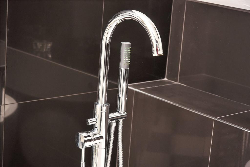
Front Elevation Lounge Dining Room Kitchen Area Breakfast Area Breakfast Kitchen Kitchen Area Lounge Picture 9 Picture 10 Entrance Hall Entrance Halle Cloakroom Landing Bedroom Bedroom En-Suite Shower Room Bedroom Bedroom Bedroom Study Bathroom Bathroom Picture 24 Rear Elevation Front Elevation Garden Garden Garden View Garden Garden Garden Patio/Garden Picture 35 Picture 36 Picture 37 Picture No. 38
/ 38
Property details
Floor area
170 m²
EPC rating
D
Last sold
£450,000 Jul 2018
Price per m²
£2,647/m²
Local average
£449,499 (+0.1%)
Deprivation
Decile 9 (28,348 of 33,755)
Street crime
0 incidents within 1 mile (May 2026)
Key features
- Attractive Detached Family Residence
- Energy Rating D
- No Upward Chain
- Exclusive Cul-de-sac Setting
- Immaculately Presented Throughout
- High Quality Refitted Breakfast Kitchen
- Lounge
- Dining Room
- Study
- Cloakroom & Utility Room
Description
Location
The village of Rempstone is set amongst open countryside in north Leicestershire. Everyday needs are catered for within the village whilst a comprehensive range of shopping and educational services are available at nearby Nottingham and Loughborough. Communications in the area are excellent with British Rail at Loughborough or Nottingham and the M1/M42 junction to the west. East Midlands Airport is also at junction 24 of the M1.
Directions
Listed by
Melton Mowbray
Bentons (Melton Mowbray) Ltd
Reference: 64555042
EPC Rating & Upgrade Cost
Current rating: D
Potential rating: C
Inspection date: 06/03/2018
Expiry date: 05/03/2028
Current heating cost: £1,291/year
Potential heating cost: £945/year
Est. upgrade cost to C: £19,555
Recommendations
- Floor insulation (solid floor) (£4,000 - £6,000)
- Low energy lighting for all fixed outlets (£55)
- Upgrade heating controls (£350 - £450)
- Replace boiler with new condensing boiler (£2,200 - £3,000)
- Solar water heating (£4,000 - £6,000)
- Solar photovoltaic panels, 2.5 kWp (£5,000 - £8,000)
Flood risk
Zone: 1
Risk: Low
Job (default Low)
Floorplans
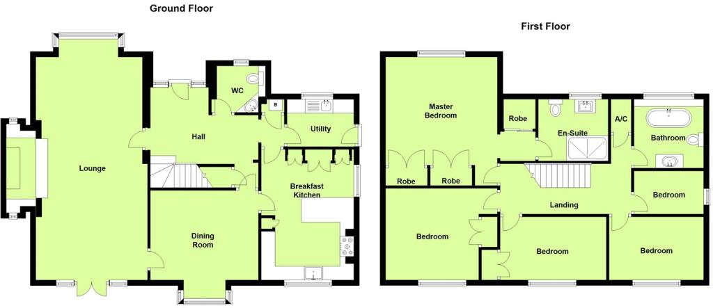
Floor Plan
EPC Graphs
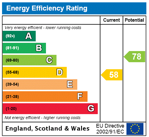
EPC Rating Graph
FENSA Certificates
This property has 1 FENSA certificate(s) on record, indicating window/door installations by FENSA-approved installers.
FENSA Certificate #9194844
Property Details
Street: 10 Kings Brook Close
Town: Rempstone
Postcode: LE12 6RR
Installation Details
Items: 19 windows and 3 doors
Certificate Issued: 22/05/2018
Work Completed: 29/10/2012
This certificate data was retrieved from FENSA's database
What is FENSA? FENSA (Fenestration Self-Assessment Scheme) is a government-authorised scheme that monitors building regulation compliance for replacement windows and doors. Certificates indicate that work was completed by FENSA-approved installers.
Price history
162% since 1999
| Event | Date | Price | % change |
|---|---|---|---|
| Sold | 27/07/2018 (8 years ago) | £450,000 | +161.6% |
| Sold | 23/09/1999 (26 years ago) | £172,000 | — |
Source: HM Land Registry Price Paid Data. Crown copyright.
Sold Comparables
Same street and nearby sales within 0.25 miles (last 5 years). Data from Land Registry Price Paid.
| Address | Price | Date | Type |
|---|---|---|---|
| 6 MAIN STREET, REMPSTONE, LOUGHBOROUGH, RUSHCLIFFE, NOTTINGHAMSHIRE, LE12 6RH | £335,000 | 14/11/2025 | Detached |
| 5 MAIN STREET, REMPSTONE, LOUGHBOROUGH, RUSHCLIFFE, NOTTINGHAMSHIRE, LE12 6RH | £375,000 | 28/11/2023 | Detached |
| 44 MAIN STREET, REMPSTONE, LOUGHBOROUGH, RUSHCLIFFE, NOTTINGHAMSHIRE, LE12 6RH | £370,000 | 02/06/2023 | Detached |
| 7 MAIN STREET, REMPSTONE, LOUGHBOROUGH, RUSHCLIFFE, NOTTINGHAMSHIRE, LE12 6RH | £418,000 | 13/10/2022 | Detached |
Area average: £374,500 (4 sales)
Capital growth trend
Land Registry outcode average: last 12 months vs 5y and 10y ago (from sold prices).
House Price Index (HM Land Registry — official index, not sold-price averages): Rushcliffe. Series: Detached. As of April 2026.
Rental Range
Estimated market rent for Rushcliffe. Low = conservative, Realistic = average, Optimistic = best case.
Based on Local Authority from postcode lookup → Rushcliffe.
LHA (30th percentile) floor for Leicester: £1,047/mo (Apr 2025 – Mar 2026)
Location
Nearby
Nearest stations, universities and amenities (distance from property).
| Type | Name | Distance |
|---|---|---|
| Bus stop | Ashby Road | 0.1 miles |
| Shop | G. G. Granvilles | 1.7 miles |
| Shop | Riseholme Feeds Country Store | 2.1 miles |
| Train station | Rushcliffe Halt | 2.5 miles |
| Train station | Loughborough | 3.2 miles |
| University | Loughborough University | 5.2 miles |
| University | Loughborough University Science and Enterprise Park | 5.8 miles |
| Hospital | NHS Treatment Centre | 8.9 miles |
| Hospital | Queens Medical Centre | 9.0 miles |
Street-level crime
| Category | Count |
|---|---|
| Total incidents | 0 |
Within 1 mile during May 2026. Source: data.police.uk (England & Wales).
Schools nearby
Nearest open schools with Ofsted ratings (England). Closed schools are not shown. Data from Get Information about Schools and Ofsted.
| Name | Type | Distance | Ofsted |
|---|---|---|---|
| Costock CofE Primary School | Primary | 1.2 miles | — (Inspected (no overall grade)) |
| Millside Spencer Academy | Primary | 1.6 miles | — (No rating) |
| Brookside Primary School | Primary | 1.7 miles | Good — 12 Dec 2014 |
| Wymeswold Church of England Primary School | Primary | 1.8 miles | Good — 20 Dec 2018 |
| East Leake Academy | Secondary | 1.9 miles | — (Inspected (no overall grade)) |
Rental Comparables
Loading rental comparables for this postcode. Refresh in a few minutes.
Rent-driven metrics
Based on Area rent estimate.
- Rent ratio — Monthly rent ÷ purchase price (1% rule). 1%+ = strong, 0.8–1% = okay, <0.8% = weak for cashflow.
- Max investor price — Rent ÷ 0.8%; the price at which rent would be 0.8% of price (Stoke-style target).
- Target investor price — Rent ÷ 1%; the price at which rent would be 1% of price (strong cashflow band).
- Gross yield — Annual rent as % of purchase price (no costs).