Wa14 4Az
WA14 4AZ
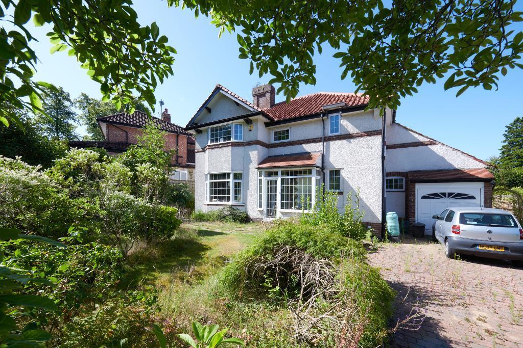
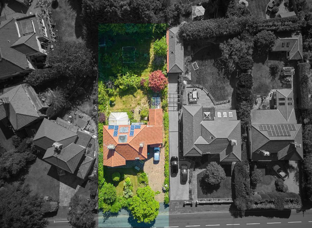
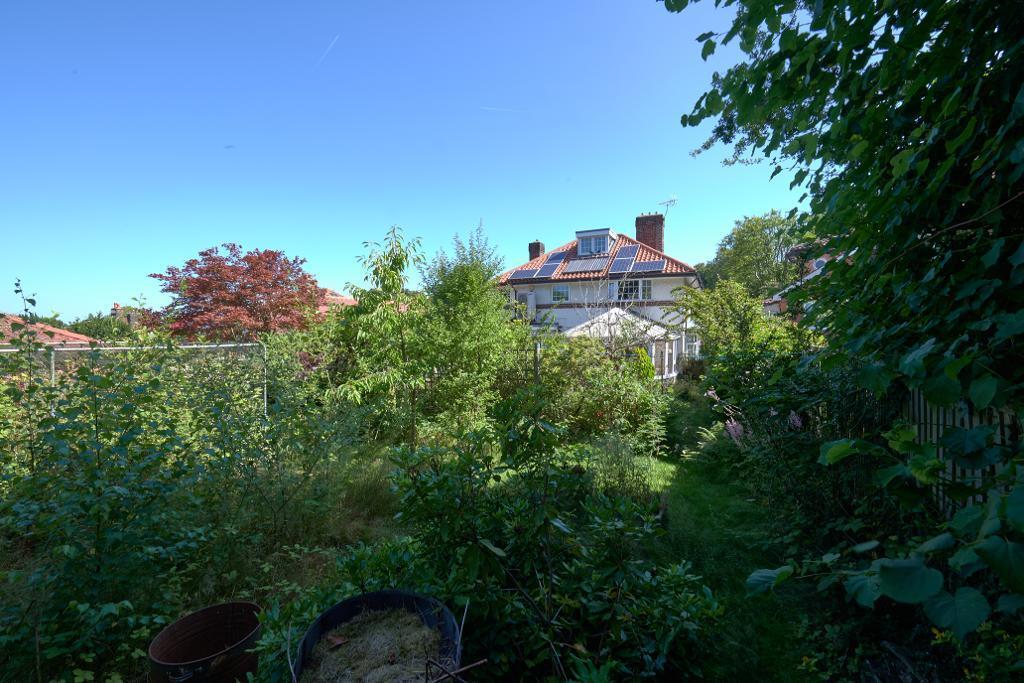
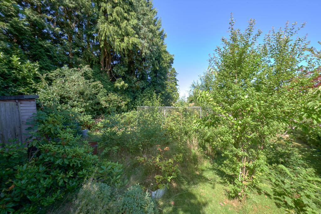
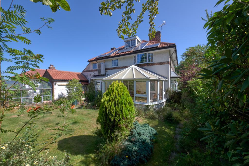
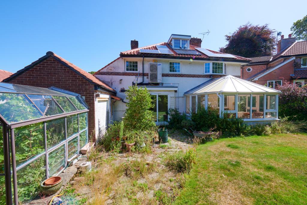
Photo 1 Photo 2 Photo 3 Photo 4 Photo 5 Photo 6 Photo 7 Photo 8 Photo 9 Photo 10 Photo 11 Photo 12 Photo 13 Photo 14 Photo 15 Photo 16 Photo 17 Photo 18 Photo 19 Photo 20
/ 20
Property details
Tenure
FREEHOLD
Council tax band
TBC
Deprivation
Decile 9 (28,797 of 33,755)
EPC ratings on this postcode
We don't have a matched EPC for this property yet. Below are efficiency scores and details for other addresses on this postcode.
| Address | Current | Potential | Floor area | Age band | Type |
|---|---|---|---|---|---|
| 10 Hartley Road, ALTRINCHAM | 69 | 75 | 256 m² | England and Wales: 1900-1929 | Detached |
| 10, Hartley Road | 64 | 72 | 272 m² | England and Wales: 1900-1929 | House |
| 10, Hartley Road | 63 | 71 | 272 m² | England and Wales: 1900-1929 | House |
| 12 HARTLEY ROAD, ALTRINCHAM | 53 | 75 | 215 m² | England and Wales: 1900-1929 | House |
| 12 HARTLEY ROAD, ALTRINCHAM, ALTRINCHAM | 53 | 75 | 215 m² | England and Wales: 1900-1929 | Detached |
| 15, Hartley Road | 65 | 73 | 227 m² | England and Wales: 1930-1949 | House |
| 15, Hartley Road, ALTRINCHAM | 65 | 73 | 227 m² | England and Wales: 1930-1949 | Detached |
| 16, Hartley Road | 51 | 73 | 265 m² | England and Wales: 1900-1929 | House |
| 16, Hartley Road, ALTRINCHAM | 51 | 73 | 265 m² | England and Wales: 1900-1929 | Detached |
| 17, Hartley Road | 65 | 79 | 210 m² | England and Wales: 1900-1929 | House |
| 17, Hartley Road, ALTRINCHAM | 65 | 79 | 210 m² | England and Wales: 1900-1929 | Detached |
| 18 Hartley Road, ALTRINCHAM | 50 | 66 | 144 m² | England and Wales: 1930-1949 | Detached |
| 18, Hartley Road | 72 | 77 | 145 m² | England and Wales: 1900-1929 | House |
| 18, Hartley Road | 62 | 77 | 145 m² | England and Wales: 1900-1929 | House |
| 18, Hartley Road, ALTRINCHAM | 72 | 77 | 145 m² | England and Wales: 1900-1929 | Detached |
Flood risk
Zone: 1
Risk: Low
Not in Flood Risk Area (no data)
Floorplans
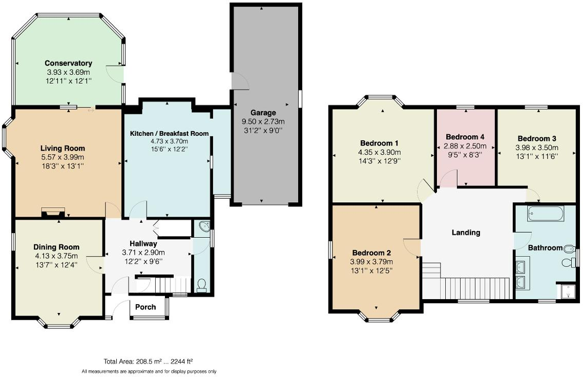
Floorplan 1
Price history
No sales history found for this property in Land Registry Price Paid data.
Sold Comparables
Same street and nearby sales within 0.25 miles (last 5 years). Data from Land Registry Price Paid.
| Address | Price | Date | Type |
|---|---|---|---|
| 19 HARTLEY ROAD, ALTRINCHAM, TRAFFORD, GREATER MANCHESTER, WA14 4AZ | £1,000,000 | 26/10/2022 | Detached |
Area average: £1,000,000 (1 sale)
Capital growth trend
Land Registry outcode average: last 12 months vs 5y and 10y ago (from sold prices).
House Price Index (HM Land Registry — official index, not sold-price averages): Trafford. Series: All dwelling types. As of March 2026.
Rental Range
Estimated market rent for Trafford. Low = conservative, Realistic = average, Optimistic = best case.
Based on Local Authority from postcode lookup → Trafford.
LHA (30th percentile) floor for Southern Greater Manchester: £1,396/mo (Apr 2025 – Mar 2026)
Location
Nearby
Nearest stations, universities and amenities (distance from property).
| Type | Name | Distance |
|---|---|---|
| Bus stop | John Leigh Park, Oldfield Road / near Hartley Road | 0.1 miles |
| Bus stop | John Leigh Park, Oldfield Road / opposite Hartley Road | 0.1 miles |
| Shop | Spar | 0.3 miles |
| Shop | Kwik Fit | 0.3 miles |
| Hospital | Altrincham Health and Wellbeing Centre | 0.4 miles |
| Hospital | Altrincham Hospital | 0.5 miles |
| Train station | Altrincham | 0.5 miles |
| Train station | Navigation Road | 0.7 miles |
| University | University Academy 92 | 5.6 miles |
Street-level crime
Crime data is not yet available for this property.
Rental Comparables
Loading rental comparables for this postcode. Refresh in a few minutes.
Enter House Number
Enter the house number to help us retrieve more accurate pricing history and property data.
Please log in to submit or correct the house number for this listing.
Log in to continue