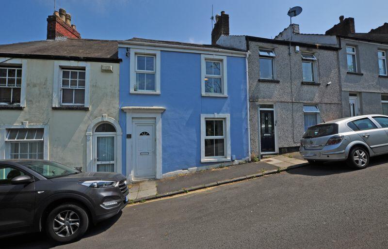
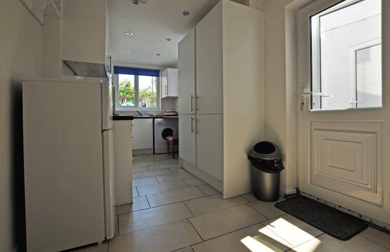
6 ALBERT TERRACE
NEWPORT, NEWPORT NP20 4BS
£175,000

Property details
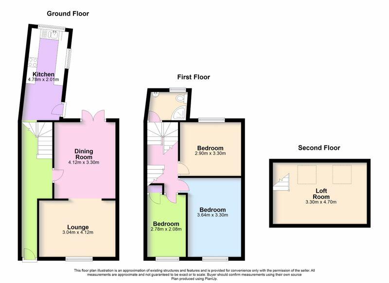
Floor area
97 m²
Last sold
£168,000 Dec 2023
Local average
£189,385 (-7.6%)
Street crime
2 incidents within 1 mile (Mar 2026)
Key features
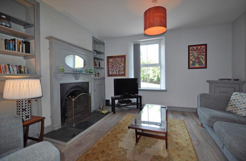
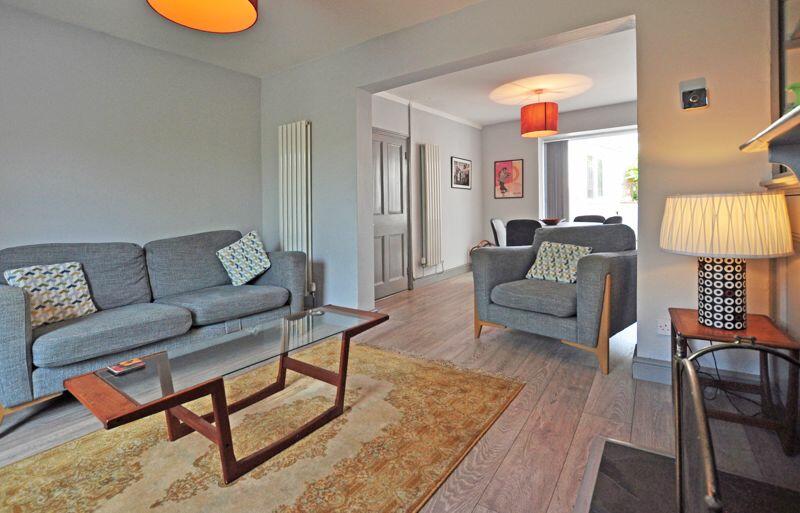
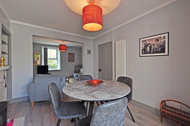
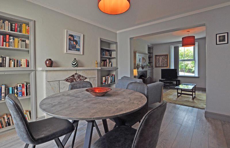
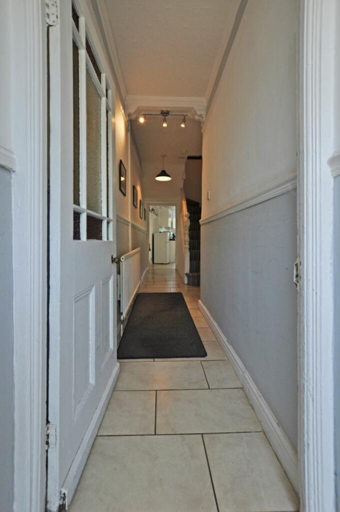
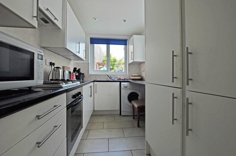
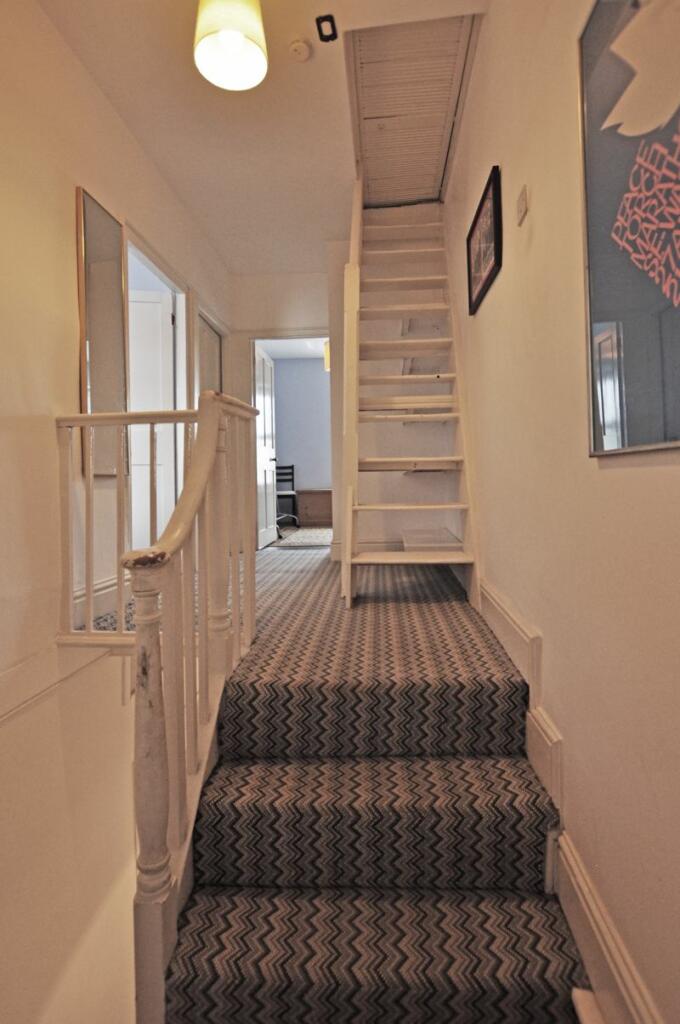
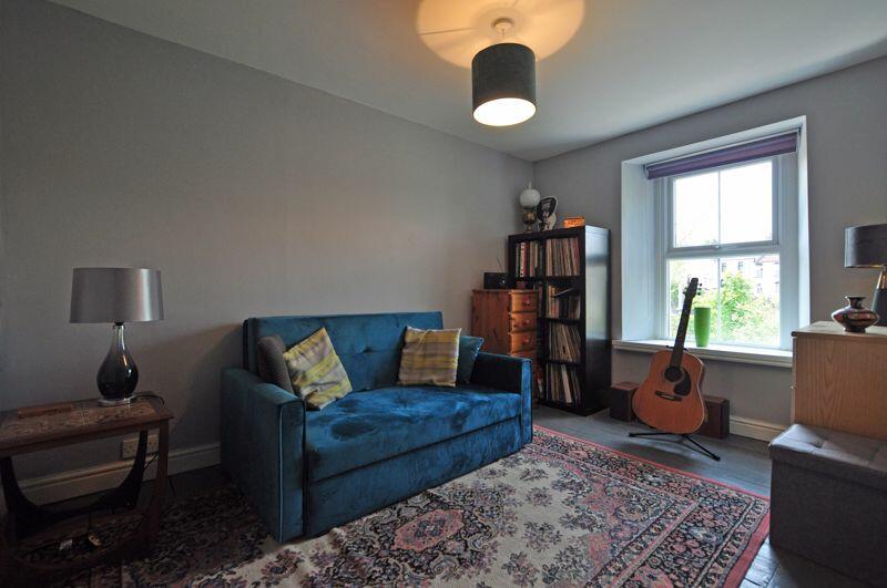
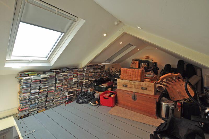
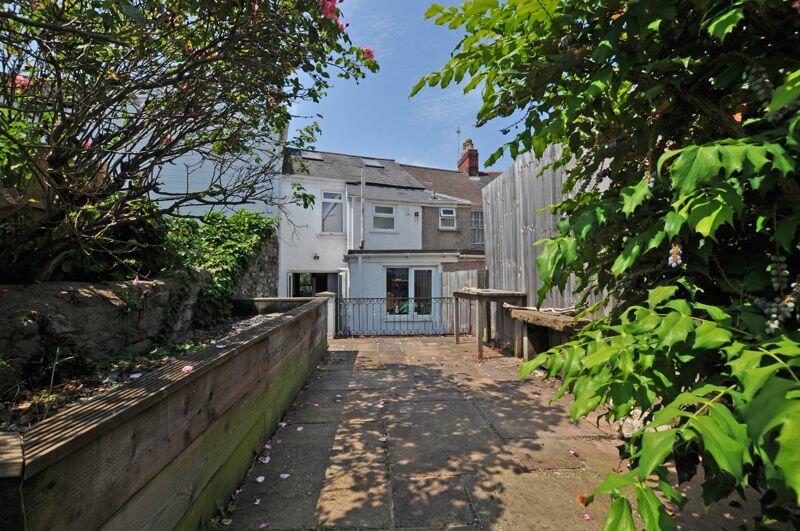
- PERIOD TERRACE PROPERTY
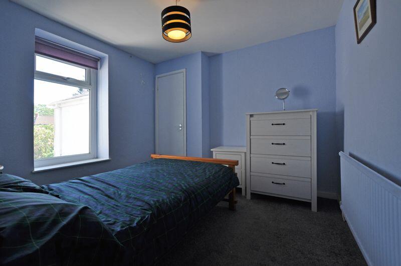
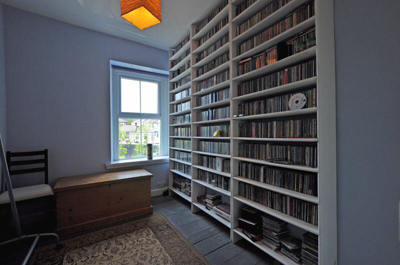
- THREE BEDROOM
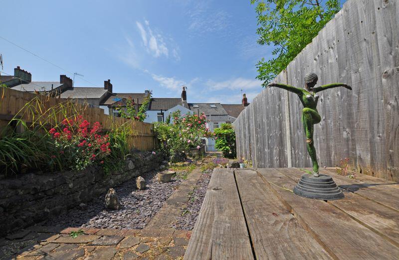
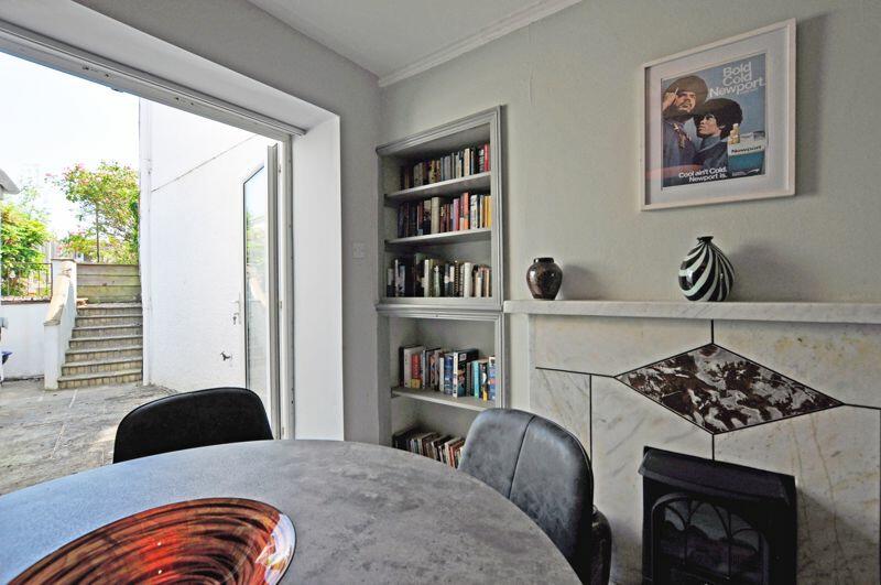
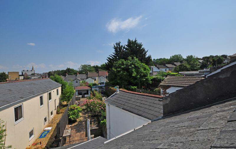
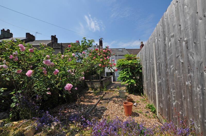
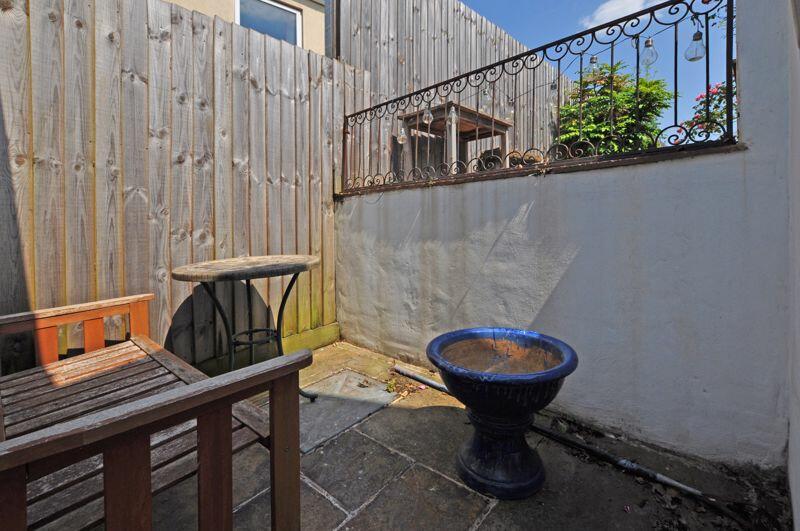
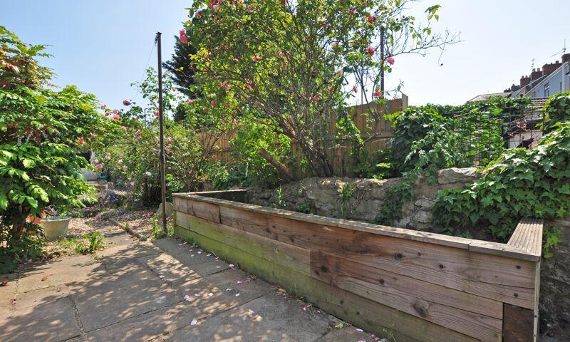
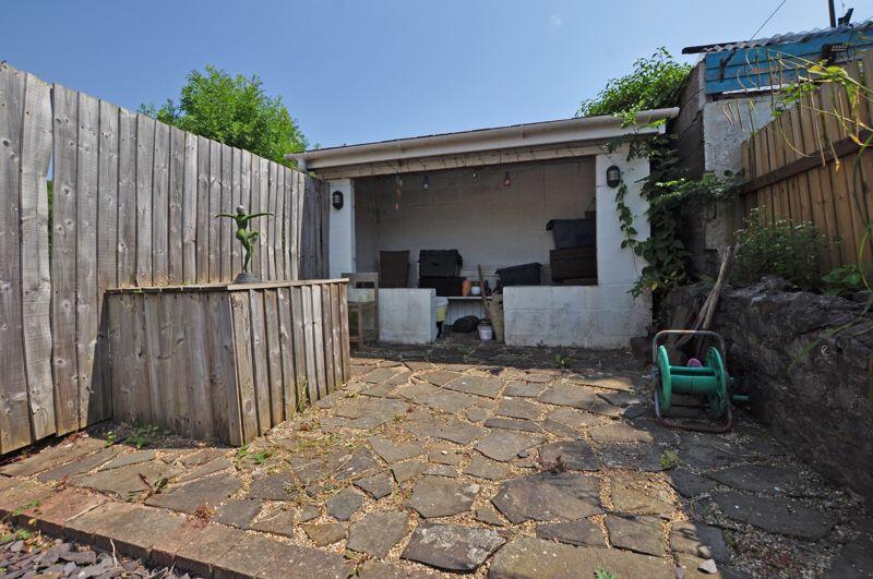
- INVITING GARDEN
- WALKING DISTANCE TO CITRY CENTRE AND TRAIN STATION
- SHORT DRIVE TO M4
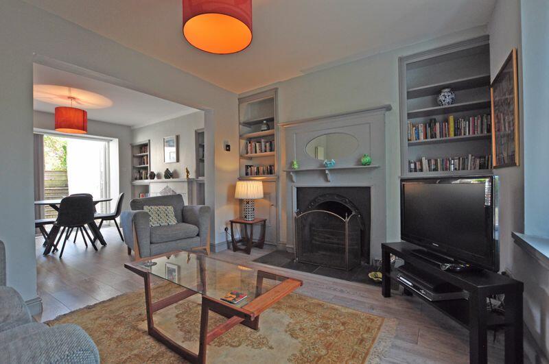
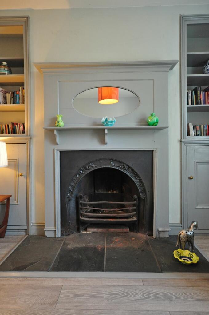
- PERIOD FEATURES
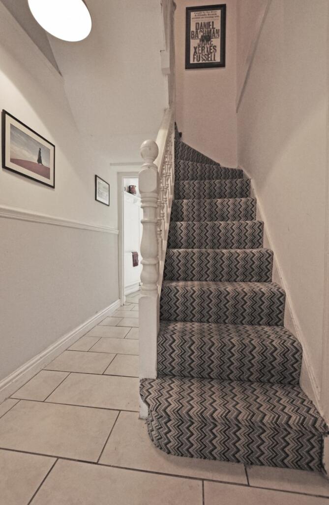
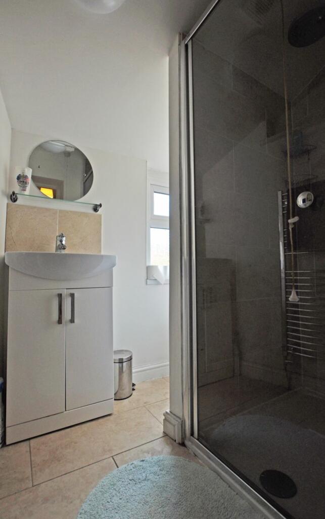
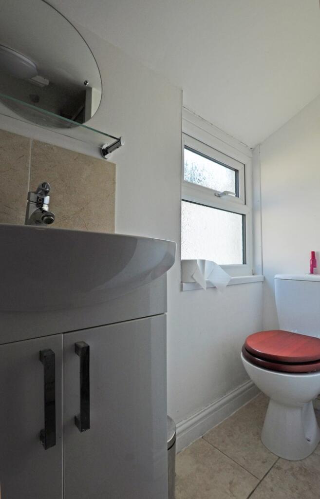
- FIRST FLOOR BATHROOM
Additional details
- Garden
- Yes
Description
Listed by
Newport
Crook & Blight
Reference: 136982489
EPC Rating & Upgrade Cost
Fetching EPC data… Refresh this page in a moment.
Flood risk
Zone: 1
Risk: Low
Job (default Low)
Floorplans
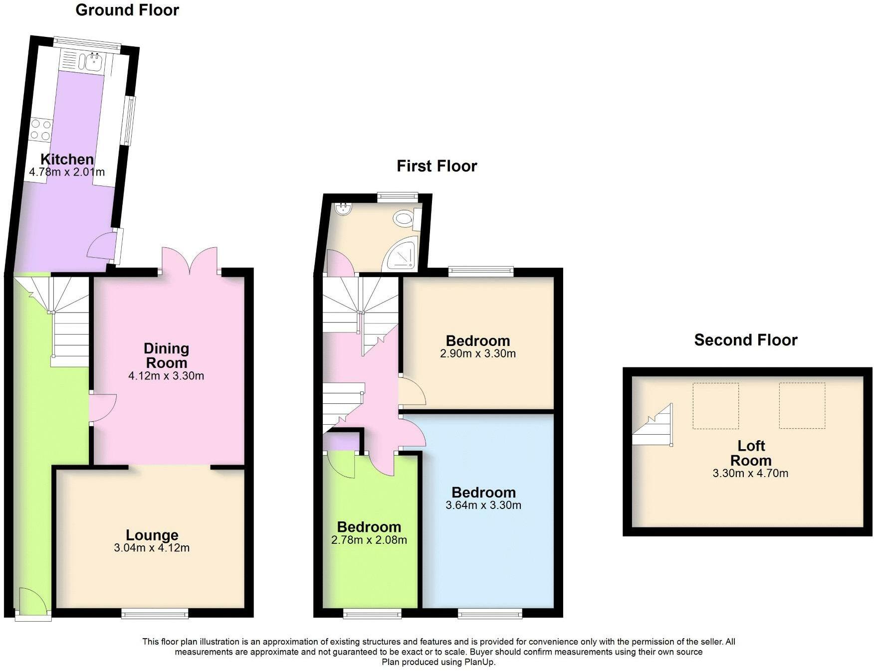
Floorplan 1
Price history
| Event | Date | Price | % change |
|---|---|---|---|
| Sold | 19/12/2023 (2 years ago) | £168,000 | — |
Source: HM Land Registry Price Paid Data. Crown copyright.
Sold Comparables
Same street and nearby sales within 0.25 miles (last 5 years). Data from Land Registry Price Paid.
| Address | Price | Date | Type |
|---|---|---|---|
| 17 TUNNEL TERRACE, NEWPORT, NP20 4BT | £198,000 | 26/11/2025 | Terraced |
| 5 FORD STREET, NEWPORT, NP20 4BU | £165,000 | 01/09/2025 | Terraced |
| 32 BLEWITT STREET, NEWPORT, NP20 4DA | £166,000 | 25/07/2025 | Terraced |
| 4 EAST STREET, NEWPORT, NP20 4BR | £140,000 | 09/12/2024 | Terraced |
| Same street 19 ALBERT TERRACE, NEWPORT, NP20 4BS | £105,000 | 19/10/2023 | Terraced |
| Same street 2 ALBERT TERRACE, NEWPORT, NP20 4BS | £130,000 | 16/03/2023 | Terraced |
| Same street 3 ALBERT TERRACE, NEWPORT, NP20 4BS | £130,000 | 16/02/2023 | Terraced |
| 66 BLEWITT STREET, NEWPORT, NP20 4DB | £152,500 | 20/12/2022 | Terraced |
| 24 BLEWITT STREET, NEWPORT, NP20 4DA | £225,000 | 08/12/2022 | Terraced |
| 70 BLEWITT STREET, NEWPORT, NP20 4DB | £225,000 | 15/09/2022 | Terraced |
| 71 BLEWITT STREET, NEWPORT, NP20 4DB | £130,050 | 17/08/2022 | Terraced |
| Same street 1 ALBERT TERRACE, NEWPORT, NP20 4BS | £140,000 | 03/08/2022 | Semi-detached |
| 23 BLEWITT STREET, NEWPORT, NP20 4DB | £206,000 | 01/08/2022 | Terraced |
| 17 EAST STREET, NEWPORT, NP20 4BR | £165,000 | 17/06/2022 | Terraced |
| 13 BLEWITT STREET, NEWPORT, NP20 4DB | £146,500 | 19/05/2022 | Terraced |
| 5 TUNNEL TERRACE, NEWPORT, NP20 4BT | £210,000 | 18/03/2022 | Terraced |
| 73 BLEWITT STREET, NEWPORT, NP20 4DB | £182,500 | 04/02/2022 | Terraced |
| 33 BLEWITT STREET, NEWPORT, NP20 4DA | £158,000 | 11/11/2021 | Terraced |
| 7 EAST STREET, NEWPORT, NP20 4BR | £138,000 | 03/11/2021 | Terraced |
| 11 TUNNEL TERRACE, NEWPORT, NP20 4BT | £150,000 | 15/10/2021 | Terraced |
| Same street 23 ALBERT TERRACE, NEWPORT, NP20 4BS | £136,000 | 06/08/2021 | Terraced |
| 7 FORD STREET, NEWPORT, NP20 4BU | £169,950 | 29/07/2021 | Terraced |
| 13 EAST STREET, NEWPORT, NP20 4BR | £140,000 | 26/07/2021 | Terraced |
| 30 BLEWITT STREET, NEWPORT, NP20 4DA | £118,000 | 04/06/2021 | Terraced |
Street average: £128,200 (5 sales)
Area average: £167,658 (19 sales)
Capital growth trend
Land Registry outcode average: last 12 months vs 5y and 10y ago (from sold prices).
House Price Index (HM Land Registry — official index, not sold-price averages): Newport. Series: Terraced. As of February 2026.
Rental Range
Estimated market rent for Newport. Low = conservative, Realistic = average, Optimistic = best case.
Based on Local Authority from postcode lookup → Newport.
Location
Nearby
Nearest stations, universities and amenities (distance from property).
| Type | Name | Distance |
|---|---|---|
| Shop | Unknown | 0.1 miles |
| Bus stop | Civic Centre Btm Car Park | 0.1 miles |
| Train station | Newport | 0.2 miles |
| Bus stop | Queensway Q8 | 0.2 miles |
| University | National Software Academy (Cardiff University) | 0.3 miles |
| University | University of South Wales (Newport City Campus) | 0.5 miles |
| Hospital | Minor Injuries Unit | 0.5 miles |
| Train station | Pye Corner | 1.7 miles |
| Hospital | St Anne's Hospice | 2.2 miles |
Street-level crime
| Category | Count |
|---|---|
| Shoplifting | 1 |
| Violence and sexual offences | 1 |
| Total incidents | 2 |
Within 1 mile during Mar 2026. Source: data.police.uk (England & Wales).
Schools nearby
Nearest open schools with Ofsted ratings (England). Closed schools are not shown. Data from Get Information about Schools and Ofsted.
| Name | Type | Distance | Ofsted |
|---|---|---|---|
| St Woolos Primary School | Other | 0.2 miles | — (No rating) |
| St Mary's R.C. Primary School | Other | 0.3 miles | — (No rating) |
| Maindee C.P. School | Other | 0.5 miles | — (No rating) |
| Pillgwenlly C.P. School | Other | 0.7 miles | — (No rating) |
| Newport Nursery School | Other | 0.9 miles | — (No rating) |
Rental Comparables
Loading rental comparables for this postcode. Refresh in a few minutes.
Rent-driven metrics
Based on Area rent estimate.
- Rent ratio — Monthly rent ÷ purchase price (1% rule). 1%+ = strong, 0.8–1% = okay, <0.8% = weak for cashflow.
- Max investor price — Rent ÷ 0.8%; the price at which rent would be 0.8% of price (Stoke-style target).
- Target investor price — Rent ÷ 1%; the price at which rent would be 1% of price (strong cashflow band).
- Gross yield — Annual rent as % of purchase price (no costs).