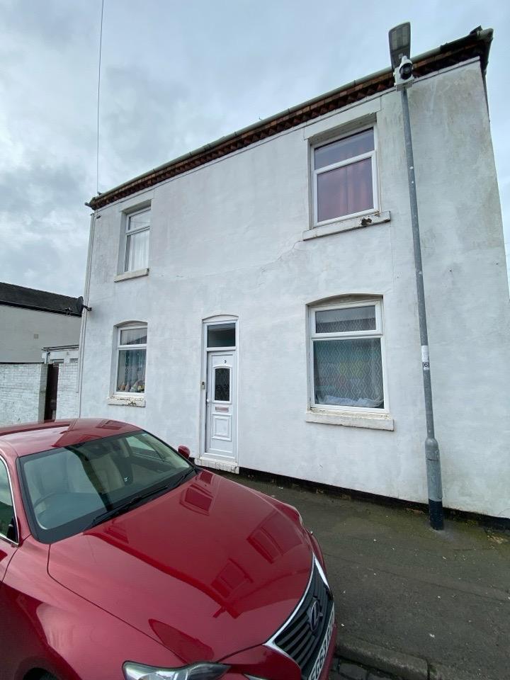
9 PORTLAND STREET
STOKE-ON-TRENT, STOKE-ON-TRENT ST1 5HZ
£700 pcm

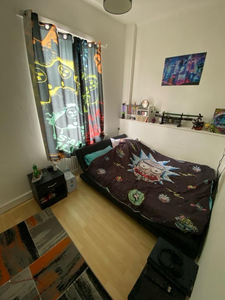
WhatsApp Image 2026-02-20 at 14.28.12.jpeg WhatsApp Image 2026-02-20 at 14.28.121.jpeg WhatsApp Image 2026-02-20 at 14.28.122.jpeg WhatsApp Image 2026-02-20 at 14.28.123.jpeg WhatsApp Image 2026-02-20 at 14.28.124.jpeg WhatsApp Image 2026-02-20 at 14.28.125.jpeg WhatsApp Image 2026-02-20 at 14.28.126.jpeg WhatsApp Image 2026-02-20 at 14.28.127.jpeg WhatsApp Image 2026-02-20 at 14.28.128.jpeg WhatsApp Image 2026-02-20 at 14.28.129.jpeg
/ 10
Property details
Floor area
98 m²
Council tax band
A
EPC rating
C
Year built
England and Wales: 1900-1929
Deprivation
Decile 1 (1,525 of 33,755)
Street crime
580 incidents within 1 mile (Apr 2026)
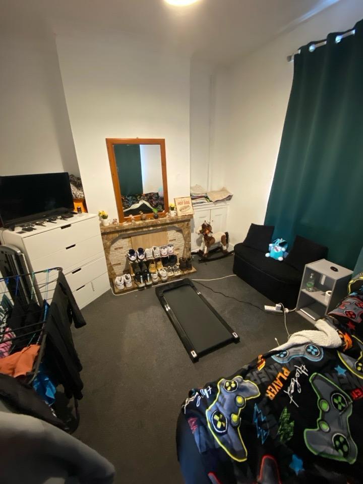
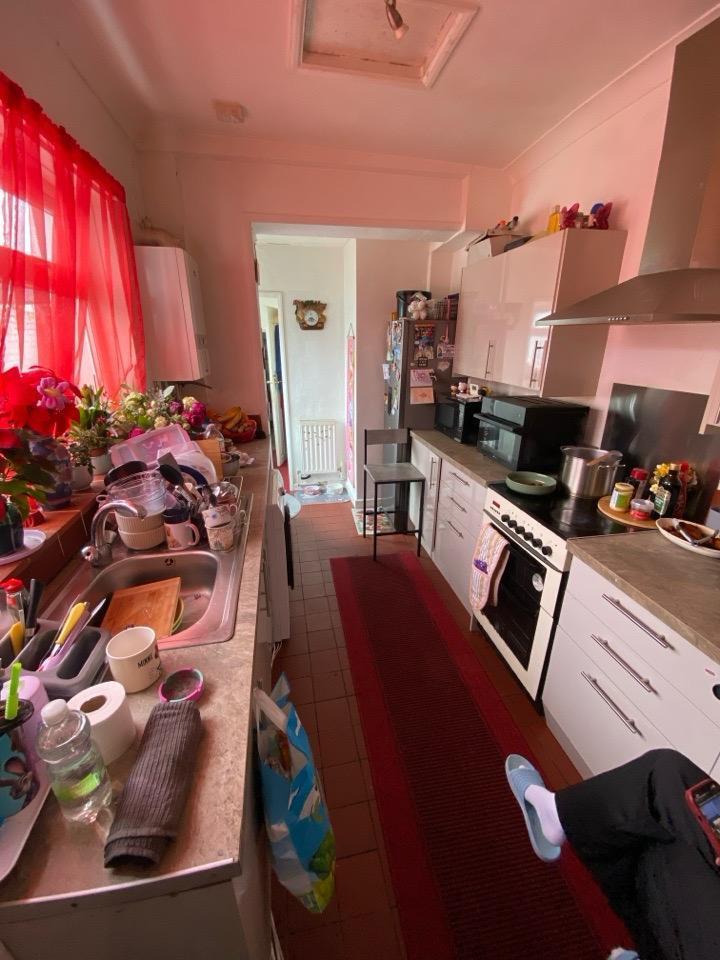
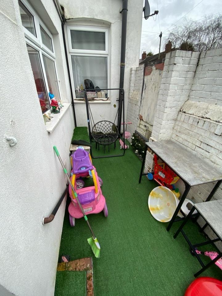
Description
Listed by
Darlington
CW Lettings Ltd
Reference: 172456196
EPC Rating & Upgrade Cost
Current rating: C
Potential rating: B
Inspection date: 26/09/2024
Expiry date: 25/09/2034
Current heating cost: £1,055/year
Potential heating cost: £976/year
Est. upgrade cost to C: £14,500
Recommendations
- Floor insulation (solid floor) (£4,000 - £6,000)
- Solar water heating (£4,000 - £6,000)
- Solar photovoltaic panels, 2.5 kWp (£3,500 - £5,500)
Flood risk
Zone: 1
Risk: Low
Job (default Low)
Rental Range
Estimated market rent for Stoke-on-Trent. Low = conservative, Realistic = average, Optimistic = best case.
Based on Local Authority from postcode lookup → Stoke-on-Trent.
LHA (30th percentile) floor for Staffordshire North: £479/mo (Apr 2025 – Mar 2026)
Location
Nearby
Nearest stations, universities and amenities (distance from property).
| Type | Name | Distance |
|---|---|---|
| Bus stop | Sainsburys Superstore | 0.3 miles |
| Bus stop | McDonalds | 0.3 miles |
| Shop | The Works | 0.5 miles |
| Shop | Specsavers | 0.5 miles |
| University | University of Staffordshire Stoke Campus | 1.4 miles |
| Train station | Stoke-on-Trent | 1.5 miles |
| Train station | Longport | 1.6 miles |
| Hospital | Haywood Hospital Walk-in Centre | 1.8 miles |
| Hospital | Royal Stoke University Hospital | 2.2 miles |
Street-level crime
| Category | Count |
|---|---|
| Violence and sexual offences | 161 |
| Anti-social behaviour | 116 |
| Shoplifting | 67 |
| Public order | 60 |
| Other theft | 36 |
| Vehicle crime | 34 |
| Criminal damage and arson | 31 |
| Drugs | 18 |
| Burglary | 16 |
| Robbery | 12 |
| Other crime | 11 |
| Possession of weapons | 10 |
| Bicycle theft | 6 |
| Theft from the person | 2 |
| Total incidents | 580 |
Within 1 mile during Apr 2026. Source: data.police.uk (England & Wales).
Schools nearby
Nearest open schools with Ofsted ratings (England). Closed schools are not shown. Data from Get Information about Schools and Ofsted.
| Name | Type | Distance | Ofsted |
|---|---|---|---|
| Forest Park Primary School | Primary | 0.2 miles | Good — 4 Jul 2013 |
| St Peter's Catholic Academy | Primary | 0.4 miles | — (Inspected (no overall grade)) |
| Phoenix Independent School | Other | 0.5 miles | Requires improvement — 26 Sep 2023 |
| Sneyd Academy | Primary | 0.7 miles | Good — 1 Aug 2023 |
| Etruscan Primary School | Primary | 0.7 miles | — (Inspected (no overall grade)) |
Rental Comparables
Residential lets from OpenRent and Rightmove for the area (same bedroom count). Use to validate rent estimates. Student lets are excluded.
Average rent: £810/mo (62 listings)