White Briars
MACCLESFIELD ROAD, HIGH PEAK, WHALEY BRIDGE, DERBYSHIRE SK23 7DH
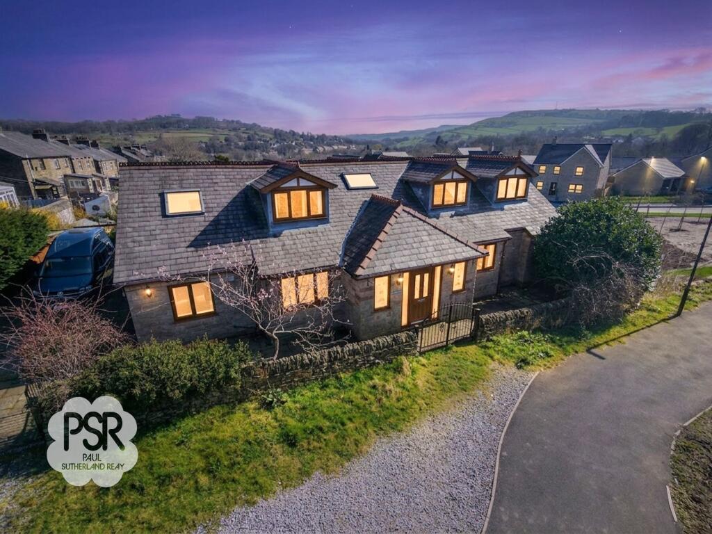
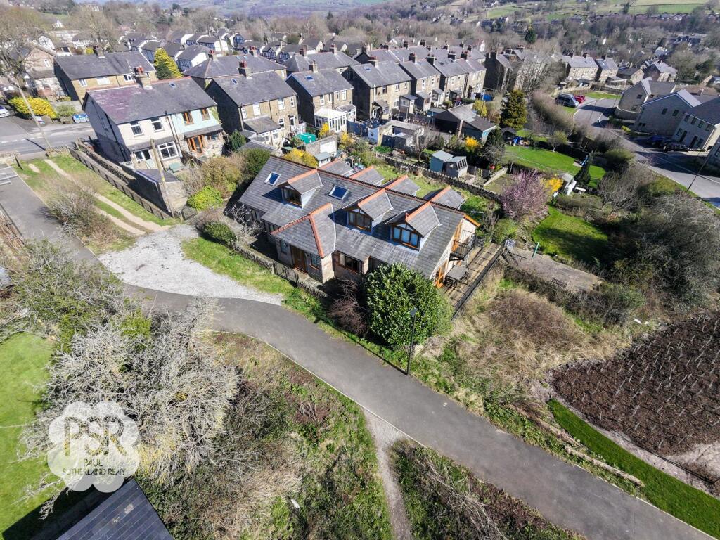
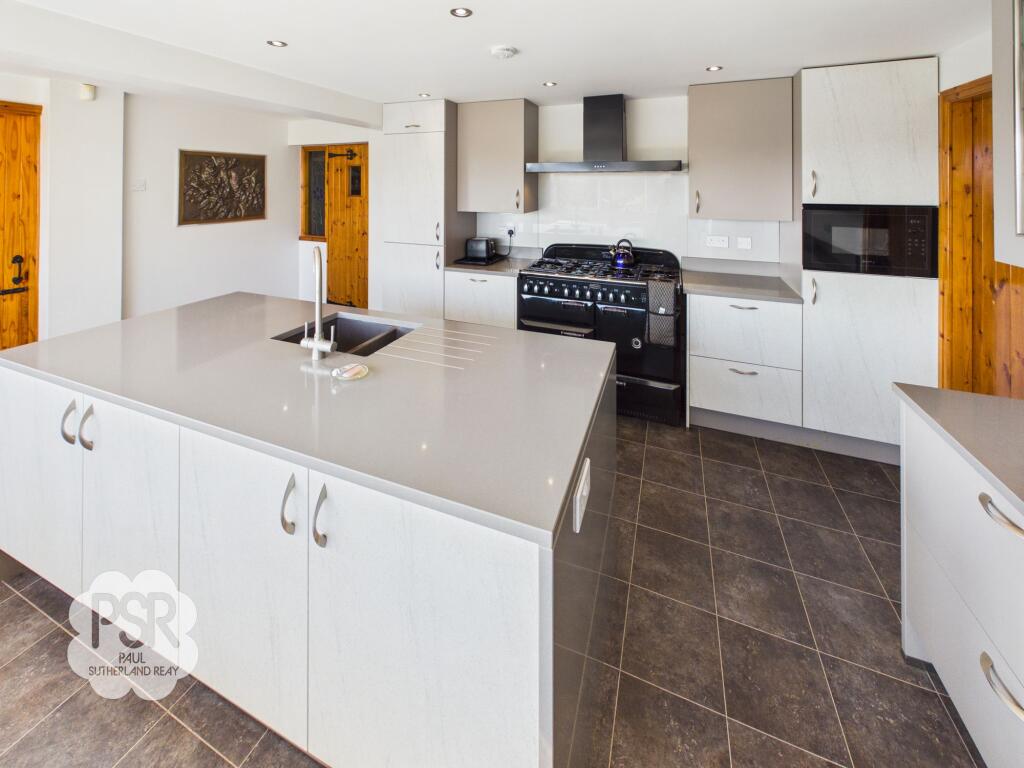
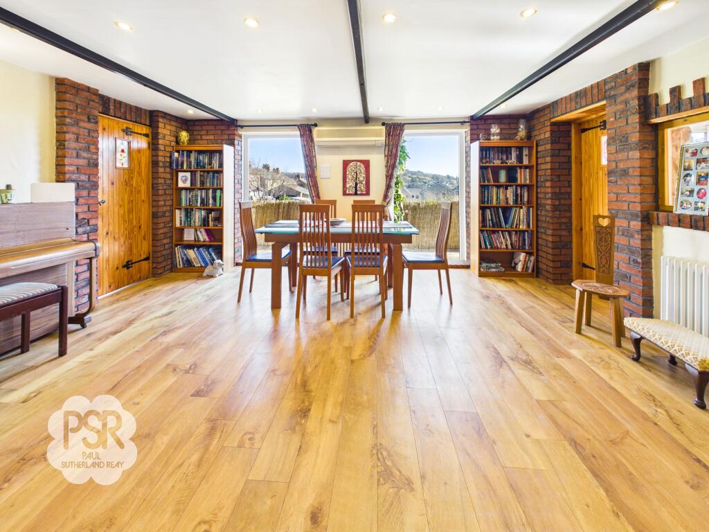
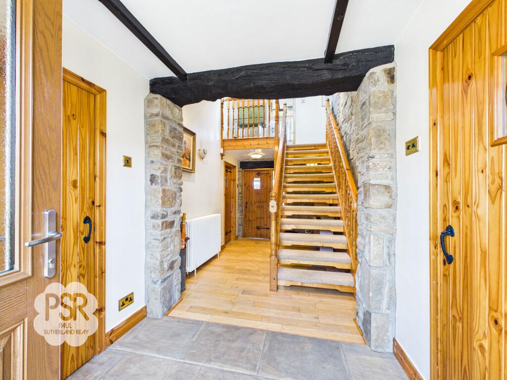
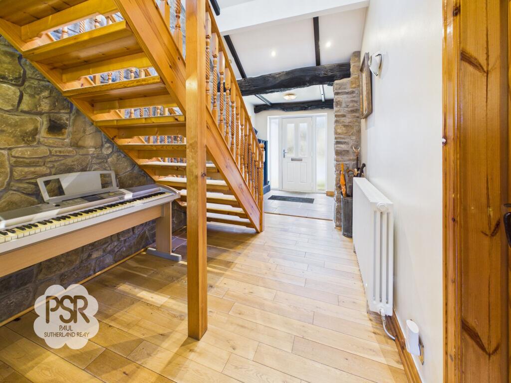
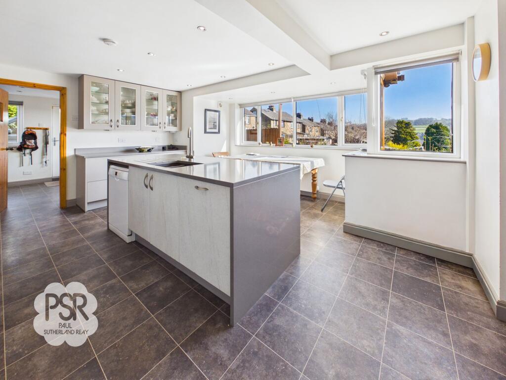
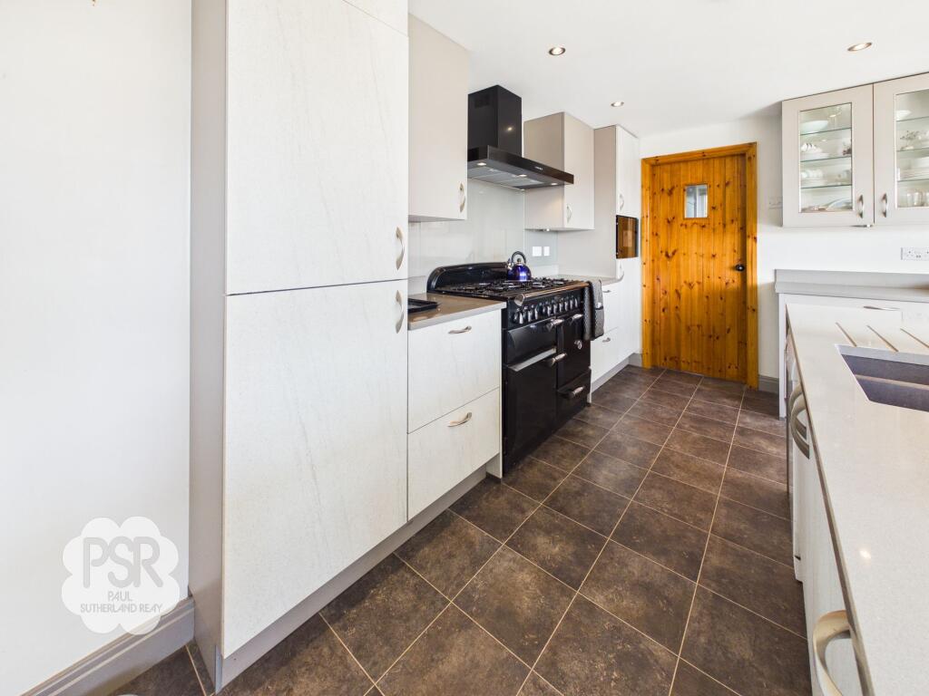
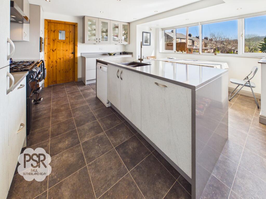
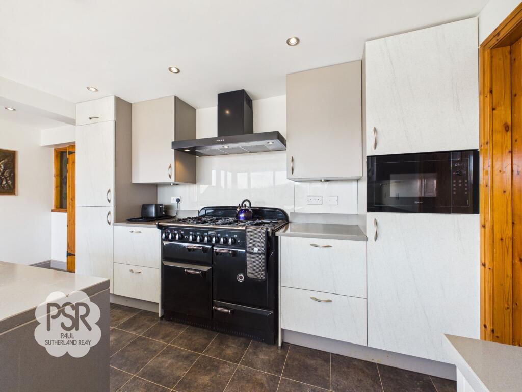
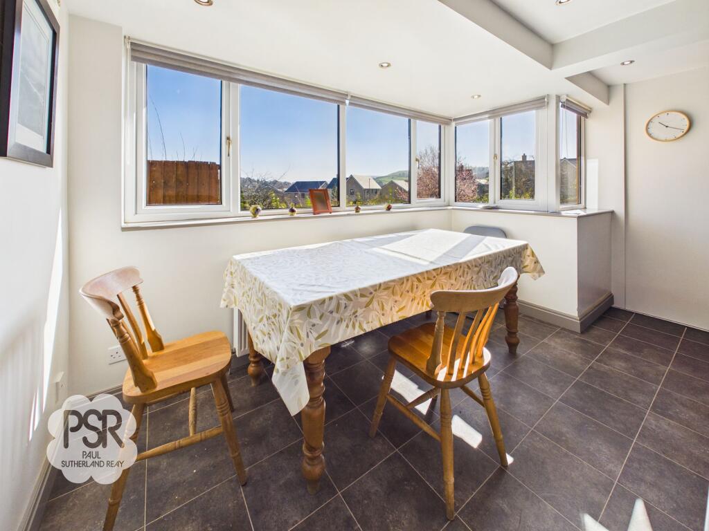
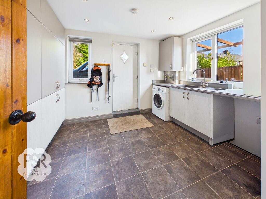
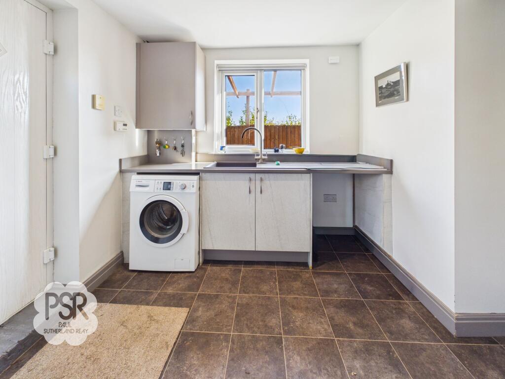
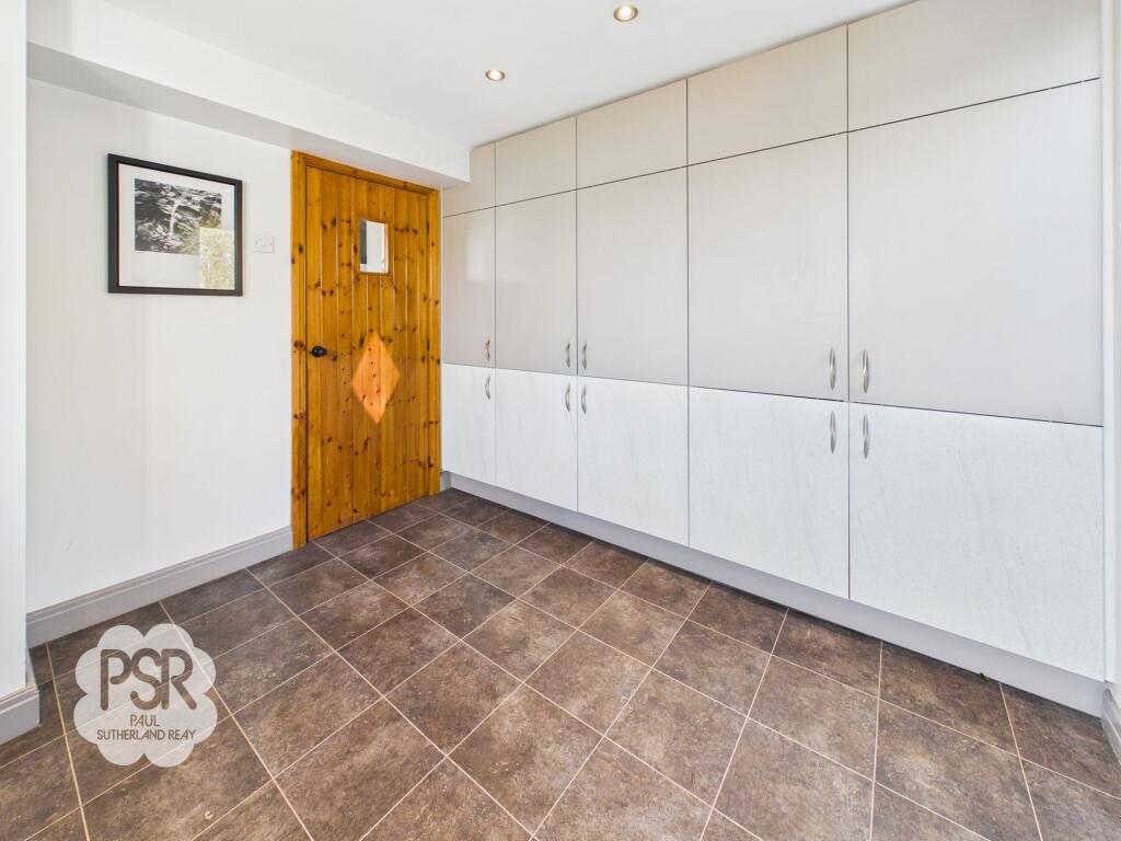
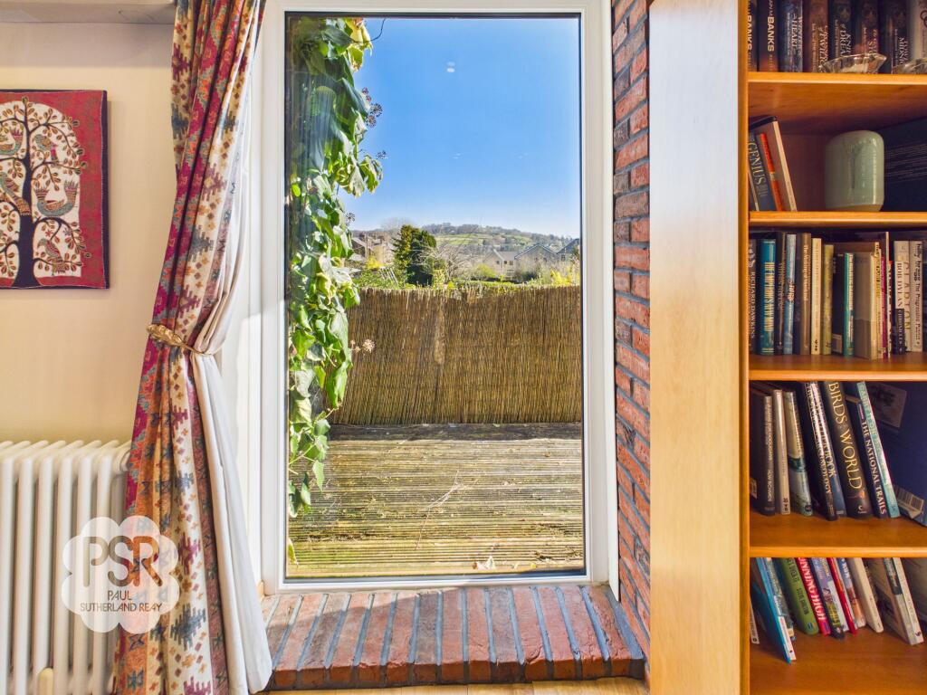
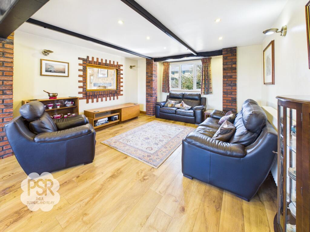
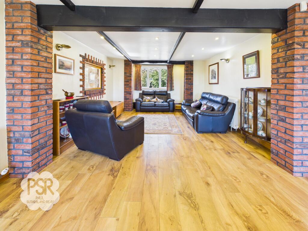
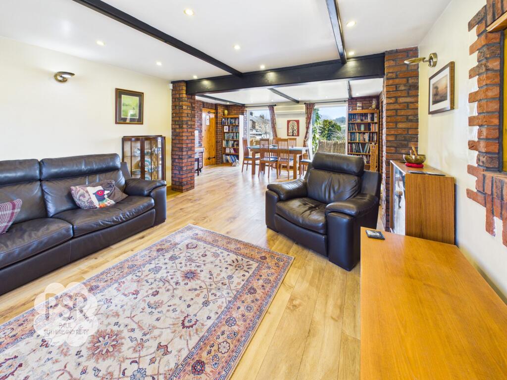
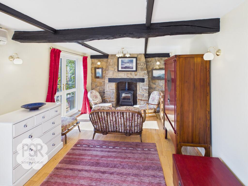
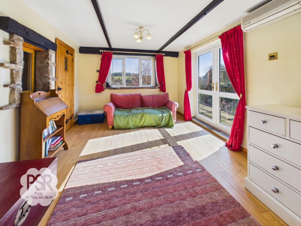
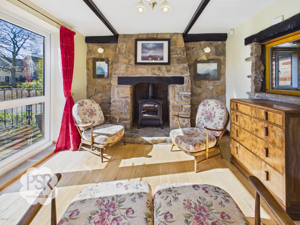
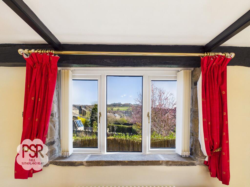
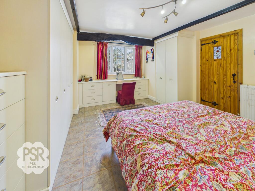
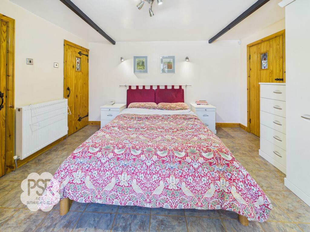
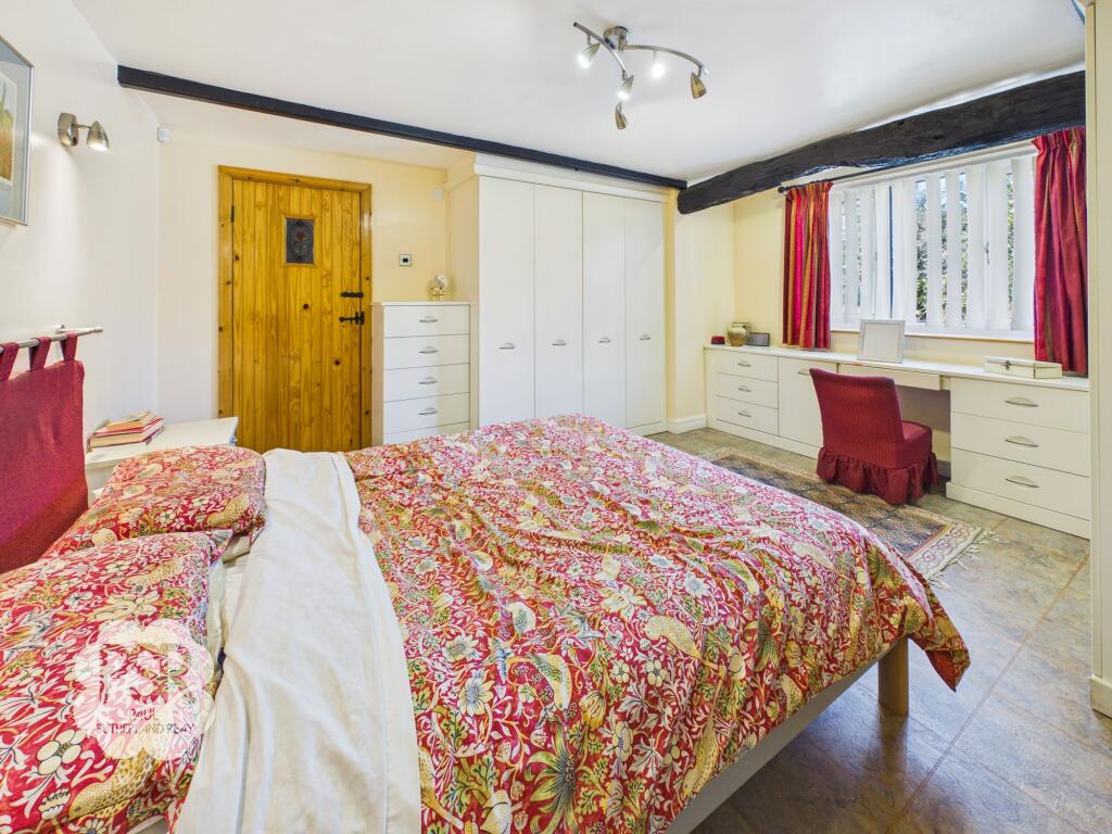
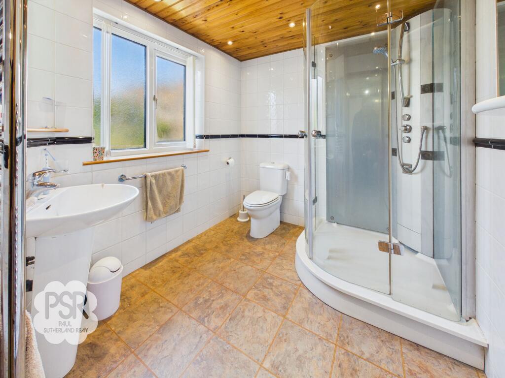
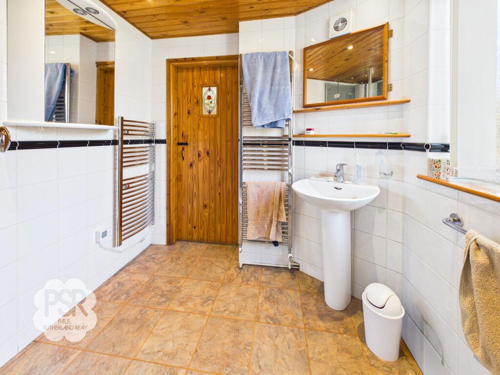
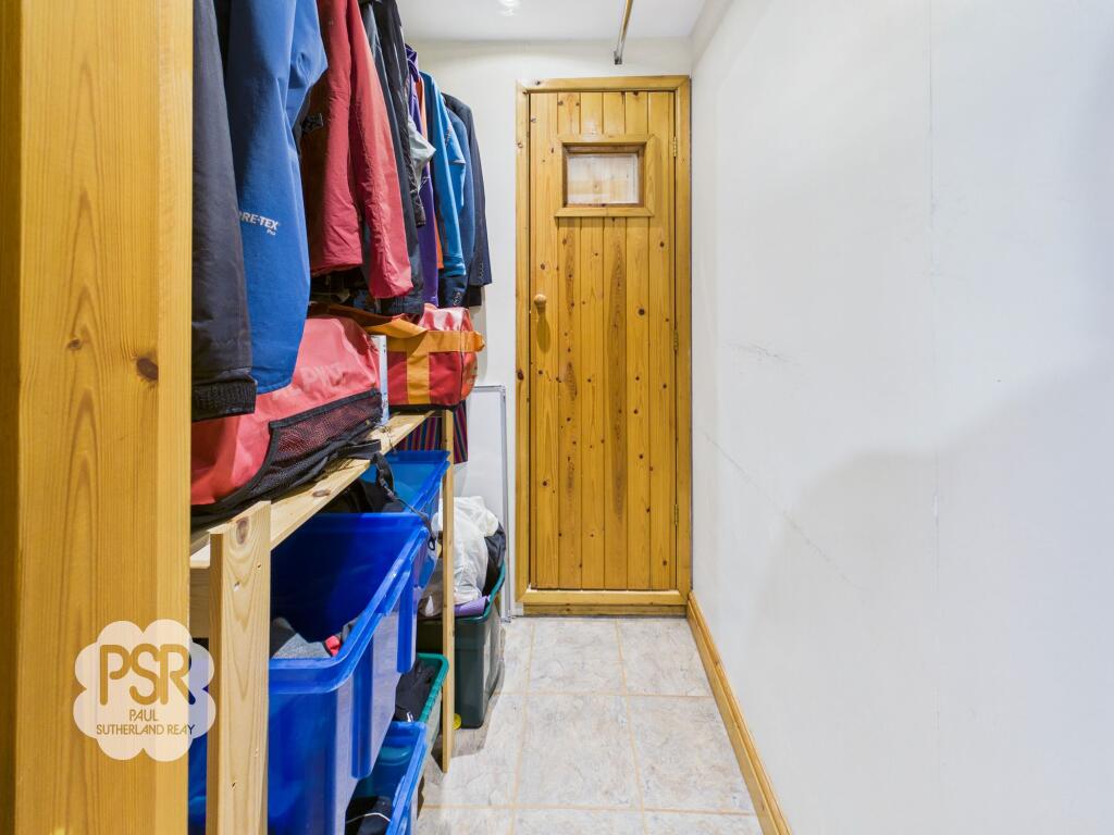
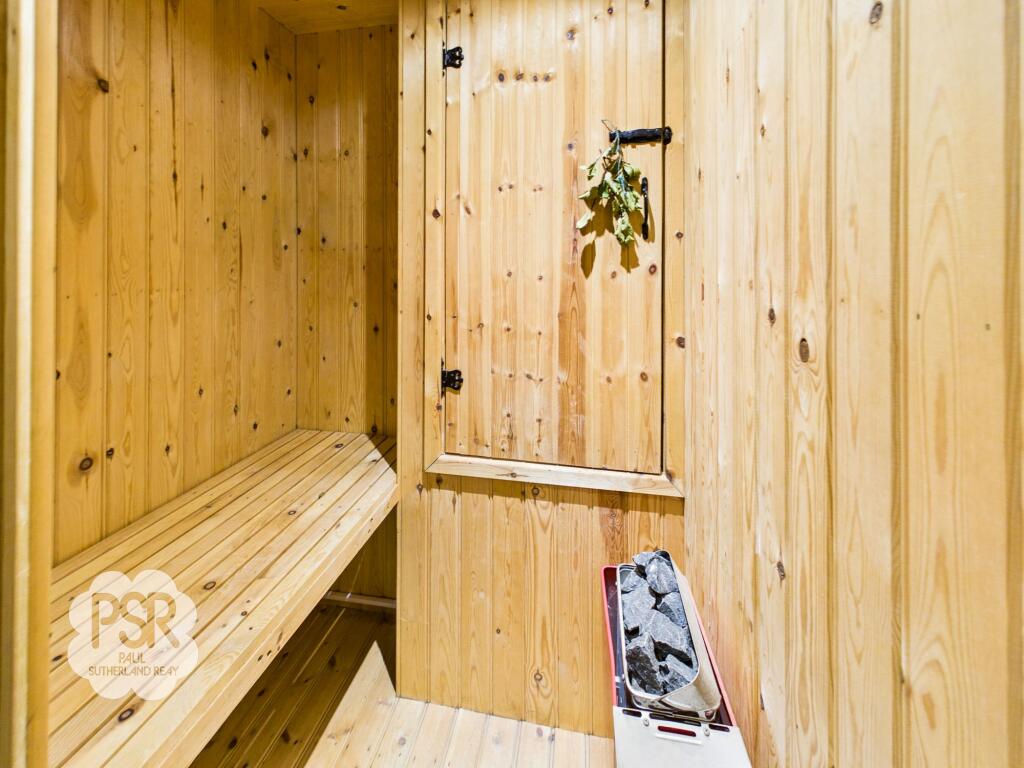
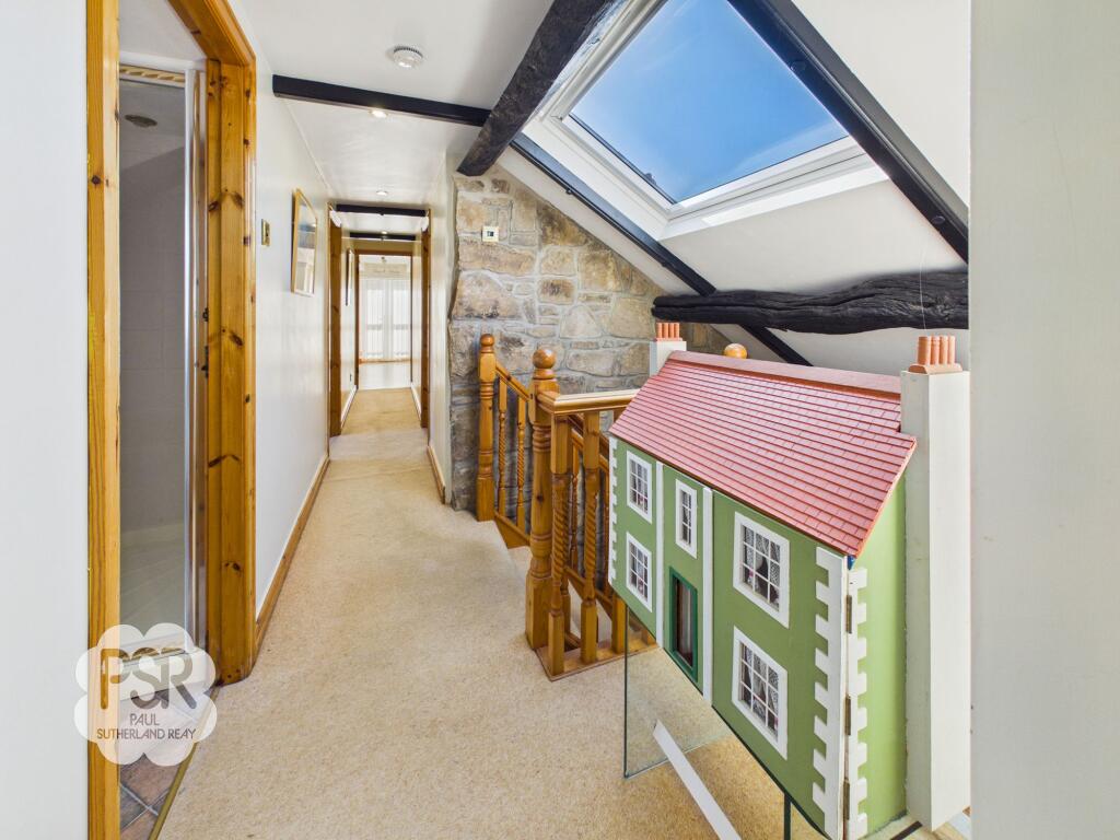
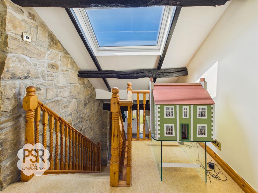
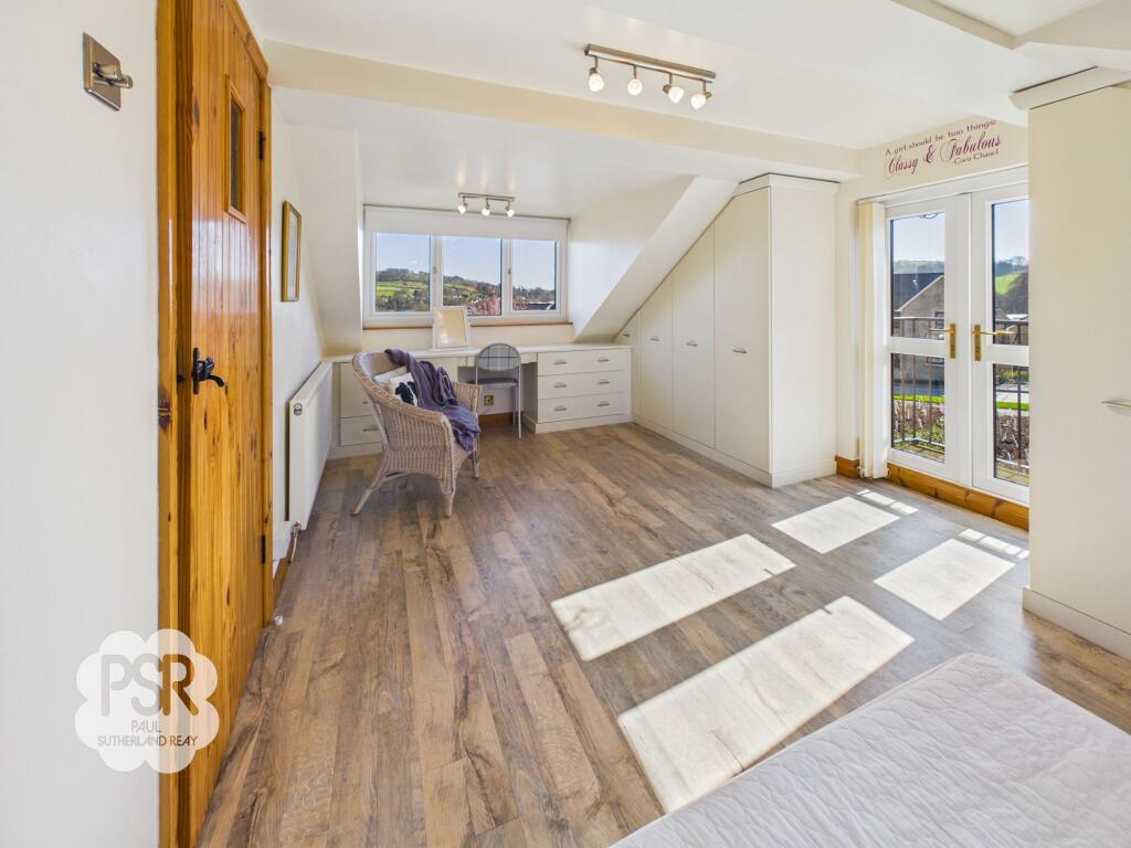
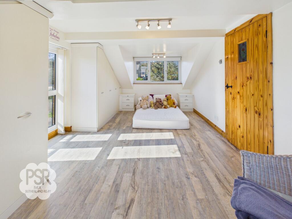
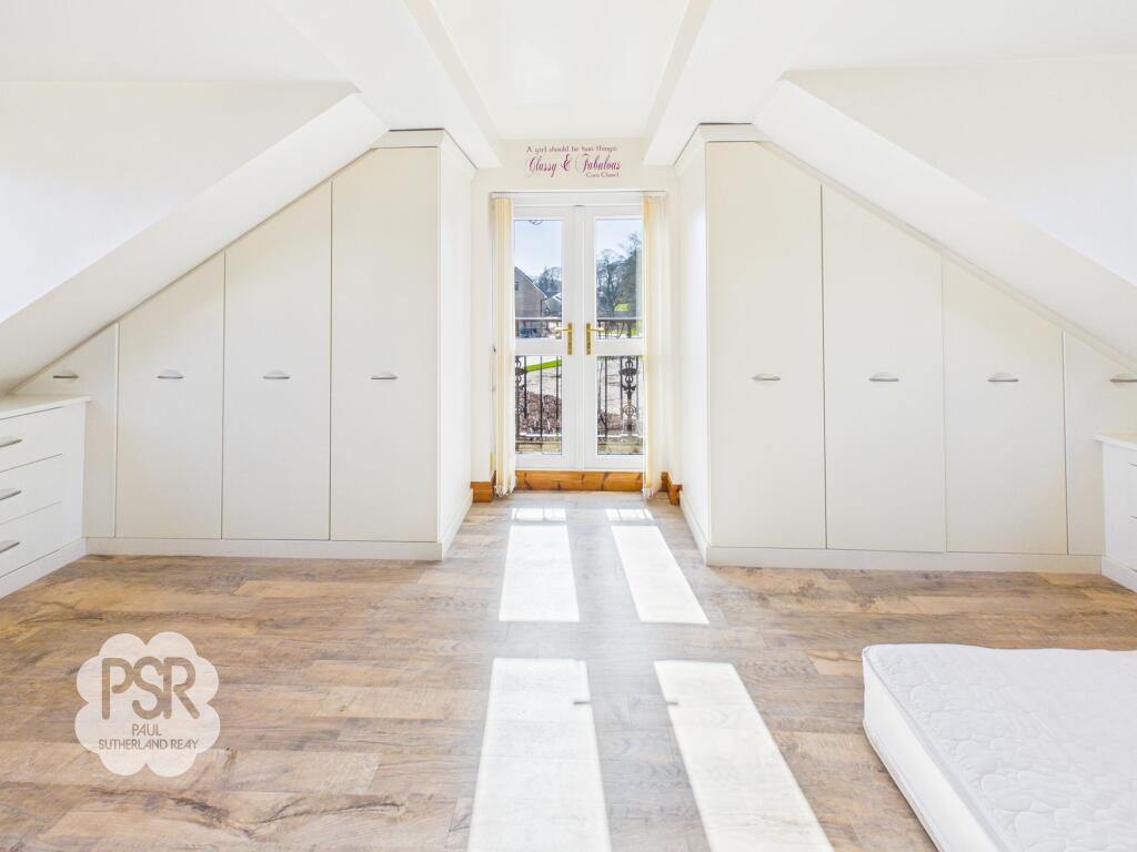
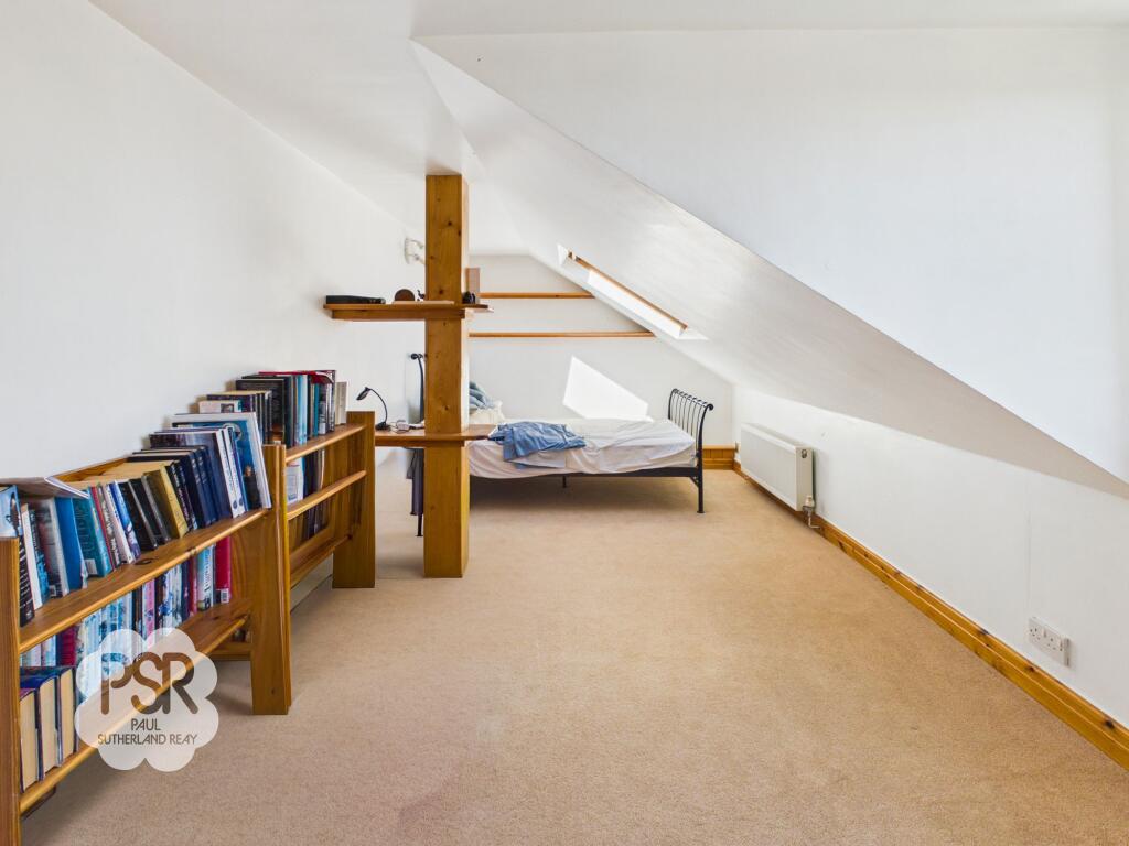
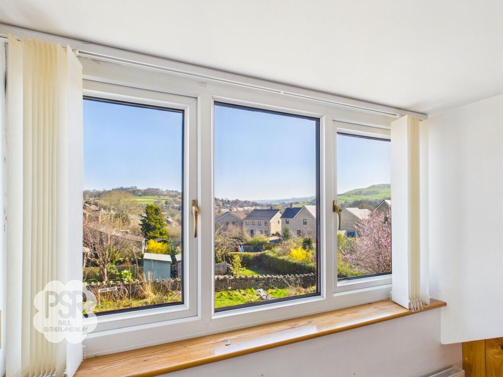
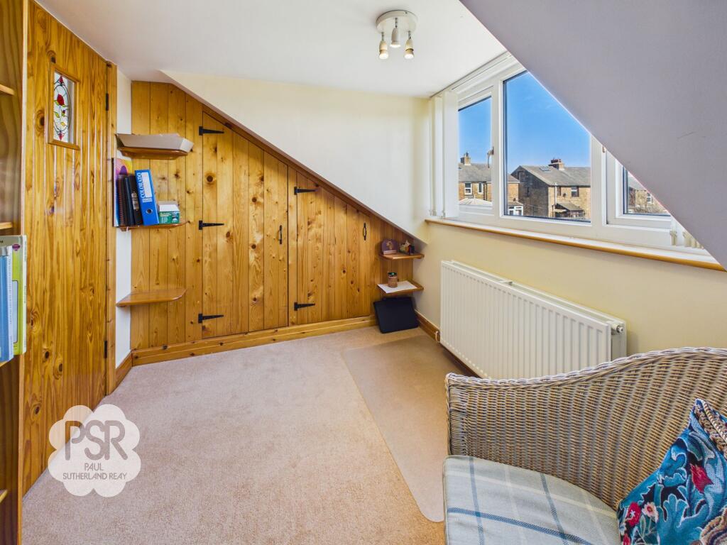
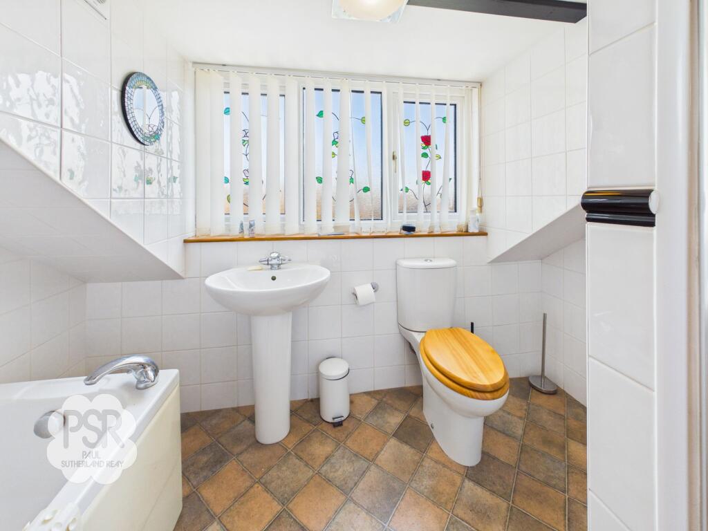
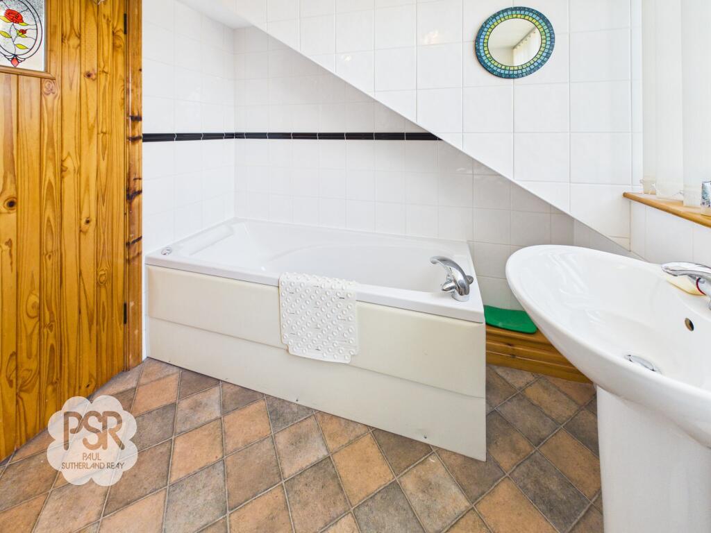
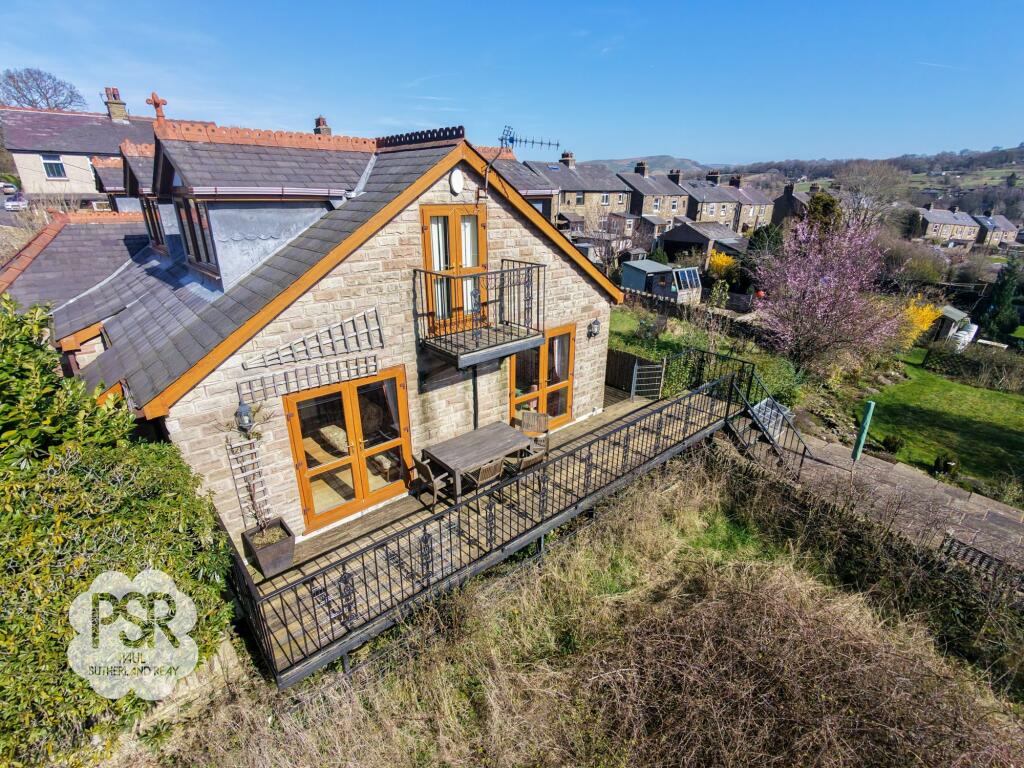
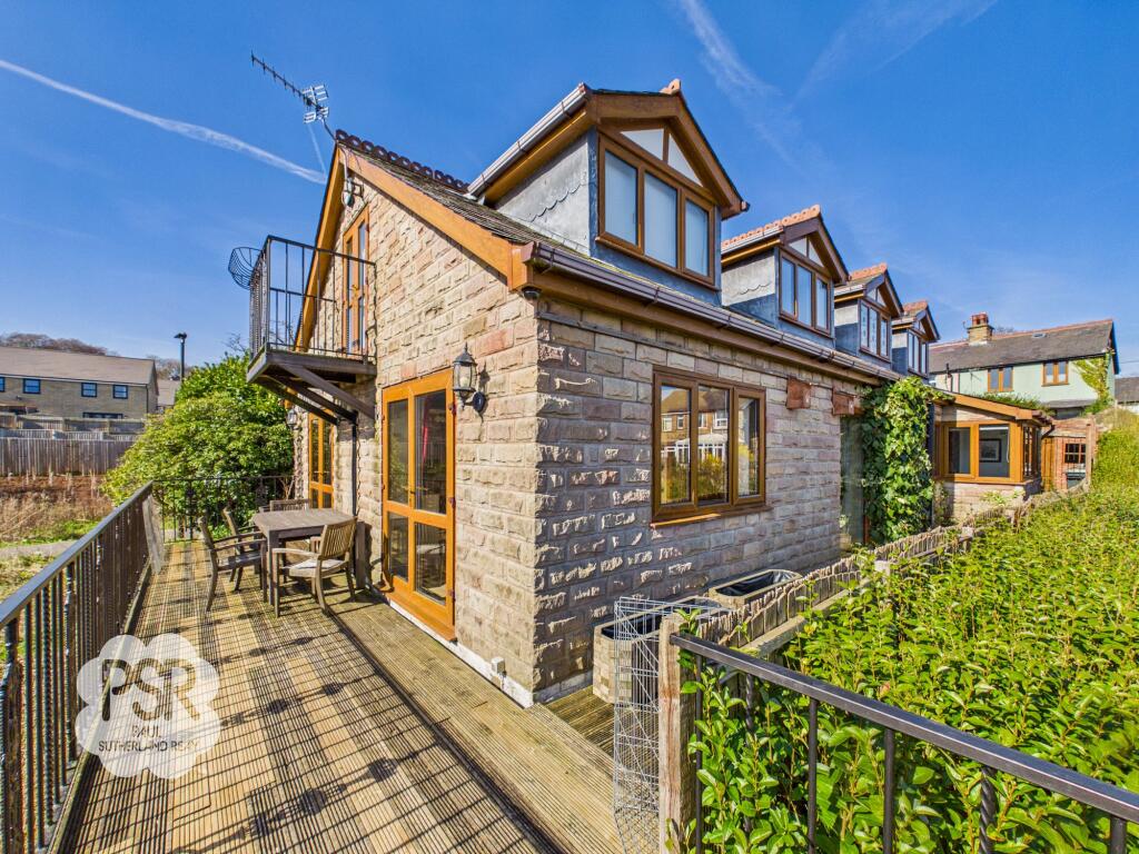
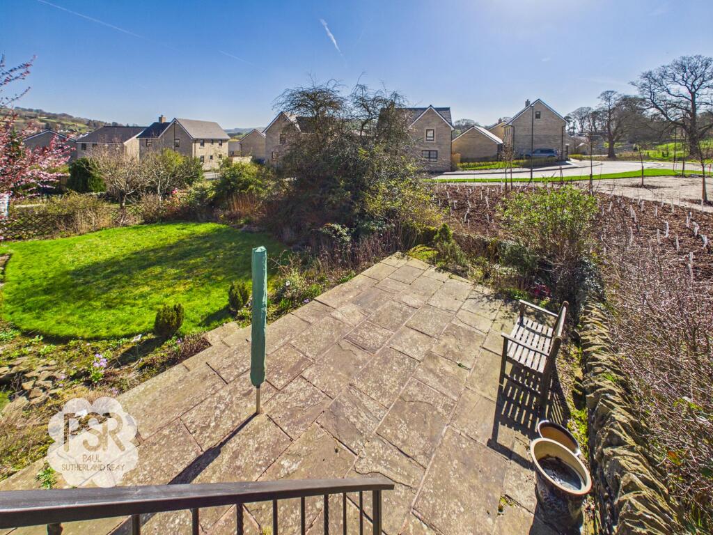
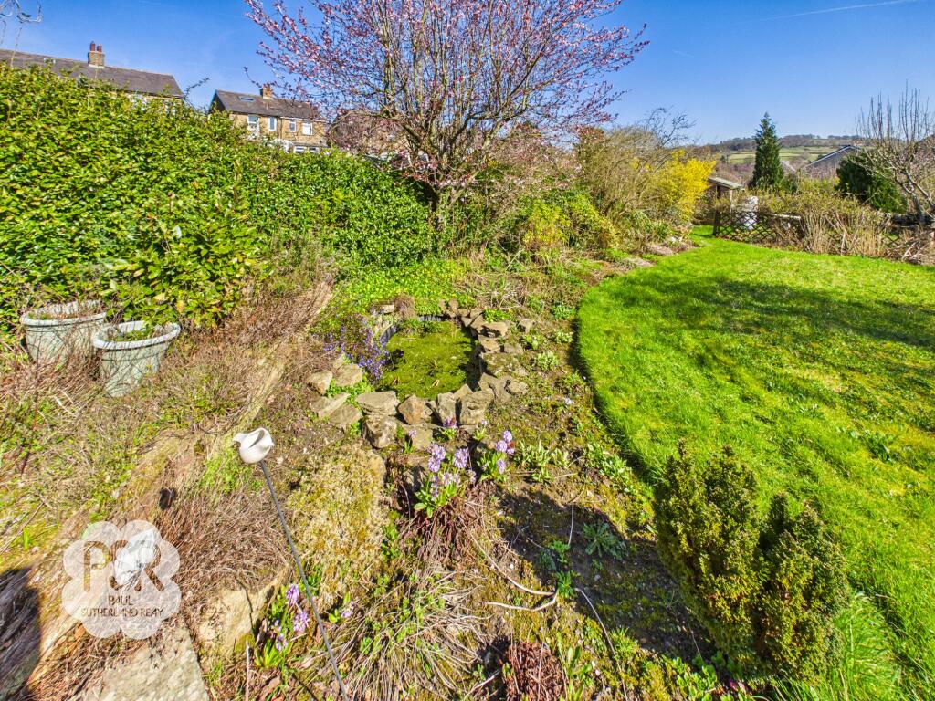
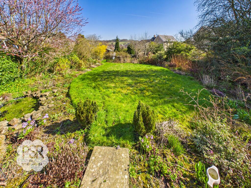
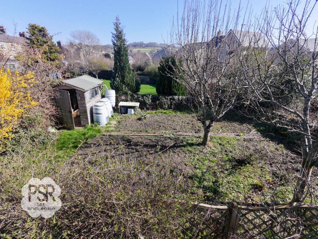
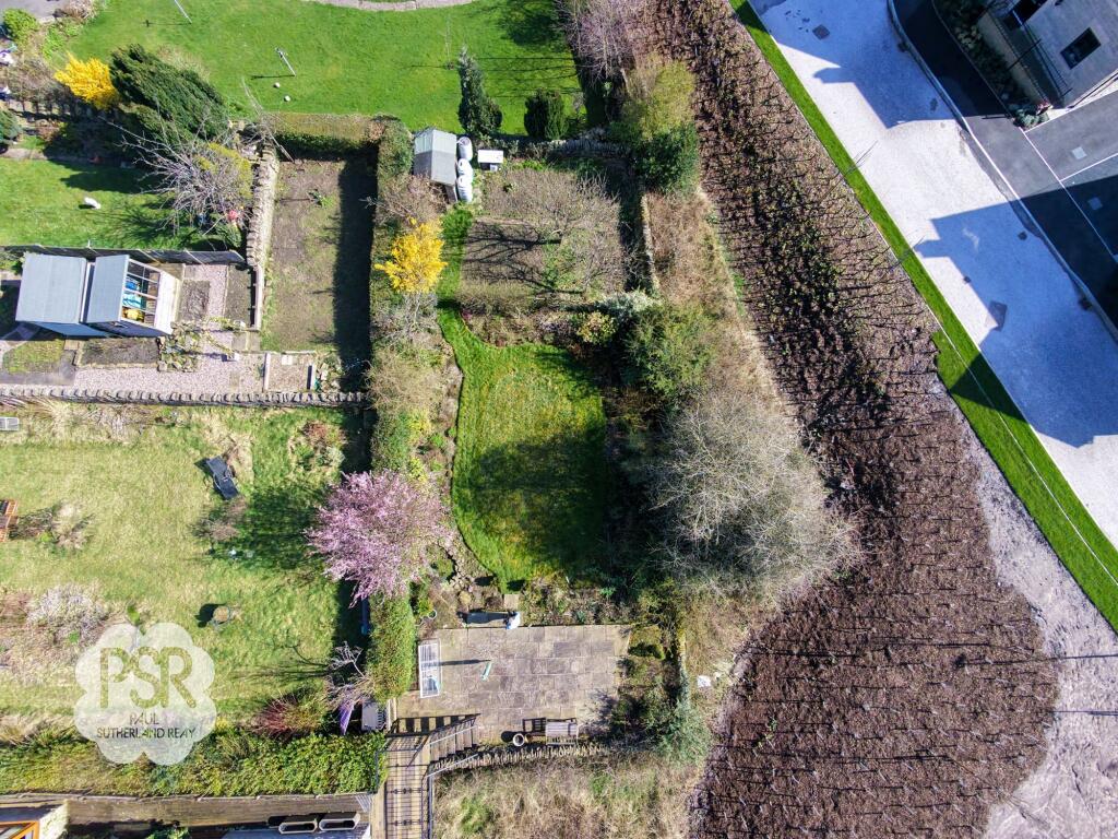
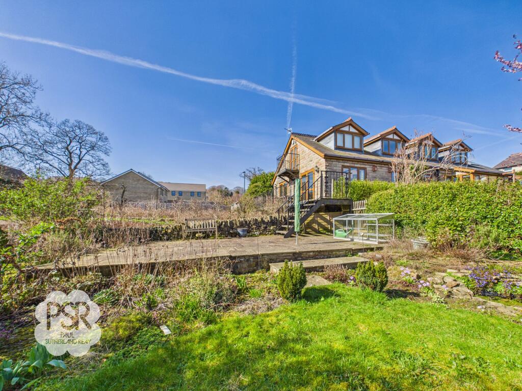
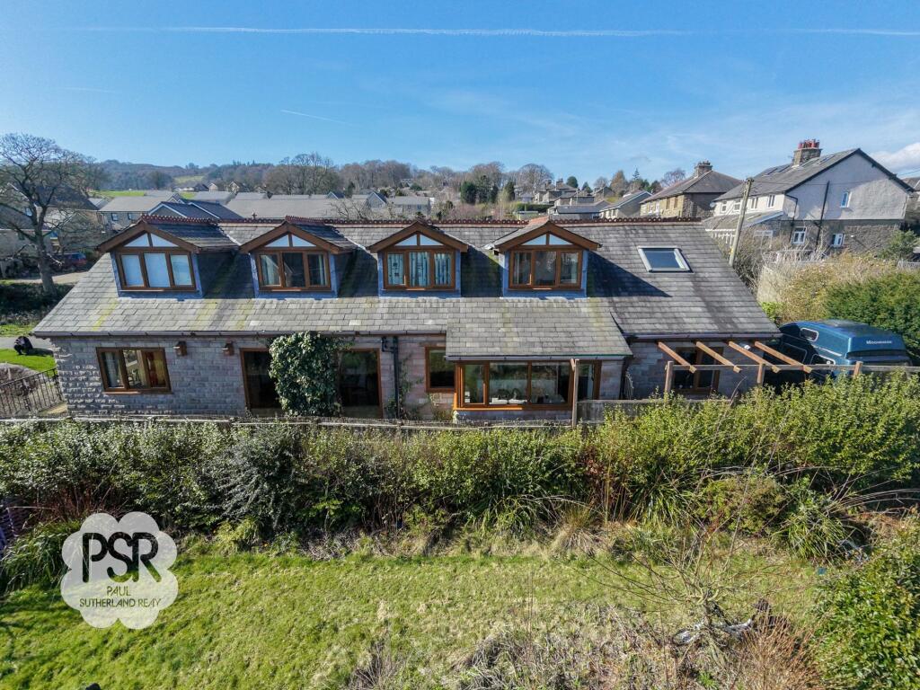
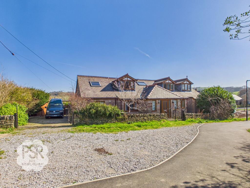
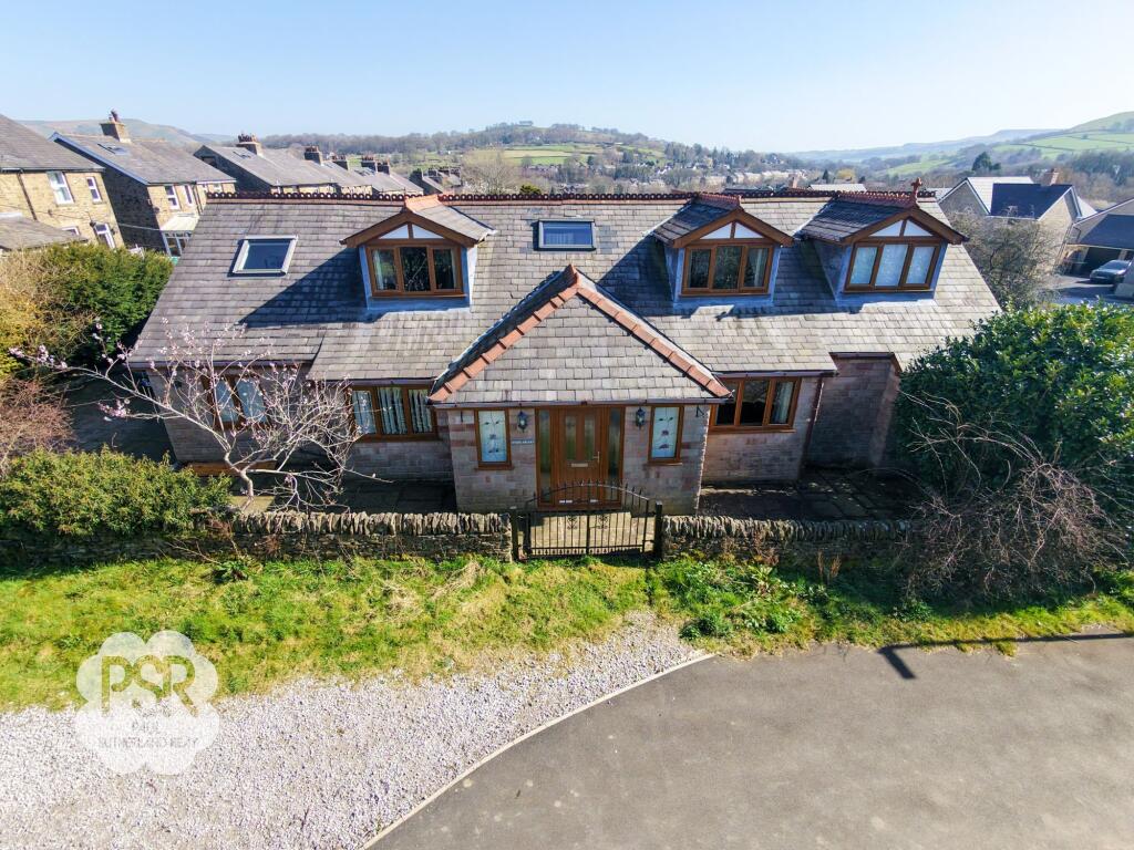
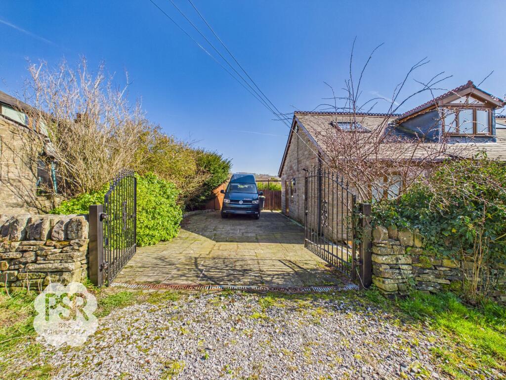
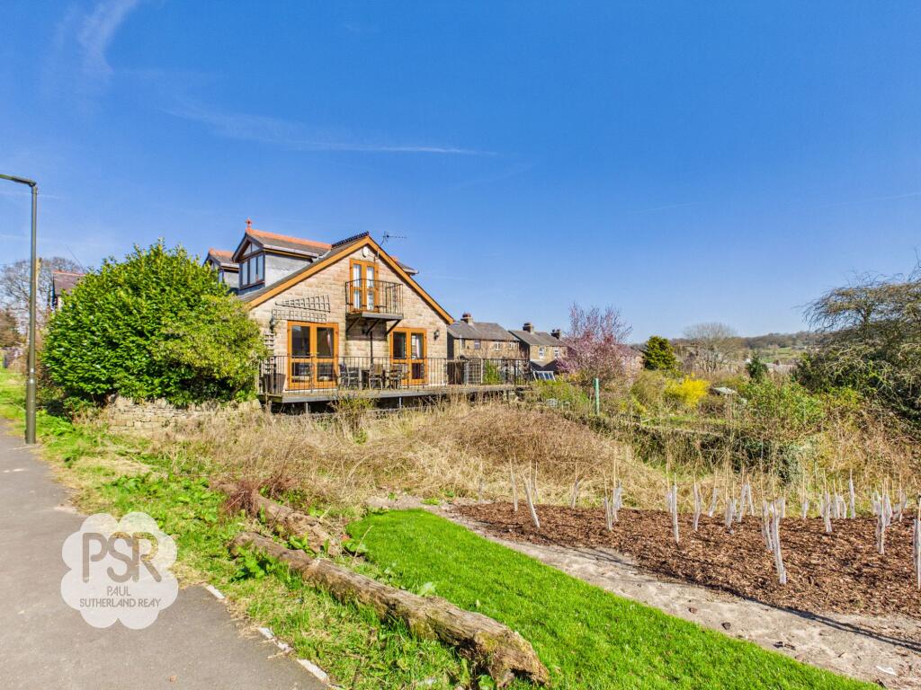
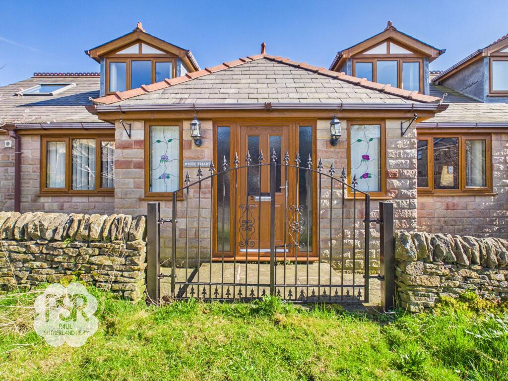
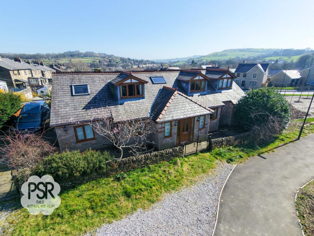
Photo 1 Photo 2 Kitchen Diner Lounge / Diner Hallway Hallway Kitchen Diner Kitchen Diner Kitchen Diner Kitchen Diner Kitchen Diner Utility Room Utility Room Utility Room Photo 15 Lounge / Diner Lounge / Diner Lounge / Diner Family Room/ Snug Family Room/ Snug Family Room/ Snug Photo 22 Bedroom One Bedroom One Bedroom One En Suite En Suite Walk in Wardrobe Leading to Sauna Sauna Landing Landing Bedroom Two Bedroom Two Bedroom Two Bedroom Five Bedroom Five Bedroom Five Bedroom Three / Office Photo 39 Bedroom Four/ Office Bedroom Four/ Office Bathroom Bathroom Photo 44 Photo 45 Photo 46 Photo 47 Photo 48 Photo 49 Photo 50 Photo 51 Photo 52 Photo 53 Photo 54 Photo 55 Photo 56 Photo 57 Photo 58 Photo 59
/ 59
Property details
Tenure
FREEHOLD
Floor area
230 m²
Council tax band
D
Last sold
£348,000 Dec 2005
Local average
£407,518 (+38.6%)
Deprivation
Decile 6 (19,564 of 33,755)
Street crime
21 incidents within 1 mile (Apr 2026)
Key features
- Six Bedroom, Two Storey, Detached House
- Three Spacious Reception Rooms
- Driveway Parking for Three Vehicles
- Excellent Transport Links to Manchester Piccadilly and Buxton
- Situated within Close Proximity to Local Amenities
- EPC Rated: C
- Gas Central Heating and Double Glazing
- No Onward Chain
Additional details
- Heating
- Gas central
- Parking
- Yes
- Garden
- Front garden, Rear garden
- Listed property
- No
- Restrictions
- No
- Required access
- No
- Rights of way
- No
- Flooded in last 5 years
- No
- Flood defences
- No
Description
Stepping outside, the property’s impressive grounds are designed for both relaxation and recreation. Leading from the family lounge, a wooden decked balcony provides an elevated vantage point with sweeping views over the gardens and surrounding countryside. Stairs descend to a spacious, raised stone-flagged patio, enclosed by traditional dry stone walling and featuring a dedicated seating area - ideal for al fresco dining or entertaining guests. Beyond the patio, the garden opens into a long stretch of lawn bordered by mature hedging and specimen planting, including a prominent pink blossom tree that adds seasonal colour. The far end of the garden transitions into a productive allotment area, complete with a vegetable patch, fruit trees, and a timber garden shed which caters for all gardening needs. The front garden is equally inviting, with stone-walled boundaries and double iron gates complemented by established planting, providing an attractive and mature entrance to the home. Secure gated parking for three vehicles completes the outside space, offering both convenience and peace of mind. This is a rare opportunity to acquire a substantial family home with generous outdoor space, all within easy reach of excellent transport connections and local amenities.
EPC Rating: C
Listed by
New Mills
Cotelands Ltd
Reference: 173522522
EPC ratings on this postcode
We don't have a matched EPC for this property yet. Below are efficiency scores and details for other addresses on this postcode.
| Address | Current | Potential | Floor area | Age band | Type |
|---|---|---|---|---|---|
| 105 MacClesfield Road, Whaley Bridge, HIGH PEAK | 41 | 84 | 87 m² | England and Wales: 1900-1929 | Terraced |
| 107, Macclesfield Road, Whaley Bridge, HIGH PEAK | 67 | 86 | 90 m² | England and Wales: 1900-1929 | Terraced |
| 108, Macclesfield Road, Whaley Bridge, HIGH PEAK | 64 | 86 | 79 m² | England and Wales: 1900-1929 | Detached |
| 109 MacClesfield Road, Whaley Bridge, HIGH PEAK | 62 | 79 | 88 m² | England and Wales: 1900-1929 | Terraced |
| 110, Macclesfield Road, Whaley Bridge, HIGH PEAK | 55 | 85 | 69 m² | England and Wales: 1900-1929 | Detached |
| 113, Macclesfield Road, Whaley Bridge, HIGH PEAK | 70 | 85 | 120 m² | England and Wales: 1900-1929 | Terraced |
| 116 MacClesfield Road, Whaley Bridge, HIGH PEAK | 55 | 73 | 82 m² | England and Wales: 1900-1929 | Detached |
| 116, Macclesfield Road, Whaley Bridge, HIGH PEAK | 53 | 86 | 82 m² | England and Wales: 1900-1929 | Detached |
| 119, Macclesfield Road, Whaley Bridge, HIGH PEAK | 65 | 86 | 74 m² | England and Wales: 1900-1929 | Terraced |
| 121, Macclesfield Road, Whaley Bridge, HIGH PEAK | 70 | 85 | 93 m² | England and Wales: 1900-1929 | Terraced |
| 125, Macclesfield Road, Whaley Bridge, HIGH PEAK | 64 | 85 | 80 m² | England and Wales: 1900-1929 | Detached |
| 129, Macclesfield Road, Whaley Bridge, HIGH PEAK | 64 | 87 | 78 m² | England and Wales: 1900-1929 | Terraced |
| 133 MacClesfield Road, Whaley Bridge, HIGH PEAK | 57 | 88 | 104 m² | England and Wales: 1900-1929 | Detached |
| 133, Macclesfield Road, Whaley Bridge, HIGH PEAK | 55 | 81 | 102 m² | England and Wales: 1930-1949 | Detached |
| 135, Macclesfield Road, Whaley Bridge, HIGH PEAK | 66 | 85 | 95 m² | England and Wales: 1930-1949 | Detached |
Flood risk
Zone: 1
Risk: Low
Job (default Low)
Floorplans
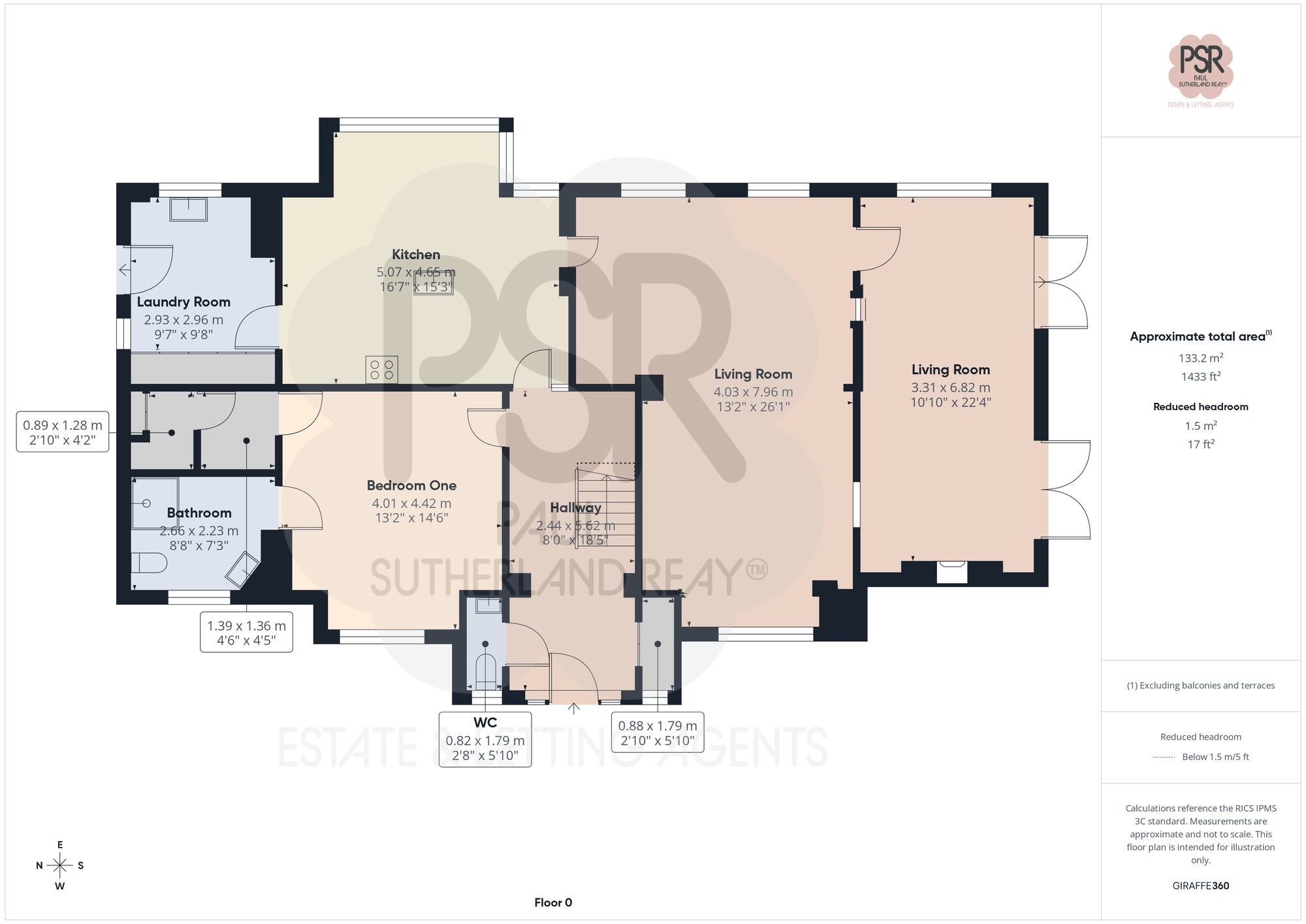
Ground Floor
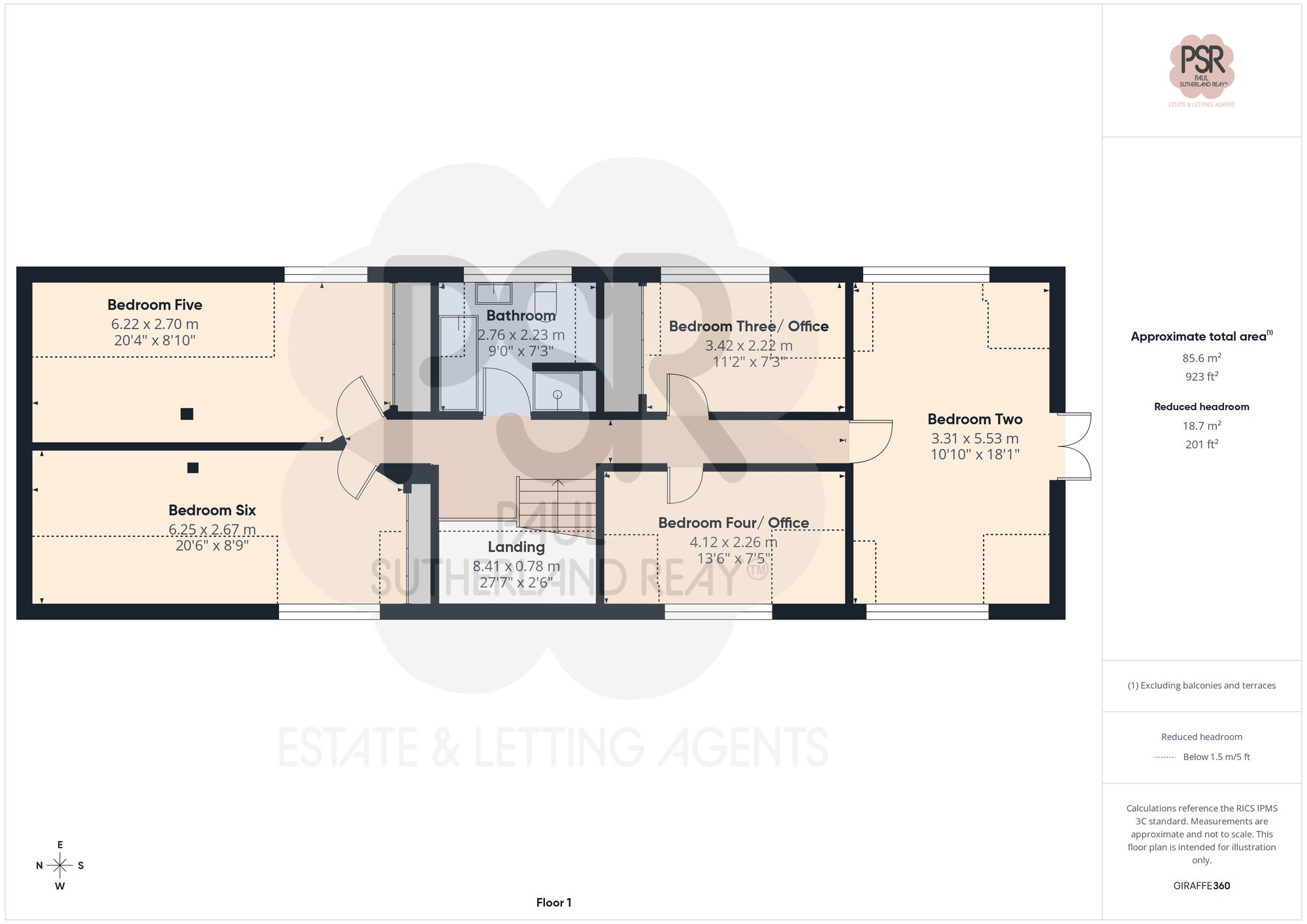
First Floor
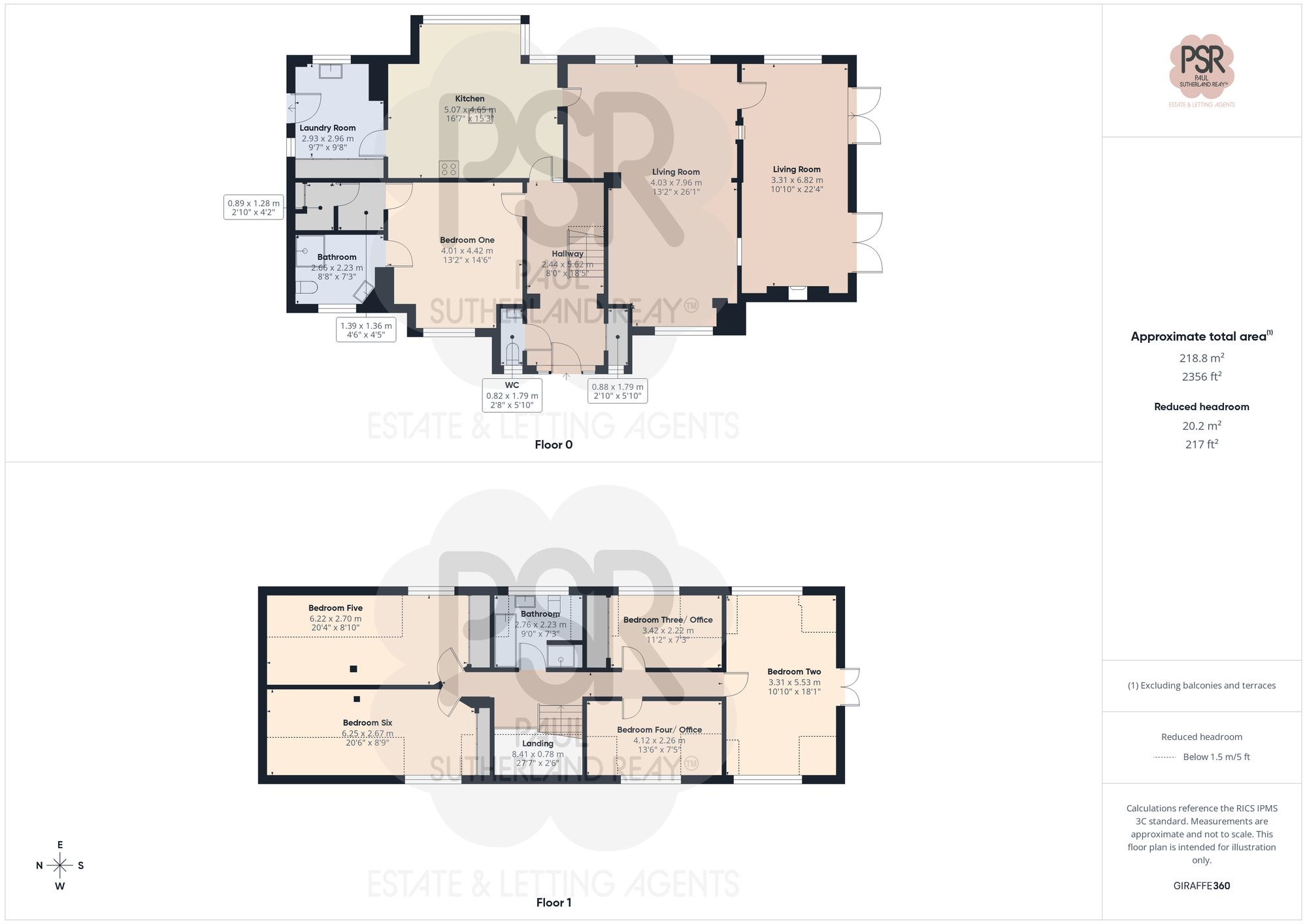
All
Price history
252% since 2002
| Event | Date | Price | % change |
|---|---|---|---|
| Listed for sale | — | £565,000 | +62.4% |
| Sold | 22/12/2005 (20 years ago) | £348,000 | +251.5% |
| Sold | 22/08/2002 (23 years ago) | £99,000 | — |
Source: HM Land Registry Price Paid Data. Crown copyright.
Sold Comparables
Same street and nearby sales within 0.25 miles (last 5 years). Data from Land Registry Price Paid.
| Address | Price | Date | Type |
|---|---|---|---|
| 2 MERESIDE GARDENS, WHALEY BRIDGE, HIGH PEAK, DERBYSHIRE, SK23 7SB | £427,500 | 09/01/2026 | Detached |
| 19 REDDISH AVENUE, WHALEY BRIDGE, HIGH PEAK, DERBYSHIRE, SK23 7DP | £215,000 | 15/08/2025 | Detached |
| Same street 99 MACCLESFIELD ROAD, WHALEY BRIDGE, HIGH PEAK, DERBYSHIRE, SK23 7DH | £270,000 | 03/11/2023 | Terraced |
| Same street 99 MACCLESFIELD ROAD, WHALEY BRIDGE, HIGH PEAK, DERBYSHIRE, SK23 7DH | £260,000 | 15/12/2022 | Terraced |
| Same street 107 MACCLESFIELD ROAD, WHALEY BRIDGE, HIGH PEAK, DERBYSHIRE, SK23 7DH | £265,000 | 29/11/2022 | Terraced |
| 1 MERESIDE GARDENS, WHALEY BRIDGE, HIGH PEAK, DERBYSHIRE, SK23 7SB | £465,000 | 23/11/2022 | Detached |
| 33 LINGLONGS AVENUE, WHALEY BRIDGE, HIGH PEAK, DERBYSHIRE, SK23 7DT | £265,000 | 29/06/2022 | Detached |
| HEULWEN LINGLONGS AVENUE, WHALEY BRIDGE, HIGH PEAK, DERBYSHIRE, SK23 7DT | £470,000 | 01/04/2022 | Detached |
| 38 REDDISH AVENUE, WHALEY BRIDGE, HIGH PEAK, DERBYSHIRE, SK23 7DP | £245,000 | 28/03/2022 | Detached |
| Same street 89 MACCLESFIELD ROAD, WHALEY BRIDGE, HIGH PEAK, DERBYSHIRE, SK23 7DH | £140,000 | 22/03/2022 | Terraced |
| Same street 60 MACCLESFIELD ROAD, WHALEY BRIDGE, HIGH PEAK, DERBYSHIRE, SK23 7DH | £261,000 | 27/01/2022 | Terraced |
| 10 LINGLONGS AVENUE, WHALEY BRIDGE, HIGH PEAK, DERBYSHIRE, SK23 7DT | £430,000 | 01/12/2021 | Detached |
| 32 LINGLONGS AVENUE, WHALEY BRIDGE, HIGH PEAK, DERBYSHIRE, SK23 7DT | £380,000 | 12/11/2021 | Detached |
| 35 LINGLONGS AVENUE, WHALEY BRIDGE, HIGH PEAK, DERBYSHIRE, SK23 7DT | £395,000 | 30/06/2021 | Detached |
| 5 REDDISH AVENUE, WHALEY BRIDGE, HIGH PEAK, DERBYSHIRE, SK23 7DP | £137,294 | 25/06/2021 | Detached |
Street average: £239,200 (5 sales)
Area average: £342,979 (10 sales)
Capital growth trend
Land Registry outcode average: last 12 months vs 5y and 10y ago (from sold prices).
House Price Index (HM Land Registry — official index, not sold-price averages): High Peak. Series: Detached. As of March 2026.
Rental Range
Estimated market rent for High Peak. Low = conservative, Realistic = average, Optimistic = best case.
Based on Local Authority from postcode lookup → High Peak.
LHA (30th percentile) floor for Southern Greater Manchester: £1,396/mo (Apr 2025 – Mar 2026)
Location
Address
Lower Macclesfield Road
Nearby
Nearest stations, universities and amenities (distance from property).
| Type | Name | Distance |
|---|---|---|
| Bus stop | Whaley Bridge Lower Macclesfield Road | 0.2 miles |
| Shop | Handmade in Horwich End | 0.3 miles |
| Shop | Peak Motors | 0.3 miles |
| Bus stop | Horwich End after White Horse | 0.3 miles |
| Train station | Whaley Bridge | 0.6 miles |
| Train station | Furness Vale | 1.9 miles |
| Hospital | Cavendish Hospital | 5.1 miles |
| University | University of Derby, Buxton | 5.3 miles |
| Hospital | Buxton Health Centre | 5.6 miles |
Street-level crime
| Category | Count |
|---|---|
| Violence and sexual offences | 9 |
| Public order | 5 |
| Criminal damage and arson | 3 |
| Anti-social behaviour | 1 |
| Burglary | 1 |
| Other theft | 1 |
| Shoplifting | 1 |
| Total incidents | 21 |
Within 1 mile during Apr 2026. Source: data.police.uk (England & Wales).
Schools nearby
Nearest open schools with Ofsted ratings (England). Closed schools are not shown. Data from Get Information about Schools and Ofsted.
| Name | Type | Distance | Ofsted |
|---|---|---|---|
| Taxal and Fernilee CofE Primary School | Primary | 0.2 miles | Good — 14 May 2012 |
| Whaley Bridge Primary School | Primary | 0.4 miles | Good — 22 Sep 2022 |
| Kettleshulme St James CofE (VA) Primary School | Primary | 1.3 miles | Good — 27 May 2019 |
| Buxworth Primary School | Primary | 1.4 miles | Good — 1 Dec 2022 |
| High Peak School | Other | 1.7 miles | Good — 26 Jan 2023 |
Rental Comparables
Rental listings exist nearby, but none matched the 6-bedroom count for this property.
Rent-driven metrics
Based on Area rent estimate.
- Rent ratio — Monthly rent ÷ purchase price (1% rule). 1%+ = strong, 0.8–1% = okay, <0.8% = weak for cashflow.
- Max investor price — Rent ÷ 0.8%; the price at which rent would be 0.8% of price (Stoke-style target).
- Target investor price — Rent ÷ 1%; the price at which rent would be 1% of price (strong cashflow band).
- Gross yield — Annual rent as % of purchase price (no costs).
Enter House Number
Enter the house number to help us retrieve more accurate pricing history and property data.
Please log in to submit or correct the house number for this listing.
Log in to continue