401
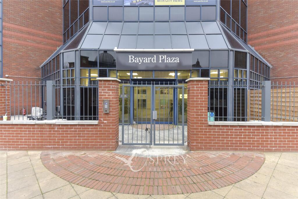
BAYARD APARTMENTS, BROADWAY, PETERBOROUGH, CITY OF PETERBOROUGH PE1 1RT

Property details
Floor area
61 m²
EPC rating
E
Street crime
815 incidents within 1 mile (Mar 2026)
Key features
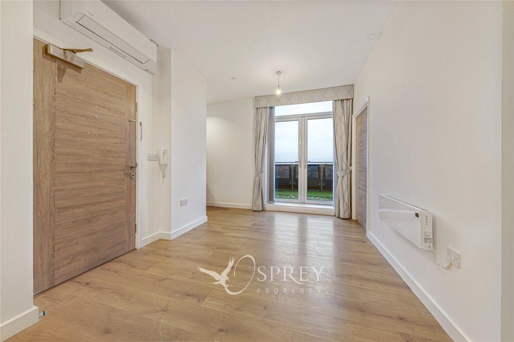
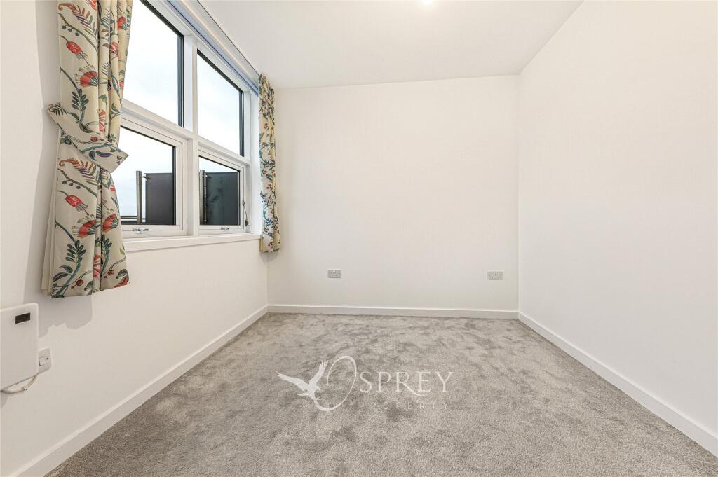
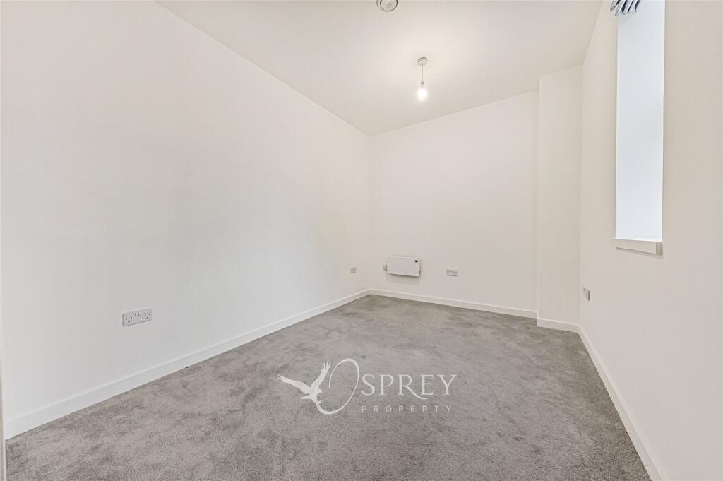
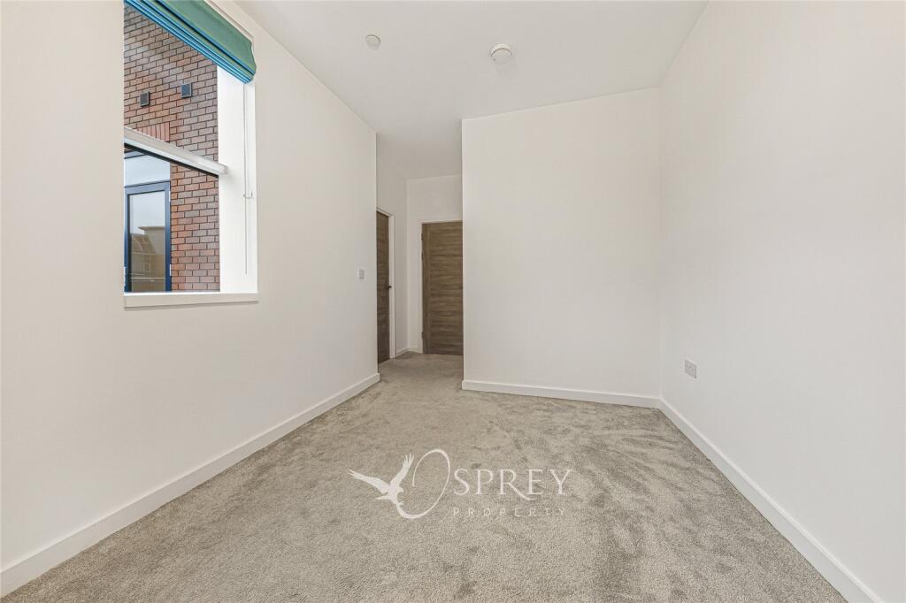
- Two bedrooms
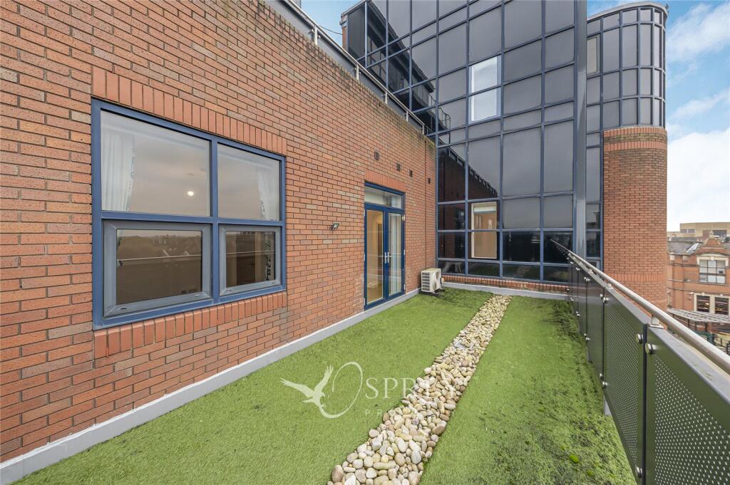
- Balcony
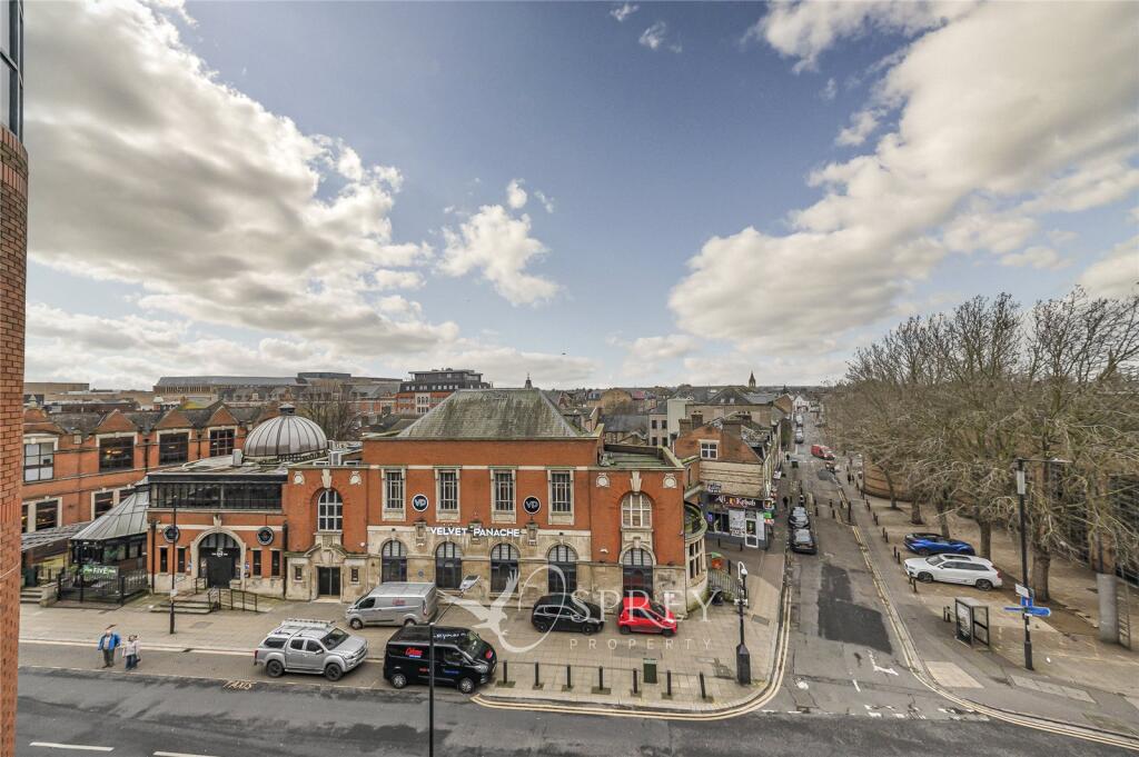
- Town centre location
- Parking
- Modern interior
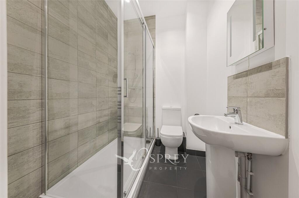
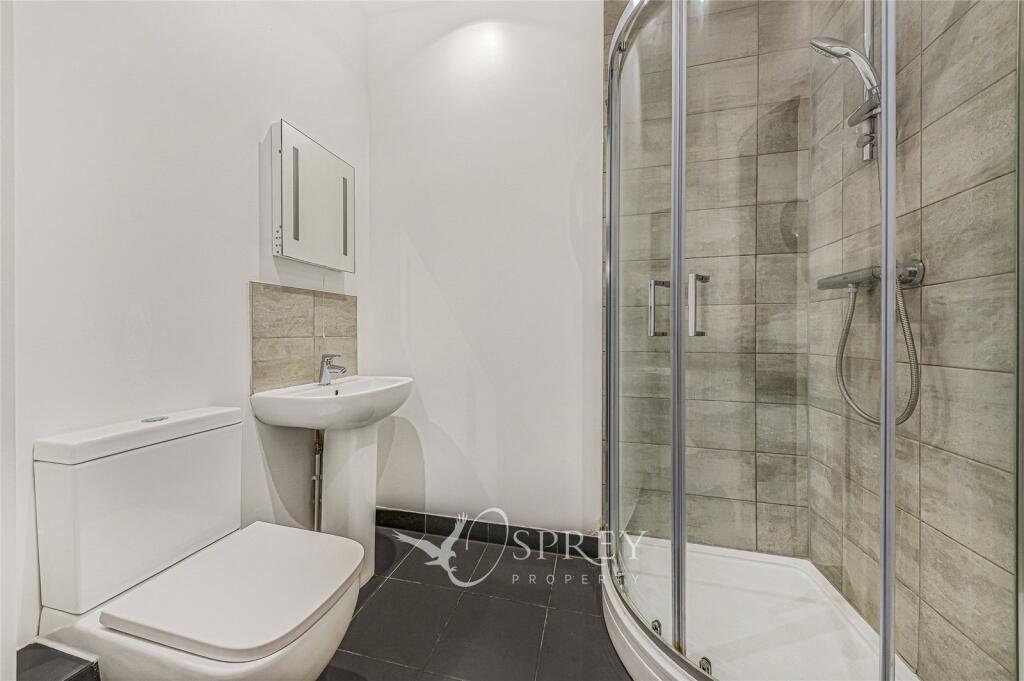
- Ensuite
Additional details
- Parking
- Yes
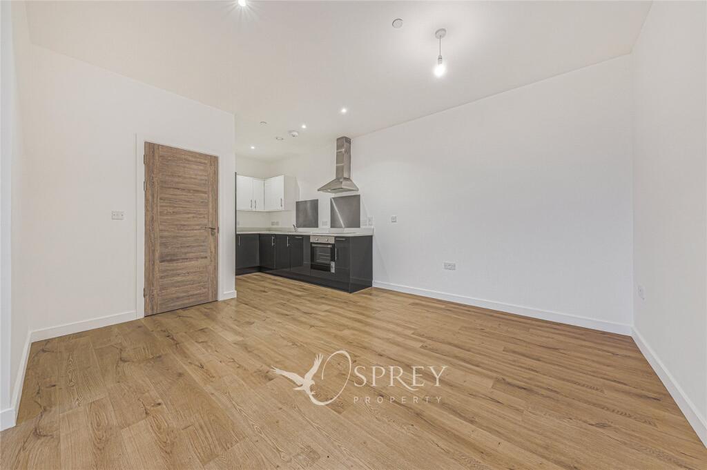
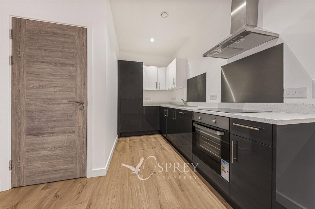
Description
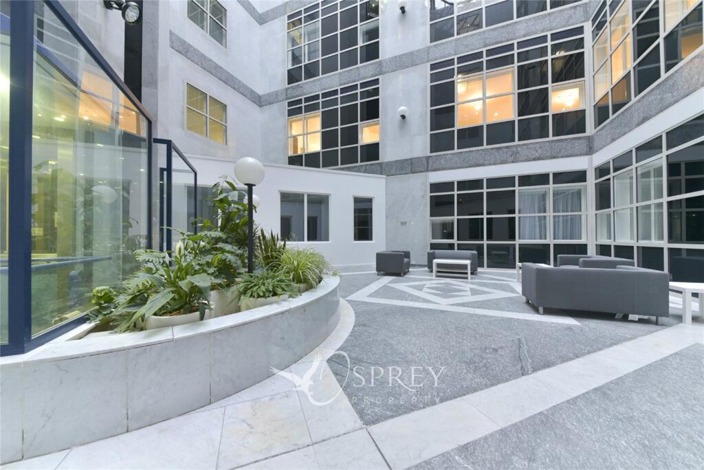
Enjoy the convenience of a balcony, perfect for relaxing and soaking in the views of the surrounding area. Residents parking is available, providing ease of access for those with vehicles.
The apartment is situated in a prime location, with easy access to local amenities, shops, and transport links. Don't miss the opportunity to make this contemporary and accessible property your new home. Contact us today to arrange a viewing and secure this fantastic living space.
Listed by
Oakham
Leaders and Romans Group
Reference: 170891744
EPC Rating & Upgrade Cost
Current rating: E
Potential rating: E
Inspection date: 09/02/2021
Current heating cost: £810/year
Potential heating cost: £810/year
Flood risk
Zone: 1
Risk: Low
Job (default Low)
Floorplans
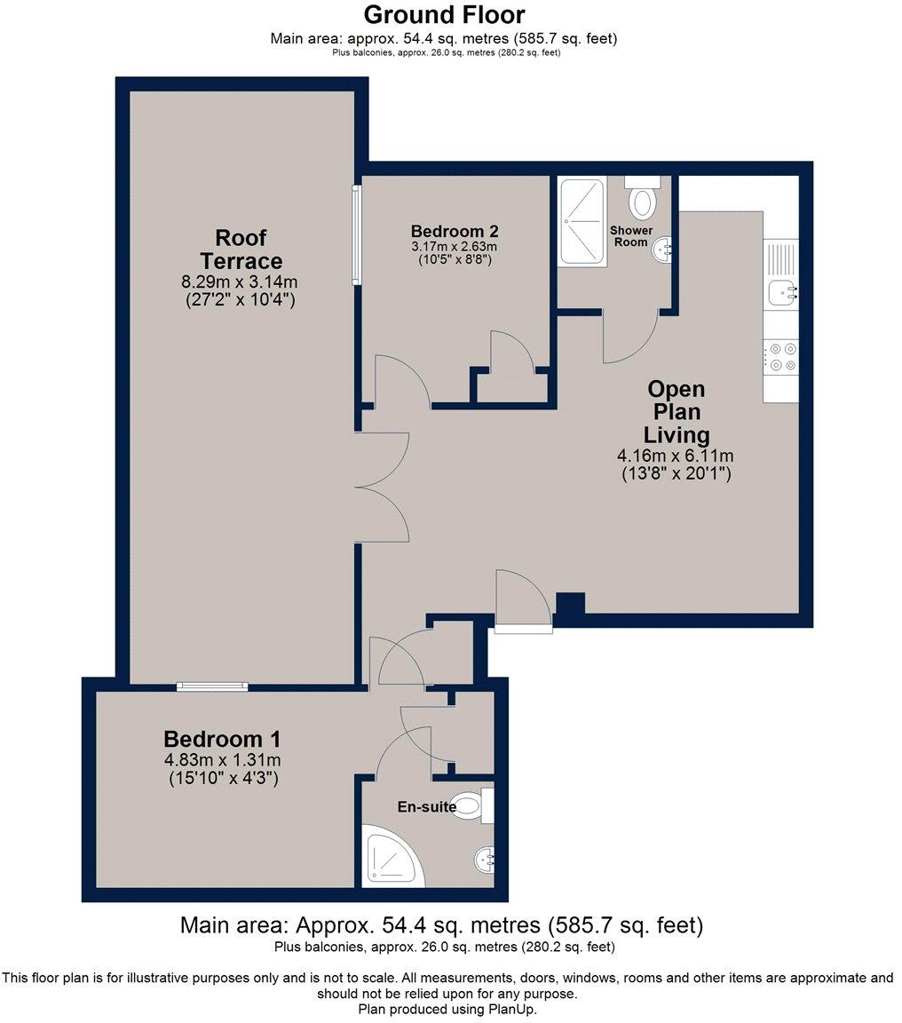
Picture No. 03
EPC Graphs
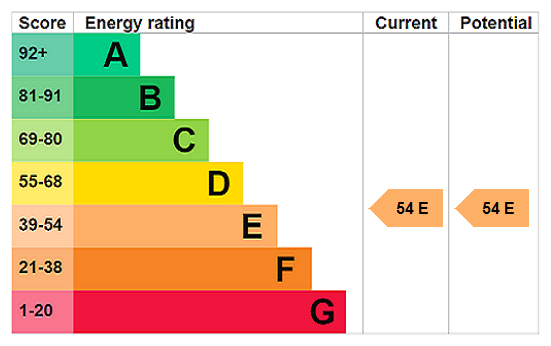
EPC Rating Graph
Rental Range
Estimated market rent for Peterborough. Low = conservative, Realistic = average, Optimistic = best case.
Based on Local Authority from postcode lookup → Peterborough.
LHA (30th percentile) floor for Peterborough: £698/mo (Apr 2025 – Mar 2026)
Location
Address
1 Cattle Market Road
Nearby
Nearest stations, universities and amenities (distance from property).
| Type | Name | Distance |
|---|---|---|
| Shop | Peterborough Central Library | 0.1 miles |
| Shop | Betfred | 0.1 miles |
| Bus stop | Tesco stop G | 0.1 miles |
| Bus stop | Tesco Stop H | 0.1 miles |
| University | City College Peterborough | 0.2 miles |
| University | ARU Peterborough | 0.4 miles |
| Train station | Peterborough | 0.4 miles |
| Train station | Peterborough (NVR) | 0.6 miles |
| Hospital | Peterborough City Hospital | 1.7 miles |
| Hospital | Stamford & Rutland Hospital | 11.0 miles |
Street-level crime
| Category | Count |
|---|---|
| Violence and sexual offences | 267 |
| Anti-social behaviour | 139 |
| Shoplifting | 77 |
| Public order | 66 |
| Criminal damage and arson | 54 |
| Drugs | 43 |
| Vehicle crime | 41 |
| Other theft | 37 |
| Burglary | 25 |
| Other crime | 22 |
| Possession of weapons | 16 |
| Robbery | 13 |
| Bicycle theft | 10 |
| Theft from the person | 5 |
| Total incidents | 815 |
Within 1 mile during Mar 2026. Source: data.police.uk (England & Wales).
Schools nearby
Nearest open schools with Ofsted ratings (England). Closed schools are not shown. Data from Get Information about Schools and Ofsted.
| Name | Type | Distance | Ofsted |
|---|---|---|---|
| Clare Lodge | Other | 0.3 miles | — (No rating) |
| Bishop Creighton Academy | Primary | 0.3 miles | Good — 26 Nov 2023 |
| The Beeches Primary School | Primary | 0.3 miles | Good — 15 Jan 2024 |
| The King's (The Cathedral) School | Secondary | 0.4 miles | Outstanding — 10 Sep 2024 |
| Lime Academy Abbotsmede | Primary | 0.6 miles | Good — 28 Apr 2022 |
Rental Comparables
Rental listings exist nearby, but none matched the 2-bedroom estimate from EPC for this property.