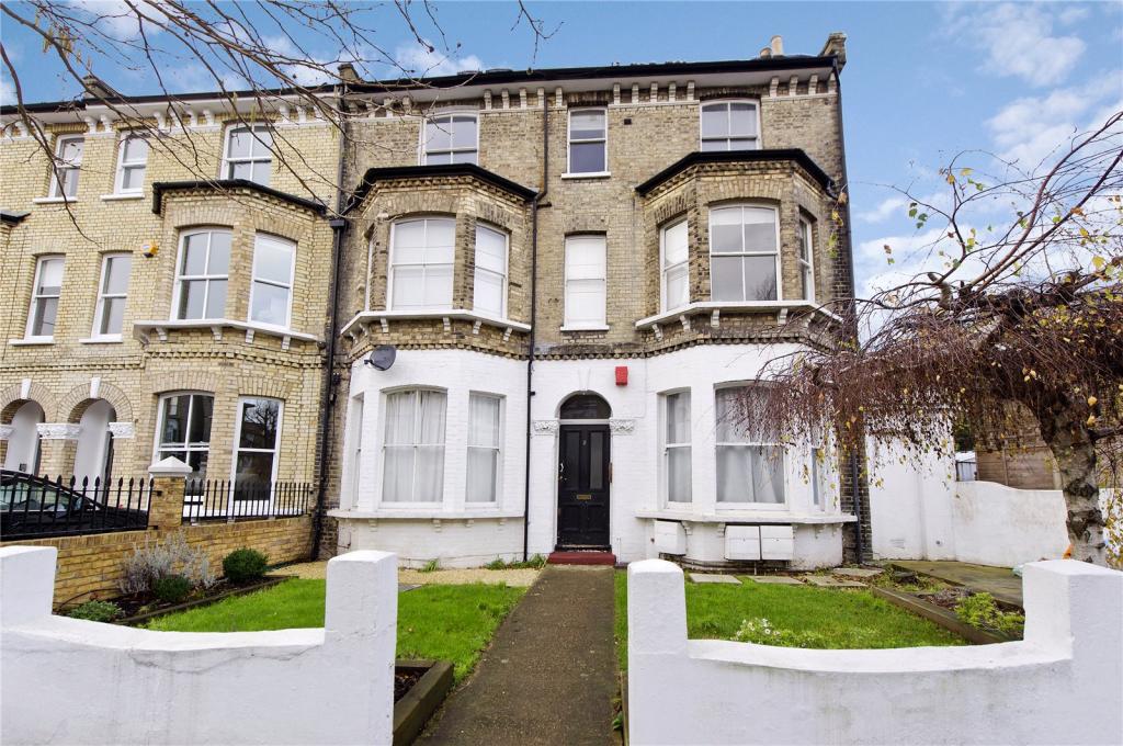
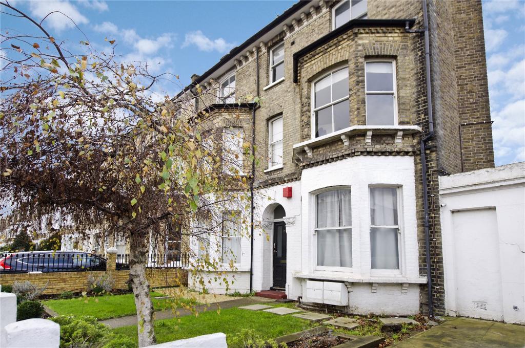
2 CHELSHAM ROAD
LONDON, GREATER LONDON SW4 6NP
£1,690 pcm
Property details
Floor area
57 m²
Deprivation
Decile 6 (18,592 of 33,755)
Street crime
1598 incidents within 1 mile (Apr 2026)
Key features
- Top Floor Flat
- Good transport links
- Newly Refurbished
- Light and spacious
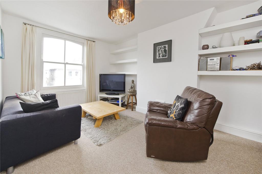
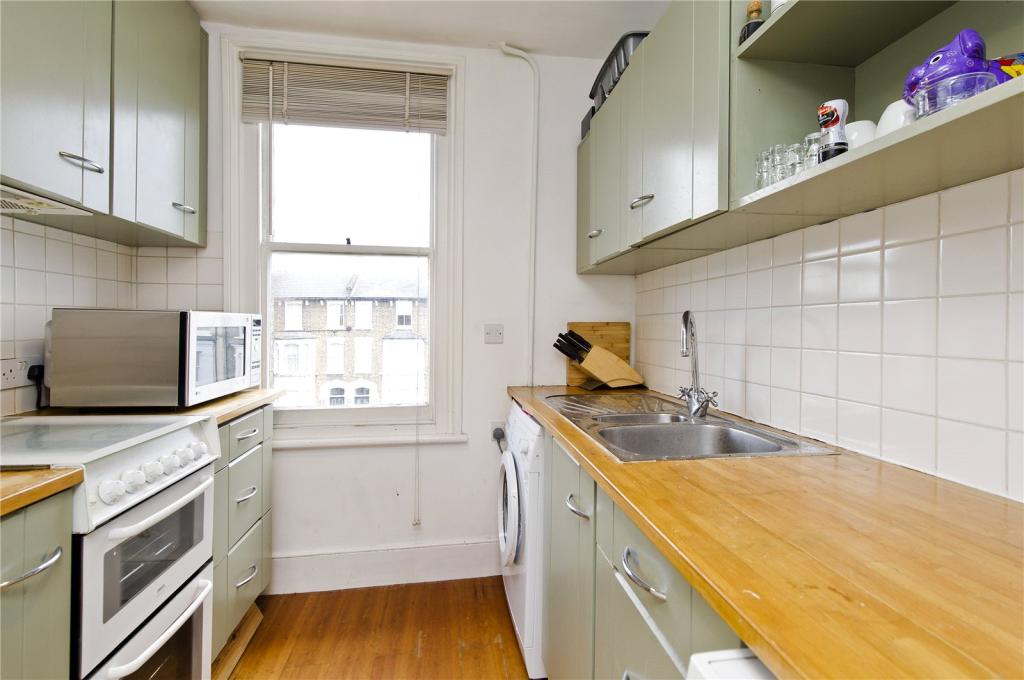
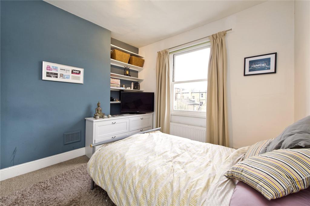
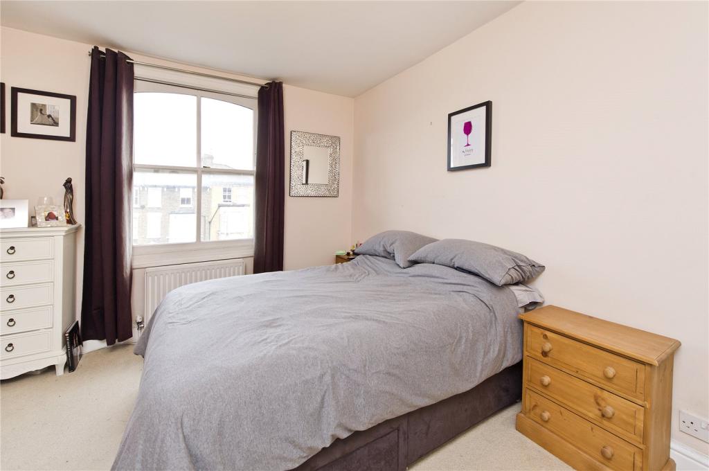
Description
Chelsham Road is located less than five minutes walk from the transport links at Clapham North (Northern Line Zone Two) and Clapham High Street train station (London Overland), providing excellent links into The City West end and Canary Wharf. The popular shops bars and restaurants of Clapham High Street are just moments away, as well as the green open spaces of Clapham Common.
Listed by
Clapham
Dexters
Reference: 63878551
EPC Rating & Upgrade Cost
Fetching EPC data… Refresh this page in a moment.
Flood risk
Zone: 1
Risk: Low
Job (default Low)
EPC Graphs
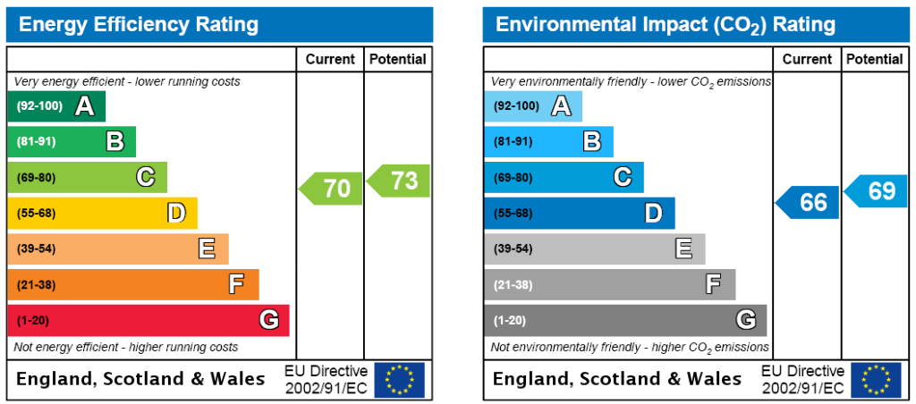
EPC Rating Graph
FENSA Certificates
This property has 2 FENSA certificate(s) on record, indicating window/door installations by FENSA-approved installers.
FENSA Certificate #16318669 Recent
Property Details
Street: 2 Chelsham Road
Town: LONDON
Postcode: SW4 6NP
Installation Details
Items: 11 windows
Certificate Issued: 26/05/2024
Work Completed: 14/05/2024
This certificate data was retrieved from FENSA's database
FENSA Certificate #9966176
Property Details
Street: 2 Chelsham Road
Town: LONDON
Postcode: SW4 6NP
Installation Details
Items: 1 window
Certificate Issued: 09/12/2013
Work Completed: 11/11/2013
This certificate data was retrieved from FENSA's database
What is FENSA? FENSA (Fenestration Self-Assessment Scheme) is a government-authorised scheme that monitors building regulation compliance for replacement windows and doors. Certificates indicate that work was completed by FENSA-approved installers.
Company ownership
Registered legal owner is a company.
Company: 2 CHELSHAM ROAD MANAGEMENT COMPANY LIMITED (05973402)
Rental Range
Estimated market rent for Lambeth. Low = conservative, Realistic = average, Optimistic = best case.
Based on Local Authority from postcode lookup → Lambeth.
LHA (30th percentile) floor for Stevenage & North Herts: £972/mo (Apr 2025 – Mar 2026)
Location
Nearby
Nearest stations, universities and amenities (distance from property).
| Type | Name | Distance |
|---|---|---|
| Shop | Castro Beauty Bar | 0.1 miles |
| Shop | Dreams | 0.1 miles |
| Bus stop | Union Road | 0.1 miles |
| Bus stop | Clapham Road / Bedford Road | 0.2 miles |
| Train station | Clapham North | 0.2 miles |
| Train station | Clapham High Street | 0.2 miles |
| University | University of Wales Trinity Saint David London Campus | 1.2 miles |
| Hospital | Bridge Lane Health Centre | 1.6 miles |
| Hospital | King's College Hospital Emergency Department | 1.6 miles |
| University | National Heart and Lung Institute | 2.2 miles |
Street-level crime
| Category | Count |
|---|---|
| Violence and sexual offences | 328 |
| Anti-social behaviour | 308 |
| Shoplifting | 184 |
| Theft from the person | 178 |
| Other theft | 107 |
| Vehicle crime | 95 |
| Criminal damage and arson | 77 |
| Public order | 75 |
| Robbery | 65 |
| Drugs | 60 |
| Burglary | 51 |
| Bicycle theft | 48 |
| Other crime | 13 |
| Possession of weapons | 9 |
| Total incidents | 1598 |
Within 1 mile during Apr 2026. Source: data.police.uk (England & Wales).
Schools nearby
Nearest open schools with Ofsted ratings (England). Closed schools are not shown. Data from Get Information about Schools and Ofsted.
| Name | Type | Distance | Ofsted |
|---|---|---|---|
| Larkhall Primary Campus | Primary | 0.2 miles | Good — 25 Sep 2023 |
| St Andrew's Church of England Primary School | Primary | 0.4 miles | Good — 4 Mar 2019 |
| Allen Edwards Primary School | Primary | 0.4 miles | Good — 15 Sep 2024 |
| Clapham Manor Primary School | Primary | 0.4 miles | Good — 15 Nov 2022 |
| Lansdowne School | Other | 0.5 miles | Good — 2 Dec 2016 |
Rental Comparables
Rental listings exist nearby, but none matched the 2-bedroom count for this property.