14
DUNSTABLE COURT, DUNSTABLE ROAD, LUTON, LUTON LU4 8DB
£1,000 pcm
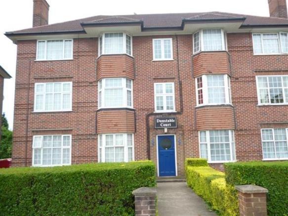
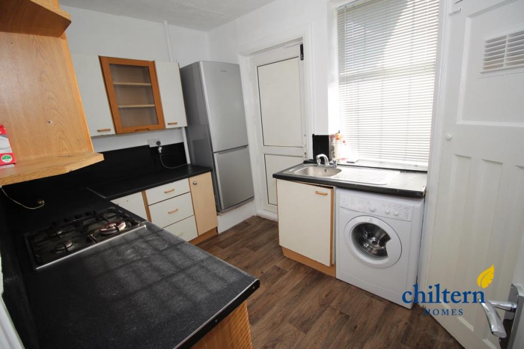
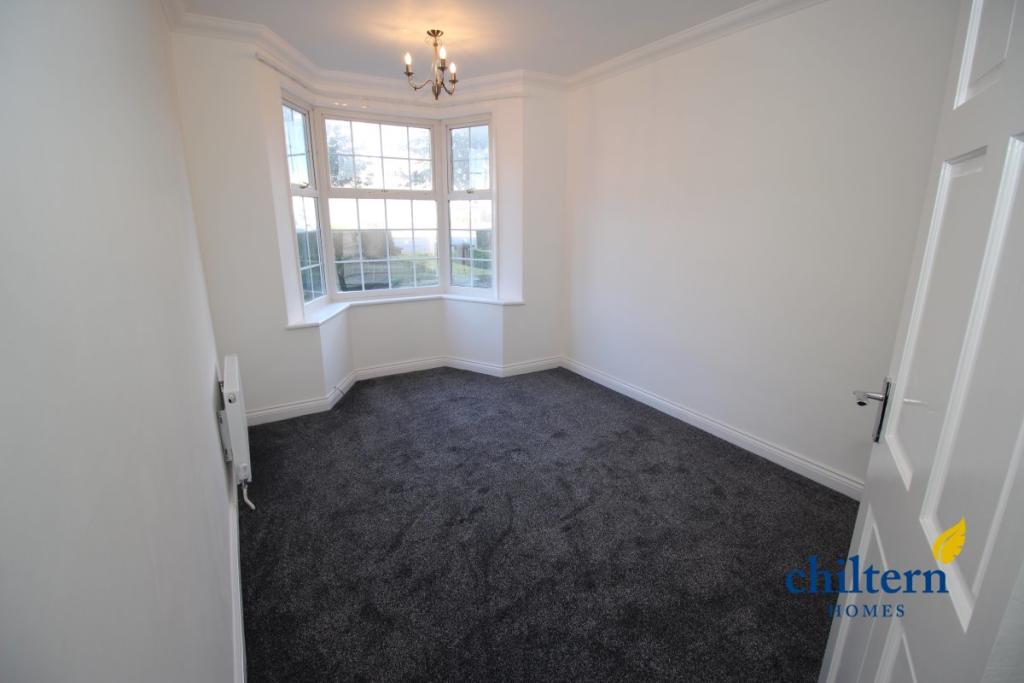
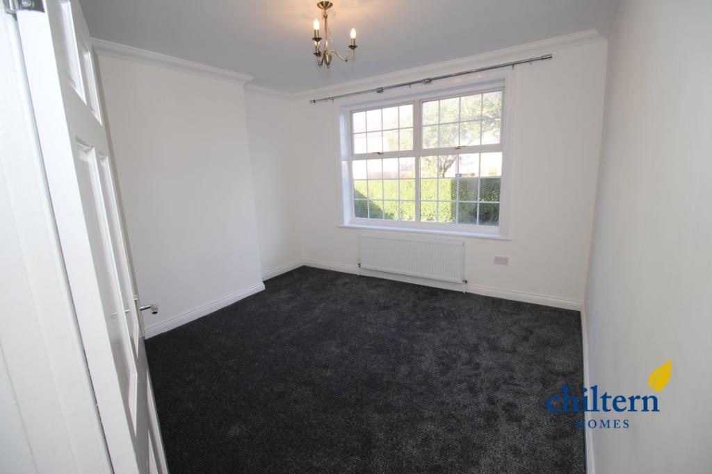
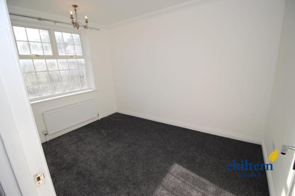
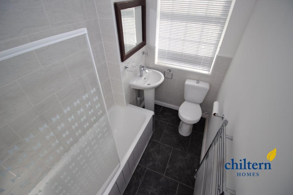
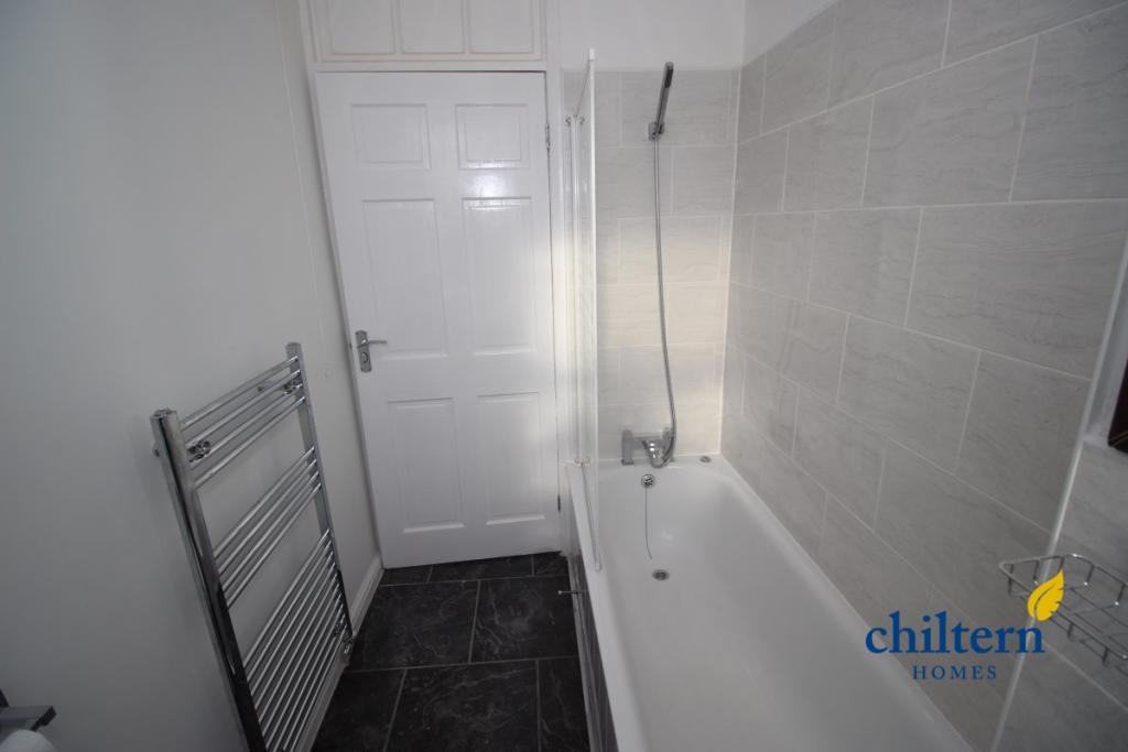
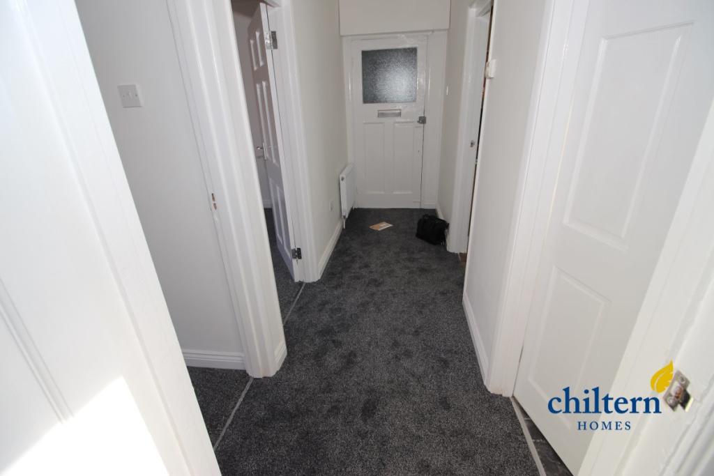
Photo 1 Photo 2 Photo 3 Photo 4 Photo 5 Photo 6 Photo 7 Photo 8
/ 8
Property details
Floor area
59 m²
Council tax band
A
Deprivation
Decile 2 (5,673 of 33,755)
Street crime
344 incidents within 1 mile (Apr 2026)
Key features
- 2 Bedroom Flat
- Very Spacious
- Fitted Kitchen
- 1 Bathroom
- Gas Central Heating
- Gas Cooker
- Private Parking
- Front/Rear Access
- Laminate Flooring
- A Must See
Additional details
- Parking
- Off street
Description
Approximate Measurements.
Hall Way: 3.93 x 1.17
Living Room: 3.69 x 2.90
Master Bedroom: 3.76 x 3.60
Second Bedroom: 3.82 x 2.45
Kitchen: 3.01 x 2.37
Bathroom: 2.41 x 1.55
Listed by
Luton
lutonhomes ltd
Reference: 128463299
EPC Rating & Upgrade Cost
Fetching EPC data… Refresh this page in a moment.
Flood risk
Zone: 1
Risk: Low
Job (default Low)
EPC Graphs
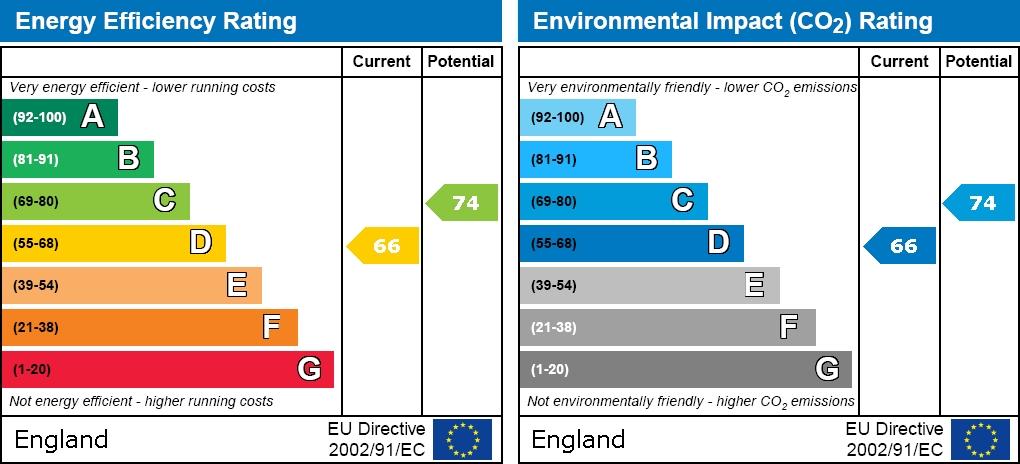
EPC graph
Rental Range
Estimated market rent for Luton. Low = conservative, Realistic = average, Optimistic = best case.
Based on Local Authority from postcode lookup → Luton.
LHA (30th percentile) floor for Luton: £873/mo (Apr 2025 – Mar 2026)
Location
Address
407 Dunstable Road
Nearby
Nearest stations, universities and amenities (distance from property).
| Type | Name | Distance |
|---|---|---|
| Shop | A2Z Computing | 0.0 miles |
| Shop | Tyre Warehouse | 0.0 miles |
| Bus stop | Unknown | 0.1 miles |
| Train station | Leagrave | 1.1 miles |
| Hospital | Luton and Dunstable Hospital | 1.2 miles |
| Train station | Luton | 1.5 miles |
| University | University of Bedfordshire | 1.8 miles |
| University | University of Bedfordshire Luton Campus | 1.8 miles |
| Hospital | Widecombe Nursing Home | 2.0 miles |
Street-level crime
| Category | Count |
|---|---|
| Violence and sexual offences | 155 |
| Anti-social behaviour | 46 |
| Criminal damage and arson | 29 |
| Vehicle crime | 29 |
| Other theft | 23 |
| Drugs | 15 |
| Public order | 14 |
| Other crime | 12 |
| Shoplifting | 8 |
| Robbery | 5 |
| Burglary | 4 |
| Possession of weapons | 4 |
| Total incidents | 344 |
Within 1 mile during Apr 2026. Source: data.police.uk (England & Wales).
Schools nearby
Nearest open schools with Ofsted ratings (England). Closed schools are not shown. Data from Get Information about Schools and Ofsted.
| Name | Type | Distance | Ofsted |
|---|---|---|---|
| Maidenhall Primary School | Primary | 0.3 miles | Good — 23 Jan 2022 |
| Downside Primary School | Primary | 0.4 miles | Good — 5 Jun 2015 |
| Jamiatul Uloom Al - Islamia | Other | 0.5 miles | Good — 1 Aug 2022 |
| Foxdell Primary School | Primary | 0.5 miles | Good — 5 Mar 2018 |
| Denbigh Primary School | Primary | 0.6 miles | Outstanding — 13 Jan 2019 |
Rental Comparables
Rental comparables are temporarily unavailable while listing-site fetches are paused. Try again later.