Thirlmere Grove
Weston Coyney, ST3 5HZ
£950 pcm
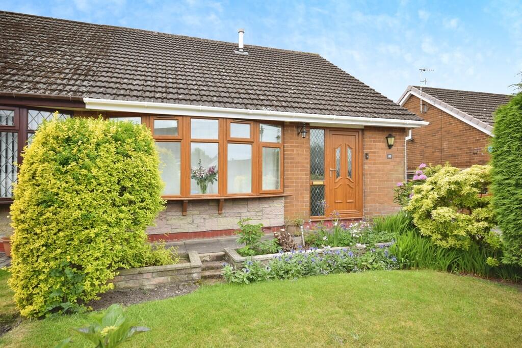
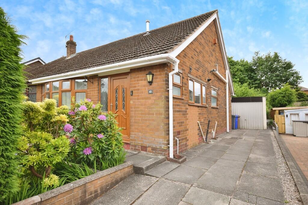
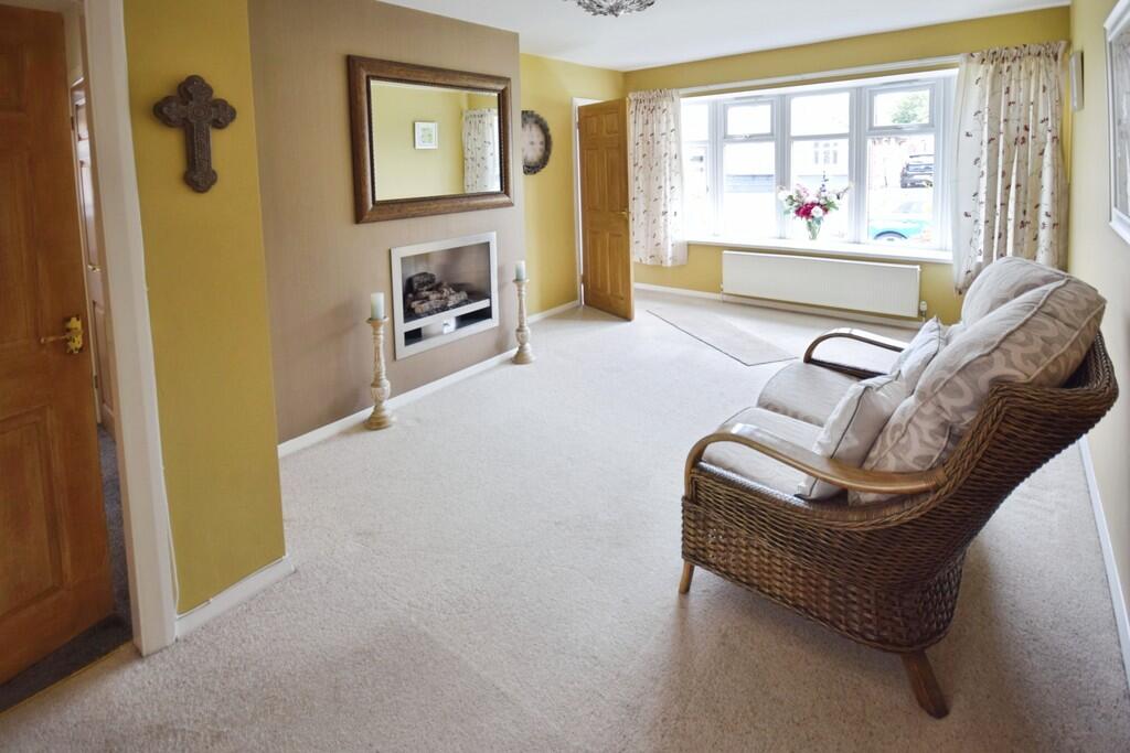
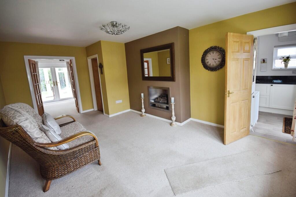
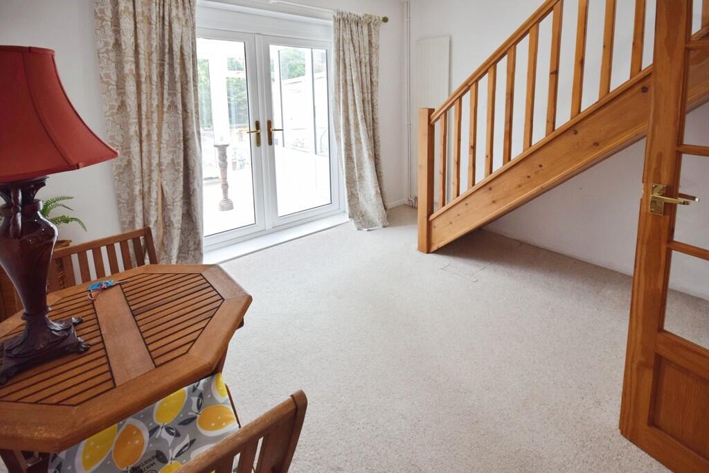
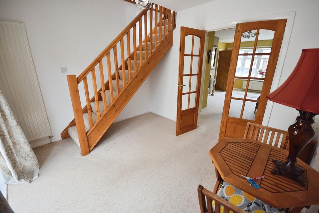
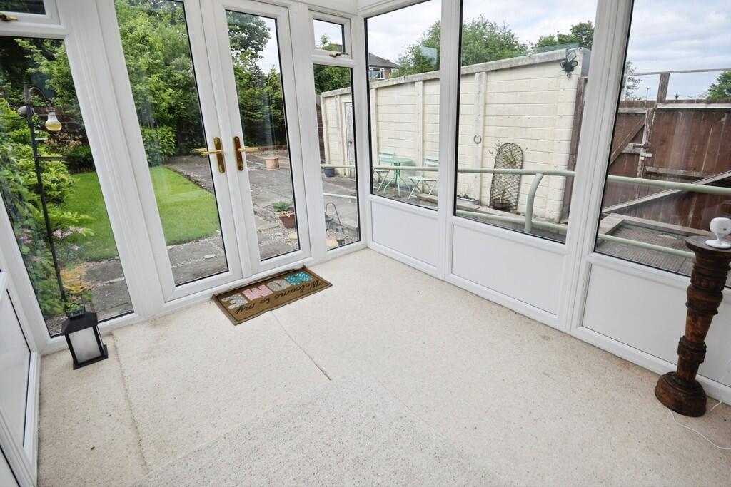
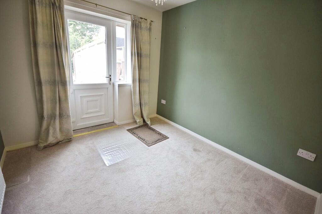
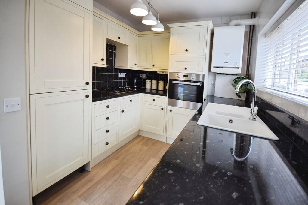
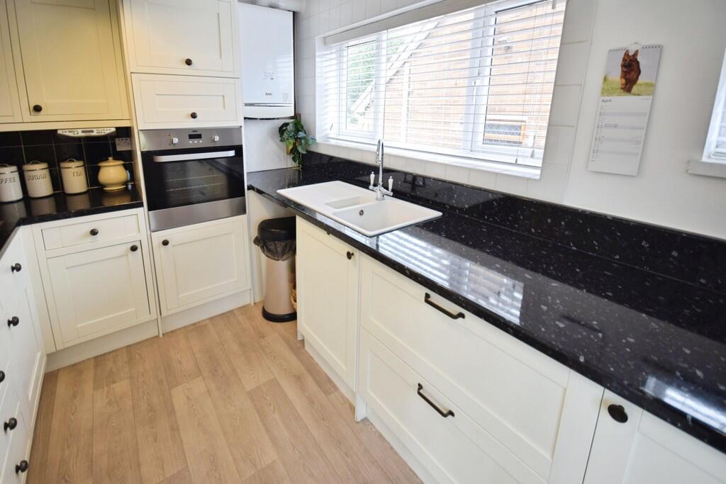
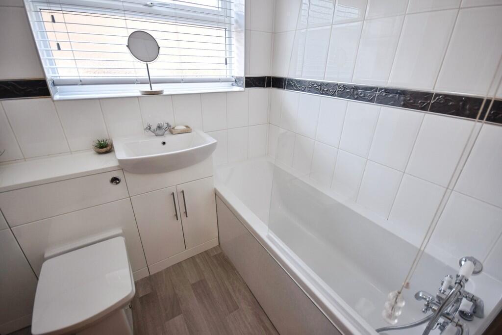
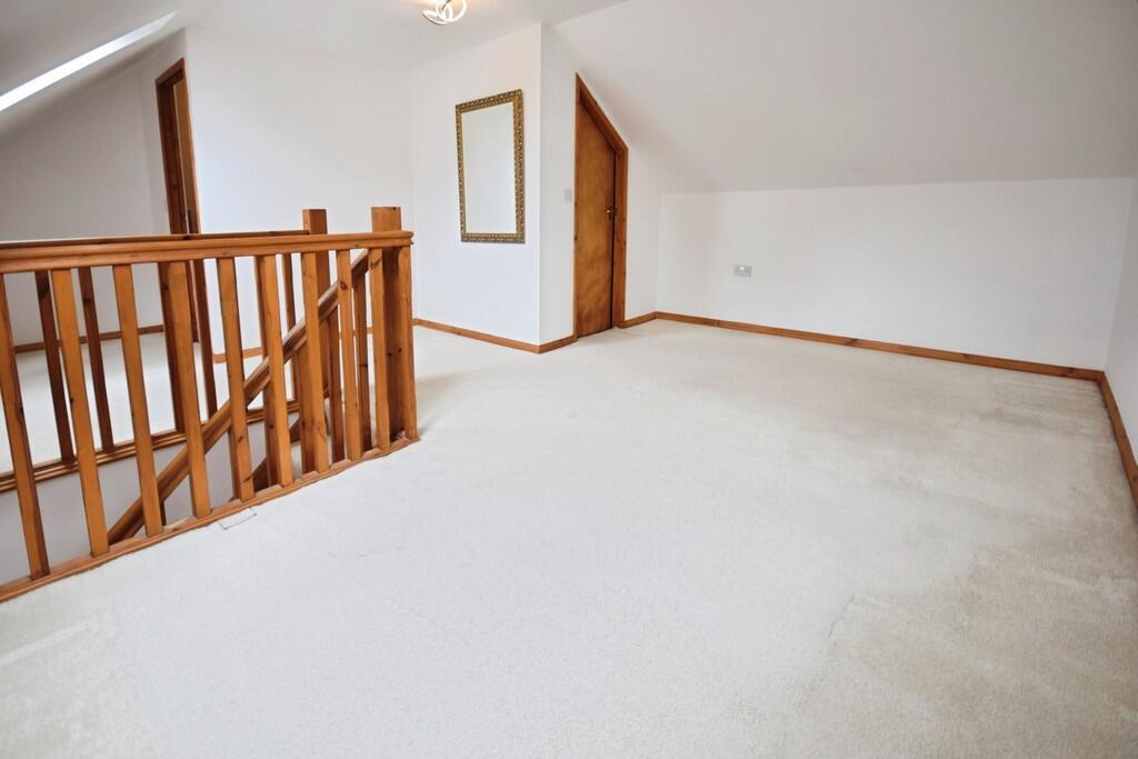
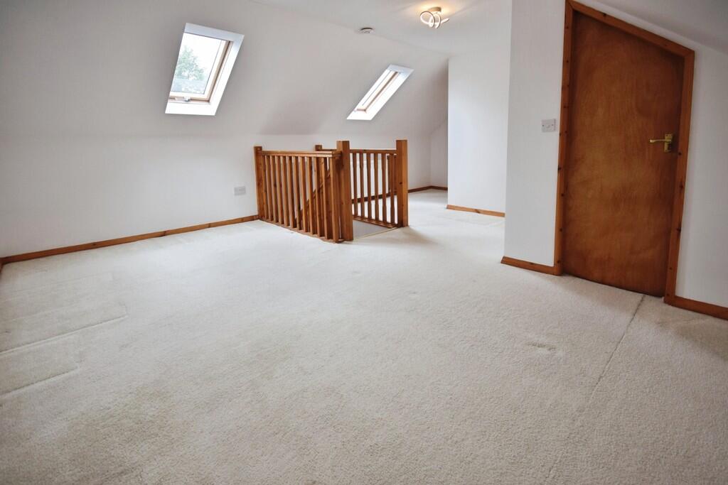
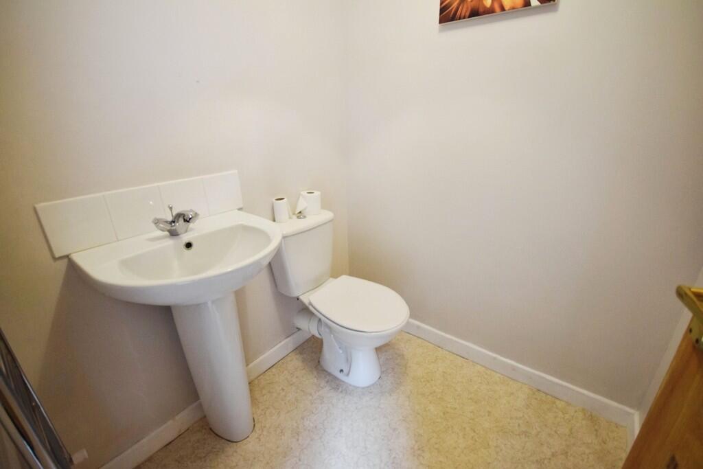
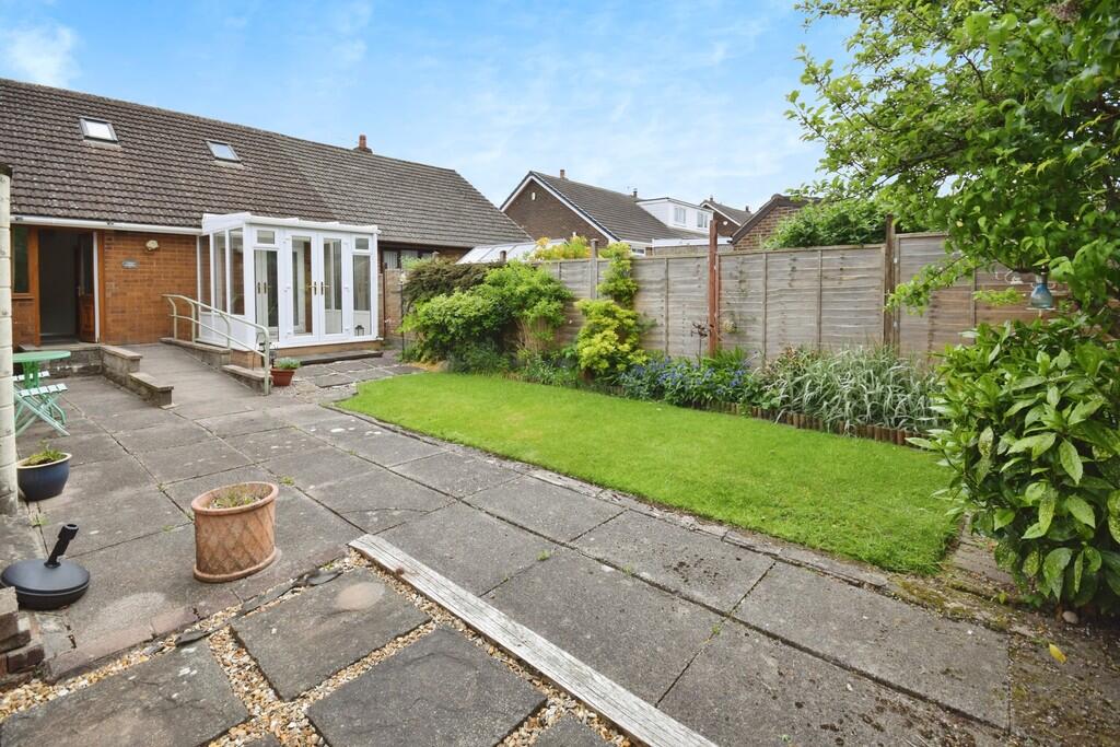
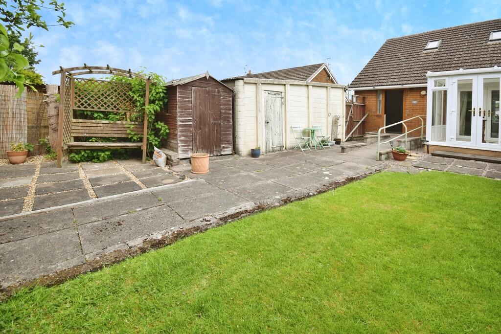
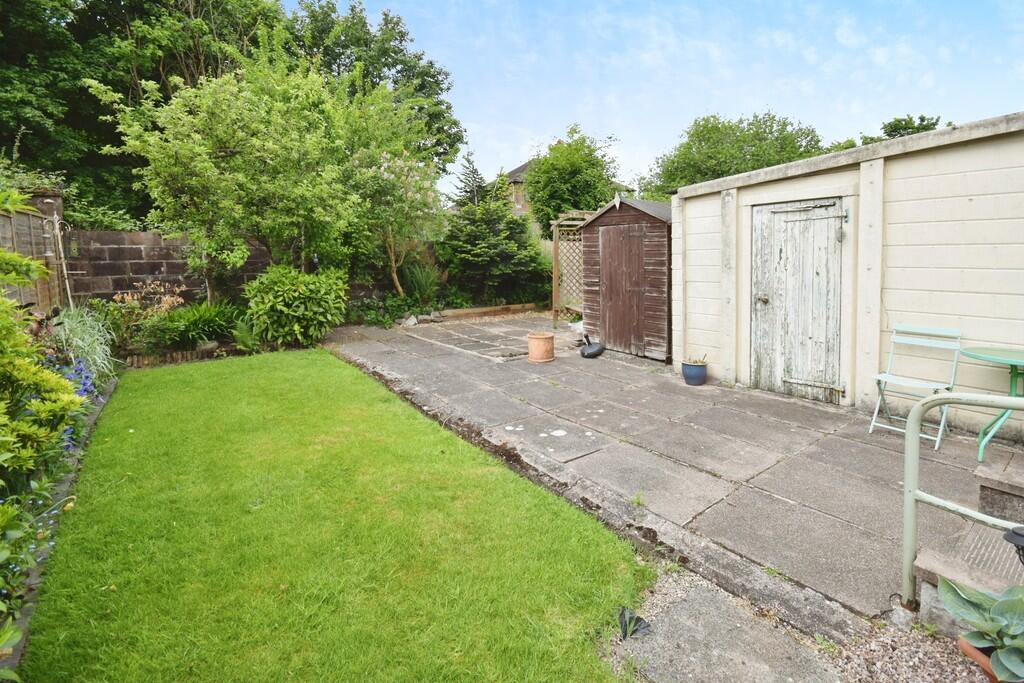
Photo 1 Photo 2 Photo 3 Photo 4 Photo 5 Photo 6 Photo 7 Photo 8 Photo 9 Photo 10 Photo 11 Photo 12 Photo 13 Photo 14 Photo 15 Photo 16 Photo 17
/ 17
Property details
Council tax band
B
Deprivation
Decile 6 (19,105 of 33,755)
Street crime
331 incidents within 1 mile (Apr 2026)
Key features
- Semi detached bungalow
- Lounge
- Conservatory
- Dining room
- Kitchen
- Bathroom
- 2 Bedrooms
- En suite Wc
- Council tax band B
- Gardens and garage
Additional details
- Parking
- Yes
- Garden
- Yes
Description
Listed by
Stoke On Trent
The Property Franchise Group
Reference: 89129778
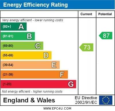
EPC ratings on this postcode
We don't have a matched EPC for this property yet. Below are efficiency scores and details for other addresses on this postcode.
| Address | Current | Potential | Floor area | Age band | Type |
|---|---|---|---|---|---|
| 10 Thirlmere Grove, STOKE-ON-TRENT | 73 | 87 | 82 m² | England and Wales: 1967-1975 | Detached |
| 10 Thirlmere Grove, STOKE-ON-TRENT | 66 | 81 | 86 m² | England and Wales: 1967-1975 | Detached |
| 11, Thirlmere Grove, STOKE-ON-TRENT | 58 | 85 | 76 m² | England and Wales: 1967-1975 | Detached |
| 13 Thirlmere Grove, STOKE-ON-TRENT | 69 | 89 | 54 m² | England and Wales: 1967-1975 | Detached |
| 16 Thirlmere Grove, STOKE-ON-TRENT | 63 | 83 | 83 m² | England and Wales: 1950-1966 | Detached |
| 17 Thirlmere Grove, STOKE-ON-TRENT | 58 | 83 | 79 m² | England and Wales: 1967-1975 | Detached |
| 19 THIRLMERE GROVE, LONGTON, STOKE-ON-TRENT, STOKE-ON-TRENT | 77 | 81 | 55 m² | England and Wales: 1950-1966 | Detached |
| 21 Thirlmere Grove, STOKE-ON-TRENT | 59 | 84 | 57 m² | England and Wales: 1967-1975 | Detached |
| 23, Thirlmere Grove, STOKE-ON-TRENT | 60 | 85 | 55 m² | England and Wales: 1967-1975 | Detached |
| 24, Thirlmere Grove, STOKE-ON-TRENT | 56 | 81 | 81 m² | England and Wales: 1967-1975 | Detached |
| 24, Thirlmere Grove, STOKE-ON-TRENT | 62 | 84 | 81 m² | England and Wales: 1967-1975 | Detached |
| 25, Thirlmere Grove, STOKE-ON-TRENT | 68 | 87 | 54 m² | England and Wales: 1950-1966 | Detached |
| 26 Thirlmere Grove, STOKE-ON-TRENT | 48 | 87 | 54 m² | England and Wales: 1950-1966 | Detached |
| 28 Thirlmere Grove, STOKE-ON-TRENT | 70 | 81 | 103 m² | England and Wales: 1967-1975 | Detached |
| 28, Thirlmere Grove, STOKE-ON-TRENT | 58 | 83 | 81 m² | England and Wales: 1967-1975 | Detached |
Flood risk
Zone: 1
Risk: Low
Job (default Low)
EPC Graphs
EPC 1
Rental Range
Estimated market rent for Stoke-on-Trent. Low = conservative, Realistic = average, Optimistic = best case.
Based on Local Authority from postcode lookup → Stoke-on-Trent.
LHA (30th percentile) floor for Staffordshire North: £479/mo (Apr 2025 – Mar 2026)
Location
Address
Thirlmere Grove
Nearby
Nearest stations, universities and amenities (distance from property).
| Type | Name | Distance |
|---|---|---|
| Shop | Johnsons Autos | 0.3 miles |
| Shop | Unknown | 0.3 miles |
| Bus stop | Unknown | 0.3 miles |
| Train station | Longton | 0.9 miles |
| Train station | Caverswall Road | 2.3 miles |
| Hospital | Royal Stoke University Hospital | 4.2 miles |
| Hospital | North Staffordshire Nuffield Hospital | 4.5 miles |
| University | Keele University | 6.5 miles |
| University | Buxton & Leek College | 9.3 miles |
Street-level crime
| Category | Count |
|---|---|
| Violence and sexual offences | 123 |
| Anti-social behaviour | 53 |
| Criminal damage and arson | 29 |
| Shoplifting | 28 |
| Other theft | 22 |
| Public order | 21 |
| Other crime | 16 |
| Drugs | 12 |
| Vehicle crime | 10 |
| Burglary | 7 |
| Possession of weapons | 5 |
| Robbery | 3 |
| Bicycle theft | 1 |
| Theft from the person | 1 |
| Total incidents | 331 |
Within 1 mile during Apr 2026. Source: data.police.uk (England & Wales).
Schools nearby
Nearest open schools with Ofsted ratings (England). Closed schools are not shown. Data from Get Information about Schools and Ofsted.
| Name | Type | Distance | Ofsted |
|---|---|---|---|
| Alexandra Infants' School | Primary | 0.3 miles | Requires improvement — 22 Jan 2023 |
| Abbey Hill Academy & College | Other | 0.4 miles | Good — 3 Mar 2014 |
| Alexandra Junior School | Primary | 0.5 miles | Good — 15 Jan 2023 |
| Park Hall Academy | Primary | 0.7 miles | Good — 9 Feb 2011 |
| Rowan House School | Other | 0.7 miles | Good — 21 Apr 2024 |
Rental Comparables
Residential lets from OpenRent and Rightmove for the area (same bedroom count). Use to validate rent estimates. Student lets are excluded.
Average rent: £805/mo (15 listings)
Enter House Number
Enter the house number to help us retrieve more accurate pricing history and property data.
Please log in to submit or correct the house number for this listing.
Log in to continue