22 HACKBRIDGE ROAD
WALLINGTON, GREATER LONDON SM6 7AX
£2,300 pcm
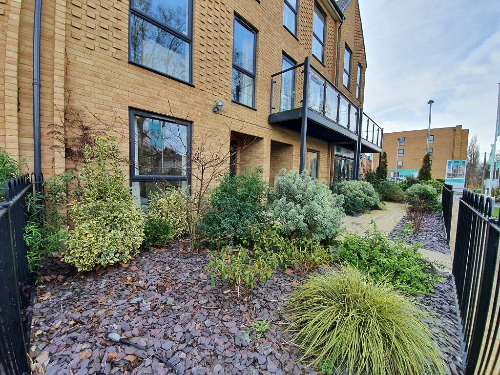
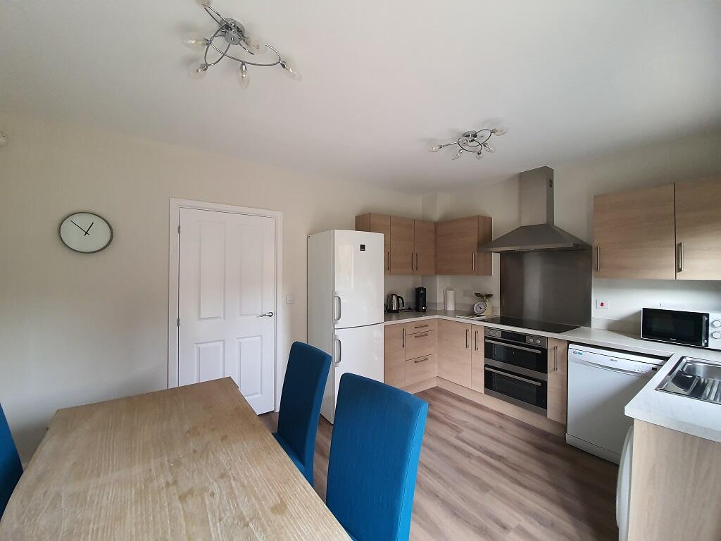
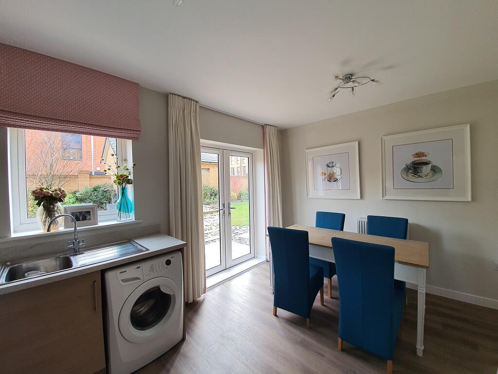
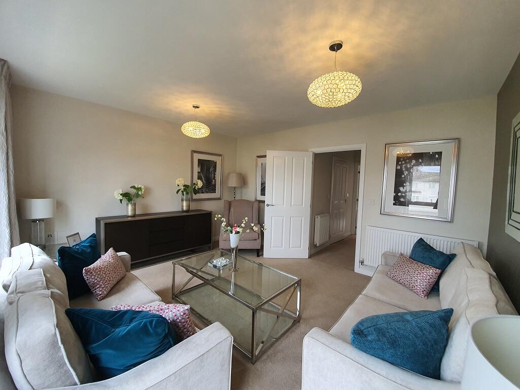
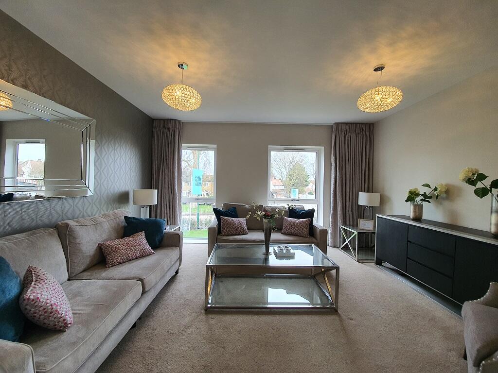
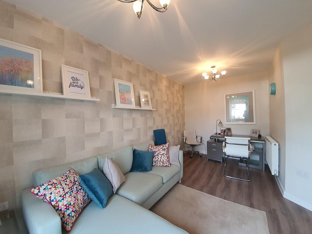
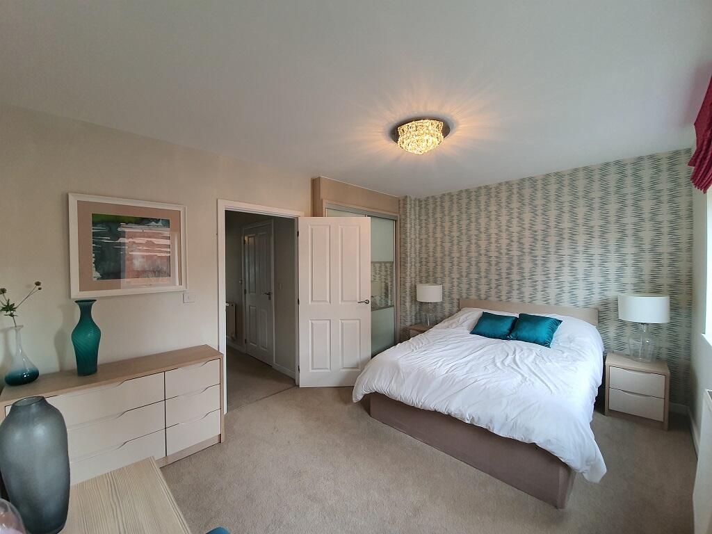
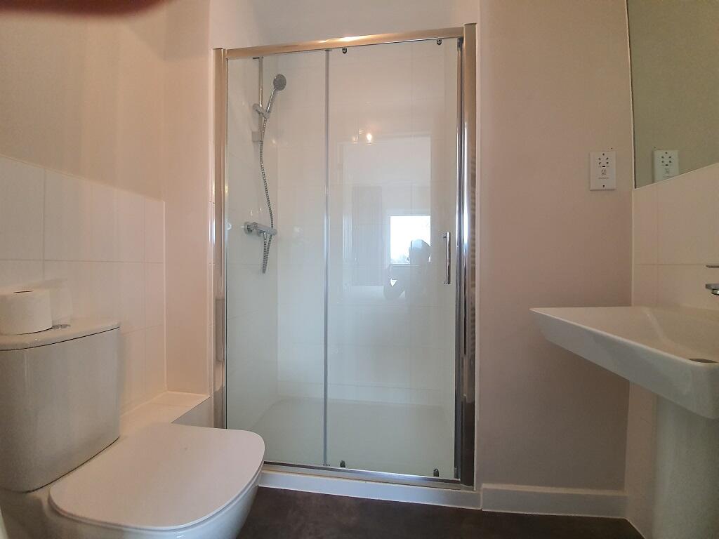
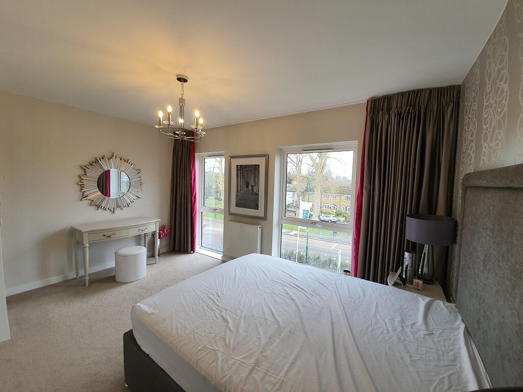
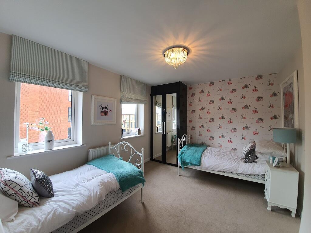
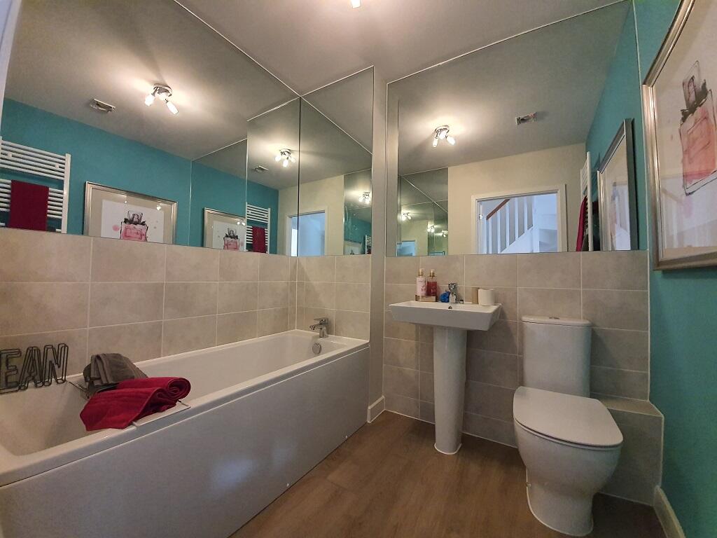
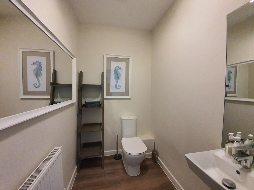
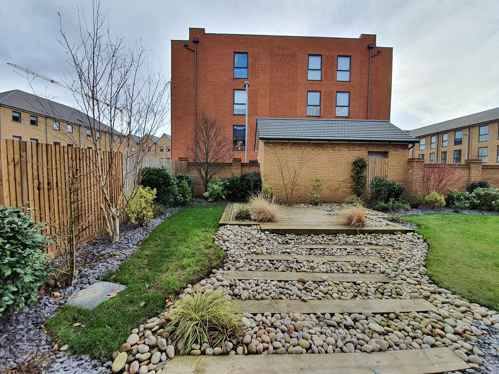
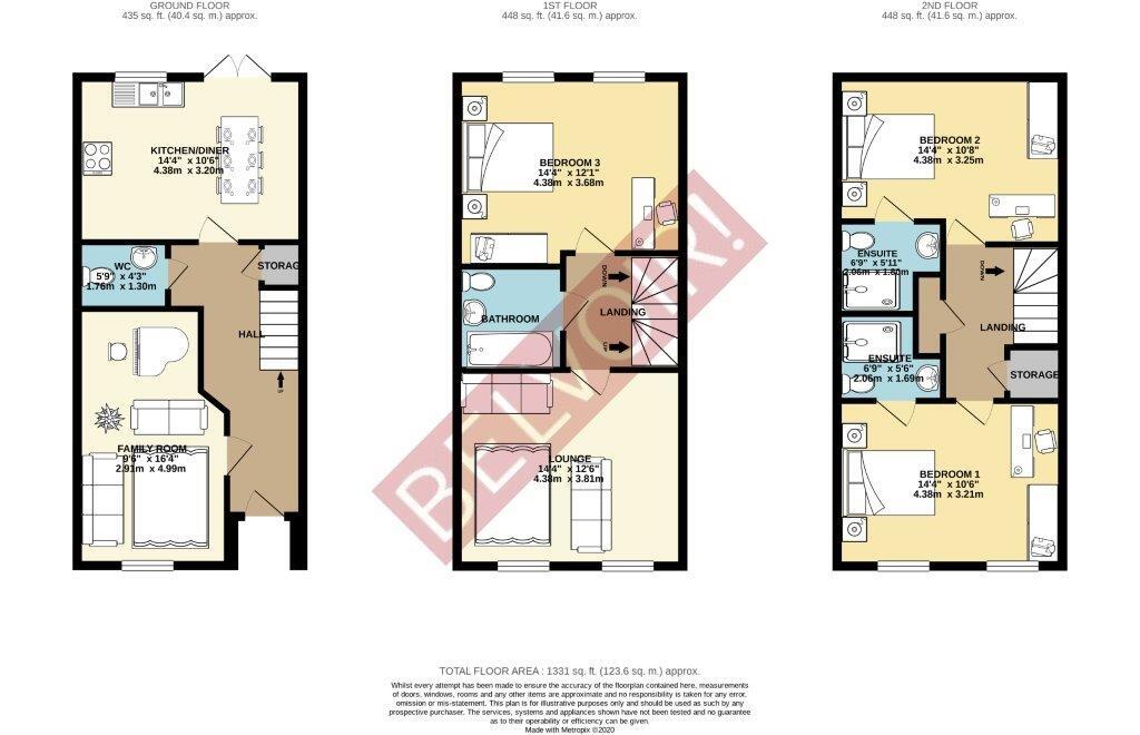
Photo 1 Photo 2 Photo 3 Photo 4 Photo 5 Photo 6 Photo 7 Photo 8 Photo 9 Photo 10 Photo 11 Photo 12 Photo 13 Photo 14
/ 14
Property details
Floor area
129 m²
Council tax band
E
Street crime
306 incidents within 1 mile (Apr 2026)
Key features
- 3 bedroom town house
- 2 allocated parking spaces
- 3 bathrooms (2 en suite)
- Landscaped Gardens
- Council tax band - E
- Holding deposit - £530
- Double glazing
- Shower
Additional details
- Heating
- Electric, Double glazing, Central
- Parking
- Off street, Private
- Garden
- Private garden
Description
Listed by
Welwyn
The Property Franchise Group
Reference: 146756471
EPC Rating & Upgrade Cost
Fetching EPC data… Refresh this page in a moment.
Flood risk
Zone: 1
Risk: Low
Job (default Low)
EPC Graphs

EPC Certificate
Rental Range
Estimated market rent for Sutton. Low = conservative, Realistic = average, Optimistic = best case.
Based on Local Authority from postcode lookup → Sutton.
LHA (30th percentile) floor for South East Herts: £1,366/mo (Apr 2025 – Mar 2026)
Location
Nearby
Nearest stations, universities and amenities (distance from property).
| Type | Name | Distance |
|---|---|---|
| Bus stop | Corbet Close | 0.0 miles |
| Shop | Lidl | 0.1 miles |
| Shop | B3 | 0.1 miles |
| Train station | Hackbridge | 0.2 miles |
| Train station | Carshalton | 0.8 miles |
| Hospital | Queen Mary's Childrens' Hospital | 1.2 miles |
| Hospital | Chapel Orchard Day Surgery | 1.8 miles |
| University | Horton Halls Reception | 4.1 miles |
| University | BIMM Institute London | 7.2 miles |
Street-level crime
| Category | Count |
|---|---|
| Violence and sexual offences | 104 |
| Anti-social behaviour | 58 |
| Shoplifting | 35 |
| Vehicle crime | 27 |
| Public order | 17 |
| Burglary | 15 |
| Other theft | 14 |
| Drugs | 11 |
| Criminal damage and arson | 9 |
| Other crime | 6 |
| Robbery | 5 |
| Theft from the person | 4 |
| Possession of weapons | 1 |
| Total incidents | 306 |
Within 1 mile during Apr 2026. Source: data.police.uk (England & Wales).
Schools nearby
Nearest open schools with Ofsted ratings (England). Closed schools are not shown. Data from Get Information about Schools and Ofsted.
| Name | Type | Distance | Ofsted |
|---|---|---|---|
| Hackbridge Primary School | Primary | 0.1 miles | Good — 28 Apr 2014 |
| Culvers House Primary School | Primary | 0.2 miles | Good — 4 Jul 2023 |
| Spencer Nursery School | Nursery | 0.5 miles | Good — 20 Mar 2013 |
| Muschamp Primary School and Language Opportunity Base | Primary | 0.6 miles | Requires improvement — 30 Jul 2023 |
| Victor Seymour Infants' School | Primary | 0.6 miles | Outstanding — 6 Nov 2019 |
Rental Comparables
Residential lets from OpenRent and Rightmove for the area (same bedroom count). Use to validate rent estimates. Student lets are excluded.
| Title | Rent | Beds | Distance | As seen on |
|---|---|---|---|---|
| 3 Bed Flat, Croydon Road, SM6 | £3,000/mo | 3 | 0.78 miles | OpenRent |
Average rent: £3,000/mo (1 listing)