Flat 37
KEATS HOUSE, PORCHESTER MEAD, BECKENHAM, GREATER LONDON BR3 1TD
Property details
Floor area
57 m²
Deprivation
Decile 5 (15,127 of 33,755)
Street crime
517 incidents within 1 mile (Apr 2026)
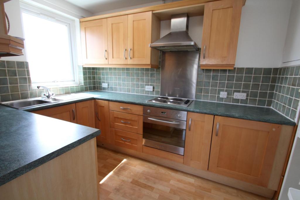
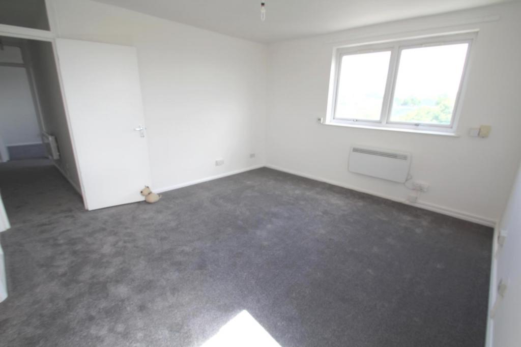
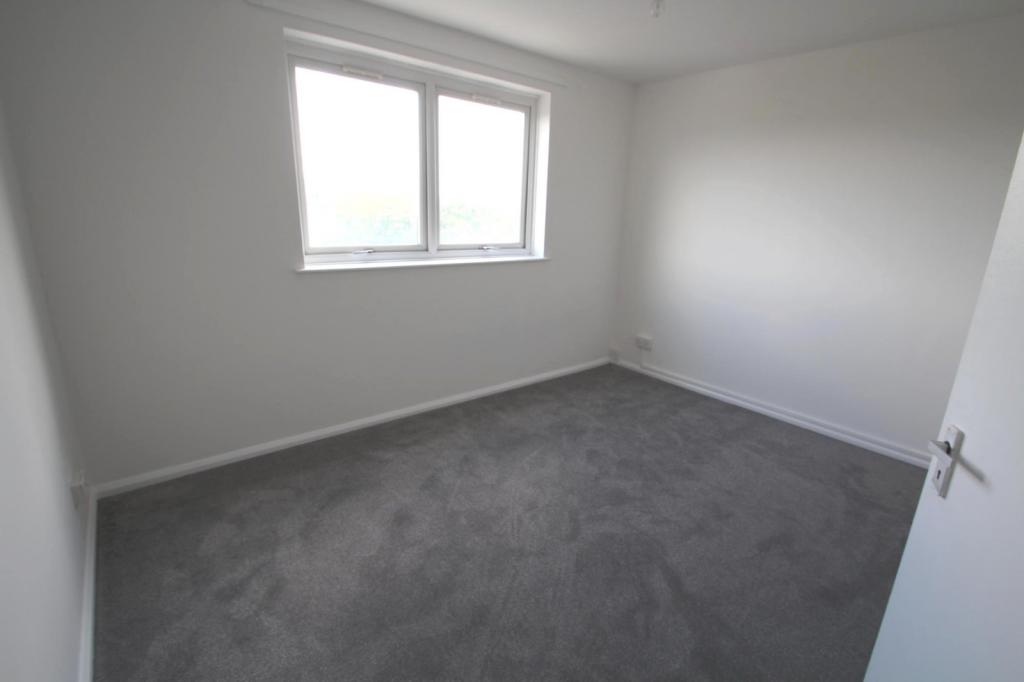
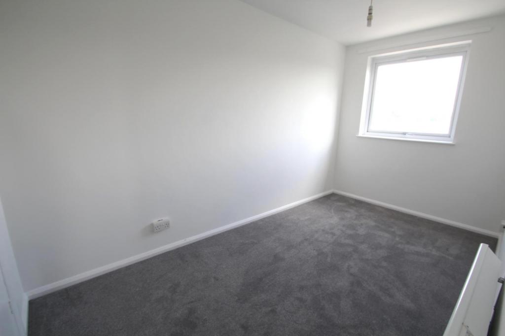
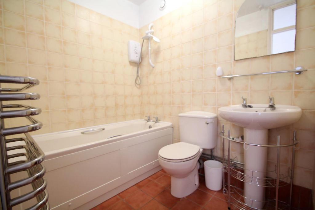
Key features
- Two Double Bedrooms
- EPC Rating; D.
- Close Proximity to Beckenham Junction BR, Tramlink & High Street
- Secure Gated Parking
- Secure Entry Phone System and Lift Access
- Close to Beckenham Hill BR Station
Additional details
- Parking
- Yes
Description
Rent excludes the Tenancy Deposit and any other charges or fees please contact us for further information or visit our website. EPC rating D
Listed by
Beckenham
Leaders and Romans Group
Reference: 60820120
EPC ratings on this postcode
We don't have a matched EPC for this property yet. Below are efficiency scores and details for other addresses on this postcode.
| Address | Current | Potential | Floor area | Age band | Type |
|---|---|---|---|---|---|
| Flat 37, Keats House, Porchester Mead, BECKENHAM | 60 | 81 | 57 m² | England and Wales: 1967-1975 | Flat |
Flood risk
Zone: 1
Risk: Low
Job (default Low)
Rental Range
Estimated market rent for Bromley. Low = conservative, Realistic = average, Optimistic = best case.
Based on Local Authority from postcode lookup → Bromley.
LHA (30th percentile) floor for Outer South East London: £1,296/mo (Apr 2025 – Mar 2026)
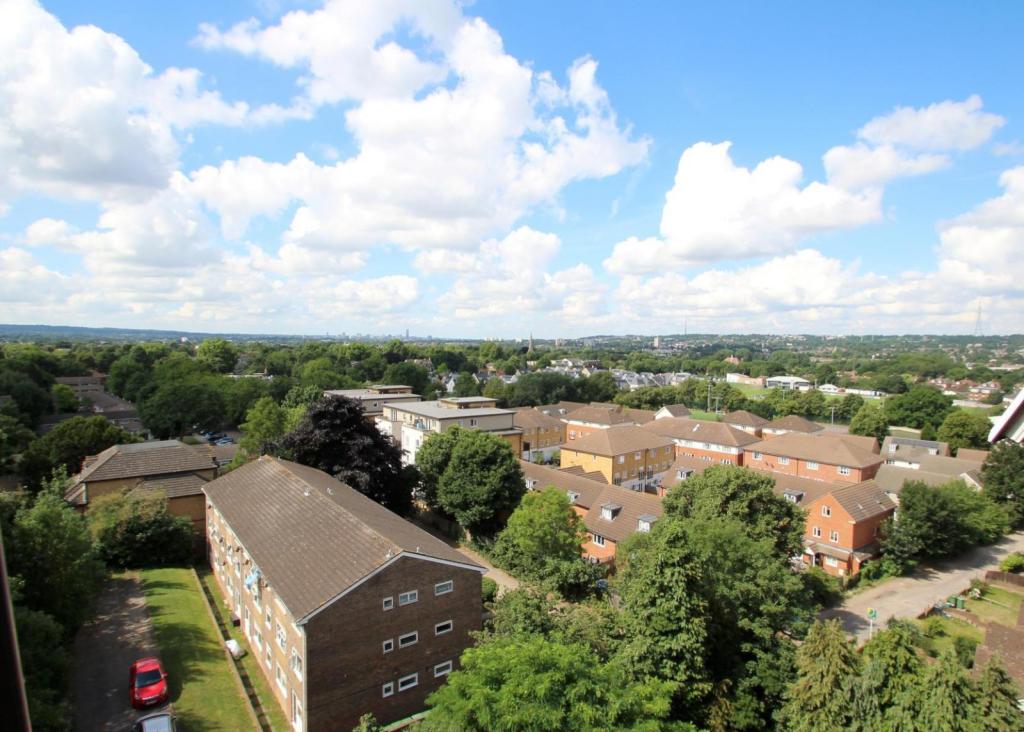
Location
Address
Stumps Hill Lane
Nearby
Nearest stations, universities and amenities (distance from property).
| Type | Name | Distance |
|---|---|---|
| Bus stop | Stumps Hill Lane | 0.1 miles |
| Shop | Cigarette Records | 0.2 miles |
| Shop | Eddie's Dog Shop | 0.3 miles |
| Train station | New Beckenham | 0.5 miles |
| Train station | Beckenham Hill | 0.5 miles |
| Hospital | Sloane Hospital | 1.1 miles |
| Hospital | British Home & Hospital for Incurables | 3.6 miles |
| University | University of Greenwich | 4.5 miles |
| University | University of Wales Trinity Saint David London Campus | 5.6 miles |
Street-level crime
| Category | Count |
|---|---|
| Shoplifting | 105 |
| Violence and sexual offences | 102 |
| Anti-social behaviour | 83 |
| Vehicle crime | 55 |
| Public order | 47 |
| Burglary | 22 |
| Criminal damage and arson | 22 |
| Other theft | 20 |
| Robbery | 19 |
| Drugs | 15 |
| Theft from the person | 12 |
| Other crime | 8 |
| Possession of weapons | 6 |
| Bicycle theft | 1 |
| Total incidents | 517 |
Within 1 mile during Apr 2026. Source: data.police.uk (England & Wales).
Schools nearby
Nearest open schools with Ofsted ratings (England). Closed schools are not shown. Data from Get Information about Schools and Ofsted.
| Name | Type | Distance | Ofsted |
|---|---|---|---|
| Worsley Bridge Primary School | Primary | 0.2 miles | Good — 9 Oct 2018 |
| Sedgehill Academy | Secondary | 0.3 miles | Good — 7 Dec 2022 |
| Watergate School | Other | 0.5 miles | Outstanding — 13 Jul 2012 |
| St Augustine's Catholic Primary School and Nursery | Primary | 0.5 miles | Good — 4 Sep 2018 |
| St Mary's Catholic Primary School | Primary | 0.5 miles | Outstanding — 18 Jul 2024 |
Rental Comparables
Loading rental comparables for this postcode. Refresh in a few minutes.
Enter House Number
Enter the house number to help us retrieve more accurate pricing history and property data.
Please log in to submit or correct the house number for this listing.
Log in to continue