12 QUANTOCK ROAD
BRISTOL, CITY OF BRISTOL BS3 4PF
£800 pcm
Property details
Deprivation
Decile 8 (24,556 of 33,755)
Street crime
693 incidents within 1 mile (Apr 2026)
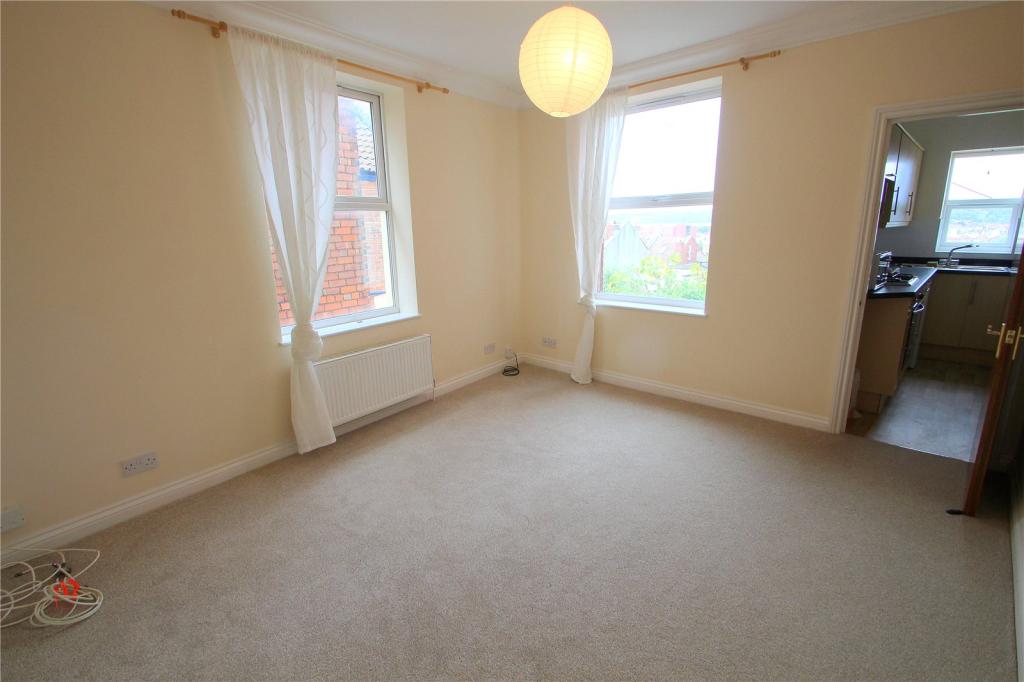
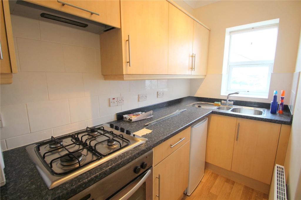
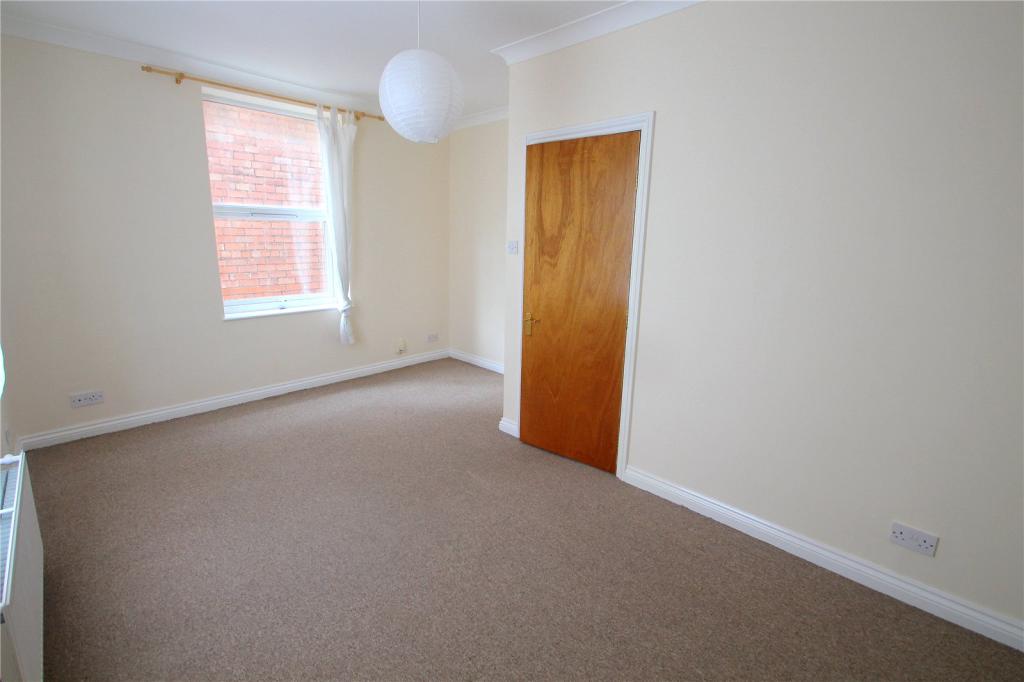
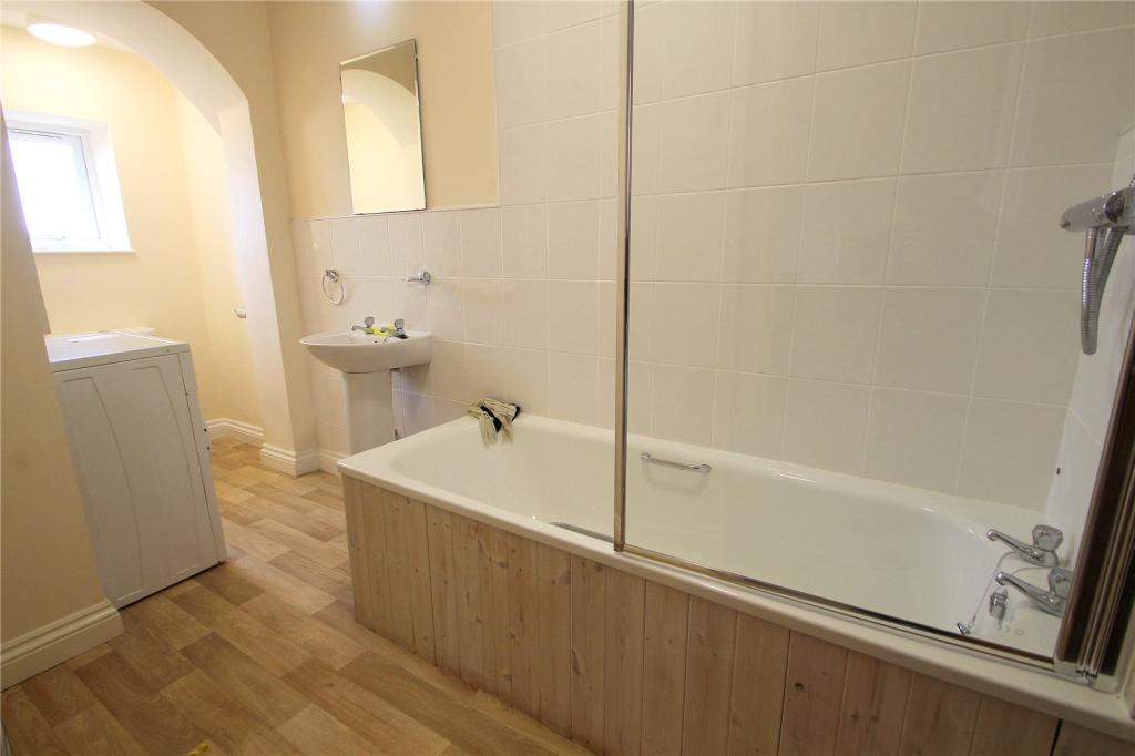
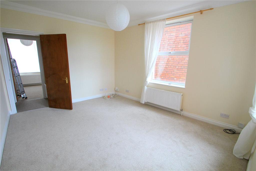
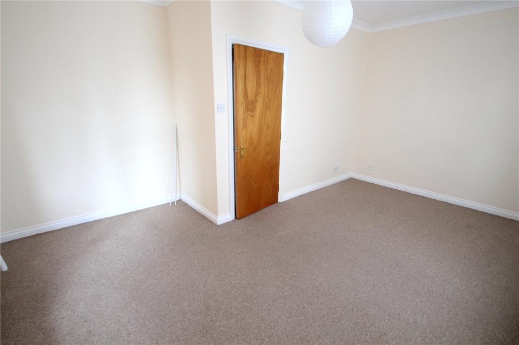
Description
+£299 per person admin charge. £149 check in/deposit fee.
Listed by
Southville
The Property Franchise Group
Reference: 62132401
EPC Rating & Upgrade Cost
Fetching EPC data… Refresh this page in a moment.
Flood risk
Zone: 1
Risk: Low
Job (default Low)
FENSA Certificates
This property has 1 FENSA certificate(s) on record, indicating window/door installations by FENSA-approved installers.
FENSA Certificate #14972374 Recent
Property Details
Street: 12 Quantock Road
Town: BRISTOL
Postcode: BS3 4PF
Installation Details
Items: 1 door
Certificate Issued: 09/01/2022
Work Completed: 21/12/2021
This certificate data was retrieved from FENSA's database
What is FENSA? FENSA (Fenestration Self-Assessment Scheme) is a government-authorised scheme that monitors building regulation compliance for replacement windows and doors. Certificates indicate that work was completed by FENSA-approved installers.
Company ownership
Registered legal owner is a company.
Company: 12 QUANTOCK ROAD MANAGEMENT (BRISTOL) LIMITED (10270356)
Rental Range
Estimated market rent for Bristol, City of. Low = conservative, Realistic = average, Optimistic = best case.
Based on Local Authority from postcode lookup → Bristol, City of.
LHA (30th percentile) floor for Gloucester: £549/mo (Apr 2025 – Mar 2026)
Location
Nearby
Nearest stations, universities and amenities (distance from property).
| Type | Name | Distance |
|---|---|---|
| Bus stop | Littleton Road | 0.1 miles |
| Train station | Bedminster | 0.2 miles |
| Shop | Whitehouse Tyre Sales | 0.2 miles |
| Shop | M J Auto Engineers | 0.2 miles |
| Train station | Princes Wharf | 0.7 miles |
| University | dBs Institute Bristol Campus | 1.0 miles |
| University | Bristol Digital Futures Institute | 1.2 miles |
| Hospital | The Chesterfield | 1.4 miles |
| Hospital | South West Regional Laboratories | 1.5 miles |
Street-level crime
| Category | Count |
|---|---|
| Violence and sexual offences | 241 |
| Anti-social behaviour | 132 |
| Criminal damage and arson | 56 |
| Other theft | 54 |
| Public order | 45 |
| Burglary | 37 |
| Vehicle crime | 35 |
| Shoplifting | 28 |
| Robbery | 17 |
| Bicycle theft | 16 |
| Drugs | 15 |
| Other crime | 7 |
| Theft from the person | 6 |
| Possession of weapons | 4 |
| Total incidents | 693 |
Within 1 mile during Apr 2026. Source: data.police.uk (England & Wales).
Schools nearby
Nearest open schools with Ofsted ratings (England). Closed schools are not shown. Data from Get Information about Schools and Ofsted.
| Name | Type | Distance | Ofsted |
|---|---|---|---|
| Victoria Park Primary School | Primary | 0.3 miles | Good — 3 Apr 2013 |
| Oasis Academy Marksbury Road | Primary | 0.3 miles | Outstanding — 13 Sep 2018 |
| St Mary Redcliffe Church of England Primary School | Primary | 0.4 miles | Good — 13 Jan 2022 |
| Holy Cross RC Primary School | Primary | 0.4 miles | Good — 10 Jul 2023 |
| LPW Independent School | Other | 0.5 miles | Good — 26 Sep 2022 |
Rental Comparables
Loading rental comparables for this postcode. Refresh in a few minutes.