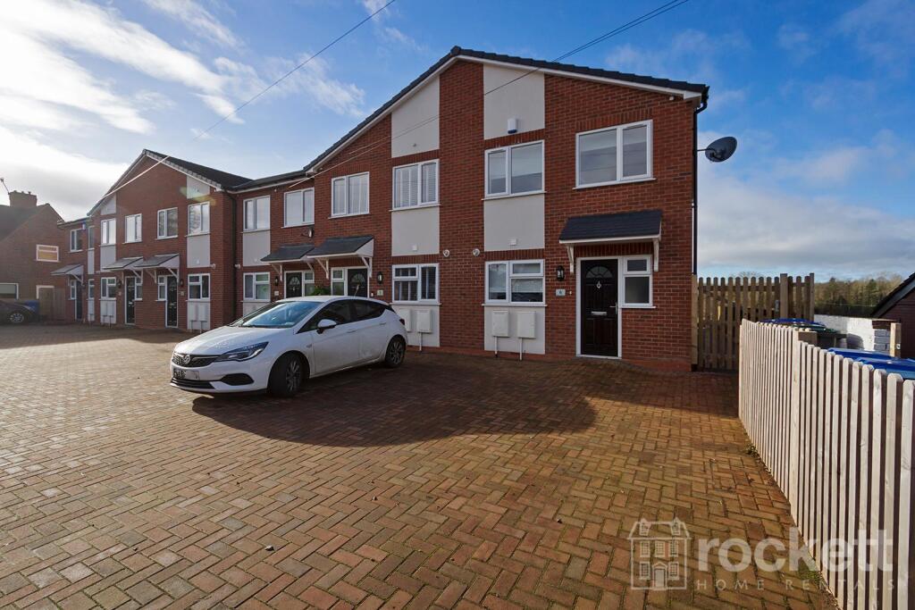
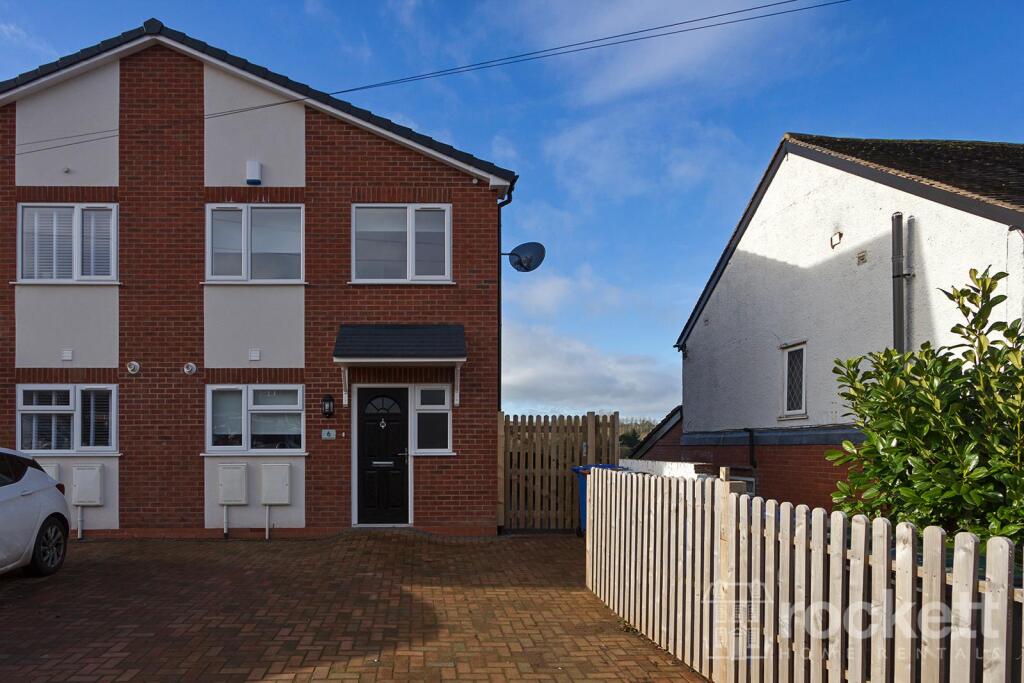
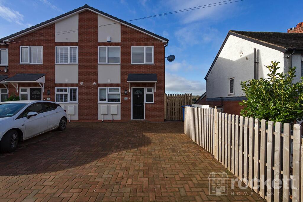
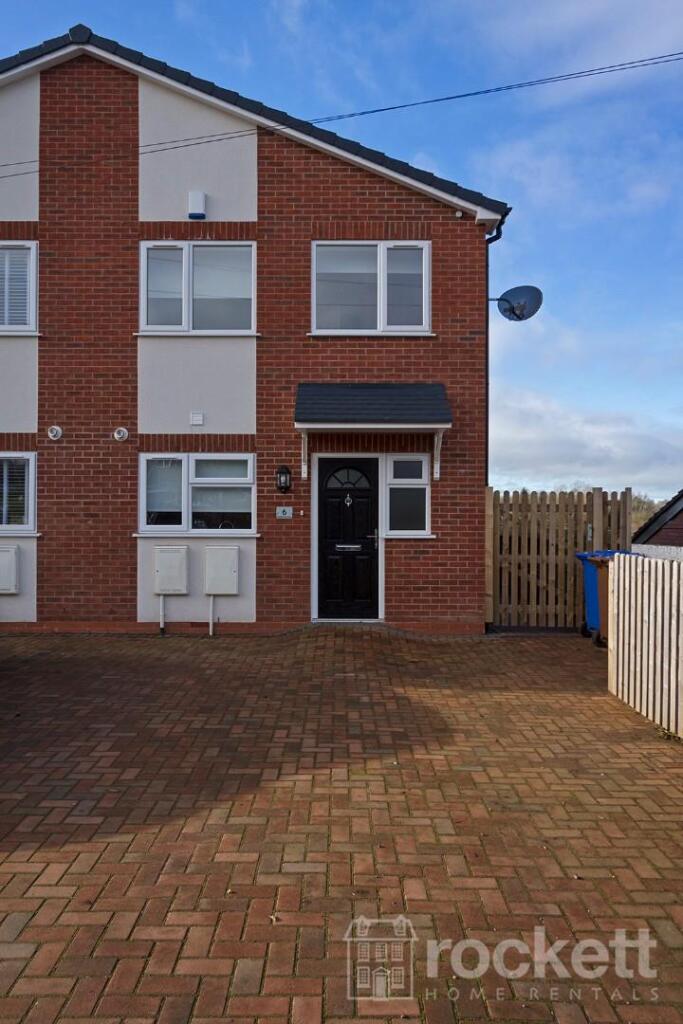
6 HANFORD TERRACE
STOKE-ON-TRENT, STOKE-ON-TRENT ST4 8NU
£1,495 pcm

6_Hanford_gwi_7245ec 6_Hanford_gwi_7263eW 6_Hanford_gwi_7110eW 6_Hanford_gwi_7109ec 6_Hanford_gwi_7109eW 6_Hanford_gwi_7107eW 6_Hanford_gwi_7240eW 6_Hanford_gwi_7253ec 6_Hanford_gwi_7256eW 6_Hanford_gwi_7260eW 6_Hanford_gwi_7261eW 6_Hanford_gwi_7267eW 6_Hanford_gwi_7266eW 6_Hanford_gwi_7269eW 6_Hanford_gwi_7273eW 6_Hanford_gwi_7301eW 6_Hanford_gwi_7305eW 6_Hanford_gwi_7307eW 6_Hanford_gwi_7308eW 6_Hanford_gwi_7311eW 6_Hanford_gwi_7314eW 6_Hanford_gwi_7315eW 6_Hanford_gwi_7296eW 6_Hanford_gwi_7297eW 6_Hanford_gwi_7285eW 6_Hanford_gwi_7277eW 6_Hanford_gwi_7291eW 6_Hanford_gwi_7293eW 6_Hanford_gwi_7234ec 6_Hanford_gwi_7227eW 6_Hanford_gwi_7131eW 6_Hanford_gwi_7130eW 6_Hanford_gwi_7141eW 6_Hanford_gwi_7148eW 6_Hanford_gwi_7150eW
/ 35
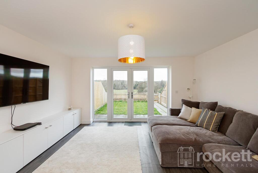
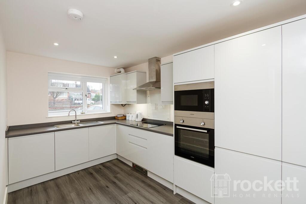
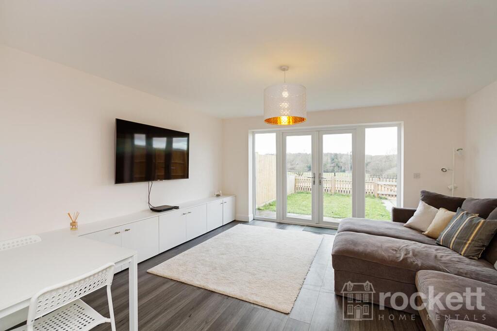
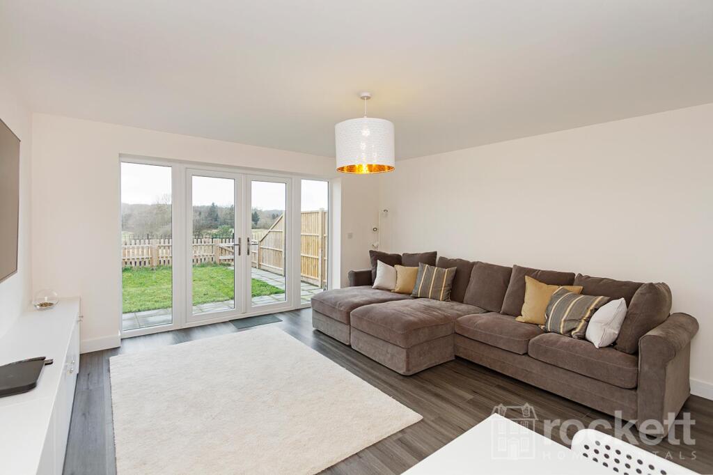
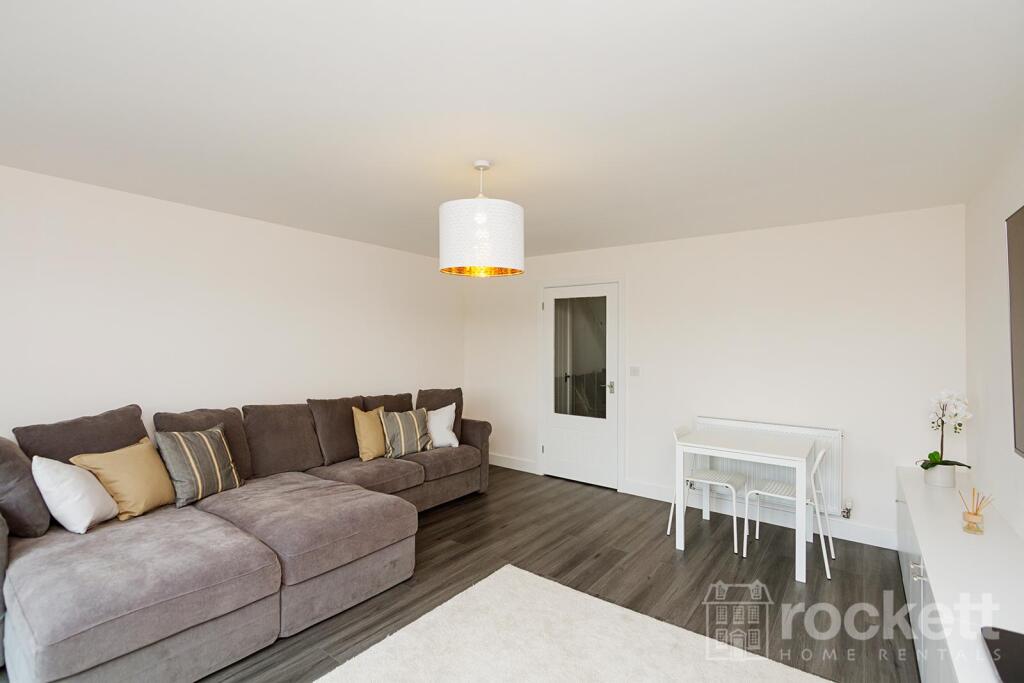
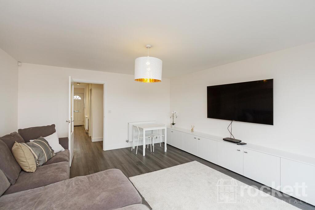
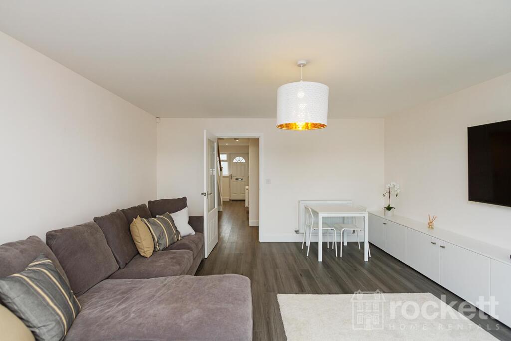
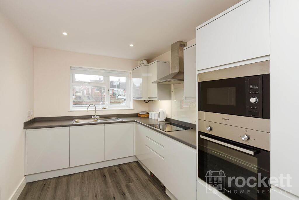
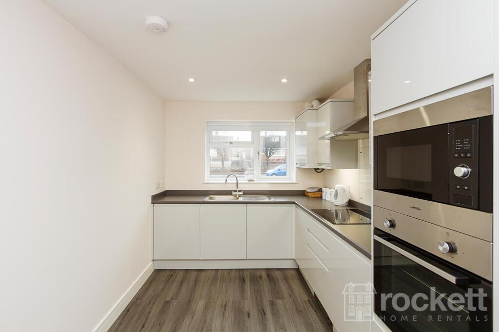
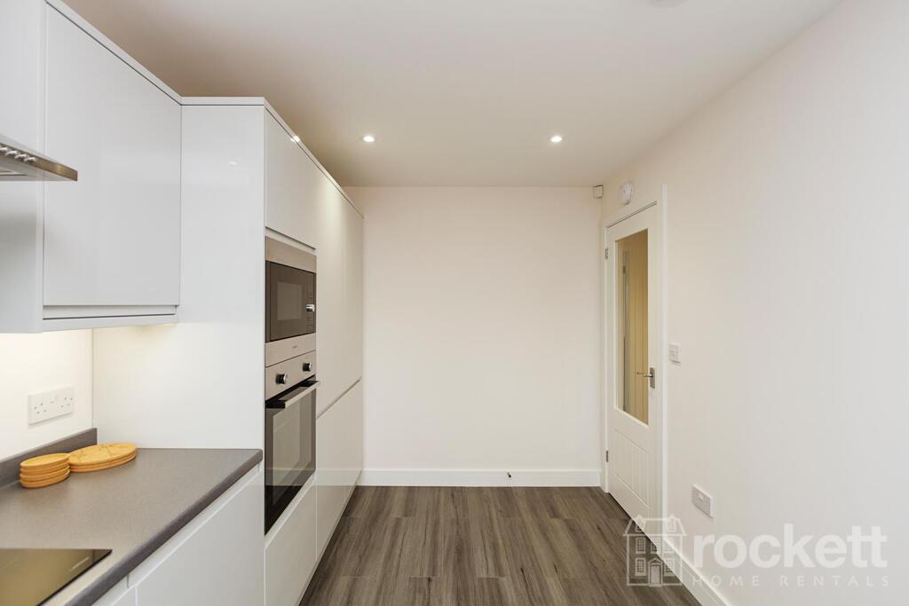
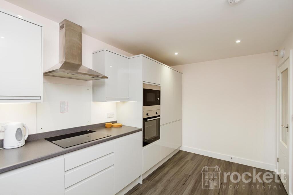
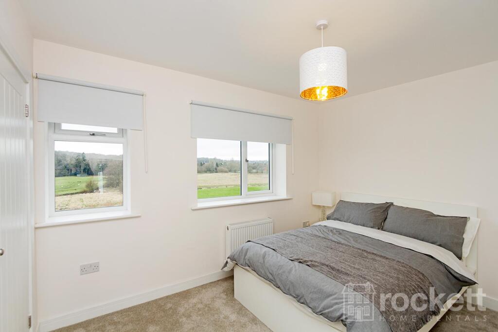
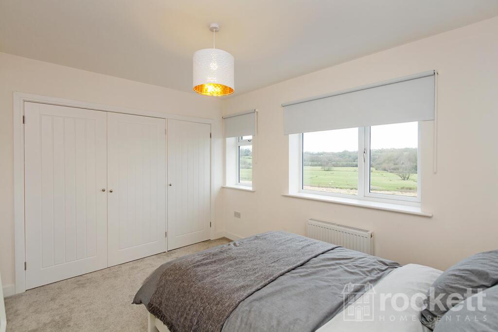
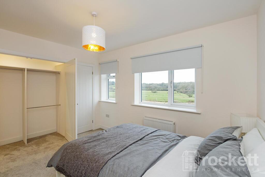
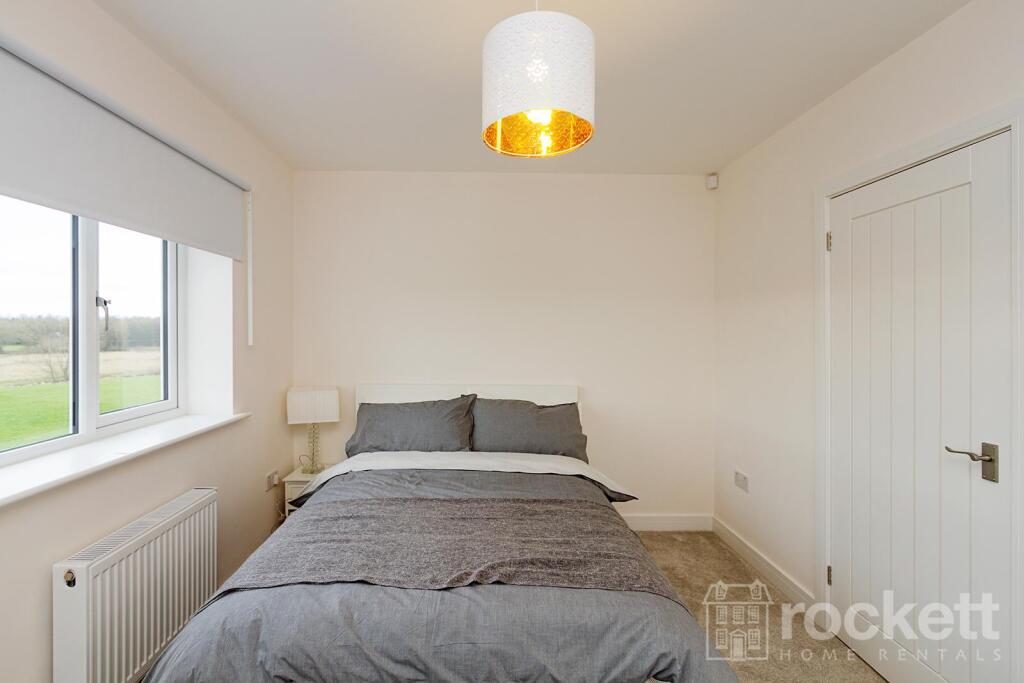
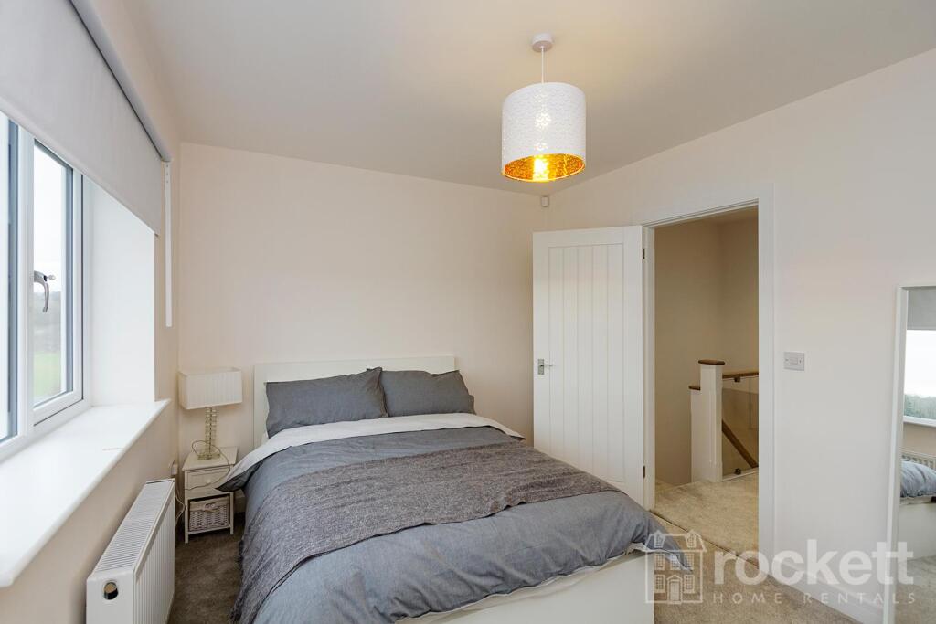
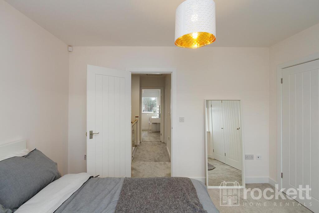
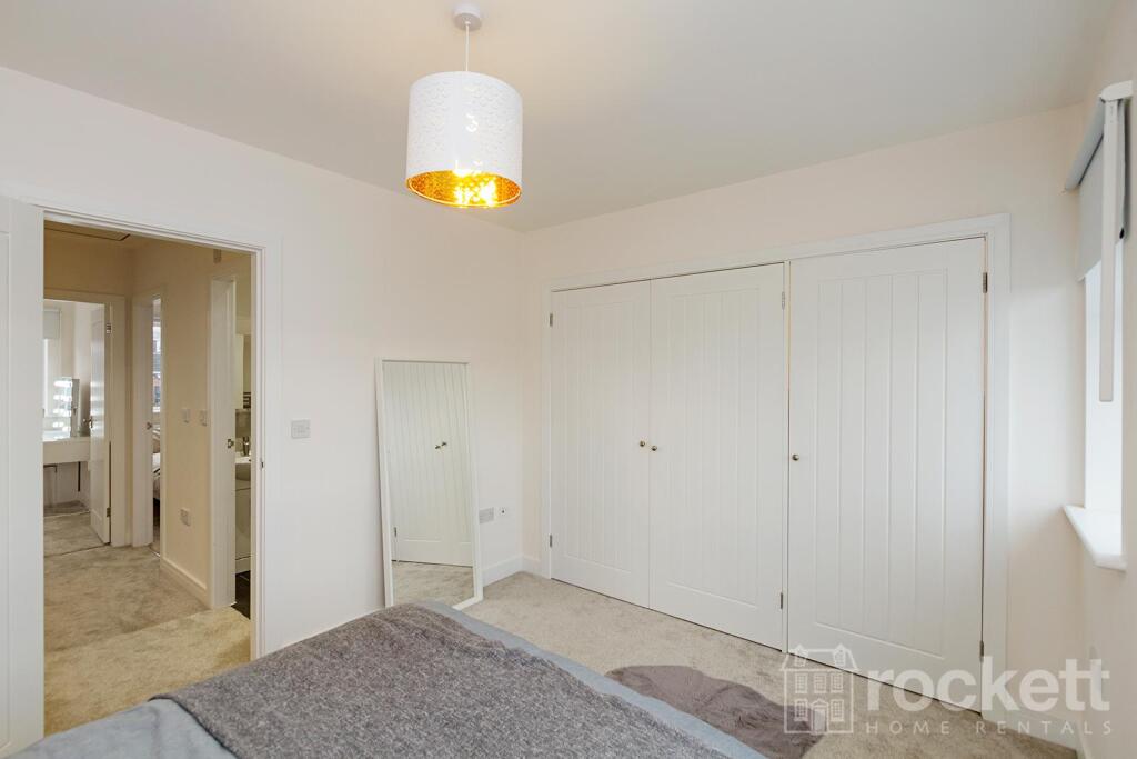
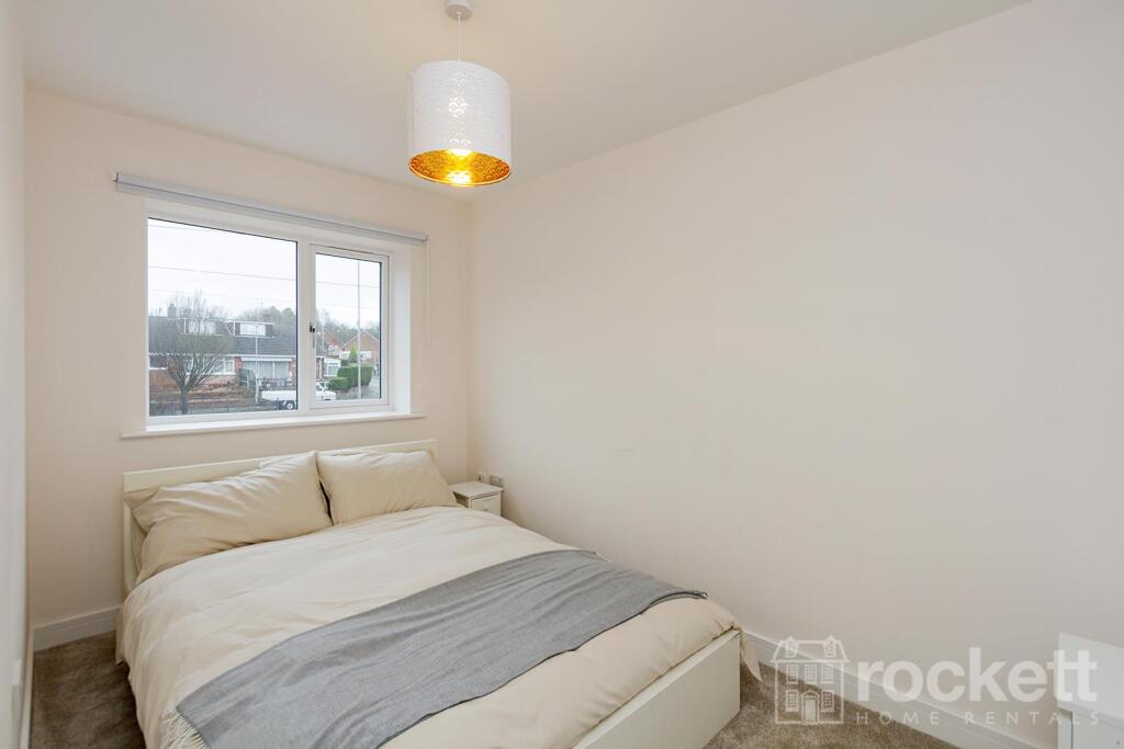
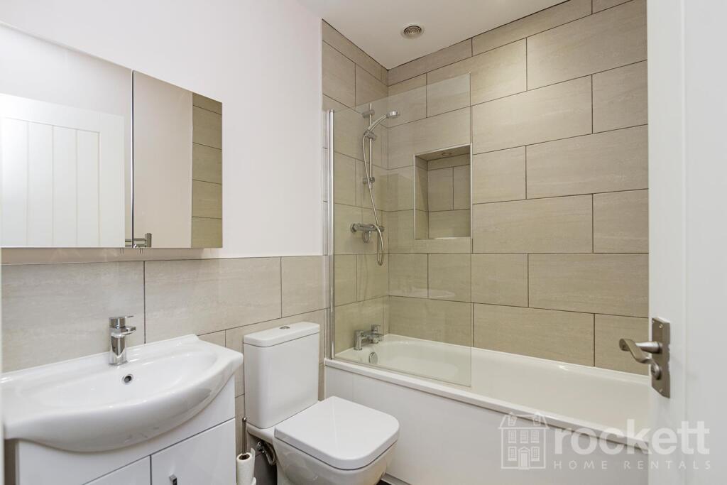
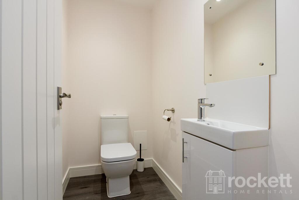
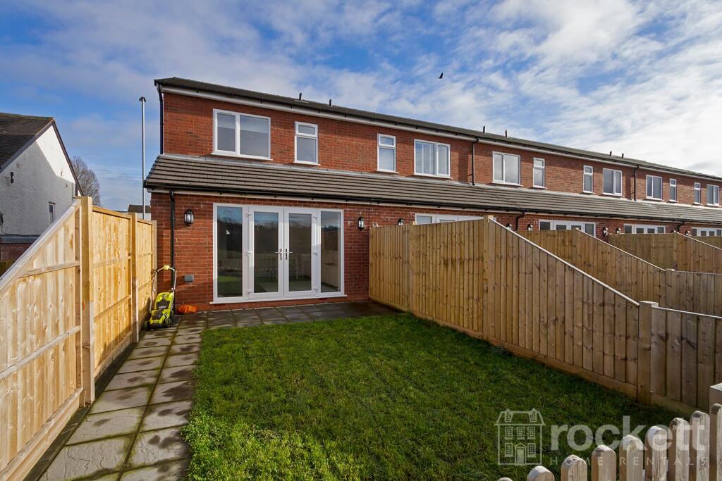
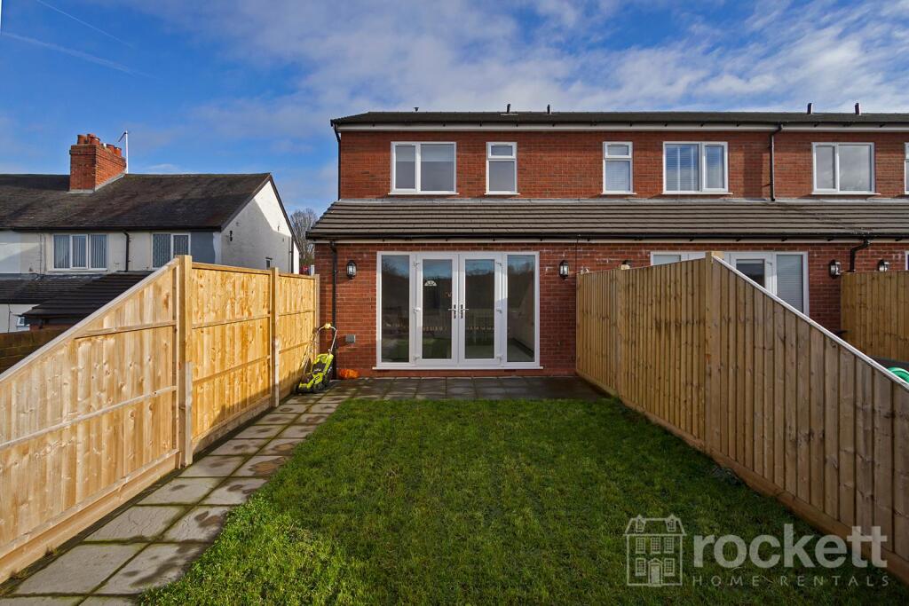
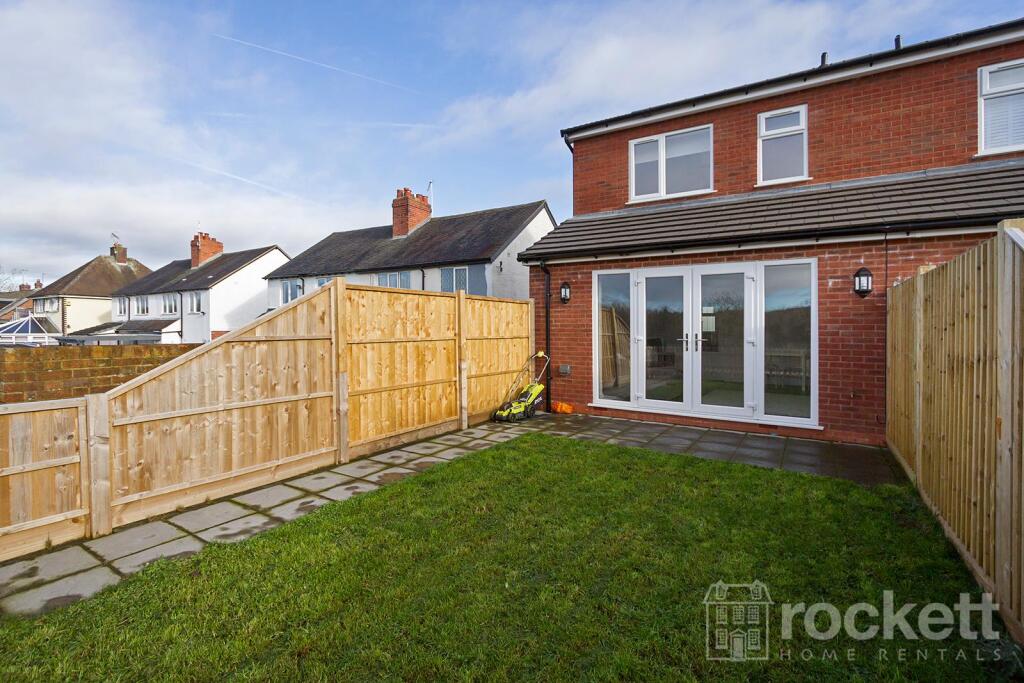
Property details
Floor area
79 m²
Council tax band
B
Deprivation
Decile 8 (26,886 of 33,755)
Street crime
98 incidents within 1 mile (Apr 2026)
Additional details
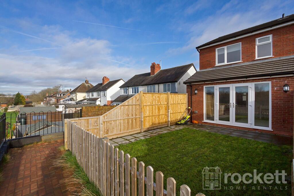
- Parking
- Driveway, Allocated
- Garden
- Yes
Description
Ref: ROC220004
Listed by
Wolstanton
Rockett Home Rentals Ltd
Reference: 174067424
EPC Rating & Upgrade Cost
Fetching EPC data… Refresh this page in a moment.
Flood risk
Zone: 1
Risk: Low
Job (default Low)
EPC Graphs
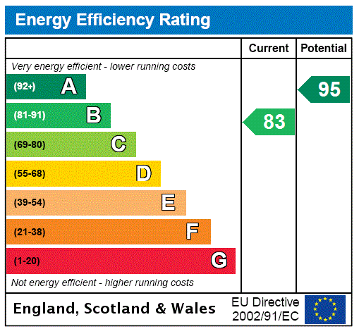
EPC Rating Graph
Company ownership
Registered legal owner is a company.
Company: RED ROSE PARTNERSHIP LTD (11566227)
Rental Range
Estimated market rent for Stoke-on-Trent. Low = conservative, Realistic = average, Optimistic = best case.
Based on Local Authority from postcode lookup → Stoke-on-Trent.
LHA (30th percentile) floor for Staffordshire North: £593/mo (Apr 2025 – Mar 2026)
Location
Nearby
Nearest stations, universities and amenities (distance from property).
| Type | Name | Distance |
|---|---|---|
| Shop | Douglas Macmillan Hospice Shop | 0.1 miles |
| Shop | Unknown | 0.1 miles |
| Bus stop | Unknown | 0.2 miles |
| Hospital | North Staffordshire Nuffield Hospital | 1.1 miles |
| Train station | Trentham Leisure | 1.2 miles |
| Train station | Unknown | 1.5 miles |
| Hospital | Harplands Hospital | 1.6 miles |
| University | University of Staffordshire Stoke Campus | 2.3 miles |
Street-level crime
| Category | Count |
|---|---|
| Violence and sexual offences | 44 |
| Anti-social behaviour | 20 |
| Public order | 7 |
| Burglary | 6 |
| Criminal damage and arson | 6 |
| Other theft | 5 |
| Shoplifting | 3 |
| Drugs | 2 |
| Other crime | 2 |
| Possession of weapons | 2 |
| Robbery | 1 |
| Total incidents | 98 |
Within 1 mile during Apr 2026. Source: data.police.uk (England & Wales).
Schools nearby
Nearest open schools with Ofsted ratings (England). Closed schools are not shown. Data from Get Information about Schools and Ofsted.
| Name | Type | Distance | Ofsted |
|---|---|---|---|
| Priory CofE Academy | Primary | 0.3 miles | Good — 4 Jun 2015 |
| St Teresa's Catholic (A) Primary School | Primary | 0.3 miles | Good — 5 May 2017 |
| Trentham Academy | Secondary | 0.5 miles | Good — 30 Nov 2021 |
| St Joseph's Preparatory School | Other | 0.7 miles | — (No rating) |
| St Joseph's College | Secondary | 0.7 miles | Outstanding — 6 Mar 2014 |
Rental Comparables
Residential lets from OpenRent and Rightmove for the area (same bedroom count). Use to validate rent estimates. Student lets are excluded.
Average rent: £1,048/mo (15 listings)