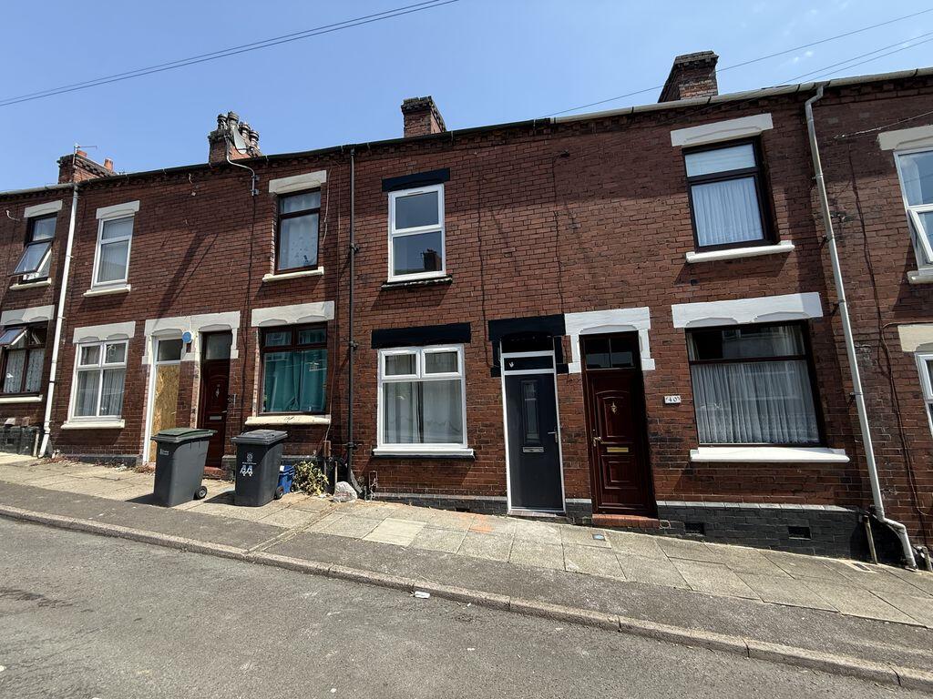
42 MYNORS STREET
STOKE-ON-TRENT, STOKE-ON-TRENT, STOKE-ON-TRENT ST1 2DJ
£700 pcm
Property details
Floor area
65 m²
Council tax band
A
Deprivation
Decile 1 (2,272 of 33,755)
Street crime
621 incidents within 1 mile (May 2026)
Key features
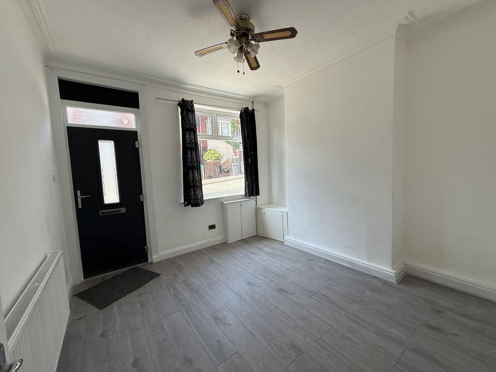
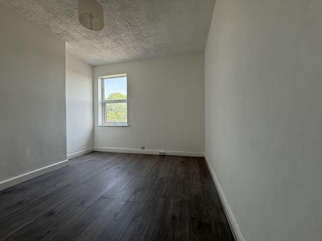
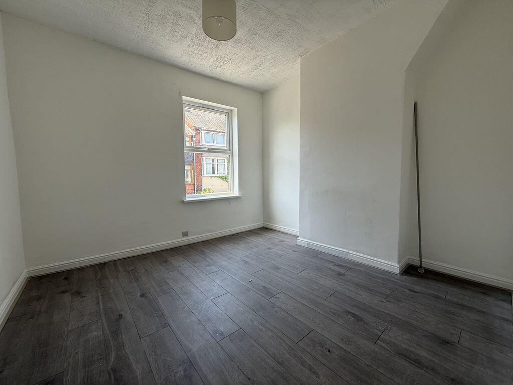
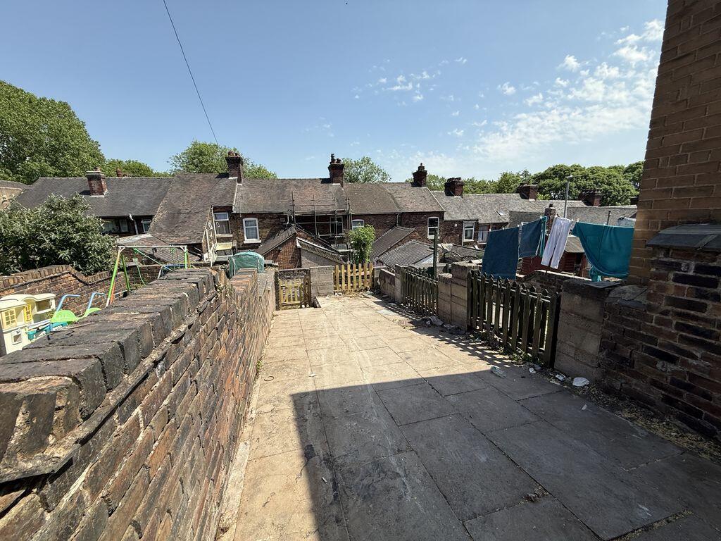
- Modernised two bedroom terrace
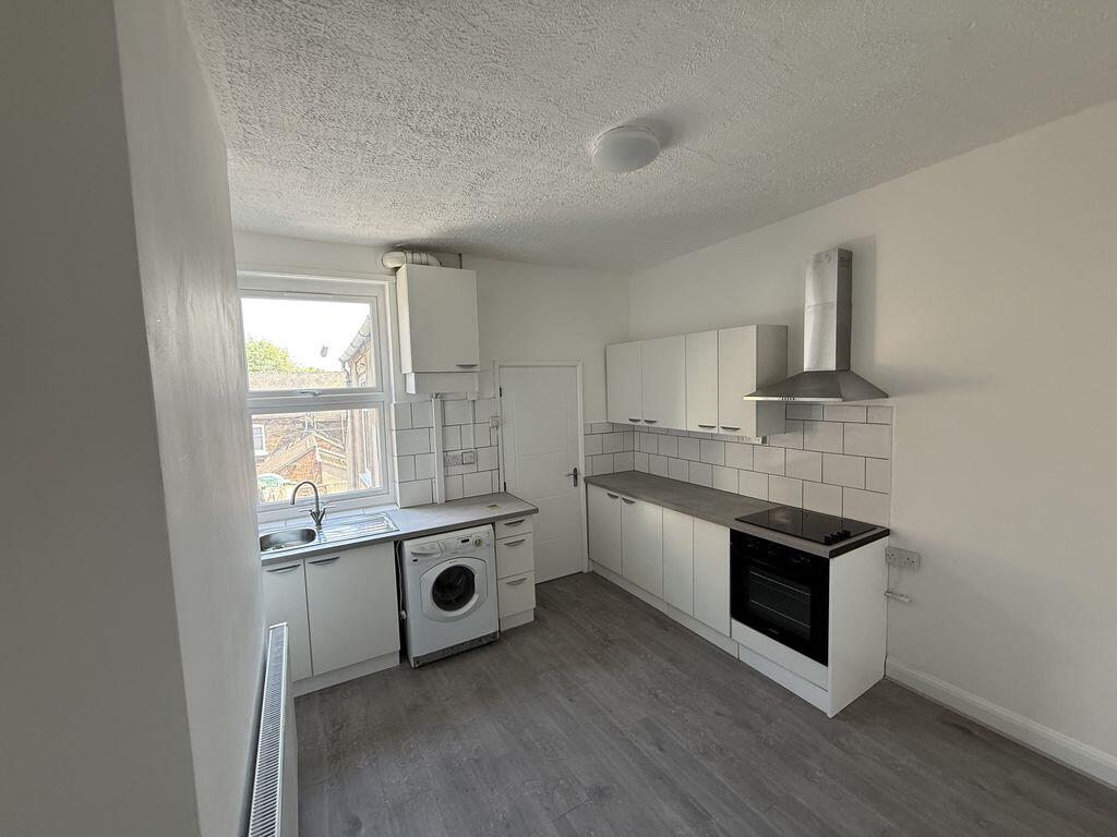
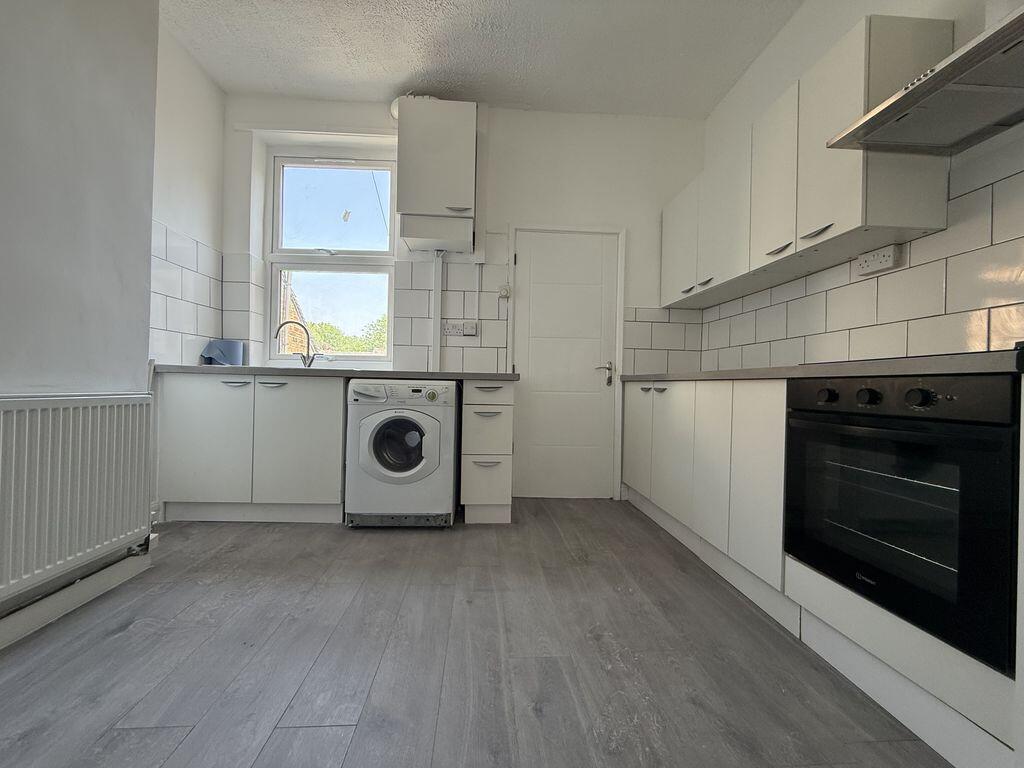
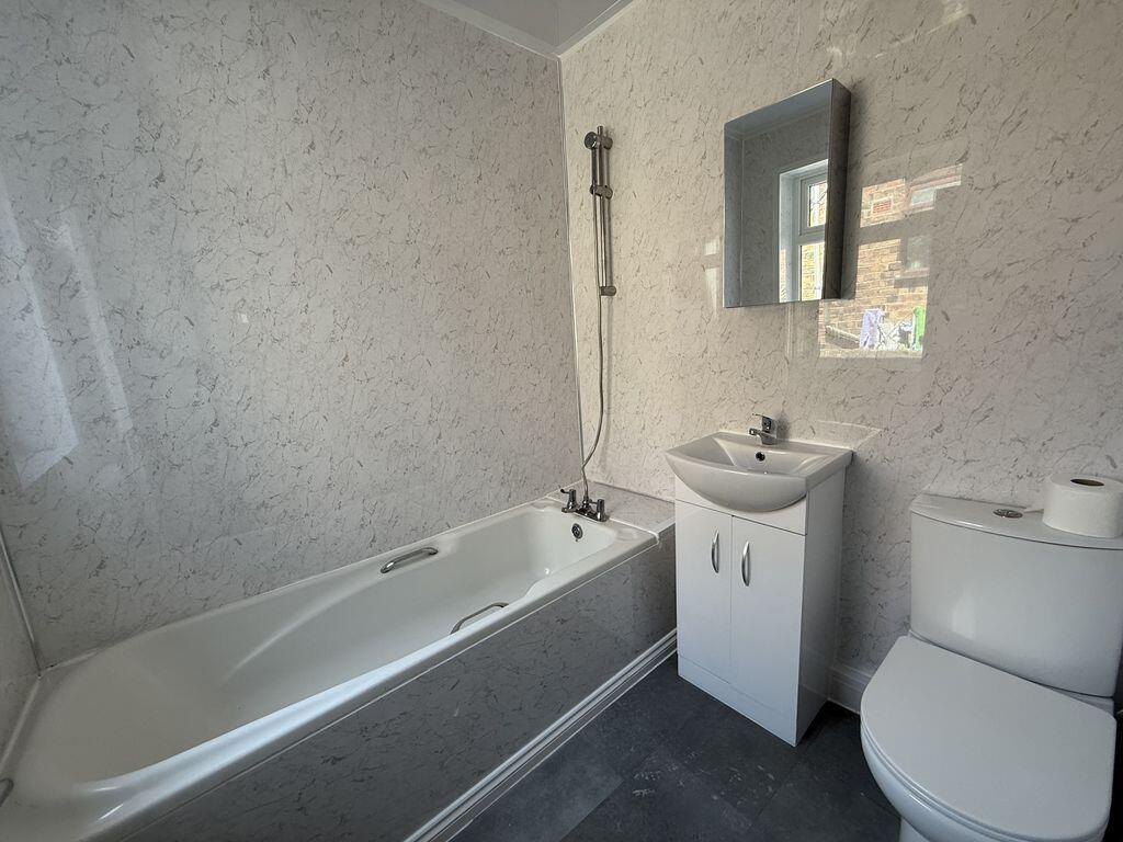
- Modern kitchen and bathroom
- Gass central heating
- Double glazing
- Epc band D Rating 58 Council Tax A
- Asking advisor to book your Viewing
Additional details
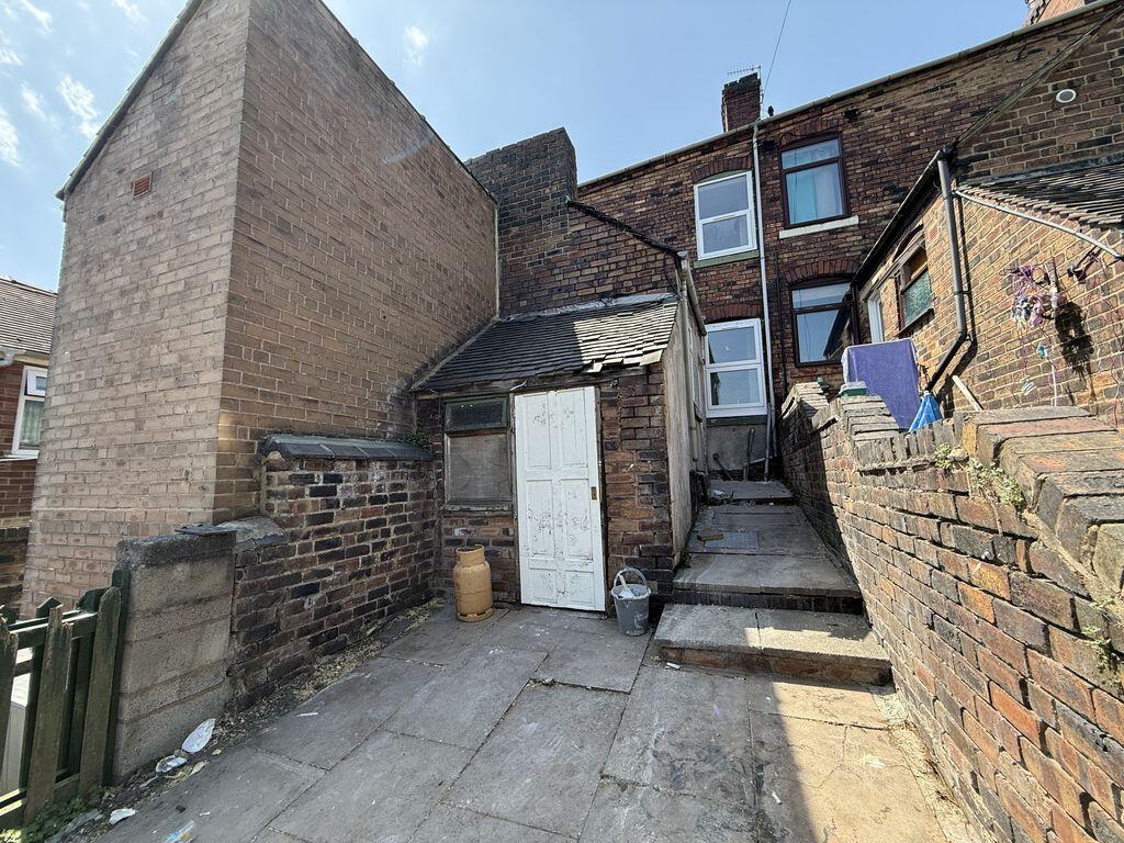
- Garden
- Yes
Description
Listed by
Stoke On Trent
Keates Hulme
Reference: 88937142
EPC Rating & Upgrade Cost
Fetching EPC data… Refresh this page in a moment.
Flood risk
Zone: 1
Risk: Low
Job (default Low)
EPC Graphs

Energy Performance Certificate
Company ownership
Registered legal owner is a company.
Company: BELES PROPERTIES LIMITED (14404493)
Rental Range
Estimated market rent for Stoke-on-Trent. Low = conservative, Realistic = average, Optimistic = best case.
Based on Local Authority from postcode lookup → Stoke-on-Trent.
LHA (30th percentile) floor for Staffordshire North: £479/mo (Apr 2025 – Mar 2026)
Location
Nearby
Nearest stations, universities and amenities (distance from property).
| Type | Name | Distance |
|---|---|---|
| Bus stop | Old Town Road | 0.2 miles |
| Bus stop | Stop Q2 | 0.2 miles |
| Shop | Project Groove | 0.2 miles |
| Shop | Blinkin-ink! | 0.2 miles |
| Train station | Stoke-on-Trent | 1.5 miles |
| Hospital | Haywood Hospital Walk-in Centre | 2.0 miles |
| Train station | Longport | 2.1 miles |
| Hospital | Royal Stoke University Hospital | 2.5 miles |
| University | Keele University | 4.6 miles |
| University | Buxton & Leek College | 8.2 miles |
Street-level crime
| Category | Count |
|---|---|
| Violence and sexual offences | 183 |
| Anti-social behaviour | 132 |
| Criminal damage and arson | 51 |
| Public order | 50 |
| Shoplifting | 50 |
| Other theft | 43 |
| Drugs | 27 |
| Burglary | 24 |
| Vehicle crime | 15 |
| Other crime | 13 |
| Possession of weapons | 13 |
| Robbery | 12 |
| Bicycle theft | 5 |
| Theft from the person | 3 |
| Total incidents | 621 |
Within 1 mile during May 2026. Source: data.police.uk (England & Wales).
Schools nearby
Nearest open schools with Ofsted ratings (England). Closed schools are not shown. Data from Get Information about Schools and Ofsted.
| Name | Type | Distance | Ofsted |
|---|---|---|---|
| Grove Academy | Primary | 0.3 miles | Good — 15 Jul 2024 |
| Northwood Broom Academy | Primary | 0.3 miles | Good — 4 Mar 2013 |
| St George and St Martin's Catholic Academy | Primary | 0.4 miles | Good — 29 May 2015 |
| Hanley St Luke's Church of England Academy | Primary | 0.4 miles | Good — 23 Nov 2022 |
| Waterside Primary School | Primary | 0.4 miles | Outstanding — 19 Jun 2019 |
Rental Comparables
Residential lets from OpenRent and Rightmove for the area (same bedroom count). Use to validate rent estimates. Student lets are excluded.
Average rent: £782/mo (52 listings)