Turing Way
Cambridge, CB1 1BS
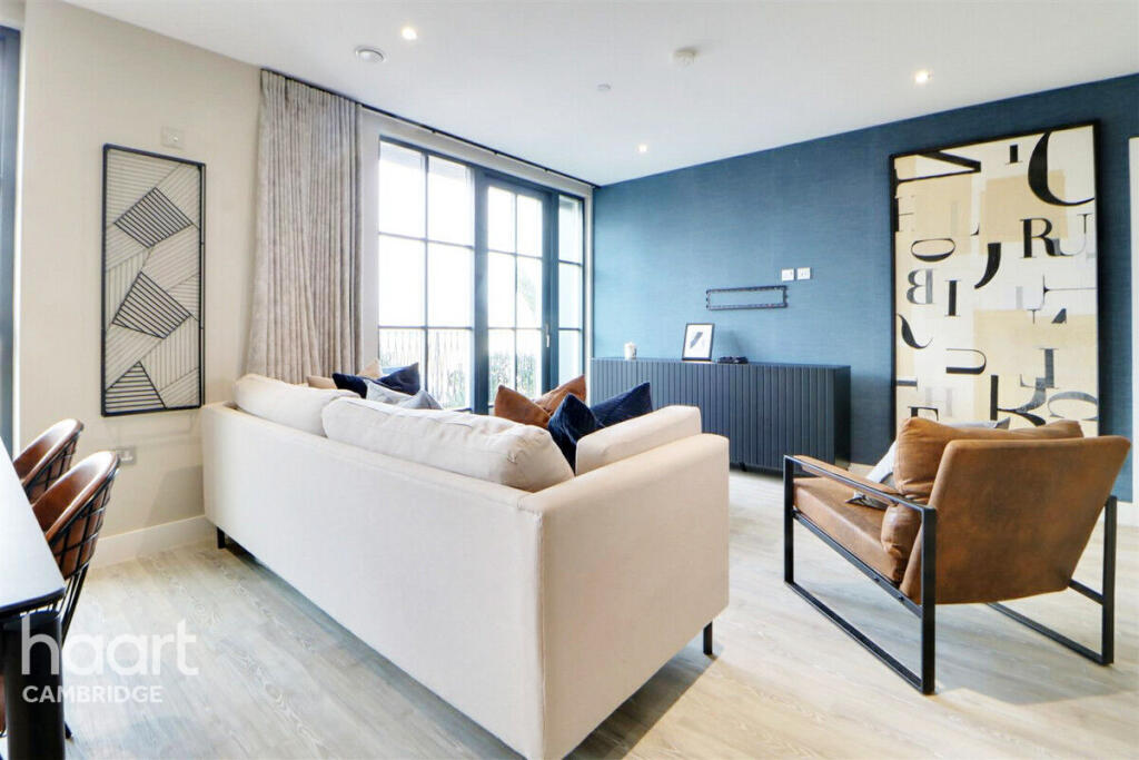
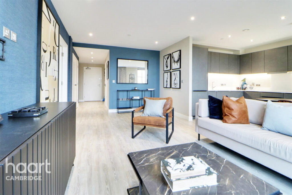
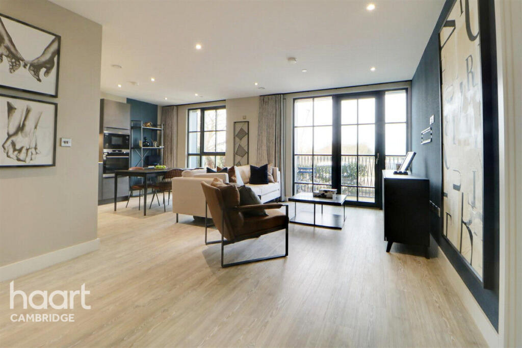
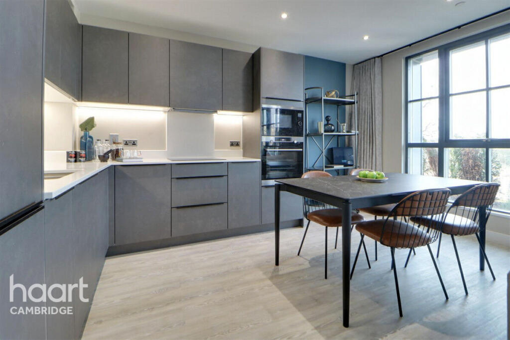
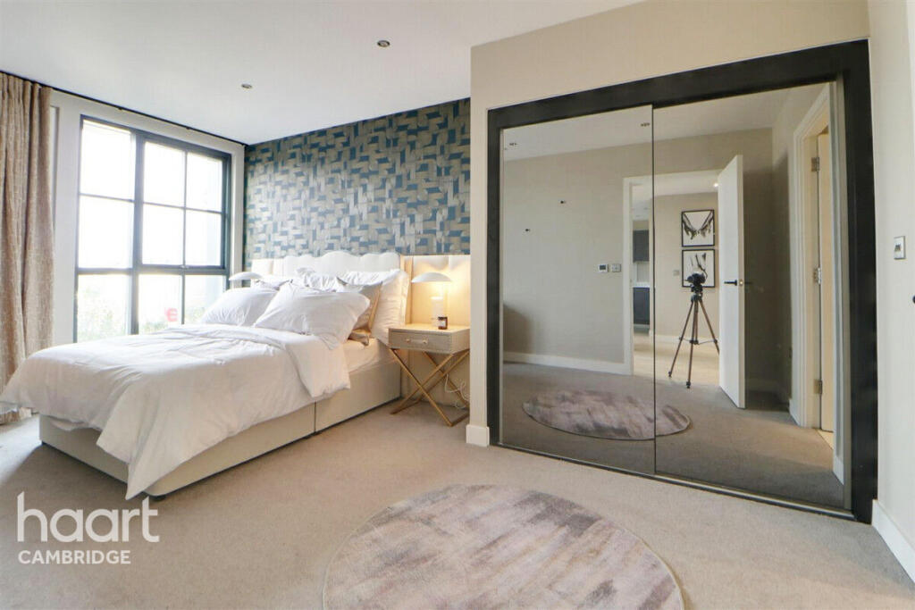
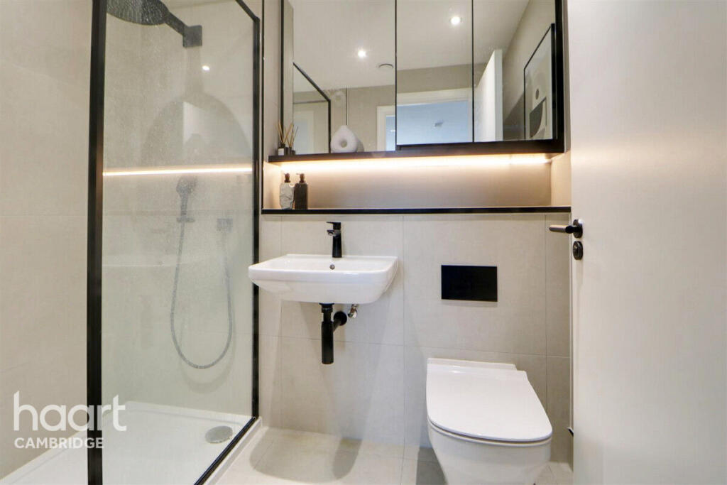
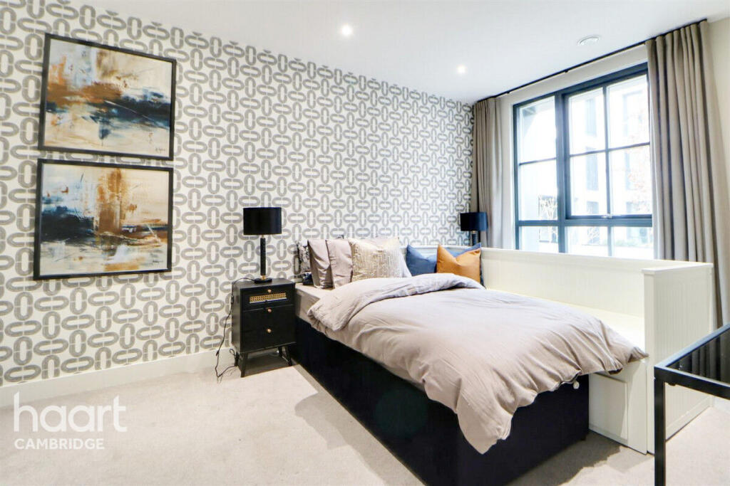
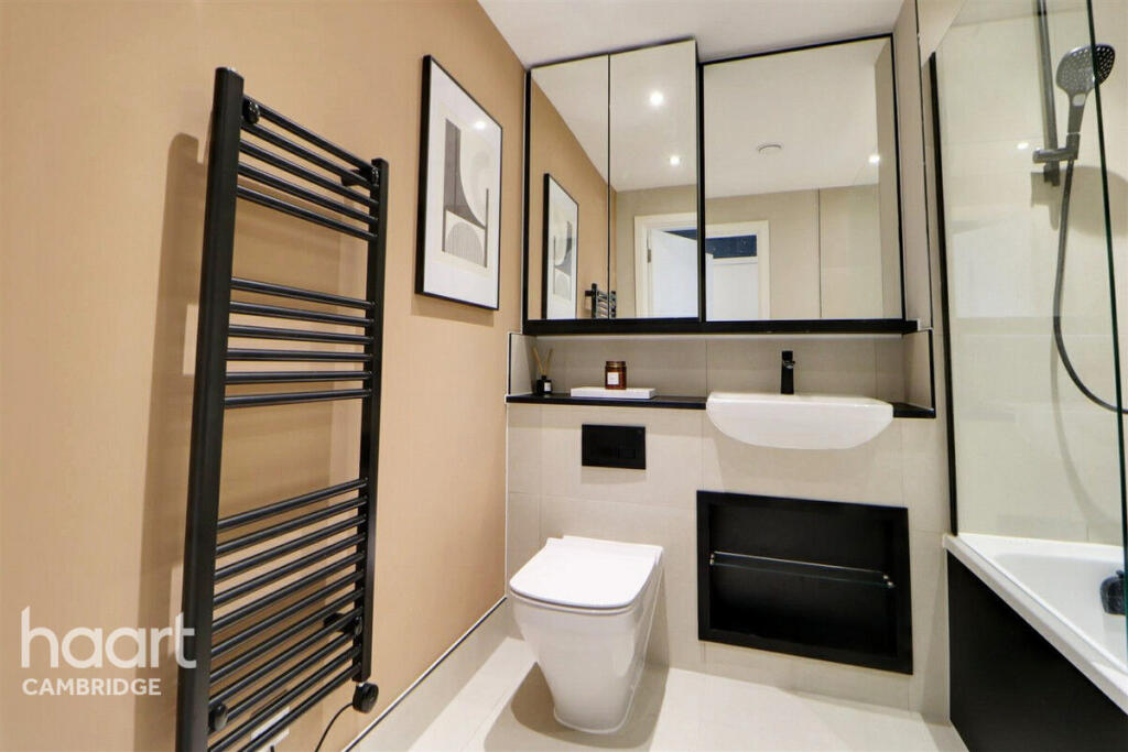
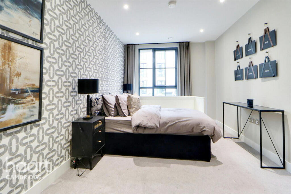
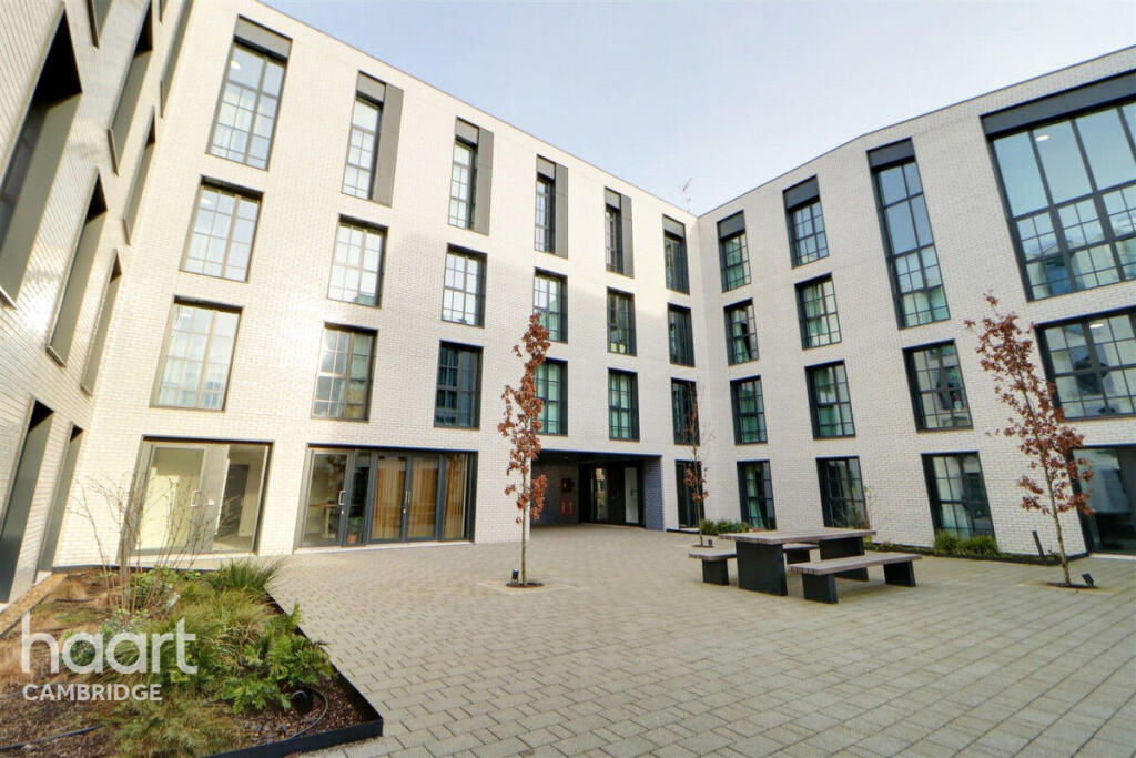
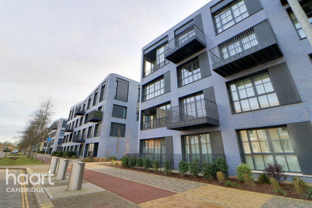
Photo 1 Photo 2 Photo 3 Photo 4 Photo 5 Photo 6 Photo 7 Photo 8 Photo 9 Photo 10 Photo 11
/ 11
Property details
Council tax band
C
Deprivation
Decile 6 (17,880 of 33,755)
Street crime
36 incidents within 1 mile (Apr 2026)
Key features
- ground floor
- two double bedrooms
- allocated parking space
- balcony
- EPC B / COUNCIL TAX BAND C
- Available Now
- Furnished
Additional details
- Parking
- Allocated
Description
Located in the vibrant and growing development of Turing Way, this apartment offers a blend of modern living and excellent connectivity. The area is known for its well-planned infrastructure, green spaces, and proximity to Cambridge city centre. With local amenities, schools, and transport links all within easy reach, this property is ideal for professionals, couples, or small families. Don't miss the opportunity to live in a high-standard apartment in one of Cambridge's most exciting new developments.
Furnished, available NOW.
Listed by
Cambridge
Spicerhaart Lettings
Reference: 156847667
EPC Rating & Upgrade Cost
Fetching EPC data… Refresh this page in a moment.
Flood risk
Zone: 1
Risk: Low
Job (default Low)
Rental Range
Estimated market rent for Cambridge. Low = conservative, Realistic = average, Optimistic = best case.
Based on Local Authority from postcode lookup → Cambridge.
LHA (30th percentile) floor for Cambridge: £947/mo (Apr 2025 – Mar 2026)
Location
Address
110 - 210 Turing Way
Nearby
Nearest stations, universities and amenities (distance from property).
| Type | Name | Distance |
|---|---|---|
| Shop | Argos | 0.1 miles |
| Shop | No.5 The Skin Clinic | 0.1 miles |
| Bus stop | Eddington Avenue, near Park & Ride | 0.1 miles |
| Bus stop | Eddington, Sainsbury's | 0.1 miles |
| University | Swirles Court (Girton College) | 0.2 miles |
| University | Department of Veterinary Medicine (Vet School) | 0.4 miles |
| Hospital | Urgent Care Cambridge | 2.2 miles |
| Hospital | Cambridge Lea Hospital (Spire) | 2.3 miles |
| Train station | Cambridge | 2.7 miles |
| Train station | Cambridge North | 3.2 miles |
Street-level crime
| Category | Count |
|---|---|
| Violence and sexual offences | 8 |
| Anti-social behaviour | 7 |
| Vehicle crime | 6 |
| Drugs | 5 |
| Other theft | 4 |
| Bicycle theft | 2 |
| Burglary | 1 |
| Criminal damage and arson | 1 |
| Possession of weapons | 1 |
| Public order | 1 |
| Total incidents | 36 |
Within 1 mile during Apr 2026. Source: data.police.uk (England & Wales).
Schools nearby
Nearest open schools with Ofsted ratings (England). Closed schools are not shown. Data from Get Information about Schools and Ofsted.
| Name | Type | Distance | Ofsted |
|---|---|---|---|
| University of Cambridge Primary School | Primary | 0.3 miles | Outstanding — 7 Sep 2018 |
| St John's College School | Other | 1.0 miles | — (No rating) |
| Mayfield Primary School | Primary | 1.1 miles | Good — 24 May 2017 |
| Coton Church of England (Voluntary Controlled) Primary School | Primary | 1.2 miles | Requires improvement — 1 Jan 2024 |
| St Luke's CofE Primary School | Primary | 1.2 miles | Requires improvement — 17 Jul 2023 |
Rental Comparables
Loading rental comparables for this postcode. Refresh in a few minutes.