62 GOLDENHILL ROAD
STOKE-ON-TRENT, STOKE-ON-TRENT, STOKE-ON-TRENT ST4 3DW
£850 pcm
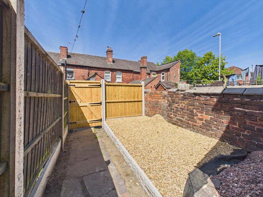
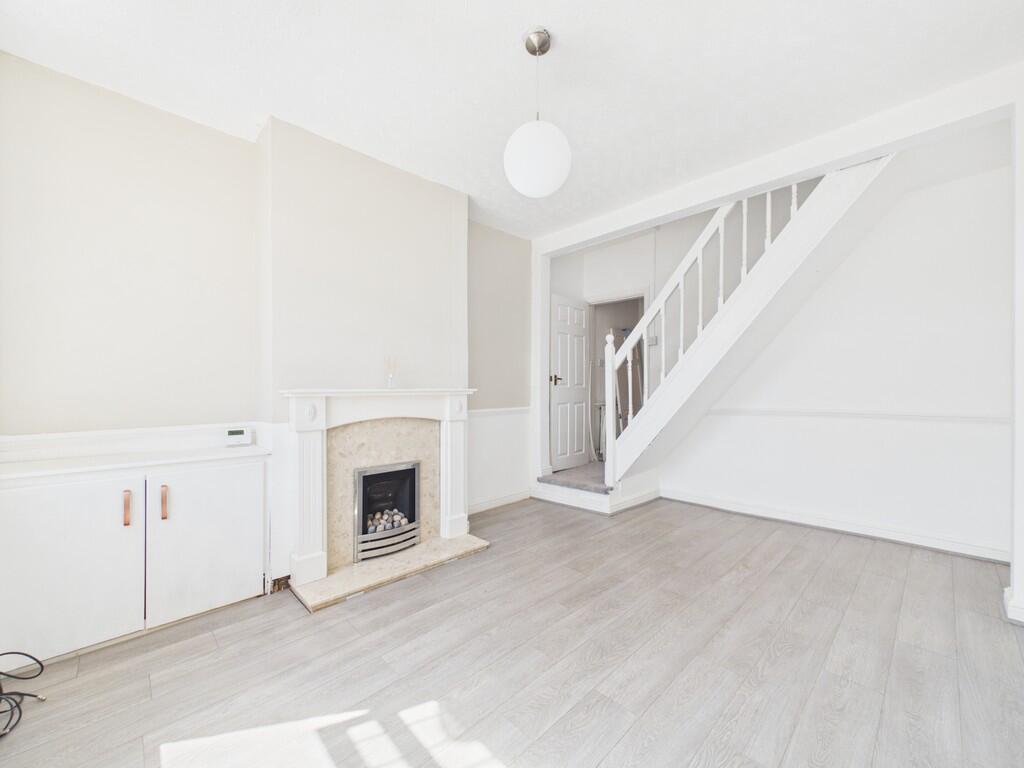
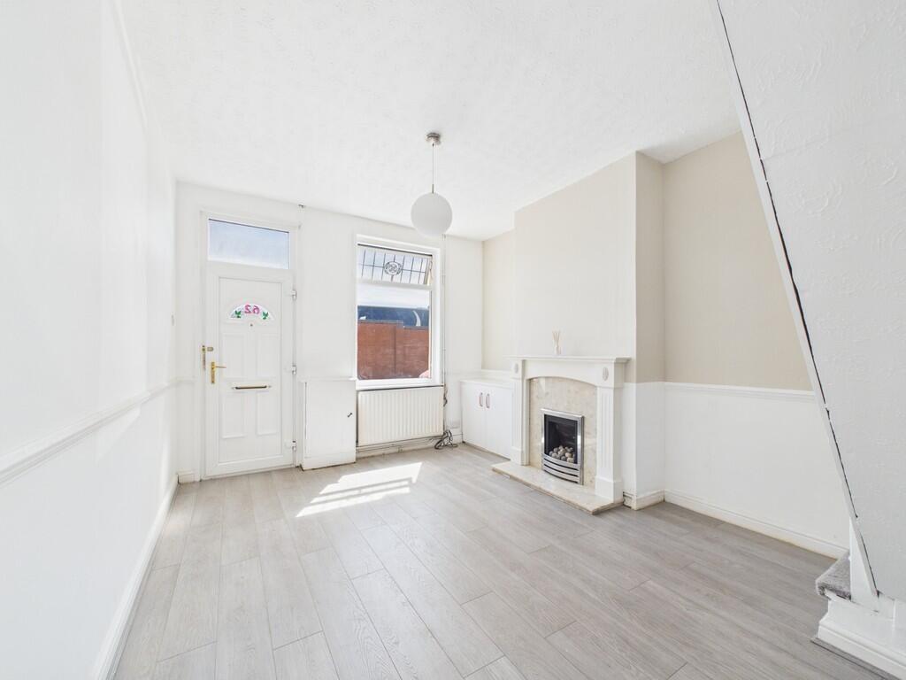
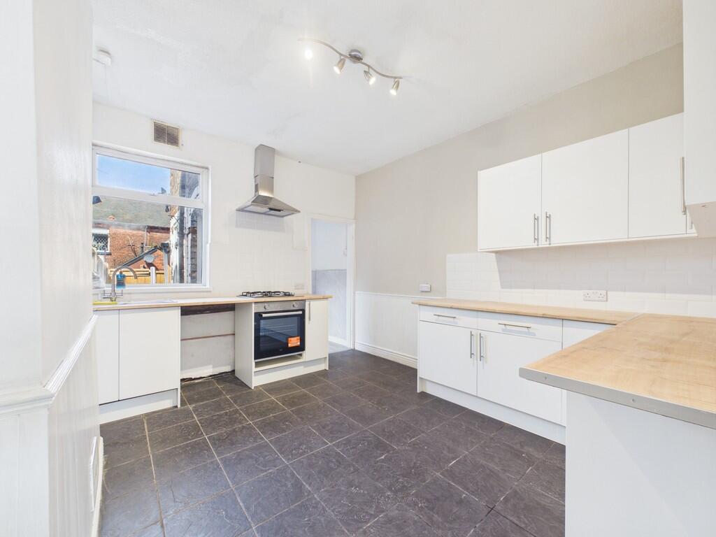
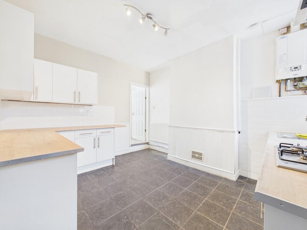
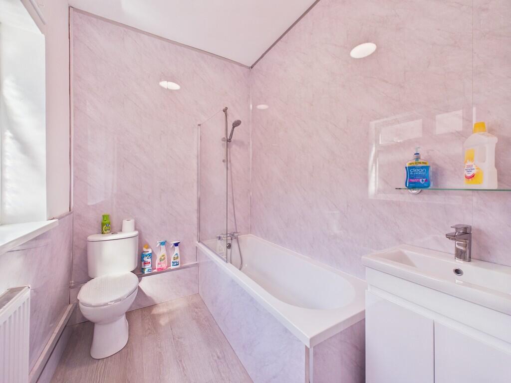
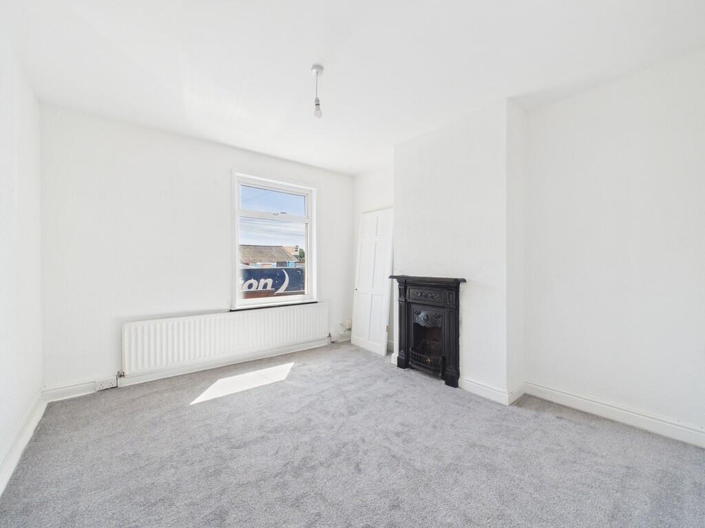
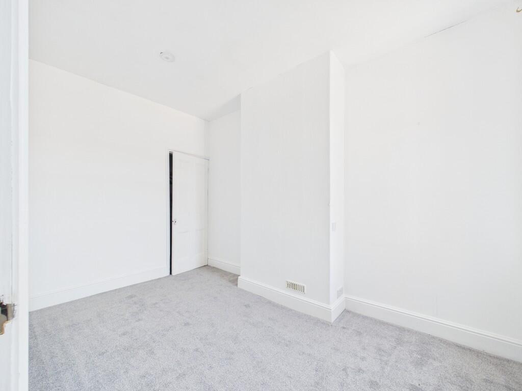

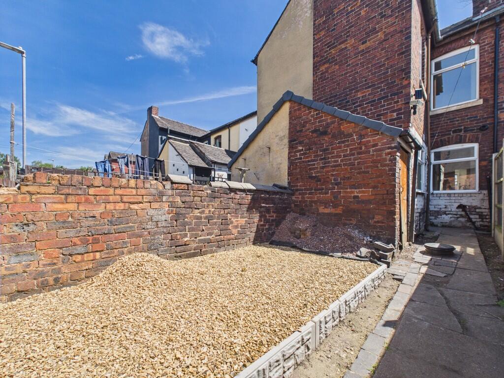
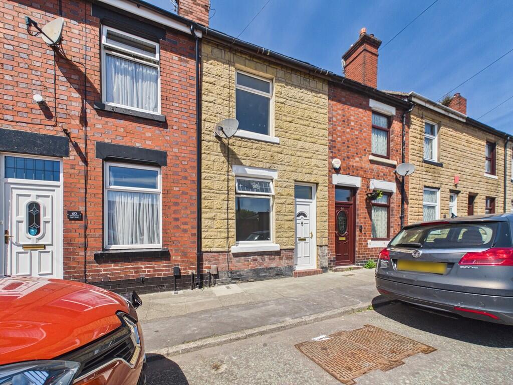
Photo 1 Photo 2 Photo 3 Photo 4 Photo 5 Photo 6 Photo 7 Photo 8 Photo 9 Photo 10 Photo 11
/ 11
Property details
Floor area
73 m²
Council tax band
A
Deprivation
Decile 1 (795 of 33,755)
Street crime
338 incidents within 1 mile (Apr 2026)
Key features
- Renovated Throughout
- Lounge
- Large kitchen dining room
- Bathroom
- 3 Bedrooms
- Rear garden
- Council tax band A
- Sought after area
- Close to Longton town centre
- Close to Hanley town centre
Additional details
- Garden
- Yes
Description
Listed by
Stoke On Trent
The Property Franchise Group
Reference: 90017907
EPC Rating & Upgrade Cost
Fetching EPC data… Refresh this page in a moment.
Flood risk
Zone: 1
Risk: Low
Job (default Low)
Floorplans
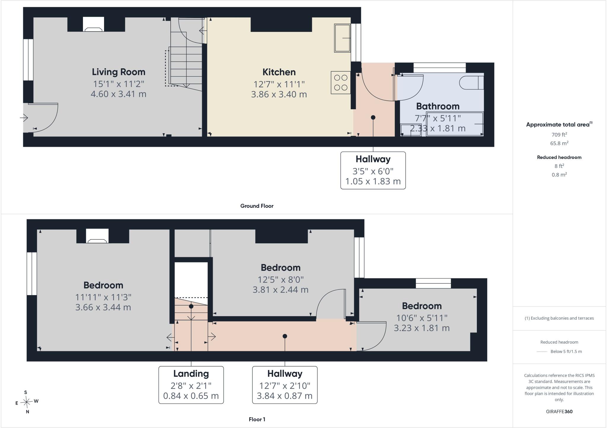
Floorplan 1
EPC Graphs
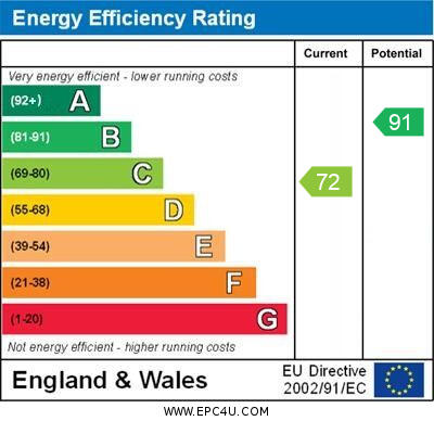
EPC 1
Rental Range
Estimated market rent for Stoke-on-Trent. Low = conservative, Realistic = average, Optimistic = best case.
Based on Local Authority from postcode lookup → Stoke-on-Trent.
LHA (30th percentile) floor for Staffordshire North: £593/mo (Apr 2025 – Mar 2026)
Location
Nearby
Nearest stations, universities and amenities (distance from property).
| Type | Name | Distance |
|---|---|---|
| Train station | Longton | 0.3 miles |
| Shop | UK Barbers | 0.3 miles |
| Shop | The Van Depot | 0.3 miles |
| Bus stop | Unknown | 0.3 miles |
| Bus stop | St James' Church | 0.7 miles |
| Hospital | Longton Cottage Hospital | 1.3 miles |
| University | University of Staffordshire Stoke Campus | 1.7 miles |
| Train station | Stoke-on-Trent | 2.0 miles |
| Hospital | Royal Stoke University Hospital | 3.1 miles |
| University | Buxton & Leek College | 9.2 miles |
Street-level crime
| Category | Count |
|---|---|
| Violence and sexual offences | 120 |
| Anti-social behaviour | 54 |
| Shoplifting | 35 |
| Public order | 25 |
| Criminal damage and arson | 21 |
| Vehicle crime | 21 |
| Other theft | 18 |
| Other crime | 13 |
| Drugs | 10 |
| Burglary | 7 |
| Robbery | 7 |
| Possession of weapons | 3 |
| Bicycle theft | 2 |
| Theft from the person | 2 |
| Total incidents | 338 |
Within 1 mile during Apr 2026. Source: data.police.uk (England & Wales).
Schools nearby
Nearest open schools with Ofsted ratings (England). Closed schools are not shown. Data from Get Information about Schools and Ofsted.
| Name | Type | Distance | Ofsted |
|---|---|---|---|
| Co-Op Academy Clarice Cliff | Primary | 0.2 miles | Requires improvement — 18 Jan 2024 |
| Gladstone Primary Academy | Primary | 0.5 miles | Good — 18 Apr 2013 |
| St Thomas More Catholic Academy | Secondary | 0.5 miles | Good — 8 Jun 2017 |
| Sandford Hill Primary School | Primary | 0.6 miles | Good — 15 Nov 2023 |
| St Gregory's Catholic Academy | Primary | 0.7 miles | Outstanding — 12 Jan 2017 |
Rental Comparables
Residential lets from OpenRent and Rightmove for the area (same bedroom count). Use to validate rent estimates. Student lets are excluded.
Average rent: £1,062/mo (21 listings)