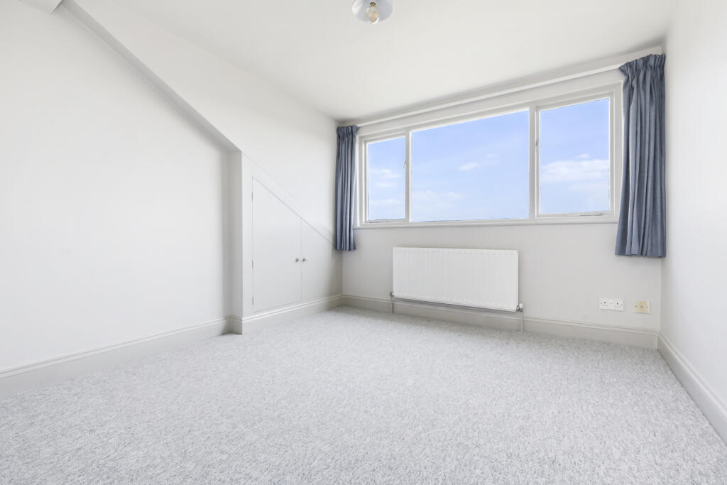
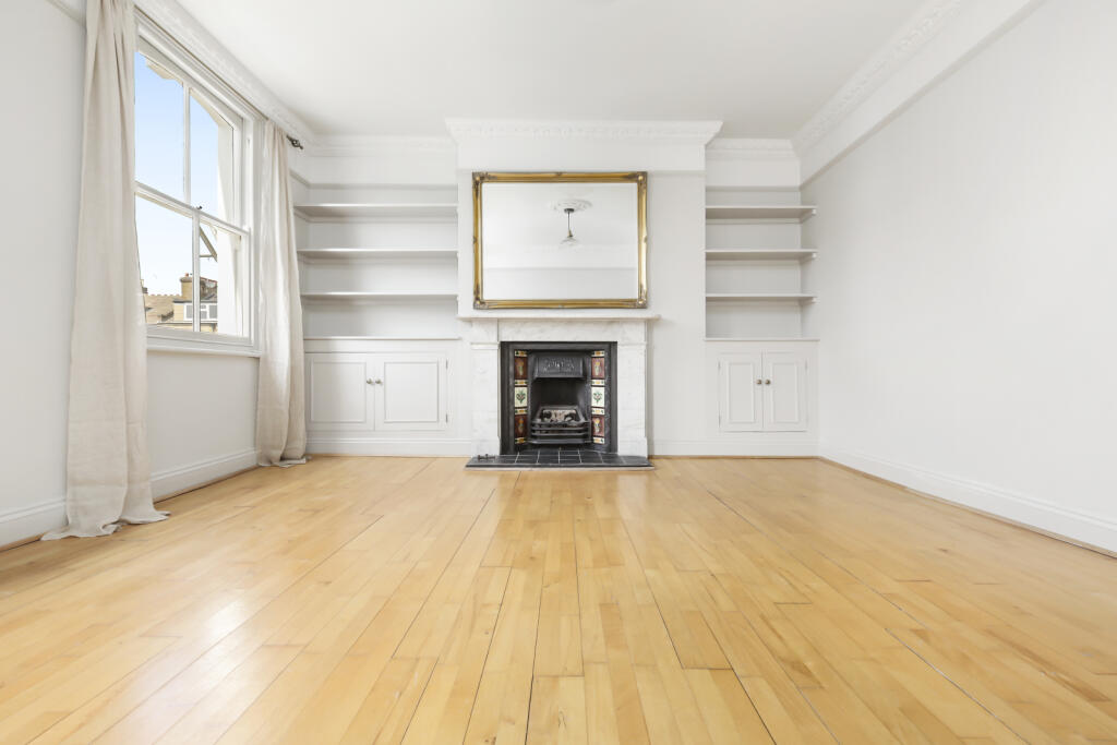
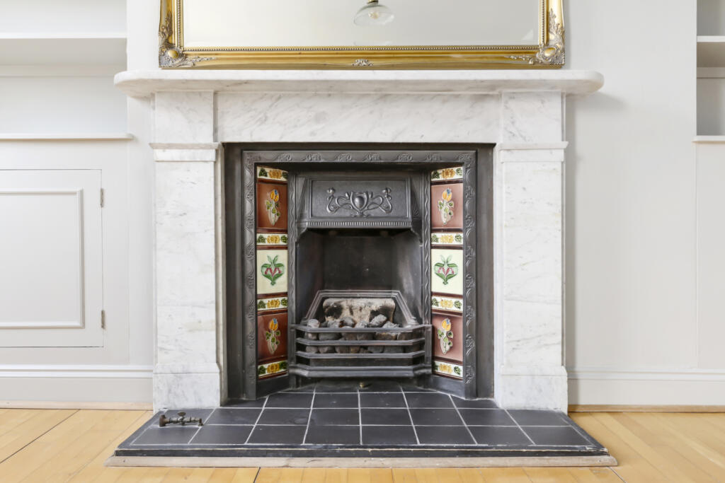
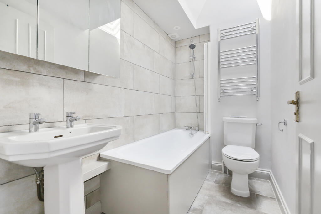
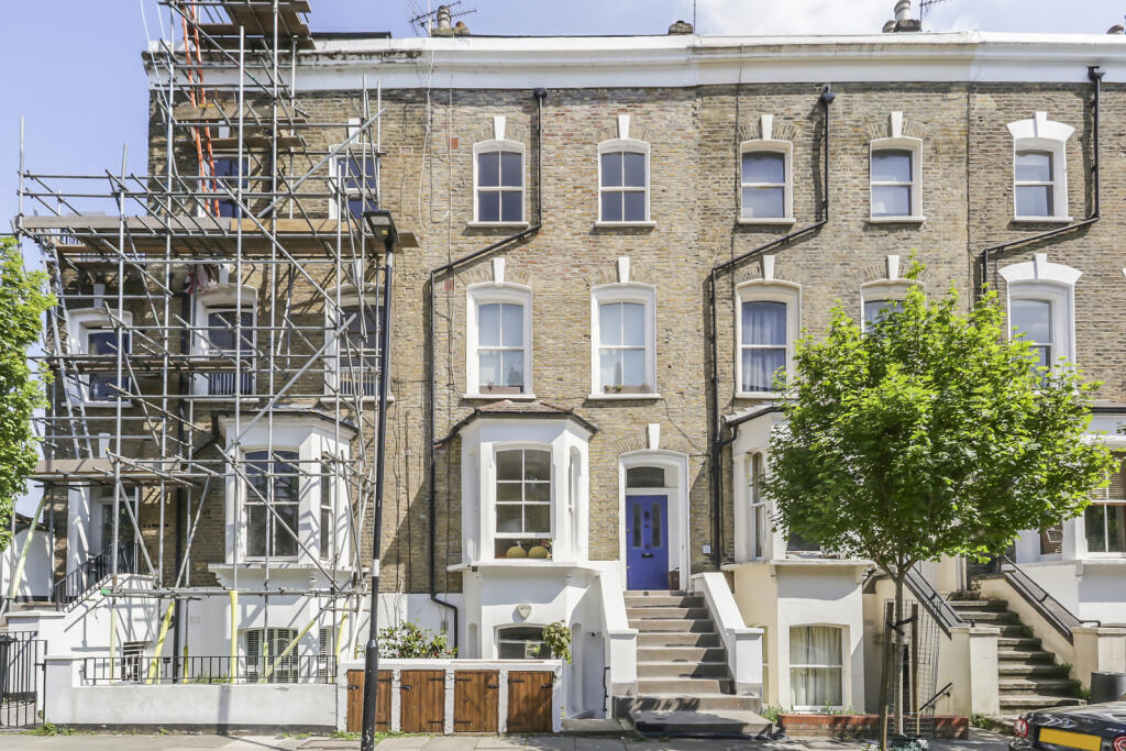
FLAT D
34 ABERDEEN ROAD, LONDON, LONDON, GREATER LONDON N5 2UH
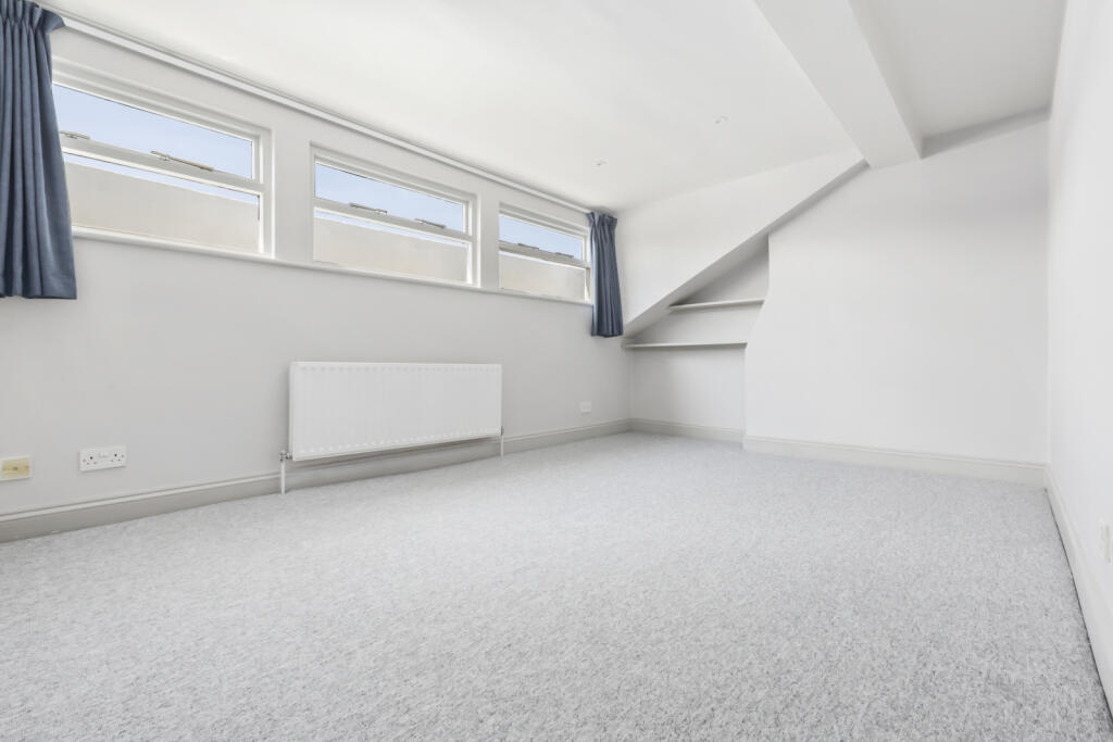
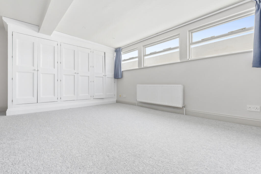
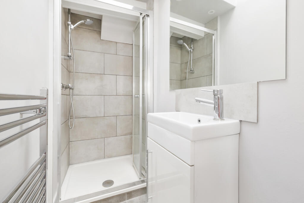
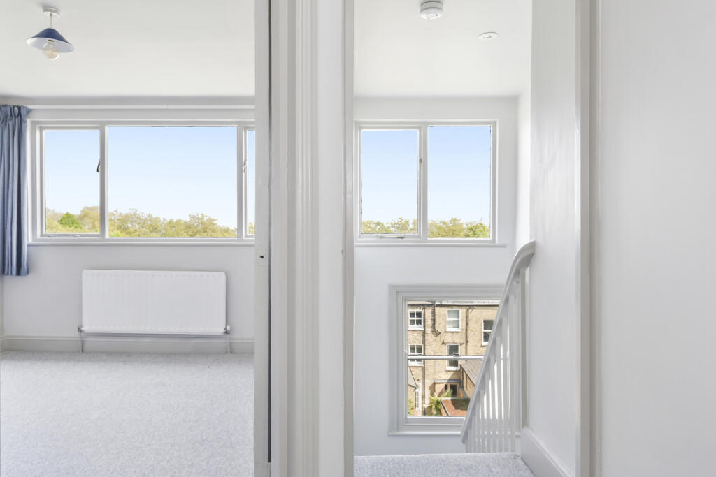
Property details
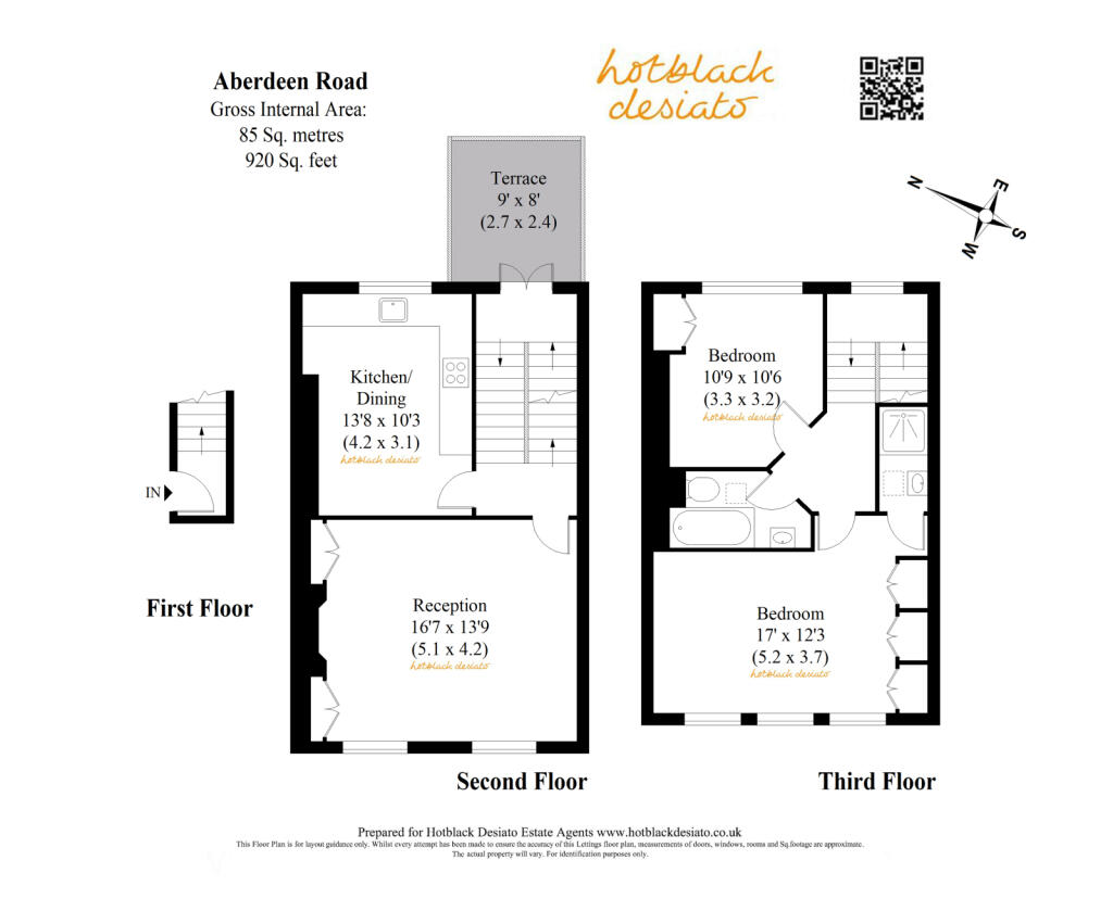
Floor area
83 m²
Council tax band
D
Deprivation
Decile 5 (15,558 of 33,755)
Street crime
1526 incidents within 1 mile (Mar 2026)
Key features
- UNFURNISHED
- MOMENTS FROM HIGHBURY FIELDS
- SPLIT LEVEL
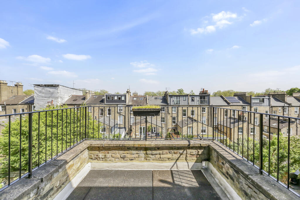
- PRIVATE LARGE TERRACE
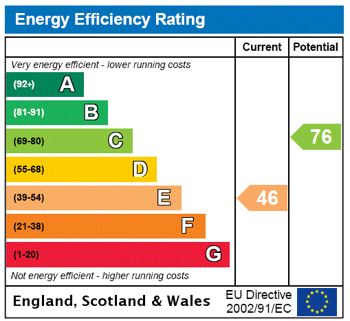
- EPC BAND - E
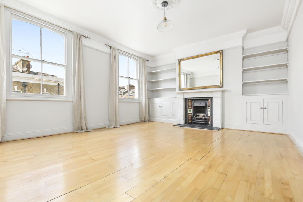
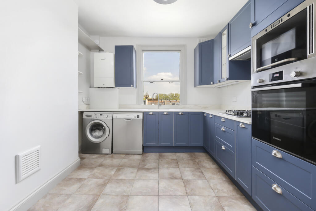
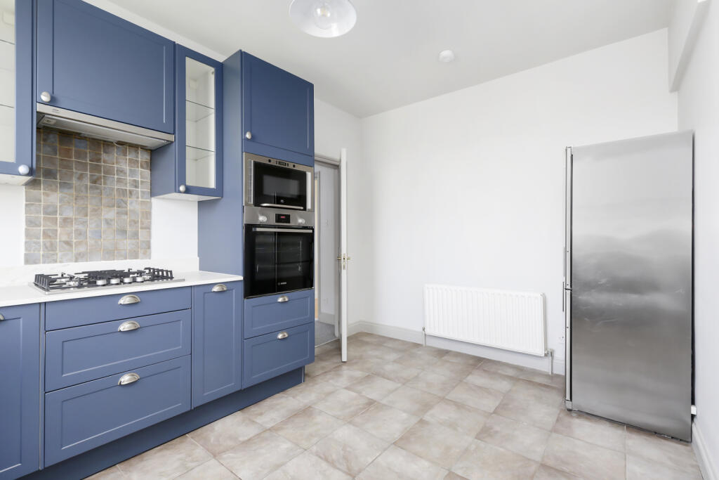
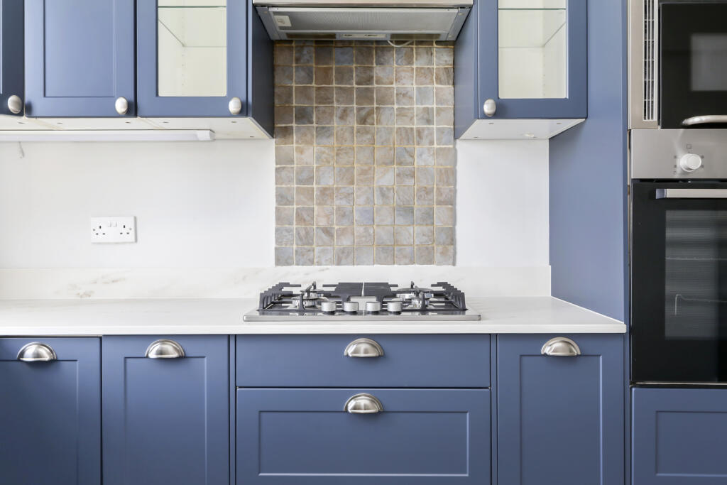
Description
Listed by
Highbury
Hotblack Desiato
Reference: 161258672
EPC Rating & Upgrade Cost
Fetching EPC data… Refresh this page in a moment.
Flood risk
Zone: 1
Risk: Low
Job (default Low)
EPC Graphs
EPC Rating Graph
Rental Range
Estimated market rent for Islington. Low = conservative, Realistic = average, Optimistic = best case.
Based on Local Authority from postcode lookup → Islington.
LHA (30th percentile) floor for Cambridge: £947/mo (Apr 2025 – Mar 2026)
Location
Nearby
Nearest stations, universities and amenities (distance from property).
| Type | Name | Distance |
|---|---|---|
| Bus stop | Balfour Road / Crowfield House | 0.1 miles |
| Shop | Da Mario | 0.1 miles |
| Shop | La Fromagerie | 0.1 miles |
| Train station | Canonbury | 0.4 miles |
| Train station | Drayton Park | 0.5 miles |
| Hospital | Moorfields at Hoxton | 1.4 miles |
| University | University of Wales Trinity Saint David London | 1.4 miles |
| University | Paris Dauphine University - London Campus | 1.7 miles |
| Hospital | Medlabs Diagnostics | 2.4 miles |
Street-level crime
| Category | Count |
|---|---|
| Violence and sexual offences | 332 |
| Anti-social behaviour | 321 |
| Theft from the person | 163 |
| Drugs | 104 |
| Other theft | 100 |
| Shoplifting | 96 |
| Public order | 90 |
| Criminal damage and arson | 75 |
| Robbery | 61 |
| Vehicle crime | 61 |
| Burglary | 51 |
| Bicycle theft | 42 |
| Other crime | 16 |
| Possession of weapons | 14 |
| Total incidents | 1526 |
Within 1 mile during Mar 2026. Source: data.police.uk (England & Wales).
Schools nearby
Nearest open schools with Ofsted ratings (England). Closed schools are not shown. Data from Get Information about Schools and Ofsted.
| Name | Type | Distance | Ofsted |
|---|---|---|---|
| Highbury Quadrant Primary School | Primary | 0.1 miles | Requires improvement — 17 Sep 2023 |
| The London Screen Academy | Other | 0.2 miles | — (No rating) |
| St Joan of Arc RC Primary School | Primary | 0.2 miles | Good — 1 Sep 2014 |
| Highbury Fields School | Secondary | 0.3 miles | Outstanding — 10 Nov 2016 |
| City of London Academy Highbury Grove | Secondary | 0.3 miles | Good — 20 Jun 2022 |
Rental Comparables
Residential lets from OpenRent and Rightmove for the area (same bedroom count). Use to validate rent estimates. Student lets are excluded.
| Title | Rent | Beds | Distance | As seen on |
|---|---|---|---|---|
| 2 Bed Flat, Islington, N5 | £2,500/mo | 2 | 0.39 miles | OpenRent |
| 2 Bed Flat, Avenell Road, N5 | £3,240/mo | 2 | 0.46 miles | OpenRent |
Average rent: £2,870/mo (2 listings)