1
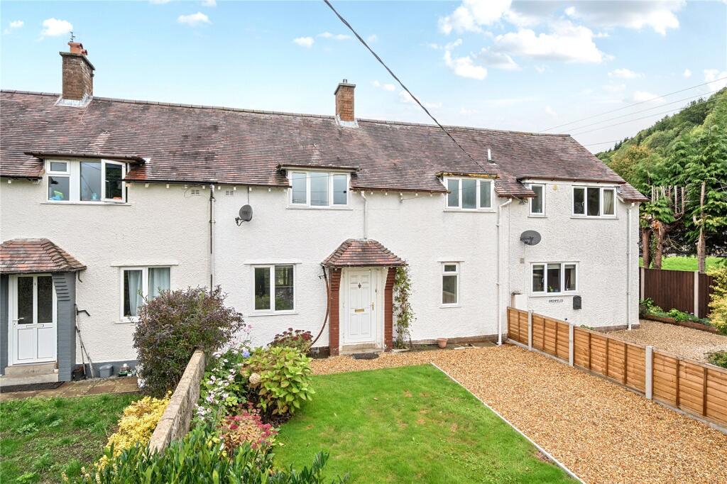
CRAVEN ARMS, NEWCASTLE, SHROPSHIRE SY7 8QP
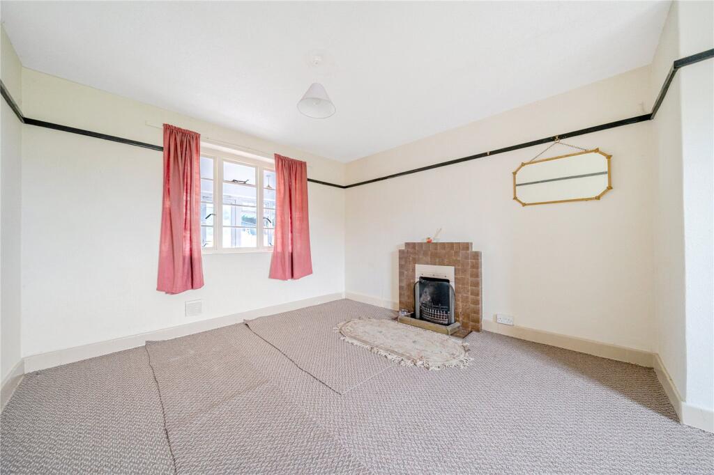
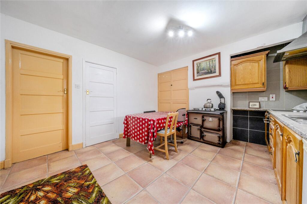
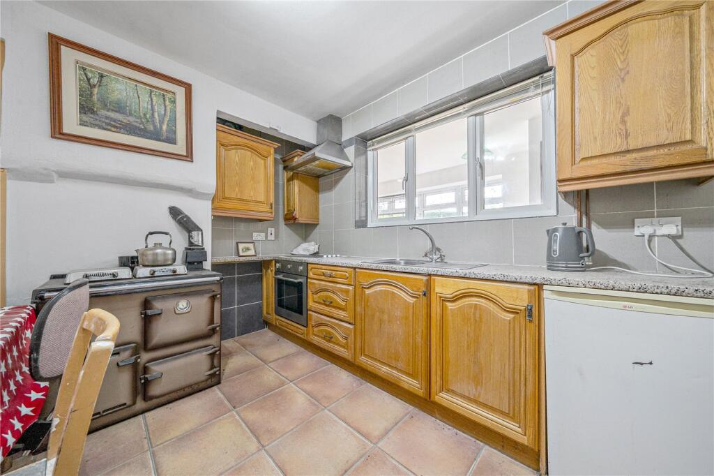
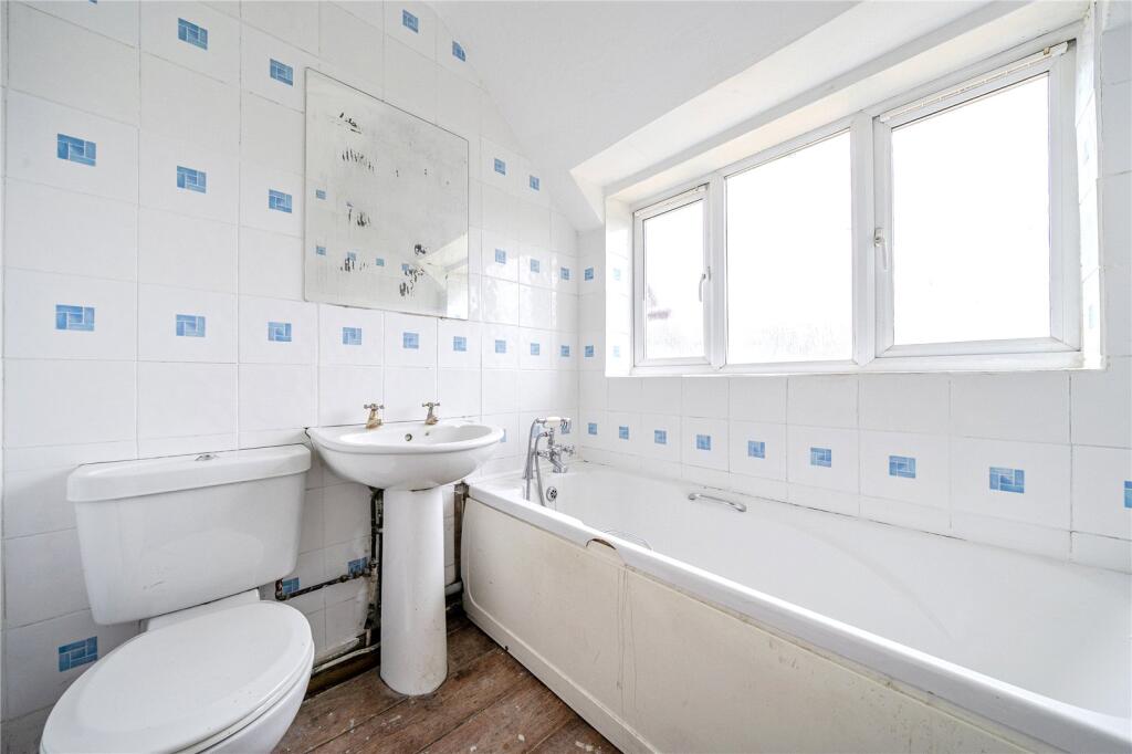
Picture No. 20 Picture No. 10 Picture No. 08 Picture No. 15 Picture No. 04 Picture No. 09 Picture No. 11 Picture No. 05 Picture No. 03 Picture No. 02 Picture No. 06 Picture No. 07 Picture No. 16 Picture No. 13 Picture No. 01 Picture No. 14 Picture No. 19 Picture No. 12 Picture No. 17 Picture No. 18
/ 20
Property details
Tenure
FREEHOLD
Floor area
101 m²
Council tax band
C
Last sold
£119,995 Sep 2005
Local average
£219,500 (-9.3%)
Deprivation
Decile 4 (13,204 of 33,755)
Street crime
1 incident within 1 mile (Apr 2026)
Additional details
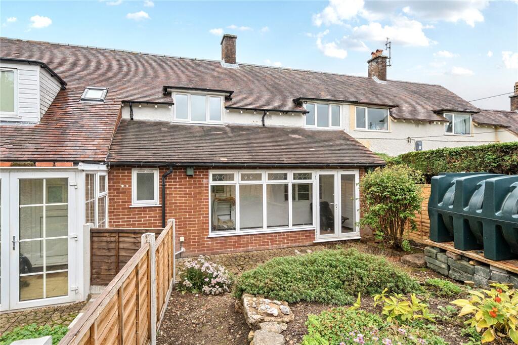
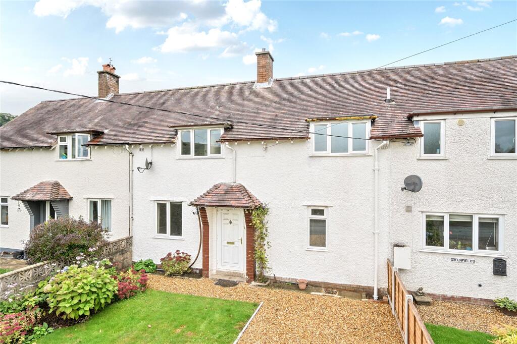
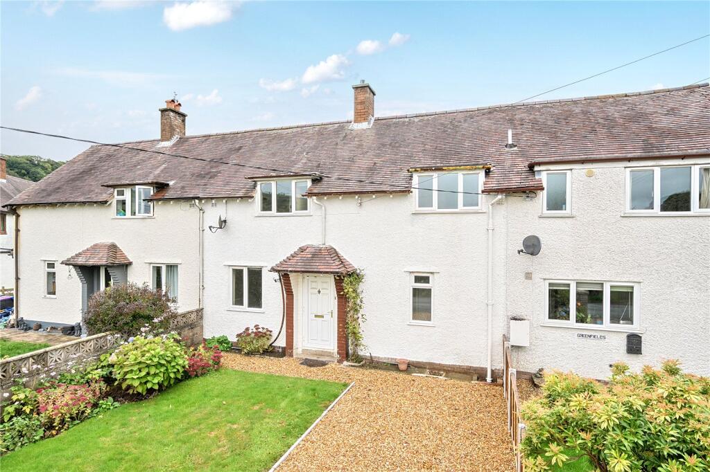
- Parking
- Yes
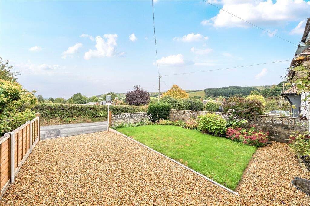
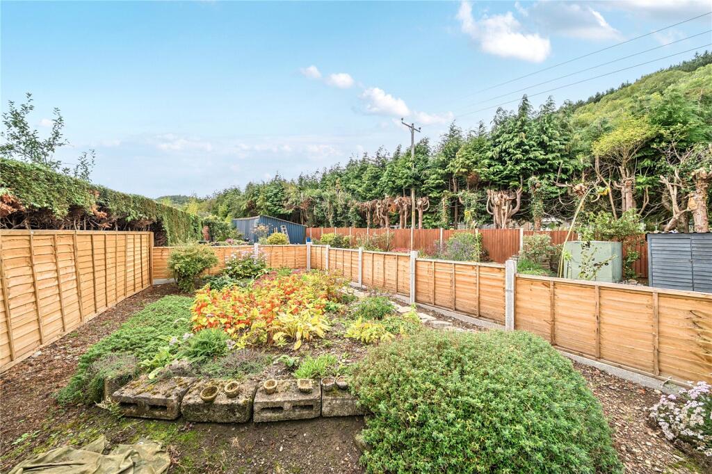
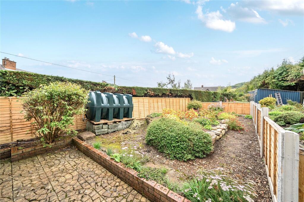
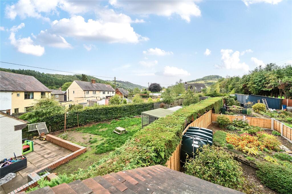
- Garden
- Yes
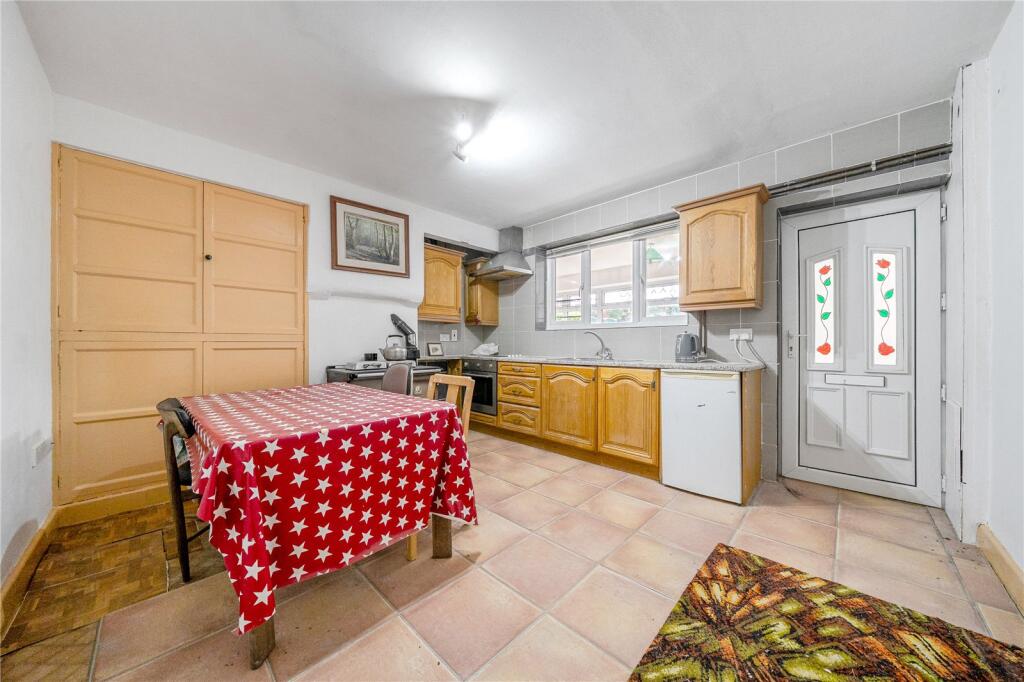
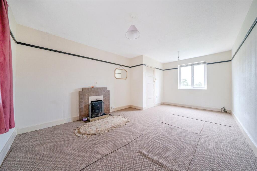
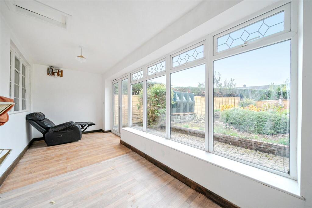
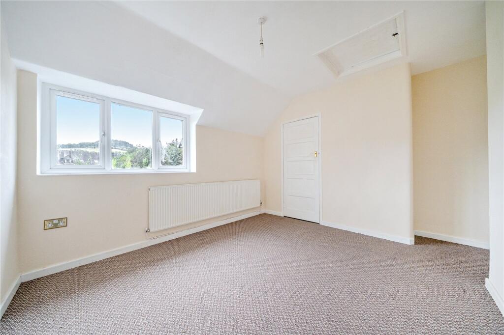
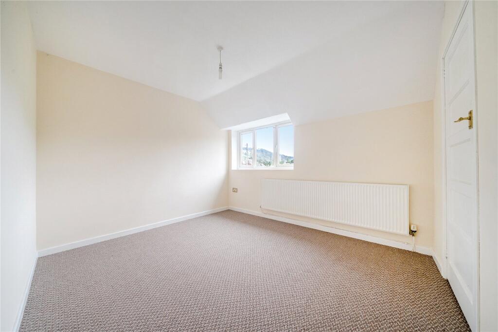
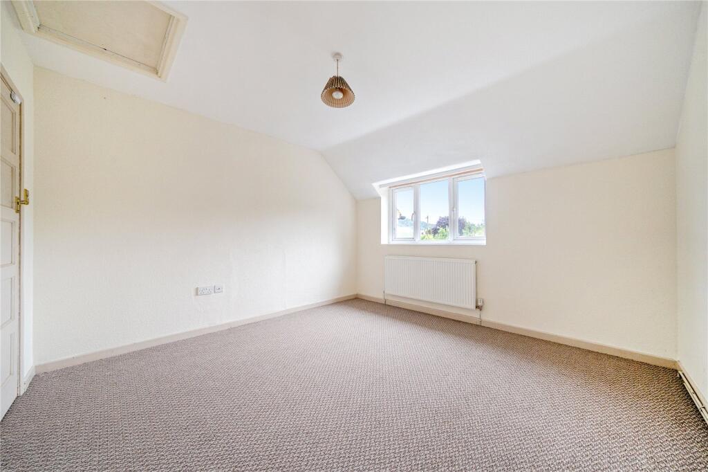
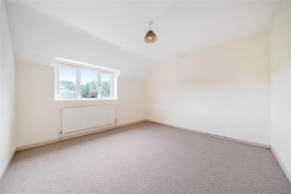
Description
Listed by
Craven Arms
McCartneys LLP
Reference: 167475452
EPC Rating & Upgrade Cost
Fetching EPC data… Refresh this page in a moment.
Flood risk
Zone: 1
Risk: Low
Job (default Low)
Floorplans
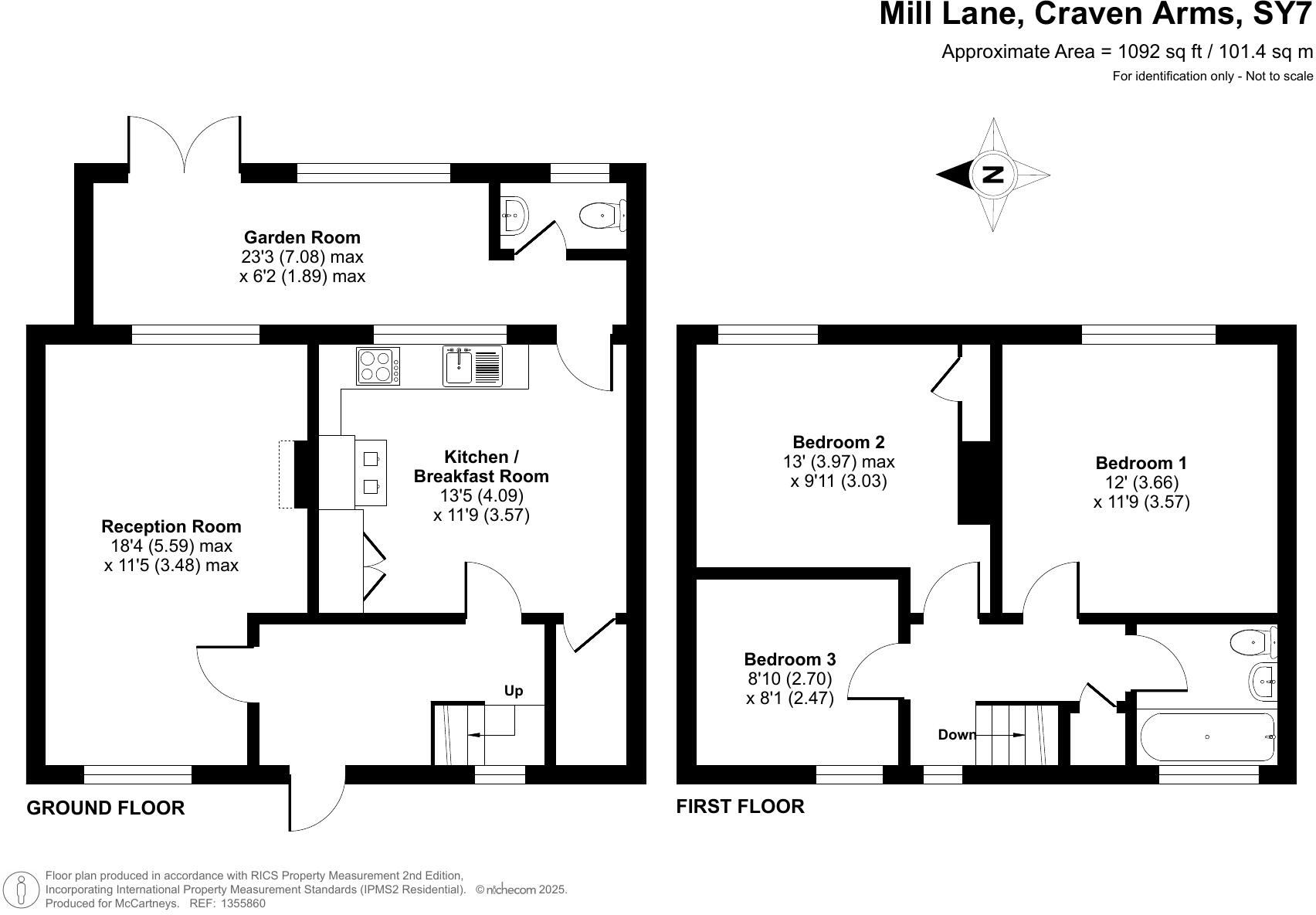
Floorplan
EPC Graphs
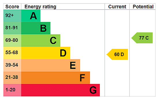
EPC Rating Graph
Price history
| Event | Date | Price | % change |
|---|---|---|---|
| Sold | 23/09/2005 (20 years ago) | £119,995 | — |
Source: HM Land Registry Price Paid Data. Crown copyright.
Sold Comparables
Same street and nearby sales within 0.25 miles (last 5 years). Data from Land Registry Price Paid.
| Address | Price | Date | Type |
|---|---|---|---|
| 3 WEST ROAD, NEWCASTLE, CRAVEN ARMS, SHROPSHIRE, SY7 8QW | £185,000 | 18/07/2022 | Terraced |
Area average: £185,000 (1 sale)
Capital growth trend
Land Registry outcode average: last 12 months vs 5y and 10y ago (from sold prices).
House Price Index (HM Land Registry — official index, not sold-price averages): Shropshire. Series: Terraced. As of March 2026.
Rental Range
Estimated market rent for Shropshire. Low = conservative, Realistic = average, Optimistic = best case.
Based on Local Authority from postcode lookup → Shropshire.
LHA (30th percentile) floor for Shropshire: £723/mo (Apr 2025 – Mar 2026)
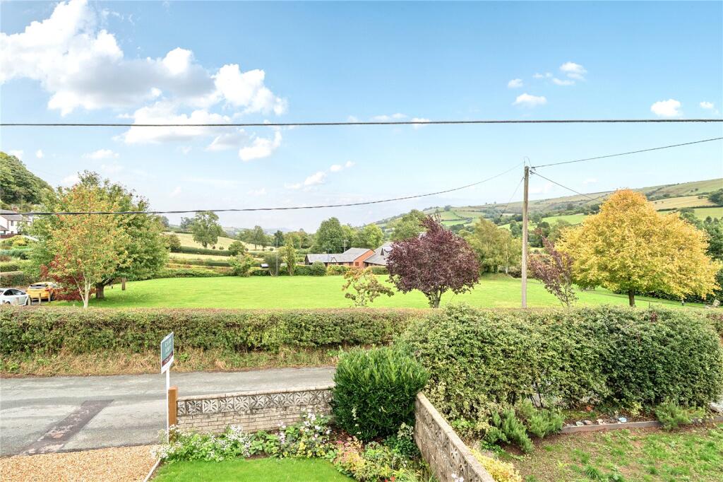
Location
Nearby
Nearest stations, universities and amenities (distance from property).
| Type | Name | Distance |
|---|---|---|
| Shop | Spar | 3.3 miles |
| Shop | Caractacus | 3.3 miles |
| Bus stop | Clun High Street | 3.5 miles |
| Bus stop | Unknown | 3.8 miles |
| Train station | Knucklas | 5.2 miles |
| Hospital | Bishops Community Hospital | 6.1 miles |
| Train station | Llangynllo | 6.3 miles |
| Hospital | Montgomeryshire County Infirmary | 10.6 miles |
Street-level crime
| Category | Count |
|---|---|
| Violence and sexual offences | 1 |
| Total incidents | 1 |
Within 1 mile during Apr 2026. Source: data.police.uk (England & Wales).
Schools nearby
Nearest open schools with Ofsted ratings (England). Closed schools are not shown. Data from Get Information about Schools and Ofsted.
| Name | Type | Distance | Ofsted |
|---|---|---|---|
| Newcastle CofE Primary School | Primary | 0.0 miles | Good — 8 Apr 2014 |
| The Crows Nest | Other | 4.7 miles | — (No rating) |
Rental Comparables
Rental comparables are temporarily unavailable while listing-site fetches are paused. Try again later.
Rent-driven metrics
Based on Area rent estimate.
- Rent ratio — Monthly rent ÷ purchase price (1% rule). 1%+ = strong, 0.8–1% = okay, <0.8% = weak for cashflow.
- Max investor price — Rent ÷ 0.8%; the price at which rent would be 0.8% of price (Stoke-style target).
- Target investor price — Rent ÷ 1%; the price at which rent would be 1% of price (strong cashflow band).
- Gross yield — Annual rent as % of purchase price (no costs).