FLAT 1
66 CADOGAN SQUARE, LONDON, GREATER LONDON SW1X 0EA
£12,783 pcm
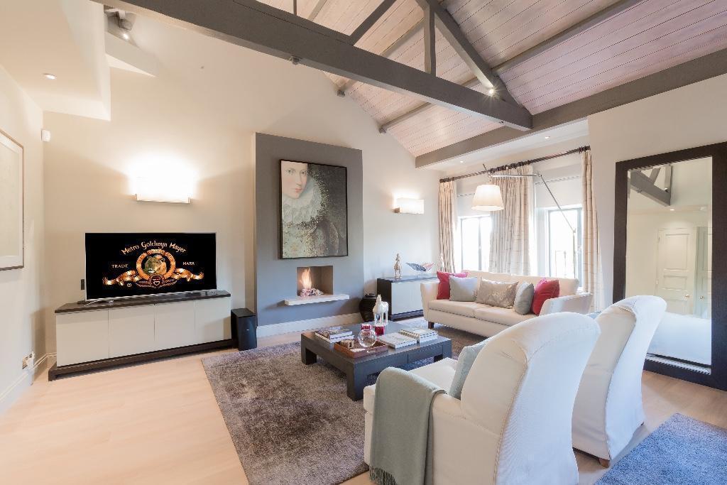
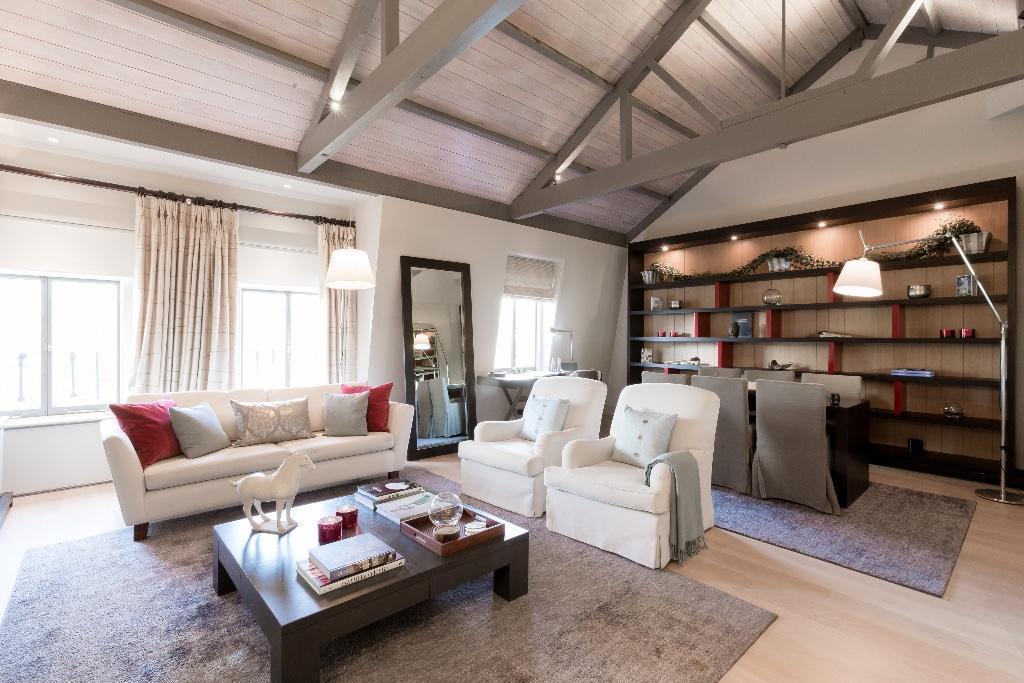
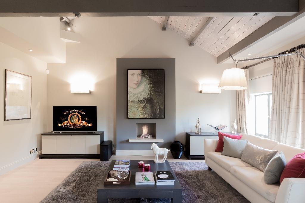
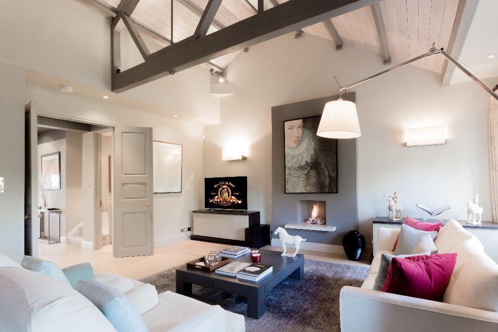
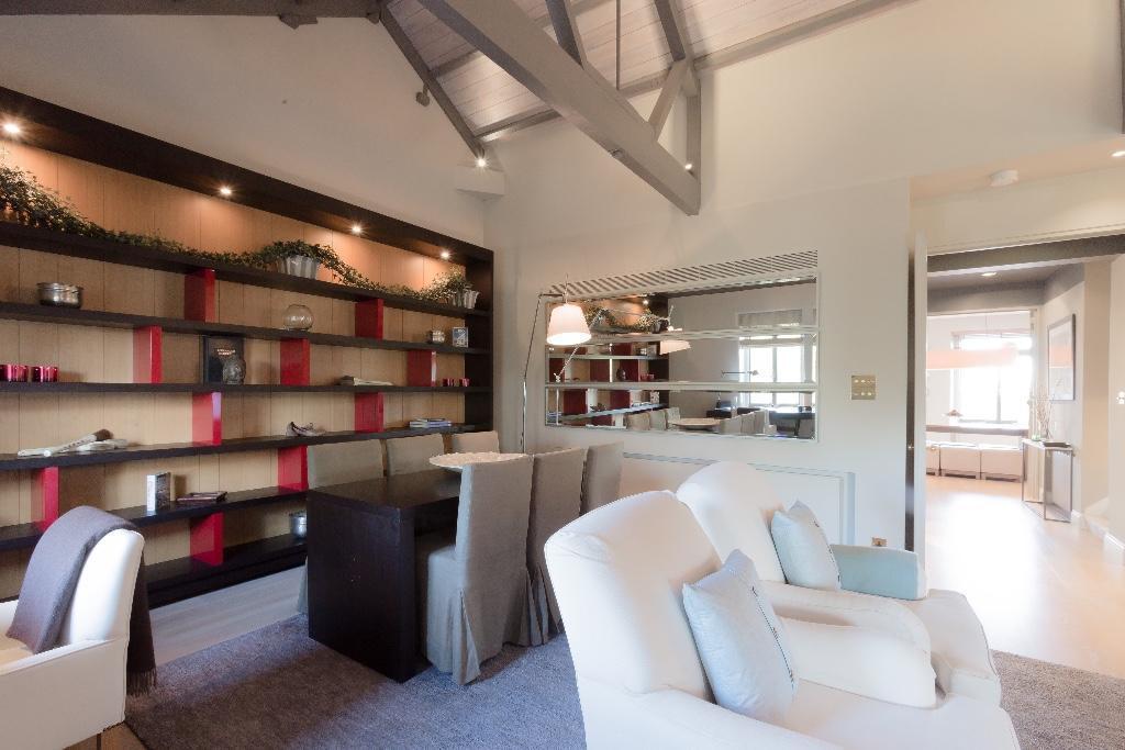
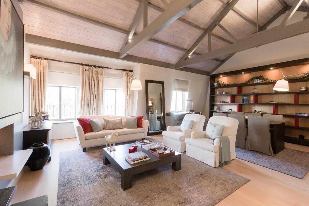
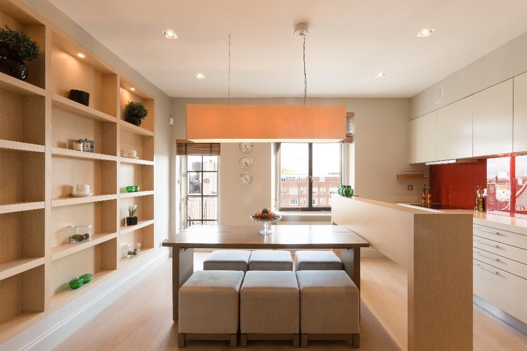
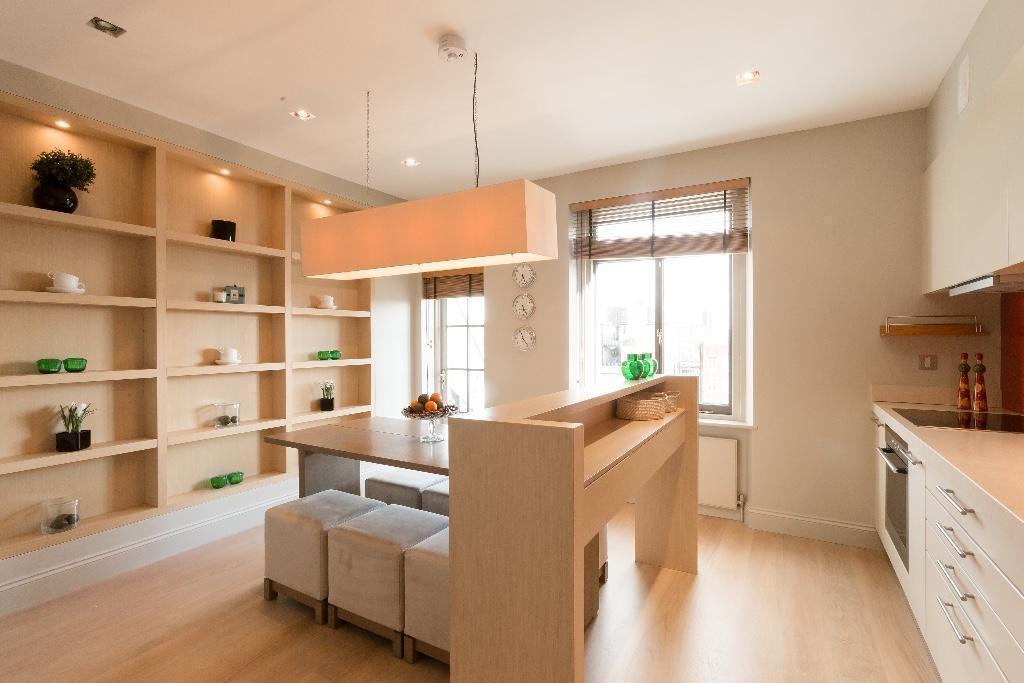
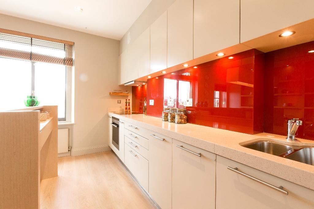
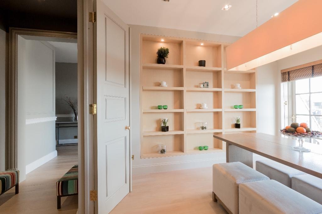
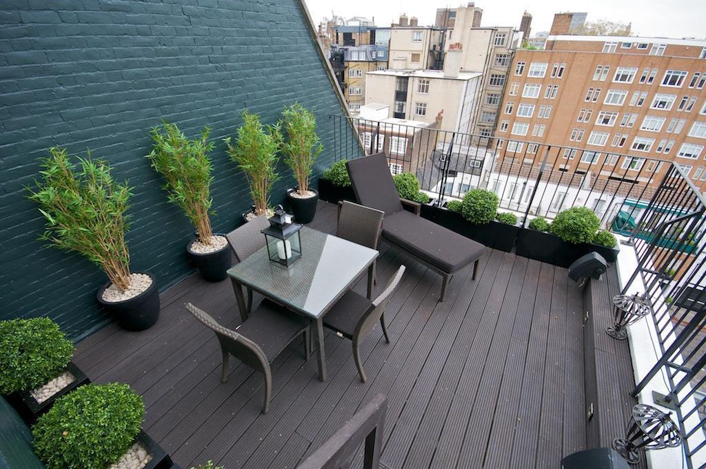
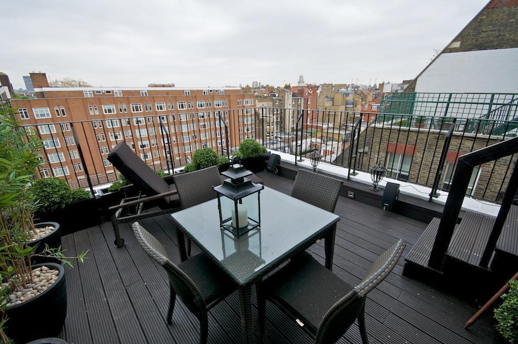
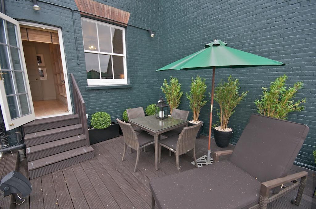
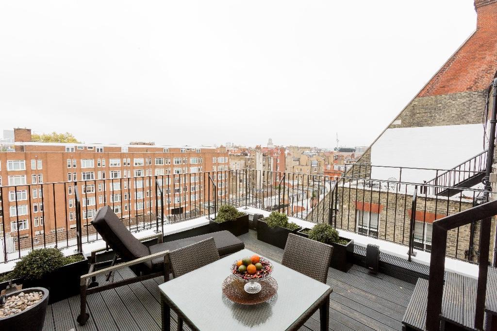
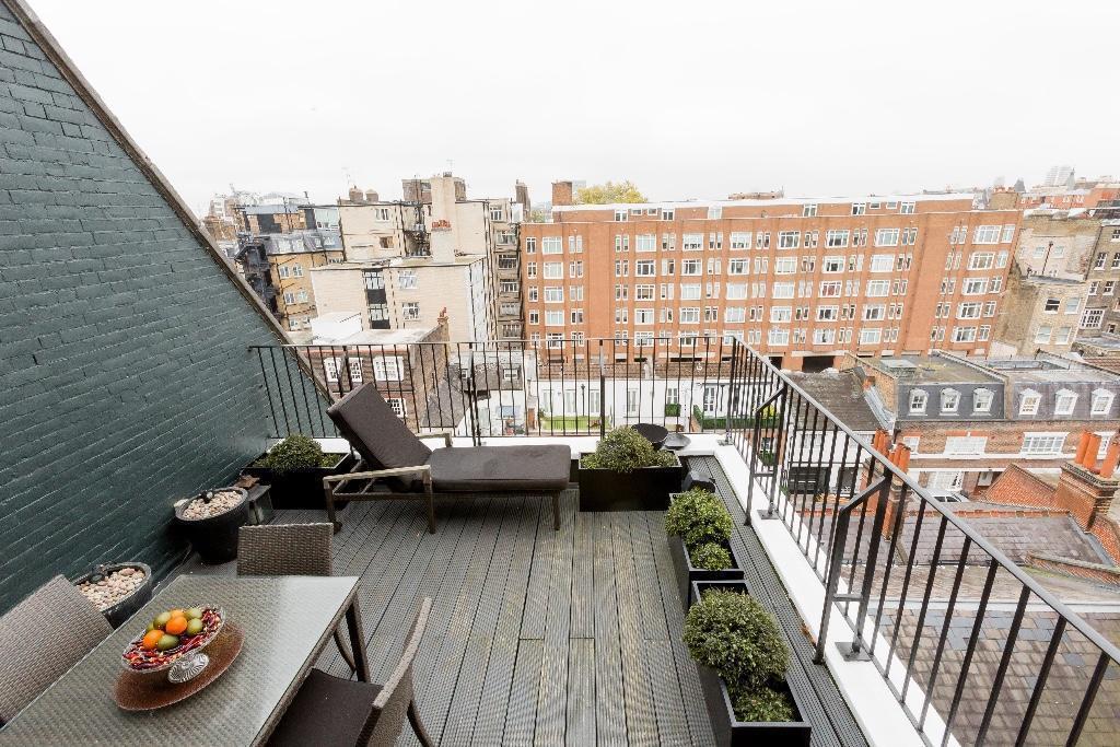
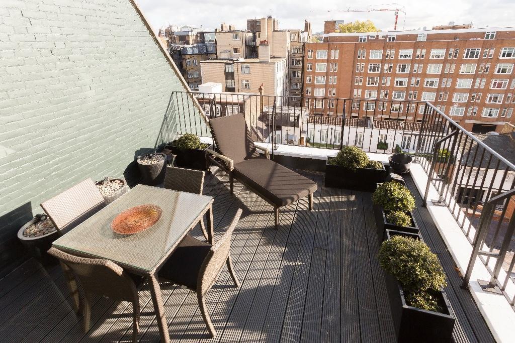
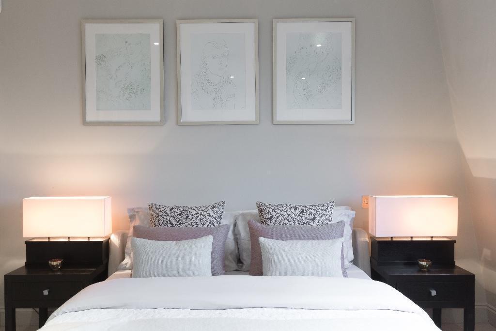
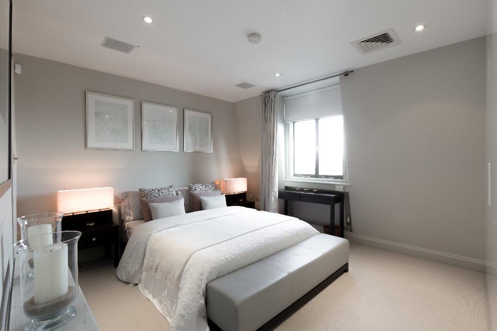
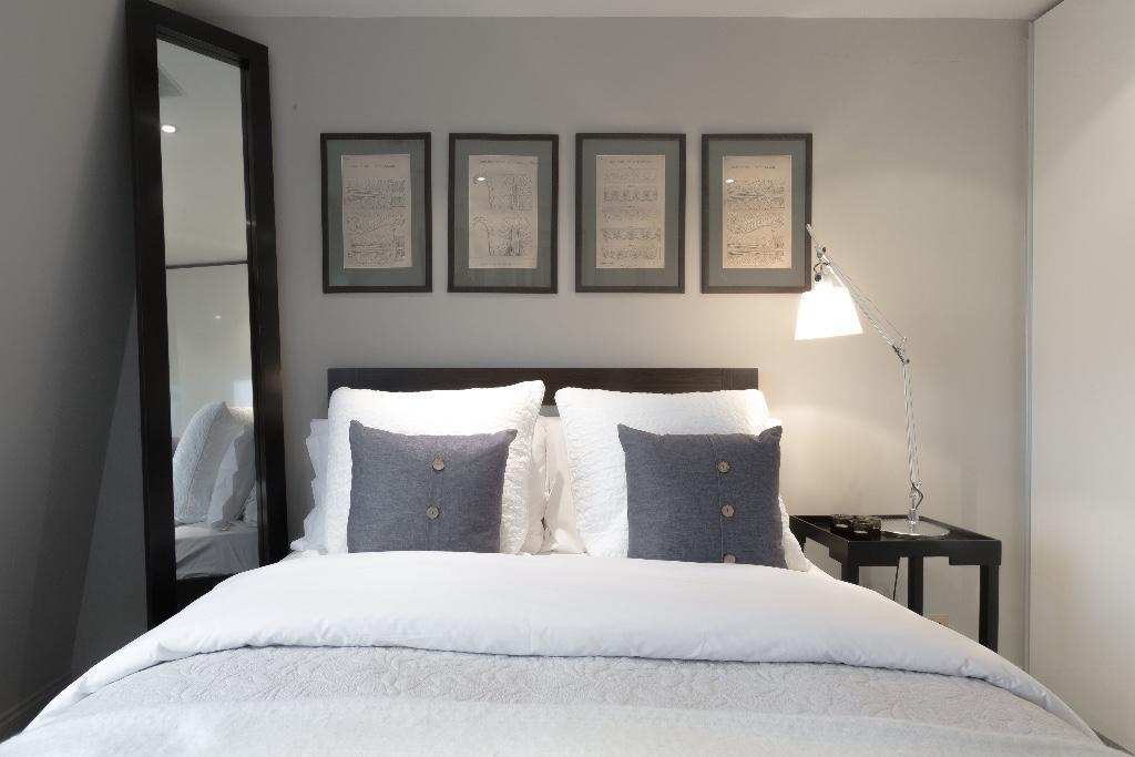
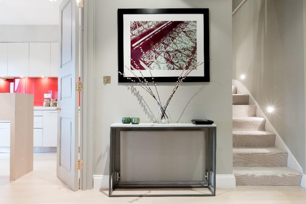
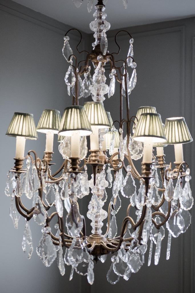
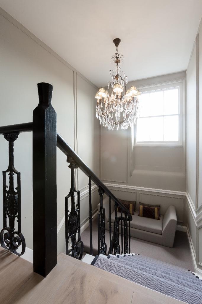
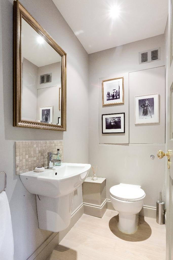
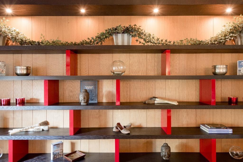
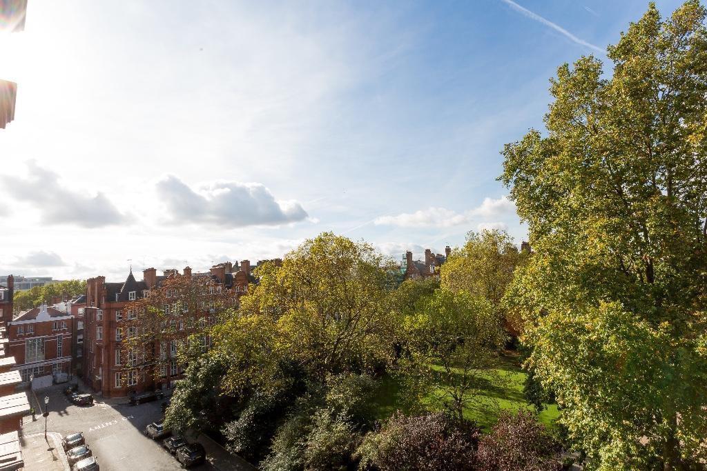
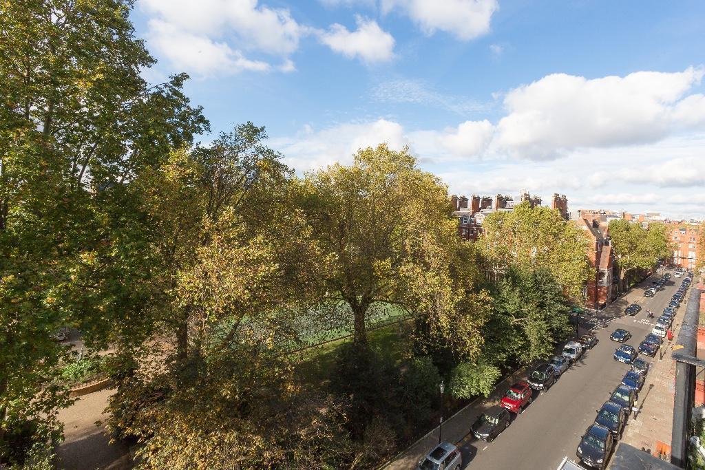
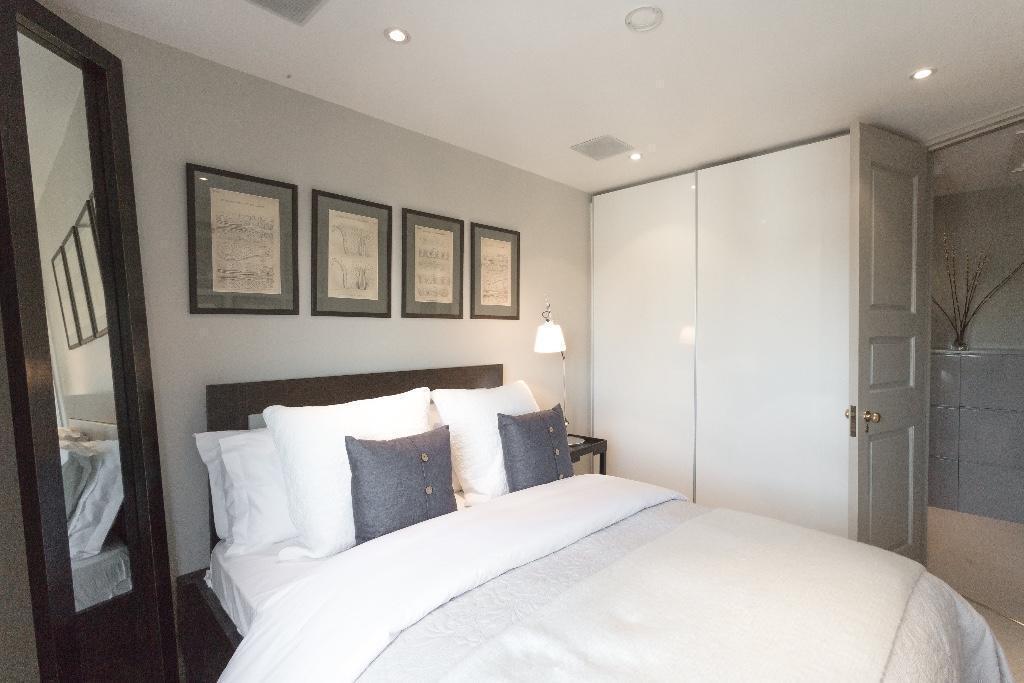
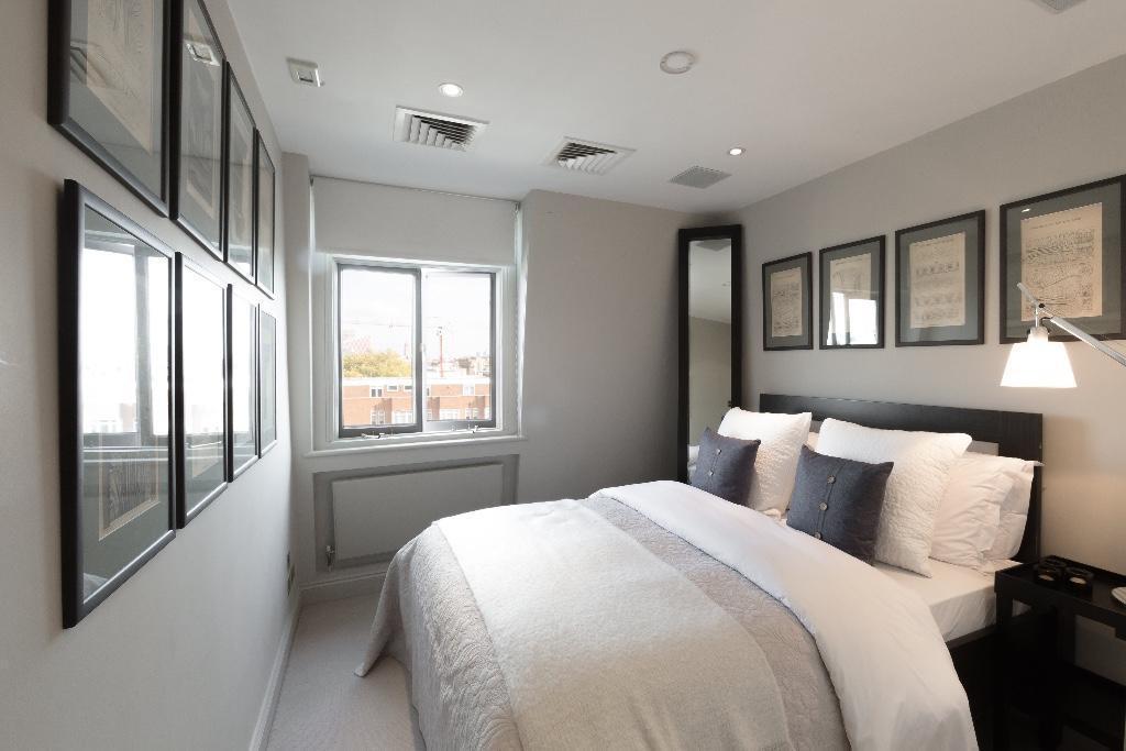
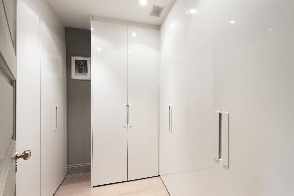
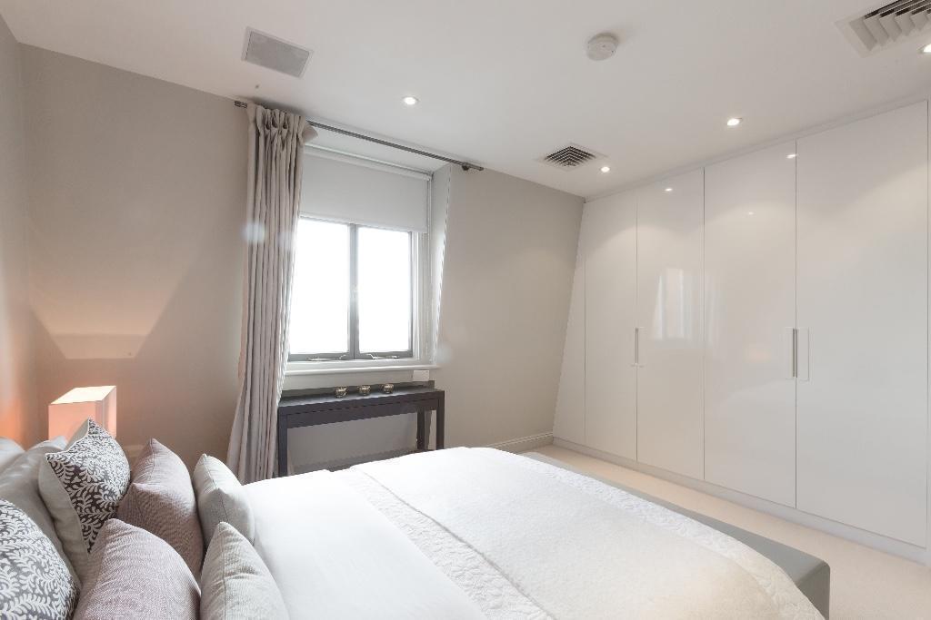
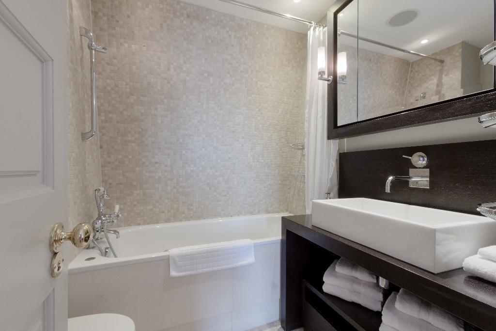
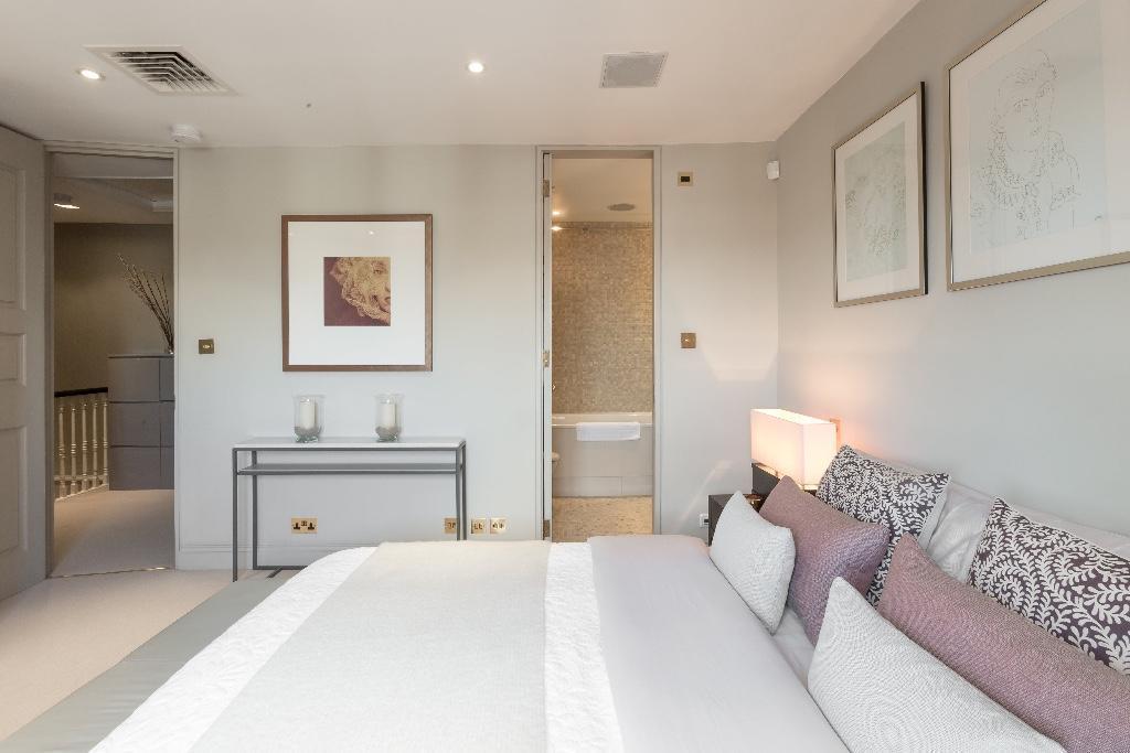
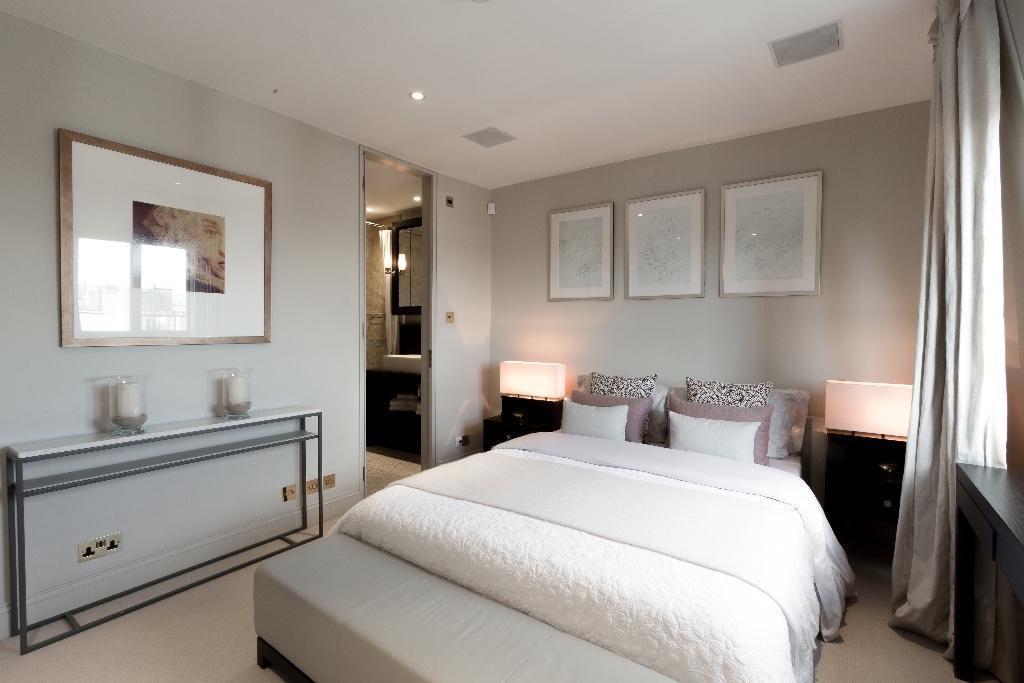
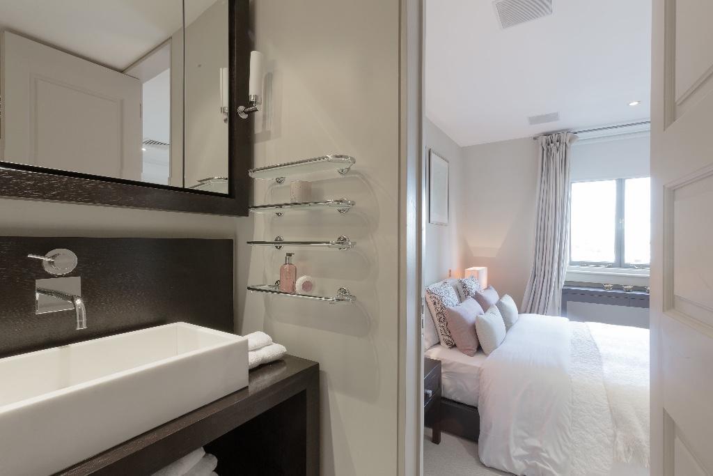
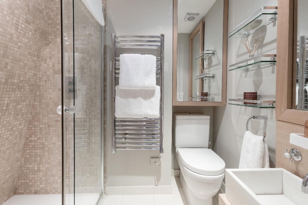
Photo 1 Photo 2 Photo 3 Photo 4 Photo 5 Photo 6 Photo 7 Photo 8 Photo 9 Photo 10 Photo 11 Photo 12 Photo 13 Photo 14 Photo 15 Photo 16 Photo 17 Photo 18 Photo 19 Photo 20 Photo 21 Photo 22 Photo 23 Photo 24 Photo 25 Photo 26 Photo 27 Photo 28 Photo 29 Photo 30 Photo 31 Photo 32 Photo 33 Photo 34 Photo 35
/ 35
Property details
Floor area
152 m²
Year built
England and Wales: before 1900
Deprivation
Decile 8 (25,158 of 33,755)
Street crime
1115 incidents within 1 mile (Apr 2026)
Additional details
- Heating
- Central
- Parking
- On street, Permit
- Garden
- Terrace
Description
Fully Furnished to highest detail.
2 bedrooms - maisonette flat
2 bathrooms (1 en-suite)
Living room and kitchen fully equipped
Private Terrace
Fireplace and ac
Storage room/Laundry room
Direct lift to flat and located on the 4th floor.
Listed by
London
Primecasa LTD
Reference: 72645683
EPC Rating & Upgrade Cost
Fetching EPC data… Refresh this page in a moment.
Flood risk
Zone: 1
Risk: Low
Job (default Low)
Company ownership
Registered legal owner is a company.
Company: CADOGAN ESTATES LIMITED (0687324)
Rental Range
Estimated market rent for Kensington and Chelsea. Low = conservative, Realistic = average, Optimistic = best case.
Based on Local Authority from postcode lookup → Kensington and Chelsea.
LHA (30th percentile) floor for Central London: £1,789/mo (Apr 2025 – Mar 2026)
Location
Nearby
Nearest stations, universities and amenities (distance from property).
| Type | Name | Distance |
|---|---|---|
| Shop | Rosamosario | 0.1 miles |
| Shop | Smith and Gardner | 0.1 miles |
| Bus stop | Sloane Square Station / Symon Street | 0.2 miles |
| Bus stop | Sloane Street / Sloane Square Station | 0.2 miles |
| Train station | Sloane Square | 0.3 miles |
| Train station | Knightsbridge | 0.5 miles |
| University | Faculty of Medicine (Imperial College London) | 0.6 miles |
| Hospital | Royal Brompton Hospital | 0.6 miles |
| Hospital | The Royal Marsden Hospital | 0.6 miles |
| University | National Heart and Lung Institute | 0.7 miles |
Street-level crime
| Category | Count |
|---|---|
| Anti-social behaviour | 227 |
| Other theft | 178 |
| Violence and sexual offences | 175 |
| Theft from the person | 133 |
| Shoplifting | 122 |
| Vehicle crime | 87 |
| Public order | 53 |
| Criminal damage and arson | 33 |
| Burglary | 29 |
| Drugs | 28 |
| Robbery | 18 |
| Bicycle theft | 15 |
| Other crime | 12 |
| Possession of weapons | 5 |
| Total incidents | 1115 |
Within 1 mile during Apr 2026. Source: data.police.uk (England & Wales).
Schools nearby
Nearest open schools with Ofsted ratings (England). Closed schools are not shown. Data from Get Information about Schools and Ofsted.
| Name | Type | Distance | Ofsted |
|---|---|---|---|
| Sussex House School | Other | 0.0 miles | — (No rating) |
| St Joseph's Catholic Primary School | Primary | 0.1 miles | Outstanding — 12 Jun 2024 |
| St. Thomas More Language College | Secondary | 0.1 miles | Good — 21 Sep 2022 |
| Knightsbridge School | Other | 0.2 miles | — (No rating) |
| Hill House School | Other | 0.2 miles | Good — 4 Oct 2022 |
Rental Comparables
Rental listings exist nearby, but none matched the 2-bedroom count for this property.