3 RADSTOCK ROAD
SOUTHAMPTON, SOUTHAMPTON SO19 2HN
£1,100 pcm
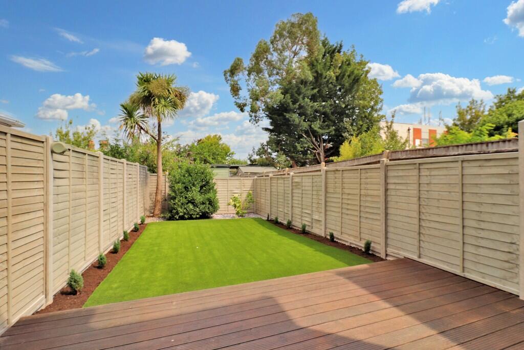

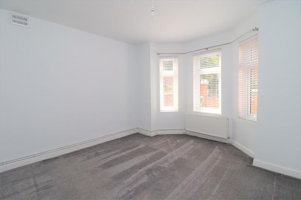
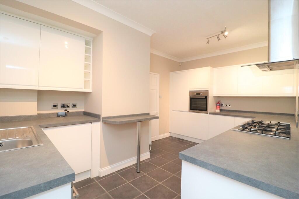
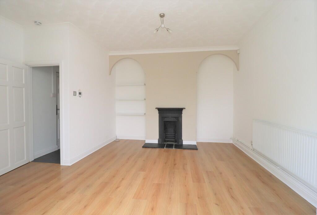
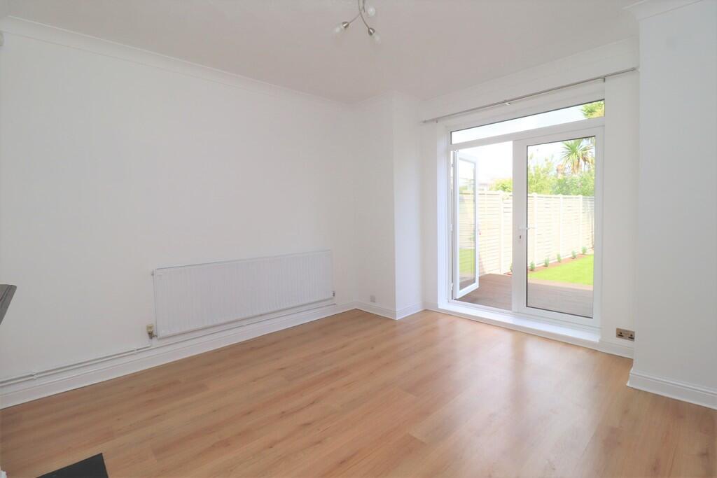
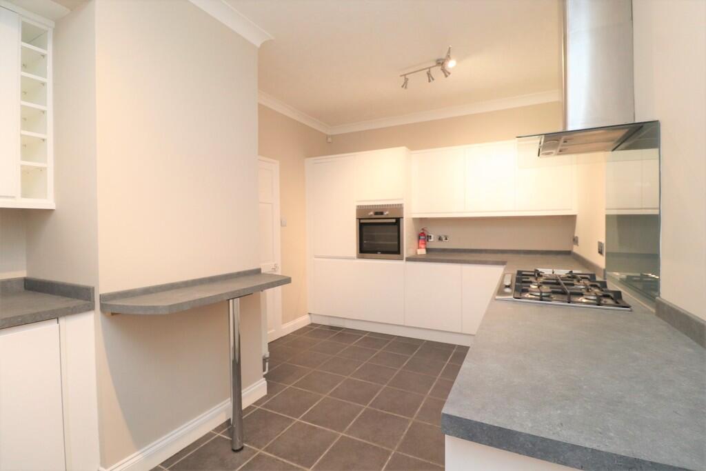
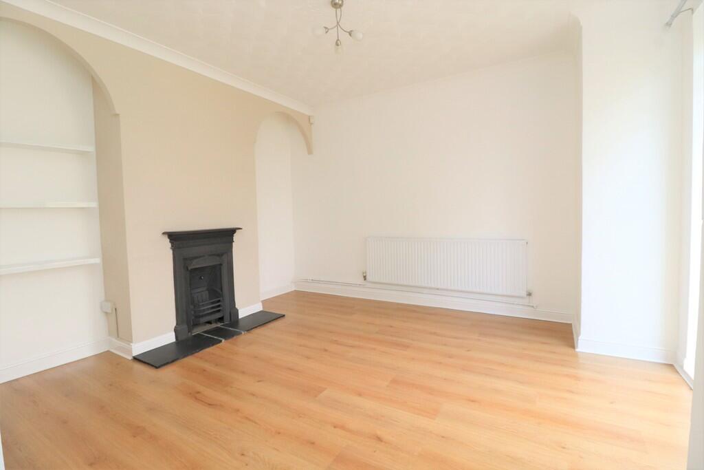
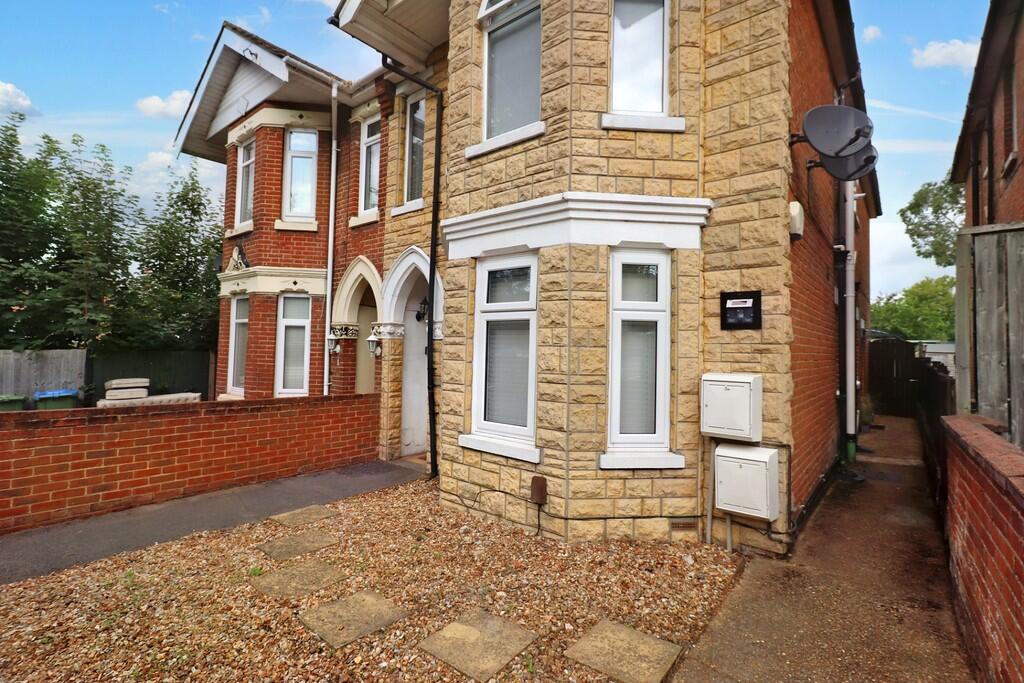
Photo 1 Photo 2 Photo 3 Photo 4 Photo 5 Photo 6 Photo 7 Photo 8 Photo 9
/ 9
Property details
Floor area
54 m²
Council tax band
A
Deprivation
Decile 2 (5,059 of 33,755)
Street crime
356 incidents within 1 mile (Mar 2026)
Key features
- SPACIOUS ONE BED
- PRIVATE GARDEN
- MODERN DECOR
- BAY WINDOW
- SIDE ACCESS
- COUNCIL TAX BAND A
- EPC RATING C
Additional details
- Garden
- Yes
Description
To the rear, the property features a rather private garden with a decked seating area which offers ample room for outdoor furniture. There is a fence lined border with side gate.
Listed by
Eastleigh
White & Guard (Fair Oak) Limited
Reference: 158406899
EPC Rating & Upgrade Cost
Fetching EPC data… Refresh this page in a moment.
Flood risk
Zone: 1
Risk: Low
Job (default Low)
FENSA Certificates
This property has 1 FENSA certificate(s) on record, indicating window/door installations by FENSA-approved installers.
FENSA Certificate #13180181
Property Details
Street: 3 Radstock Road
Town: SOUTHAMPTON
Postcode: SO19 2HN
Installation Details
Items: 3 windows
Certificate Issued: 15/10/2018
Work Completed: 04/09/2018
This certificate data was retrieved from FENSA's database
What is FENSA? FENSA (Fenestration Self-Assessment Scheme) is a government-authorised scheme that monitors building regulation compliance for replacement windows and doors. Certificates indicate that work was completed by FENSA-approved installers.
Rental Range
Estimated market rent for Southampton. Low = conservative, Realistic = average, Optimistic = best case.
Based on Local Authority from postcode lookup → Southampton.
LHA (30th percentile) floor for Southampton: £698/mo (Apr 2025 – Mar 2026)
Location
Nearby
Nearest stations, universities and amenities (distance from property).
| Type | Name | Distance |
|---|---|---|
| Bus stop | The Drummond | 0.0 miles |
| Shop | Intruder Alert Systems Ltd | 0.1 miles |
| Shop | Bill's Bait & Tackle | 0.1 miles |
| Train station | Woolston | 0.1 miles |
| Train station | Sholing | 0.6 miles |
| University | Warsash Maritime Acadmeny | 0.8 miles |
| University | Waterfront Campus | 1.0 miles |
| Hospital | Royal South Hants Urgent Treatment Centre | 1.3 miles |
| Hospital | Royal South Hants Hospital | 1.3 miles |
Street-level crime
| Category | Count |
|---|---|
| Violence and sexual offences | 136 |
| Shoplifting | 62 |
| Anti-social behaviour | 35 |
| Public order | 26 |
| Criminal damage and arson | 20 |
| Vehicle crime | 19 |
| Other theft | 16 |
| Drugs | 14 |
| Burglary | 13 |
| Bicycle theft | 4 |
| Other crime | 4 |
| Robbery | 4 |
| Theft from the person | 2 |
| Possession of weapons | 1 |
| Total incidents | 356 |
Within 1 mile during Mar 2026. Source: data.police.uk (England & Wales).
Schools nearby
Nearest open schools with Ofsted ratings (England). Closed schools are not shown. Data from Get Information about Schools and Ofsted.
| Name | Type | Distance | Ofsted |
|---|---|---|---|
| St Patrick's Catholic Primary School | Primary | 0.2 miles | Good — 20 Jul 2015 |
| Ludlow Infant Academy | Primary | 0.2 miles | Good — 7 Nov 2018 |
| Ludlow Junior School | Primary | 0.3 miles | Good — 1 Feb 2012 |
| Woolston Infant School | Primary | 0.3 miles | Good — 18 Dec 2014 |
| Oasis Academy Sholing | Secondary | 0.8 miles | Requires improvement — 1 Dec 2022 |
Rental Comparables
Rental listings exist nearby, but none matched the 1-bedroom estimate from EPC for this property.