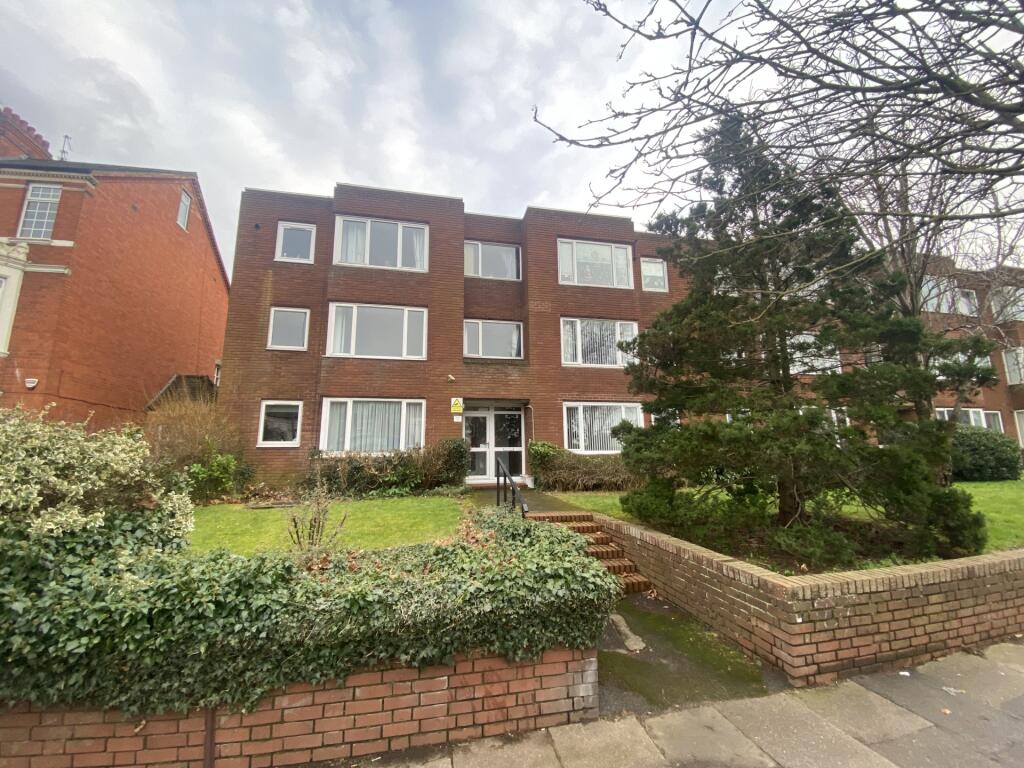
St. Matthews Parade
Kingsley, NN2 7JW
£900 pcm
Property details
Council tax band
B
Deprivation
Decile 3 (8,768 of 33,755)
Street crime
468 incidents within 1 mile (Apr 2026)
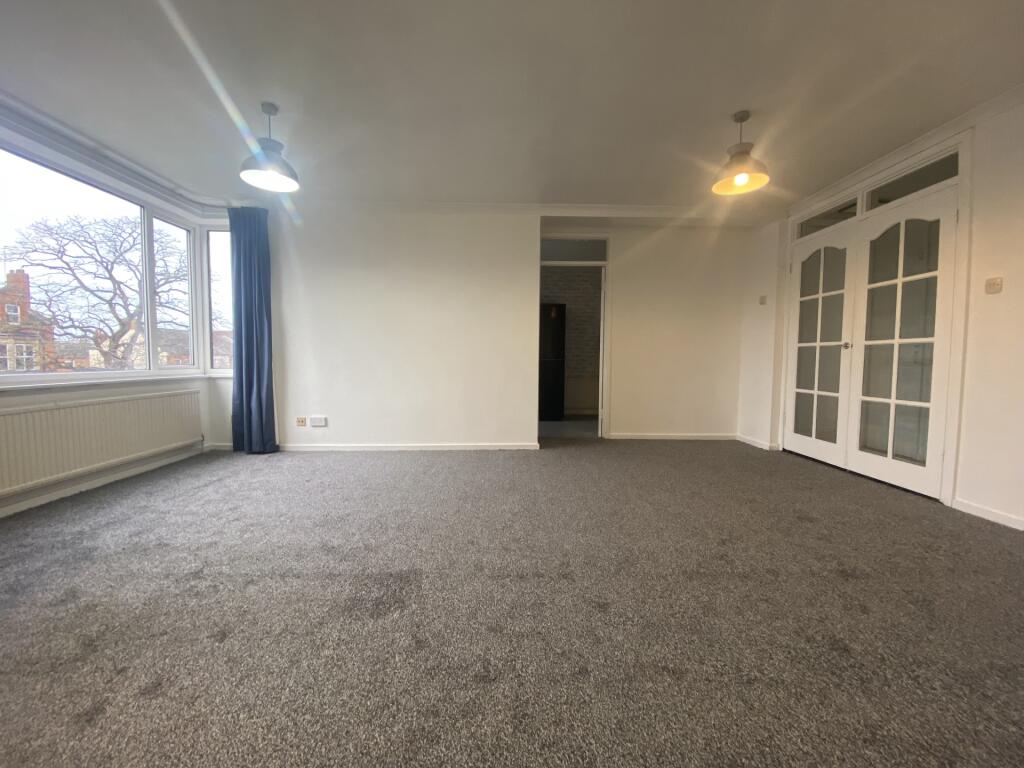
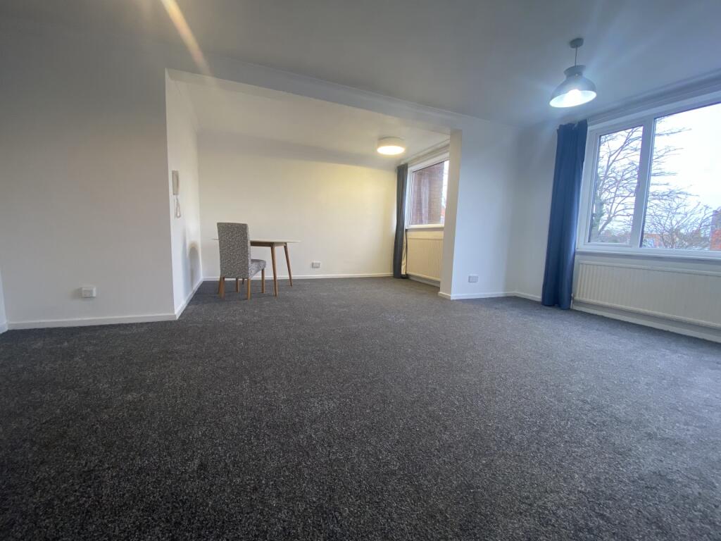
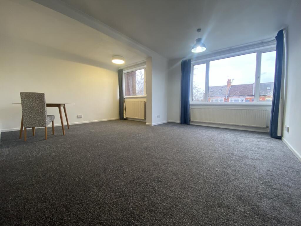
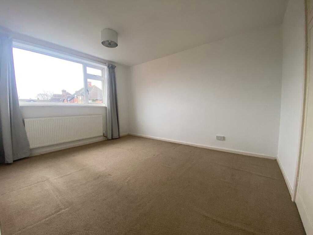
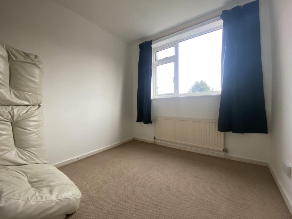
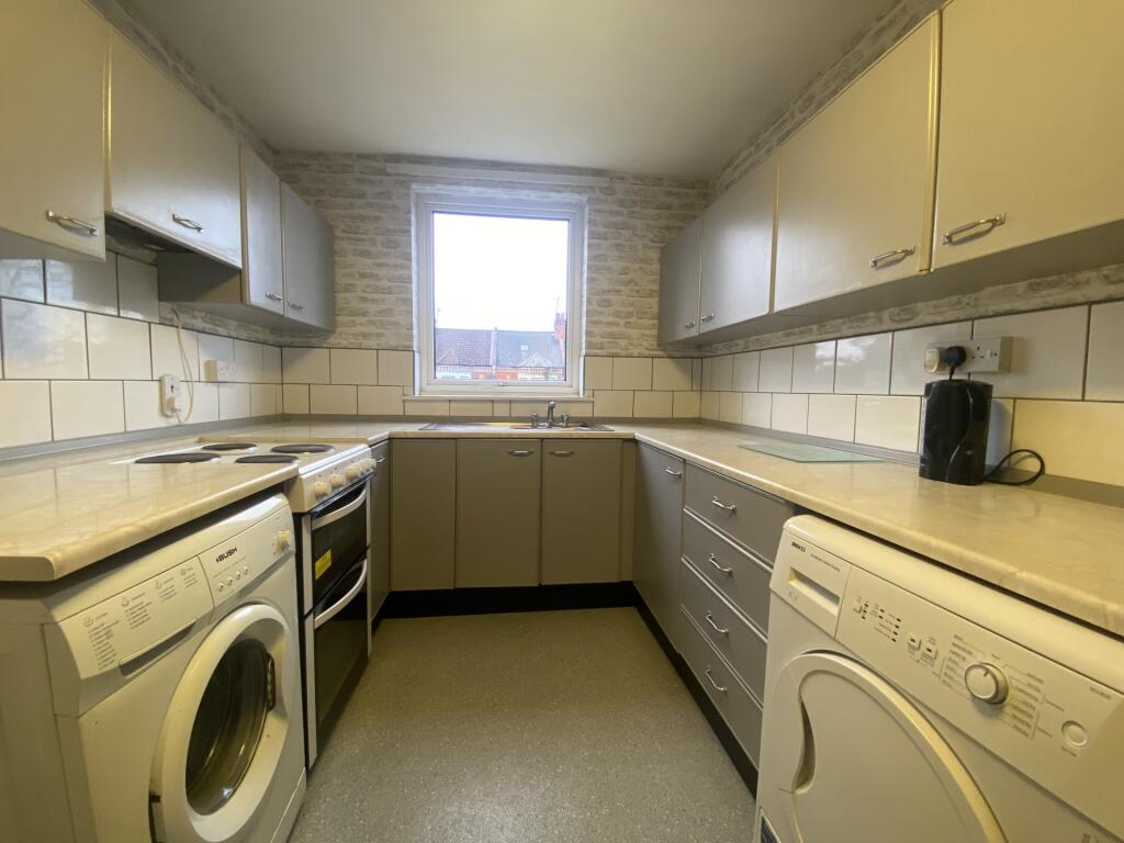
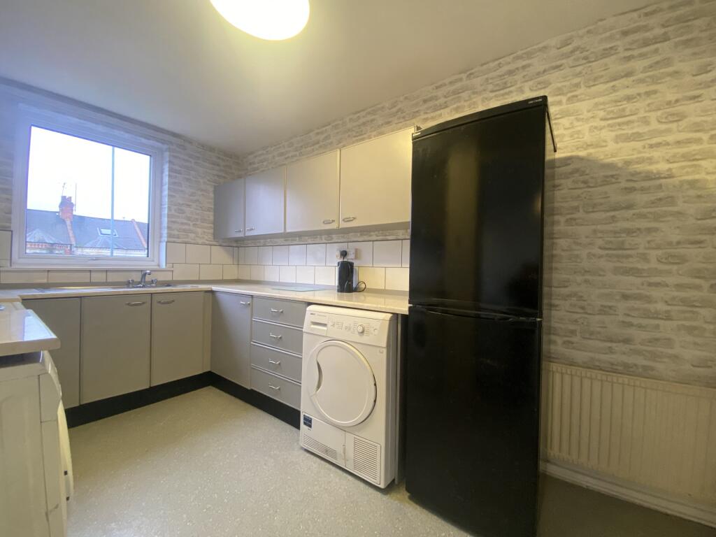
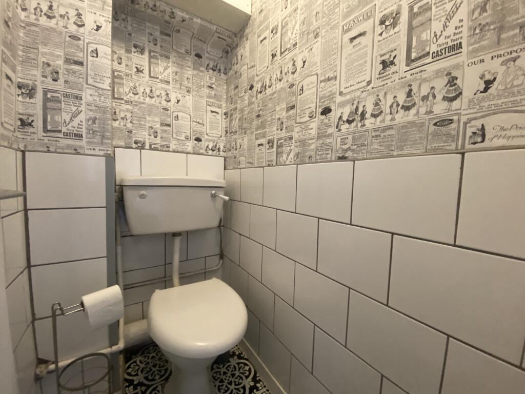
Key features
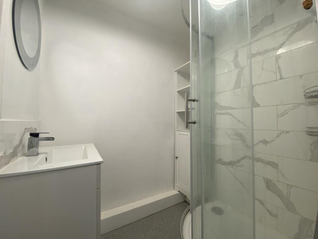
- First Floor Apartment
- Spacious Lounge/Diner
- Two Bedrooms
- Modern Fitted Kitchen
- Close to Local Amenities
Additional details
- Electricity
- Mains supply
- Water
- Mains supply
- Sewerage
- Mains supply
- Heating
- Central, Gas central
- Parking
- Yes
- Flooded in last 5 years
- No
Description
MATERIAL INFORMATIONType - ApartmentAge/Era - Ask AgentDeposit - £1,038.46Council Tax - Band BEPC Rating - DElectricity Supply - MainsGas Supply - No GasWater Supply - MainsSewerage Supply - MainsBroadband Supply - Ask AgentMobile Coverage - Depends on providerHeating - Central Heating, Gas Central HeatingParking - Ask AgentEV Charging - Ask AgentAccessibility - Ask AgentCoastal Erosion Risk - Ask AgentFlood Risks - Has not flooded in the last 5 yearsMining Risks - Ask AgentRestrictions - Ask AgentObligations - Ask AgentRights and Easements - Ask Agent
Listed by
Northampton
Jackson Grundy Estate Agents
Reference: 165891317
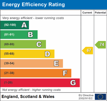
EPC Rating & Upgrade Cost
Fetching EPC data… Refresh this page in a moment.
Flood risk
Zone: 1
Risk: Low
Job (default Low)
Floorplans
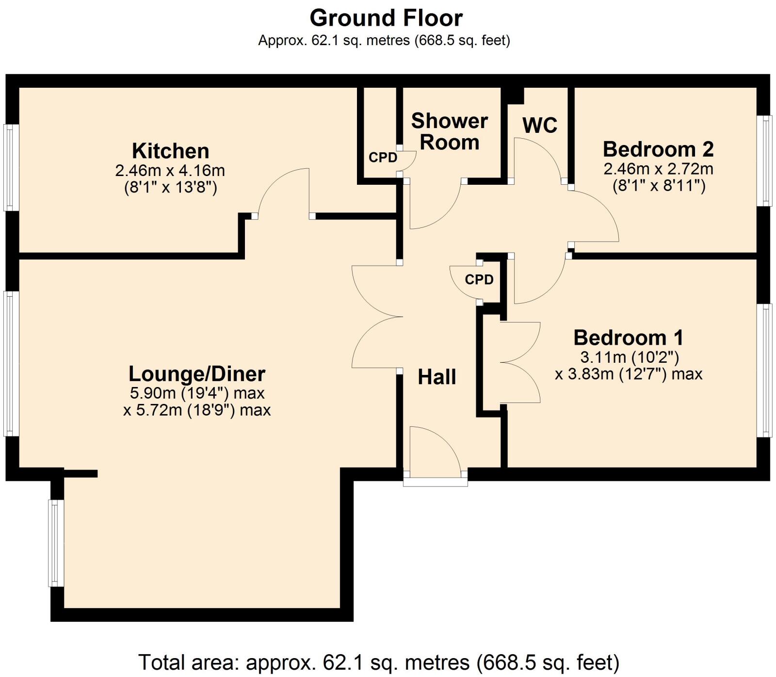
Floor Plan 1
EPC Graphs
EPC
Rental Range
Estimated market rent for West Northamptonshire. Low = conservative, Realistic = average, Optimistic = best case.
Based on Local Authority from postcode lookup → West Northamptonshire.
LHA (30th percentile) floor for Leicester: £648/mo (Apr 2025 – Mar 2026)
Location
Address
76 Kettering Road
Nearby
Nearest stations, universities and amenities (distance from property).
| Type | Name | Distance |
|---|---|---|
| Shop | Capital | 0.0 miles |
| Shop | GoGo Hair | 0.0 miles |
| Bus stop | Unknown | 0.0 miles |
| Hospital | St Matthews Hospital | 0.1 miles |
| University | University of Northampton St Georges Avenue | 0.6 miles |
| Hospital | Manfield Health Campus | 1.0 miles |
| University | University of Northampton - School of Podiatry | 1.2 miles |
| Train station | Northampton | 1.7 miles |
| Train station | Boughton | 2.7 miles |
Street-level crime
| Category | Count |
|---|---|
| Violence and sexual offences | 166 |
| Anti-social behaviour | 129 |
| Public order | 29 |
| Other theft | 24 |
| Drugs | 23 |
| Criminal damage and arson | 22 |
| Vehicle crime | 22 |
| Burglary | 19 |
| Robbery | 11 |
| Shoplifting | 9 |
| Possession of weapons | 7 |
| Other crime | 3 |
| Bicycle theft | 2 |
| Theft from the person | 2 |
| Total incidents | 468 |
Within 1 mile during Apr 2026. Source: data.police.uk (England & Wales).
Schools nearby
Nearest open schools with Ofsted ratings (England). Closed schools are not shown. Data from Get Information about Schools and Ofsted.
| Name | Type | Distance | Ofsted |
|---|---|---|---|
| Wallace Road Nursery School | Nursery | 0.3 miles | Good — 24 Jul 2022 |
| Kingsley Primary School | Primary | 0.3 miles | Good — 24 Jul 2023 |
| Cedar Road Primary School | Primary | 0.4 miles | Good — 3 Jul 2023 |
| Fairfields School | Other | 0.5 miles | Outstanding — 20 Mar 2014 |
| Stimpson Avenue Academy | Primary | 0.5 miles | Good — 19 Sep 2023 |
Rental Comparables
Loading rental comparables for this postcode. Refresh in a few minutes.