9 BLANDFORD ROAD
TEDDINGTON, GREATER LONDON TW11 0LF
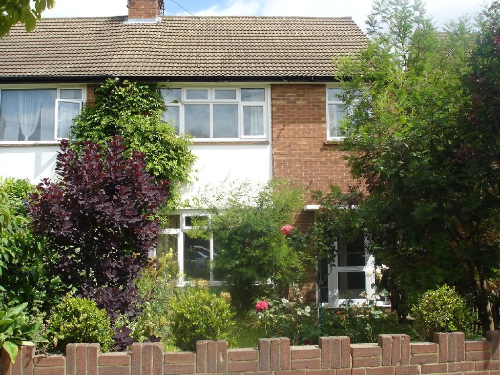
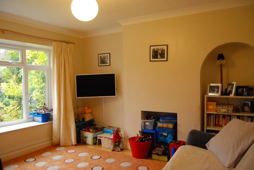
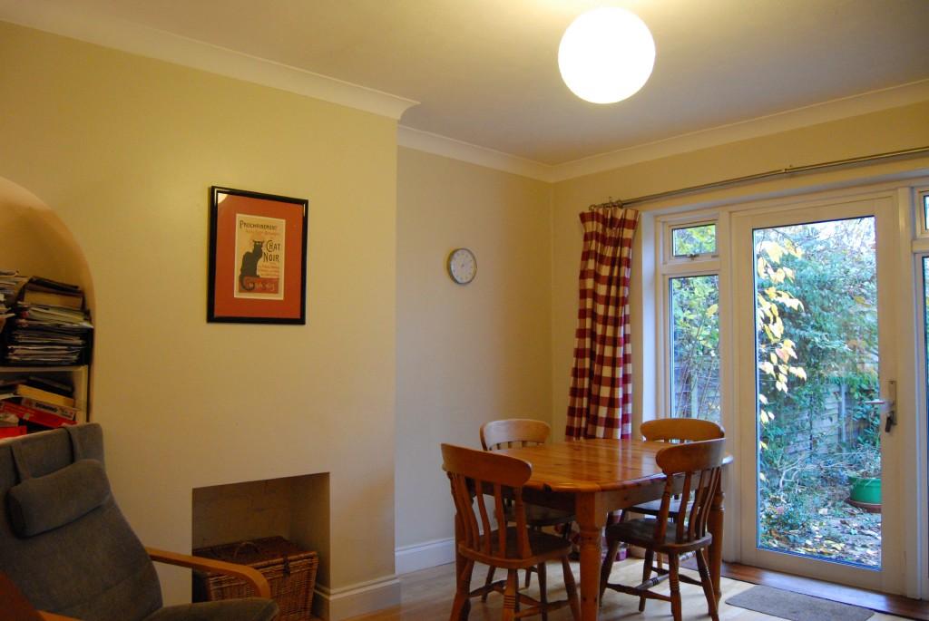
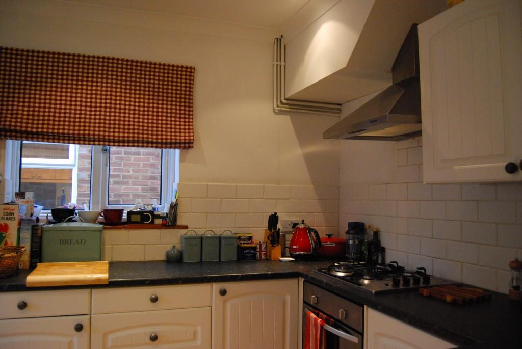
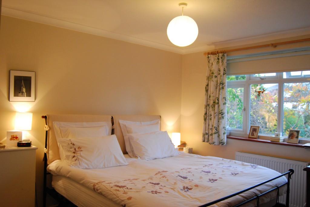
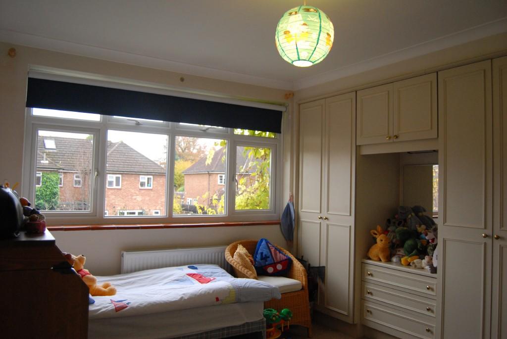
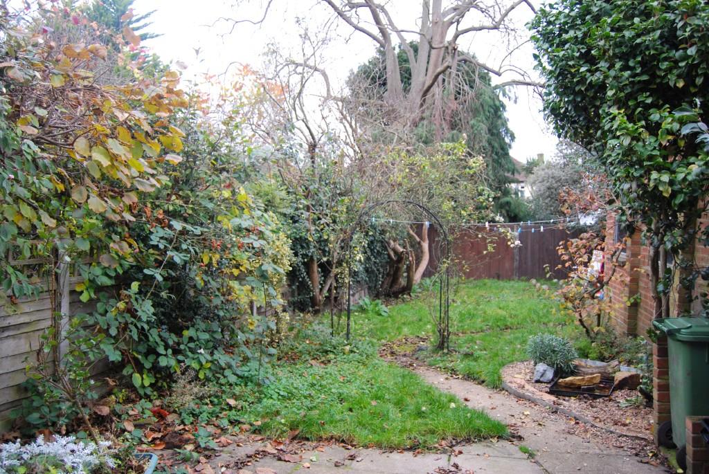
Photo 1 Photo 2 Photo 3 Photo 4 Photo 5 Photo 6 Photo 7
/ 7
Property details
Floor area
101 m²
EPC rating
D
Year built
England and Wales: 1950-1966
Deprivation
Decile 9 (29,186 of 33,755)
Street crime
146 incidents within 1 mile (Apr 2026)
Key features
- Semi detached house
- Three bedrooms
- Good decorative order
- Close to Teddington and Hampton Hill
- Garage
- Two reception rooms
- Fitted kitchen
- Downstairs cloakroom
- Available immediately
- Unfurnished
Additional details
- Parking
- Yes
- Garden
- Yes
Description
Listed by
Hampton Hill
Tiffin Estate Agents
Reference: 36574831
EPC Rating & Upgrade Cost
Current rating: D
Potential rating: B
Inspection date: 09/01/2023
Current heating cost: £647/year
Potential heating cost: £421/year
Est. upgrade cost to C: £24,725
Recommendations
- Increase loft insulation to 270 mm (£100 - £350)
- Cavity wall insulation (£500 - £1,500)
- 50 mm internal or external wall insulation (£4,000 - £14,000)
- Floor insulation (solid floor) (£4,000 - £6,000)
- Solar water heating (£4,000 - £6,000)
- Solar photovoltaic panels, 2.5 kWp (£3,500 - £5,500)
Flood risk
Zone: 1
Risk: Low
Job (default Low)
Rental Range
Estimated market rent for Richmond upon Thames. Low = conservative, Realistic = average, Optimistic = best case.
Based on Local Authority from postcode lookup → Richmond upon Thames.
LHA (30th percentile) floor for South West Herts: £1,496/mo (Apr 2025 – Mar 2026)
Location
Nearby
Nearest stations, universities and amenities (distance from property).
| Type | Name | Distance |
|---|---|---|
| Bus stop | National Physical Laboratory | 0.1 miles |
| Bus stop | Oxford Road | 0.1 miles |
| Shop | Cakes By Trudi | 0.3 miles |
| Shop | Knitt | 0.3 miles |
| Train station | Fulwell | 0.5 miles |
| Train station | Teddington | 0.6 miles |
| Hospital | Hounslow Medical Centre | 3.2 miles |
| University | Richmond American University London | 5.6 miles |
| University | University of West London | 6.1 miles |
| Hospital | Cobham Day Surgery | 6.9 miles |
Street-level crime
| Category | Count |
|---|---|
| Violence and sexual offences | 32 |
| Anti-social behaviour | 31 |
| Vehicle crime | 22 |
| Shoplifting | 20 |
| Criminal damage and arson | 10 |
| Other theft | 8 |
| Public order | 7 |
| Burglary | 4 |
| Bicycle theft | 3 |
| Theft from the person | 3 |
| Drugs | 2 |
| Other crime | 2 |
| Robbery | 2 |
| Total incidents | 146 |
Within 1 mile during Apr 2026. Source: data.police.uk (England & Wales).
Schools nearby
Nearest open schools with Ofsted ratings (England). Closed schools are not shown. Data from Get Information about Schools and Ofsted.
| Name | Type | Distance | Ofsted |
|---|---|---|---|
| St Mary's and St Peter's Church of England Primary School | Primary | 0.4 miles | Outstanding — 10 Feb 2023 |
| Stanley Primary School | Primary | 0.5 miles | Good — 22 Apr 2019 |
| Hampton Hill Junior School | Primary | 0.6 miles | Good — 21 Nov 2023 |
| Newland House School | Other | 0.7 miles | — (No rating) |
| St James's Roman Catholic Primary School | Primary | 0.7 miles | — (Inspected (no overall grade)) |
Rental Comparables
Rental listings exist nearby, but none matched the 3-bedroom count for this property.