Hunsterson Road
Nantwich, CW5 7RA
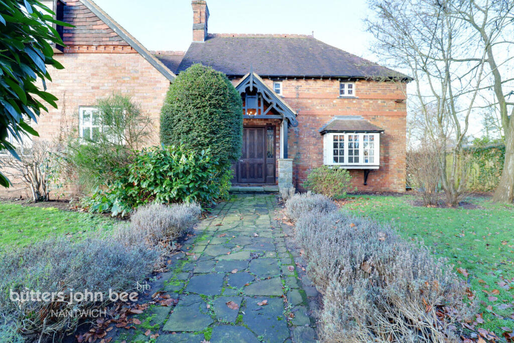
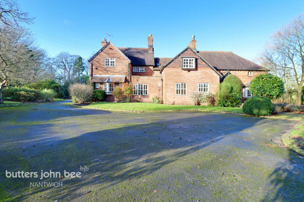
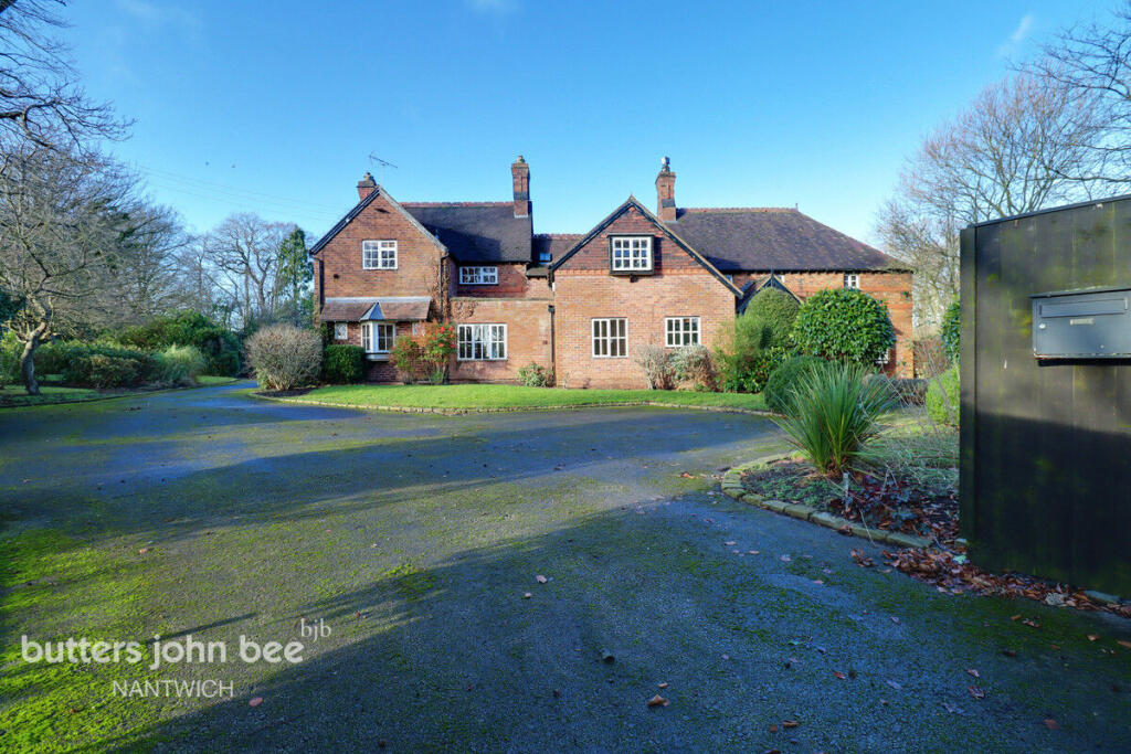
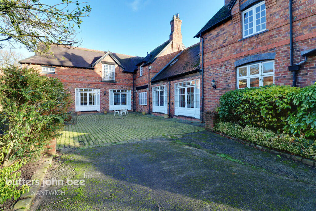
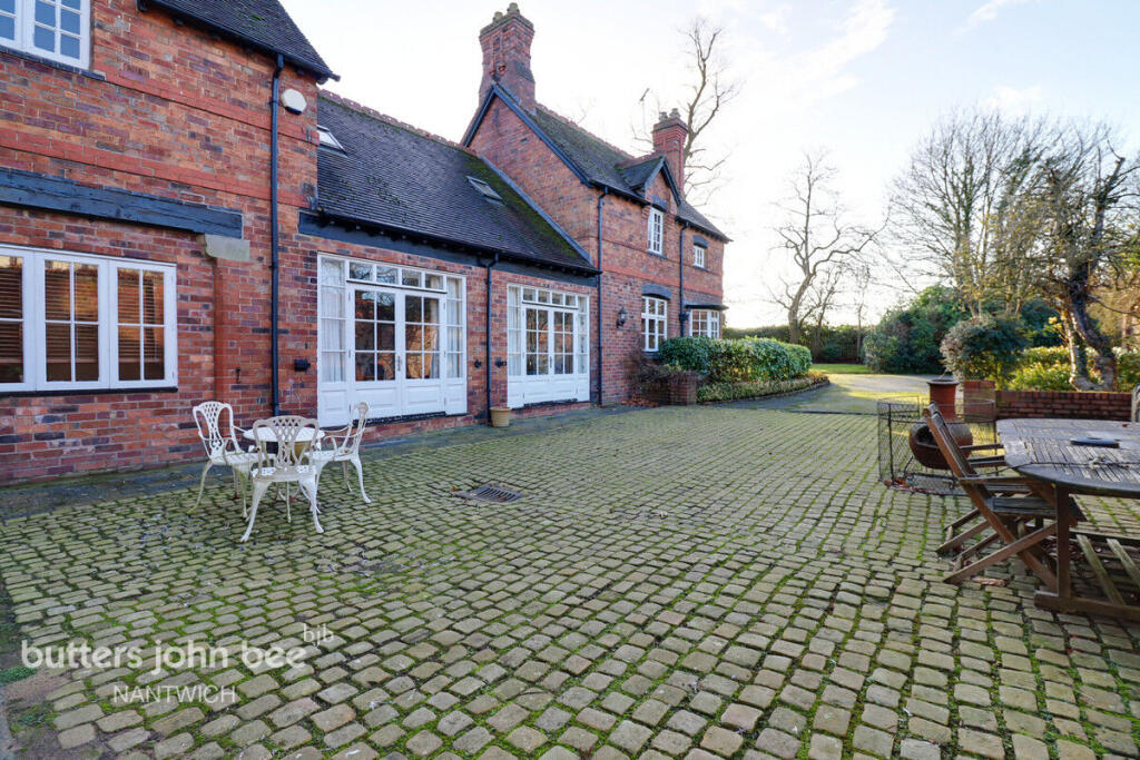
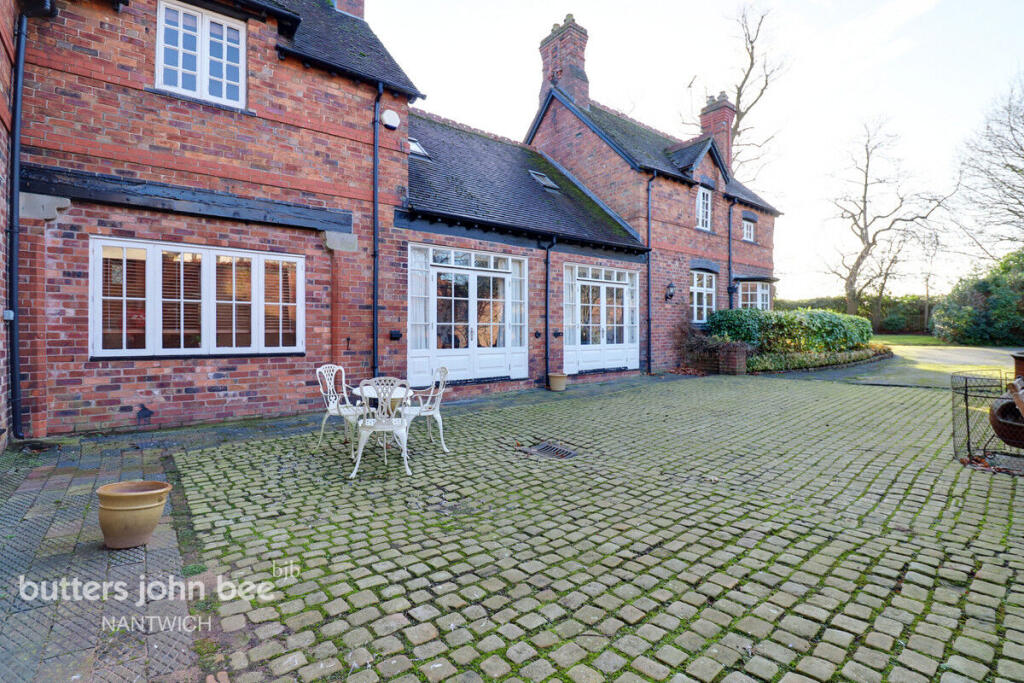
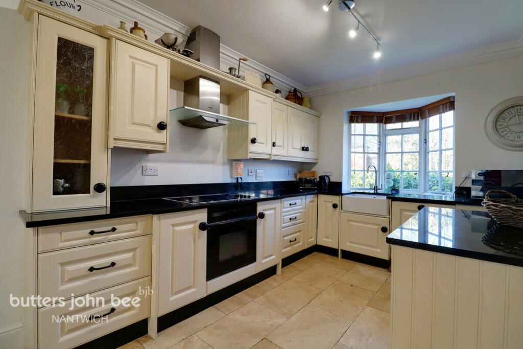
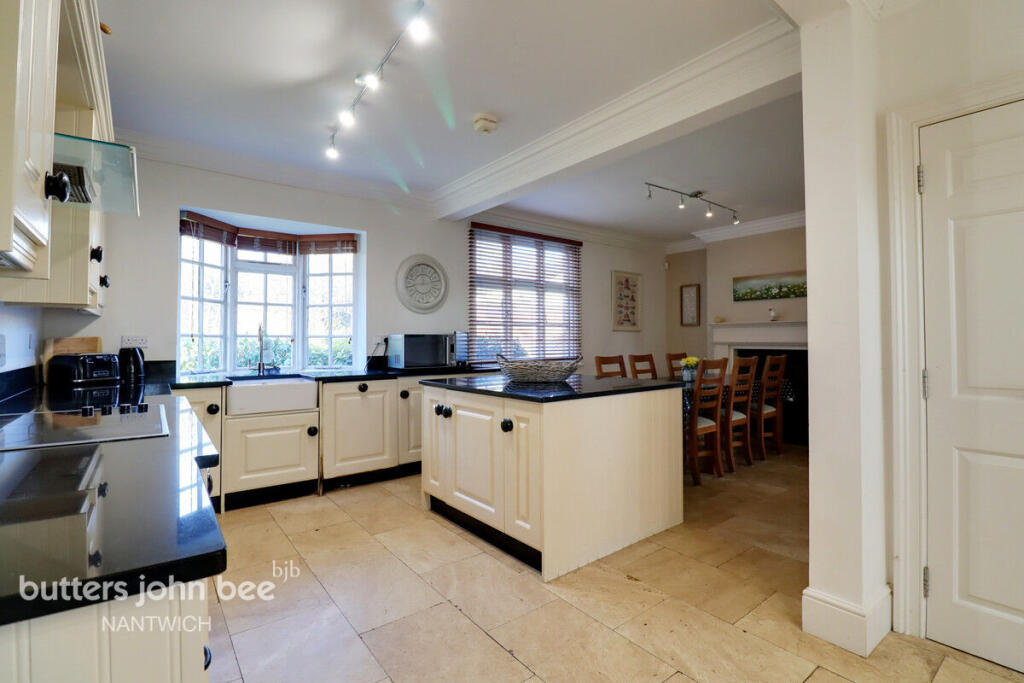
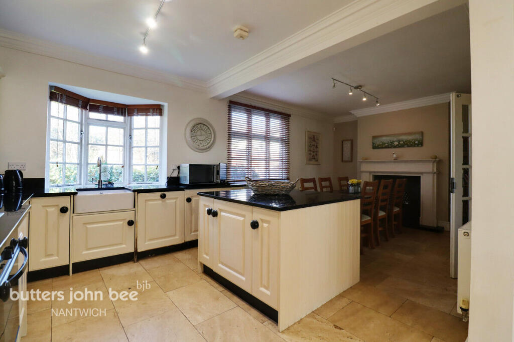
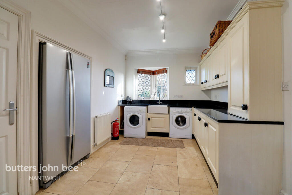
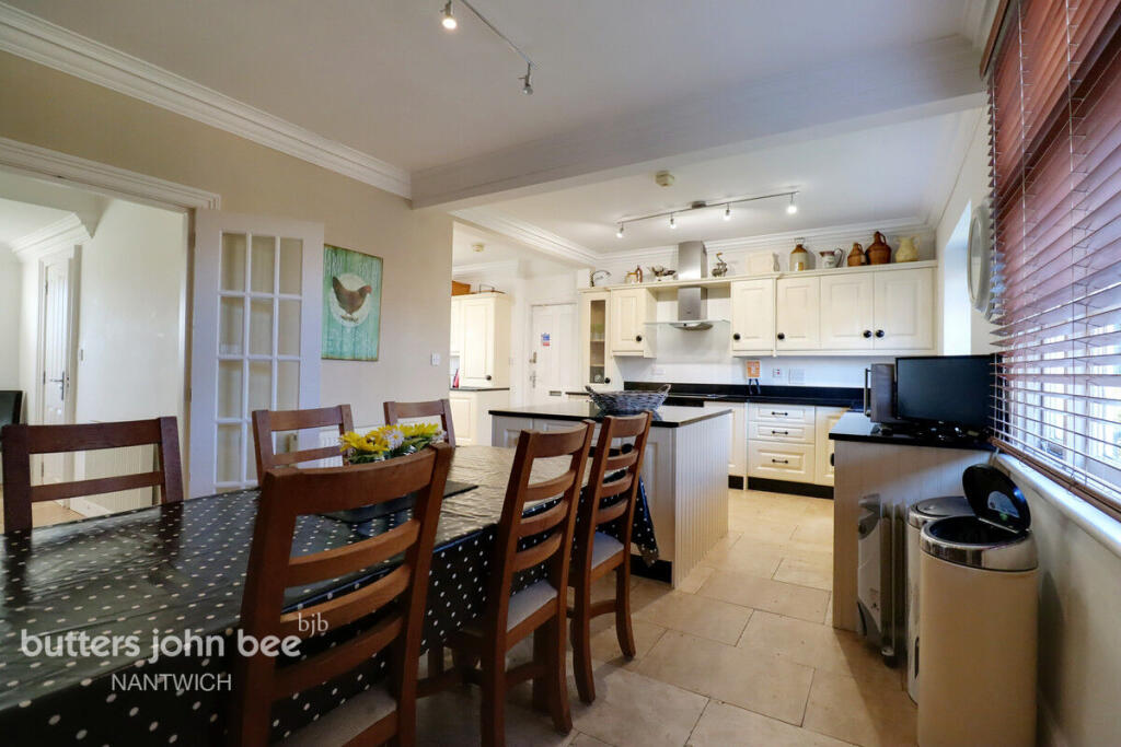
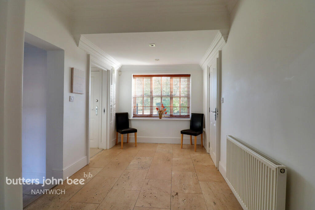
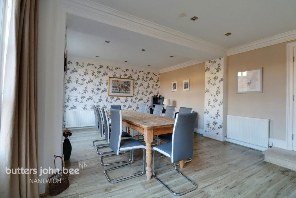
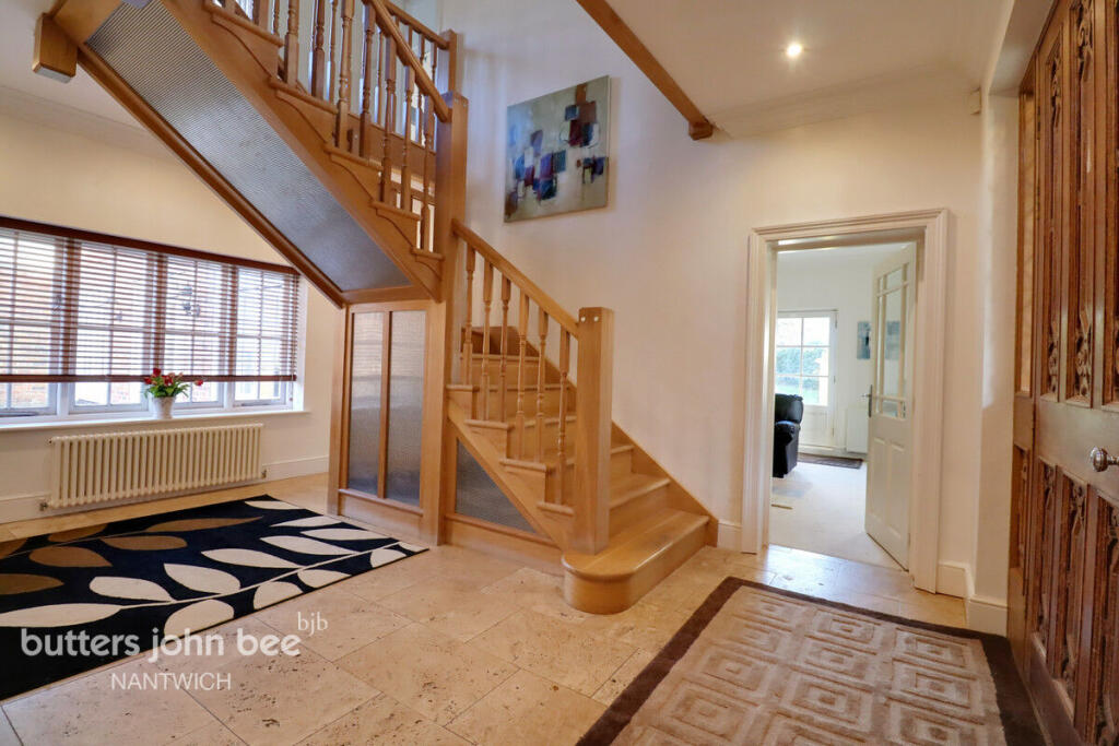
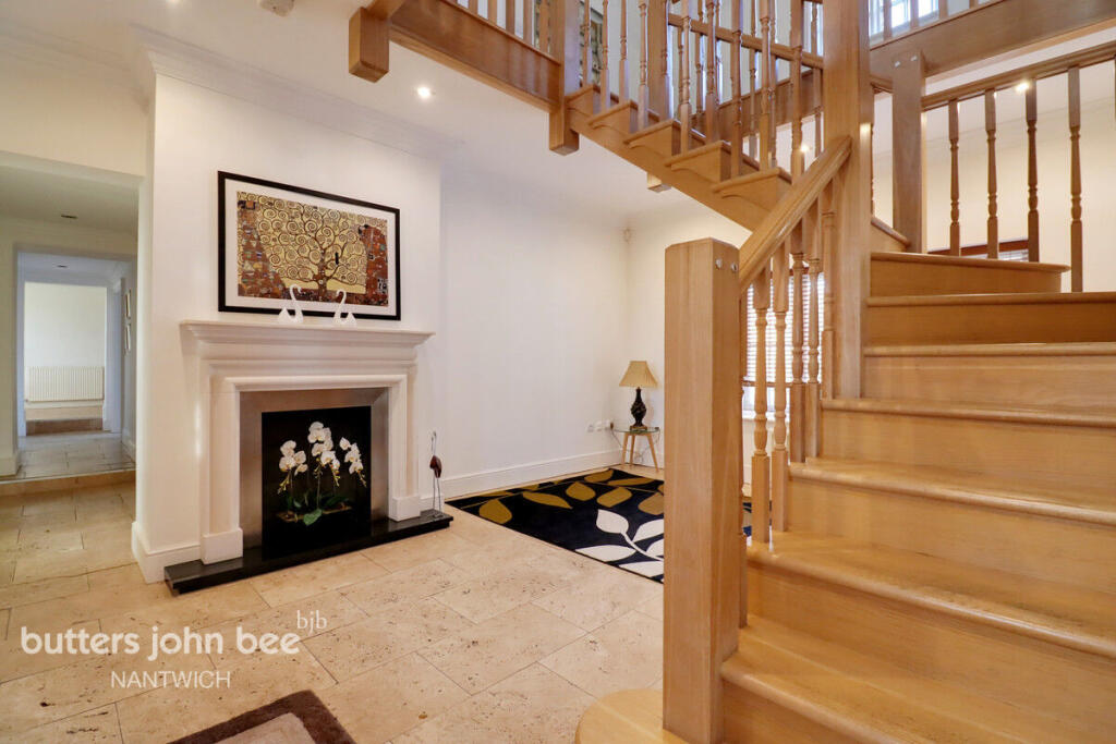
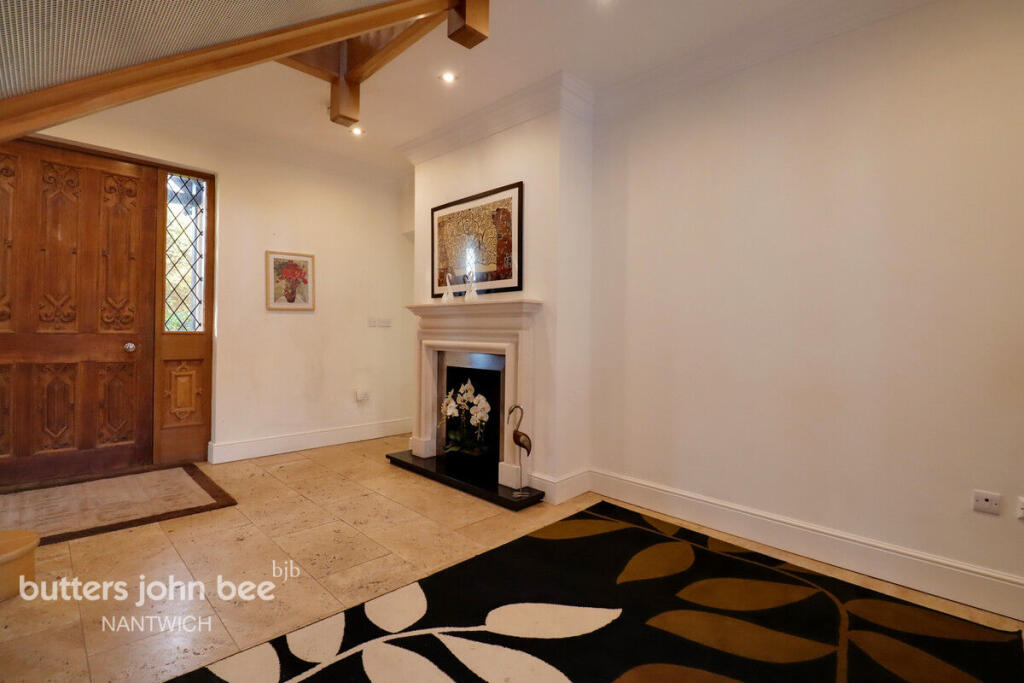
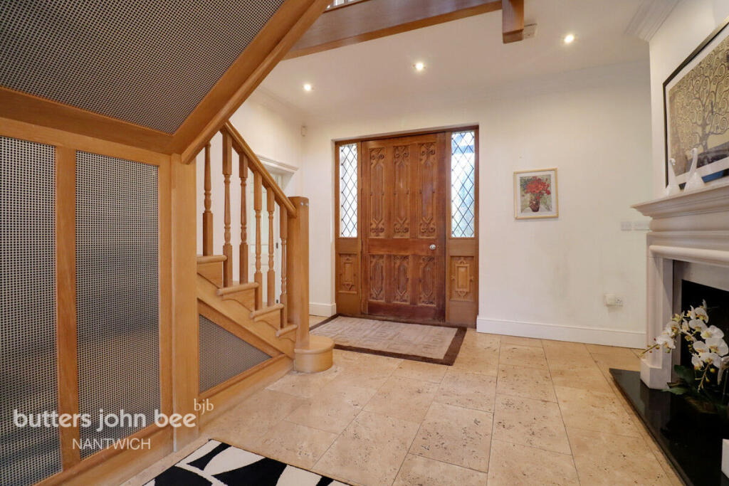
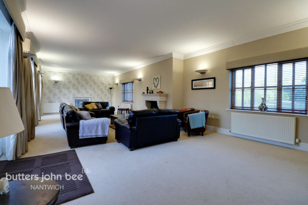
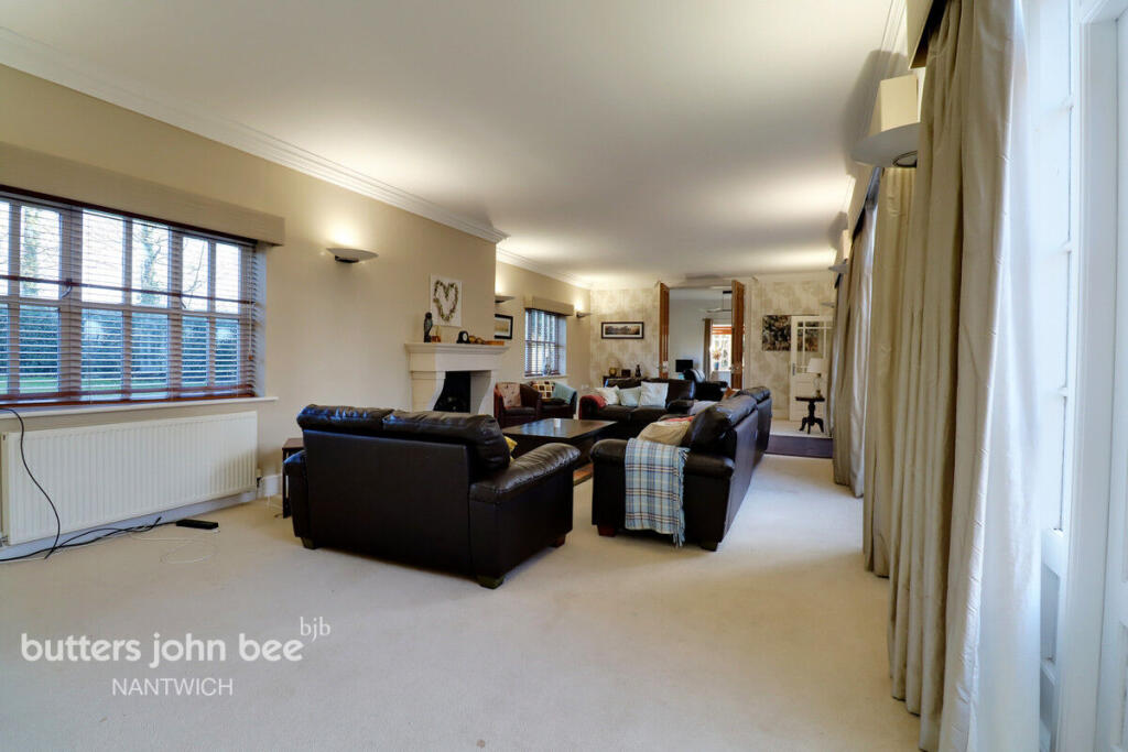
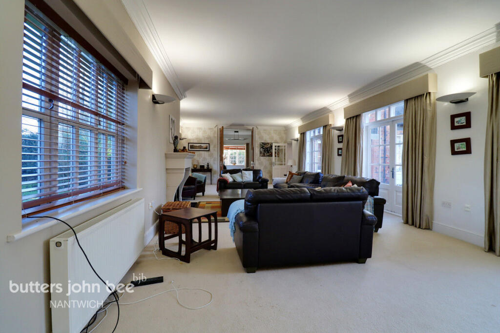

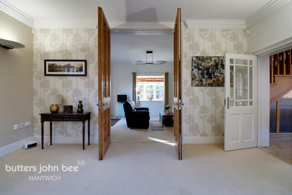
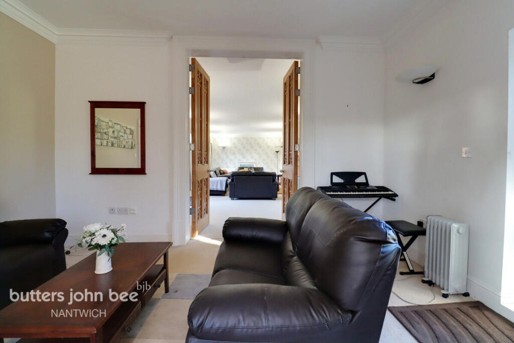
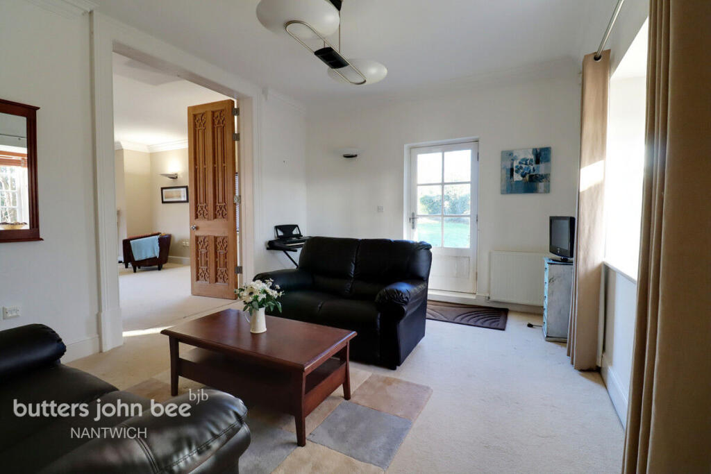
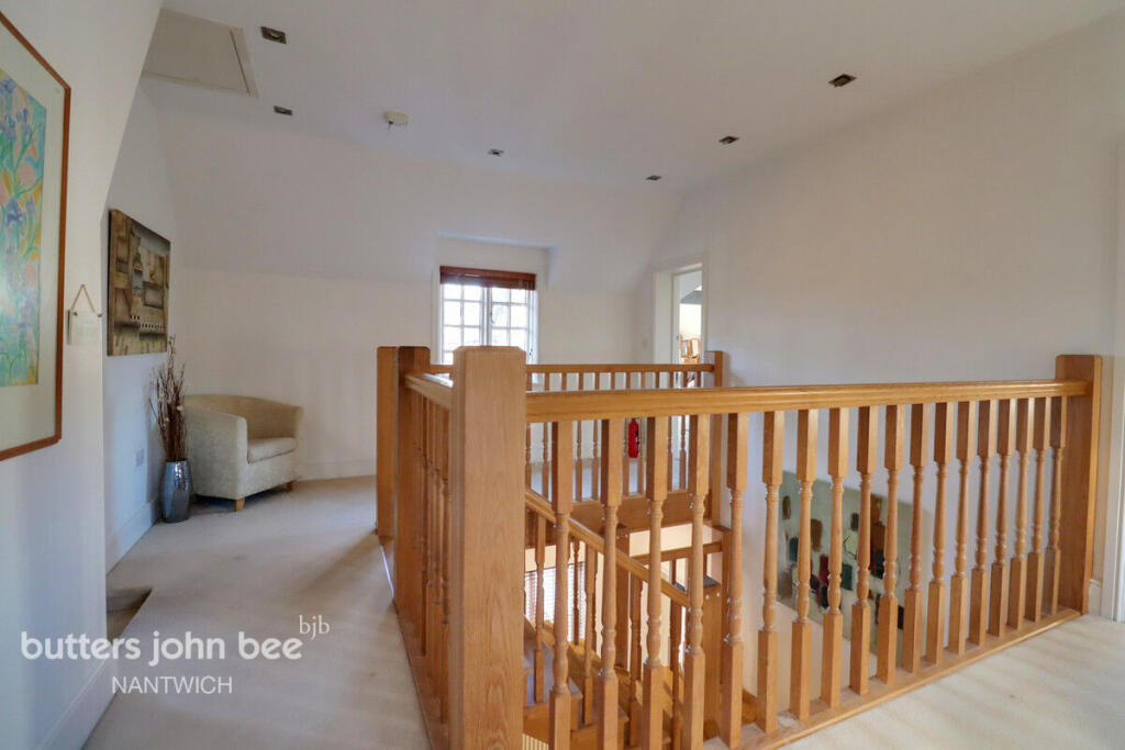
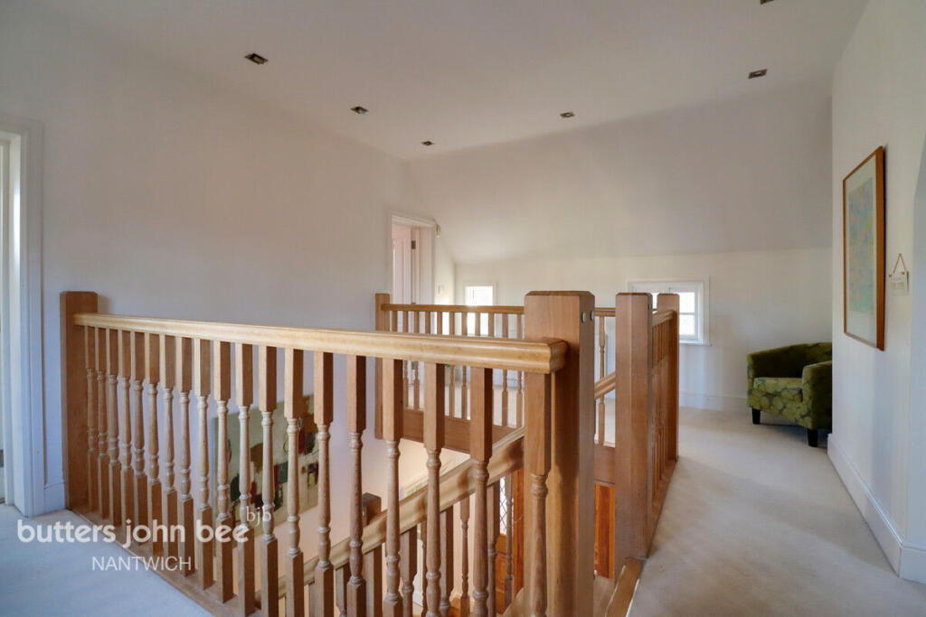
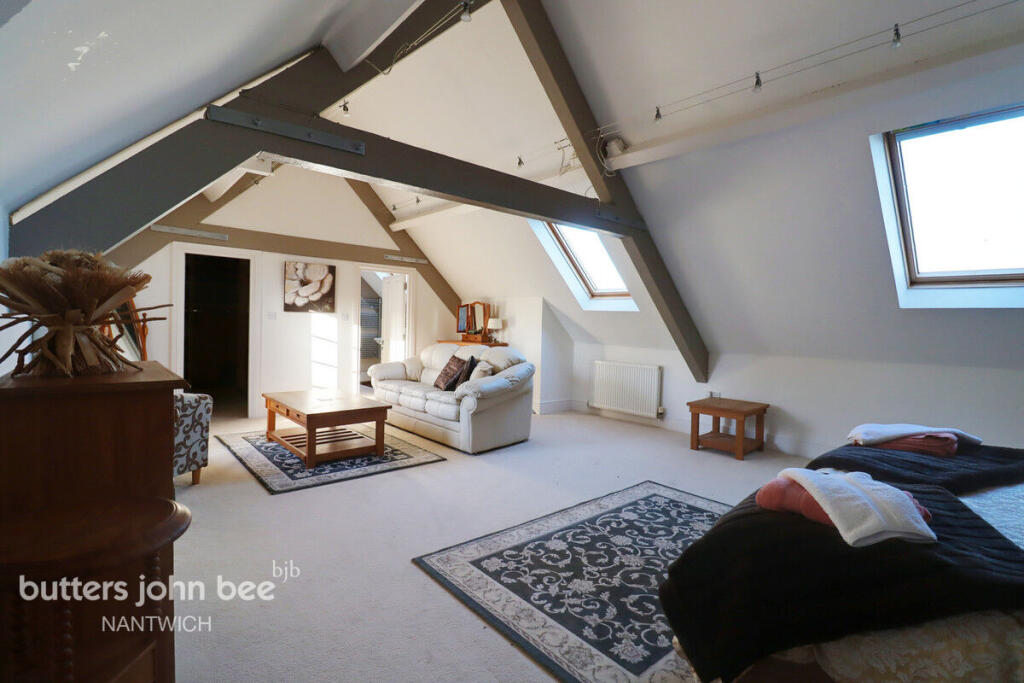
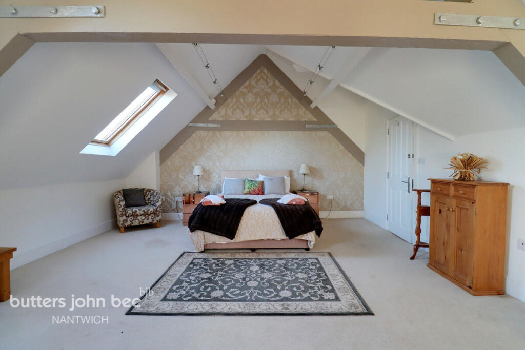
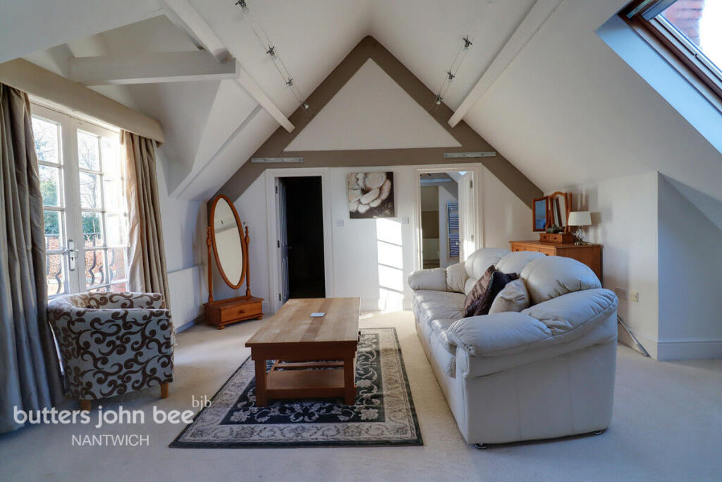
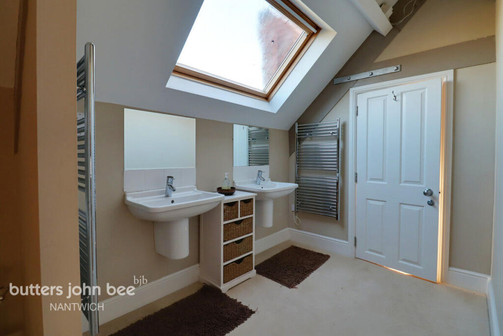
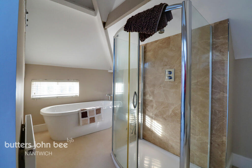
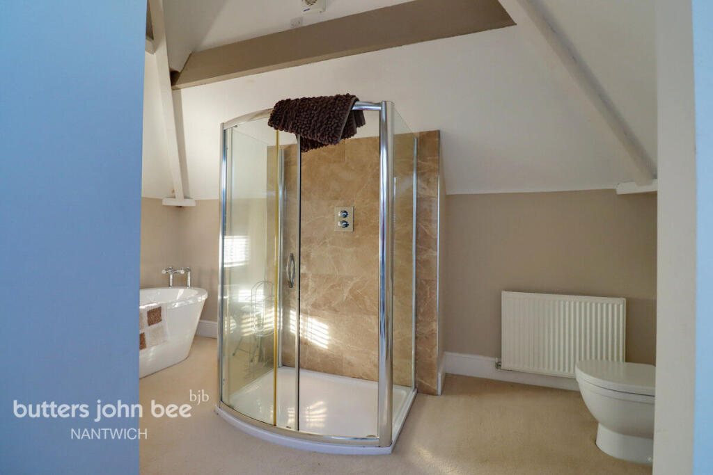
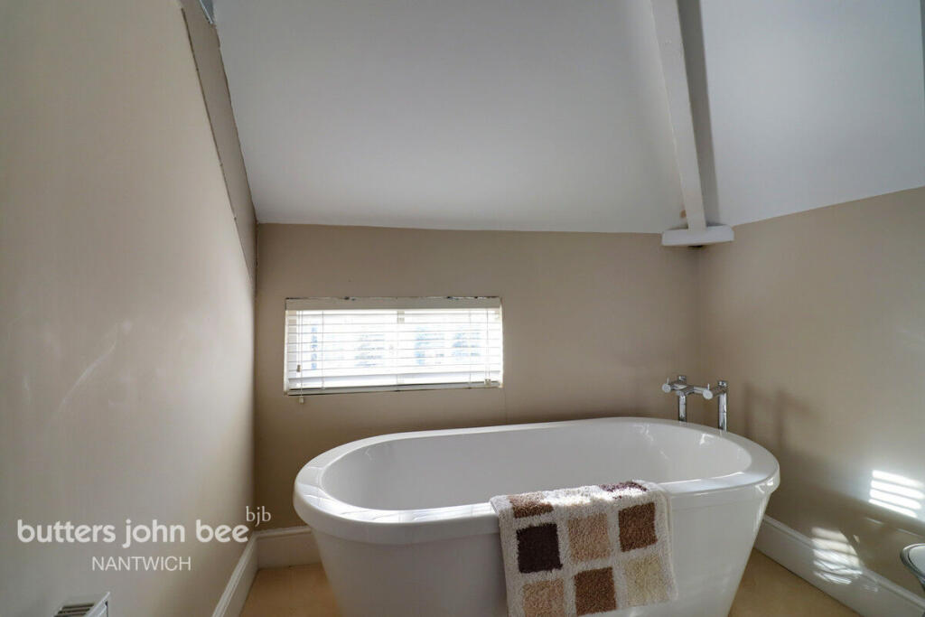
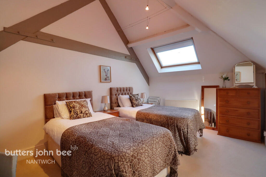
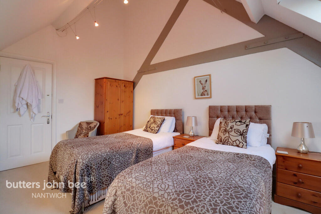
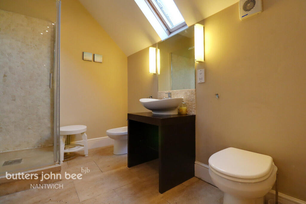
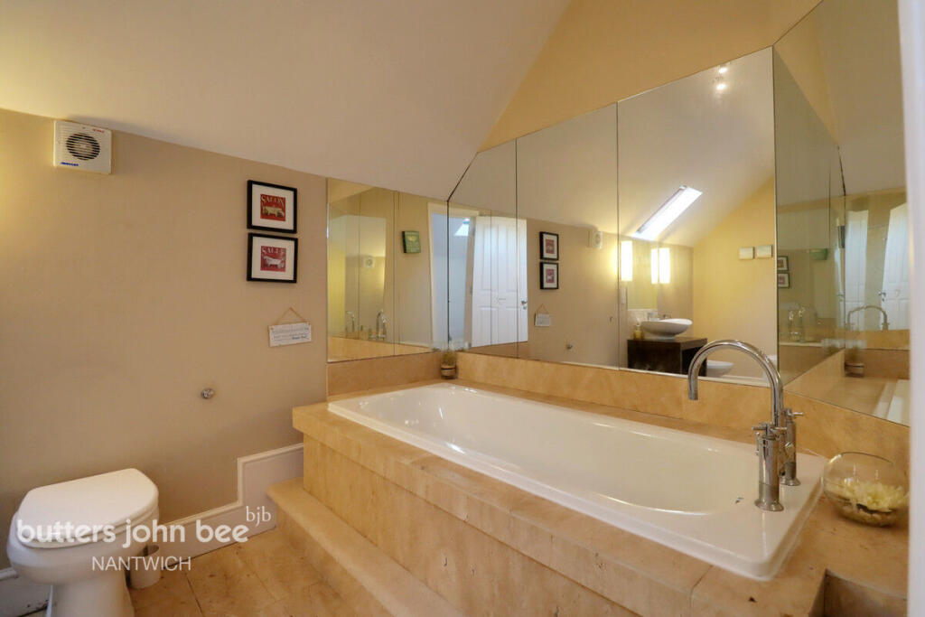
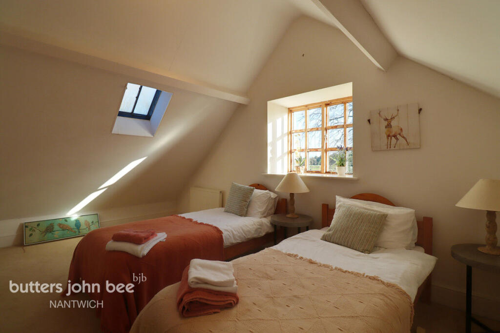
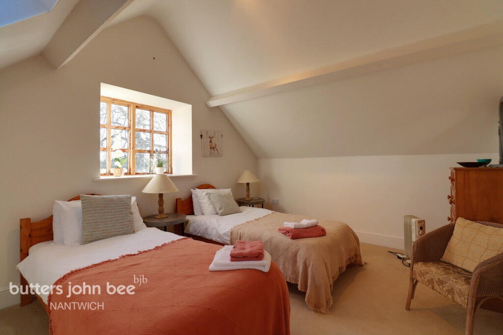
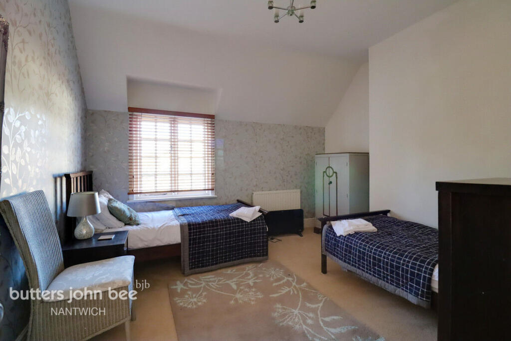
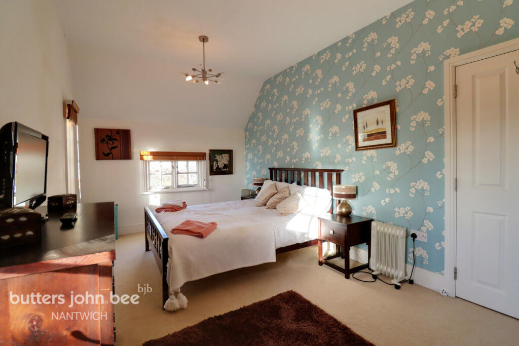
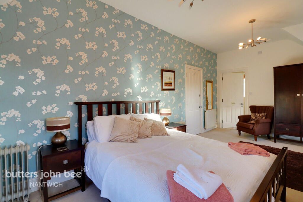
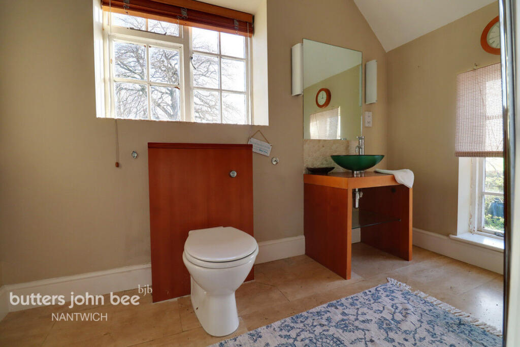
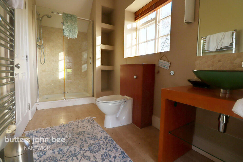
Photo 1 Photo 2 Photo 3 Photo 4 Photo 5 Photo 6 Photo 7 Photo 8 Photo 9 Photo 10 Photo 11 Photo 12 Photo 13 Photo 14 Photo 15 Photo 16 Photo 17 Photo 18 Photo 19 Photo 20 Photo 21 Photo 22 Photo 23 Photo 24 Photo 25 Photo 26 Photo 27 Photo 28 Photo 29 Photo 30 Photo 31 Photo 32 Photo 33 Photo 34 Photo 35 Photo 36 Photo 37 Photo 38 Photo 39 Photo 40 Photo 41 Photo 42 Photo 43 Photo 44 Photo 45 Photo 46 Photo 47 Photo 48
/ 48
Property details
Tenure
FREEHOLD
Local average
£467,265 (+92.6%)
Deprivation
Decile 8 (25,646 of 33,755)
Street crime
3 incidents within 1 mile (May 2026)
Key features
- No Chain
- Stunning Location
- Large Gardens
- Plenty of Parking
- Large Drawing room
- 5 Bedrooms
- Ideal for large family
Additional details
- Parking
- Yes
- Garden
- Yes
Description
Listed by
Nantwich
Spicerhaart
Reference: 87467250
EPC ratings on this postcode
We don't have a matched EPC for this property yet. Below are efficiency scores and details for other addresses on this postcode.
| Address | Current | Potential | Floor area | Age band | Type |
|---|---|---|---|---|---|
| 10, Hunsterson Road, Hatherton | 61 | 104 | 83 m² | England and Wales: 1967-1975 | House |
| 10, Hunsterson Road, Hatherton, NANTWICH | 61 | 104 | 83 m² | England and Wales: 1967-1975 | Detached |
| 9, Hunsterson Road, Hatherton | 62 | 78 | 81 m² | England and Wales: 1930-1949 | House |
| 9, Hunsterson Road, Hatherton, NANTWICH | 62 | 78 | 81 m² | England and Wales: 1930-1949 | Detached |
| Ashfields, Hunsterson Road, Hatherton | 69 | 72 | 117 m² | England and Wales: 1950-1966 | House |
| Ashfields, Hunsterson Road, Hatherton, NANTWICH | 69 | 72 | 176 m² | England and Wales: 1950-1966 | Detached |
| Hatherton Grange, Hunsterson Road, Hatherton | 62 | 73 | 343 m² | England and Wales: 1996-2002 | House |
| Hatherton Grange, Hunsterson Road, Hatherton, NANTWICH | 62 | 73 | 343 m² | England and Wales: 1996-2002 | Detached |
| Hatherton Lodge Farm, Hunsterson Road, Hatherton | 49 | 70 | 342 m² | England and Wales: before 1900 | House |
| Hatherton Lodge Farm, Hunsterson Road, Hatherton, NANTWICH | 49 | 70 | 342 m² | England and Wales: before 1900 | Detached |
| Hunters Grove, Hunsterson Road, Hatherton | 64 | 84 | 110 m² | England and Wales: 1976-1982 | Bungalow |
| Hunters Grove, Hunsterson Road, Hatherton, NANTWICH | 64 | 84 | 110 m² | England and Wales: 1976-1982 | Detached |
| The Old Stables, Hatherton Lodge | 16 | 56 | 399 m² | England and Wales: before 1900 | House |
| The Old Stables, Hatherton Lodge, NANTWICH | 16 | 56 | 399 m² | England and Wales: before 1900 | Detached |
Flood risk
Zone: 1
Risk: Low
Job (default Low)
Floorplans
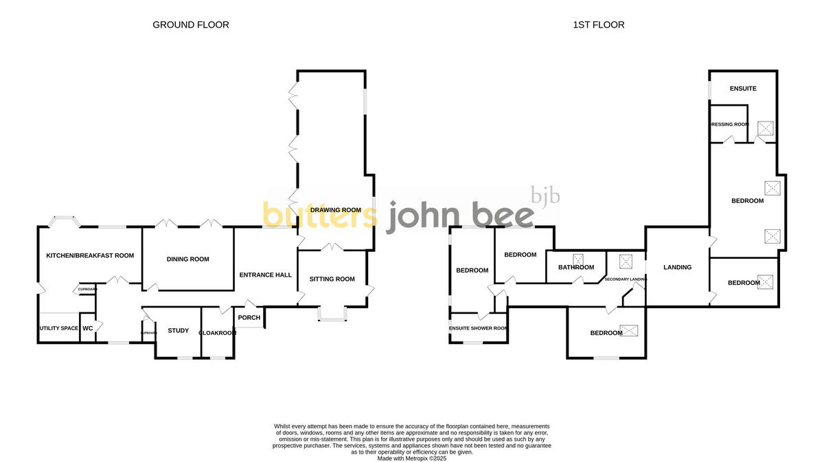
Floorplan 1
EPC Graphs
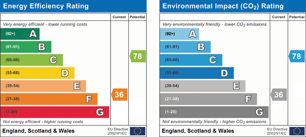
EPC 1
Price history
| Event | Date | Price | % change |
|---|---|---|---|
| Listed for sale | — | £900,000 | — |
Source: HM Land Registry Price Paid Data. Crown copyright.
Sold Comparables
Same street and nearby sales within 0.25 miles (last 5 years). Data from Land Registry Price Paid.
| Address | Price | Date | Type |
|---|---|---|---|
| WOOD FARM LODGE LANE, HATHERTON, NANTWICH, CHESHIRE EAST, CW5 7LD | £1,100,000 | 28/07/2023 | Detached |
| MOSS GATE HUNSTERSON ROAD, HATHERTON, NANTWICH, CHESHIRE EAST, CW5 7PD | £775,000 | 03/11/2022 | Detached |
Area average: £937,500 (2 sales)
Capital growth trend
Land Registry outcode average: last 12 months vs 5y and 10y ago (from sold prices).
House Price Index (HM Land Registry — official index, not sold-price averages): Cheshire East. Series: Detached. As of April 2026.
Rental Range
Estimated market rent for Cheshire East. Low = conservative, Realistic = average, Optimistic = best case.
Based on Local Authority from postcode lookup → Cheshire East.
LHA (30th percentile) floor for Bolton and Bury: £947/mo (Apr 2025 – Mar 2026)
Location
Address
Hunsterston Road
Nearby
Nearest stations, universities and amenities (distance from property).
| Type | Name | Distance |
|---|---|---|
| Bus stop | Hatherton, Hunsterson Road / Lodge Lane | 0.2 miles |
| Shop | Wybunbury Garage | 1.5 miles |
| Shop | Wybunbury PO & General Stores | 1.6 miles |
| Train station | Nantwich | 3.7 miles |
| Train station | Crewe | 4.7 miles |
| University | University of Buckingham Crewe Campus | 5.1 miles |
| Hospital | Leighton Hospital | 6.6 miles |
| University | Keele University | 8.1 miles |
| Hospital | Bradwell Hospital | 9.3 miles |
Street-level crime
| Category | Count |
|---|---|
| Burglary | 2 |
| Criminal damage and arson | 1 |
| Total incidents | 3 |
Within 1 mile during May 2026. Source: data.police.uk (England & Wales).
Schools nearby
Nearest open schools with Ofsted ratings (England). Closed schools are not shown. Data from Get Information about Schools and Ofsted.
| Name | Type | Distance | Ofsted |
|---|---|---|---|
| Wybunbury Delves CofE Primary School | Primary | 1.3 miles | Good — 7 Jun 2012 |
| Bridgemere CofE Primary School | Primary | 2.0 miles | Good — 23 Jul 2018 |
| Stapeley Broad Lane CofE Primary School | Primary | 2.6 miles | Outstanding — 6 Feb 2015 |
| Audlem St James' CofE Primary School | Primary | 2.8 miles | Good — 9 Nov 2023 |
| Shavington Primary School | Primary | 2.9 miles | Good — 10 Oct 2014 |
Rental Comparables
Rental comparables are temporarily unavailable while listing-site fetches are paused. Try again later.
Rent-driven metrics
Based on Area rent estimate.
- Rent ratio — Monthly rent ÷ purchase price (1% rule). 1%+ = strong, 0.8–1% = okay, <0.8% = weak for cashflow.
- Max investor price — Rent ÷ 0.8%; the price at which rent would be 0.8% of price (Stoke-style target).
- Target investor price — Rent ÷ 1%; the price at which rent would be 1% of price (strong cashflow band).
- Gross yield — Annual rent as % of purchase price (no costs).
Enter House Number
Enter the house number to help us retrieve more accurate pricing history and property data.
Please log in to submit or correct the house number for this listing.
Log in to continue