20 FRANK WRIGHT CLOSE
SHEFFIELD, SOUTH YORKSHIRE S2 3RE
£1,495 pcm
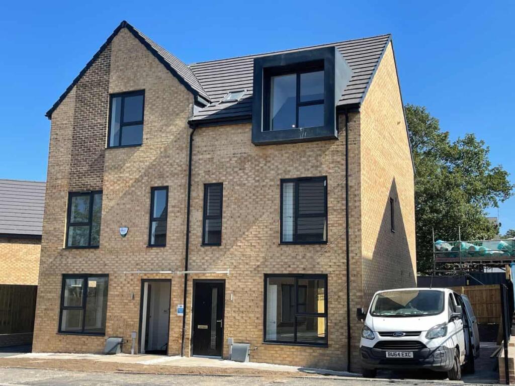
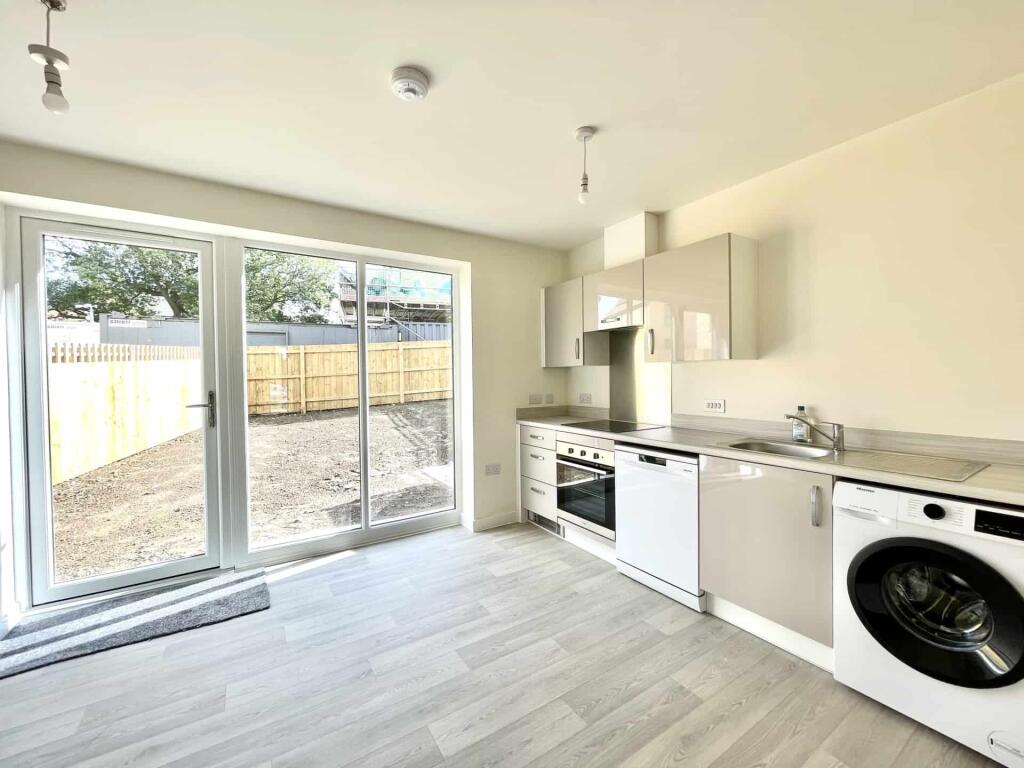
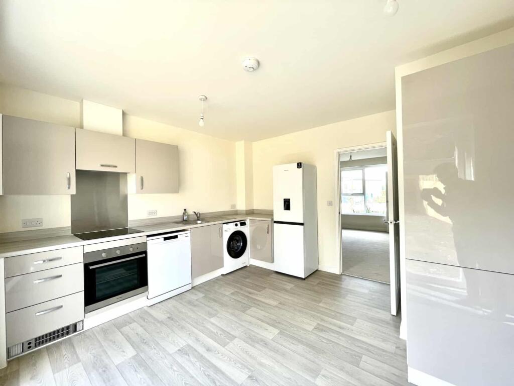
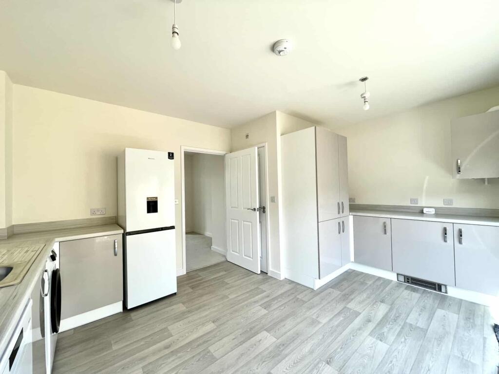
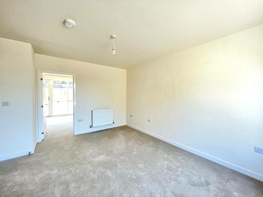
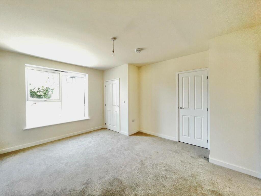
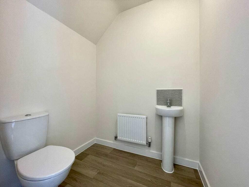
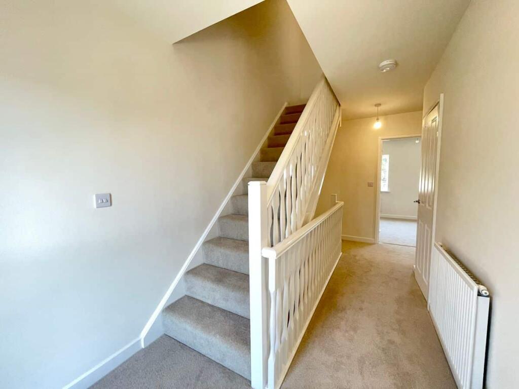
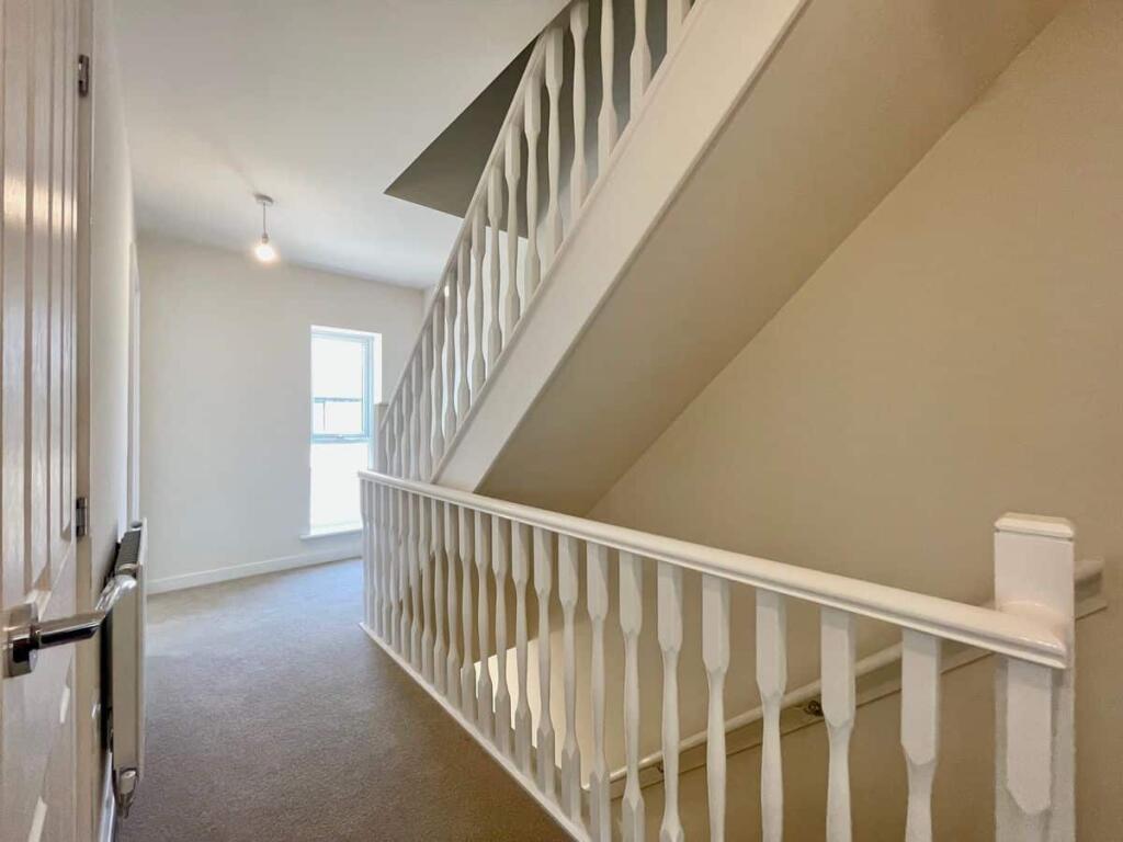
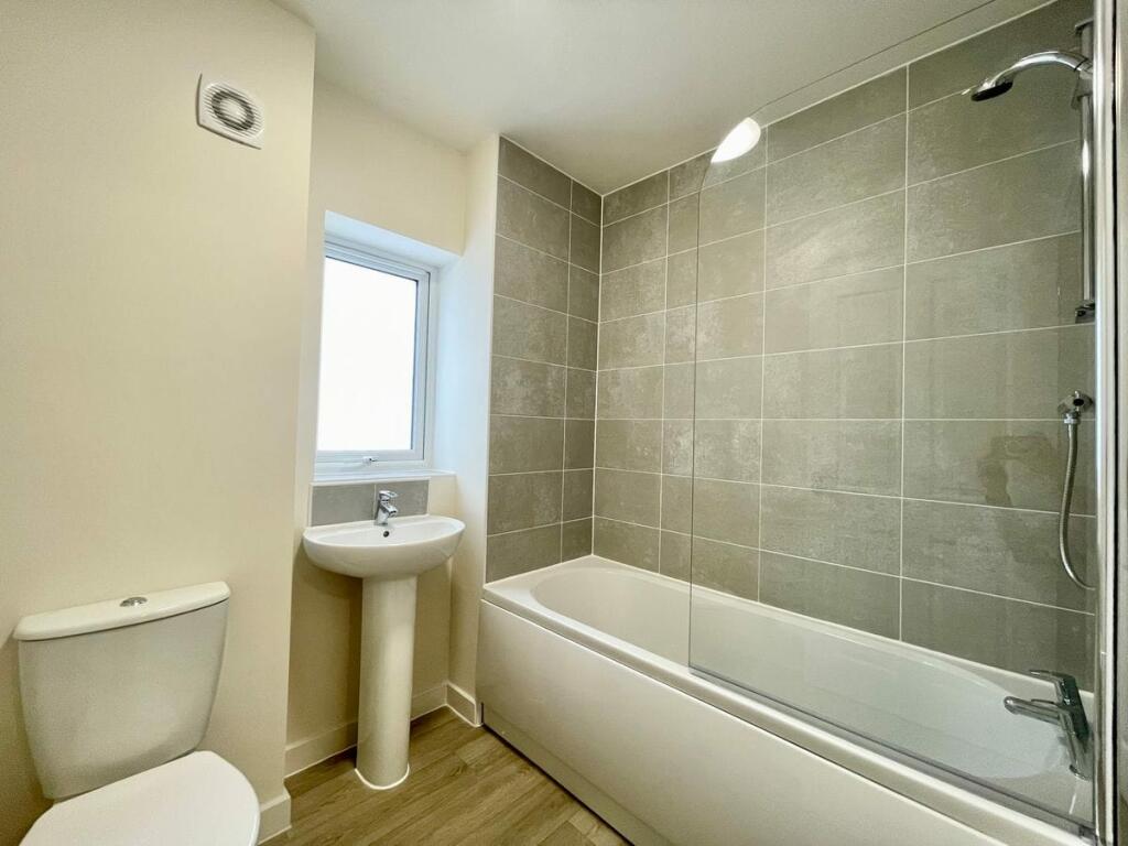
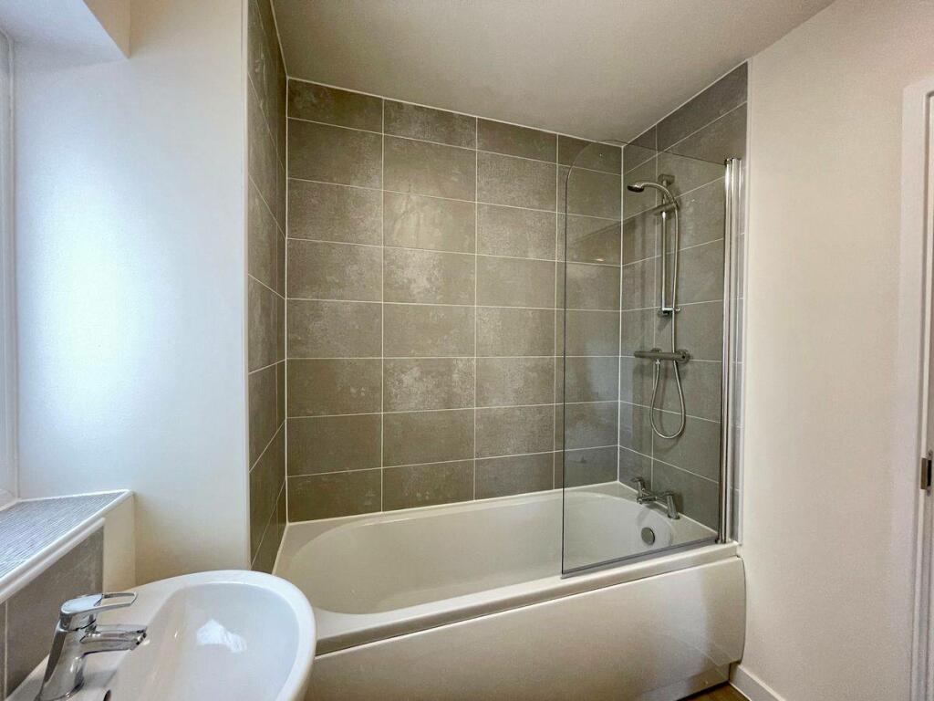
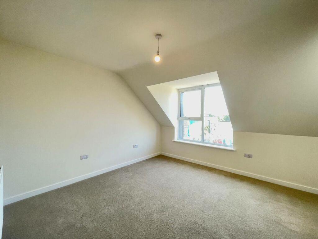
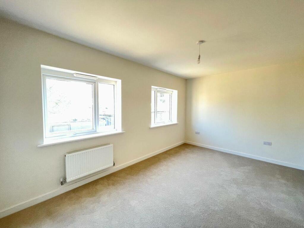
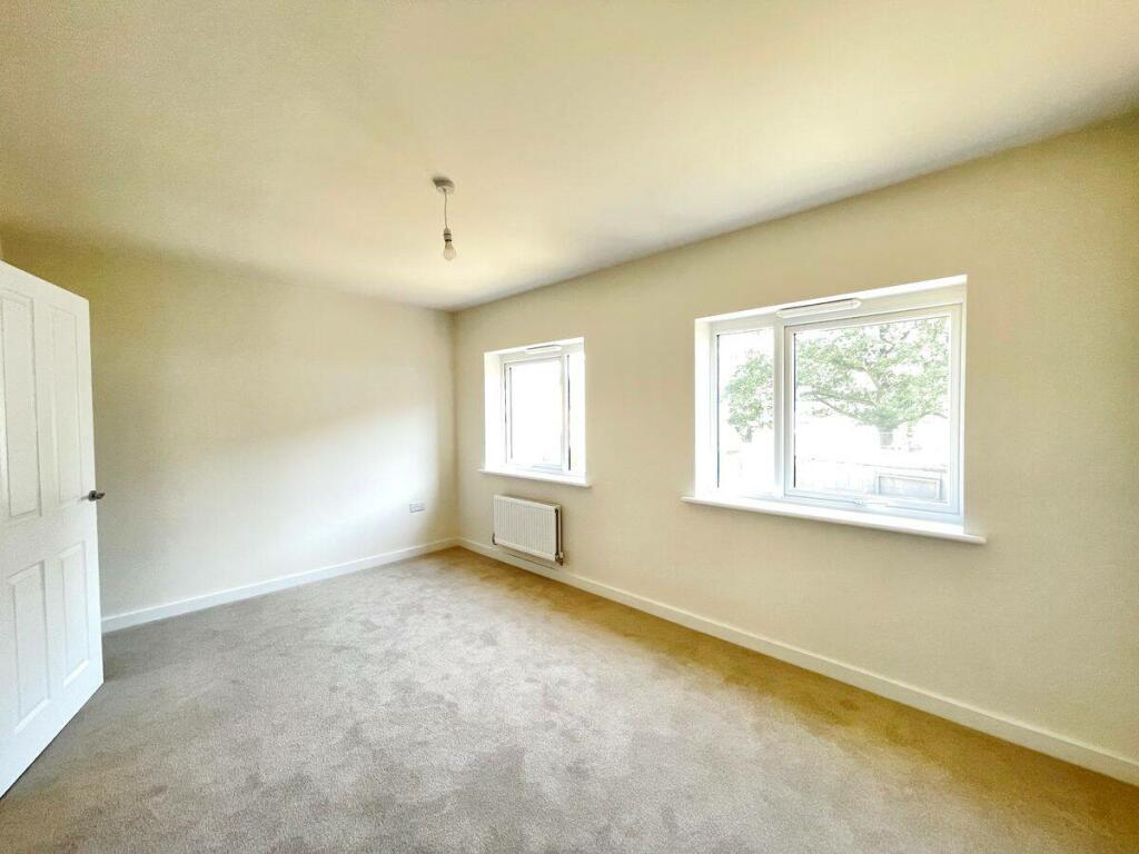
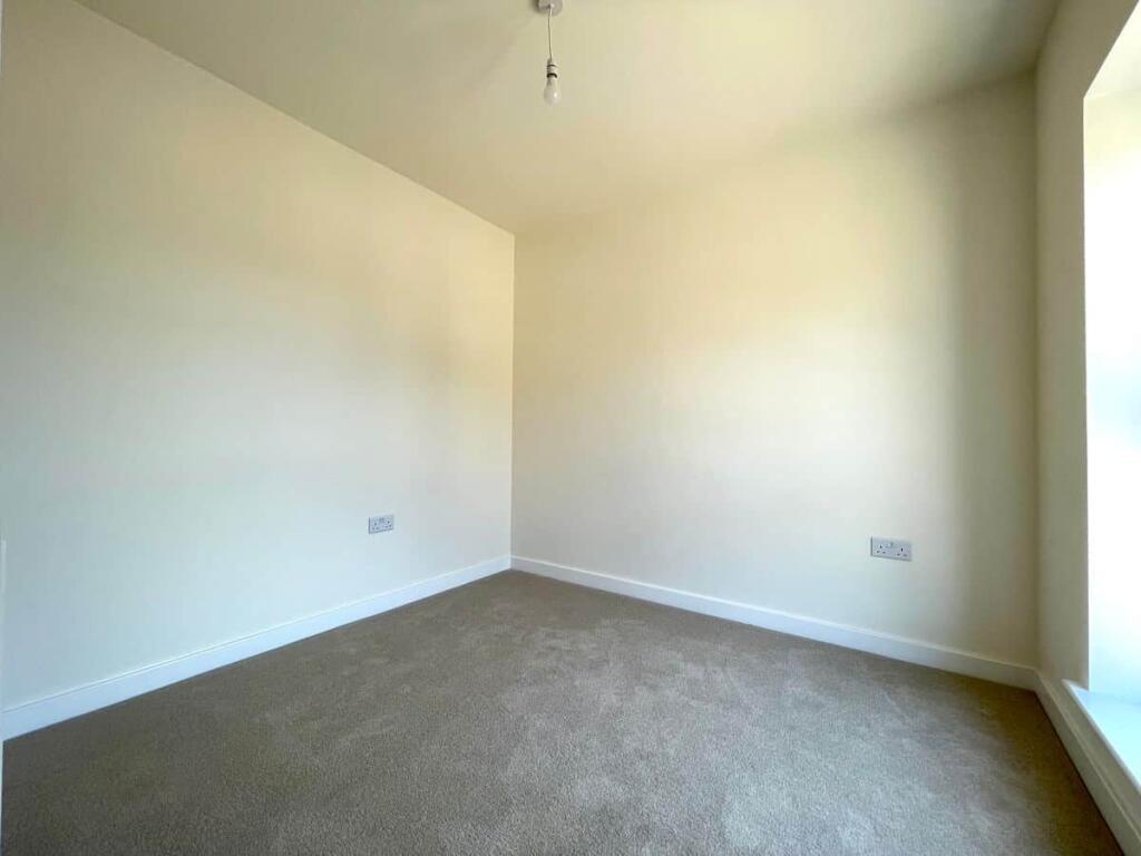
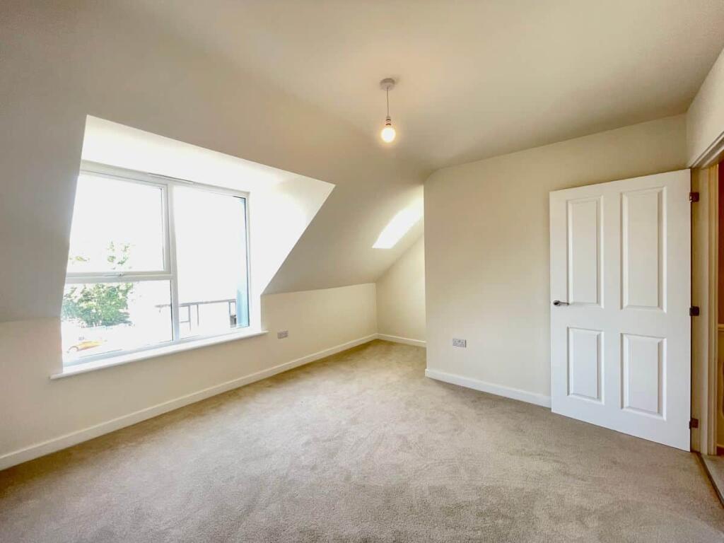
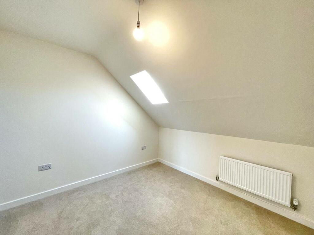
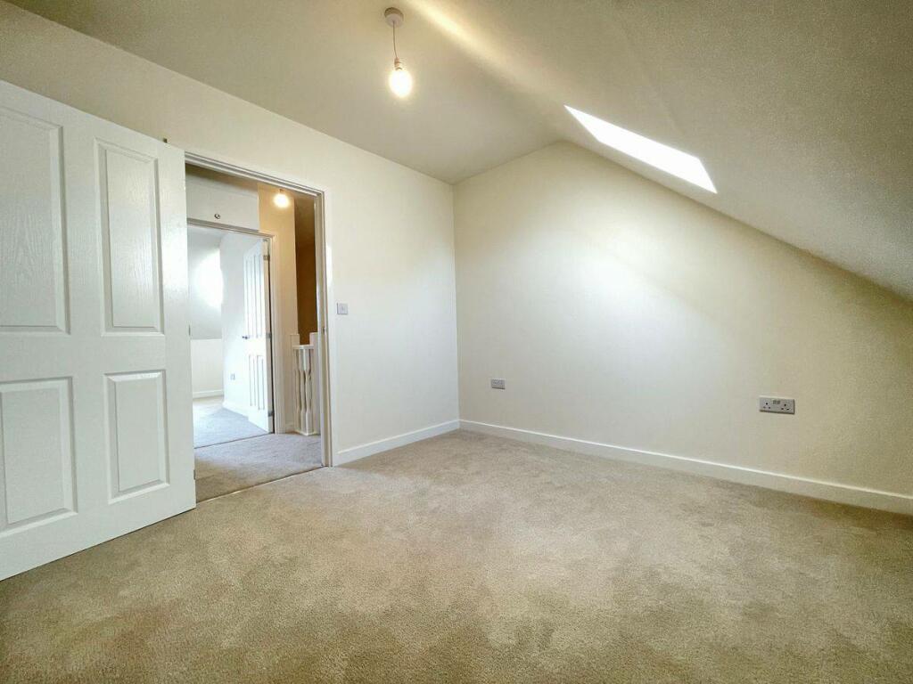
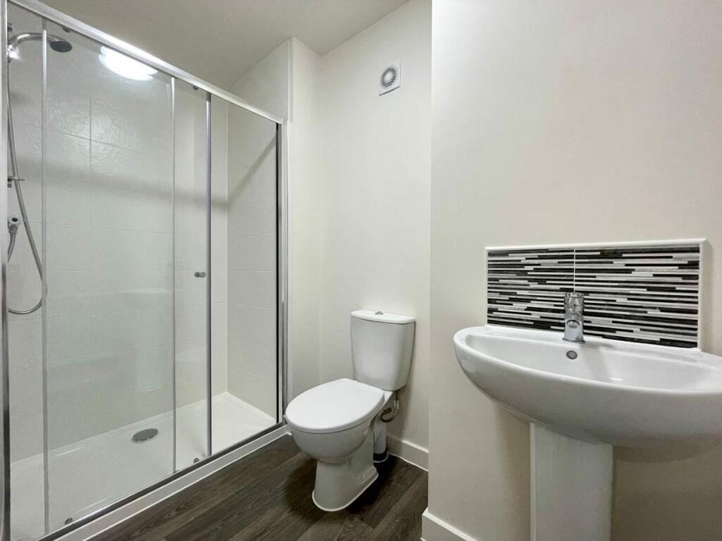
Photo 1 Photo 2 Photo 3 Photo 4 Photo 5 Photo 6 Photo 7 Photo 8 Photo 9 Photo 10 Photo 11 Photo 12 Photo 13 Photo 14 Photo 15 Photo 16 Photo 17 Photo 18 Photo 19
/ 19
Property details
Floor area
113 m²
Deprivation
Decile 3 (9,373 of 33,755)
Street crime
652 incidents within 1 mile (May 2026)
Key features
- Unfurnished
- 4 bedroom semi-detached house
- 3 bathrooms
- Modern brand new kitchen with white goods
- Excellent location
- Front & back garden
- Off street parking
- Good public transport links
- Call now
Additional details
- Parking
- Off street
- Garden
- Private garden
Description
Property consists of 4 bedrooms. 2 family bathrooms, downstairs WC, brand new fitted dining/kitchen with all white goods and off road parking for 3 cars with An Electric charging point.
This property is finished to the highest standard and carpeted throughout. New build property ideal for a family or group of professionals sharing.
Call to arrange a viewing and be the first to live in this beautiful property.
Listed by
Sheffield
PEAKSTONE ESTATE LTD
Reference: 150914645
EPC Rating & Upgrade Cost
Fetching EPC data… Refresh this page in a moment.
Flood risk
Zone: 1
Risk: Low
Job (default Low)
Rental Range
Estimated market rent for Yorkshire and The Humber. Low = conservative, Realistic = average, Optimistic = best case.
Based on Region from postcode lookup → Yorkshire and The Humber.
LHA (30th percentile) floor for Sheffield: £947/mo (Apr 2025 – Mar 2026)
Location
Nearby
Nearest stations, universities and amenities (distance from property).
| Type | Name | Distance |
|---|---|---|
| Bus stop | Park Grange Road/Park Spring Drive | 0.1 miles |
| Bus stop | Park Grange Road/Beeches Drive | 0.1 miles |
| Hospital | Cygnet | 0.2 miles |
| Shop | DOT MOT | 0.2 miles |
| Shop | Chiu Wah | 0.3 miles |
| Hospital | Guernsey House | 0.8 miles |
| Train station | Sheffield | 0.8 miles |
| University | Sheffield Hallam University City Campus | 0.9 miles |
| Train station | Darnall | 2.1 miles |
Street-level crime
| Category | Count |
|---|---|
| Violence and sexual offences | 217 |
| Anti-social behaviour | 144 |
| Shoplifting | 57 |
| Criminal damage and arson | 49 |
| Public order | 40 |
| Vehicle crime | 37 |
| Other theft | 32 |
| Burglary | 30 |
| Other crime | 14 |
| Drugs | 12 |
| Possession of weapons | 7 |
| Robbery | 7 |
| Bicycle theft | 4 |
| Theft from the person | 2 |
| Total incidents | 652 |
Within 1 mile during May 2026. Source: data.police.uk (England & Wales).
Schools nearby
Nearest open schools with Ofsted ratings (England). Closed schools are not shown. Data from Get Information about Schools and Ofsted.
| Name | Type | Distance | Ofsted |
|---|---|---|---|
| Discovery Academy | Other | 0.2 miles | — (No rating) |
| Heritage Park School | Other | 0.3 miles | — (No rating) |
| All Saints' Catholic High School | Secondary | 0.4 miles | Good — 28 Mar 2014 |
| Seven Hills School | Other | 0.4 miles | Good — 4 Jul 2024 |
| Norfolk Community Primary School | Primary | 0.4 miles | Good — 21 Sep 2022 |
Rental Comparables
Residential lets from OpenRent and Rightmove for the area (same bedroom count). Use to validate rent estimates. Student lets are excluded.
| Title | Rent | Beds | Distance | As seen on |
|---|---|---|---|---|
| 4 Bed Terraced House, Shoreham Street, S2 | £1,595/mo | 4 | 0.58 miles | OpenRent |
| 4 Bed Terraced House, Margaret Street, S1 | £1,250/mo | 4 | 0.7 miles | OpenRent |
Average rent: £1,423/mo (2 listings)