151 DIMSDALE PARADE WEST
NEWCASTLE, NEWCASTLE, STAFFORDSHIRE ST5 8DX
£750 pcm
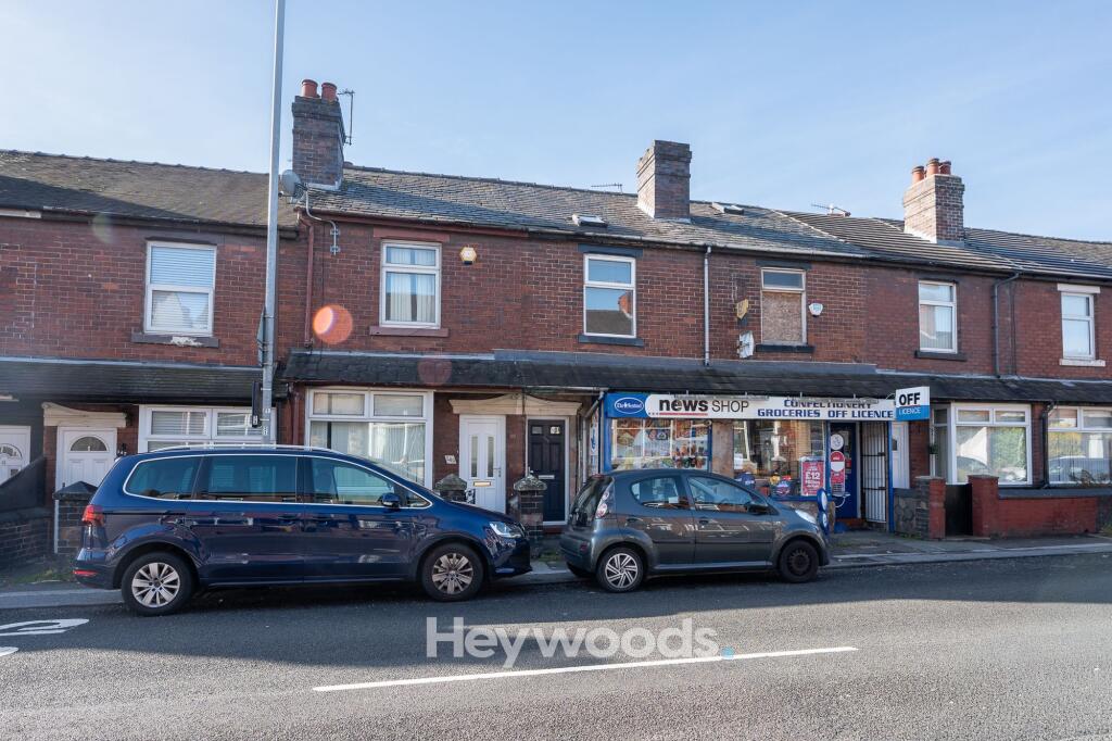
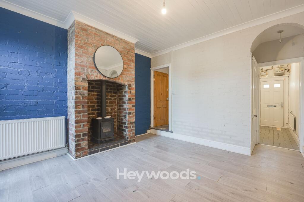
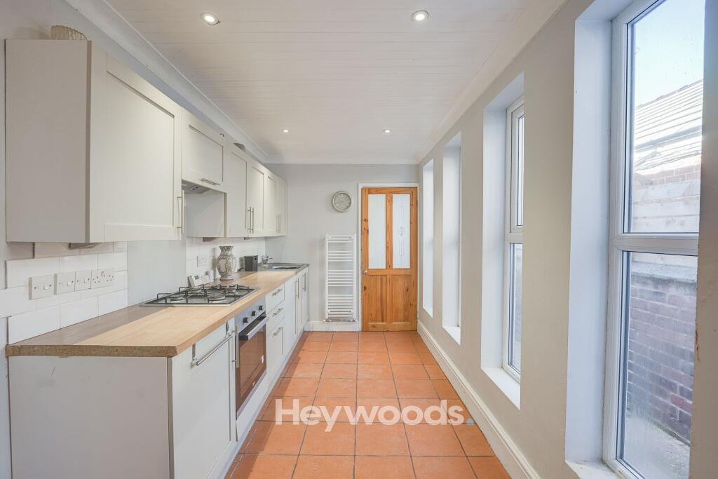
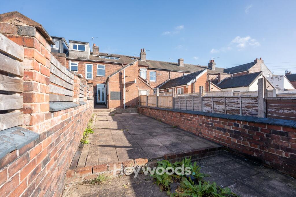
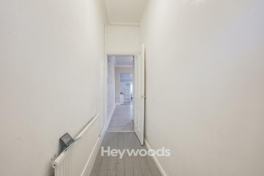
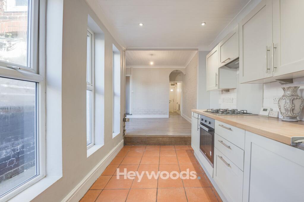
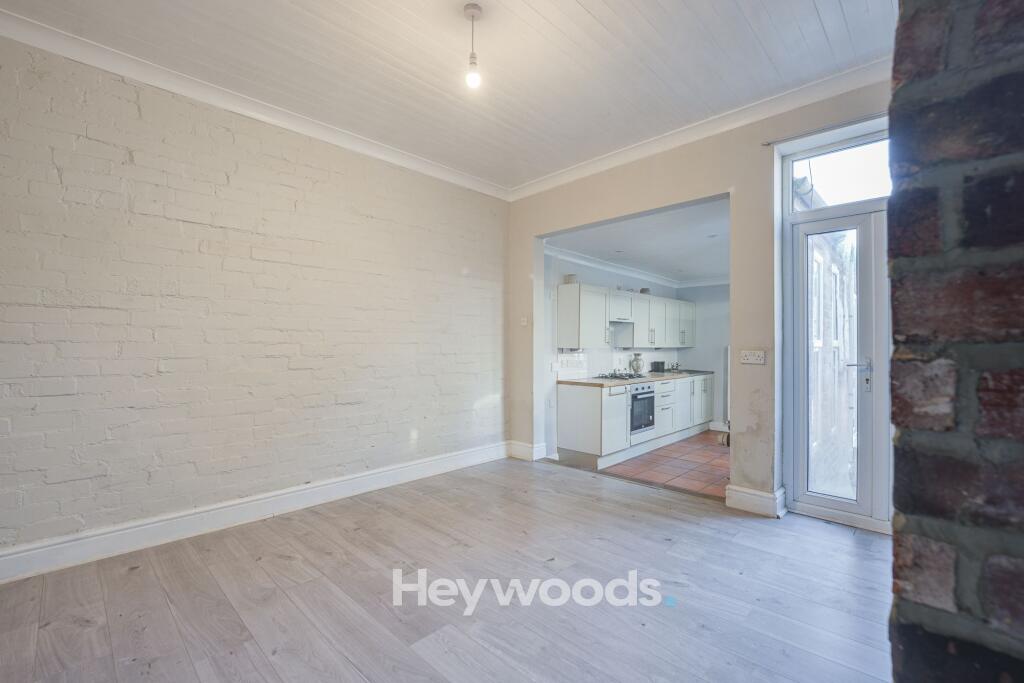
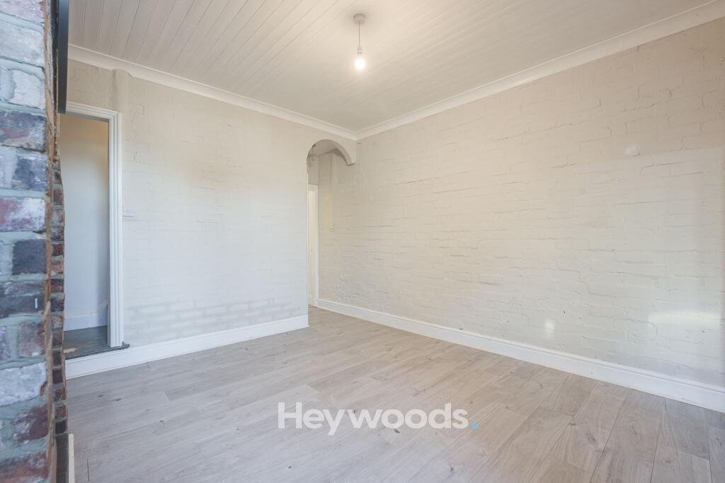
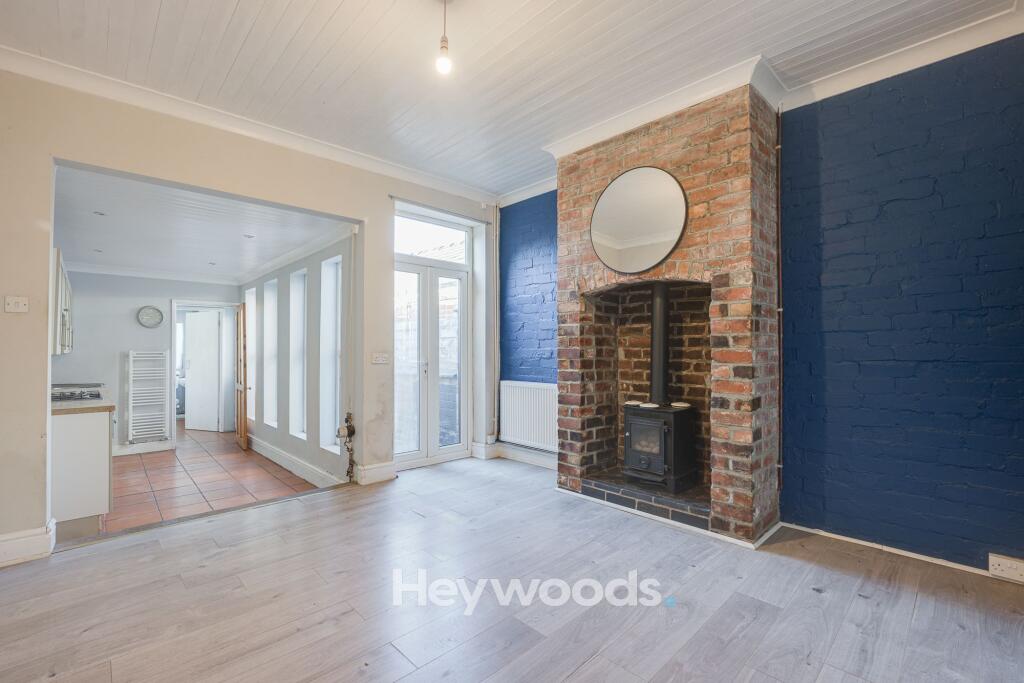
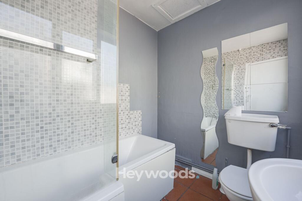
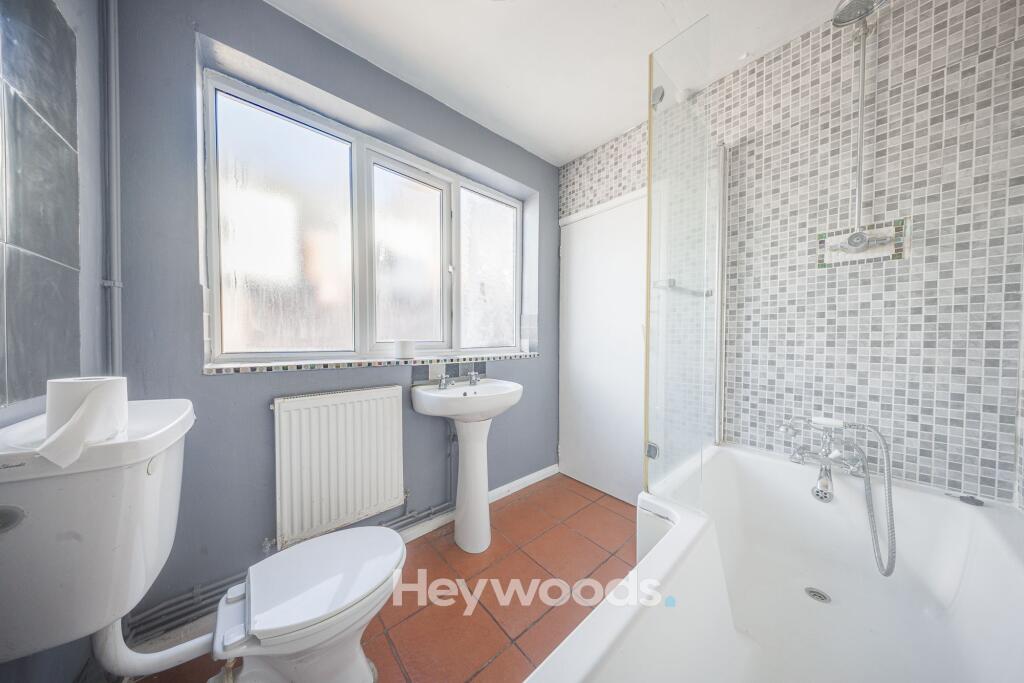
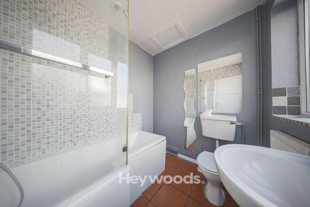
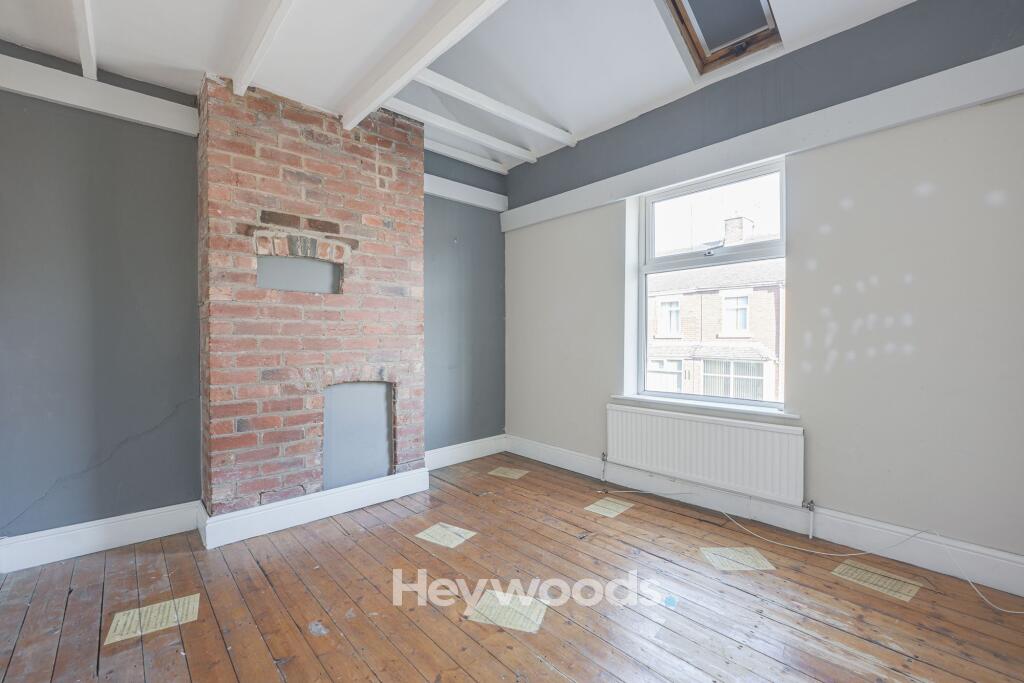
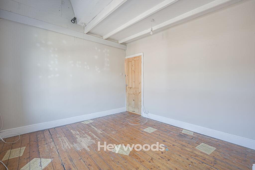
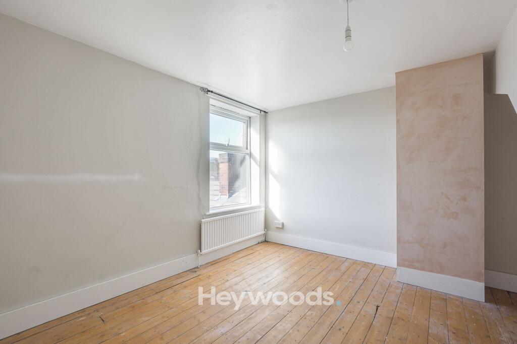
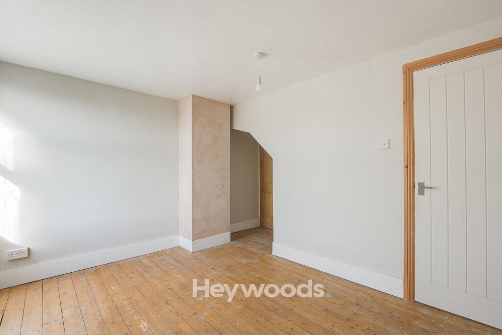
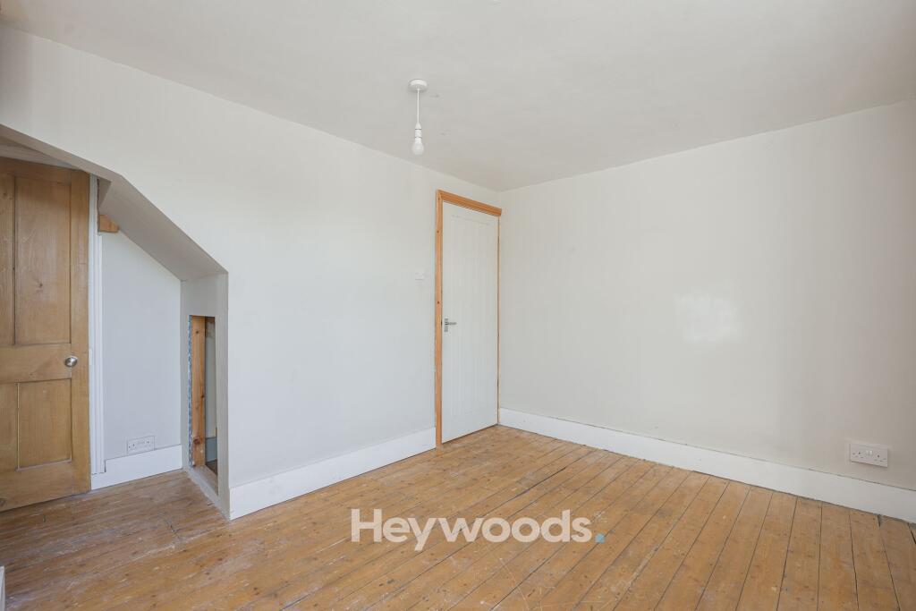
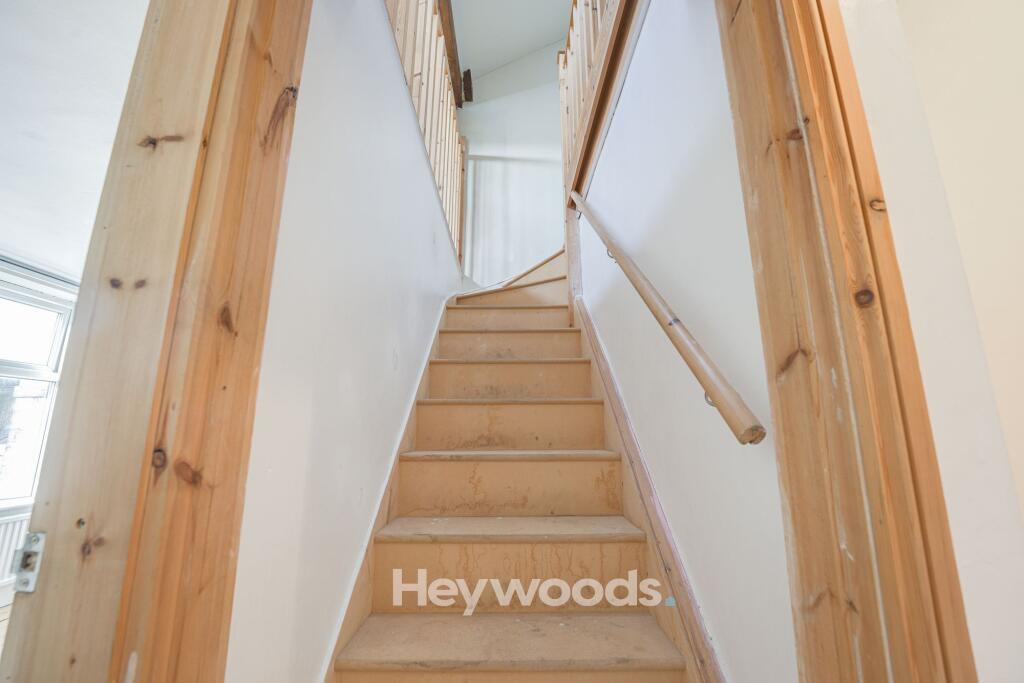
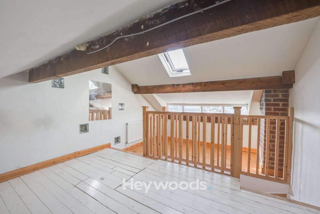
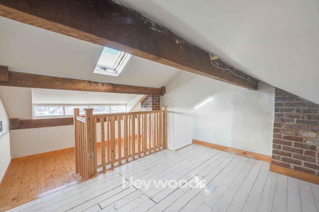
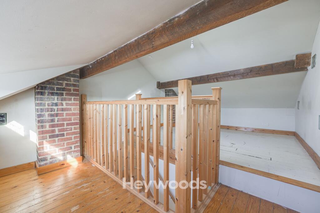
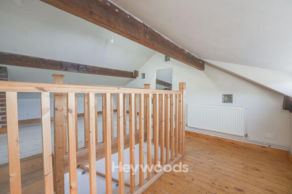
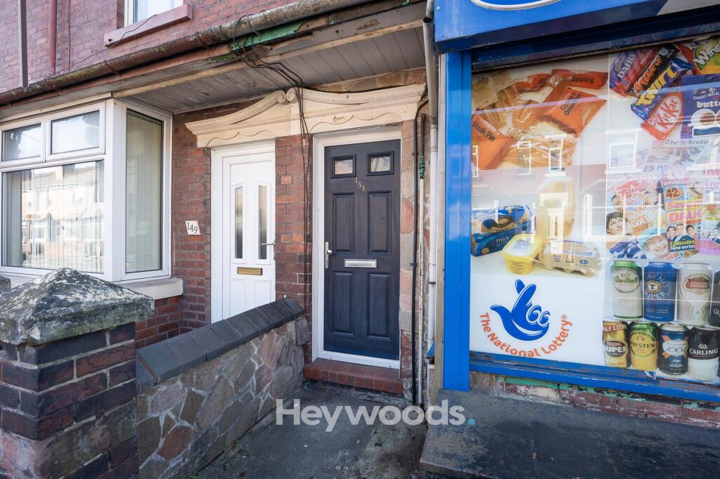
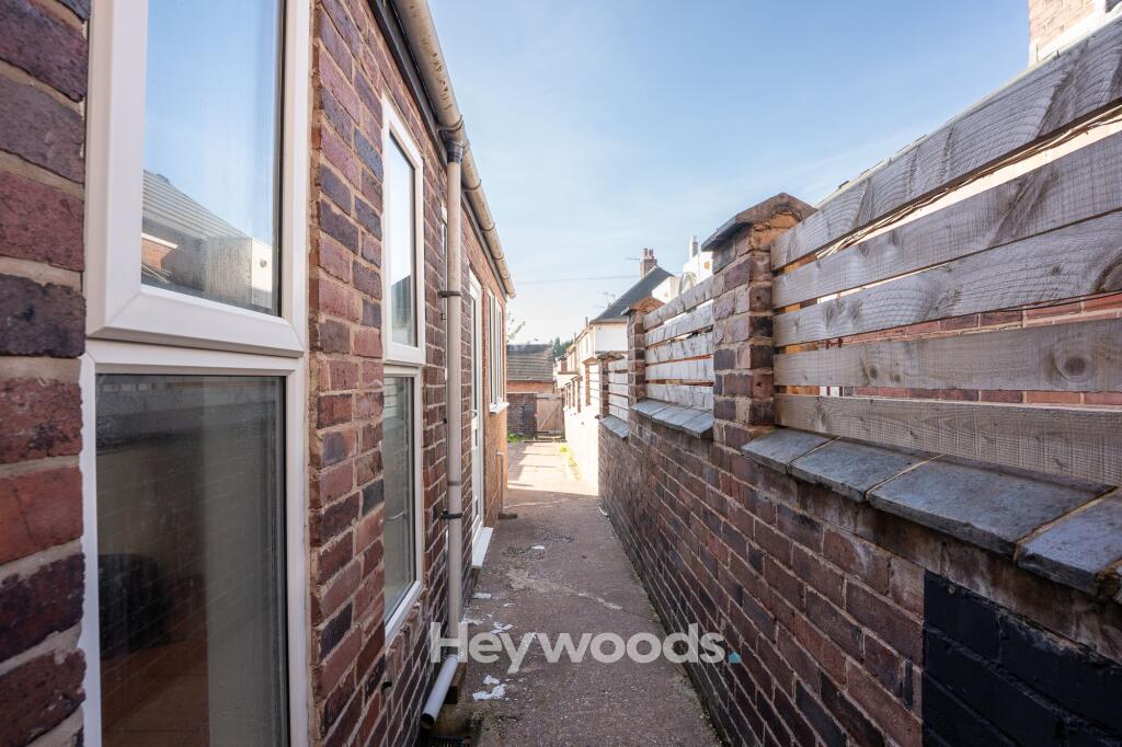
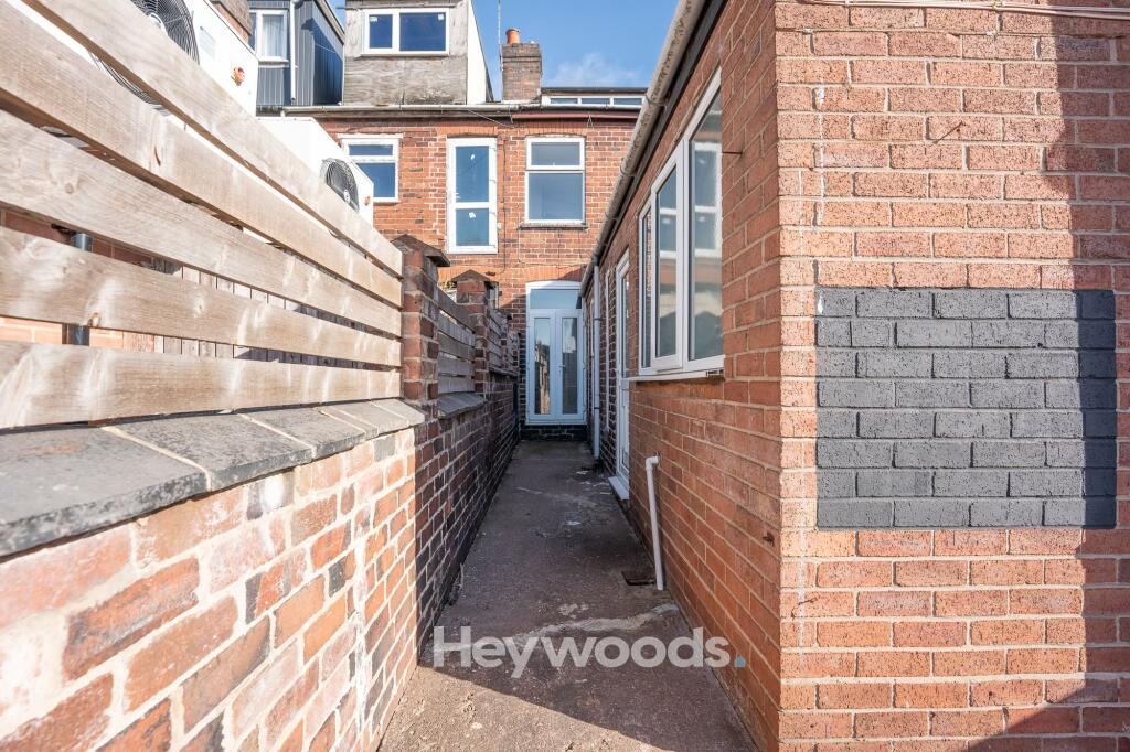
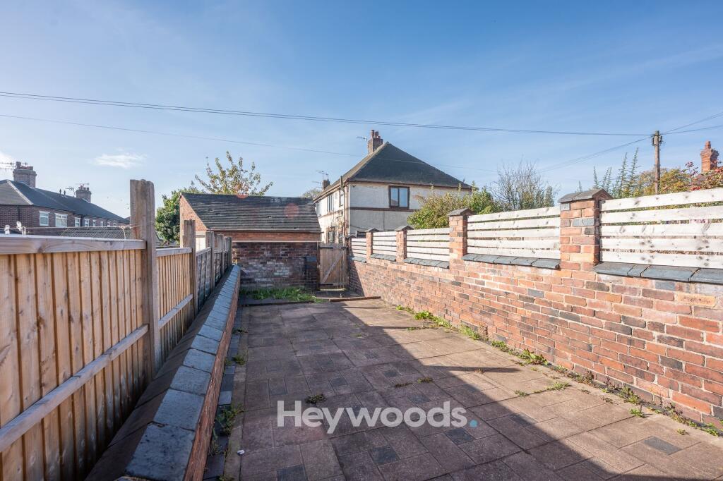
Photo 1 Photo 2 Photo 3 Photo 4 Photo 5 Photo 6 Photo 7 Photo 8 Photo 9 Photo 10 Photo 11 Photo 12 Photo 13 Photo 14 Photo 15 Photo 16 Photo 17 Photo 18 Photo 19 Photo 20 Photo 21 Photo 22 Photo 23 Photo 24 Photo 25 Photo 26
/ 26
Property details
Floor area
89 m²
Council tax band
A
Deprivation
Decile 7 (20,468 of 33,755)
Street crime
190 incidents within 1 mile (Aug 2026)
Key features
- Two Bedroom Mid Terrace
- Rear Yard
- Close to Local Amenities
- Useful Loft Room
- Modern Kitchen
- Ground Floor Bathroom
Additional details
- Garden
- Yes
- Listed property
- No
- Restrictions
- No
- Required access
- No
- Rights of way
- No
- Flooded in last 5 years
- No
- Flood defences
- No
Description
The property offers comfortable living accommodation, making it an ideal home for couples, small families or working professionals.
A particular feature of this property is the spacious and versatile loft room, providing valuable additional space which could be utilised as a home office, hobby room, study or for general storage.
Please note: The loft room is not classified or approved for use as a bedroom.
Situated in a convenient location, the property benefits from easy access to local shops, schools, amenities and transport links, with Newcastle-under-Lyme town centre and surrounding areas within easy reach.
To the rear there is a spacious yard.
Be quick to submit your availability to view this property.
Listed by
Newcastle-under-Lyme
Heywoods
Reference: 94381323
Flood risk
Zone: 1
Risk: Low
Job (default Low)
Registered land (INSPIRE)
This location falls inside an HM Land Registry INSPIRE registered freehold polygon.
Plot: ~100 m² (0.02 acres)
Source: HM Land Registry INSPIRE Index Polygons.
Rental Range
Estimated market rent for Newcastle-under-Lyme. Low = conservative, Realistic = average, Optimistic = best case.
Based on Local Authority from postcode lookup → Newcastle-under-Lyme.
LHA (30th percentile) floor for Staffordshire North: £479/mo (Apr 2025 – Mar 2026)
Location
Nearby
Nearest stations, universities and amenities (distance from property).
| Type | Name | Distance |
|---|---|---|
| Bus stop | Dimsdale Parade West | 0.1 miles |
| Bus stop | Clare Avenue | 0.1 miles |
| Shop | Unknown | 0.3 miles |
| Shop | The co-operative food | 0.4 miles |
| Train station | Longport | 0.8 miles |
| Train station | Silverdale | 1.5 miles |
| Hospital | Royal Stoke University Hospital | 2.2 miles |
| Hospital | Haywood Hospital Walk-in Centre | 2.3 miles |
| University | Keele University | 2.8 miles |
| University | University of Buckingham Crewe Campus | 9.0 miles |
Street-level crime
| Category | Count |
|---|---|
| Violence and sexual offences | 69 |
| Anti-social behaviour | 48 |
| Shoplifting | 23 |
| Public order | 14 |
| Criminal damage and arson | 10 |
| Other theft | 6 |
| Burglary | 5 |
| Drugs | 5 |
| Other crime | 5 |
| Bicycle theft | 3 |
| Possession of weapons | 1 |
| Robbery | 1 |
| Total incidents | 190 |
Within 1 mile during Aug 2026. Source: data.police.uk (England & Wales).
Schools nearby
Nearest open schools with Ofsted ratings (England). Closed schools are not shown. Data from Get Information about Schools and Ofsted.
| Name | Type | Distance | Ofsted |
|---|---|---|---|
| Cedars - Newcastle, Moorlands and Darwin Bases | Other | 0.3 miles | Good — 26 Jun 2015 |
| Kaleidoscope School | Other | 0.4 miles | Good — 10 Dec 2023 |
| Oaklands Nursery School | Nursery | 0.4 miles | Outstanding — 15 Feb 2013 |
| The Orme Academy | Secondary | 0.5 miles | Good — 9 Jul 2024 |
| Ellison Primary Academy | Primary | 0.5 miles | Good — 14 Sep 2023 |
Rental Comparables
Residential lets from OpenRent and Rightmove for the area (same bedroom count). Use to validate rent estimates. Student lets are excluded.
Average rent: £814/mo (53 listings)