Brittain Avenue
Chesterton, Newcastle-under-Lyme, ST5 7NU
£800 pcm
pbox-IMG.JPG pbox-IMG.JPG pbox-IMG.jpg pbox-IMG.JPG pbox-IMG.JPG pbox-IMG.JPG pbox-IMG.JPG pbox-IMG.JPG pbox-IMG.JPG pbox-IMG.jpg pbox-IMG.JPG pbox-IMG.JPG pbox-IMG.JPG pbox-IMG.JPG pbox-IMG.JPG pbox-IMG.JPG pbox-IMG.JPG pbox-IMG.JPG pbox-IMG.JPG pbox-IMG.JPG pbox-IMG.JPG pbox-IMG.JPG pbox-IMG.JPG pbox-IMG.JPG pbox-IMG.JPG pbox-IMG.JPG
/ 26
Property details
Council tax band
A
Deprivation
Decile 3 (7,390 of 33,755)
Street crime
161 incidents within 1 mile (Aug 2026)
Key features
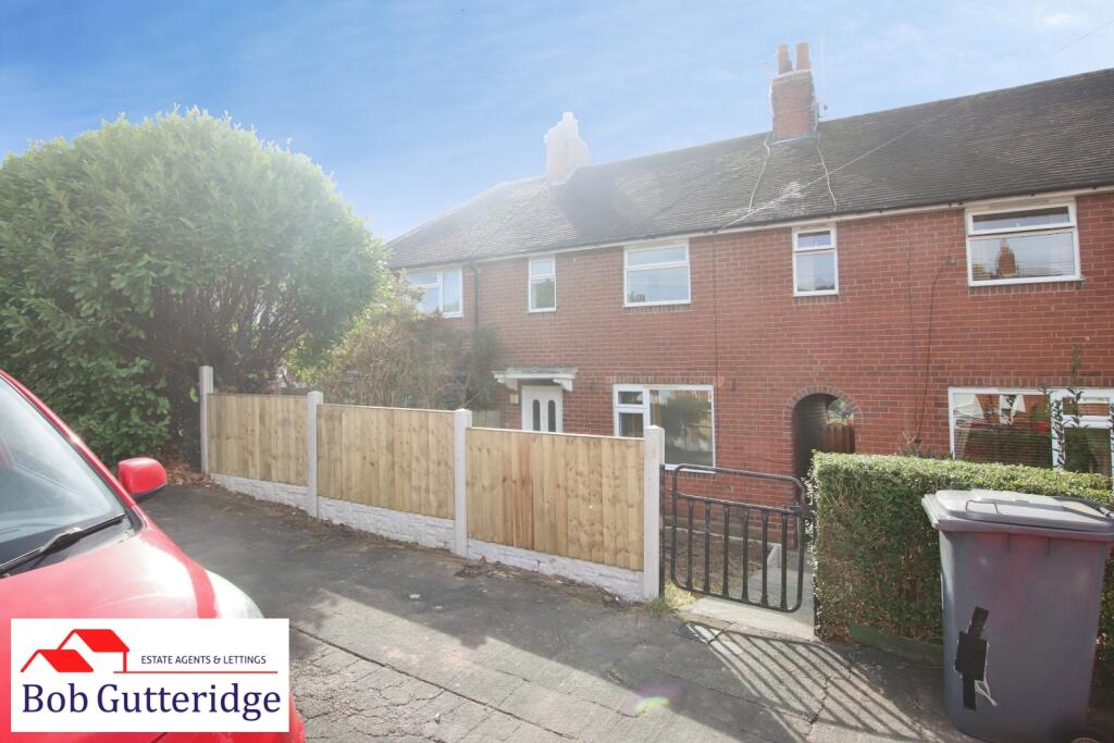
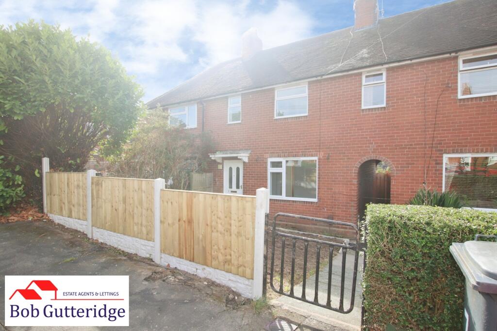
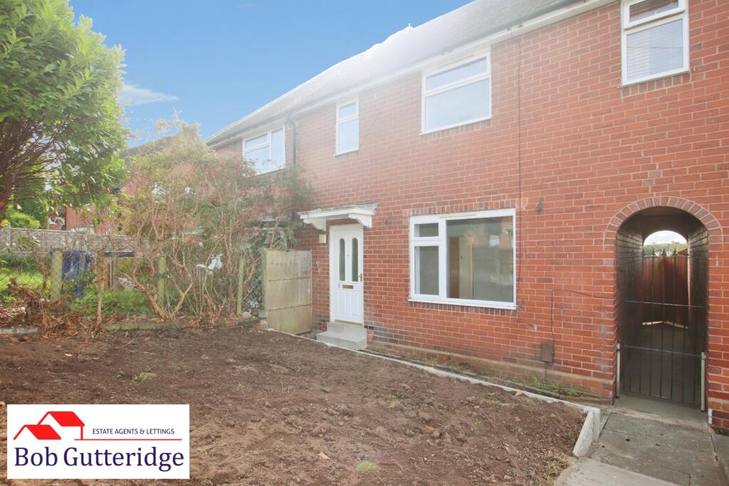
- A Recently Modernized Mid-Townhouse In This Convenient Chesterton Location
- Upvc Double Glazing & Gas Combi Central Heating
- Spacious Lounge
- Modern Fitted Kitchen / Diner
- Ground Floor W/C & First Floor Bathroom
- Two Generous Bedrooms & Dressing Room / Study
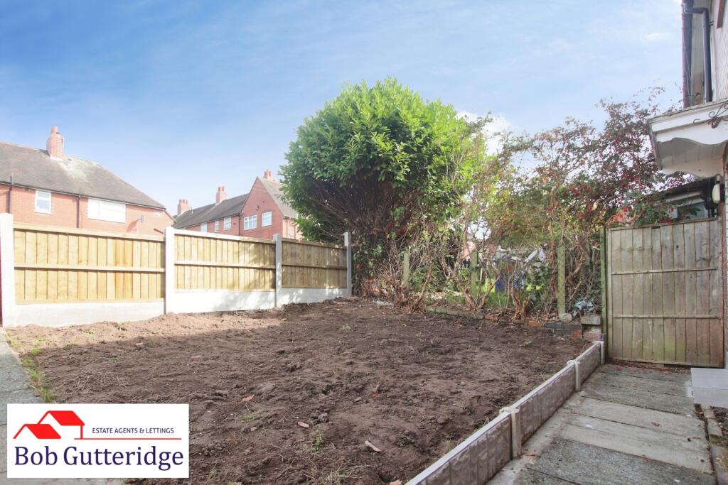
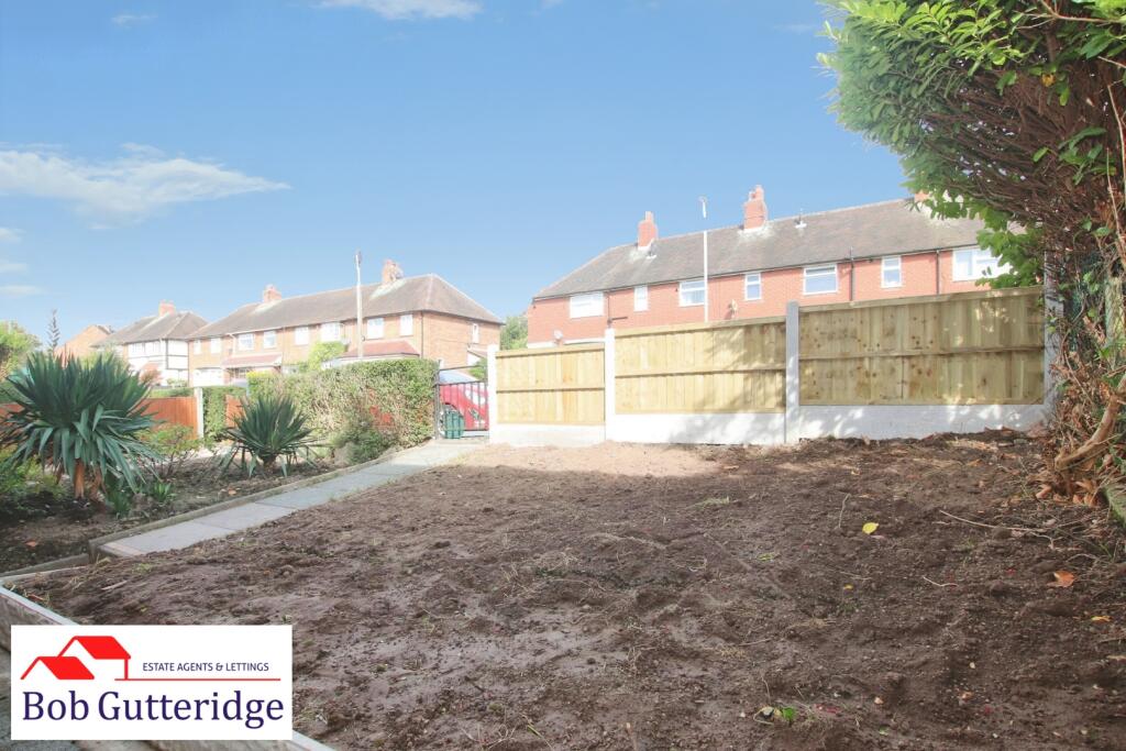
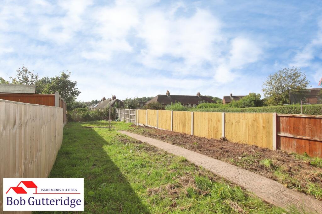
- Foregarden & Sizeable Enclosed Rear Garden
- Convenient Access To Local Amenities, with Good Road Links to A34 & A500
- Council Tax Band "A" Payable to Newcastle-under-Lyme Borough Council
- Viewing Essential !
Additional details
- Electricity
- Mains supply
- Broadband
- Cable, ADSL copper wire
- Water
- Mains supply
- Sewerage
- Mains supply
- Heating
- Gas central
- Parking
- On street
- Garden
- Yes
- Listed property
- No
- Restrictions
- Yes
- Required access
- No
- Rights of way
- No
- Flooded in last 5 years
- No
- Flood defences
- No
Description
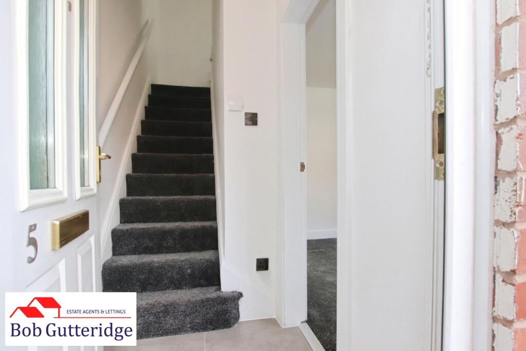
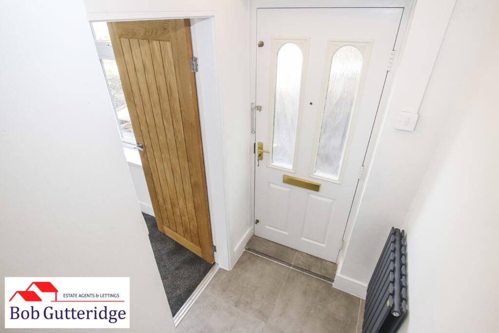
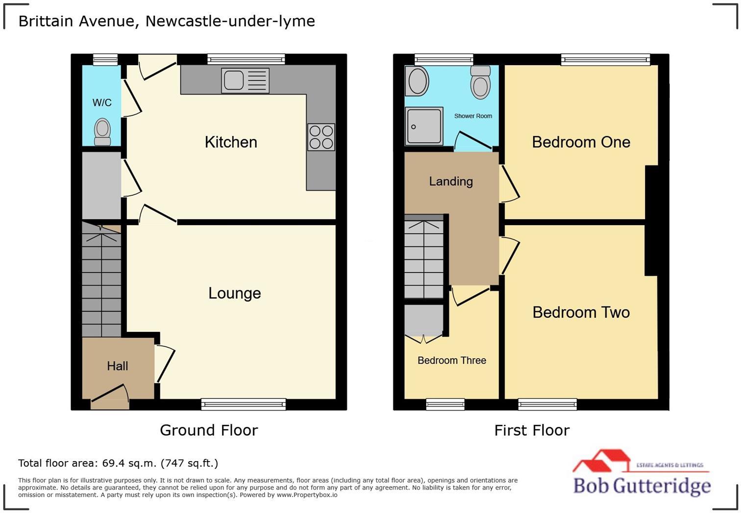
Entrance Hallway - 1.35m x 1.19m (4'5" x 3'11") - With Upvc double glazed frosted front access door, LED light fitting, smoke alarm, panelled radiator, wall-mounted thermostat, ceramic tile flooring, power points, stairs and floor and door leading off to;
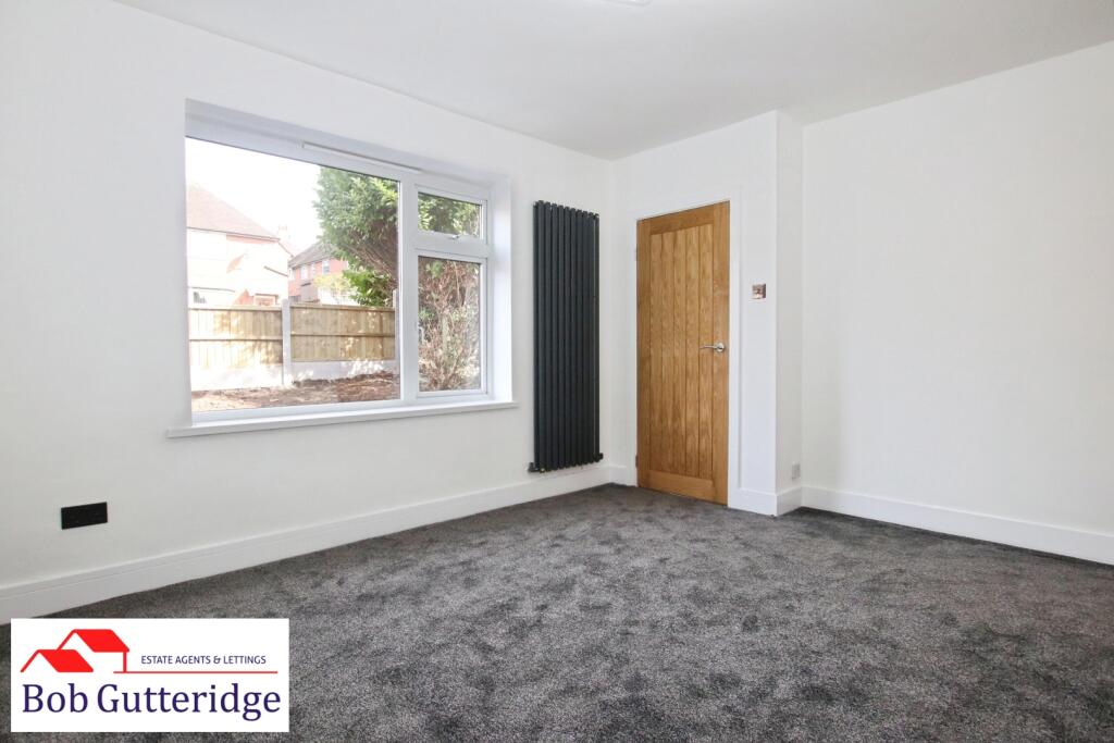
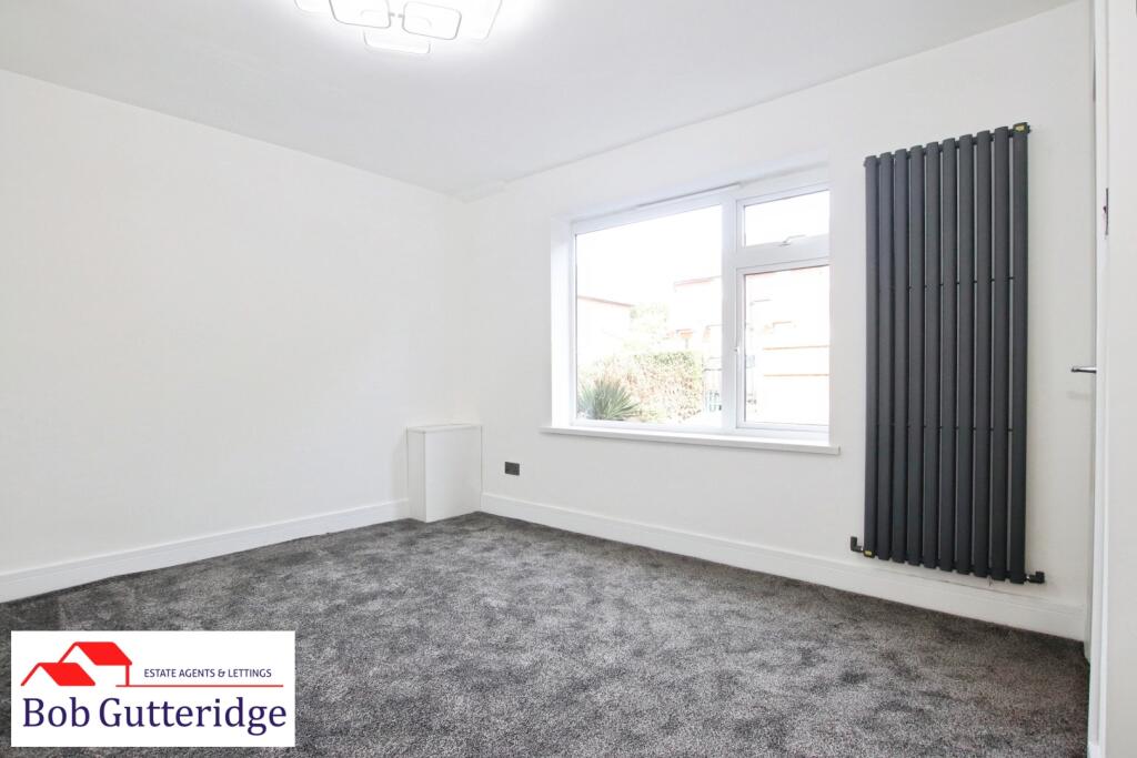
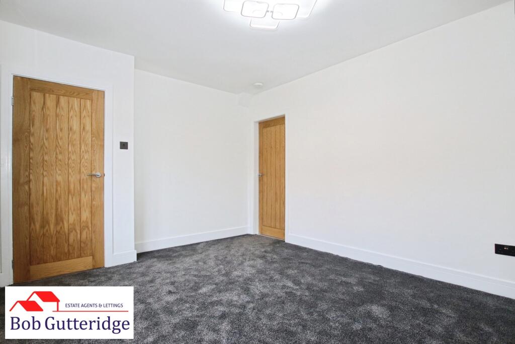
Lounge - 4.06m x 3.33m (13'4" x 10'11") - With Upvc double glazed window to front, LED light fitting, smoke alarm, panelled radiator, power points and door leading off to;
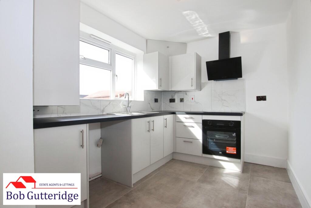
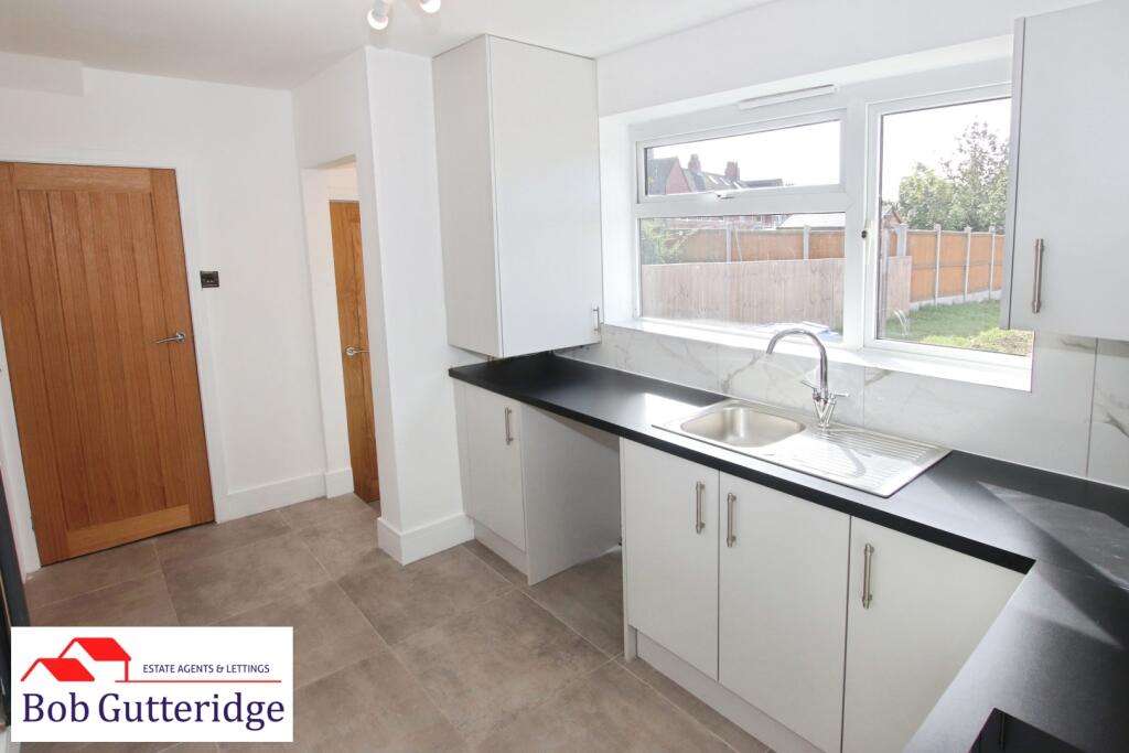
Fitted Kitchen / Diner - 4.06m x 2.36m (13'4" x 7'9") - With Upvc double glazed frosted rear access door, Upvc double glazed window to rear, three-lamp spotlight fitting, panelled radiator, a range of base and wall-mounted kitchen storage cupboards providing ample domestic cupboard and drawer space, square-edge worktops, built-in sink unit with mixer tap above, built-in Beko fan electric oven with four-ring induction hob and extractor hood above, space for fridge plus freezer, space for automatic washing machine, built-in storage cupboard providing ample domestic storage space, a Vaillant gas combination boiler providing the domestic hot water and heating systems, enclosed light fitting, ceramic tile flooring, ceramic splashback tiling and door leading off to;
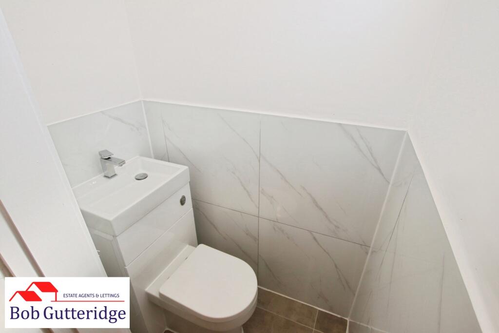
Ground Floor W/C - 1.35m x 0.84m (4'5" x 2'9") - With Upvc double glazed frosted window to rear, enclosed light fitting, low-level dual-flush WC with integrated hand-wash basin and mixer tap above, ceramic floor tiling and ceramic splashback tiling.
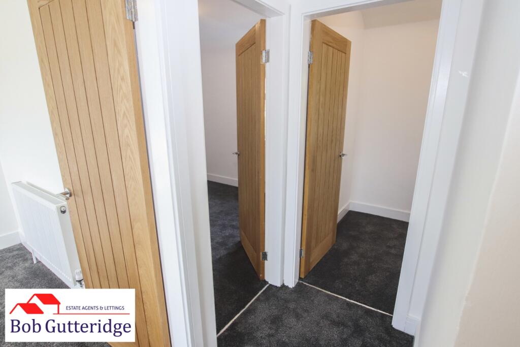
First Floor Landing - 2.01m x 1.83m (6'7" x 6'0") - With LED light fitting, smoke alarm, loft access and doors leading off to;
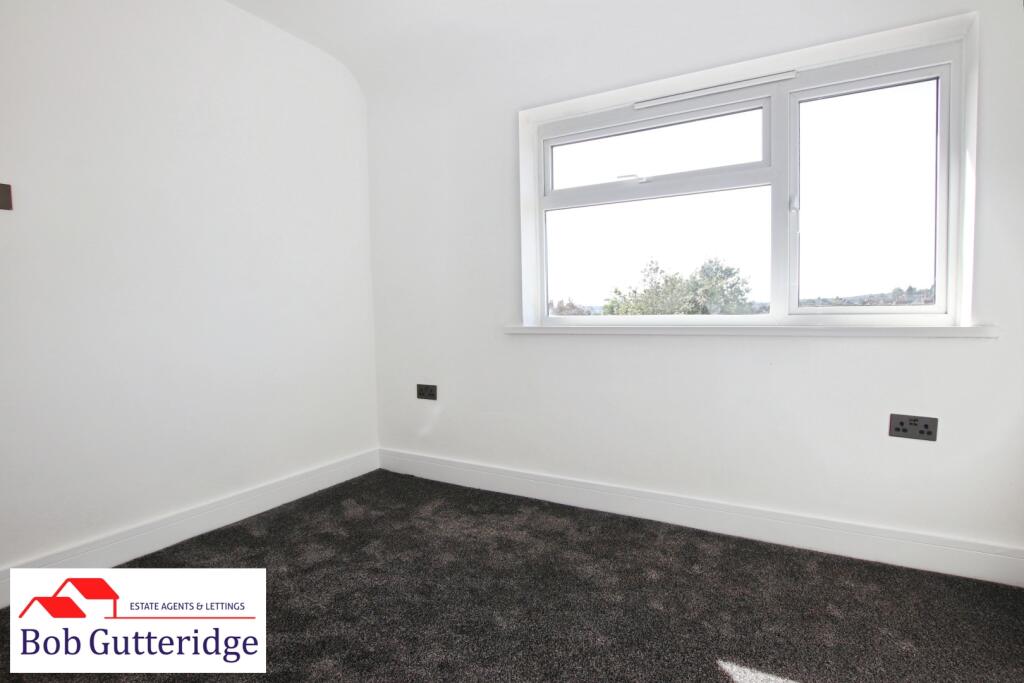
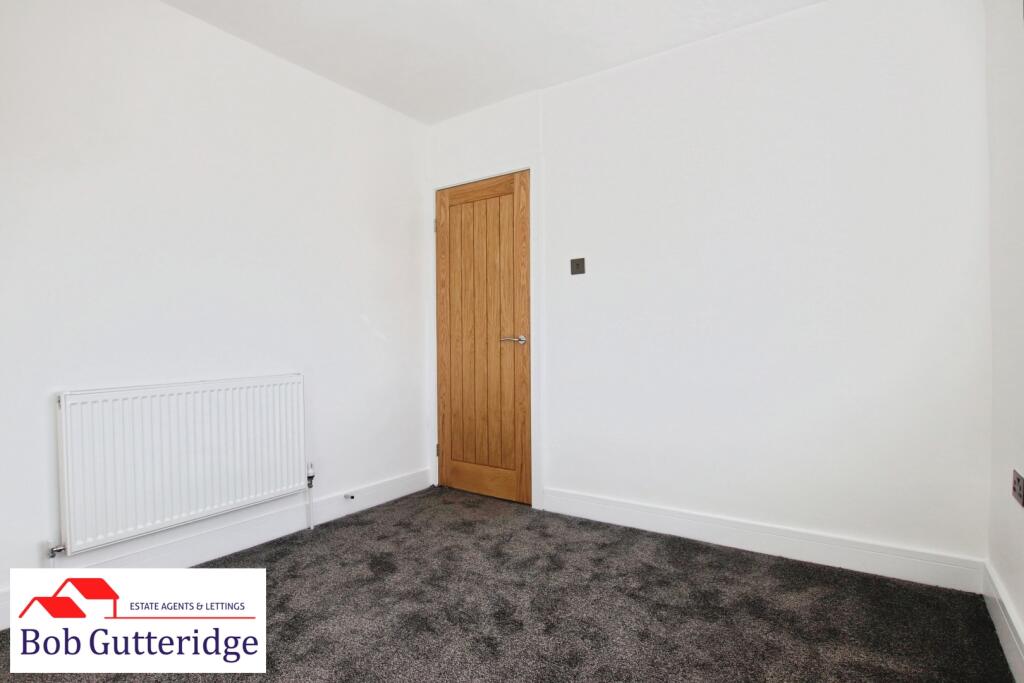
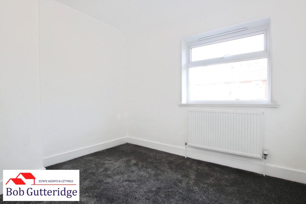
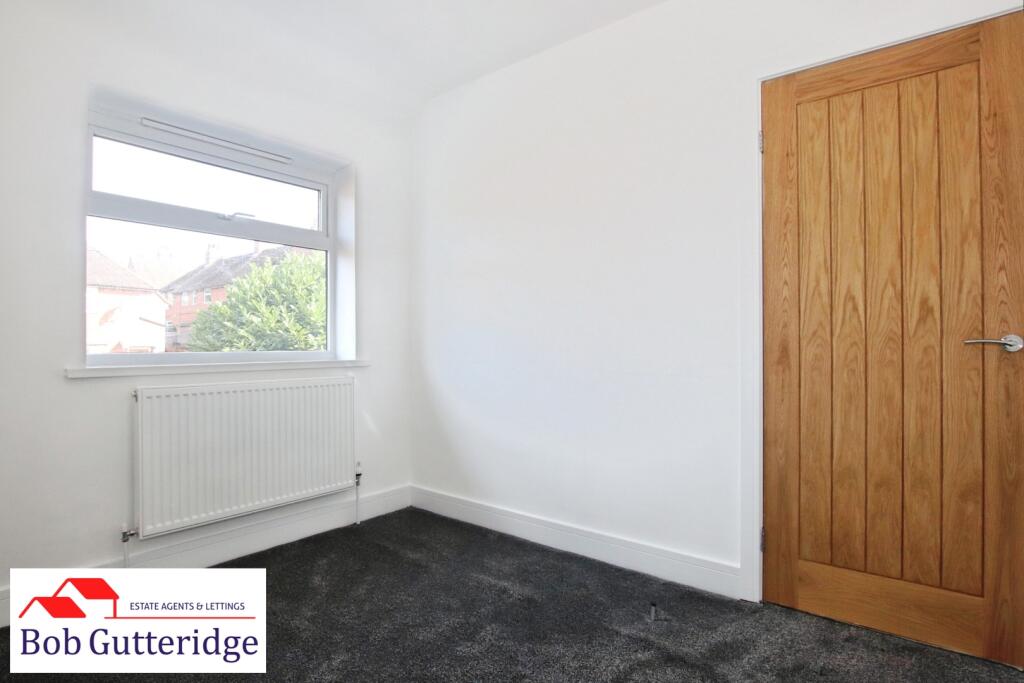
Bedroom One (Rear) - 3.12m x 2.87m (10'3" x 9'5") - With Upvc double glazed window to rear, LED light fitting, panelled radiator and power points.
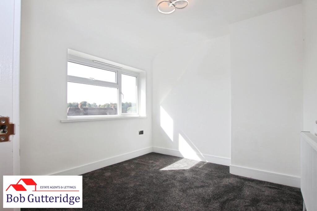
Bedroom Two (Front) - 2.90m x 2.97m (9'6" x 9'9") - With Upvc double glazed window to front, LED light fitting, panelled radiator and power points.
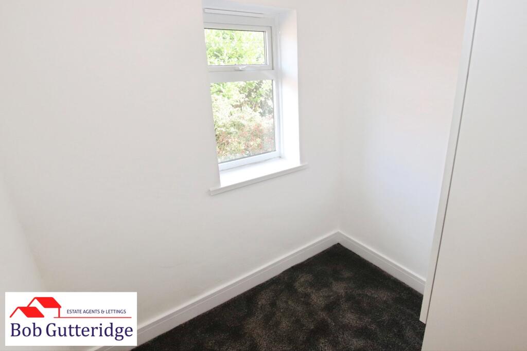
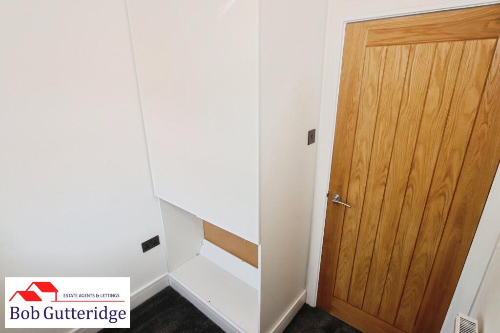
Dressing Room / Study - 1.98m x 1.80m (6'6" x 5'11") - With Upvc double glazed window to front, LED light fitting, panelled radiator, power points and built-in wardrobe providing ample domestic storage space.
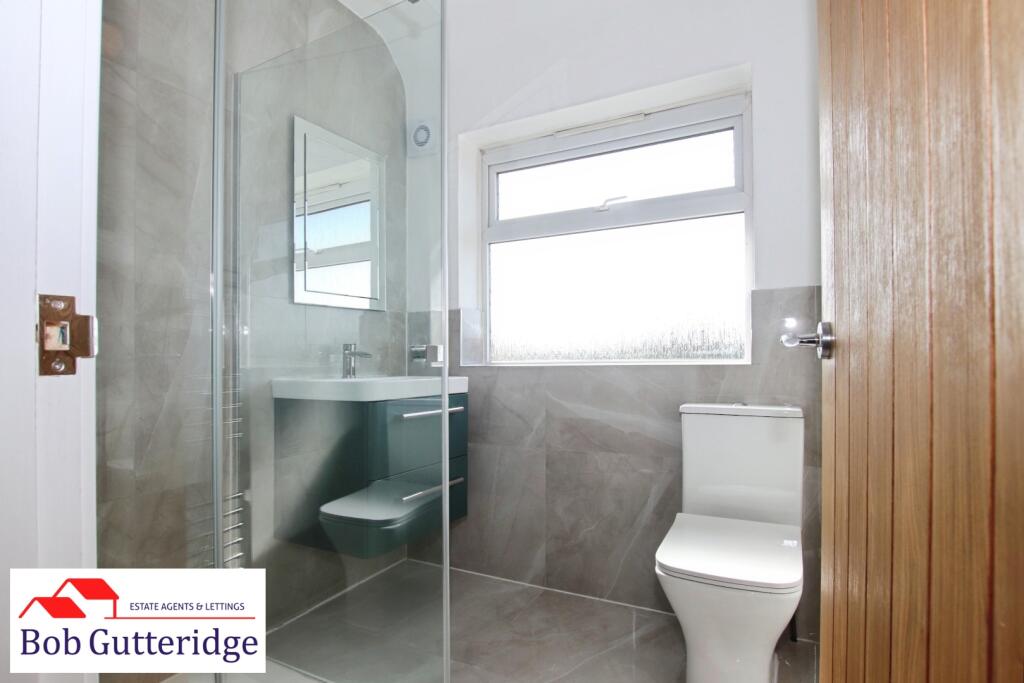
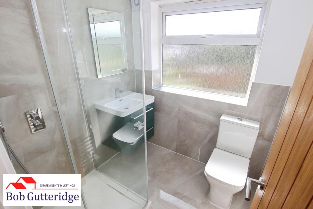
First Floor Shower Room - 1.78m x 1.80m (5'10" x 5'11") - With Upvc double glazed frosted window to rear, enclosed light fitting, Xpelair extractor fan, vertical chrome towel radiator, a white suite comprising low-level dual-flush WC, vanity sink unit with mixer tap above and walk-in glazed shower enclosure with thermostatic direct-flow shower unit, ceramic floor tiling and splashback tiling.
Externally -
Foregarden - Bounded by concrete posts and timber fencing with stone flag paving and metallic front access gate.
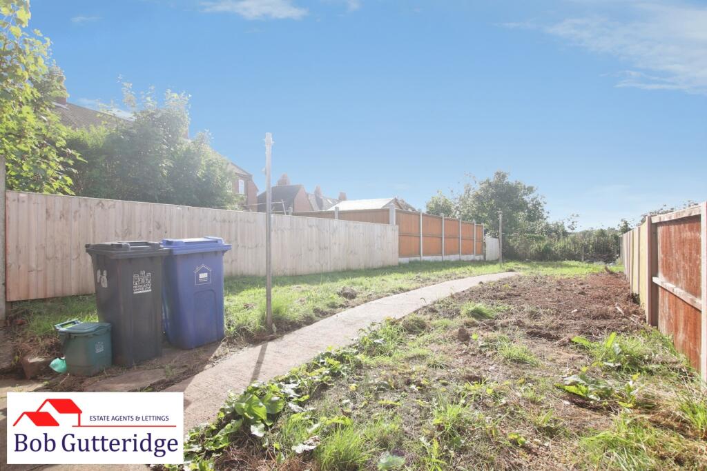
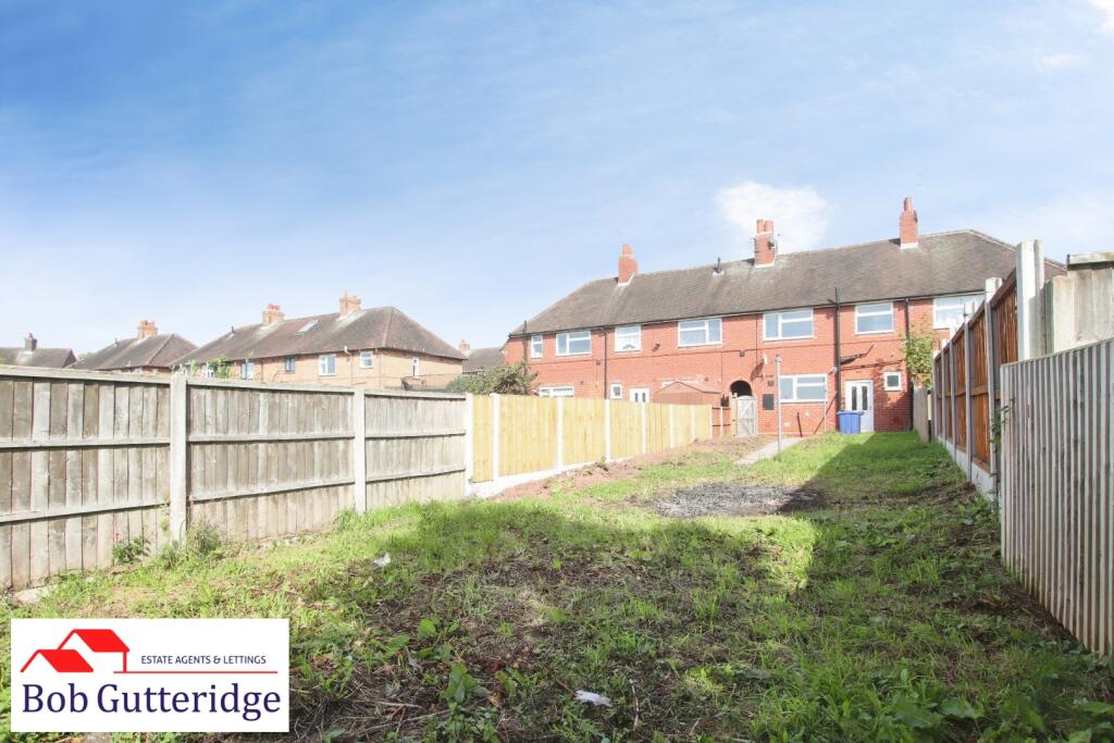
Enclosed Rear Garden - Bounded by concrete posts and timber fencing with concrete paving and patio area, generous lawn and timber front access gate.
Council Tax - Band 'A' amount payable to Newcastle-under-Lyme Borough Council.
Services - Main services of gas, electricity, water and drainage are connected.
Terms - The property is offered to let at £800.00 per calendar month exclusive of council tax, utilities and all other normal outgoings. A deposit of £923.07 will be taken against damage/breakages etc.
The tenant will be expected to pay a holding deposit of £184.61 which, subject to successful referencing, will form part of the rent. The holding deposit will be forfeit if certain conditions are not met by the applicant as per the Tenant Fees Act 2019, further details can be obtained from the Agent prior to applying. Smoking is not permitted.
Before you are granted a tenancy, you will have to demonstrate your Right to Rent in the UK as introduced by the Immigration Act 2014.
Viewing - Strictly by appointment with the Agents at 2 Watlands View, Porthill, Newcastle, Staffs, ST5 8AA. Telephone number: .
Listed by
Newcastle Under Lyme
Bob Gutteridge
Reference: 93710616
EPC ratings on this postcode
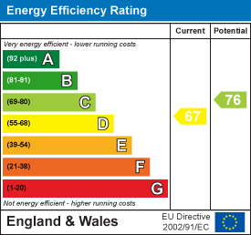
We don't have a matched EPC for this property yet. Below are efficiency scores and details for other addresses on this postcode.
| Address | Current | Potential | Floor area | Age band | Type |
|---|---|---|---|---|---|
| 1 Brittain Avenue, NEWCASTLE | 68 | 82 | 70 m² | England and Wales: 1950-1966 | Terraced |
| 10, Brittain Avenue, NEWCASTLE | 65 | 82 | 61 m² | England and Wales: 1930-1949 | Terraced |
| 11 Brittain Avenue, NEWCASTLE | 67 | 84 | 85 m² | England and Wales: 1950-1966 | Terraced |
| 12 Brittain Avenue, NEWCASTLE | 64 | 80 | 93 m² | England and Wales: 1950-1966 | Terraced |
| 14, Brittain Avenue, NEWCASTLE | 61 | 87 | 94 m² | England and Wales: 1930-1949 | Terraced |
| 18 Brittain Avenue, NEWCASTLE | 72 | 86 | 72 m² | England and Wales: 1950-1966 | Terraced |
| 18 Brittain Avenue, NEWCASTLE | 54 | 79 | 72 m² | England and Wales: 1950-1966 | Terraced |
| 19 Brittain Avenue, Newcastle | 72 | 86 | 72 m² | England and Wales: 1950-1966 | Detached |
| 19 Brittain Avenue, NEWCASTLE | 54 | 79 | 72 m² | England and Wales: 1950-1966 | Detached |
| 2, Brittain Avenue, NEWCASTLE | 59 | 76 | 68 m² | England and Wales: 1930-1949 | Terraced |
| 22 Brittain Avenue, NEWCASTLE | 72 | 86 | 72 m² | England and Wales: 1950-1966 | Detached |
| 22 Brittain Avenue, NEWCASTLE | 54 | 80 | 71 m² | England and Wales: 1950-1966 | Detached |
| 24 Brittain Avenue, Newcastle | 72 | 86 | 75 m² | England and Wales: 1950-1966 | Detached |
| 24 Brittain Avenue, NEWCASTLE | 54 | 79 | 75 m² | England and Wales: 1950-1966 | Detached |
| 24, Brittain Avenue, NEWCASTLE | 70 | 82 | 144 m² | England and Wales: 1967-1975 | Detached |
Flood risk
Zone: 1
Risk: Low
Job (default Low)
Registered land (INSPIRE)
This location falls inside an HM Land Registry INSPIRE registered freehold polygon.
Plot: ~227 m² (0.06 acres)
Source: HM Land Registry INSPIRE Index Polygons.
Floorplans
Floorplan.jpg
EPC Graphs
EE Rating
Rental Range
Estimated market rent for Newcastle-under-Lyme. Low = conservative, Realistic = average, Optimistic = best case.
Based on Local Authority from postcode lookup → Newcastle-under-Lyme.
LHA (30th percentile) floor for Staffordshire North: £593/mo (Apr 2025 – Mar 2026)
Location
Address
Brittain Avenue
Nearby
Nearest stations, universities and amenities (distance from property).
| Type | Name | Distance |
|---|---|---|
| Bus stop | Brittain Avenue | 0.0 miles |
| Shop | Longstaff Cycles | 0.2 miles |
| Shop | Samsung Support Centre | 0.5 miles |
| Train station | Apedale Road | 0.9 miles |
| Train station | Silverdale | 1.0 miles |
| Hospital | Haywood Hospital Walk-in Centre | 2.6 miles |
| Hospital | Royal Stoke University Hospital | 2.8 miles |
| University | Keele University | 2.9 miles |
| University | University of Buckingham Crewe Campus | 8.2 miles |
Street-level crime
| Category | Count |
|---|---|
| Violence and sexual offences | 65 |
| Anti-social behaviour | 37 |
| Public order | 16 |
| Criminal damage and arson | 8 |
| Shoplifting | 7 |
| Burglary | 6 |
| Other theft | 6 |
| Drugs | 5 |
| Other crime | 5 |
| Possession of weapons | 2 |
| Vehicle crime | 2 |
| Bicycle theft | 1 |
| Robbery | 1 |
| Total incidents | 161 |
Within 1 mile during Aug 2026. Source: data.police.uk (England & Wales).
Schools nearby
Nearest open schools with Ofsted ratings (England). Closed schools are not shown. Data from Get Information about Schools and Ofsted.
| Name | Type | Distance | Ofsted |
|---|---|---|---|
| Chesterton Primary School | Primary | 0.1 miles | Good — 8 Jul 2021 |
| Churchfields Primary School | Primary | 0.2 miles | Outstanding — 15 Sep 2015 |
| Chesterton Community Sports College | Secondary | 0.4 miles | Good — 13 Nov 2022 |
| Sun Academy Bradwell | Primary | 0.4 miles | Good — 11 Sep 2018 |
| Crackley Bank Primary School | Primary | 0.6 miles | Good — 21 May 2023 |
Rental Comparables
Residential lets from OpenRent and Rightmove for the area (same bedroom count). Use to validate rent estimates. Student lets are excluded.
Average rent: £971/mo (33 listings)
Enter House Number
Enter the house number to help us retrieve more accurate pricing history and property data.
Please log in to submit or correct the house number for this listing.
Log in to continue