APARTMENT 19
52 HERIOT STREET, LIVERPOOL, MERSEYSIDE L5 7AA
£800 pcm
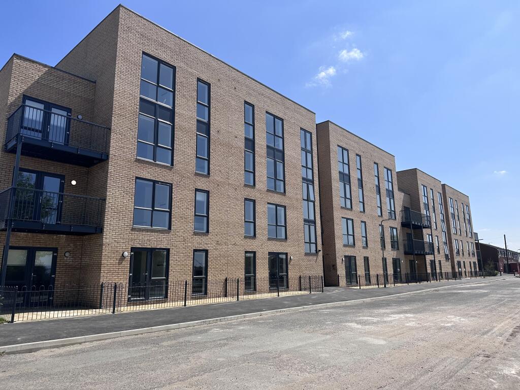
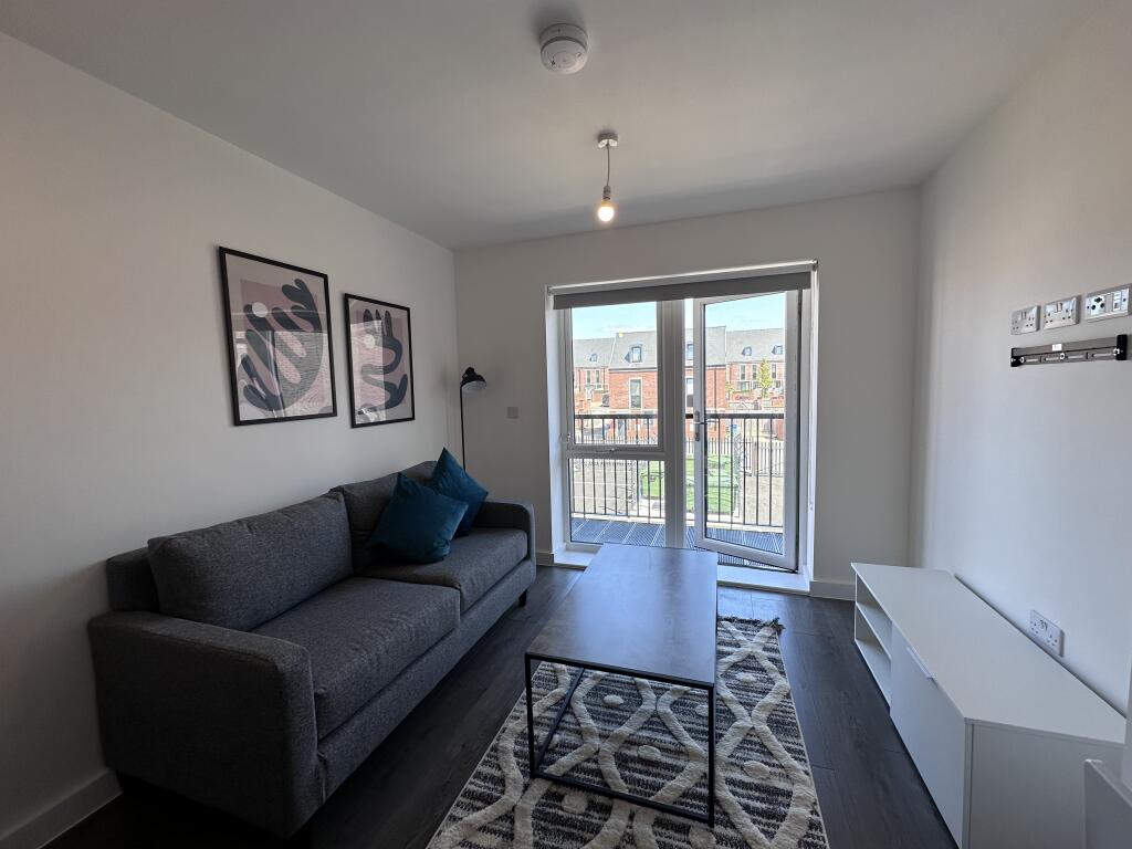
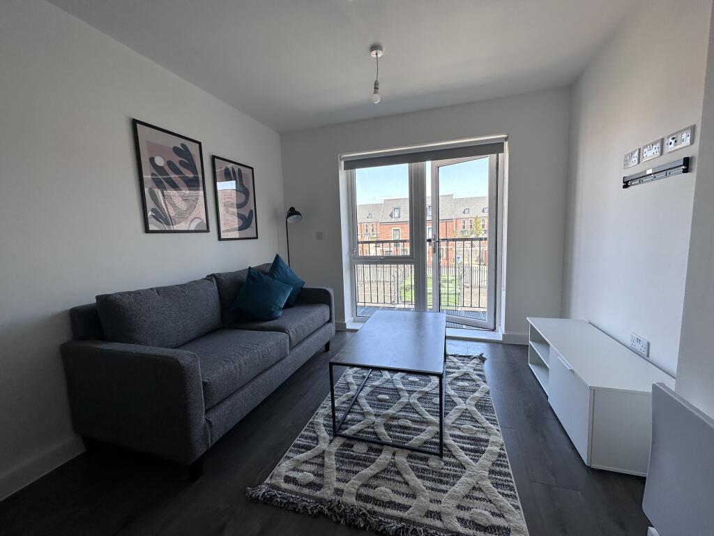
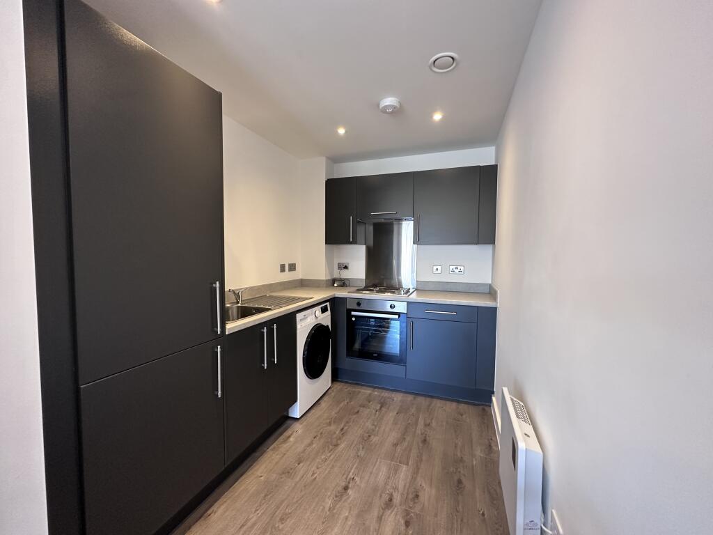

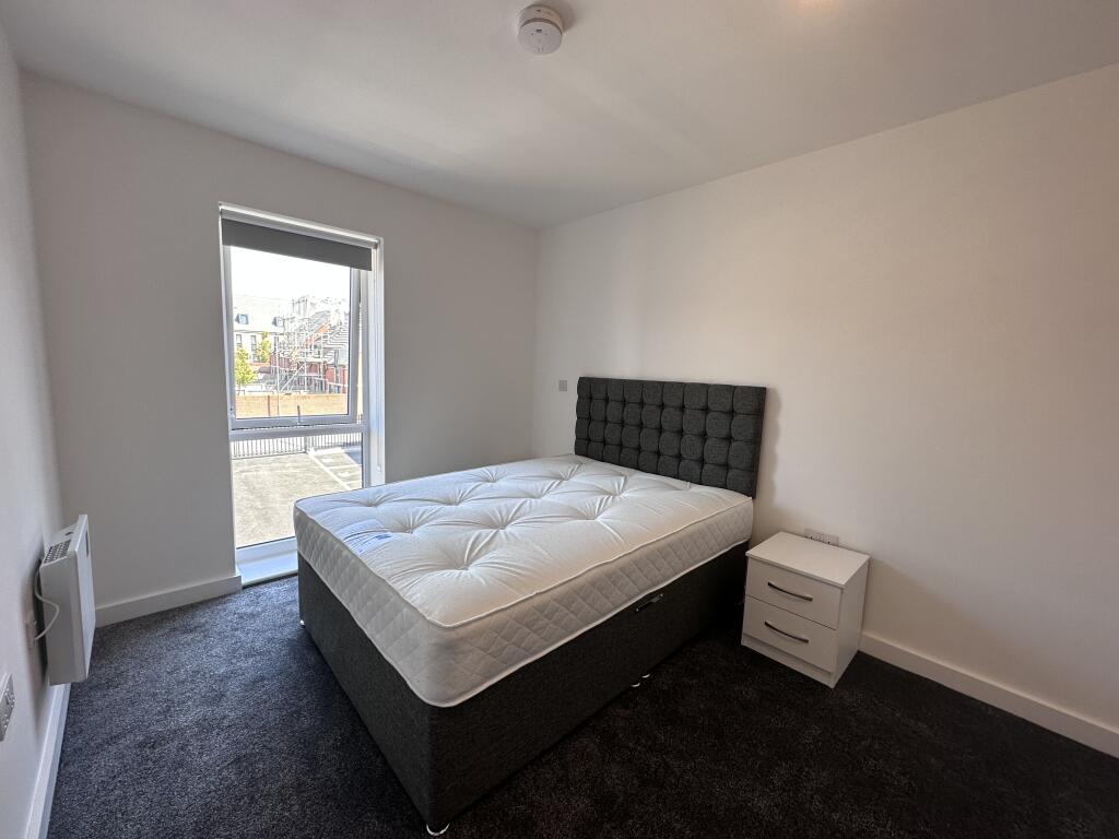
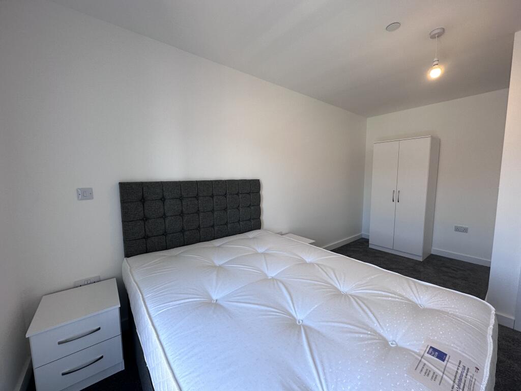
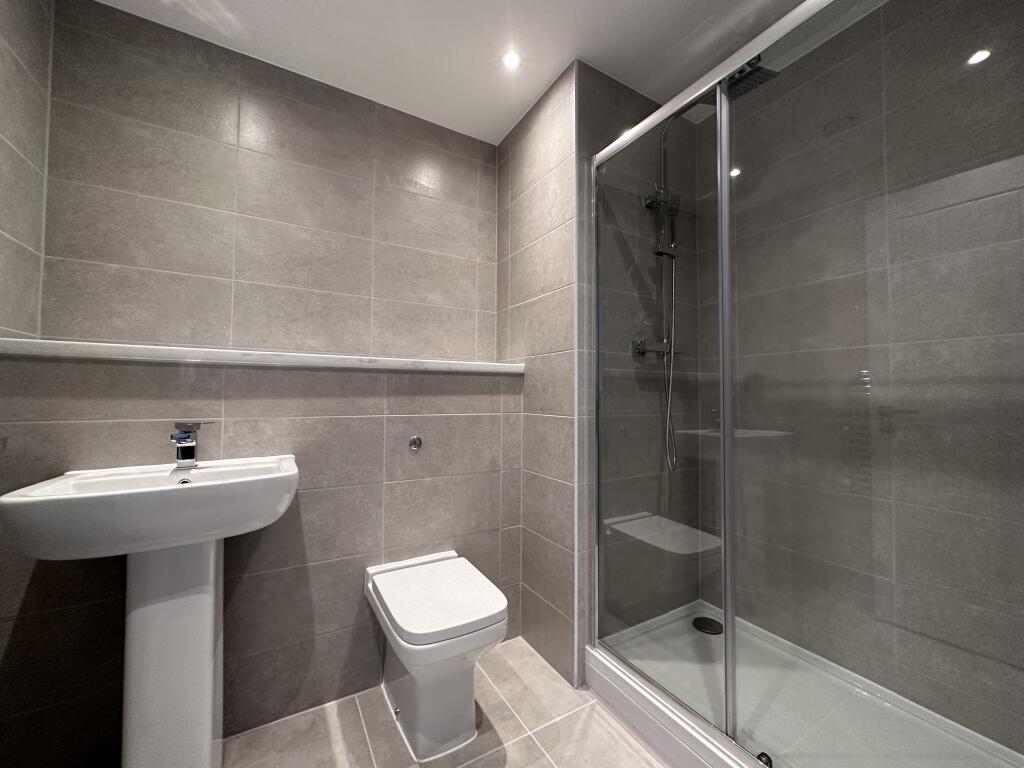
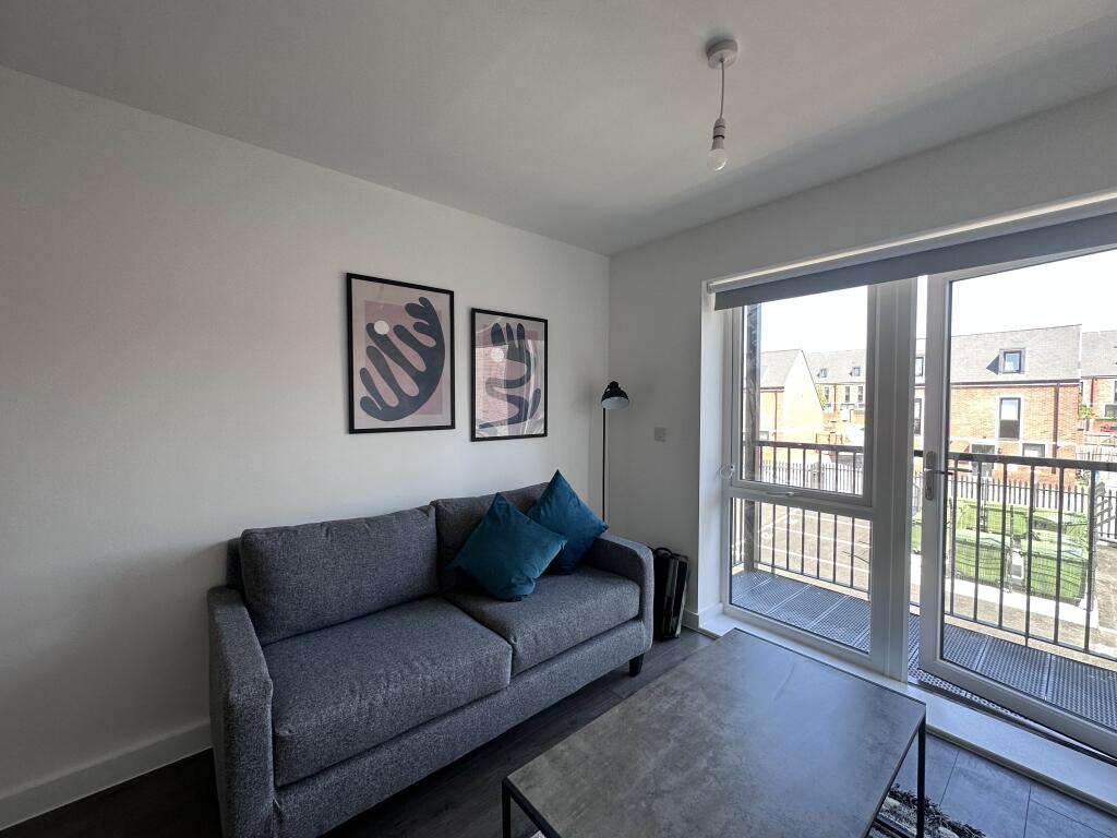
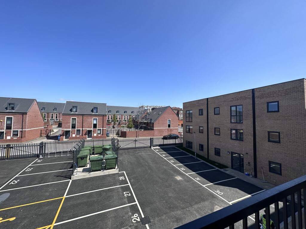
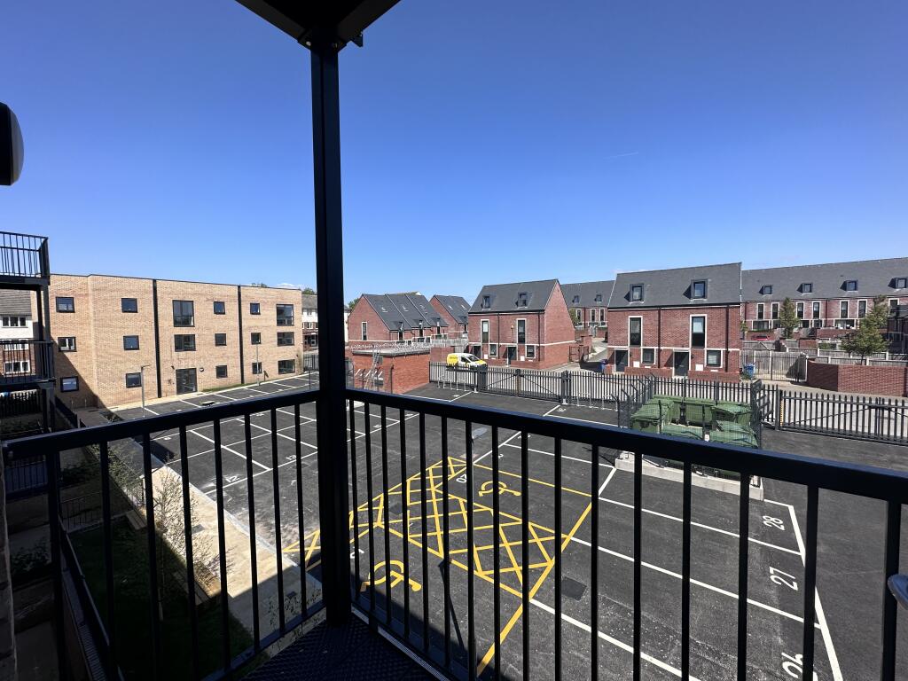
Photo 1 Photo 2 Photo 3 Photo 4 Photo 5 Photo 6 Photo 7 Photo 8 Photo 9 Photo 10 Photo 11
/ 11
Property details
Street crime
541 incidents within 1 mile (Apr 2026)
Description
- SMART TV included
-All Appliances come with a 2 year warranty.
-Great Transport links, bus routes in and out the city plus Sandhills Train station a couple of minute walk away
-Large balcony
Council band A
EPC - B
Listed by
Manchester
Cert Residential Property Management Limited
Reference: 161554817
Flood risk
Zone: 1
Risk: Low
Job (default Low)
Rental Range
Estimated market rent for North West. Low = conservative, Realistic = average, Optimistic = best case.
Based on Postcode area L → North West.
LHA (30th percentile) floor for Greater Liverpool: £499/mo (Apr 2025 – Mar 2026)
Location
Nearby
Nearest stations, universities and amenities (distance from property).
| Type | Name | Distance |
|---|---|---|
| Shop | Kirkdale General Store | 0.1 miles |
| Bus stop | STANLEY ROAD/BOUNDARY STREET | 0.1 miles |
| Bus stop | STANLEY ROAD/STERLING WAY | 0.1 miles |
| Shop | MP Food News & Wine Store | 0.2 miles |
| Train station | Sandhills | 0.3 miles |
| Train station | Bank Hall | 0.7 miles |
| Hospital | Rathbone Hospital | 3.2 miles |
| Hospital | DRIVE THROUGH PHLEBOTOMY | 3.4 miles |
| University | University of Liverpool Leahurst Veterinary School | 9.7 miles |
| University | Edge Hill University | 10.2 miles |
Street-level crime
| Category | Count |
|---|---|
| Violence and sexual offences | 183 |
| Public order | 62 |
| Anti-social behaviour | 58 |
| Shoplifting | 58 |
| Drugs | 54 |
| Criminal damage and arson | 42 |
| Vehicle crime | 24 |
| Other theft | 20 |
| Other crime | 17 |
| Burglary | 10 |
| Possession of weapons | 6 |
| Bicycle theft | 3 |
| Robbery | 2 |
| Theft from the person | 2 |
| Total incidents | 541 |
Within 1 mile during Apr 2026. Source: data.police.uk (England & Wales).
Schools nearby
Nearest open schools with Ofsted ratings (England). Closed schools are not shown. Data from Get Information about Schools and Ofsted.
| Name | Type | Distance | Ofsted |
|---|---|---|---|
| Notre Dame Catholic Academy | Secondary | 0.3 miles | Requires improvement — 17 Jul 2022 |
| Our Lady Immaculate Catholic Primary School | Primary | 0.5 miles | Good — 21 Nov 2023 |
| St John's Catholic Primary School | Primary | 0.5 miles | — (Inspected (no overall grade)) |
| The Trinity Catholic Academy | Primary | 0.5 miles | Inadequate — 13 May 2019 |
| The Beacon Church of England Primary School | Primary | 0.6 miles | Outstanding — 20 Mar 2014 |
Rental Comparables
Residential lets from OpenRent and Rightmove for the area (same bedroom count). Use to validate rent estimates. Student lets are excluded.
| Title | Rent | Beds | Distance | As seen on |
|---|---|---|---|---|
| 54 Heriot Street, Liverpool | £775/mo | 1 | 0.06 miles | Rightmove |
| 1 Bed Flat, Walton Road, L4 | £620/mo | 1 | 0.72 miles | OpenRent |
Average rent: £698/mo (2 listings)