Maer
Maer Estate Cottages, ST5, ST5 5EF
£1,250 pcm
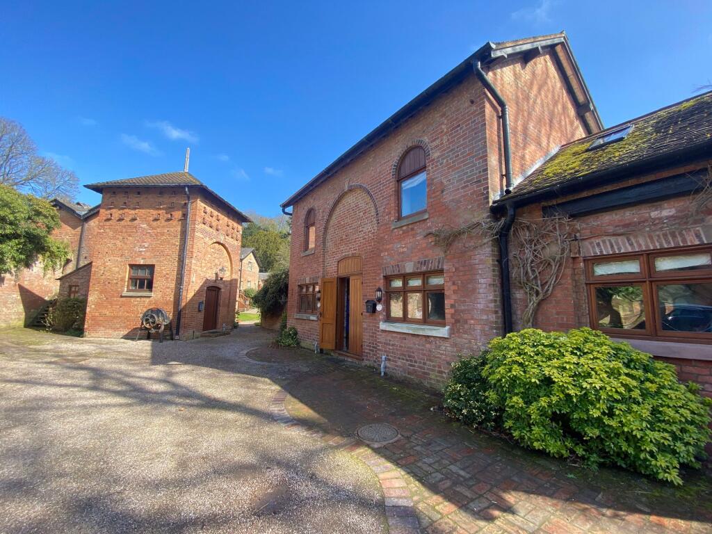
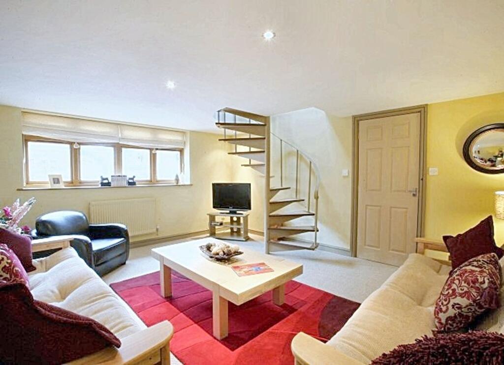
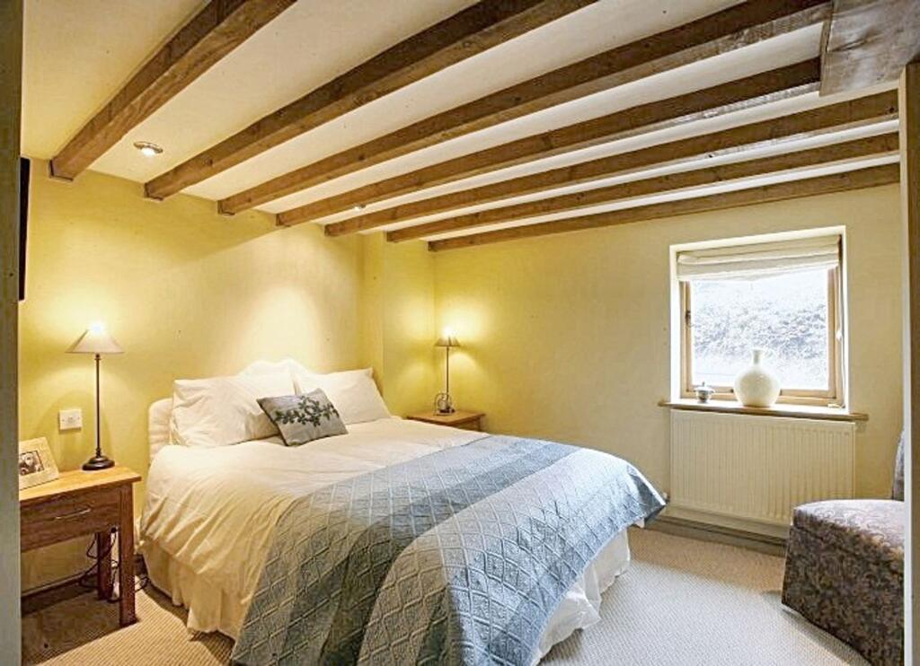
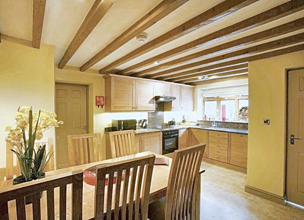
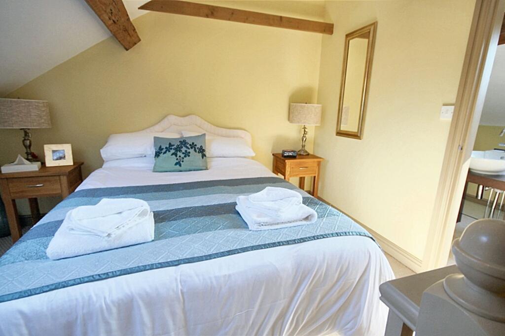
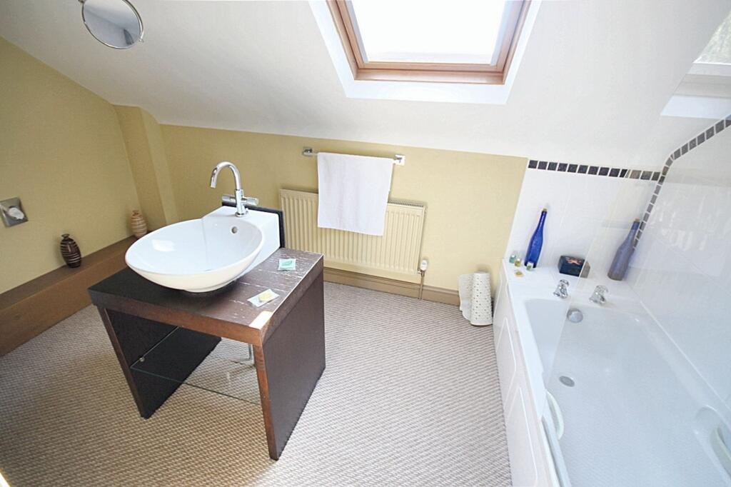
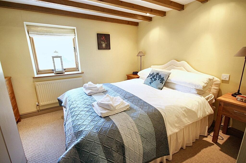
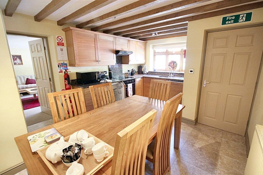
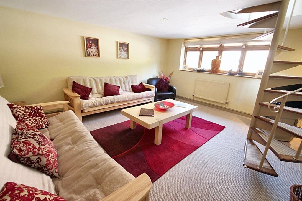
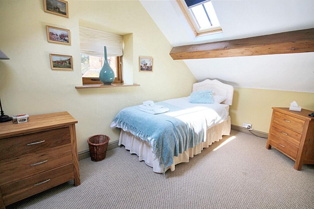
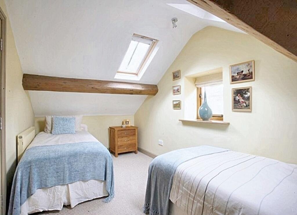
Photo 1 Photo 2 Photo 3 Photo 4 Photo 5 Photo 6 Photo 7 Photo 8 Photo 9 Photo 10 Photo 11
/ 11
Property details
Council tax band
C
Deprivation
Decile 8 (24,560 of 33,755)
Street crime
1 incident within 1 mile (May 2026)
Key features
- Modern kitchen units and open plan living
- Spiral staircase and exposed beams
- Charming character with modern finishes
- Located in the Maer Hall Estate within a rural setting but in easy reach of Newcastle Under Lyme and Royal Stoke Hospital
- Full references will be taken at the point of application
Additional details
- Parking
- Yes
- Listed property
- No
- Restrictions
- No
- Required access
- No
- Rights of way
- No
- Flooded in last 5 years
- No
- Flood defences
- No
Description
But wait, there’s more! Imagine unwinding in a lush bath, dappled with sunlight from above, or retreating to your cosy bedroom oasis (en-suite included for that touch of hotel luxury). Outside is one allocated parking space. Come and experience the delights of this fabulous character cottage in a truly stunning location. Please note there is no garden to the property.
There are additional Water and Sewerage charges of £55 per month
Listed by
Eccleshall
James Du Pavey Ltd
Reference: 174963239
EPC ratings on this postcode
We don't have a matched EPC for this property yet. Below are efficiency scores and details for other addresses on this postcode.
| Address | Current | Potential | Floor area | Age band | Type |
|---|---|---|---|---|---|
| 1 Plum Park, Maer, NEWCASTLE | 21 | 58 | 79 m² | England and Wales: 1930-1949 | Detached |
| 1 Stable Cottage, Maer Hall Estate, Maer | 43 | 72 | 97 m² | England and Wales: 1900-1929 | Flat |
| 1 Weston Meres Cottage, Maer, NEWCASTLE | 51 | 81 | 179 m² | England and Wales: 1900-1929 | Detached |
| 2 Lees Yard, Maer, NEWCASTLE | 70 | 81 | 220 m² | — | Detached |
| 2 Plum Park, Maer, NEWCASTLE | 67 | 91 | 79 m² | England and Wales: 1930-1949 | Detached |
| 2 Stable Cottage, Maer Hall Estate, Maer | 31 | 65 | 73 m² | England and Wales: 1900-1929 | Flat |
| 3 Keeper's Cottage, Old Estate Yard, Maer Estate, Maer | 66 | 77 | 118 m² | England and Wales: 1996-2002 | Terraced |
| 3 Stable Cottage, Maer Hall Estate, Maer | 44 | 47 | 63 m² | England and Wales: 2007-2011 | Flat |
| 4 Woodman's Cottage, Old Estate Yard, Maer Estate, Maer | 59 | 92 | 49 m² | England and Wales: before 1900 | Terraced |
| 5 Maer Village, Maer, NEWCASTLE | 52 | 82 | 85 m² | England and Wales: before 1900 | Detached |
| 5 Maer Village, Maer, NEWCASTLE | 54 | 89 | 89 m² | England and Wales: before 1900 | Detached |
| 6 Old Bothy, Old Estate Yard, Maer Estate, Maer | 68 | 86 | 52 m² | England and Wales: 2003-2006 | Terraced |
| 7 Gardener's Cottage, Old Estate Yard, Maer Estate, Maer | 72 | 92 | 43 m² | England and Wales: 2003-2006 | Terraced |
| 7 MAER VILLAGE, ROAD FROM A51 STONE ROAD TO CLAYALDERS BANK, MAER, NEWCASTLE UNDER LYME | 48 | 86 | 73 m² | England and Wales: 1900-1929 | Detached |
| 8 Coachman's Cottage, Old Estate Yard, Maer Estate, Maer | 38 | 80 | 81 m² | England and Wales: before 1900 | Terraced |
Flood risk
Zone: 1
Risk: Low
Job (default Low)
Rental Range
Estimated market rent for Newcastle-under-Lyme. Low = conservative, Realistic = average, Optimistic = best case.
Based on Local Authority from postcode lookup → Newcastle-under-Lyme.
LHA (30th percentile) floor for Staffordshire North: £593/mo (Apr 2025 – Mar 2026)
Location
Address
Clayalders Bank
Nearby
Nearest stations, universities and amenities (distance from property).
| Type | Name | Distance |
|---|---|---|
| Bus stop | War Memorial | 0.5 miles |
| Shop | Slater's Craft Village | 0.7 miles |
| Shop | Don Law Racing | 1.0 miles |
| University | Keele University | 4.6 miles |
| Train station | Unknown | 4.8 miles |
| Train station | Trentham Leisure | 4.9 miles |
| Hospital | North Staffordshire Nuffield Hospital | 4.9 miles |
| Hospital | Harplands Hospital | 5.9 miles |
| University | University of Staffordshire Stoke Campus | 7.2 miles |
Street-level crime
| Category | Count |
|---|---|
| Drugs | 1 |
| Total incidents | 1 |
Within 1 mile during May 2026. Source: data.police.uk (England & Wales).
Schools nearby
Nearest open schools with Ofsted ratings (England). Closed schools are not shown. Data from Get Information about Schools and Ofsted.
| Name | Type | Distance | Ofsted |
|---|---|---|---|
| Baldwins Gate CofE(VC) Primary School | Primary | 1.3 miles | Good — 7 Nov 2012 |
| All Saints CofE (C) First School | Primary | 2.5 miles | Good — 19 Jan 2020 |
| Sir John Offley CofE (VC) Primary School | Primary | 4.1 miles | Good — 16 Mar 2023 |
| Madeley High School | Secondary | 4.4 miles | Good — 7 Feb 2013 |
| St John's CofE (C) Primary School | Primary | 4.7 miles | Requires improvement — 13 Jul 2023 |
Rental Comparables
Residential lets from OpenRent and Rightmove for the area (same bedroom count). Use to validate rent estimates. Student lets are excluded.
Average rent: £1,128/mo (34 listings)
Enter House Number
Enter the house number to help us retrieve more accurate pricing history and property data.
Please log in to submit or correct the house number for this listing.
Log in to continue