WA15 9AH
WA15 9AH
Picture No. 15 Picture No. 03 Picture No. 05 Picture No. 13 Picture No. 14 Picture No. 12 Picture No. 16 Picture No. 08 Picture No. 07 Picture No. 09 Picture No. 11 Picture No. 17 Picture No. 18 Picture No. 06 Picture No. 19 Picture No. 20 Picture No. 22 Picture No. 25 Picture No. 23 Picture No. 24 Picture No. 27 Picture No. 28 Picture No. 29 Picture No. 30 Picture No. 31 Picture No. 33 Picture No. 34 Picture No. 35 Picture No. 32 Picture No. 36 Picture No. 38 Picture No. 40 Picture No. 41 Picture No. 44 Picture No. 43 Picture No. 02
/ 36
Property details
Tenure
FREEHOLD
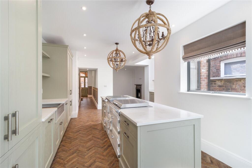
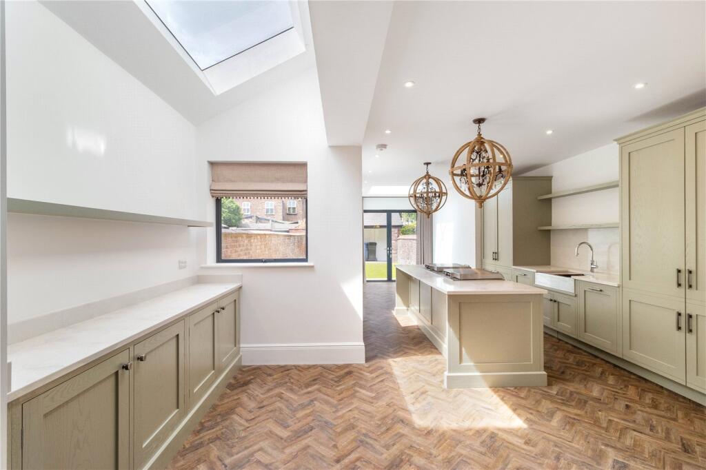
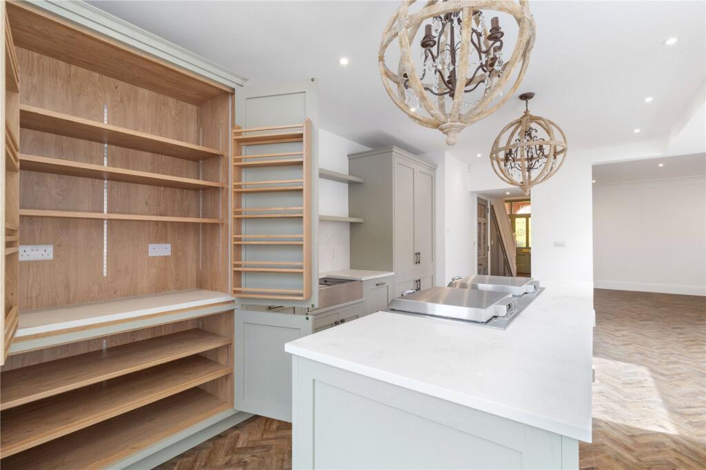
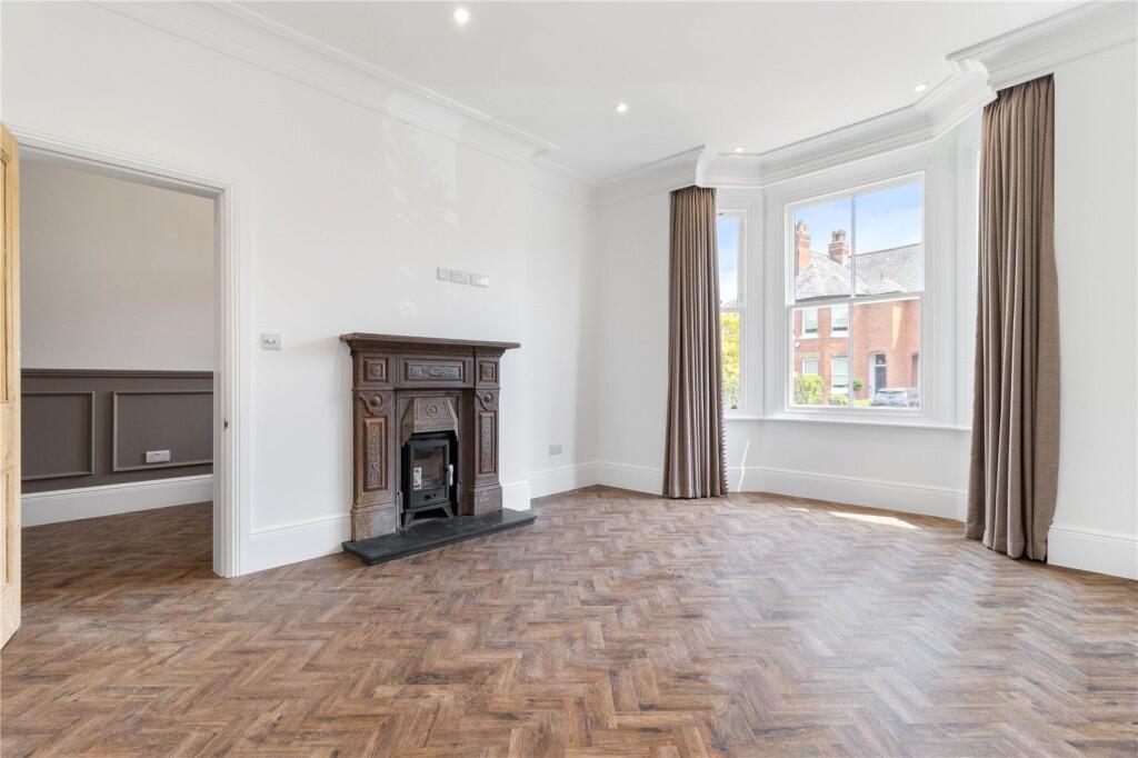
Floor area
171 m²
Council tax band
E
Deprivation
Decile 9 (27,745 of 33,755)
Flood risk
Zone: 1
Risk: Low
Not in Flood Risk Area (no data)
Floorplans
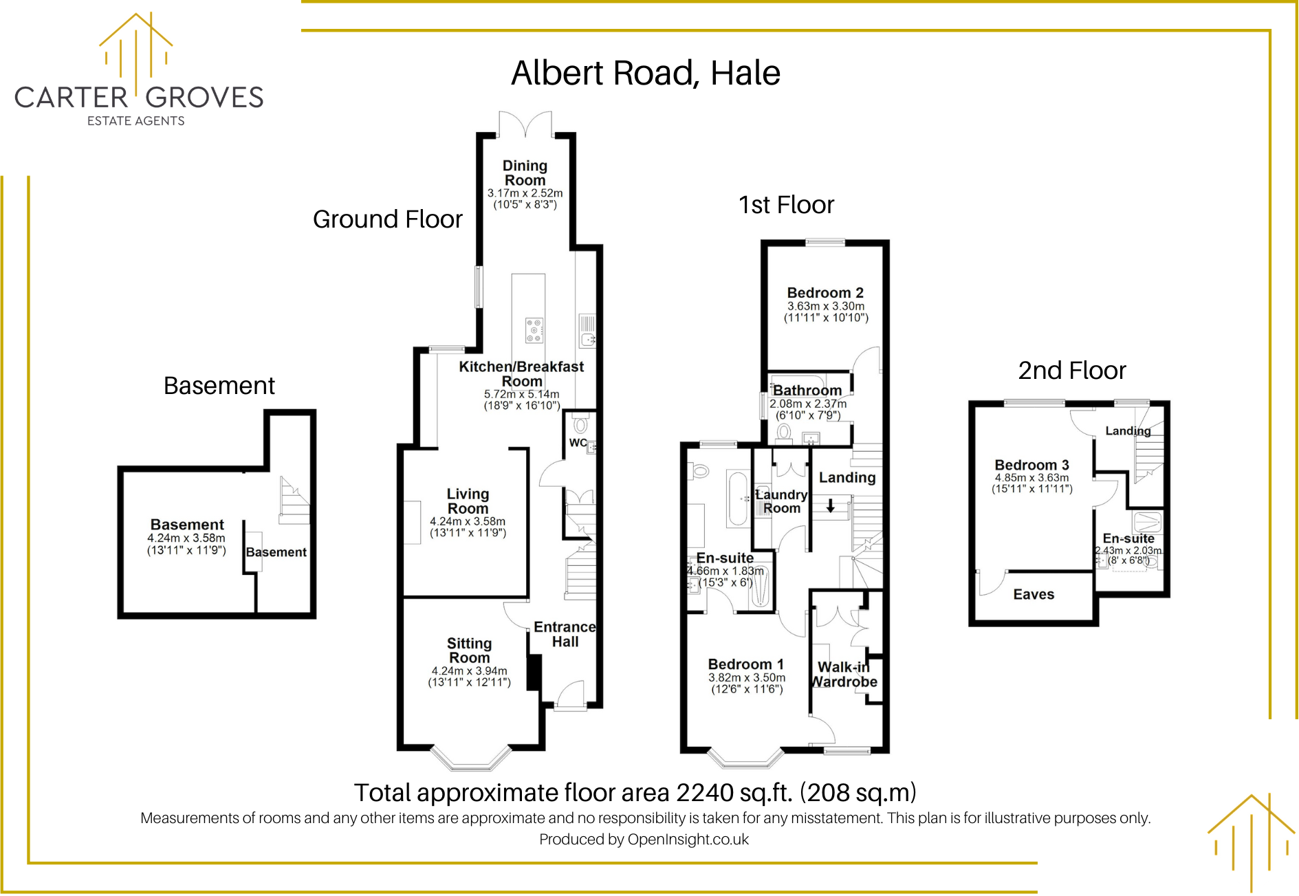
Floorplan
Price history
No sales history found for this property in Land Registry Price Paid data.
Sold Comparables
Same street and nearby sales within 0.25 miles (last 5 years). Data from Land Registry Price Paid.
| Address | Price | Date | Type |
|---|---|---|---|
| 31 ALBERT ROAD, HALE, ALTRINCHAM, TRAFFORD, GREATER MANCHESTER, WA15 9AH | £1,220,000 | 18/12/2025 | Terraced |
| 9 ALBERT ROAD, HALE, ALTRINCHAM, TRAFFORD, GREATER MANCHESTER, WA15 9AH | £725,000 | 06/08/2022 | Semi-detached |
| 47A ALBERT ROAD, HALE, ALTRINCHAM, TRAFFORD, GREATER MANCHESTER, WA15 9AH | £990,000 | 15/07/2022 | Detached |
| 47 ALBERT ROAD, HALE, ALTRINCHAM, TRAFFORD, GREATER MANCHESTER, WA15 9AH | £1,010,500 | 18/03/2022 | Detached |
Area average: £986,375 (4 sales)
Capital growth trend
Land Registry outcode average: last 12 months vs 5y and 10y ago (from sold prices).
House Price Index (HM Land Registry — official index, not sold-price averages): Trafford. Series: All dwelling types. As of March 2026.
Rental Range
Estimated market rent for Trafford. Low = conservative, Realistic = average, Optimistic = best case.
Based on Local Authority from postcode lookup → Trafford.
LHA (30th percentile) floor for North Cumbria: £588/mo (Apr 2025 – Mar 2026)
Location
Nearby
Nearest stations, universities and amenities (distance from property).
| Type | Name | Distance |
|---|---|---|
| Bus stop | Hale, Hale Road / opposite Broom Road | 0.1 miles |
| Bus stop | Altrincham, Hale Road / at Railway Bridge | 0.1 miles |
| Train station | Hale | 0.1 miles |
| Shop | G. S. Needham | 0.2 miles |
| Shop | Portland Wine | 0.2 miles |
| Hospital | Altrincham Hospital | 0.4 miles |
| Train station | Altrincham | 0.5 miles |
| Hospital | Altrincham Health and Wellbeing Centre | 0.5 miles |
| University | University Academy 92 | 5.9 miles |
| University | University of Salford | 6.7 miles |
Street-level crime
Crime data is not yet available for this property.
Rental Comparables
Residential lets from OpenRent and Rightmove for the area (same bedroom count). Use to validate rent estimates. Student lets are excluded.
| Title | Rent | Beds | As seen on |
|---|---|---|---|
| 3 Bed End Terrace, Moss Lane, WA15 | £1,550/mo | 3 | OpenRent |
| 3 Bed Detached House, Sandileigh Drive, WA15 | £7,500/mo | 3 | OpenRent |
Average rent: £4,525/mo (2 listings)