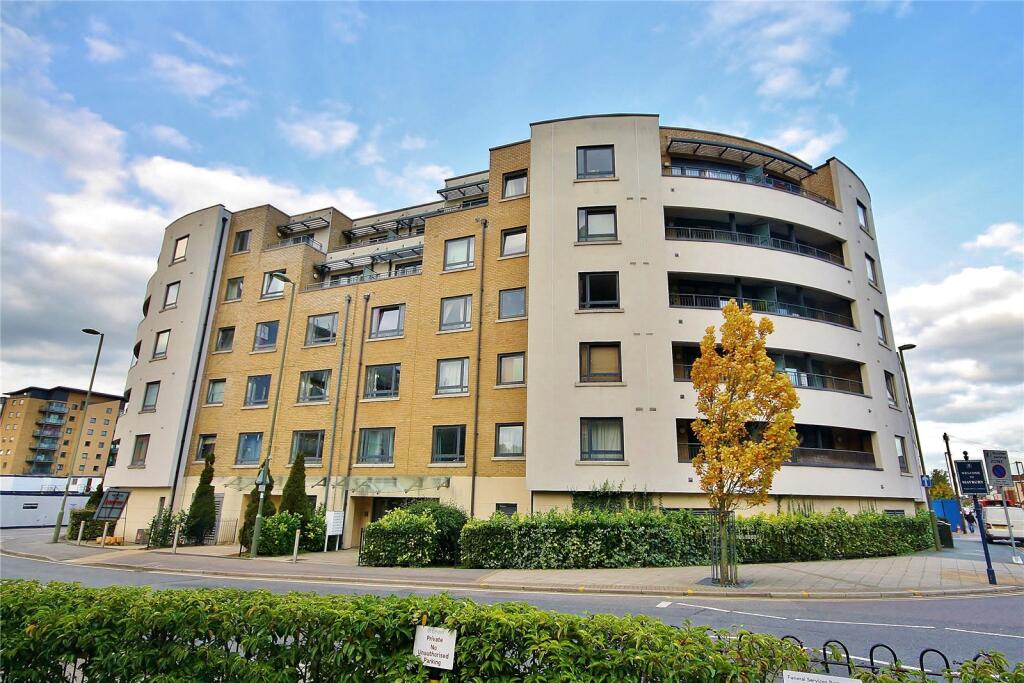
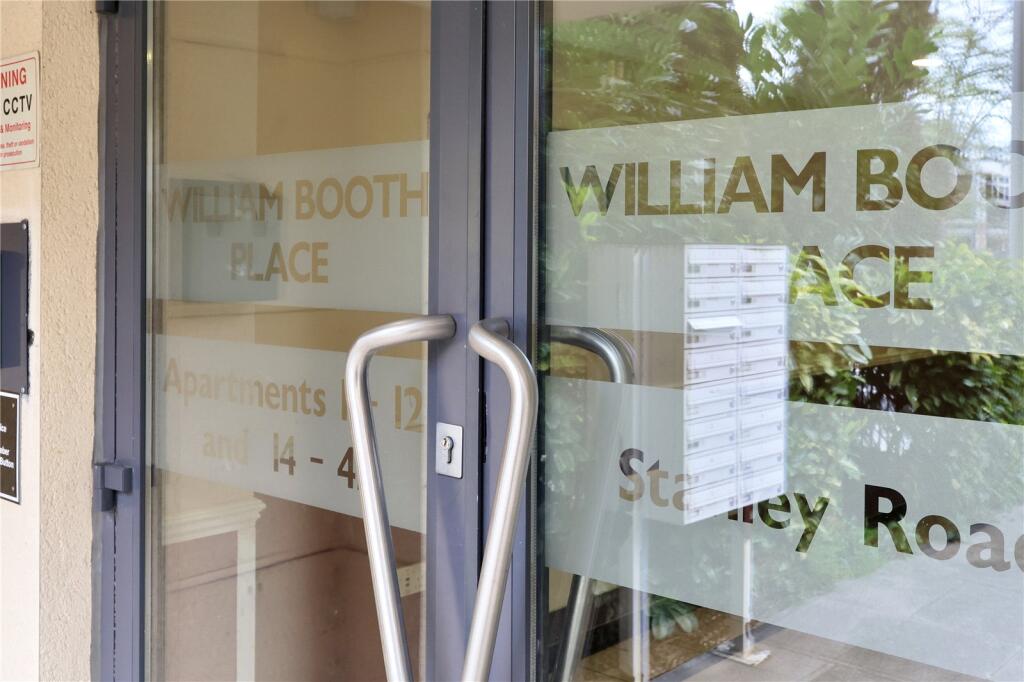
Flat 21
WILLIAM BOOTH PLACE, STANLEY ROAD, WOKING, SURREY GU21 5EW
£1,300 pcm


Property details
Floor area
47 m²
Council tax band
C
Deprivation
Decile 4 (10,452 of 33,755)
Street crime
239 incidents within 1 mile (Apr 2026)
Key features
- Walking distance to Woking Train Station
- Proximity to the town center and local amenities
- Recently refurbished to modern standards
- Bike storage
- Lift access
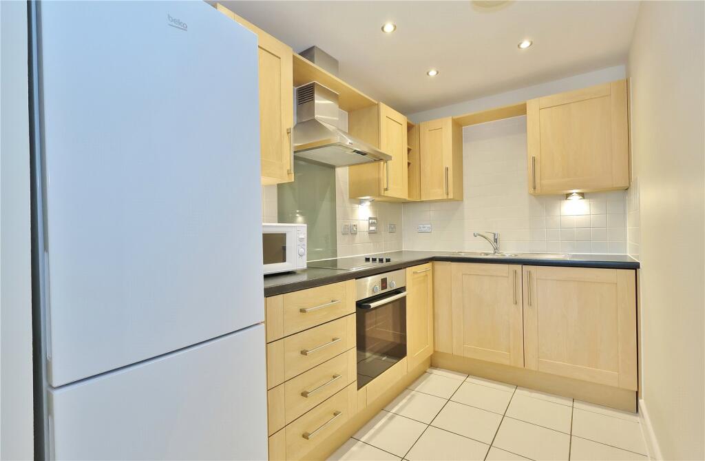
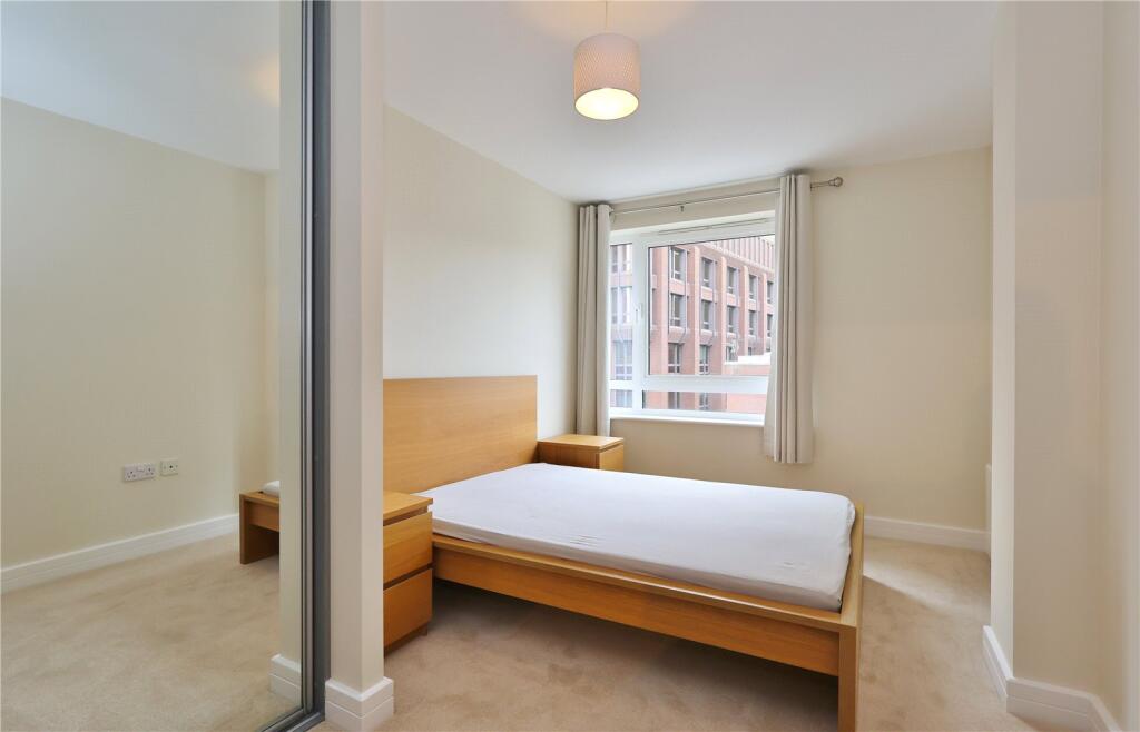
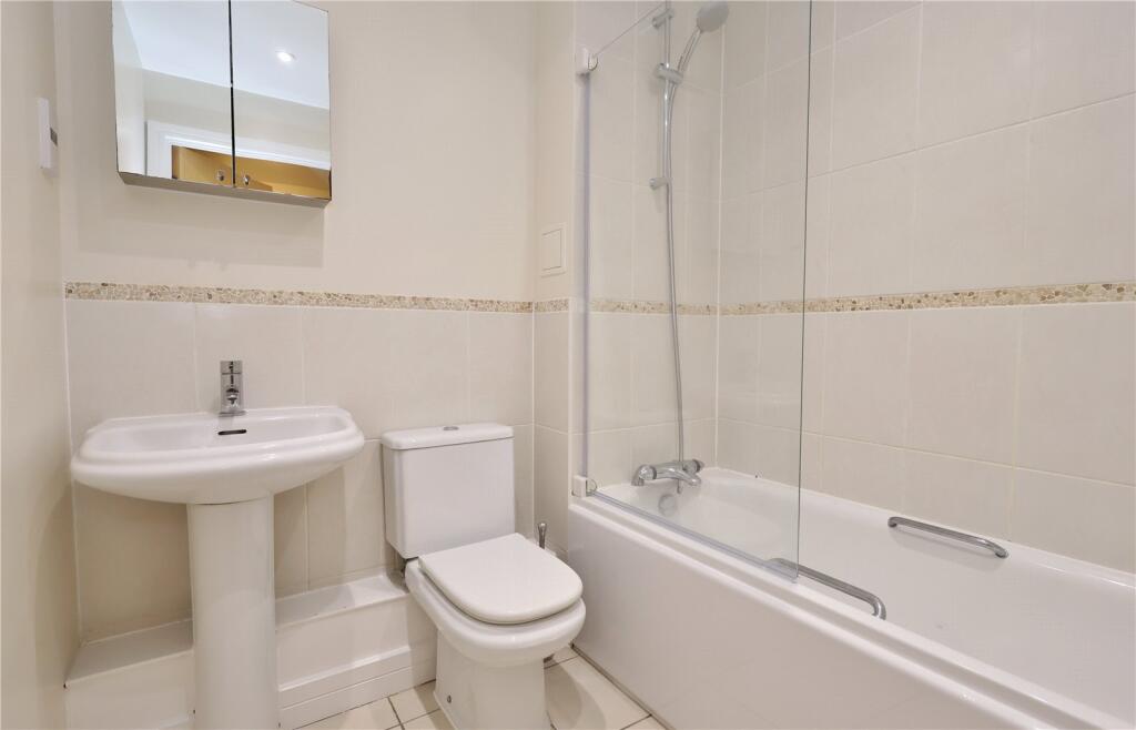
Description
Listed by
Woking
Bourne Estate Agents
Reference: 159175307
EPC ratings on this postcode
We don't have a matched EPC for this property yet. Below are efficiency scores and details for other addresses on this postcode.
| Address | Current | Potential | Floor area | Age band | Type |
|---|---|---|---|---|---|
| Flat 21 William Booth Place, Stanley Road, WOKING | 82 | 87 | 47 m² | England and Wales: 1996-2002 | Flat |
Flood risk
Zone: 1
Risk: Low
Job (default Low)
Floorplans
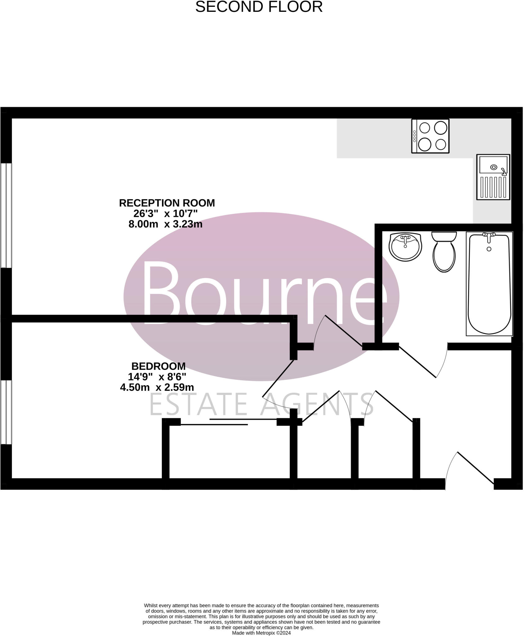
Floorplan
EPC Graphs
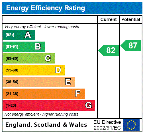
EPC Rating Graph
Rental Range
Estimated market rent for Woking. Low = conservative, Realistic = average, Optimistic = best case.
Based on Local Authority from postcode lookup → Woking.
LHA (30th percentile) floor for Guildford: £947/mo (Apr 2025 – Mar 2026)
Location
Address
Stanley Road
Nearby
Nearest stations, universities and amenities (distance from property).
| Type | Name | Distance |
|---|---|---|
| Shop | Oriental Massage & Herbs | 0.1 miles |
| Shop | Bom Beef | 0.1 miles |
| Bus stop | Board School Road | 0.1 miles |
| Bus stop | Woking Railway Station | 0.1 miles |
| Train station | Woking | 0.3 miles |
| Train station | West Byfleet | 2.5 miles |
| University | MySurrey Hive | 5.7 miles |
| University | University Hall | 5.7 miles |
| Hospital | Cobham Day Surgery | 6.4 miles |
| Hospital | Aldershot Centre for Health | 10.3 miles |
Street-level crime
| Category | Count |
|---|---|
| Violence and sexual offences | 83 |
| Anti-social behaviour | 58 |
| Shoplifting | 24 |
| Public order | 22 |
| Criminal damage and arson | 14 |
| Other theft | 11 |
| Vehicle crime | 6 |
| Drugs | 5 |
| Bicycle theft | 4 |
| Other crime | 4 |
| Burglary | 3 |
| Possession of weapons | 2 |
| Robbery | 2 |
| Theft from the person | 1 |
| Total incidents | 239 |
Within 1 mile during Apr 2026. Source: data.police.uk (England & Wales).
Schools nearby
Nearest open schools with Ofsted ratings (England). Closed schools are not shown. Data from Get Information about Schools and Ofsted.
| Name | Type | Distance | Ofsted |
|---|---|---|---|
| Maybury Primary School | Primary | 0.1 miles | Good — 21 Sep 2023 |
| The Park School | Other | 0.3 miles | — (Inspected (no overall grade)) |
| St Dunstan's Catholic Primary School, Woking | Primary | 0.3 miles | Outstanding — 15 Mar 2020 |
| Compass Community School Hampshire | Other | 0.4 miles | Outstanding — 8 Dec 2021 |
| Halstead St Andrews School | Other | 0.7 miles | — (No rating) |
Rental Comparables
Residential lets from OpenRent and Rightmove for the area (same bedroom count). Use to validate rent estimates. Student lets are excluded.
| Title | Rent | Beds | Distance | As seen on |
|---|---|---|---|---|
| 1 Bed Flat, High Street, GU21 | £1,200/mo | 1 | 0.34 miles | OpenRent |
Average rent: £1,200/mo (1 listing)
Enter House Number
Enter the house number to help us retrieve more accurate pricing history and property data.
Please log in to submit or correct the house number for this listing.
Log in to continue