Bradenham House
BRADENHAM PLACE, PENARTH, PENARTH, THE VALE OF GLAMORGAN CF64 2AG
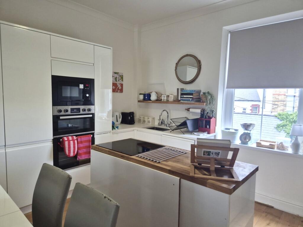
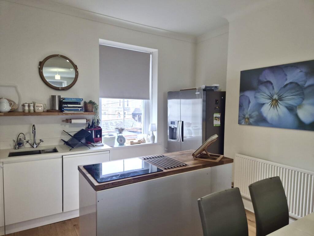
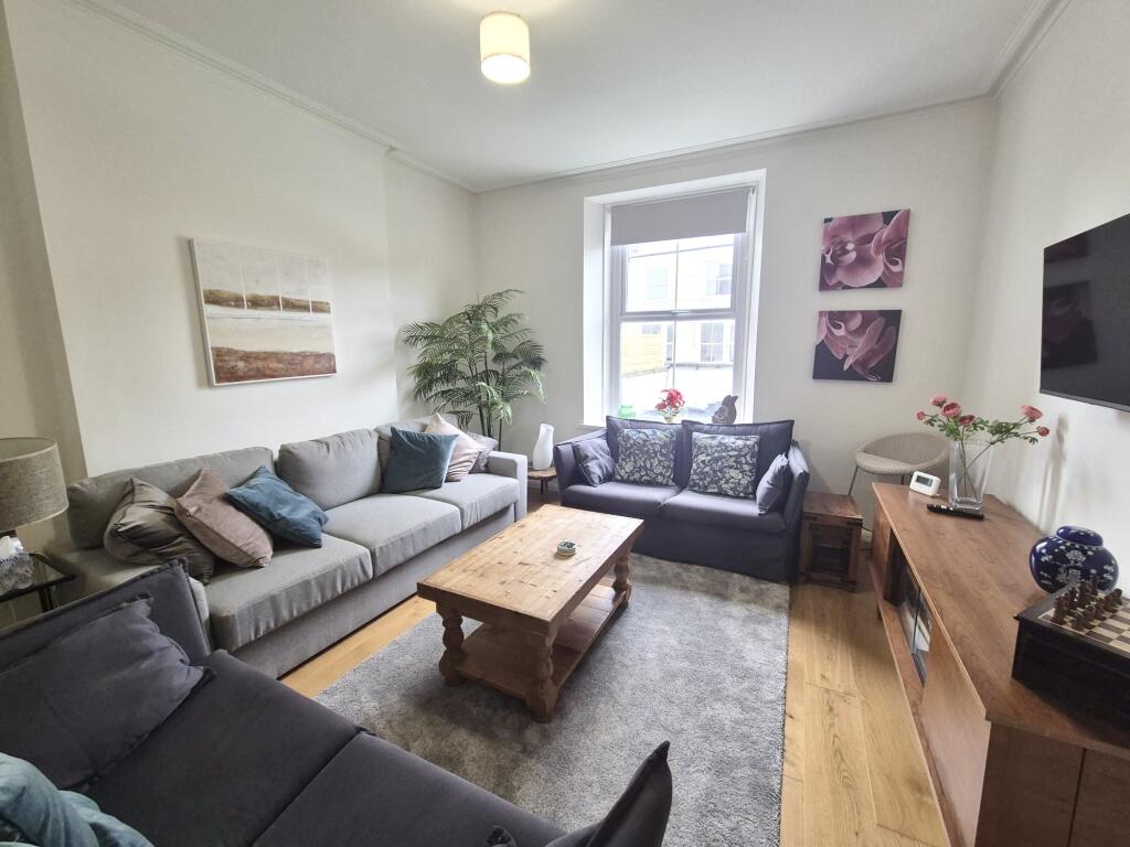
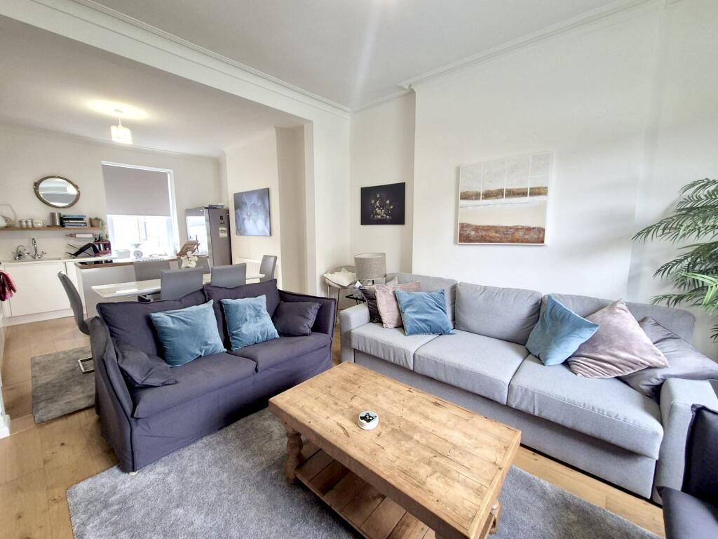
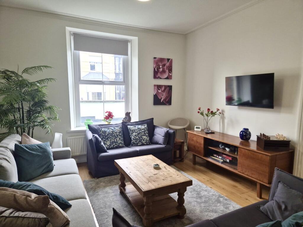
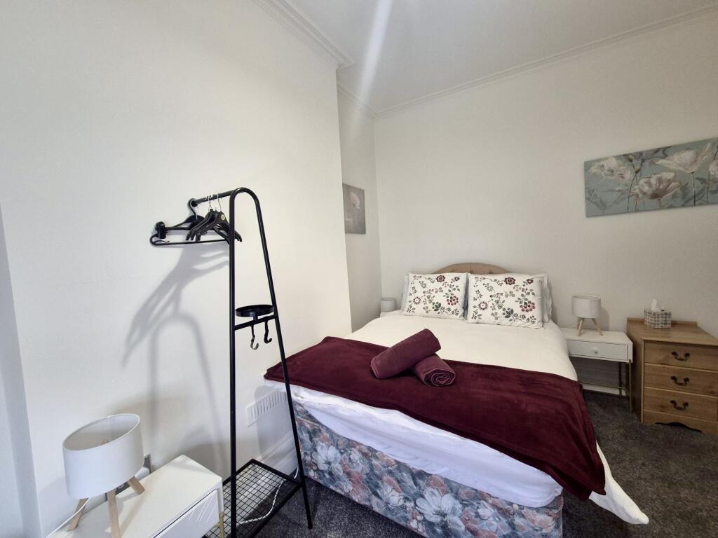
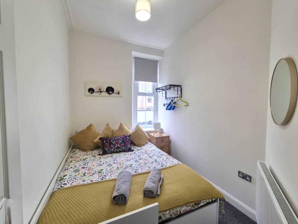
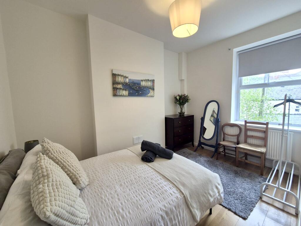
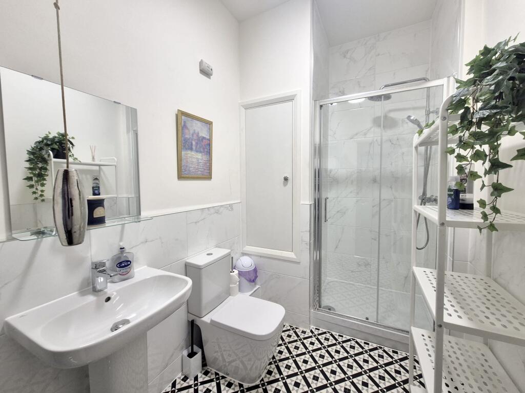
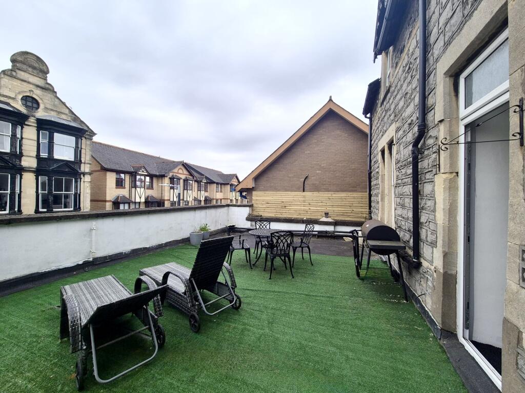
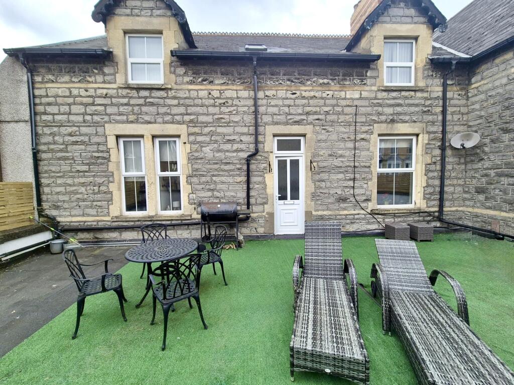
Photo 1 Photo 2 Photo 3 Photo 4 Photo 5 Photo 6 Photo 7 Photo 8 Photo 9 Photo 10 Photo 11
/ 11
Property details
Floor area
76 m²
Council tax band
E
Year built
England and Wales: 1900-1929
Street crime
126 incidents within 1 mile (Apr 2026)
Key features
- AVAILABLE SEPTEMBER
- TOWN CENTRE LOCATION
- GREAT TRANSPORT LINKS
- FURNISHED
- THREE BEDROOMS
- FIRST FLOOR
- PRIVATE TERRACE
- AVAILABLE 13TH SEPTEMBER
- Zero Deposit Scheme Available - Ask for more information
Description
Offered fully furnished and is available from September, call today for a viewing!
EPC rating - D
Council tax - E
Holding deposit - £415
Security deposit -£1,800 Council Tax Band: E Holding Deposit: £392.00
Listed by
Cardiff Bay
Countrywide UK Lettings - Connells
Reference: 87957936
EPC ratings on this postcode
We don't have a matched EPC for this property yet. Below are efficiency scores and details for other addresses on this postcode.
| Address | Current | Potential | Floor area | Age band | Type |
|---|---|---|---|---|---|
| 1 Bradenham Place, PENARTH | 55 | 73 | 215 m² | England and Wales: 1900-1929 | Detached |
| 3, Bradenham Place, PENARTH | 54 | 84 | 158 m² | England and Wales: before 1900 | Terraced |
| Flat 1, Bradenham House, Bradenham Place, PENARTH | 61 | 73 | 76 m² | England and Wales: 1900-1929 | Flat |
| Flat 2, 12, Bradenham Place, PENARTH | 70 | 80 | 81 m² | England and Wales: before 1900 | Flat |
| Ground Floor Flat, 4, Bradenham Place, PENARTH | 56 | 73 | 52 m² | England and Wales: 1900-1929 | Flat |
Flood risk
Zone: 1
Risk: Low
Job (default Low)
Rental Range
Estimated market rent for Vale of Glamorgan. Low = conservative, Realistic = average, Optimistic = best case.
Based on Local Authority from postcode lookup → Vale of Glamorgan.
Location
Address
Bradenham Place
Nearby
Nearest stations, universities and amenities (distance from property).
| Type | Name | Distance |
|---|---|---|
| Shop | Oxfam | 0.0 miles |
| Shop | Specsavers | 0.0 miles |
| Bus stop | Windsor Arcade | 0.1 miles |
| Bus stop | Penarth Library | 0.1 miles |
| Train station | Penarth | 0.2 miles |
| Train station | Dingle Road | 0.2 miles |
| University | The Open University in Wales | 2.6 miles |
| University | Cardiff University School of Journalism | 2.6 miles |
| Hospital | Cygnet Hospital Kewstoke | 10.6 miles |
| Hospital | Unknown | 11.2 miles |
Street-level crime
| Category | Count |
|---|---|
| Shoplifting | 31 |
| Violence and sexual offences | 26 |
| Anti-social behaviour | 18 |
| Vehicle crime | 15 |
| Public order | 13 |
| Burglary | 8 |
| Criminal damage and arson | 5 |
| Bicycle theft | 4 |
| Drugs | 2 |
| Other theft | 2 |
| Other crime | 1 |
| Robbery | 1 |
| Total incidents | 126 |
Within 1 mile during Apr 2026. Source: data.police.uk (England & Wales).
Schools nearby
Nearest open schools with Ofsted ratings (England). Closed schools are not shown. Data from Get Information about Schools and Ofsted.
| Name | Type | Distance | Ofsted |
|---|---|---|---|
| Westbourne Schools | Other | 0.1 miles | — (No rating) |
| Bute Cottage Nursery School | Other | 0.2 miles | — (No rating) |
| Albert C.P. School | Other | 0.2 miles | — (No rating) |
| Victoria Primary School | Other | 0.3 miles | — (No rating) |
| Penarth C.I.W. Primary | Other | 0.3 miles | — (No rating) |
Rental Comparables
Loading rental comparables for this postcode. Refresh in a few minutes.
Enter House Number
Enter the house number to help us retrieve more accurate pricing history and property data.
Please log in to submit or correct the house number for this listing.
Log in to continue