Brookland Avenue
Wistaston, CW2 8EJ
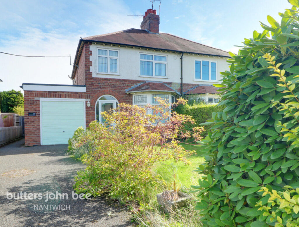
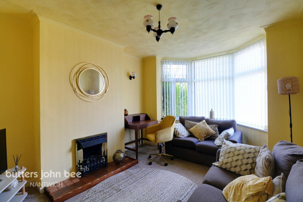
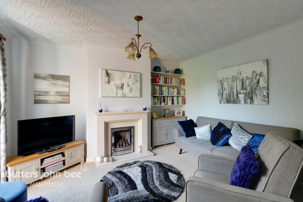
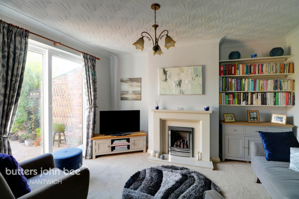
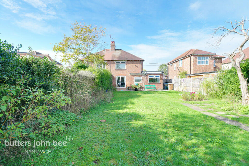
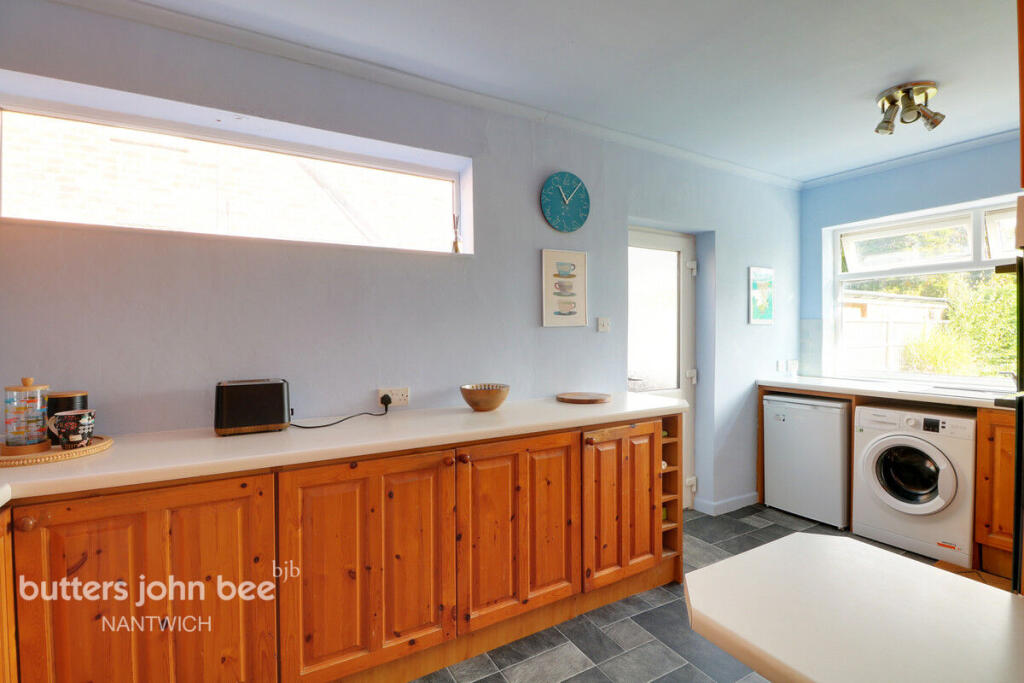
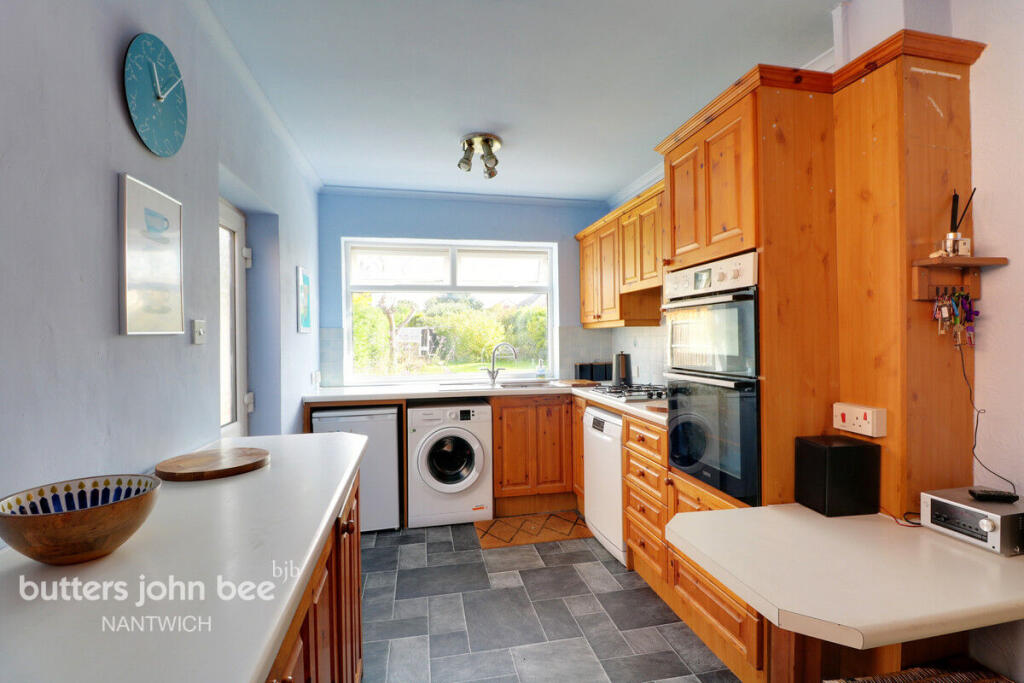
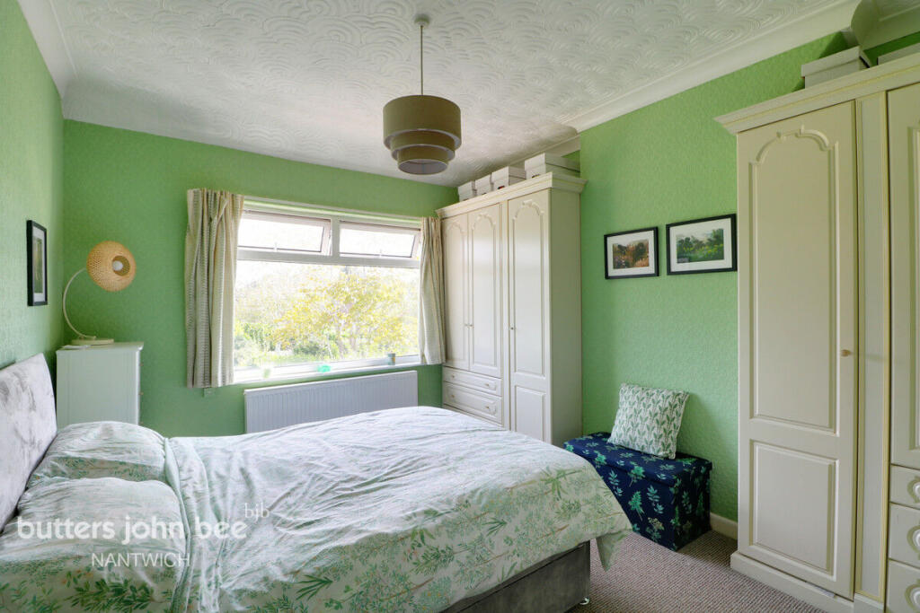
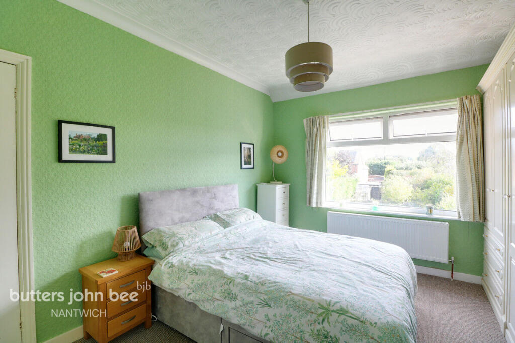
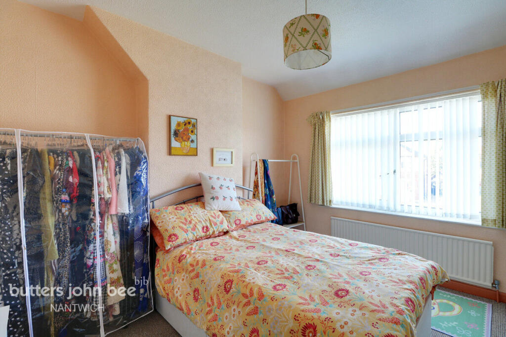
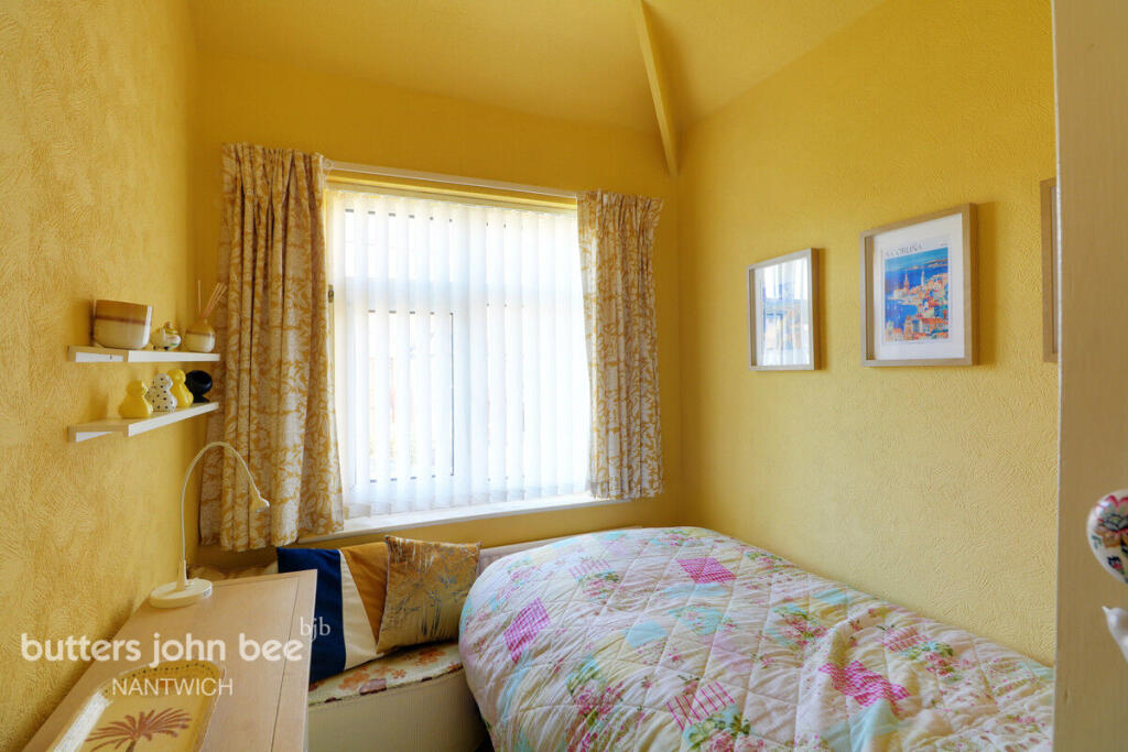
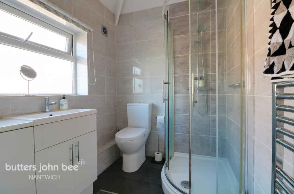
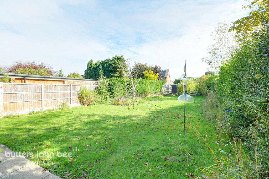
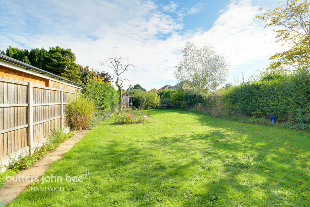
Photo 1 Photo 2 Photo 3 Photo 4 Photo 5 Photo 6 Photo 7 Photo 8 Photo 9 Photo 10 Photo 11 Photo 12 Photo 13 Photo 14
/ 14
Property details
Tenure
FREEHOLD
Council tax band
D
Local average
£207,318 (+44.7%)
Deprivation
Decile 10 (31,003 of 33,755)
Street crime
58 incidents within 1 mile (Aug 2026)
Key features
- Semi Detached Home
- Sought After Location
- Tastefully Extended
- Three Bedrooms
- Garage & Driveway
- Superb Gardens
Additional details
- Parking
- Yes
- Garden
- Yes
Description
Listed by
Nantwich
Spicerhaart
Reference: 94425915
EPC ratings on this postcode
We don't have a matched EPC for this property yet. Below are efficiency scores and details for other addresses on this postcode.
| Address | Current | Potential | Floor area | Age band | Type |
|---|---|---|---|---|---|
| 10 Brookland Avenue, Wistaston, CREWE | 56 | 79 | 118 m² | England and Wales: 1900-1929 | Detached |
| 10, Brookland Avenue, CREWE | 38 | 74 | 119 m² | England and Wales: 1900-1929 | Detached |
| 11 Brookland Avenue, Wistaston, CREWE | 55 | 81 | 94 m² | England and Wales: 1900-1929 | Detached |
| 12 BROOKLAND AVENUE, WISTASTON, WISTASTON | 61 | 84 | 91 m² | England and Wales: 1930-1949 | Detached |
| 12, Brookland Avenue, Wistaston, CREWE | 60 | 82 | 101 m² | England and Wales: 1900-1929 | Detached |
| 13, Brookland Avenue, CREWE | 55 | 84 | 91 m² | England and Wales: 1930-1949 | Detached |
| 14 Brookland Avenue, Wistaston, CREWE | 59 | 79 | 99 m² | England and Wales: 1900-1929 | Detached |
| 14a, Brookland Avenue, CREWE | 55 | 79 | 90 m² | England and Wales: 1930-1949 | Detached |
| 15, Brookland Avenue, CREWE | 86 | 91 | 106 m² | England and Wales: 1900-1929 | Detached |
| 15, Brookland Avenue, CREWE | 81 | 97 | 106 m² | England and Wales: 1900-1929 | Detached |
| 15, Brookland Avenue, CREWE | 54 | 97 | 106 m² | England and Wales: 1900-1929 | Detached |
| 16, Brookland Avenue, CREWE | 52 | 57 | 87 m² | England and Wales: 1930-1949 | Detached |
| 17, Brookland Avenue, CREWE | 30 | 61 | 113 m² | England and Wales: 1930-1949 | Detached |
| 17, Brookland Avenue, CREWE | 32 | 65 | 112 m² | England and Wales: 1930-1949 | Detached |
| 19, Brookland Avenue, CREWE | 60 | 84 | 62 m² | England and Wales: 1930-1949 | Detached |
Flood risk
Zone: 1
Risk: Low
Job (default Low)
Registered land (INSPIRE)
This location is outside the imported HM Land Registry INSPIRE registered freehold polygons.
Source: HM Land Registry INSPIRE Index Polygons.
Floorplans
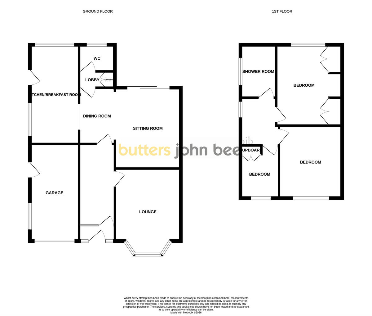
Floorplan 1
EPC Graphs
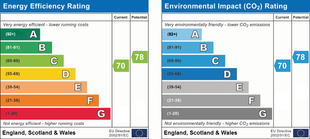
EPC 1
Price history
| Event | Date | Price | % change |
|---|---|---|---|
| Listed for sale | — | £300,000 | — |
Source: HM Land Registry Price Paid Data. Crown copyright.
Sold Comparables
Same street and nearby sales within 0.25 miles (last 5 years). Data from Land Registry Price Paid.
| Address | Price | Date | Type |
|---|---|---|---|
| 9 CARROLL DRIVE, WISTASTON, CREWE, CHESHIRE EAST, CW2 8DH | £192,500 | 19/12/2025 | Semi-detached |
| 2 FRESHFIELDS, WISTASTON, CREWE, CHESHIRE EAST, CW2 6QD | £275,000 | 03/12/2025 | Semi-detached |
| 36 KINGS DRIVE, WISTASTON, CREWE, CHESHIRE EAST, CW2 8HT | £320,000 | 28/11/2025 | Semi-detached |
| 539 CREWE ROAD, WISTASTON, CREWE, CHESHIRE EAST, CW2 6PY | £320,000 | 10/05/2023 | Semi-detached |
| 2 COWPER CLOSE, WISTASTON, CREWE, CHESHIRE EAST, CW2 8DU | £238,000 | 08/12/2022 | Semi-detached |
| 3 SPENCER CLOSE, WISTASTON, CREWE, CHESHIRE EAST, CW2 8DT | £275,000 | 02/12/2022 | Semi-detached |
| 2 HERRICK CLOSE, WISTASTON, CREWE, CHESHIRE EAST, CW2 8DX | £195,000 | 30/11/2022 | Semi-detached |
| 19 CARROLL DRIVE, WISTASTON, CREWE, CHESHIRE EAST, CW2 8DH | £175,000 | 25/11/2022 | Semi-detached |
| 9 CARROLL DRIVE, WISTASTON, CREWE, CHESHIRE EAST, CW2 8DH | £181,000 | 17/11/2022 | Semi-detached |
| 2 MARLBOROUGH CLOSE, WISTASTON, CREWE, CHESHIRE EAST, CW2 8JQ | £290,000 | 26/08/2022 | Semi-detached |
| 32 PARK DRIVE, WISTASTON, CREWE, CHESHIRE EAST, CW2 8EN | £375,000 | 11/07/2022 | Semi-detached |
| 8 SPRINGFIELD DRIVE, WISTASTON, CREWE, CHESHIRE EAST, CW2 6RA | £250,000 | 20/04/2022 | Semi-detached |
| 29 SHELLEY DRIVE, WISTASTON, CREWE, CHESHIRE EAST, CW2 8DG | £165,000 | 31/03/2022 | Semi-detached |
| 20 PARK DRIVE, WISTASTON, CREWE, CHESHIRE EAST, CW2 8EN | £295,000 | 25/03/2022 | Semi-detached |
| 52 SHELLEY DRIVE, WISTASTON, CREWE, CHESHIRE EAST, CW2 8DG | £173,250 | 18/03/2022 | Semi-detached |
| 2 BEAUMONT CLOSE, WISTASTON, CREWE, CHESHIRE EAST, CW2 8BU | £227,000 | 02/03/2022 | Semi-detached |
| 8 SPENCER CLOSE, WISTASTON, CREWE, CHESHIRE EAST, CW2 8DT | £210,000 | 28/02/2022 | Semi-detached |
| 11 SPENCER CLOSE, WISTASTON, CREWE, CHESHIRE EAST, CW2 8DT | £240,000 | 21/02/2022 | Semi-detached |
| Same street 13 BROOKLAND AVENUE, WISTASTON, CREWE, CHESHIRE EAST, CW2 8EJ | £280,000 | 10/12/2021 | Semi-detached |
| 37 BERKELEY CRESCENT, WISTASTON, CREWE, CHESHIRE EAST, CW2 6QB | £310,000 | 26/11/2021 | Semi-detached |
| 21 PARK DRIVE, WISTASTON, CREWE, CHESHIRE EAST, CW2 8EN | £373,000 | 19/11/2021 | Semi-detached |
Street average: £280,000 (1 sale)
Area average: £253,988 (20 sales)
Capital growth trend
Land Registry outcode average: last 12 months vs 5y and 10y ago (from sold prices).
House Price Index (HM Land Registry — official index, not sold-price averages): Cheshire East. Series: Semi-detached. As of July 2026.
Rental Range
Estimated market rent for Cheshire East. Low = conservative, Realistic = average, Optimistic = best case.
Based on Local Authority from postcode lookup → Cheshire East.
LHA (30th percentile) floor for South Cheshire: £678/mo (Apr 2025 – Mar 2026)
Location
Address
Brookland Avenue
Nearby
Nearest stations, universities and amenities (distance from property).
| Type | Name | Distance |
|---|---|---|
| Bus stop | Wells Green, Crewe Road / Brookland Avenue | 0.1 miles |
| Shop | Graham Tresidder and Son | 0.1 miles |
| Bus stop | Wells Green, Crewe Road / Springfield Drive | 0.1 miles |
| Shop | Spar | 0.1 miles |
| Train station | Crewe | 1.6 miles |
| University | University of Buckingham Crewe Campus | 2.2 miles |
| Train station | Nantwich | 2.4 miles |
| University | Keele University | 9.8 miles |
| Hospital | Tarporley War Memorial Hospital | 10.0 miles |
| Hospital | Whitchurch Community Hospital | 11.5 miles |
Street-level crime
| Category | Count |
|---|---|
| Violence and sexual offences | 25 |
| Anti-social behaviour | 12 |
| Public order | 7 |
| Criminal damage and arson | 4 |
| Burglary | 3 |
| Drugs | 3 |
| Other crime | 2 |
| Other theft | 1 |
| Vehicle crime | 1 |
| Total incidents | 58 |
Within 1 mile during Aug 2026. Source: data.police.uk (England & Wales).
Schools nearby
Nearest open schools with Ofsted ratings (England). Closed schools are not shown. Data from Get Information about Schools and Ofsted.
| Name | Type | Distance | Ofsted |
|---|---|---|---|
| Wistaston Church Lane Academy | Primary | 0.4 miles | Good — 14 May 2019 |
| The Berkeley Academy | Primary | 0.6 miles | Good — 3 Dec 2019 |
| St Mary's Catholic Primary School, Crewe | Primary | 0.6 miles | Good — 13 Sep 2023 |
| St Thomas More Catholic High School | Secondary | 0.7 miles | — (Inspected (no overall grade)) |
| Vine Tree Primary School | Primary | 0.7 miles | Good — 12 Dec 2012 |
Rental Comparables
Rental comparables data is not available for this property.
Rent-driven metrics
Based on Area rent estimate.
- Rent ratio — Monthly rent ÷ purchase price (1% rule). 1%+ = strong, 0.8–1% = okay, <0.8% = weak for cashflow.
- Max investor price — Rent ÷ 0.8%; the price at which rent would be 0.8% of price (Stoke-style target).
- Target investor price — Rent ÷ 1%; the price at which rent would be 1% of price (strong cashflow band).
- Gross yield — Annual rent as % of purchase price (no costs).
Enter House Number
Enter the house number to help us retrieve more accurate pricing history and property data.
Please log in to submit or correct the house number for this listing.
Log in to continue