FLAT 155
7 GASHOLDER PLACE, LONDON, GREATER LONDON SE11 5AU
£3,467 pcm
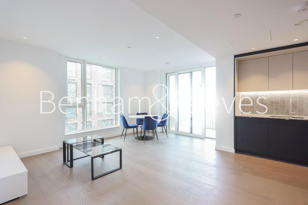
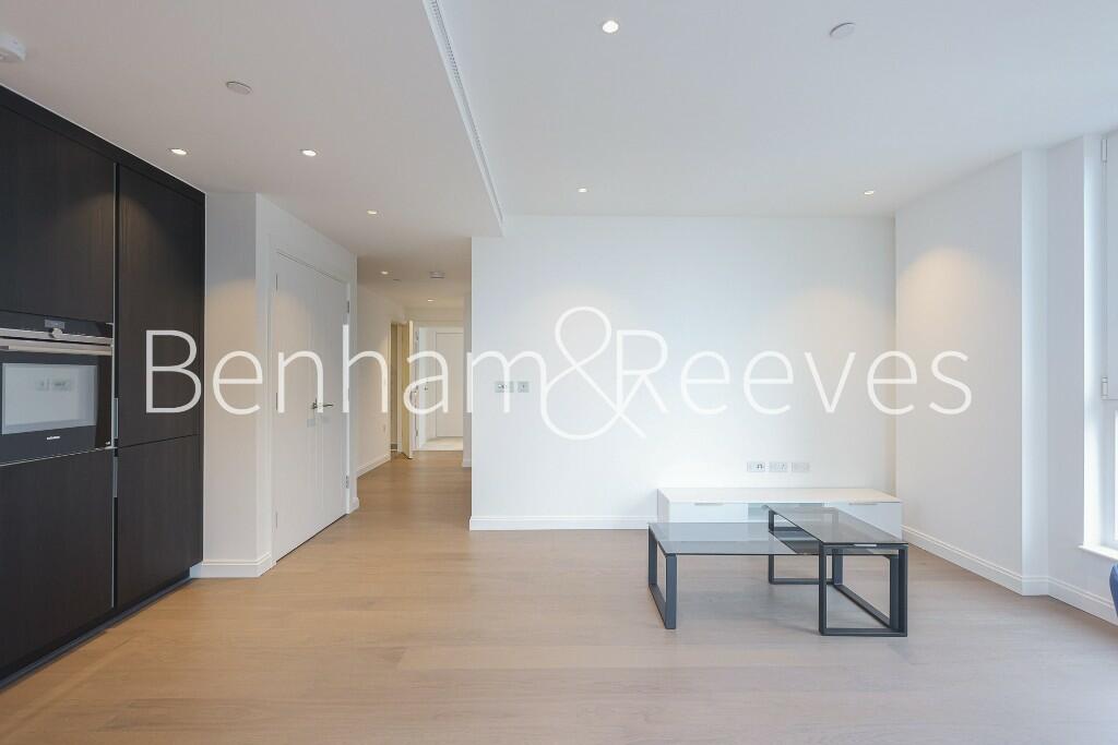
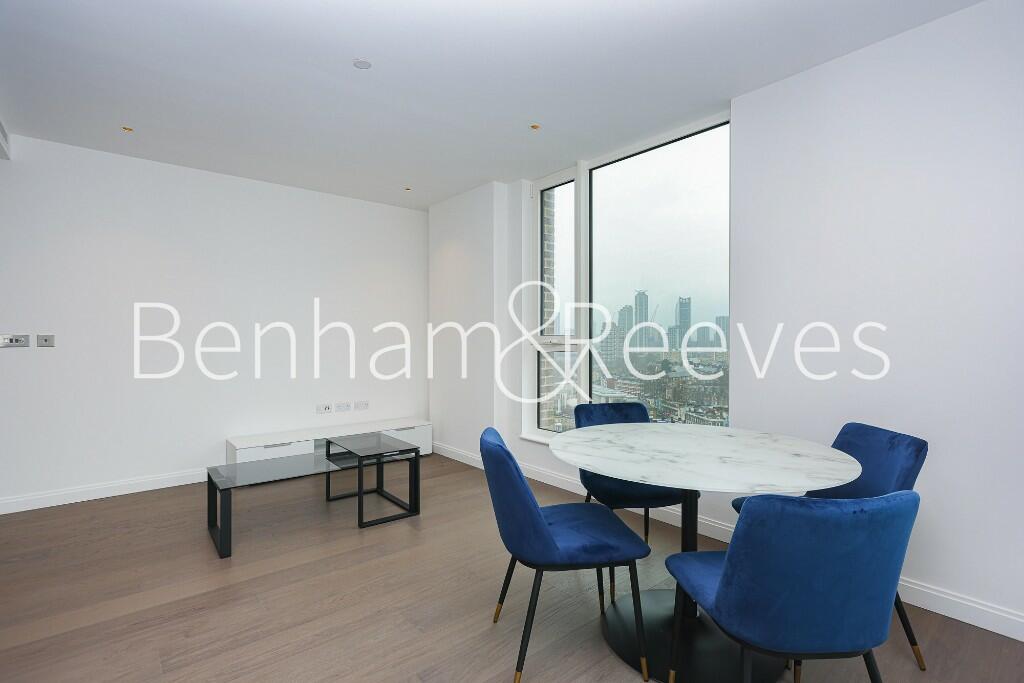


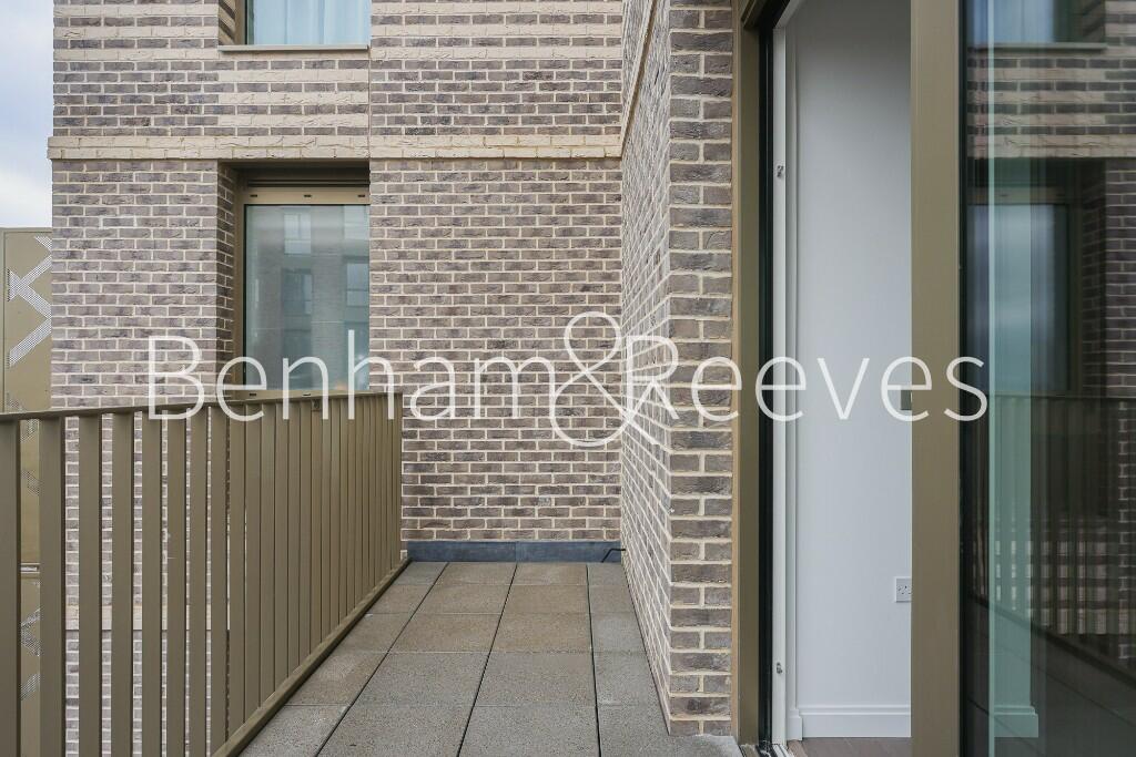
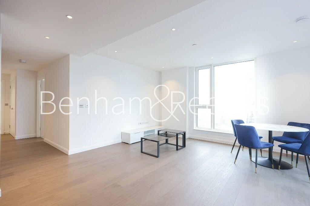
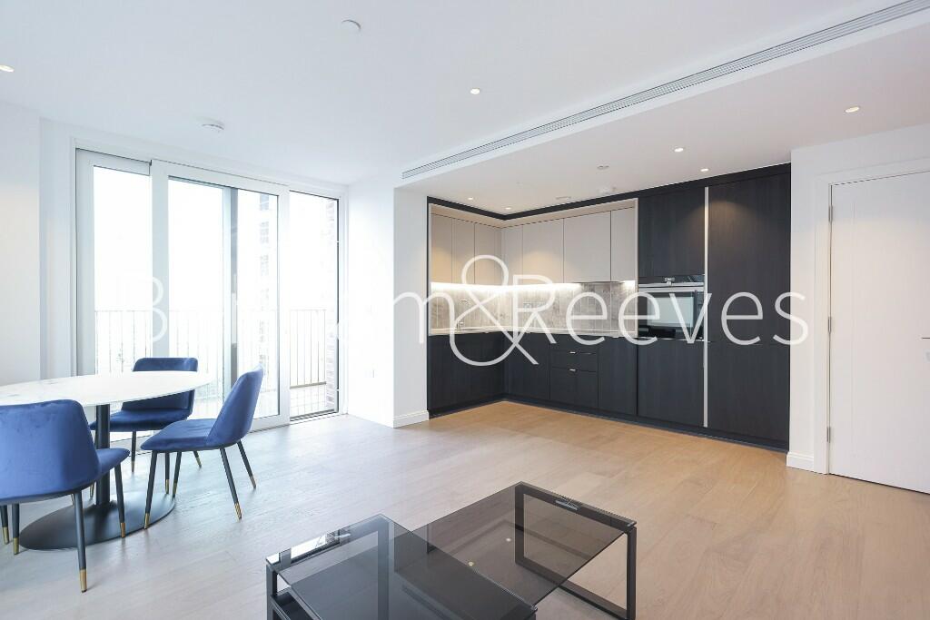
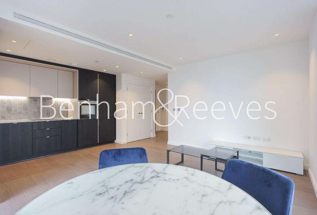
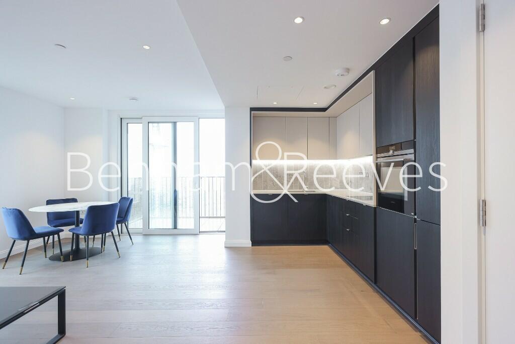
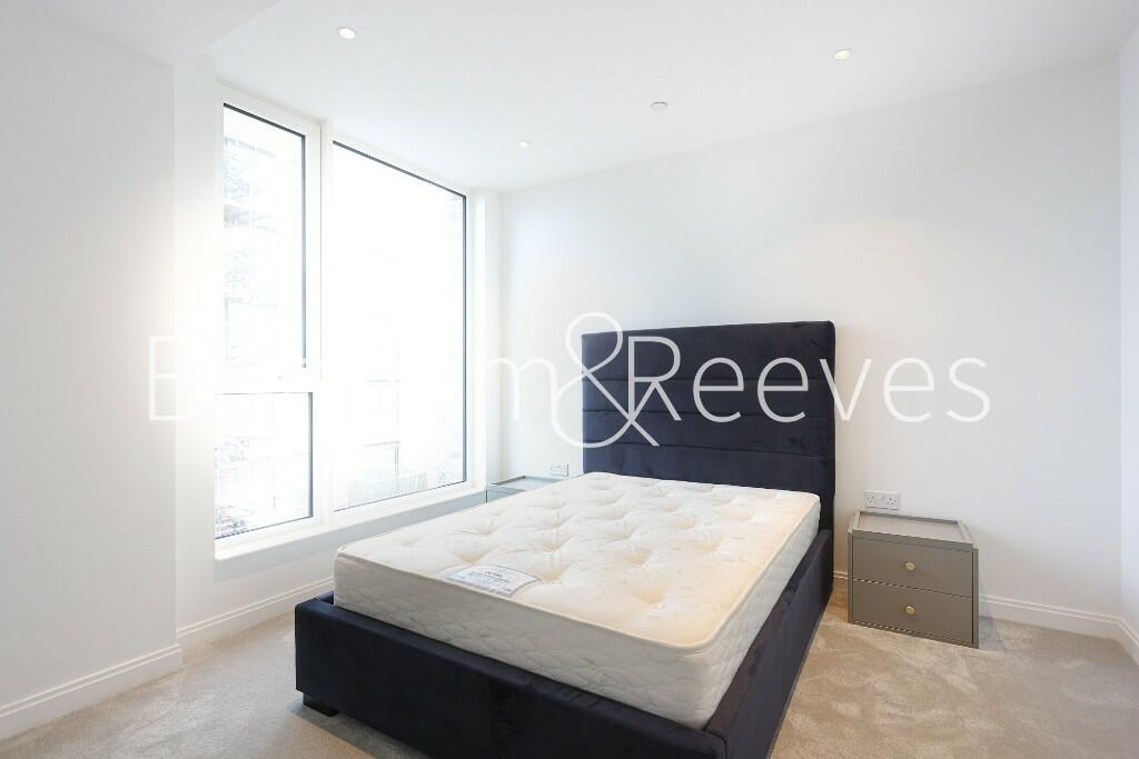
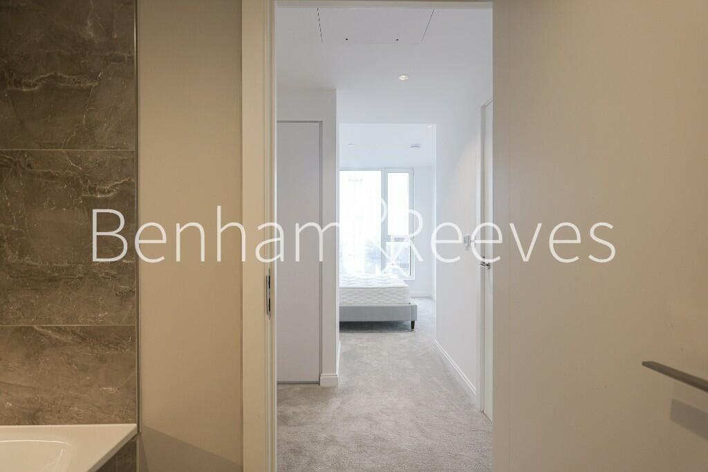

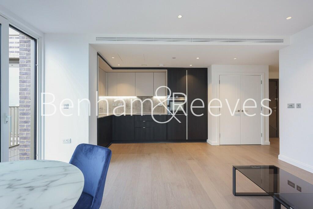
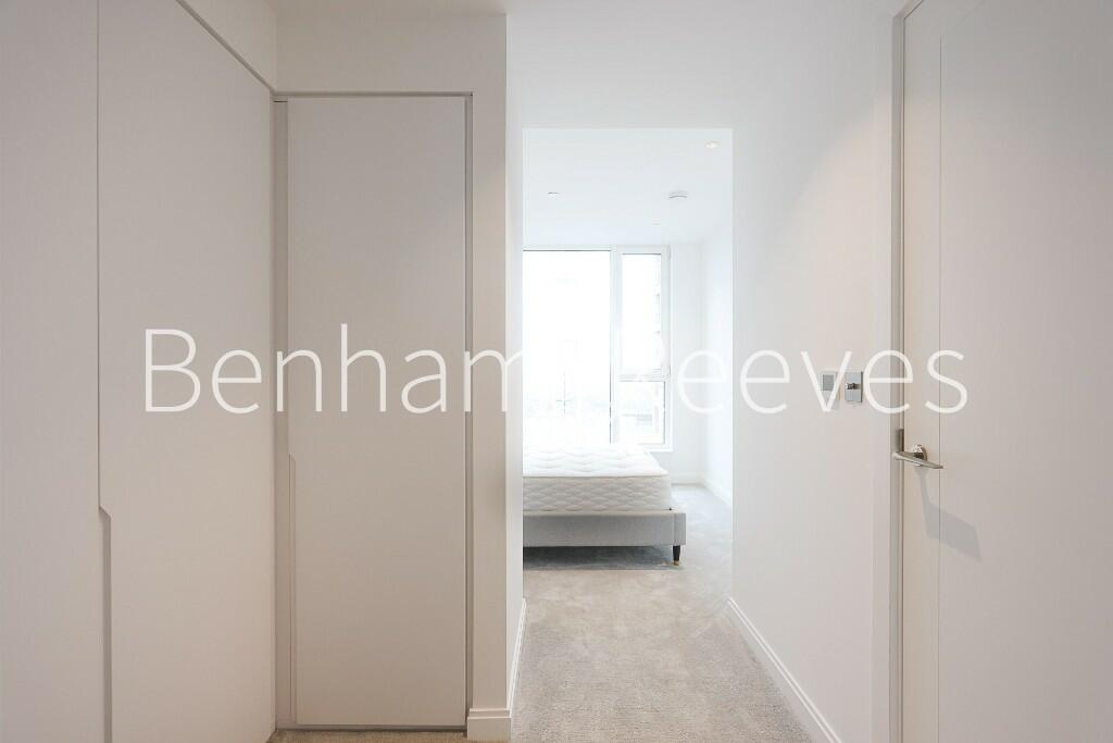
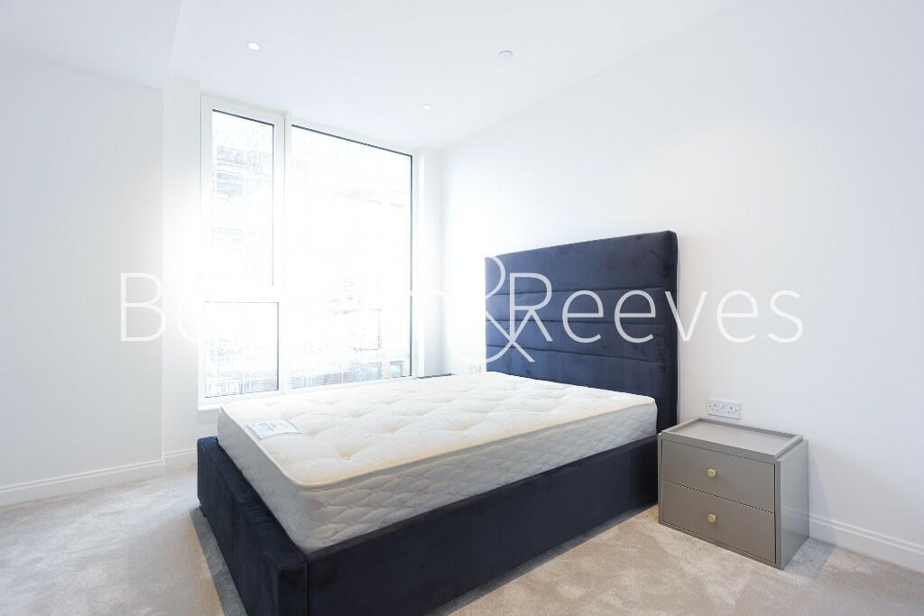


Photo 1 Photo 2 Photo 3 Photo 4 Photo 5 Photo 6 Photo 7 Photo 8 Photo 9 Photo 10 Photo 11 Photo 12 Photo 13 Photo 14 Photo 15 Photo 16 Photo 17 Photo 18 Photo 19
/ 19
Property details
Floor area
104 m²
Street crime
2128 incidents within 1 mile (Mar 2026)
Key features
- Brand new
- Two double bedroom
- Two bathrooms
- Furnished or Unfurnished
- Balcony
- EPC-B
- 24 hour concierge
- Residence Gym
- Supermarket on site
- Oval and Vauxhall Stations
Description
The property benefits from a large open planned living space, which opens onto a private balcony, a fully fitted kitchen with integrated appliances, double bedrooms with built in wardrobes , the main bedroom benefiting from an en-suite bathroom. There is a family size bathroom off the hallway along with a utility cupboard and storage options.
The development offers 24-hour concierge, residents' gym on site with more facilities opening in the future. Located on site is a large Tesco supermarket and several café and restaurant within a short walk.
Located in between Oval and Vauxhall you have a few transport options with the Northern Line at Oval going into the City and Central London. Vauxhall station has access to the Victoria line and the National rail service to Waterloo.
Listed by
Nine Elms
Benham & Reeves
Reference: 145483907
EPC Rating & Upgrade Cost
Fetching EPC data… Refresh this page in a moment.
Flood risk
Zone: 1
Risk: Low
Job (default Low)
Floorplans
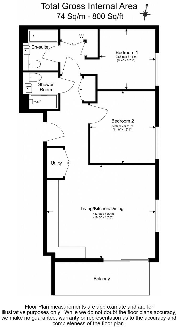
FP
EPC Graphs
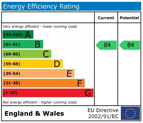
EPC
Rental Range
Estimated market rent for London. Low = conservative, Realistic = average, Optimistic = best case.
Based on Postcode area SE → London.
LHA (30th percentile) floor for Stevenage & North Herts: £972/mo (Apr 2025 – Mar 2026)
Location
Nearby
Nearest stations, universities and amenities (distance from property).
| Type | Name | Distance |
|---|---|---|
| Shop | Tesco Express | 0.0 miles |
| Bus stop | Hotspur Street | 0.0 miles |
| Bus stop | Kennington Lane | 0.0 miles |
| Shop | Londis | 0.1 miles |
| Train station | Kennington | 0.3 miles |
| Train station | Vauxhall | 0.5 miles |
| University | LSBU Active | 0.7 miles |
| University | University Library | 0.7 miles |
| Hospital | Dental Hospital | 1.7 miles |
| Hospital | King's College Hospital Emergency Department | 1.7 miles |
Street-level crime
| Category | Count |
|---|---|
| Violence and sexual offences | 424 |
| Anti-social behaviour | 398 |
| Theft from the person | 347 |
| Shoplifting | 239 |
| Other theft | 190 |
| Public order | 101 |
| Robbery | 94 |
| Drugs | 75 |
| Criminal damage and arson | 62 |
| Burglary | 55 |
| Bicycle theft | 47 |
| Vehicle crime | 46 |
| Other crime | 27 |
| Possession of weapons | 23 |
| Total incidents | 2128 |
Within 1 mile during Mar 2026. Source: data.police.uk (England & Wales).
Schools nearby
Nearest open schools with Ofsted ratings (England). Closed schools are not shown. Data from Get Information about Schools and Ofsted.
| Name | Type | Distance | Ofsted |
|---|---|---|---|
| Octavia House Schools, London | Other | 0.1 miles | Outstanding — 28 Nov 2022 |
| Ethelred Nursery School and Children's Centre | Nursery | 0.1 miles | Outstanding — 5 Feb 2015 |
| Vanguard School | Other | 0.1 miles | Requires improvement — 26 Jan 2023 |
| Archbishop Sumner Church of England Primary School | Primary | 0.2 miles | Outstanding — 11 Feb 2015 |
| Vauxhall Primary School | Primary | 0.3 miles | Good — 18 Jan 2024 |
Rental Comparables
Loading rental comparables for this postcode. Refresh in a few minutes.