10 HARCOMBE CLOSE
POOLE, BOURNEMOUTH, CHRISTCHURCH AND POOLE BH17 9HJ
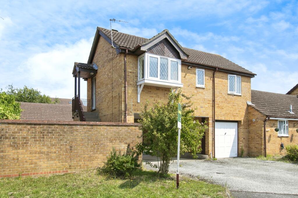

Property details
Tenure
FREEHOLD
Floor area
41 m²
Council tax band
A
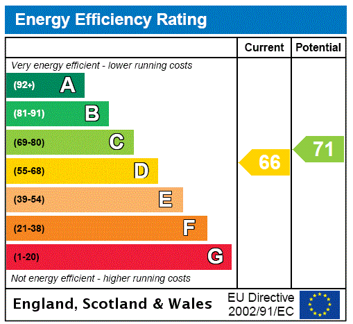
EPC rating
D
Year built
England and Wales: 1983-1990
Last sold
£221,500 Nov 2024
Price per m²
£5,488/m²
Local average
£398,833 (-43.6%)
Deprivation
Decile 7 (20,616 of 33,755)
Street crime
75 incidents within 1 mile (Apr 2026)
Additional details
- Parking
- Yes
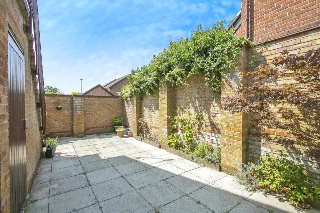
- Garden
- Yes
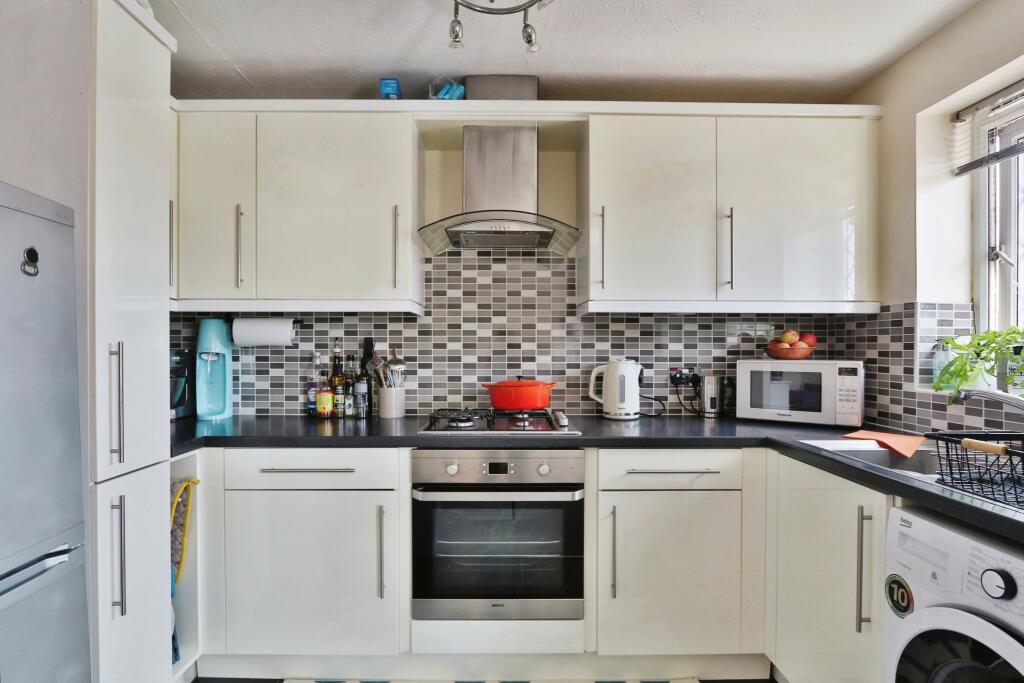
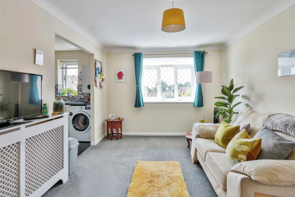
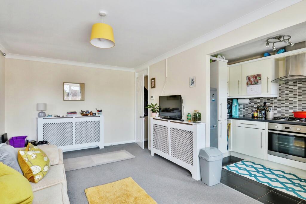
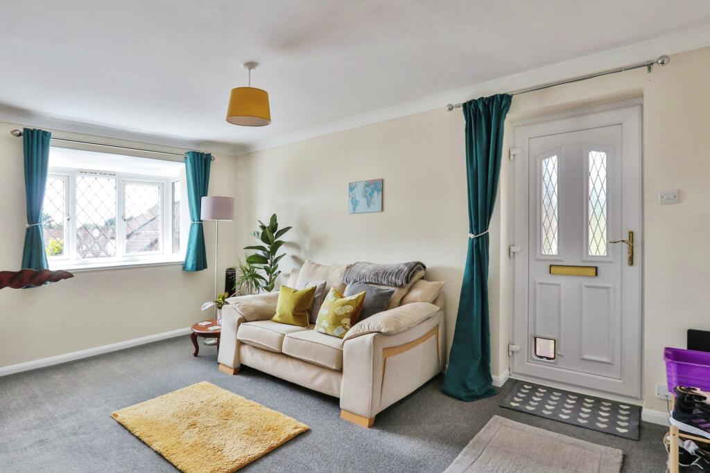
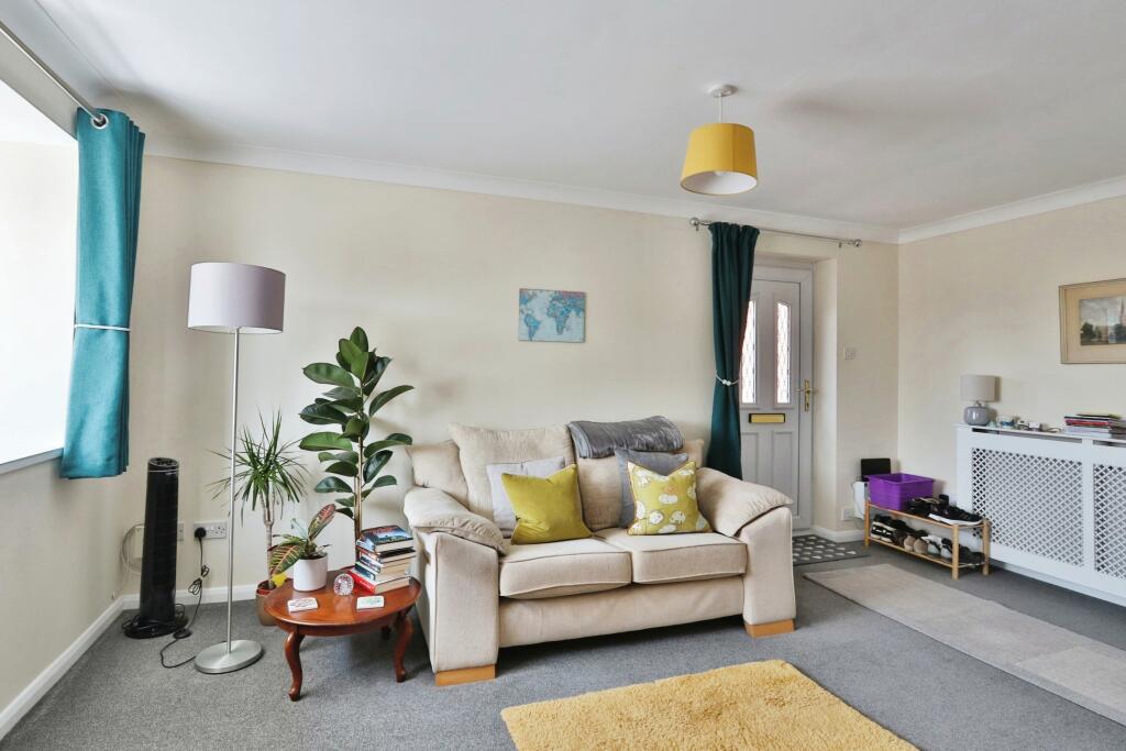
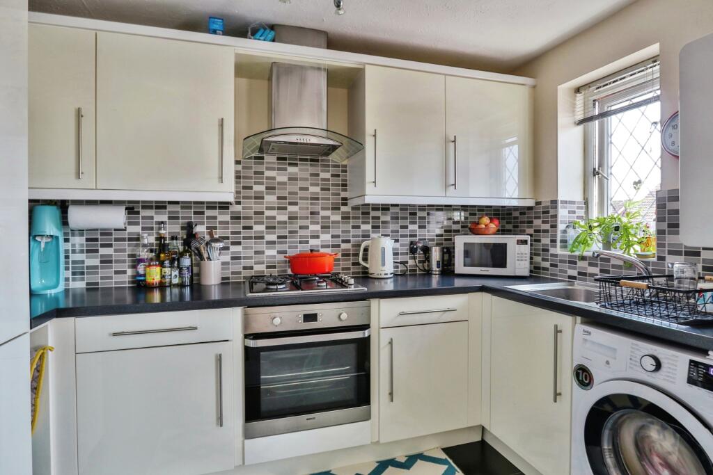
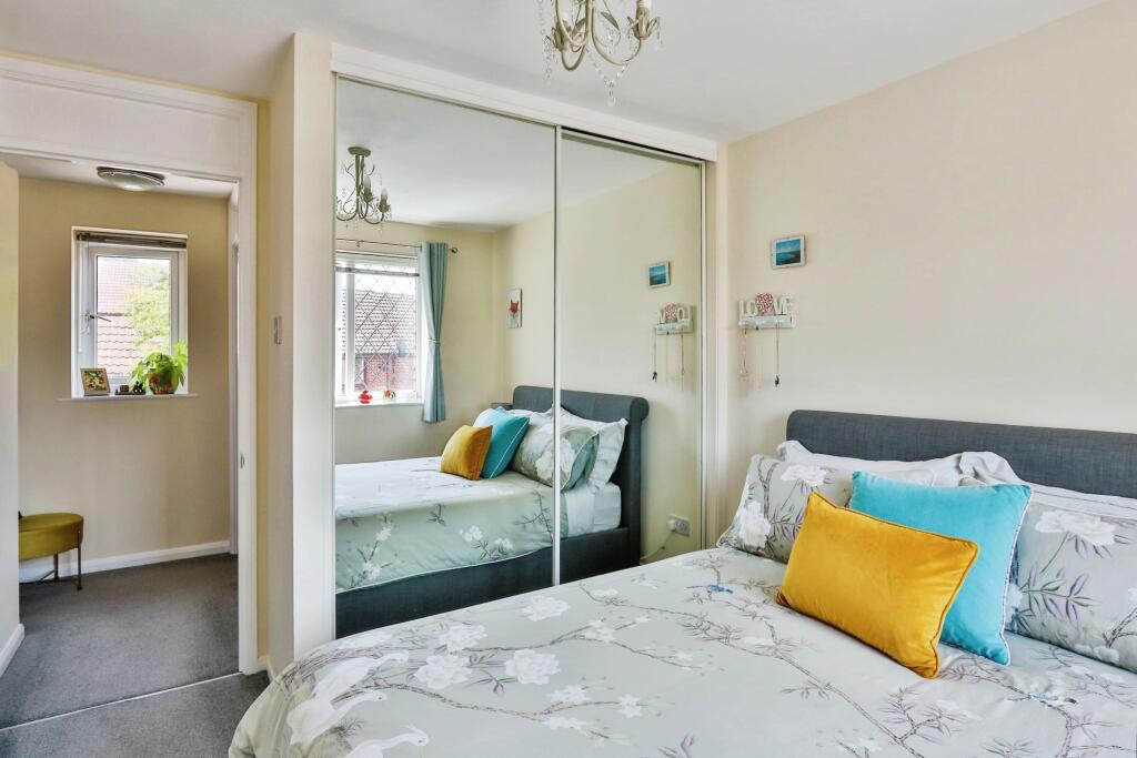
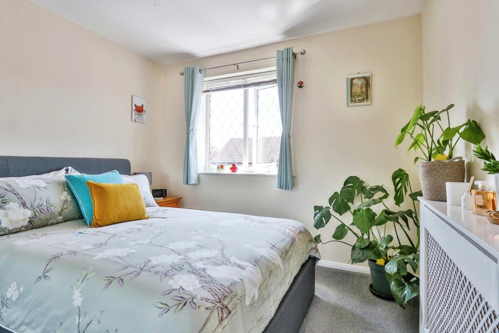
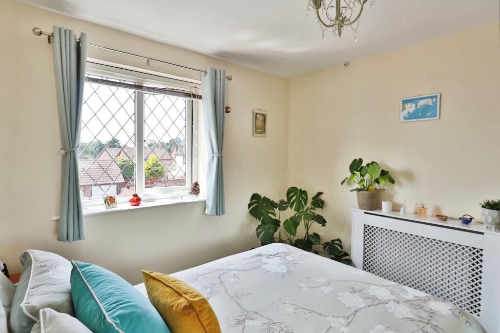
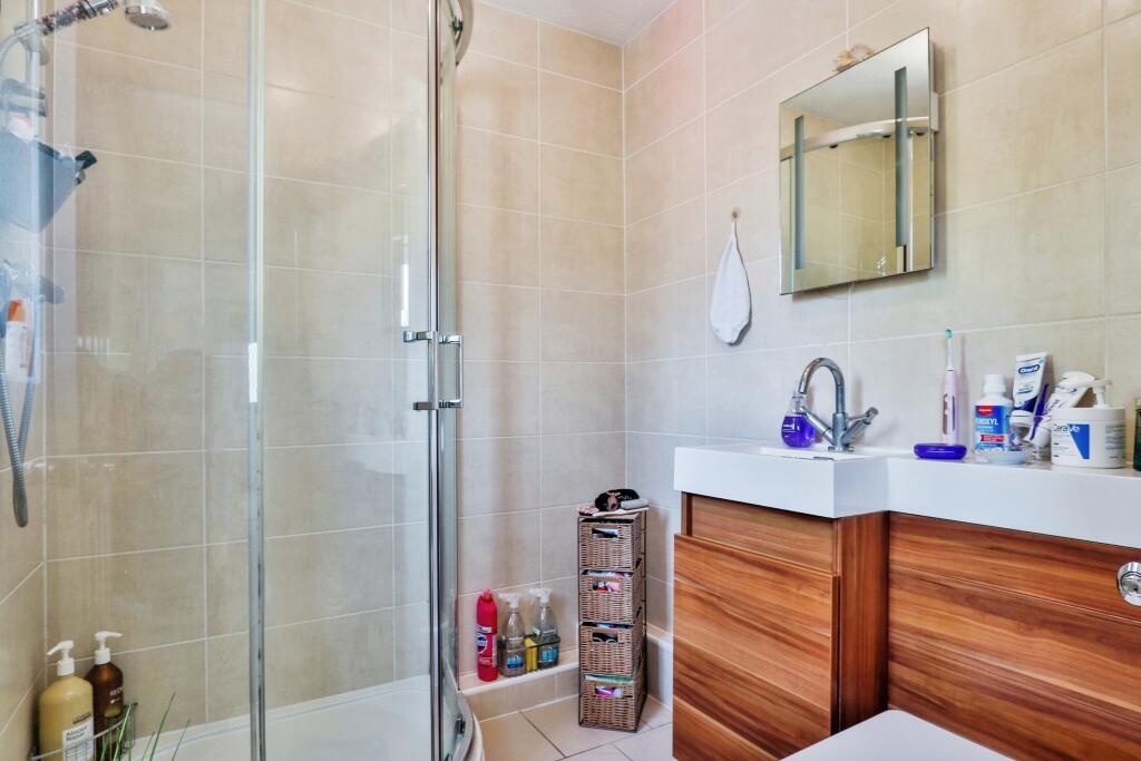
Description
Council Tax Band A (BCP Council)
Listed by
Canford Heath
Countrywide UK Sales - Connells
Reference: 151267235
EPC Rating & Upgrade Cost
Current rating: D
Potential rating: C
Inspection date: 09/06/2022
Expiry date: 08/06/2032
Current heating cost: £368/year
Potential heating cost: £304/year
Est. upgrade cost to C: £1,000
Recommendations
- Floor insulation (suspended floor) (£800 - £1,200)
Flood risk
Zone: 1
Risk: Low
Job (default Low)
Floorplans
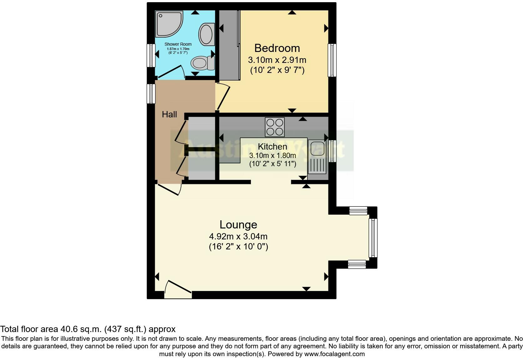
FLOOR-PLAN
EPC Graphs
EPC Rating Graph
Price history
| Event | Date | Price | % change |
|---|---|---|---|
| Sold | 29/11/2024 (1 year ago) | £221,500 | — |
Source: HM Land Registry Price Paid Data. Crown copyright.
Sold Comparables
Same street and nearby sales within 0.25 miles (last 5 years). Data from Land Registry Price Paid.
| Address | Price | Date | Type |
|---|---|---|---|
| Same street 11 HARCOMBE CLOSE, POOLE, BOURNEMOUTH, CHRISTCHURCH AND POOLE, BH17 9HJ | £292,000 | 15/07/2022 | Terraced |
| Same street 28 HARCOMBE CLOSE, POOLE, BOURNEMOUTH, CHRISTCHURCH AND POOLE, BH17 9HJ | £340,000 | 30/05/2022 | Terraced |
| Same street 15 HARCOMBE CLOSE, POOLE, BOURNEMOUTH, CHRISTCHURCH AND POOLE, BH17 9HJ | £286,000 | 29/09/2021 | Terraced |
| Same street 21 HARCOMBE CLOSE, POOLE, BOURNEMOUTH, CHRISTCHURCH AND POOLE, BH17 9HJ | £266,000 | 27/09/2021 | Terraced |
Street average: £296,000 (4 sales)
Capital growth trend
Land Registry outcode average: last 12 months vs 5y and 10y ago (from sold prices).
House Price Index (HM Land Registry — official index, not sold-price averages): Bournemouth Christchurch and Poole. Series: All dwelling types. As of March 2026.
Rental Range
Estimated market rent for Bournemouth, Christchurch and Poole. Low = conservative, Realistic = average, Optimistic = best case.
Based on Local Authority from postcode lookup → Bournemouth, Christchurch and Poole.
Location
Nearby
Nearest stations, universities and amenities (distance from property).
| Type | Name | Distance |
|---|---|---|
| Bus stop | Tollerford Road, Steeple Close | 0.2 miles |
| Bus stop | Portesham Way | 0.2 miles |
| Shop | Wessex Van Centre | 0.7 miles |
| Shop | West Quay Boat Sales | 0.7 miles |
| Train station | Parkstone | 2.5 miles |
| Train station | Poole | 2.6 miles |
| University | Bournemouth University (Talbot Campus) | 3.5 miles |
| University | Bournemouth University | 3.5 miles |
| Hospital | Dorset HealthCare | 4.0 miles |
| Hospital | Nuffield Health Bournemouth Hospital | 4.8 miles |
Street-level crime
| Category | Count |
|---|---|
| Violence and sexual offences | 31 |
| Anti-social behaviour | 19 |
| Criminal damage and arson | 9 |
| Shoplifting | 4 |
| Vehicle crime | 4 |
| Other theft | 3 |
| Bicycle theft | 2 |
| Public order | 2 |
| Burglary | 1 |
| Total incidents | 75 |
Within 1 mile during Apr 2026. Source: data.police.uk (England & Wales).
Schools nearby
Nearest open schools with Ofsted ratings (England). Closed schools are not shown. Data from Get Information about Schools and Ofsted.
| Name | Type | Distance | Ofsted |
|---|---|---|---|
| Poole Grammar School | Secondary | 0.4 miles | Good — 21 Feb 2018 |
| Ad Astra Infant School | Primary | 0.5 miles | Good — 8 Feb 2018 |
| Magna Academy | Secondary | 0.6 miles | Good — 18 May 2023 |
| Montacute School | Other | 0.6 miles | Good — 24 May 2017 |
| Haymoor Junior School | Primary | 0.6 miles | Good — 19 Nov 2012 |
Rental Comparables
Loading rental comparables for this postcode. Refresh in a few minutes.
Rent-driven metrics
Based on Area rent estimate.
- Rent ratio — Monthly rent ÷ purchase price (1% rule). 1%+ = strong, 0.8–1% = okay, <0.8% = weak for cashflow.
- Max investor price — Rent ÷ 0.8%; the price at which rent would be 0.8% of price (Stoke-style target).
- Target investor price — Rent ÷ 1%; the price at which rent would be 1% of price (strong cashflow band).
- Gross yield — Annual rent as % of purchase price (no costs).