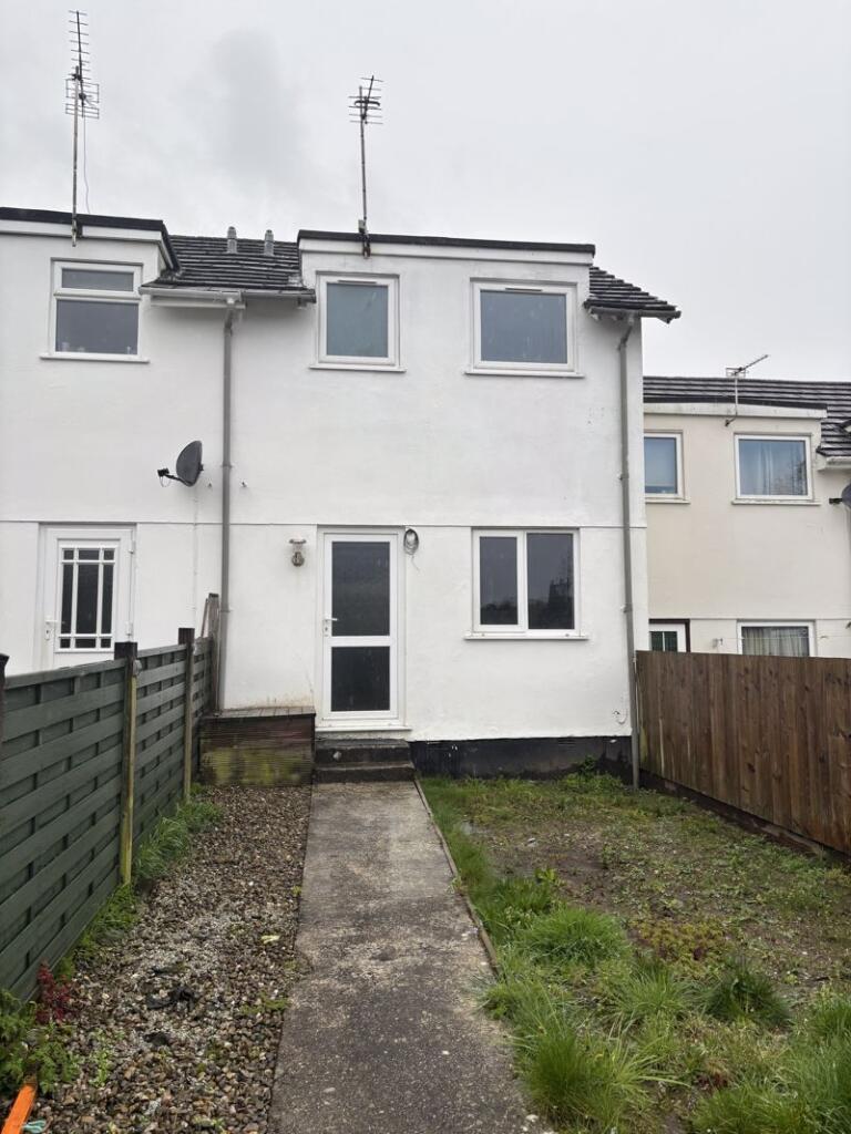
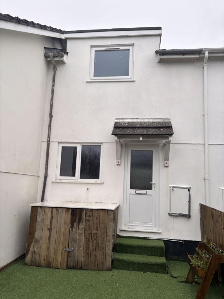
28 BOSWORGEY CLOSE
ST COLUMB, CORNWALL TR9 6SH
£800 pcm
Property details
Floor area
46 m²
Council tax band
A
Deprivation
Decile 5 (15,578 of 33,755)
Street crime
18 incidents within 1 mile (Apr 2026)
Key features
- TWO BEDROOMS
- GARAGE
- GARDENS
- EPC E
- TERRACED HOUSE
Additional details
- Parking
- Yes
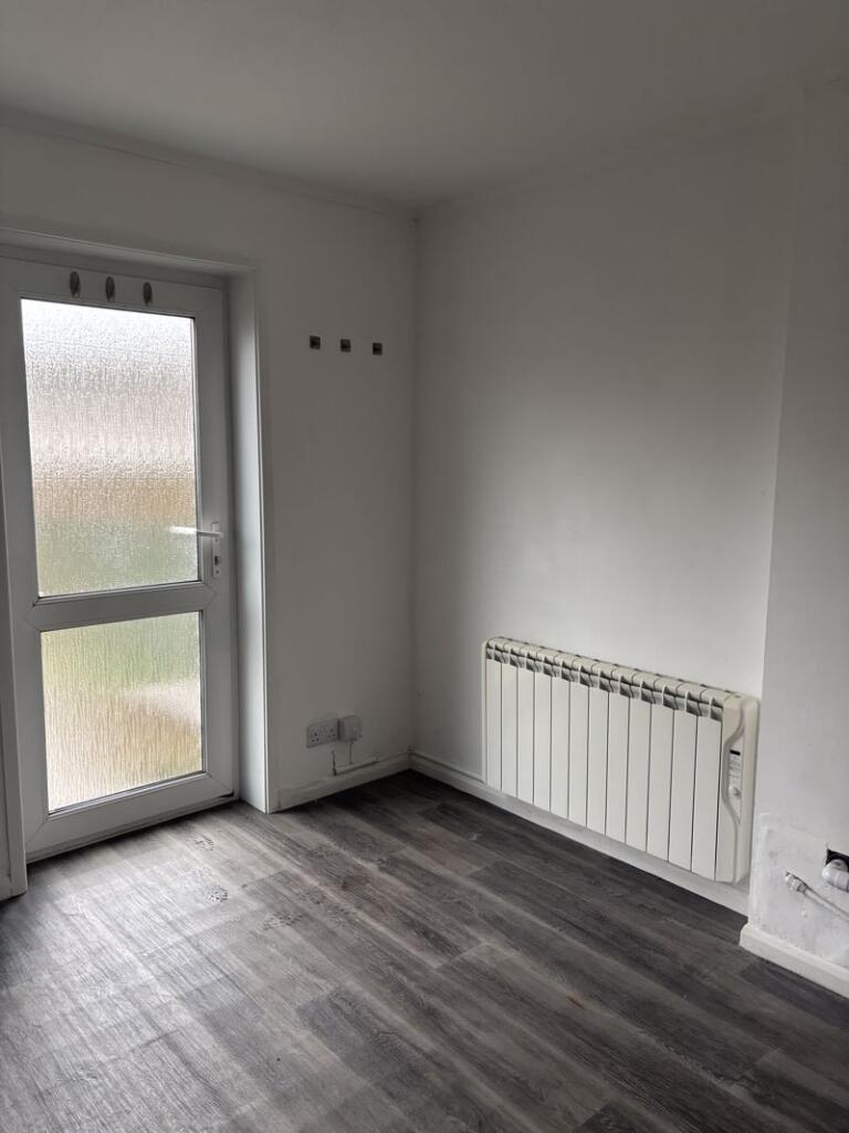
- Garden
- Yes
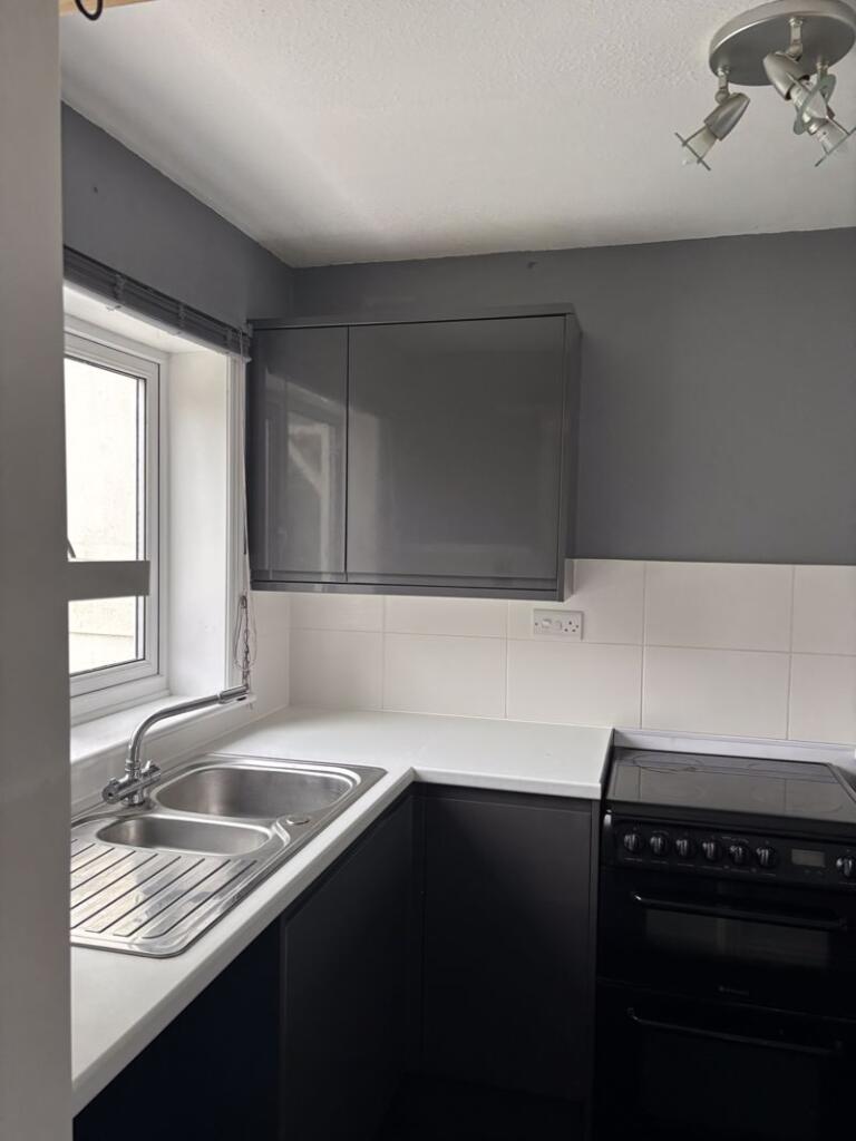
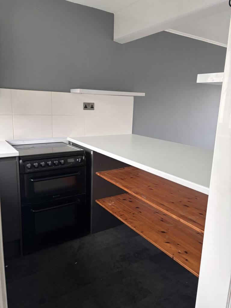
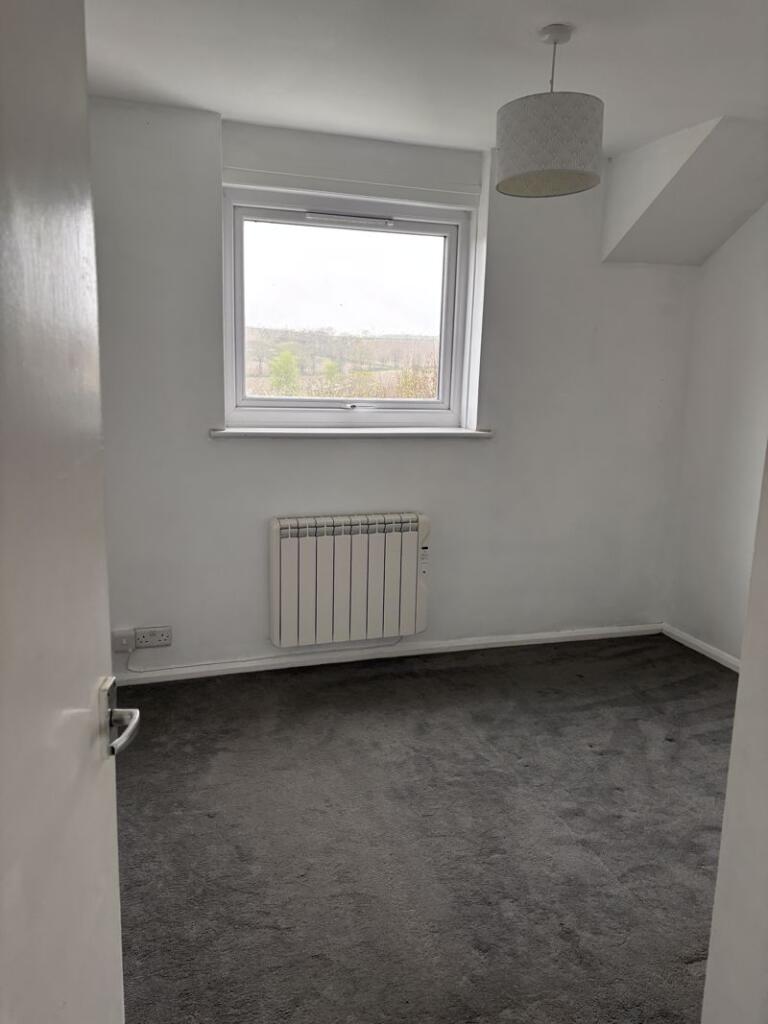
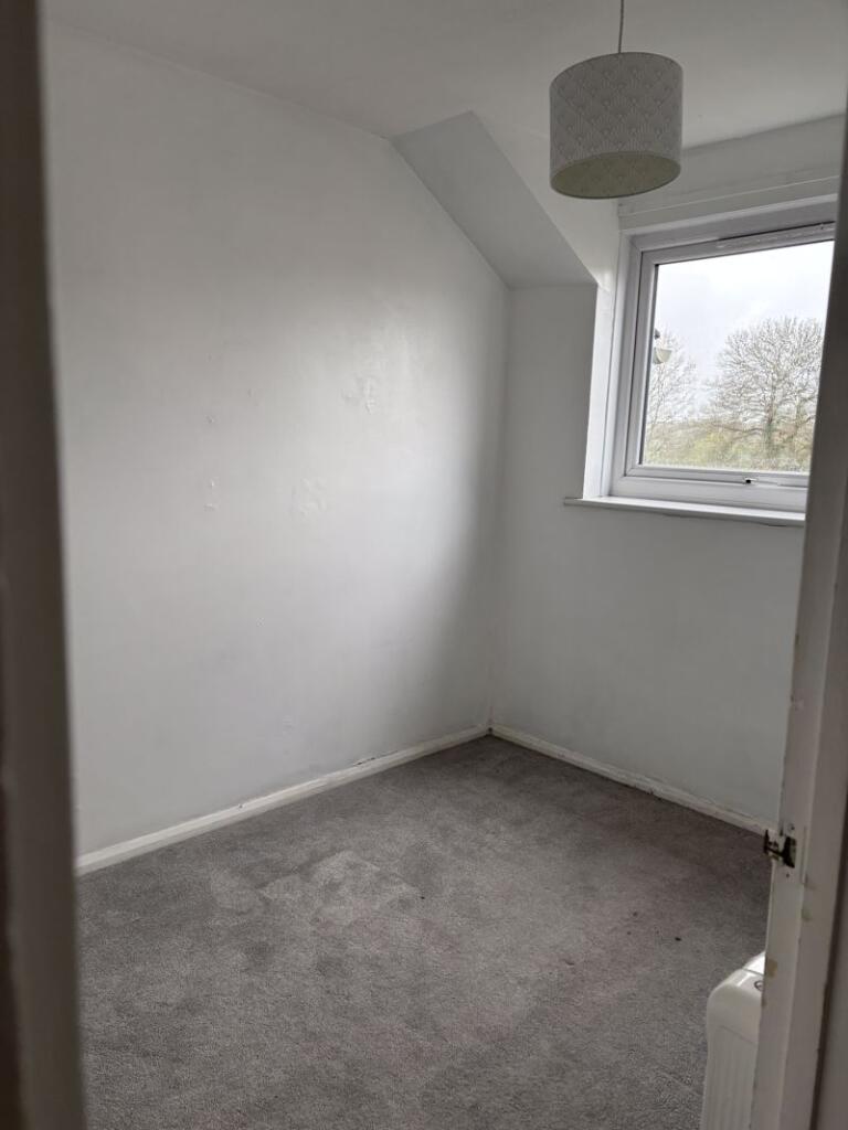
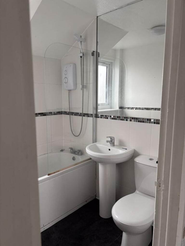
Description
Listed by
St. Columb
Clarke's Sales and Lettings Ltd
Reference: 160758764
EPC Rating & Upgrade Cost
Fetching EPC data… Refresh this page in a moment.
Flood risk
Zone: 1
Risk: Low
Job (default Low)
FENSA Certificates
This property has 2 FENSA certificate(s) on record, indicating window/door installations by FENSA-approved installers.
FENSA Certificate #1128587
Property Details
Street: 28 Bosworgey Close
Town: ST. COLUMB
Postcode: TR9 6SH
Installation Details
Items: 2 windows and 2 doors
Certificate Issued: 21/11/2003
Work Completed: 03/12/2002
This certificate data was retrieved from FENSA's database
FENSA Certificate #393922
Property Details
Street: 28 Bosworgey Close
Town: ST. COLUMB
Postcode: TR9 6SH
Installation Details
Items: 2 windows and 2 doors
Certificate Issued: 14/02/2003
Work Completed: 03/12/2002
This certificate data was retrieved from FENSA's database
What is FENSA? FENSA (Fenestration Self-Assessment Scheme) is a government-authorised scheme that monitors building regulation compliance for replacement windows and doors. Certificates indicate that work was completed by FENSA-approved installers.
Rental Range
Estimated market rent for Cornwall. Low = conservative, Realistic = average, Optimistic = best case.
Based on Local Authority from postcode lookup → Cornwall.
Location
Nearby
Nearest stations, universities and amenities (distance from property).
| Type | Name | Distance |
|---|---|---|
| Bus stop | Carloggas Estate | 0.3 miles |
| Bus stop | St Columb Major | 0.3 miles |
| Shop | Spar | 0.6 miles |
| Train station | St. Columb Road | 2.4 miles |
| Train station | Quintrell Downs | 4.1 miles |
| Hospital | Bodmin Hospital | 9.4 miles |
| Hospital | St Austell Community Hospital | 10.6 miles |
Street-level crime
| Category | Count |
|---|---|
| Violence and sexual offences | 10 |
| Anti-social behaviour | 3 |
| Criminal damage and arson | 2 |
| Public order | 2 |
| Burglary | 1 |
| Total incidents | 18 |
Within 1 mile during Apr 2026. Source: data.police.uk (England & Wales).
Schools nearby
Nearest open schools with Ofsted ratings (England). Closed schools are not shown. Data from Get Information about Schools and Ofsted.
| Name | Type | Distance | Ofsted |
|---|---|---|---|
| St Columb Major Academy | Primary | 0.2 miles | Good — 1 Feb 2023 |
| Mawgan-In-Pydar Primary School | Primary | 2.6 miles | Good — 14 Dec 2023 |
| Indian Queens Primary School | Primary | 2.9 miles | Outstanding — 2 Jun 2014 |
| Trevisker Primary School | Primary | 3.4 miles | Good — 13 May 2013 |
| St Dennis Primary Academy | Primary | 4.4 miles | Good — 19 Mar 2023 |
Rental Comparables
Loading rental comparables for this postcode. Refresh in a few minutes.