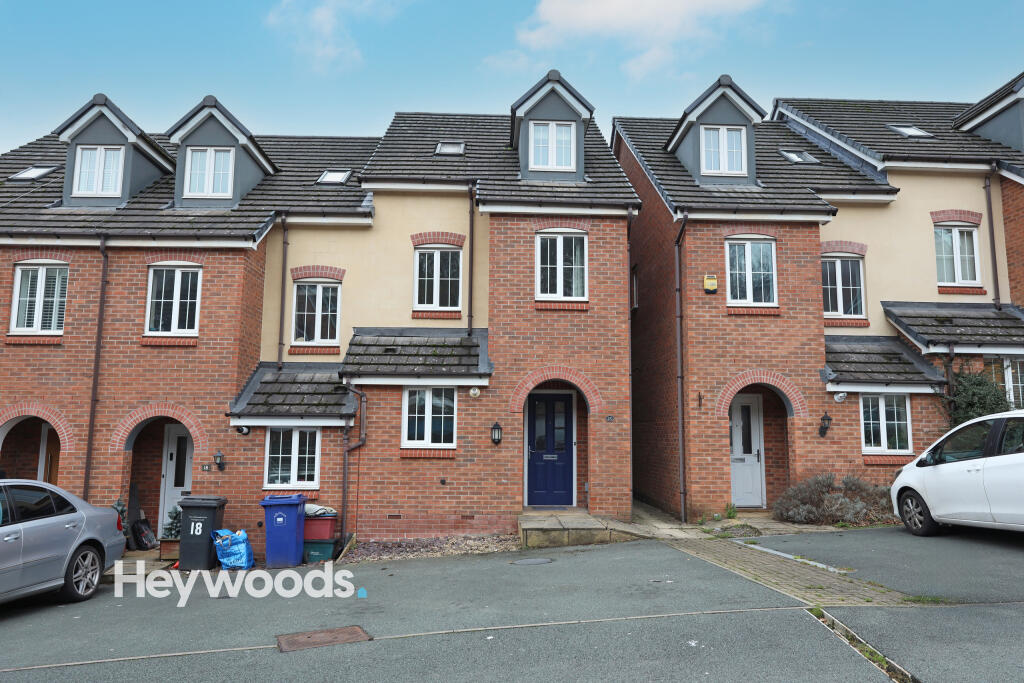
20 TANSY WAY
NEWCASTLE, STAFFORDSHIRE ST5 3FD
£995 pcm
099A0568 099A0523 099A0519 099A0521 099A0524 099A0525 099A0526 099A0527 099A0528 099A0530 099A0532 099A0533 099A0535 099A0536 099A0537 099A0538 099A0539 099A0540 099A0541 099A0542 099A0544 099A0545 099A0546 099A0547 099A0549 099A0550 099A0551 099A0552 099A0554 099A0555 099A0557 099A0558 099A0560 099A0561 099A0562 099A0563 099A0564 099A0565 099A0566 099A0567
/ 40
Property details
Floor area
90 m²
Council tax band
D
EPC rating
C
Year built
England and Wales: 2003-2006
Deprivation
Decile 9 (29,306 of 33,755)
Street crime
329 incidents within 1 mile (Apr 2026)
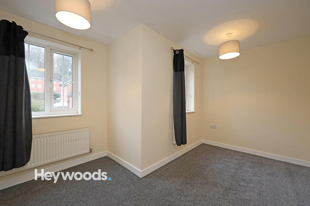
Key features
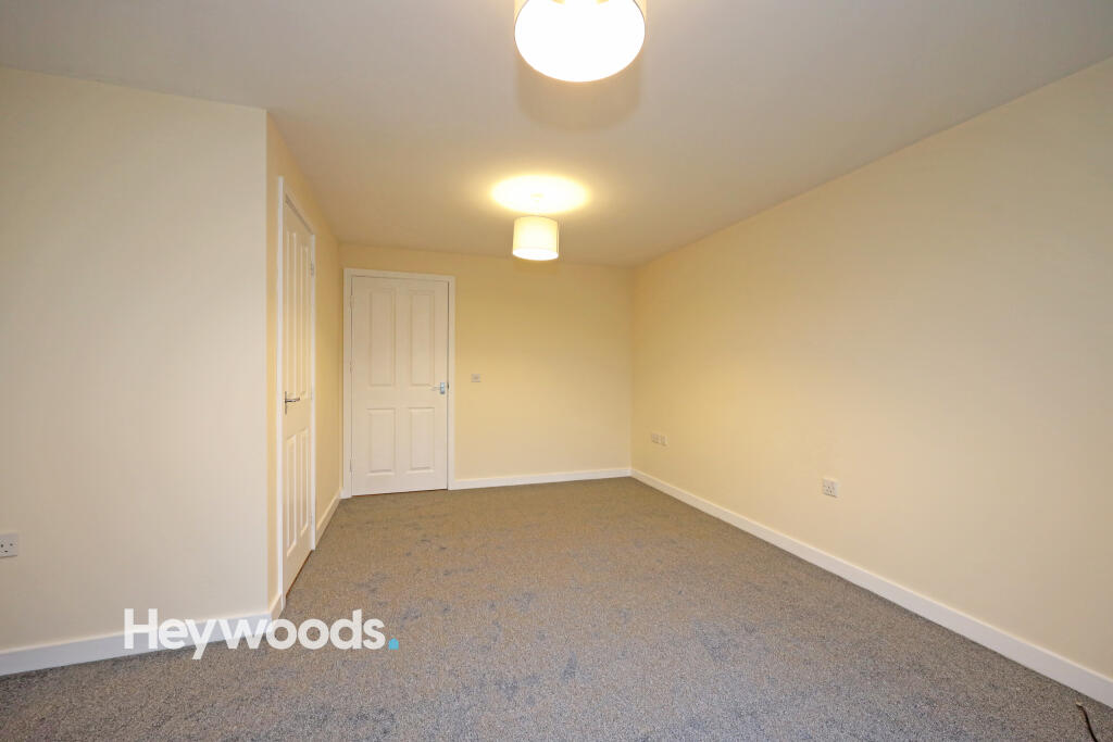
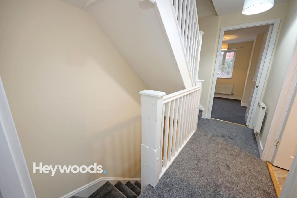
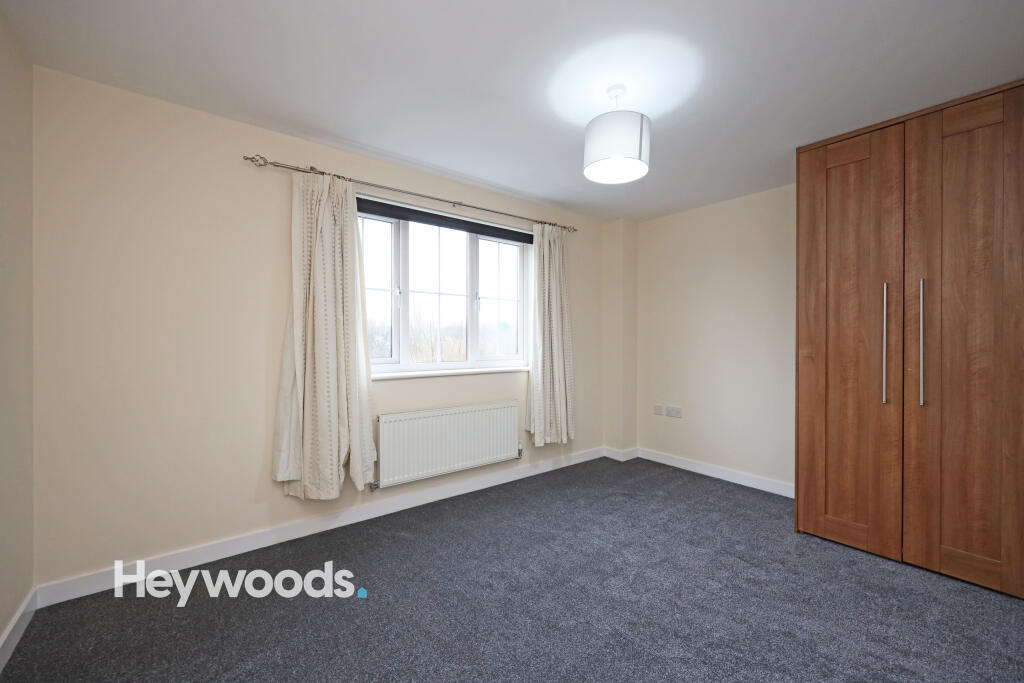
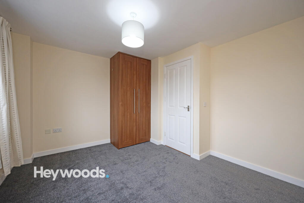
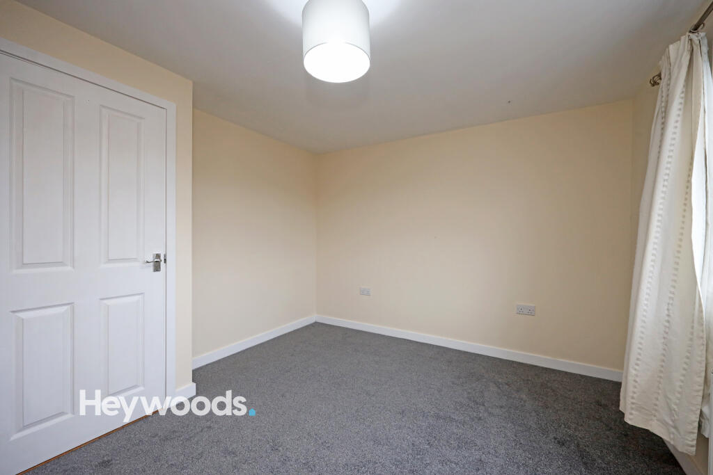
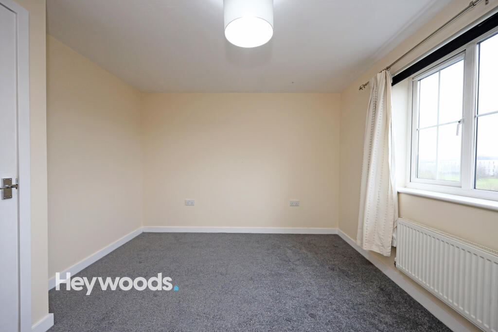
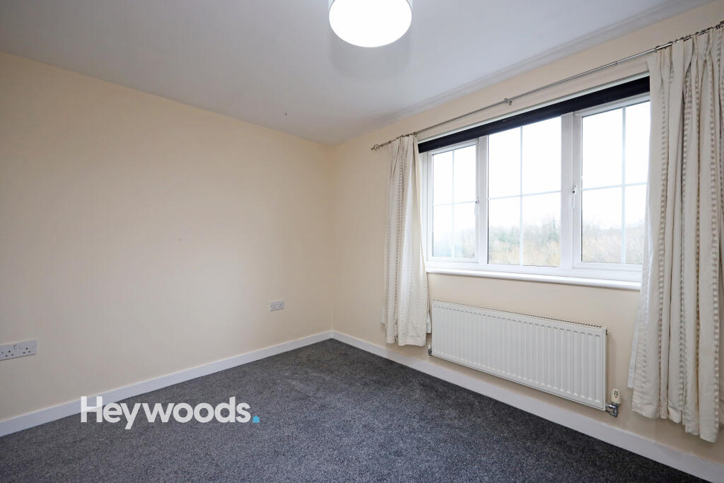
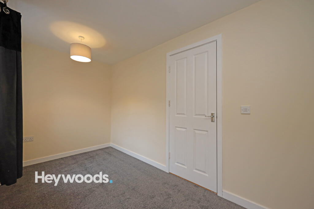
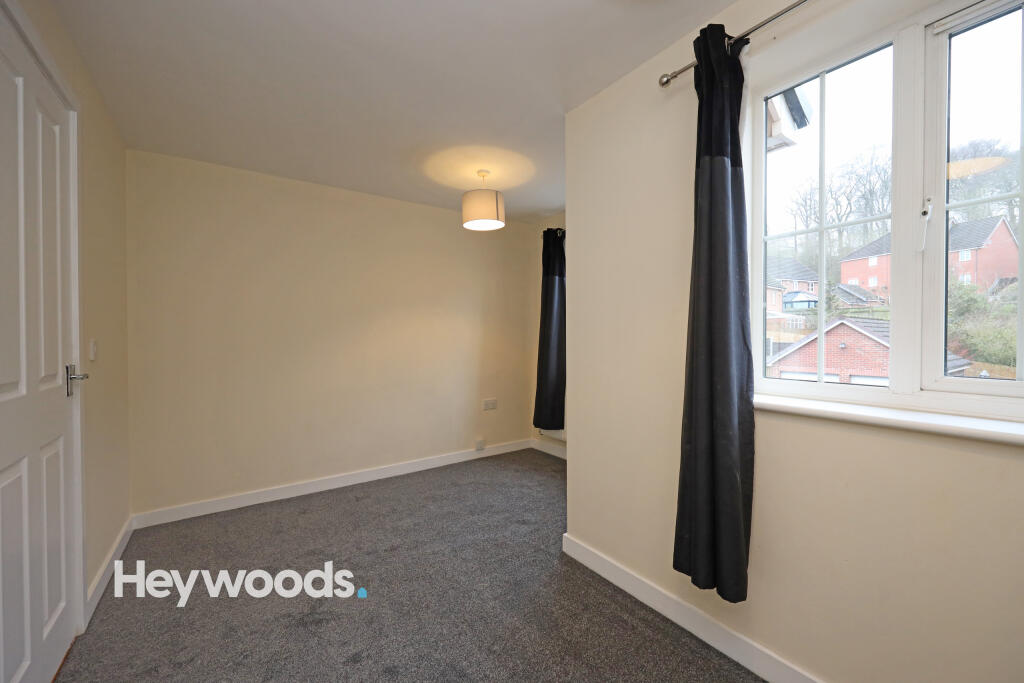
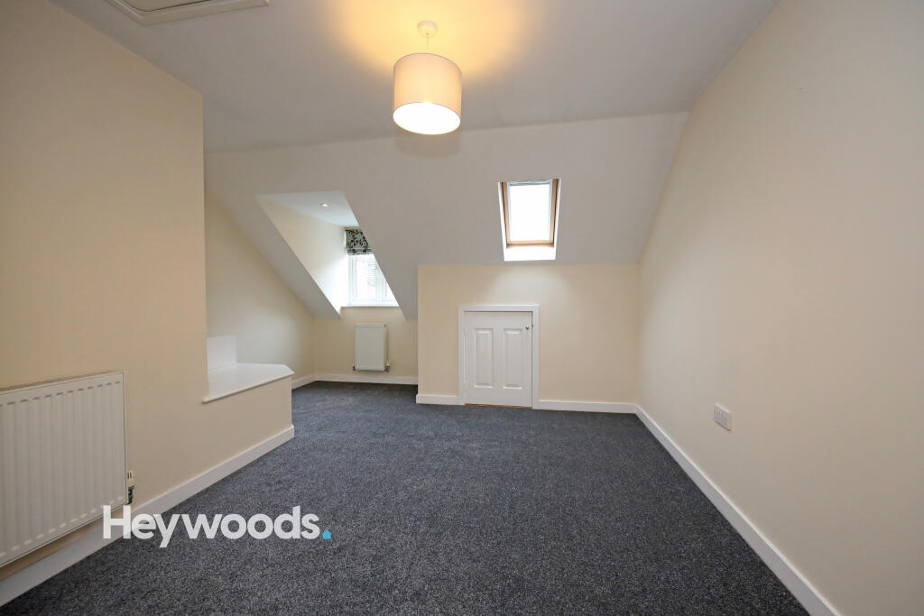
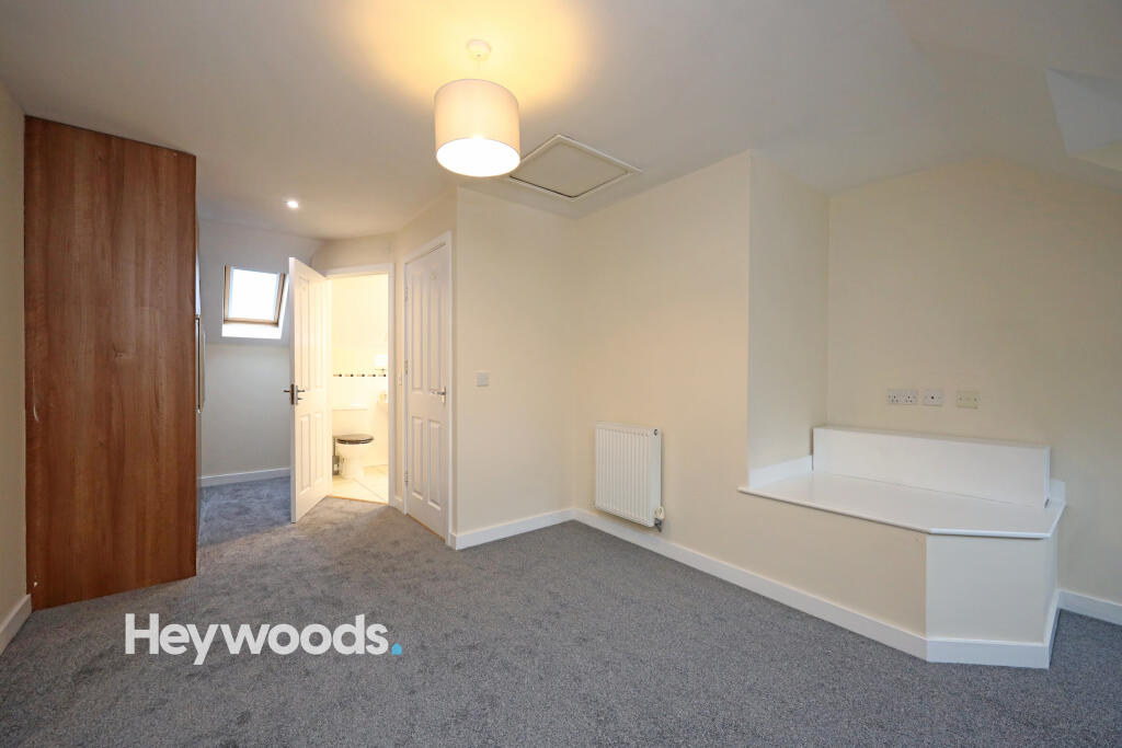
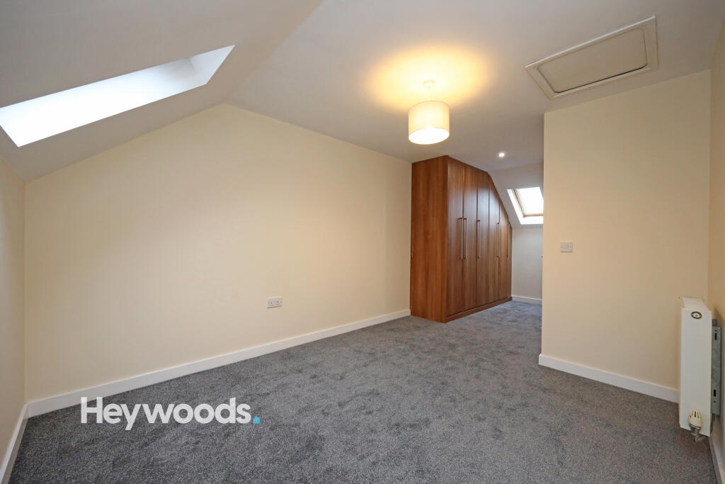
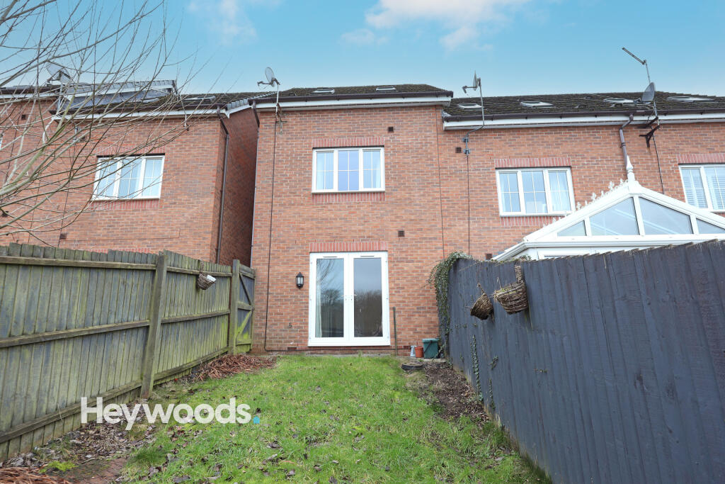
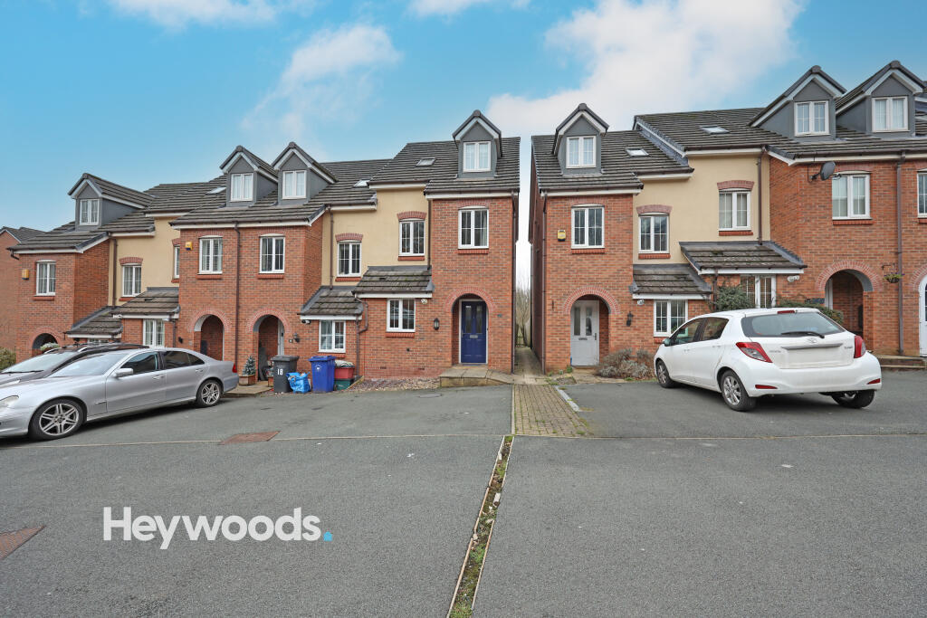
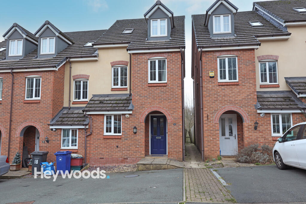
- Three Bedroom property
- Walking distance to town
- Popular location
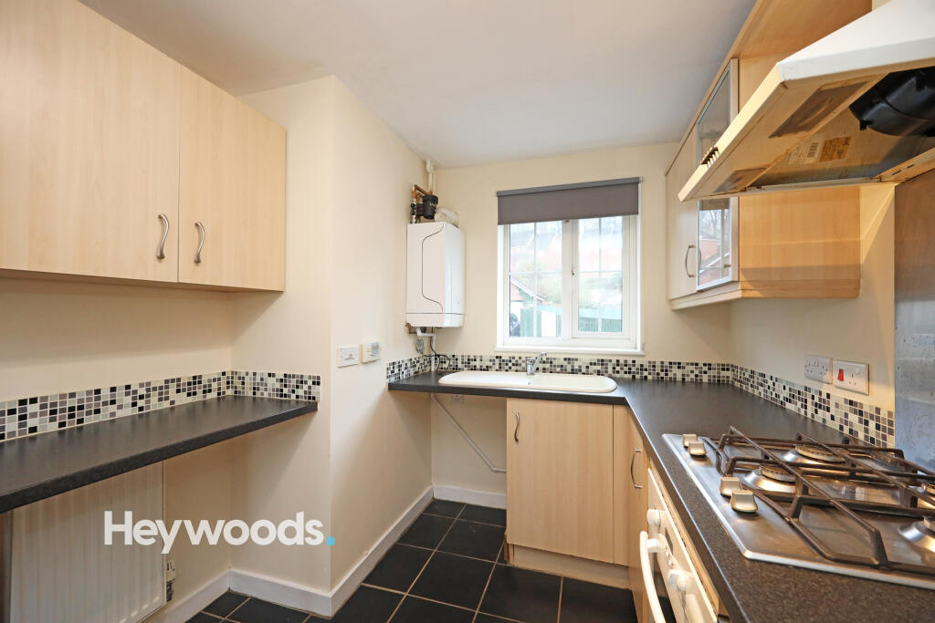
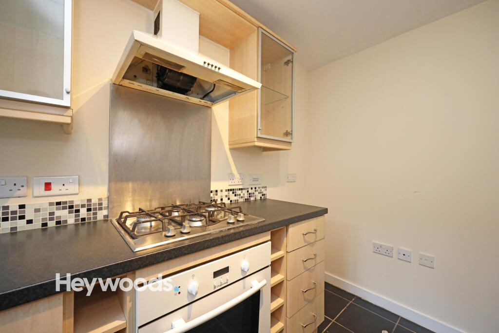
- Gas central heating
- Off road parking
Additional details
- Parking
- Off street
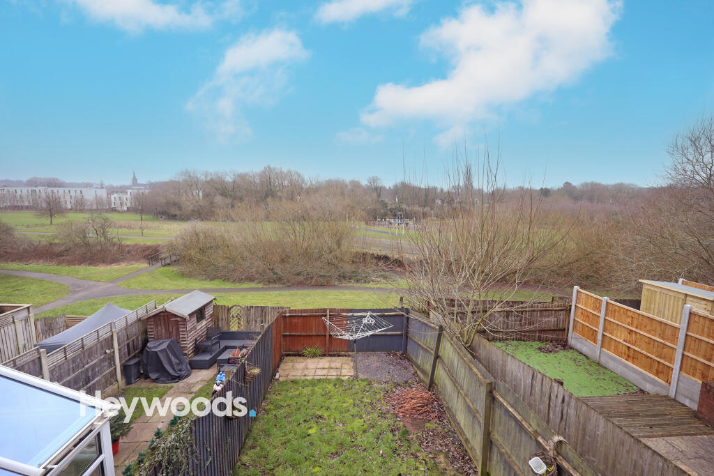
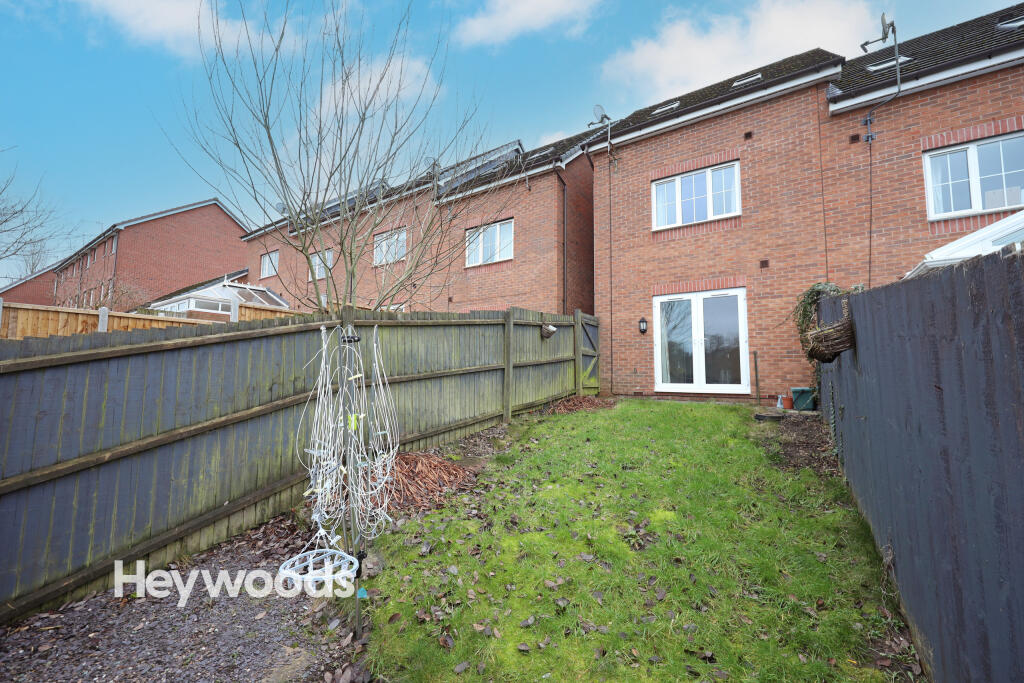
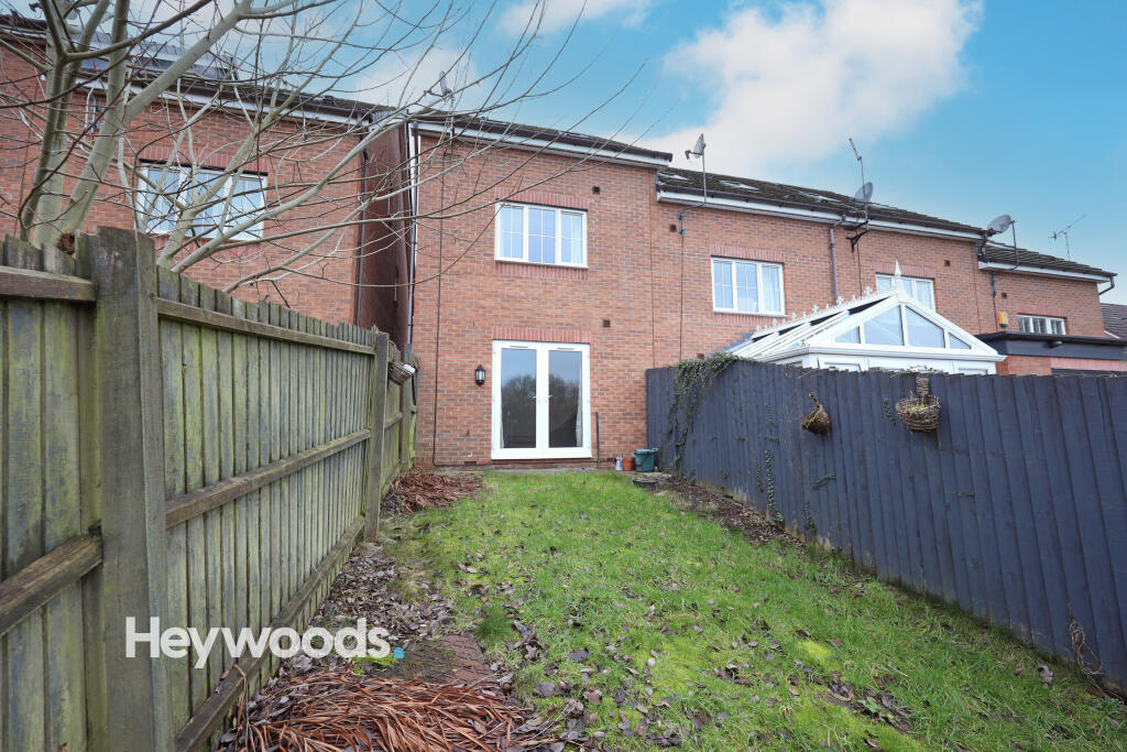
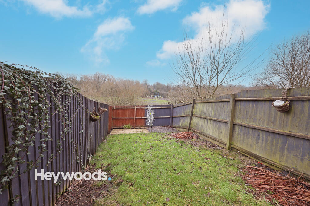
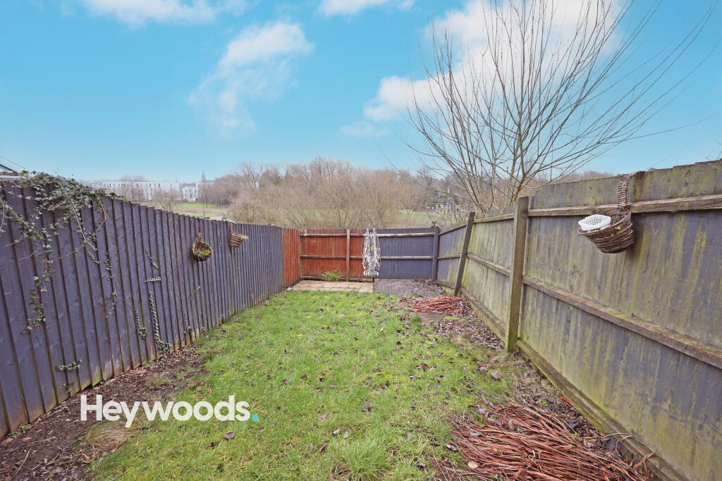
- Garden
- Yes
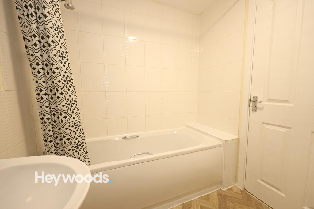
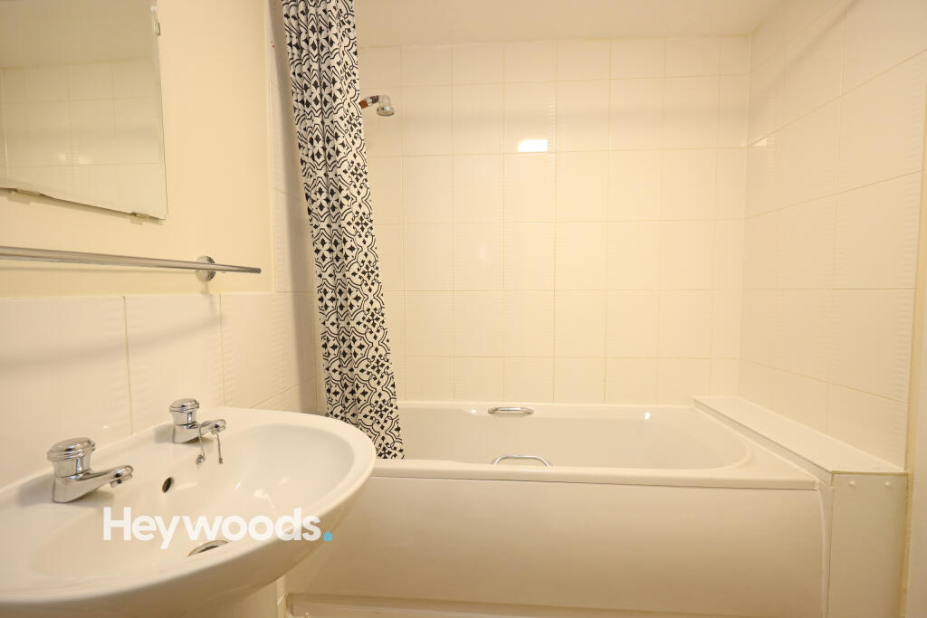
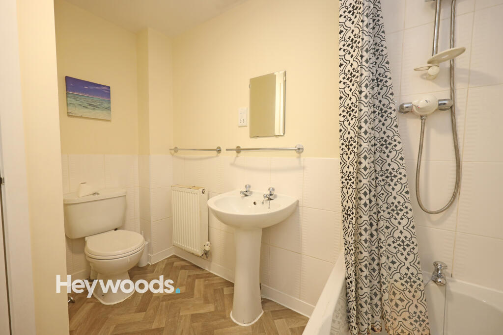
Description
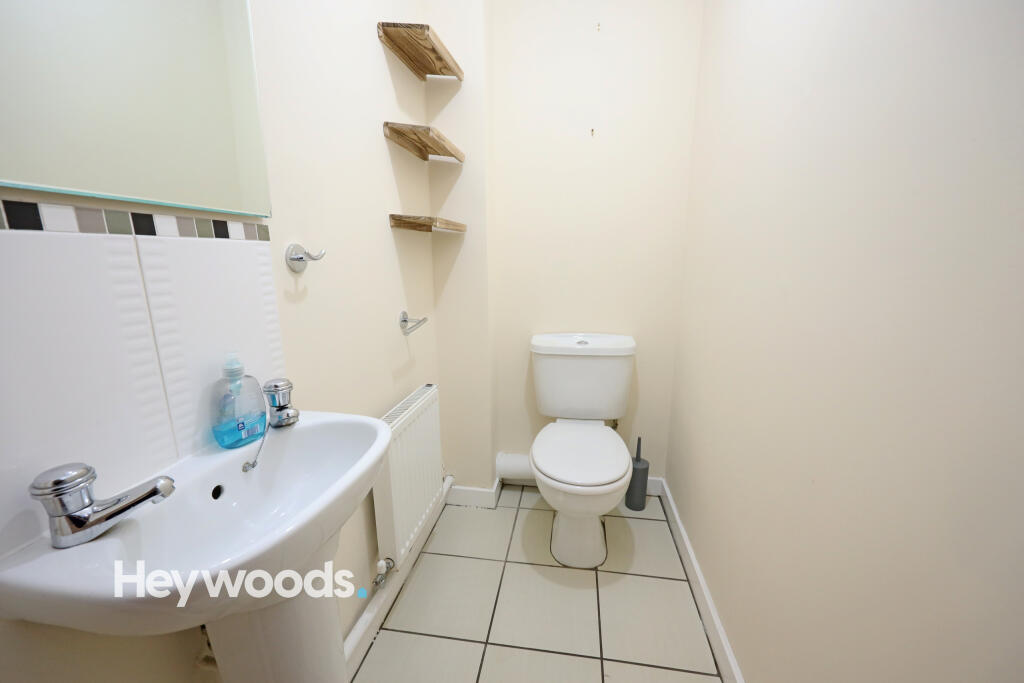
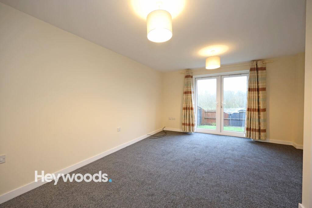
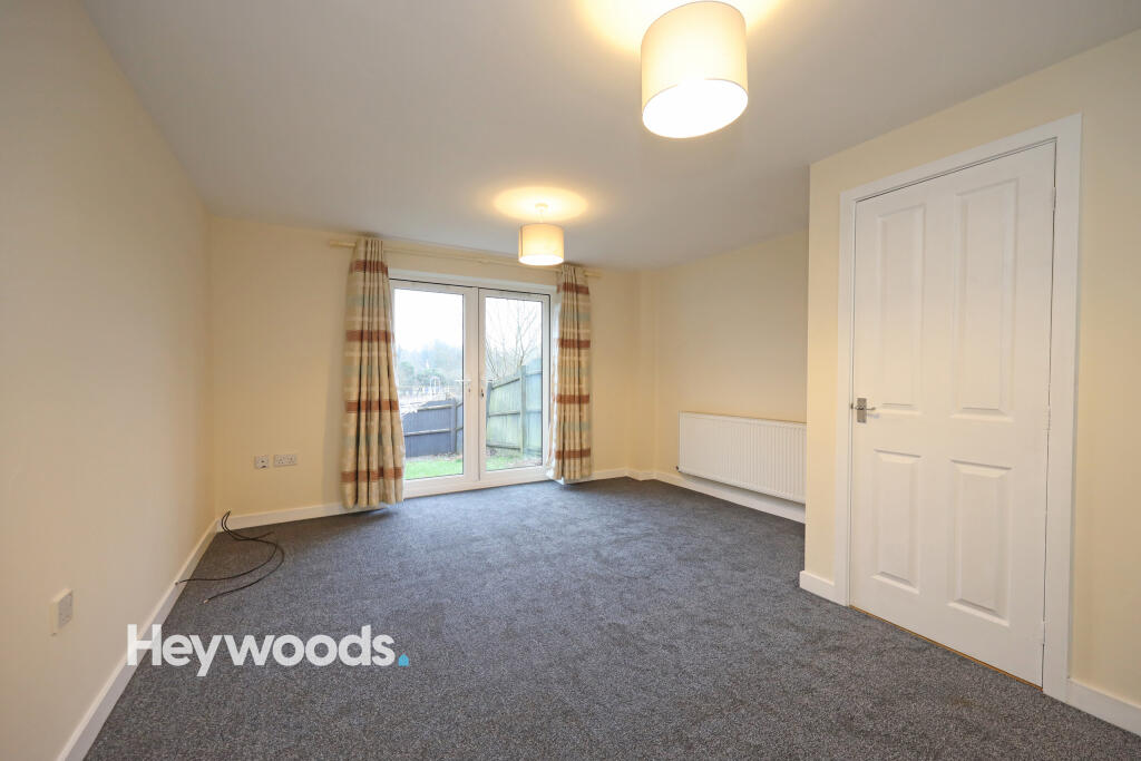
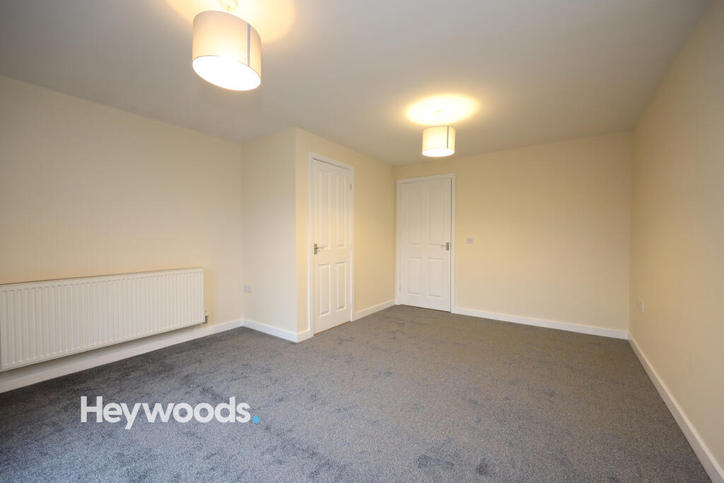
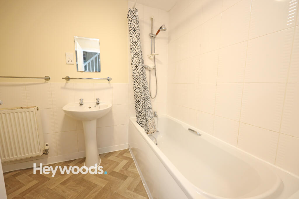
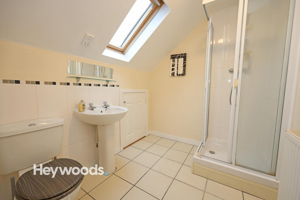
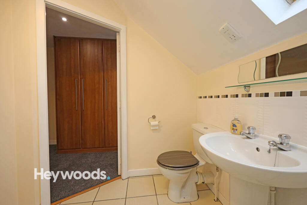
If you are looking for that extra space and that new fresh feeling then a viewing is highly advised. Ideally situated with a brisk walk to Newcastle town centre and easy access to the A34, A500 and M6 there will be no need to sit in that morning traffic. This family home benefits from gas central heating, en suite to master bedroom, off - road parking and secure garden to rear.
Listed by
Newcastle-under-Lyme
Heywoods
Reference: 171639770
EPC Rating & Upgrade Cost
Current rating: C
Potential rating: B
Inspection date: 21/09/2021
Expiry date: 20/09/2031
Current heating cost: £438/year
Potential heating cost: £440/year
Est. upgrade cost to C: £9,500
Recommendations
- Solar water heating (£4,000 - £6,000)
- Solar photovoltaic panels, 2.5 kWp (£3,500 - £5,500)
Flood risk
Zone: 1
Risk: Low
Job (default Low)
EPC Graphs
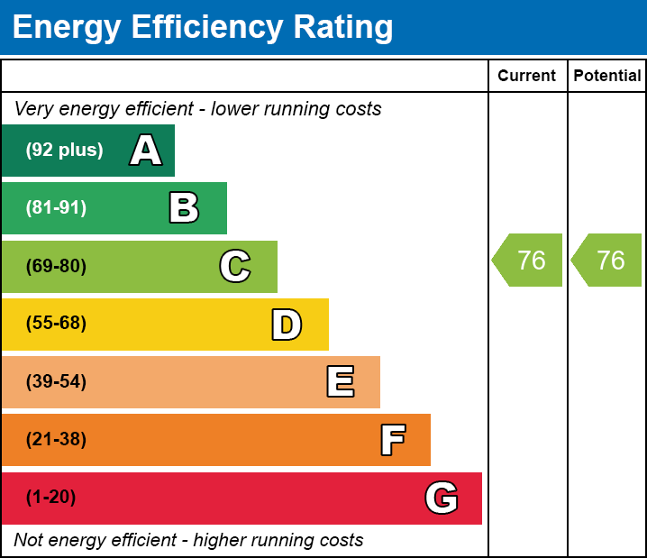
EE
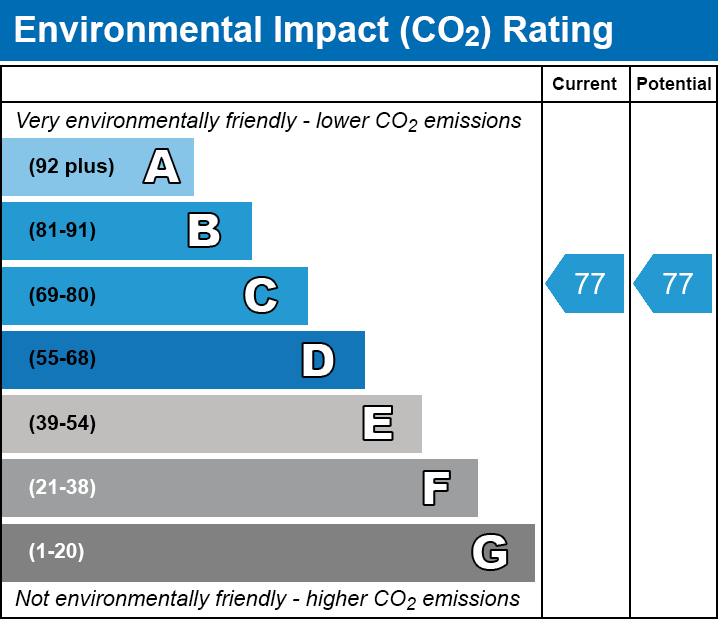
EI
Rental Range
Estimated market rent for Newcastle-under-Lyme. Low = conservative, Realistic = average, Optimistic = best case.
Based on Local Authority from postcode lookup → Newcastle-under-Lyme.
LHA (30th percentile) floor for Staffordshire North: £593/mo (Apr 2025 – Mar 2026)
Location
Nearby
Nearest stations, universities and amenities (distance from property).
| Type | Name | Distance |
|---|---|---|
| Bus stop | Orchard House | 0.1 miles |
| Shop | Homebase | 0.2 miles |
| Shop | Enable.Business | 0.2 miles |
| Hospital | Royal Stoke University Hospital | 0.4 miles |
| Hospital | Harplands Hospital | 0.6 miles |
| Train station | Stoke-on-Trent | 1.8 miles |
| University | University of Staffordshire Stoke Campus | 1.8 miles |
| University | Keele University | 2.0 miles |
| Train station | Longport | 2.7 miles |
Street-level crime
| Category | Count |
|---|---|
| Violence and sexual offences | 99 |
| Anti-social behaviour | 64 |
| Public order | 32 |
| Criminal damage and arson | 26 |
| Shoplifting | 26 |
| Other theft | 19 |
| Drugs | 16 |
| Burglary | 15 |
| Vehicle crime | 9 |
| Other crime | 7 |
| Robbery | 6 |
| Possession of weapons | 5 |
| Theft from the person | 4 |
| Bicycle theft | 1 |
| Total incidents | 329 |
Within 1 mile during Apr 2026. Source: data.police.uk (England & Wales).
Schools nearby
Nearest open schools with Ofsted ratings (England). Closed schools are not shown. Data from Get Information about Schools and Ofsted.
| Name | Type | Distance | Ofsted |
|---|---|---|---|
| Coppice Academy | Other | 0.2 miles | Good — 6 Mar 2014 |
| Co-op Academy Friarswood | Primary | 0.3 miles | Good — 8 Mar 2013 |
| Hassell Primary School | Primary | 0.5 miles | Good — 25 Oct 2023 |
| Blackfriars Academy | Other | 0.5 miles | Outstanding — 6 Feb 2013 |
| Newcastle-under-Lyme School | Other | 0.6 miles | — (No rating) |
Rental Comparables
Residential lets from OpenRent and Rightmove for the area (same bedroom count). Use to validate rent estimates. Student lets are excluded.
Average rent: £947/mo (36 listings)