Michigan Point Tower D
18 Michigan Avenue, Salford, Lancashire, M50, M50 2HN
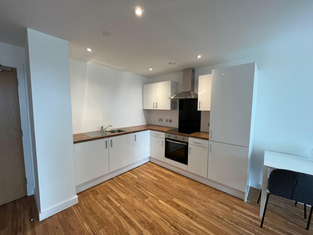
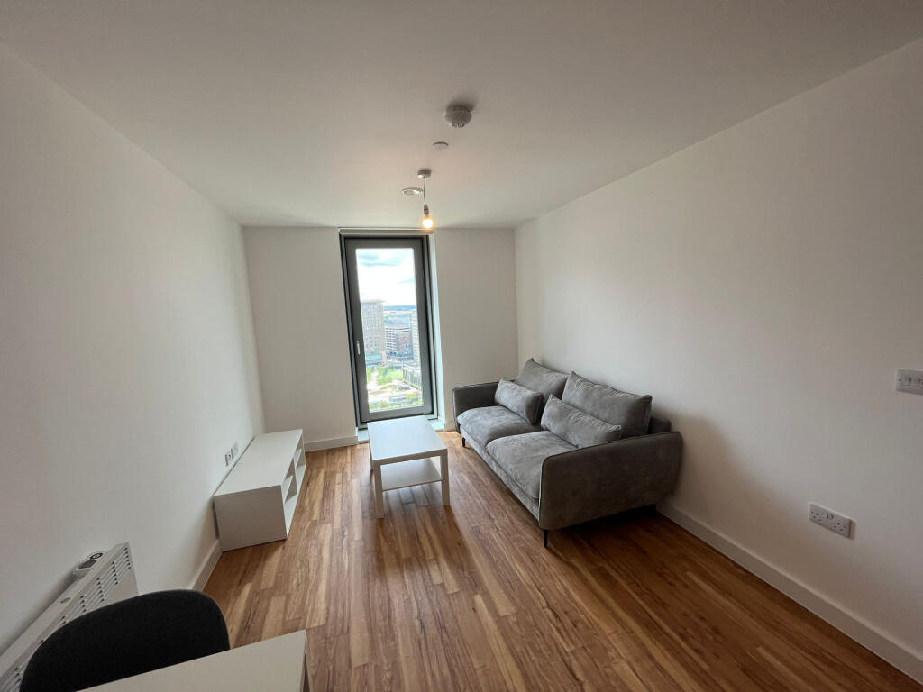
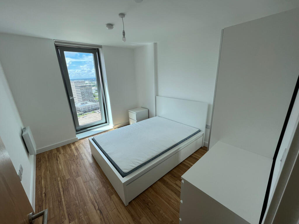
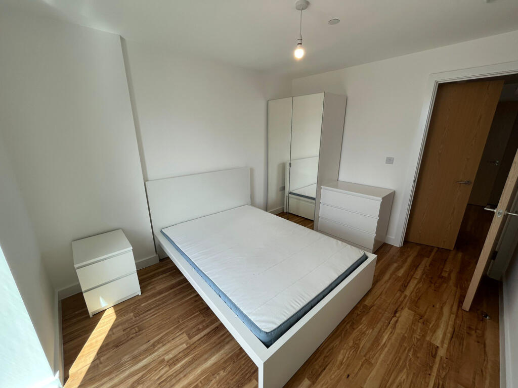
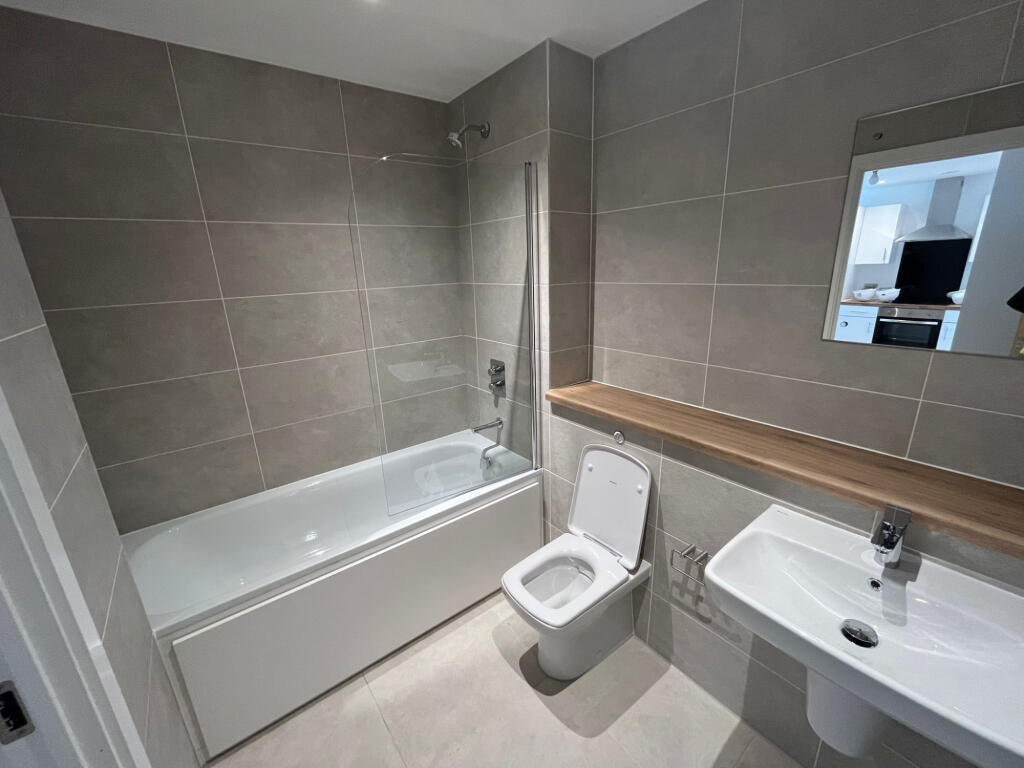
Photo 1 Photo 2 Photo 3 Photo 4 Photo 5
/ 5
Property details
Street crime
0 incidents within 1 mile (Apr 2026)
Key features
- Shops and amenities nearby
- Gym
- Fully Furnished
- Fitted Kitchen
- Video Entry
- Double glazing
- Concierge
- Close to public transport
- Council Tax Band B
Additional details
- Broadband
- ADSL copper wire
- Listed property
- No
- Restrictions
- No
- Required access
- No
- Rights of way
- No
- Flooded in last 5 years
- No
- Flood defences
- No
Description
Michigan Point also features a 24hour onsite gym available for tenant use at no extra cost, in addition to this, there is secure bike storage and an overnight security guard based on the reception of the building every evening 7 days a week.
Apartment comes fully furnished with modern kitchen and sleek bathroom.
Council Tax B.
EPC Rating B.
Listed by
Manchester
Intus Lettings Ltd
Reference: 164349617
EPC Rating & Upgrade Cost
Fetching EPC data… Refresh this page in a moment.
Flood risk
Zone: 1
Risk: Low
Job (default Low)
EPC Graphs
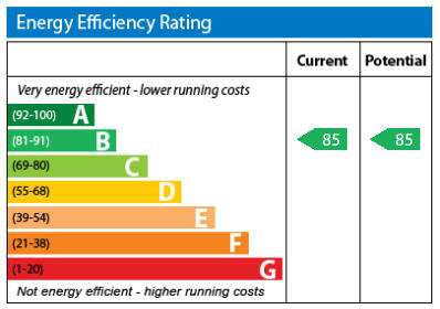
EPC Graph
Rental Range
Estimated market rent for Salford. Low = conservative, Realistic = average, Optimistic = best case.
Based on Local Authority from postcode lookup → Salford.
LHA (30th percentile) floor for Central Greater Manchester: £773/mo (Apr 2025 – Mar 2026)
Location
Address
98 The Quays
Nearby
Nearest stations, universities and amenities (distance from property).
| Type | Name | Distance |
|---|---|---|
| Shop | Sainsbury's Local | 0.1 miles |
| Bus stop | MediaCityUK, The Quays / NE-bound MediaCityUK | 0.1 miles |
| Bus stop | Broadway, Broadway / outside Paragon House | 0.1 miles |
| Shop | CEF | 0.2 miles |
| Hospital | Salford Gastric Bypass Surgery | 0.9 miles |
| Train station | Salford Crescent | 1.1 miles |
| Train station | Trafford Park | 1.5 miles |
| University | UCEN Manchester (City Campus) | 2.3 miles |
| University | University of Law | 2.3 miles |
| Hospital | The Ailsa Craig Medical Practise | 3.7 miles |
Street-level crime
| Category | Count |
|---|---|
| Total incidents | 0 |
Within 1 mile during Apr 2026. Source: data.police.uk (England & Wales).
Schools nearby
Nearest open schools with Ofsted ratings (England). Closed schools are not shown. Data from Get Information about Schools and Ofsted.
| Name | Type | Distance | Ofsted |
|---|---|---|---|
| AldridgeUTC@MediaCityUK | Secondary | 0.2 miles | Good — 27 Apr 2023 |
| Thompsons Academy trading as Navigators | Other | 0.4 miles | — (No rating) |
| Oasis Academy MediaCityUK | Secondary | 0.4 miles | Good — 1 Jul 2016 |
| St Joseph's RC Primary School | Primary | 0.6 miles | Good — 24 May 2022 |
| Lark Hill Community Primary School | Primary | 0.7 miles | Good — 21 Mar 2022 |
Rental Comparables
Residential lets from OpenRent and Rightmove for the area (same bedroom count). Use to validate rent estimates. Student lets are excluded.
| Title | Rent | Beds | Distance | As seen on |
|---|---|---|---|---|
| 1 Bed Flat, N V Building, M50 | £1,195/mo | 1 | 0.07 miles | OpenRent |
Average rent: £1,195/mo (1 listing)