13 PROSPECT GROVE
GRAVESEND, GRAVESEND, KENT DA12 2SA

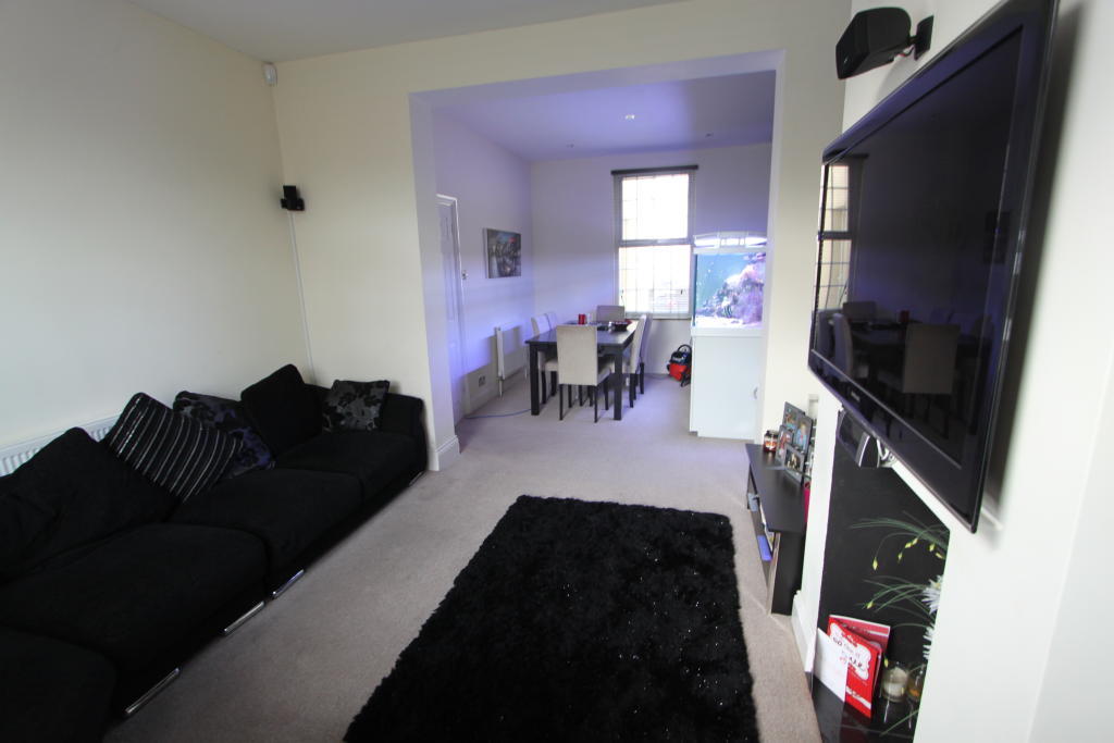
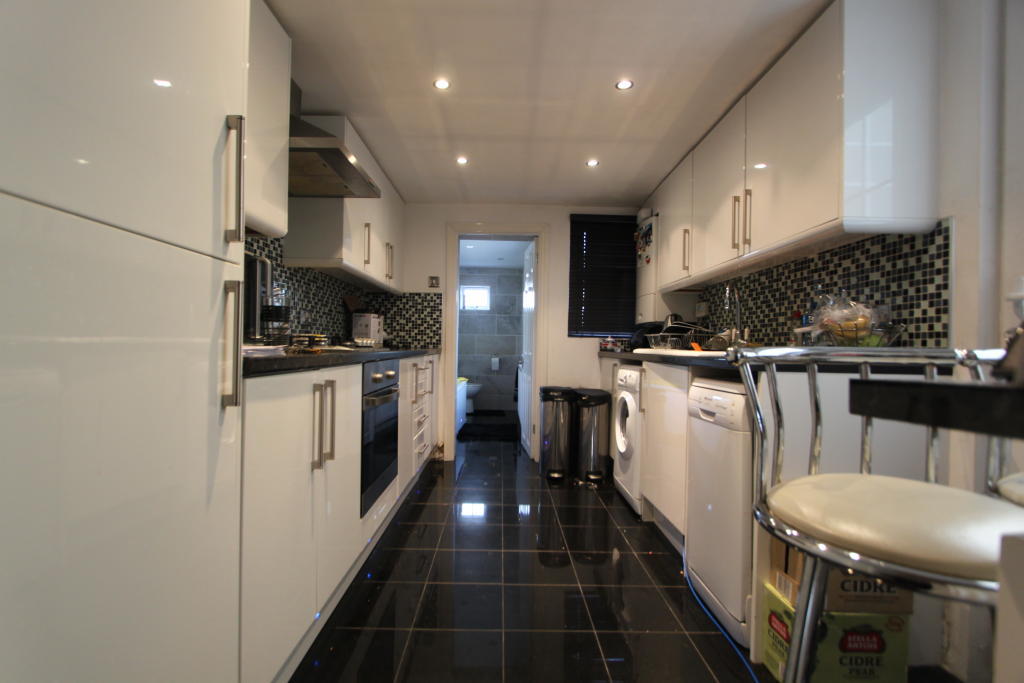
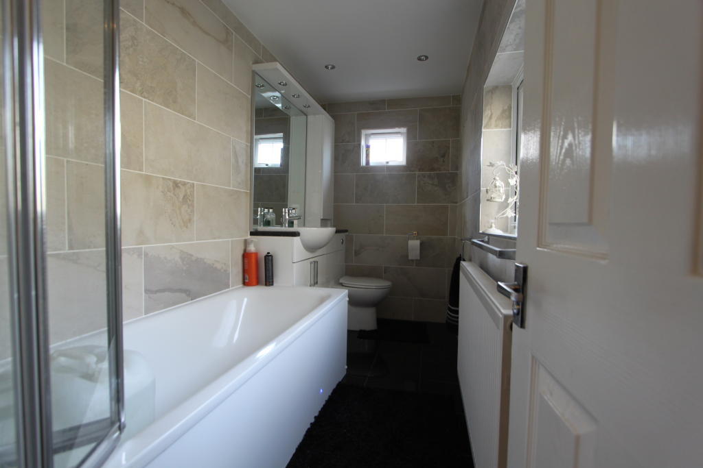
Photo 1 Photo 2 Photo 3 Photo 4
/ 4
Property details
Floor area
91 m²
EPC rating
D
Year built
England and Wales: 1900-1929
Deprivation
Decile 3 (7,498 of 33,755)
Street crime
337 incidents within 1 mile (Apr 2026)
Key features
- Central Heating
- Double Glazed
- Garden
- Close to Town Centre and Station
- 2 Bathrooms
Additional details
- Heating
- Double glazing, Gas central
- Parking
- On street
- Garden
- Yes
Description
Within close proximity to town centre and mainline BR station.
View today to avoid disappointment.
EPC Rating - F
Council Tax Band - C
Listed by
Gravesend
Orange Property Services
Reference: 43474651
EPC Rating & Upgrade Cost
Current rating: D
Potential rating: B
Inspection date: 25/01/2019
Expiry date: 24/01/2029
Est. upgrade cost to C: £26,550
Recommendations
- 50 mm internal or external wall insulation (£4,000 - £14,000)
- Floor insulation (suspended floor) (£800 - £1,200)
- Floor insulation (solid floor) (£4,000 - £6,000)
- Low energy lighting for all fixed outlets (£50)
- Solar water heating (£4,000 - £6,000)
- Solar photovoltaic panels, 2.5 kWp (£5,000 - £8,000)
Flood risk
Zone: 1
Risk: Low
Job (default Low)
Rental Range
Estimated market rent for Gravesham. Low = conservative, Realistic = average, Optimistic = best case.
Based on Local Authority from postcode lookup → Gravesham.
LHA (30th percentile) floor for North West Kent: £1,197/mo (Apr 2025 – Mar 2026)
Location
Nearby
Nearest stations, universities and amenities (distance from property).
| Type | Name | Distance |
|---|---|---|
| Bus stop | Church Walk | 0.1 miles |
| Shop | Premier CJC Convenience Store | 0.1 miles |
| Shop | Milton Road Newsagents | 0.2 miles |
| Train station | Gravesend | 0.7 miles |
| Hospital | Gravesham Community Hospital | 0.8 miles |
| Train station | Tilbury Town | 2.0 miles |
| Hospital | Thurrock Community Hospital | 4.4 miles |
| University | University of Greenwich | 4.9 miles |
| University | Unknown | 7.0 miles |
Street-level crime
| Category | Count |
|---|---|
| Violence and sexual offences | 126 |
| Anti-social behaviour | 67 |
| Criminal damage and arson | 42 |
| Other theft | 23 |
| Vehicle crime | 17 |
| Shoplifting | 15 |
| Public order | 12 |
| Drugs | 11 |
| Robbery | 7 |
| Burglary | 6 |
| Other crime | 4 |
| Possession of weapons | 4 |
| Bicycle theft | 2 |
| Theft from the person | 1 |
| Total incidents | 337 |
Within 1 mile during Apr 2026. Source: data.police.uk (England & Wales).
Schools nearby
Nearest open schools with Ofsted ratings (England). Closed schools are not shown. Data from Get Information about Schools and Ofsted.
| Name | Type | Distance | Ofsted |
|---|---|---|---|
| Gravesend Grammar School | Secondary | 0.2 miles | Outstanding — 17 Jul 2015 |
| Chantry Community Primary School | Primary | 0.2 miles | Good — 20 Jan 2017 |
| St John's Catholic Primary School, Gravesend | Primary | 0.3 miles | Good — 10 Sep 2014 |
| Holy Trinity Church of England Primary School | Primary | 0.3 miles | Good — 17 Oct 2018 |
| St John's Catholic Comprehensive | Secondary | 0.4 miles | Good — 4 Dec 2014 |
Rental Comparables
Rental listings exist nearby, but none matched the 3-bedroom count for this property.