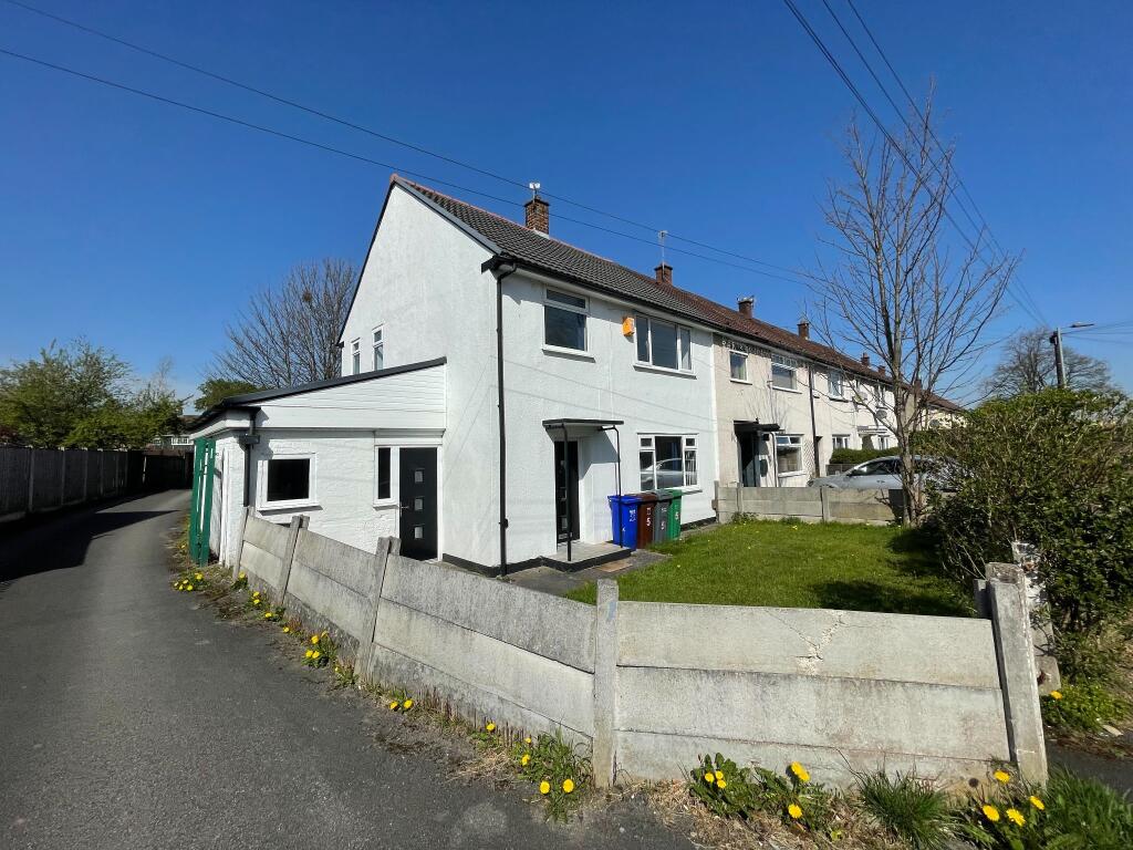
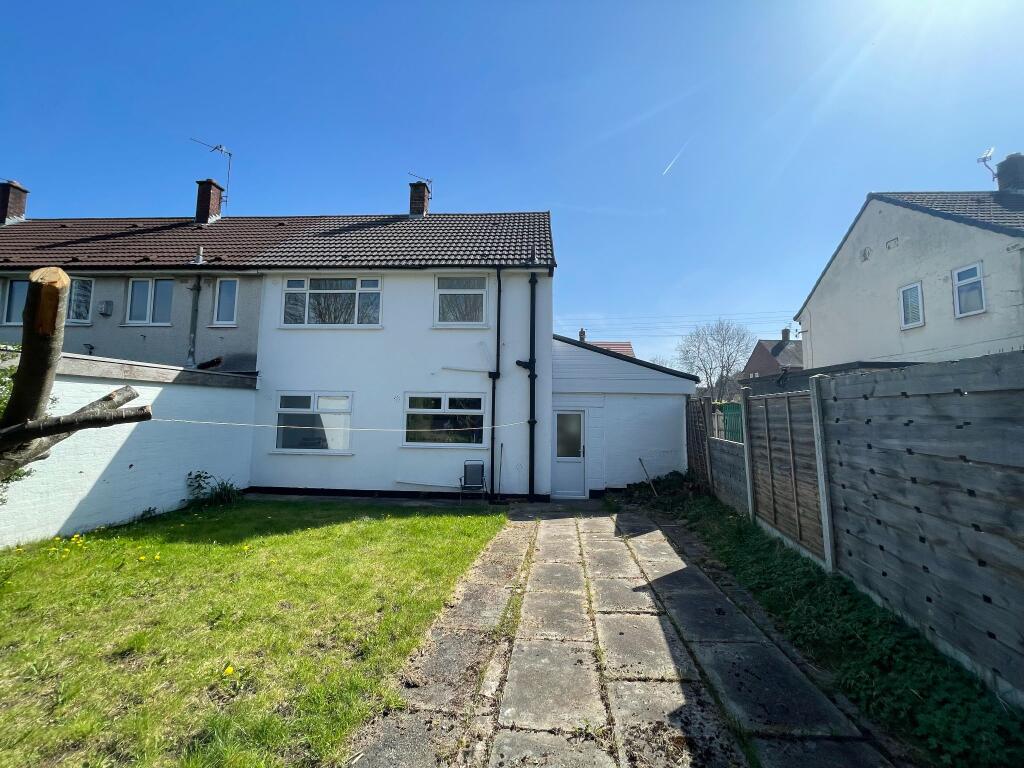
5 CRICKLEWOOD ROAD
MANCHESTER, GREATER MANCHESTER M22 1AT
£245,000
Property details
Tenure
FREEHOLD
Floor area
73 m²
Council tax band
A
Year built
England and Wales: 1950-1966
Last sold
£85,000 Feb 2017
Price per m²
£3,356/m²
Local average
£233,784 (+4.8%)
Deprivation
Decile 2 (3,614 of 33,755)
Street crime
0 incidents within 1 mile (Apr 2026)
Key features
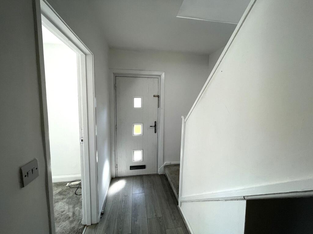
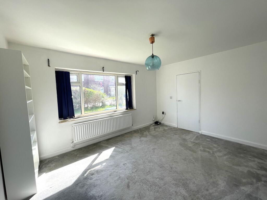
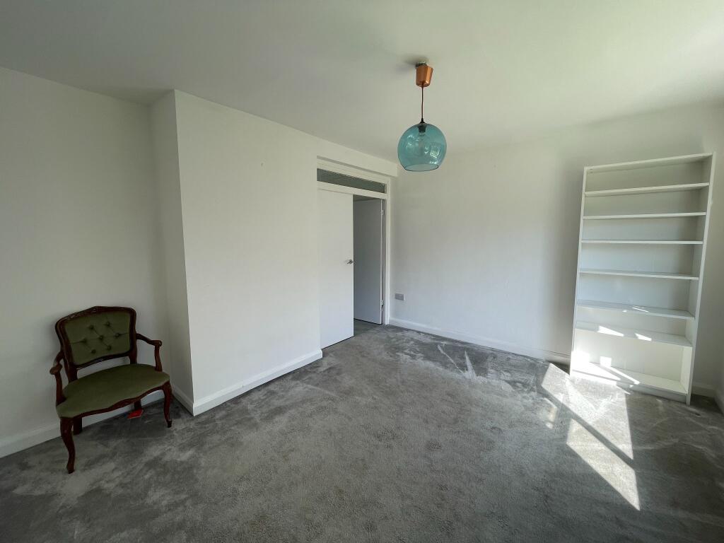
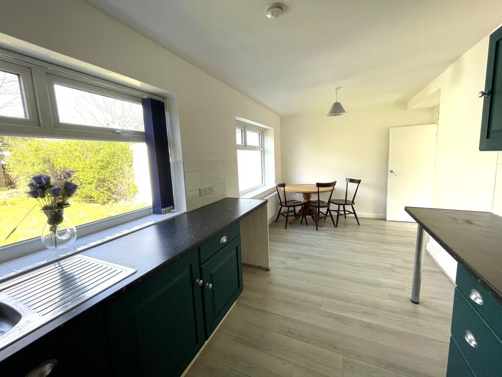
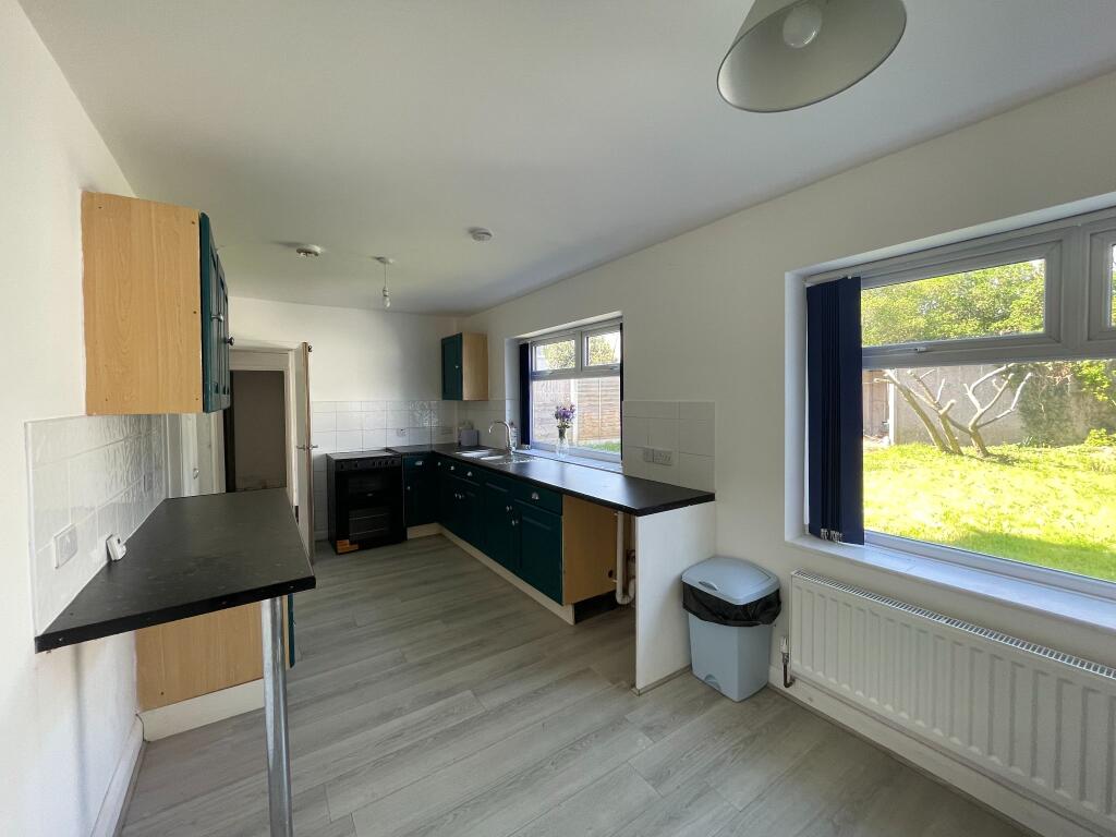
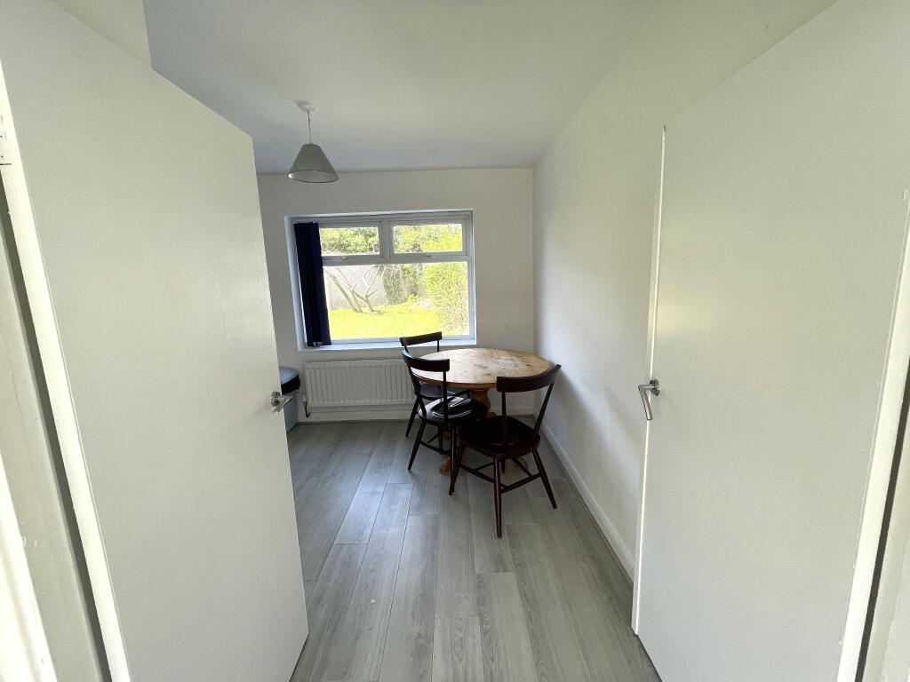
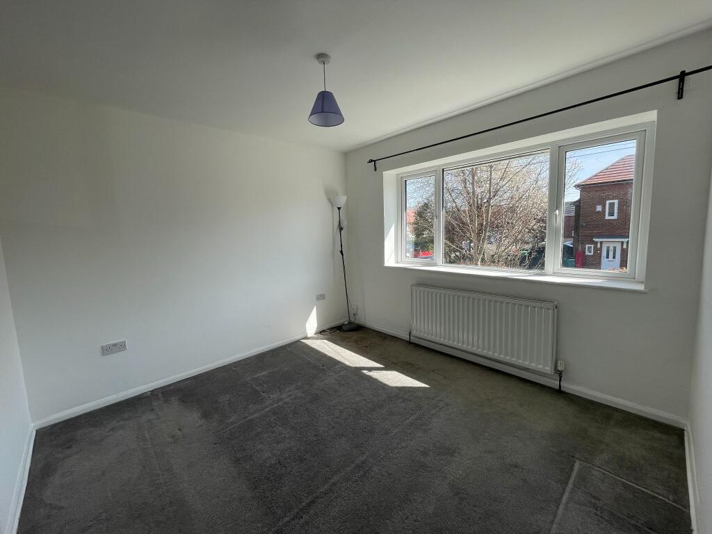
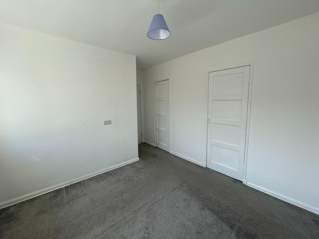
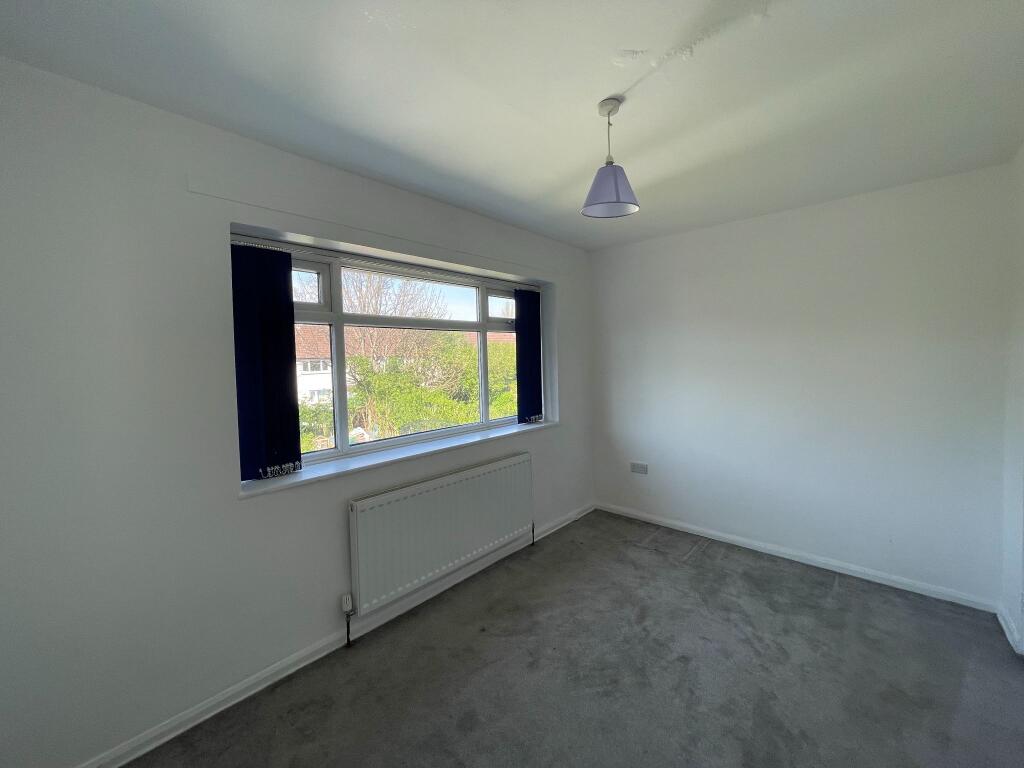
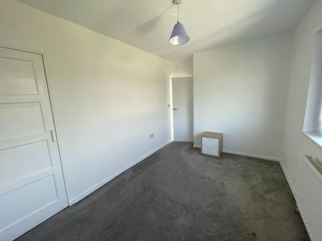
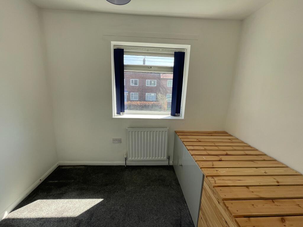
- Renovated Three Bedroom End Terraced House
- New Roof Installation
- No Chain Vendor
- Walking distance to Metrolink Tram Stop and Civic Centre
- Close Links to Manchester Airport and Wythenshawe Hospital
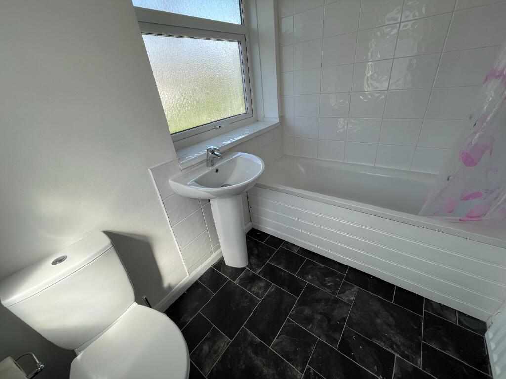
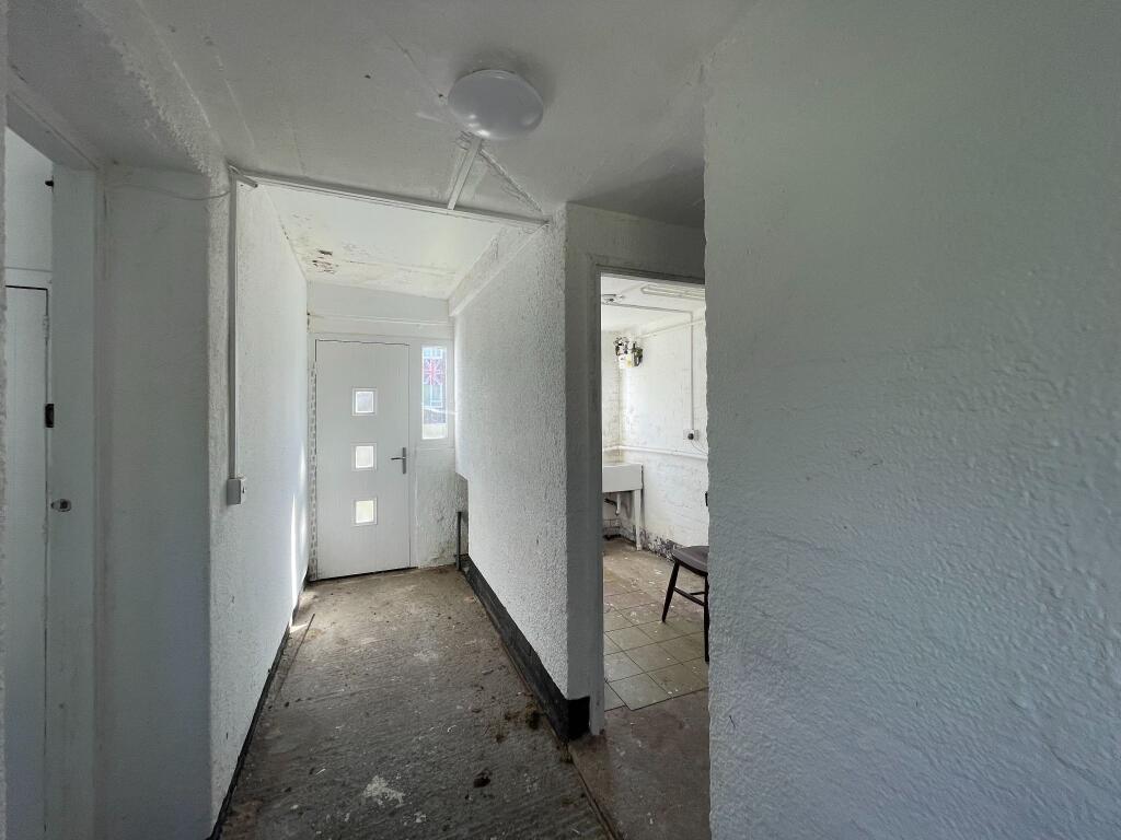
- Downstairs WC and Large Utility Room
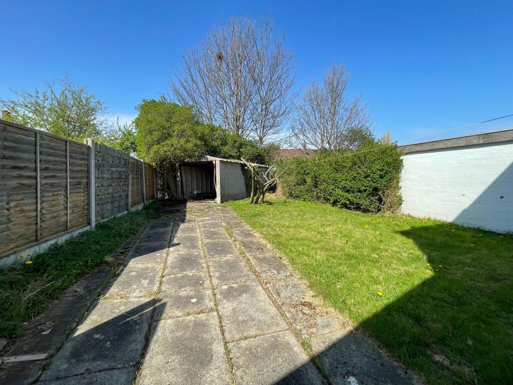
- Large West Facing Rear Garden with Garage
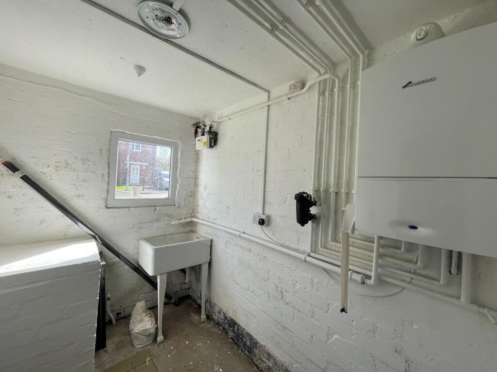
- UPVC and GCH Throughout
- Ready to Move into Property
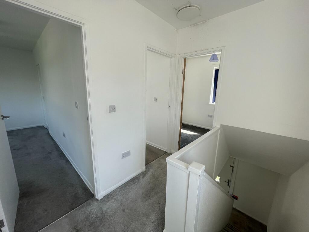
- Spacious Interior
Additional details
- Water
- Mains supply
- Sewerage
- Mains supply
- Parking
- Yes
- Garden
- Yes
- Listed property
- No
- Restrictions
- No
- Required access
- No
- Rights of way
- No
- Flooded in last 5 years
- No
- Flood defences
- No
Description
Listed by
Manchester
Bergins Estate Agents
Reference: 174520010
EPC Rating & Upgrade Cost
Fetching EPC data… Refresh this page in a moment.
Flood risk
Zone: 1
Risk: Low
Job (default Low)
EPC Graphs

EPC 1
Price history
32% since 2017
| Event | Date | Price | % change |
|---|---|---|---|
| Listed for sale | — | £245,000 | +118.8% |
| Sold | 24/11/2017 (8 years ago) | £112,000 | +31.8% |
| Sold | 09/02/2017 (9 years ago) | £85,000 | — |
Source: HM Land Registry Price Paid Data. Crown copyright.
Sold Comparables
Same street and nearby sales within 0.25 miles (last 5 years). Data from Land Registry Price Paid.
| Address | Price | Date | Type |
|---|---|---|---|
| 9 COTEFIELD ROAD, MANCHESTER, GREATER MANCHESTER, M22 1AG | £225,000 | 30/01/2023 | Terraced |
| 42 OATLANDS ROAD, MANCHESTER, GREATER MANCHESTER, M22 1AS | £48,585 | 04/11/2022 | Terraced |
| 54 LONGLEVENS ROAD, MANCHESTER, GREATER MANCHESTER, M22 1AX | £230,000 | 22/04/2022 | Terraced |
| 5 OATLANDS ROAD, MANCHESTER, GREATER MANCHESTER, M22 1BD | £270,000 | 18/02/2022 | Terraced |
| 46 OATLANDS ROAD, MANCHESTER, GREATER MANCHESTER, M22 1AS | £185,000 | 10/01/2022 | Terraced |
| 23 KINGSHOLME ROAD, MANCHESTER, GREATER MANCHESTER, M22 1AN | £215,000 | 18/11/2021 | Terraced |
| 29 KINGSHOLME ROAD, MANCHESTER, GREATER MANCHESTER, M22 1AN | £206,000 | 27/09/2021 | Terraced |
Area average: £197,084 (7 sales)
Capital growth trend
Land Registry outcode average: last 12 months vs 5y and 10y ago (from sold prices).
House Price Index (HM Land Registry — official index, not sold-price averages): Manchester. Series: Terraced. As of March 2026.
Rental Range
Estimated market rent for Manchester. Low = conservative, Realistic = average, Optimistic = best case.
Based on Local Authority from postcode lookup → Manchester.
LHA (30th percentile) floor for East Lancs: £593/mo (Apr 2025 – Mar 2026)
Location
Nearby
Nearest stations, universities and amenities (distance from property).
| Type | Name | Distance |
|---|---|---|
| Bus stop | Oatlands Road/Summerfield Road | 0.1 miles |
| Shop | SugarBird Cupcakes | 0.2 miles |
| Shop | Halo | 0.2 miles |
| Train station | Manchester Airport | 0.9 miles |
| Train station | Heald Green | 1.5 miles |
| Hospital | Altrincham Hospital | 3.4 miles |
| Hospital | Altrincham Health and Wellbeing Centre | 3.5 miles |
| University | Fallowfield Reception and Richmond Amenities Building | 5.2 miles |
| University | University of Manchester Fallowfield Campus | 5.2 miles |
Street-level crime
| Category | Count |
|---|---|
| Total incidents | 0 |
Within 1 mile during Apr 2026. Source: data.police.uk (England & Wales).
Schools nearby
Nearest open schools with Ofsted ratings (England). Closed schools are not shown. Data from Get Information about Schools and Ofsted.
| Name | Type | Distance | Ofsted |
|---|---|---|---|
| The Willows Primary School | Primary | 0.2 miles | Good — 21 Sep 2022 |
| Manchester Enterprise Academy | Secondary | 0.2 miles | Good — 22 Apr 2015 |
| St Anthony's Catholic Primary School | Primary | 0.5 miles | Good — 2 Mar 2015 |
| Ringway Primary School | Primary | 0.6 miles | Good — 21 Mar 2013 |
| Haveley Hey Community School | Primary | 0.6 miles | — (Inspected (no overall grade)) |
Rental Comparables
Residential lets from OpenRent and Rightmove for the area (same bedroom count). Use to validate rent estimates. Student lets are excluded.
| Title | Rent | Beds | Distance | As seen on |
|---|---|---|---|---|
| 3 Bed Terraced House, Furlong Road, M22 | £2,295/mo | 3 | 0.37 miles | OpenRent |
| 3 Bed Semi-Detached House, Chesham Avenue, M22 | £1,350/mo | 3 | 0.49 miles | OpenRent |
Average rent: £1,823/mo (2 listings)
Rent-driven metrics
Based on OpenRent comparables.
- Rent ratio — Monthly rent ÷ purchase price (1% rule). 1%+ = strong, 0.8–1% = okay, <0.8% = weak for cashflow.
- Max investor price — Rent ÷ 0.8%; the price at which rent would be 0.8% of price (Stoke-style target).
- Target investor price — Rent ÷ 1%; the price at which rent would be 1% of price (strong cashflow band).
- Gross yield — Annual rent as % of purchase price (no costs).
- Cost-to-rent — Price ÷ annual rent (from OpenRent comparables). Under 14× = strong, 14–16× = acceptable, 17×+ = compressed.
- Cashflow — Rent minus mortgage, 10% maintenance, £25/mo compliance. Assumes 75% LTV, 3.95% APR (5yr fixed), 25yr term.
- ROI — Annual profit ÷ cash in (deposit + 4% purchase costs).