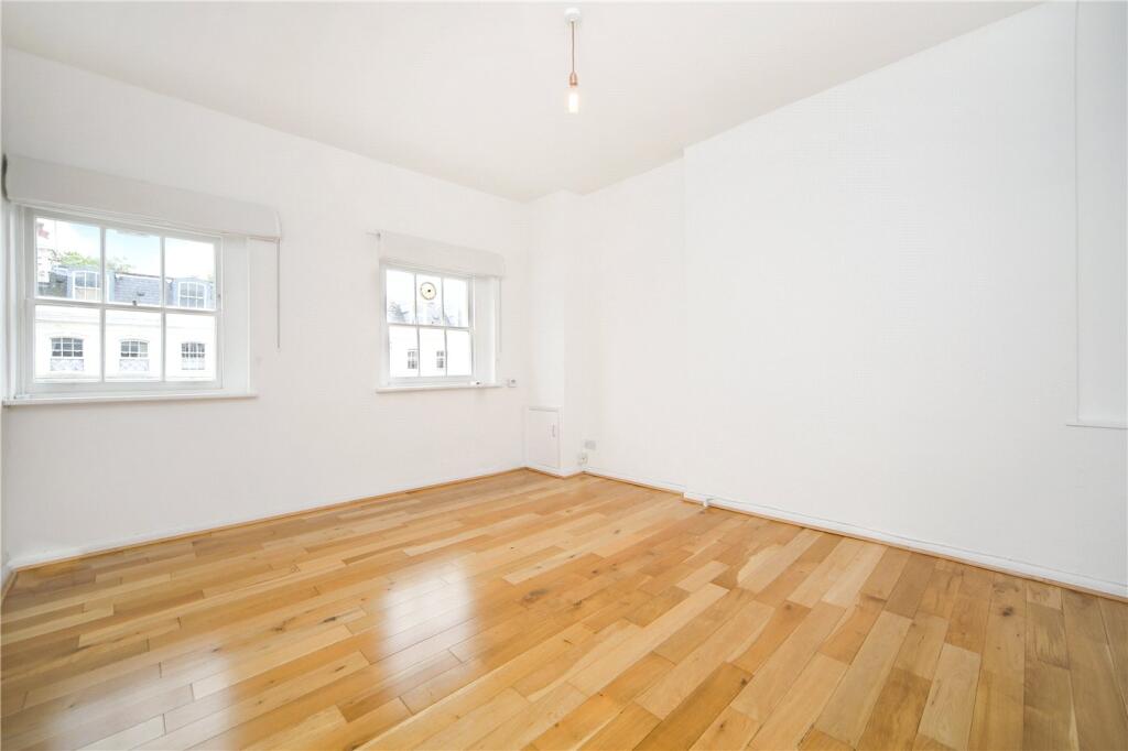
FLAT 5
6 STANLEY GARDENS, LONDON, LONDON, GREATER LONDON W11 2ND
£2,817 pcm
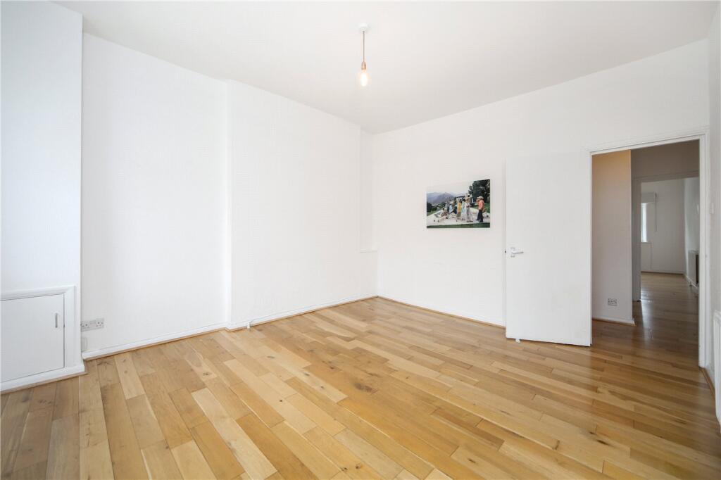
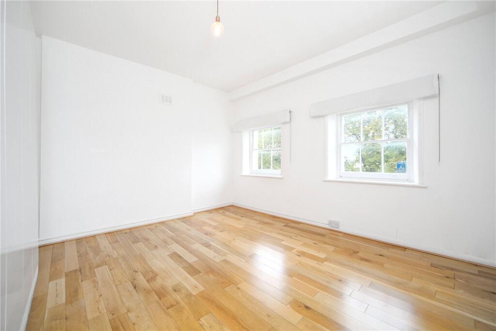
Property details
Floor area
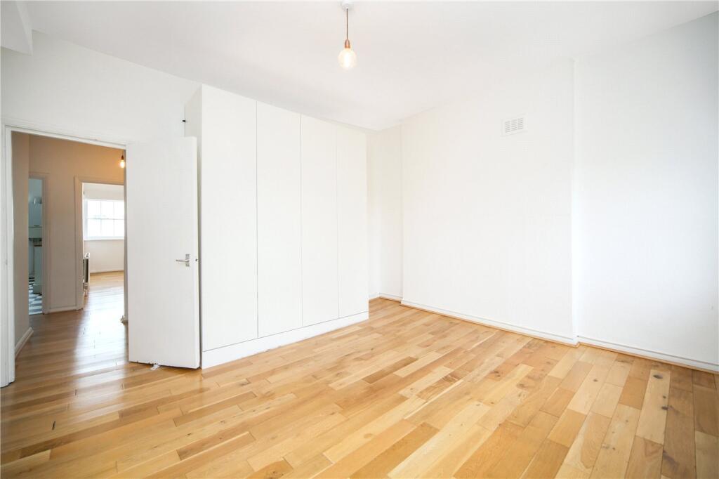
59 m²
Council tax band
E
Year built
England and Wales: before 1900
Deprivation
Decile 5 (15,841 of 33,755)
Street crime
1716 incidents within 1 mile (Apr 2026)
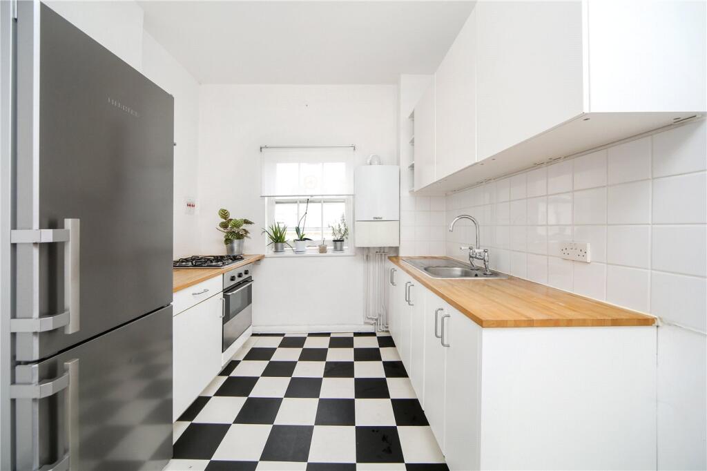
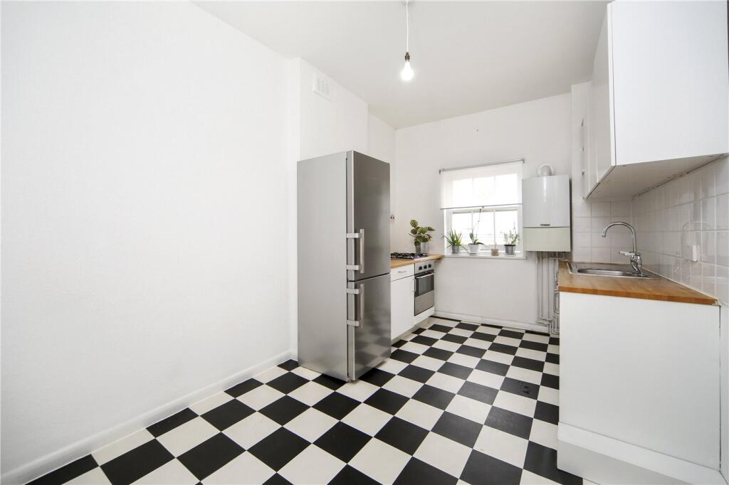
Description
Utilities:
Electricity – Mains
Water – Mains
Sewerage – Mains
Heating – Gas
Broadband
Mobile Coverage
Location:
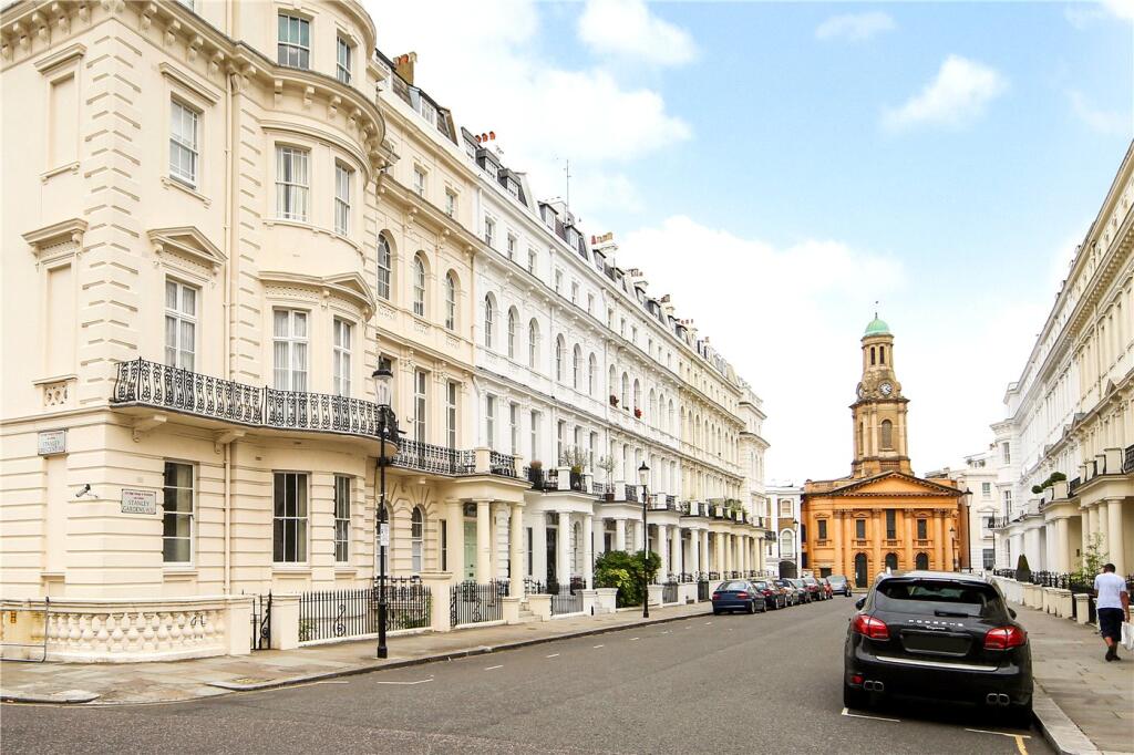
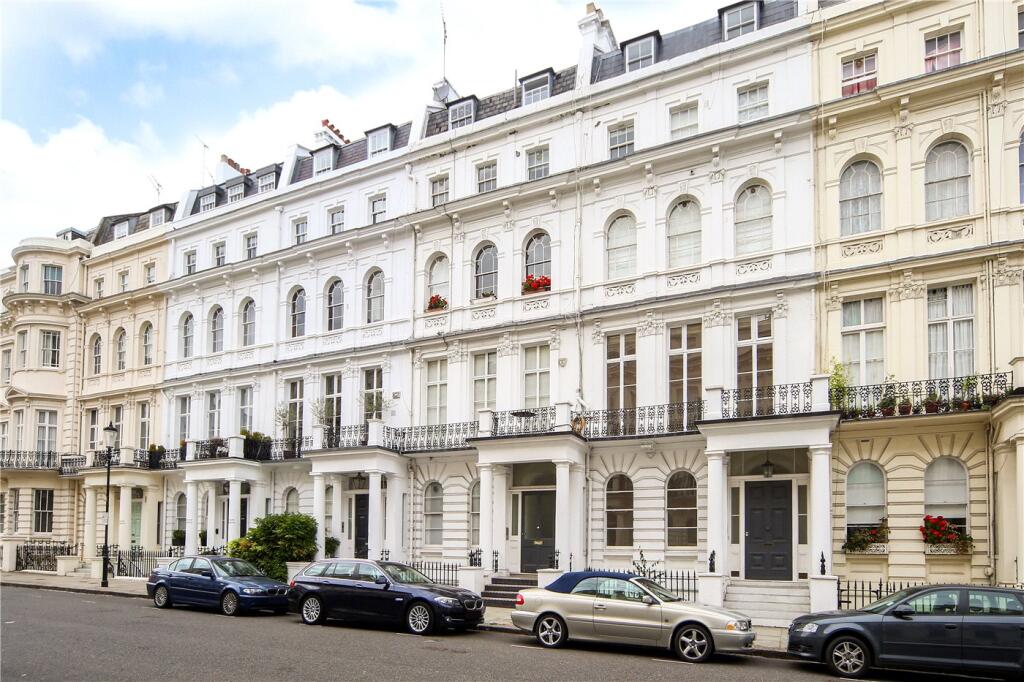
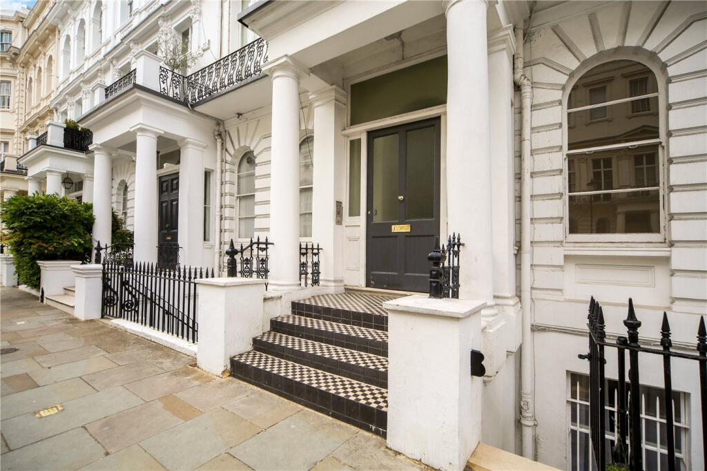
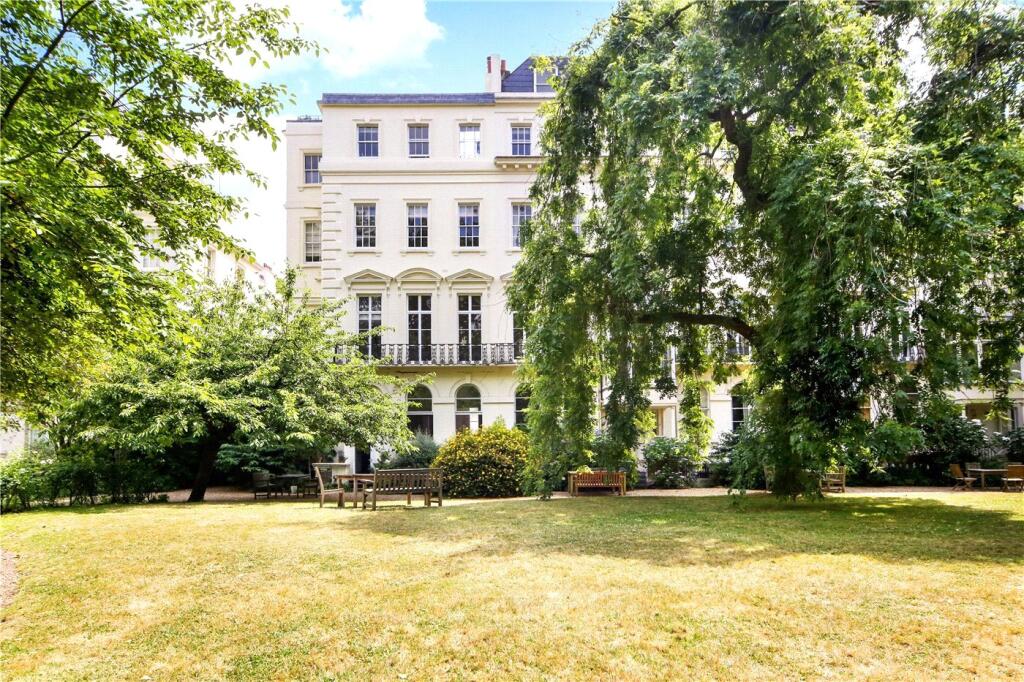
Stanley Gardens is a prime address in Notting Hill which is lined with impressive stucco fronted buildings. It lies between Kensington Park Road and Ladbroke Grove, a stone's throw from the restaurants and boutiques of Westbourne Grove and an easy walk from the Central Line at Notting Hill Gate.
Listed by
Nottinghill - Lettings
Winkworth
Reference: 88563372
EPC Rating & Upgrade Cost
Fetching EPC data… Refresh this page in a moment.
Flood risk
Zone: 1
Risk: Low
Job (default Low)
Floorplans
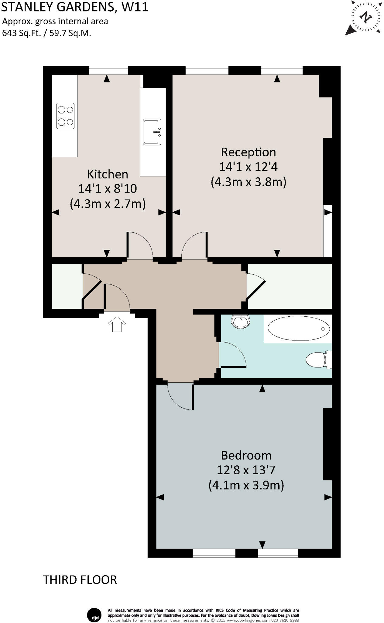
Floorplan
EPC Graphs
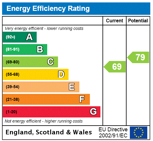
EPC Rating Graph
Company ownership
Registered legal owner is a company.
Company: THE MAYOR AND BURGESSES OF THE ROYAL BOROUGH OF KENSINGTON AND CHELSEA
Rental Range
Estimated market rent for Kensington and Chelsea. Low = conservative, Realistic = average, Optimistic = best case.
Based on Local Authority from postcode lookup → Kensington and Chelsea.
LHA (30th percentile) floor for Stevenage & North Herts: £773/mo (Apr 2025 – Mar 2026)
Location
Nearby
Nearest stations, universities and amenities (distance from property).
| Type | Name | Distance |
|---|---|---|
| Shop | Vessel Gallery | 0.0 miles |
| Shop | Native & Co | 0.0 miles |
| Bus stop | Stanley Gardens | 0.1 miles |
| Bus stop | Portobello and Golborne Market | 0.1 miles |
| Train station | Holland Park | 0.4 miles |
| Train station | Notting Hill Gate | 0.4 miles |
| University | Scale Space White City | 0.8 miles |
| University | Kennet West Skills Centre | 0.9 miles |
| Hospital | The Portland Hospital | 2.7 miles |
| Hospital | Sleep & Health Clinic | 2.8 miles |
Street-level crime
| Category | Count |
|---|---|
| Anti-social behaviour | 364 |
| Violence and sexual offences | 352 |
| Shoplifting | 342 |
| Other theft | 140 |
| Public order | 112 |
| Theft from the person | 78 |
| Vehicle crime | 78 |
| Drugs | 64 |
| Burglary | 63 |
| Criminal damage and arson | 51 |
| Robbery | 28 |
| Bicycle theft | 27 |
| Other crime | 10 |
| Possession of weapons | 7 |
| Total incidents | 1716 |
Within 1 mile during Apr 2026. Source: data.police.uk (England & Wales).
Schools nearby
Nearest open schools with Ofsted ratings (England). Closed schools are not shown. Data from Get Information about Schools and Ofsted.
| Name | Type | Distance | Ofsted |
|---|---|---|---|
| Colville Primary School | Primary | 0.2 miles | Outstanding — 11 Mar 2019 |
| Southbank International School Kensington | Other | 0.3 miles | — (No rating) |
| The Stewart Bilingual School | Other | 0.3 miles | — (No rating) |
| Notting Hill Prep School | Other | 0.4 miles | — (No rating) |
| Wetherby School | Other | 0.4 miles | — (No rating) |
Rental Comparables
Residential lets from OpenRent and Rightmove for the area (same bedroom count). Use to validate rent estimates. Student lets are excluded.
| Title | Rent | Beds | Distance | As seen on |
|---|---|---|---|---|
| 1 Bed Penthouse, Portobello Road, W11 | £2,000/mo | 1 | 0.29 miles | OpenRent |
Average rent: £2,000/mo (1 listing)